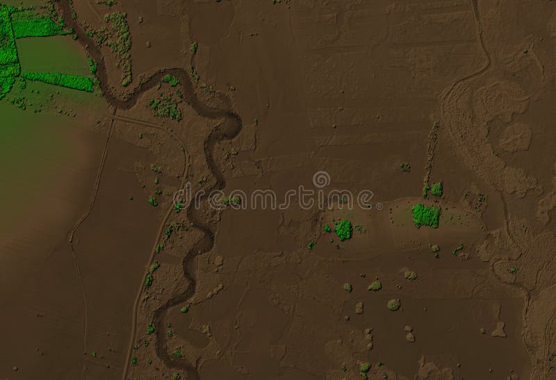
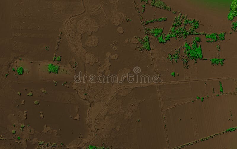
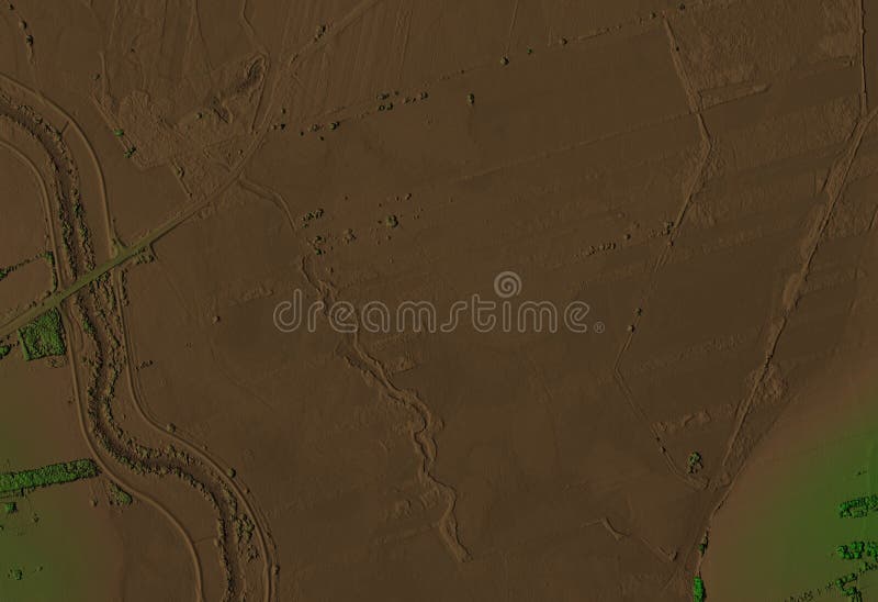
トライアルで無料 ドローンによる空中マッピングで作成されたGIS製品。LiDARスキャンとマルチスペクトルカメラは、NDVIおよびNIR効果をもたらします。. 曲がりくねった川が流れる森林地帯の標高スキャン. ドローンによる空中マッピングで作成されたGIS製品。LiDARスキャンとマルチスペクトルカメラは、NDVIおよびNIR効果をもたらします。
トライアルで無料 ドローンによる空中マッピングで作られたGIS製品。LiDARスキャンとマルチスペクトルカメラは、NDVIおよびNIR効果をもたらします。. 曲がりくねった川が流れる森林地域の標高スキャン. ドローンによる空中マッピングで作られたGIS製品。LiDARスキャンとマルチスペクトルカメラは、NDVIおよびNIR効果をもたらします。
トライアルで無料 Gis product made by aerial mapping from a drone lidar scan and multispectral camera gives ndvi and nir effect elevation scan of a gis product made by aerial mapping from a drone lidar scan and multispectral camera gives ndvi and nir effect elevation scan of a.
トライアルで無料 Gis product made by aerial mapping from a drone lidar scan and multispectral camera gives ndvi nir effect elevation model of river gis product made by aerial mapping from a drone lidar scan and multispectral camera gives ndvi nir effect elevation model of river.
トライアルで無料 Gis product made by aerial mapping from a drone lidar scan and multispectral camera gives ndvi nir effect elevation of forest area gis product made by aerial mapping from a drone lidar scan and multispectral camera gives ndvi nir effect elevation of forest area.
トライアルで無料 Elevation model of a forest area with ditches gis product made by aerial mapping from drone lidar scan and multispectral camera elevation model of a forest area with ditches gis product made by aerial mapping from drone lidar scan and multispectral camera.
トライアルで無料 Elevation scan of a forest area with a meandering river gis product made by aerial mapping from a drone lidar scan and elevation scan of a forest area with a meandering river gis product made by aerial mapping from a drone lidar scan and.
トライアルで無料 Gis product made by aerial mapping from a drone lidar scan and multispectral camera gives ndvi nir effect elevation model of swamp gis product made by aerial mapping from a drone lidar scan and multispectral camera gives ndvi nir effect elevation model of swamp.
トライアルで無料 Elevation model of a river area with a forest gis product made by aerial mapping from a drone lidar scan and multispectral camera elevation model of a river area with a forest gis product made by aerial mapping from a drone lidar scan and multispectral camera.
トライアルで無料 Gis product made by aerial mapping from a drone lidar scan and multispectral camera gives ndvi nir effect elevation model of swamp gis product made by aerial mapping from a drone lidar scan and multispectral camera gives ndvi nir effect elevation model of swamp.
トライアルで無料 Elevation model of a river area with a small trees gis product made by aerial mapping from a drone lidar scan and multispectral elevation model of a river area with a small trees gis product made by aerial mapping from a drone lidar scan and multispectral.
トライアルで無料 Elevation scan of a flat area with a meandering river gis product made by aerial mapping from a drone lidar scan and multispectral elevation scan of a flat area with a meandering river gis product made by aerial mapping from a drone lidar scan and multispectral.
トライアルで無料 Elevation model of a river area with a ditches gis product made by aerial mapping from a drone lidar scan and multispectral camera elevation model of a river area with a ditches gis product made by aerial mapping from a drone lidar scan and multispectral camera.
トライアルで無料 Elevation scan of a forest area with meandering river gis product made by aerial mapping from drone lidar and multispectral camera elevation scan of a forest area with meandering river gis product made by aerial mapping from drone lidar and multispectral camera.
トライアルで無料 Elevation scan of a forest area with meandering river gis product made by aerial mapping from drone lidar and multispectral camera elevation scan of a forest area with meandering river gis product made by aerial mapping from drone lidar and multispectral camera.
 ログイン