Royalty-Free Stock Photo
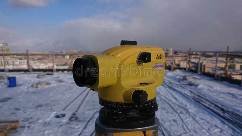
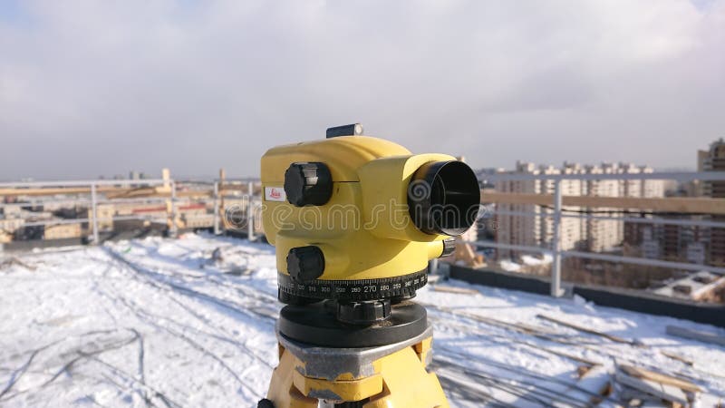
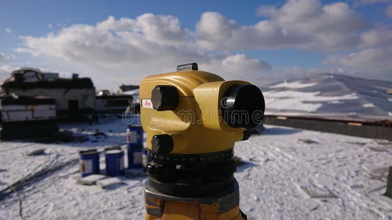
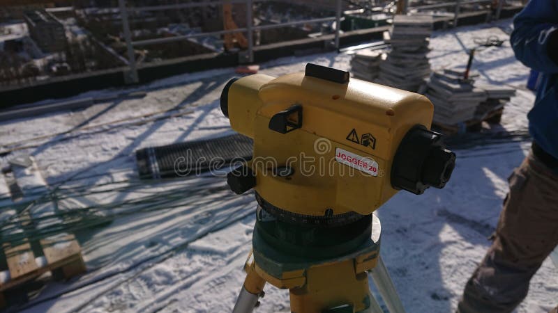
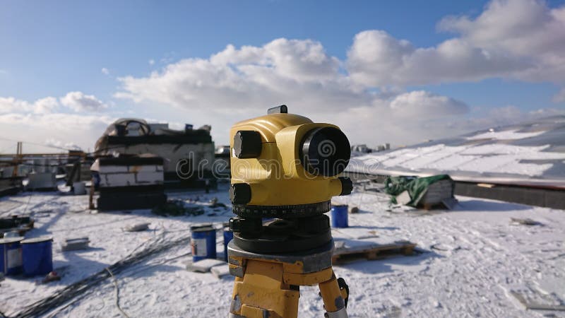
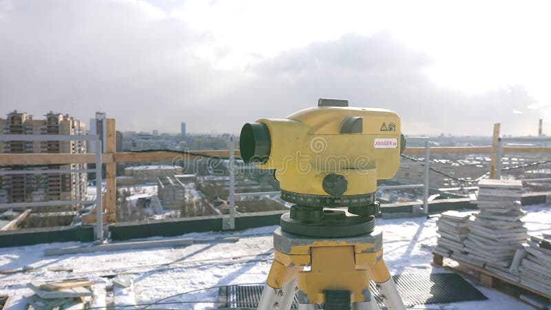
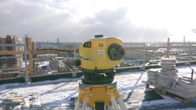
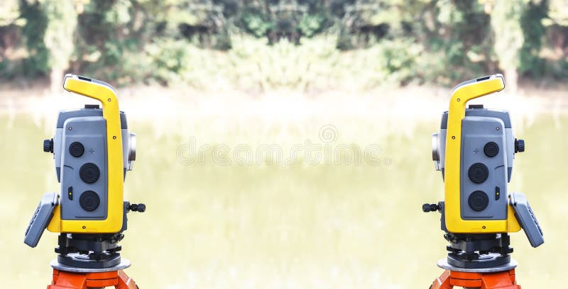
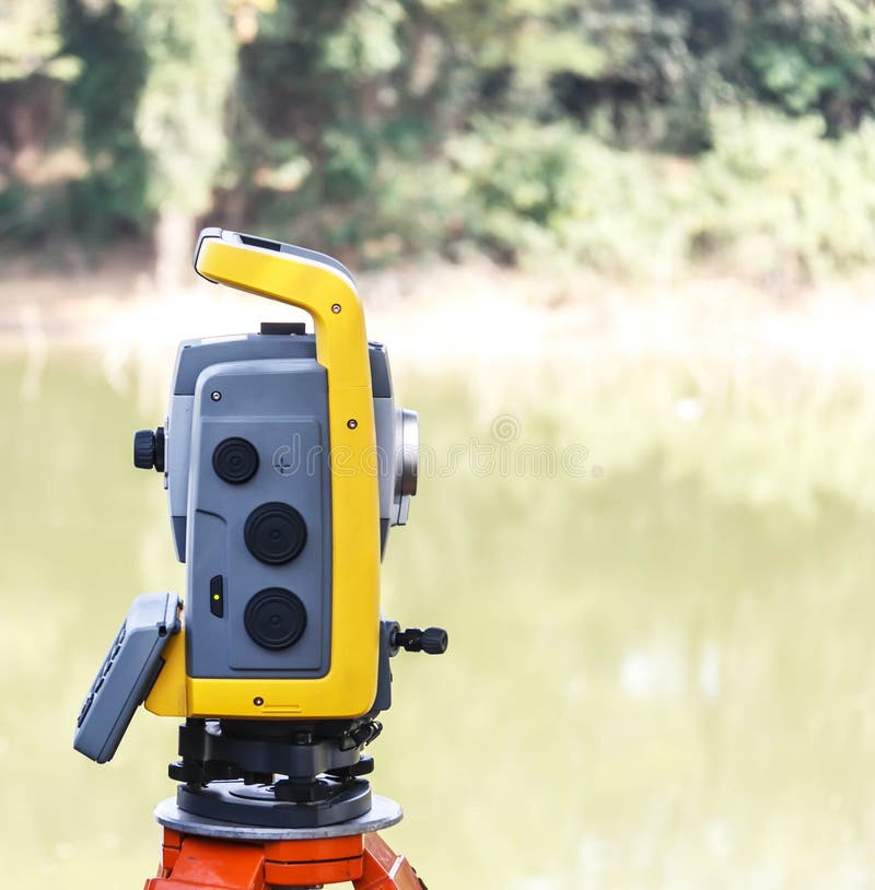
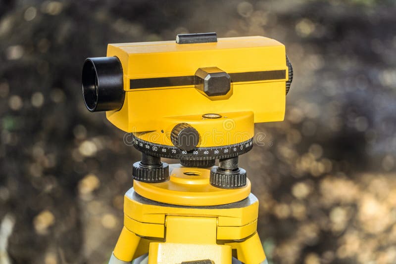
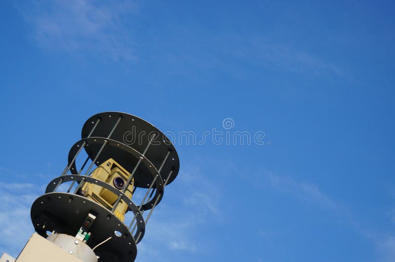
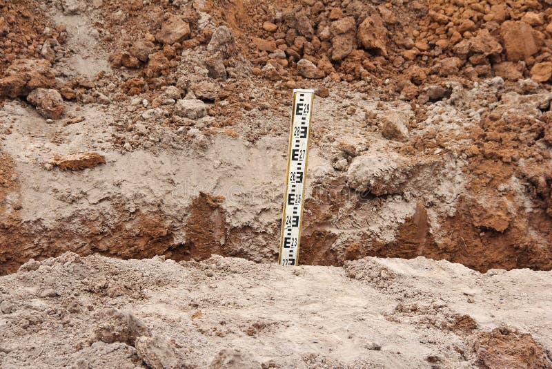
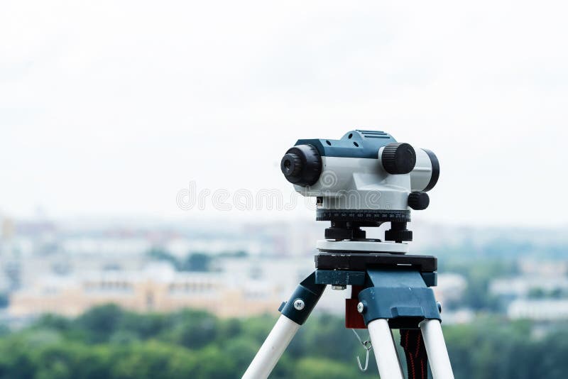
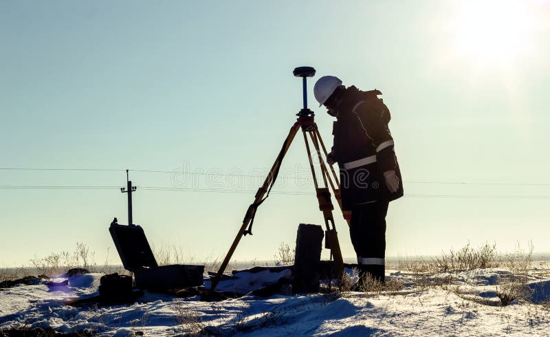
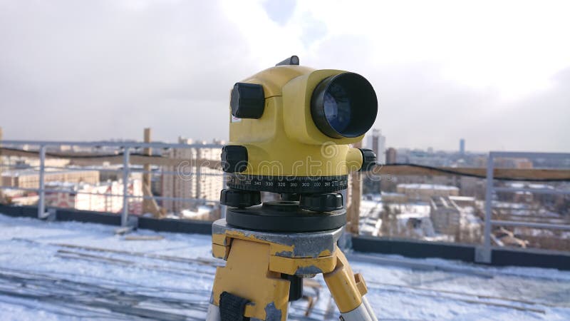
A geodetic tool for leveling, that is, determining the height difference between several points of the earth`s surface. The main method for determining the excess is geometric leveling
Exclusively on Dreamstime
- ?
$62.50USD
$150.00USD
$250.00USD
Size MAX
5504x3096px •
18.3" x 10.3" • @300dpi •
6.4MB • jpg
Author credit line

Image keywords
Related searches
More similar stock images