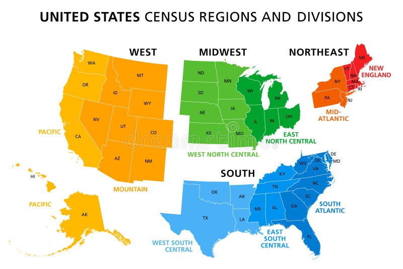
Free with trial United States, Census regions and divisions, political map. Region definition widely used for data collection and analysis. The most commonly used classification system. English. Illustration. Vector. Administrative divisions states vectors United States, Census regions and divisions, political map
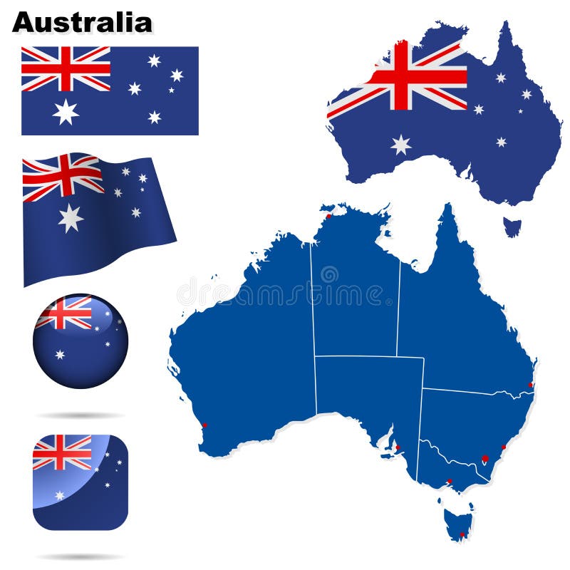
Free with trial Australiaset. Detailed country shape with region borders, flags and icons isolated on white background. Administrative divisions states vectors Australiaset
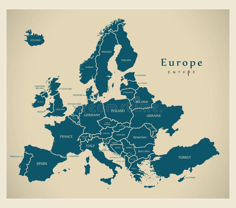
Free with trial Modern Map - Europe with countries and labels illustration. Administrative divisions states vectors Modern Map - Europe with countries and labels
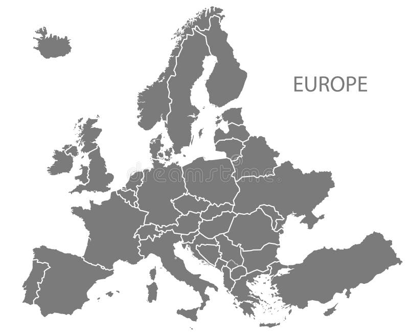
Free with trial Modern Map - Europe with updated states from 2019 in grey illustration. Administrative divisions states vectors Modern Map - Europe with updated states from 2019 in grey
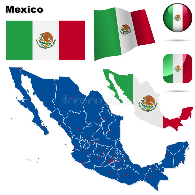
Free with trial Mexico set. Detailed country shape with region borders, flags and icons isolated on white background. Administrative divisions states vectors Mexico set.
Free with trial Map of United States split into Census regions and divisions. Region definition, widely used for data collection and analysis. Most commonly used classification system. English. Illustration. Vector. Administrative divisions states vectors Map of United States split into Census regions and divisions
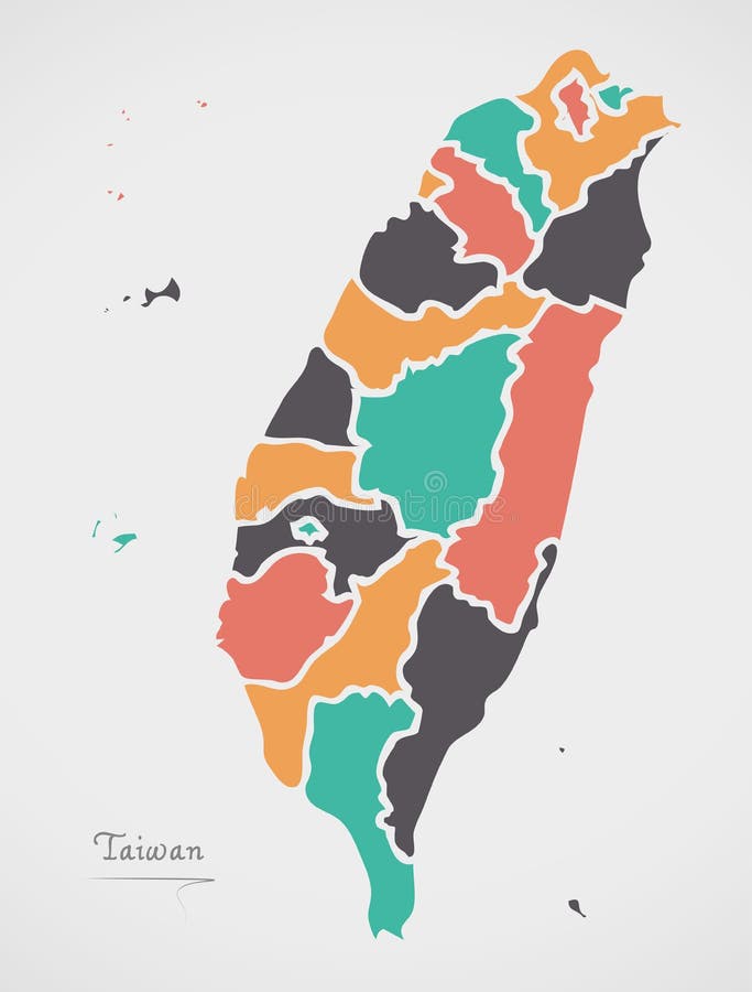
Free with trial Taiwan Map with states and modern round shapes illustration. Administrative divisions states vectors Taiwan Map with states and modern round shapes
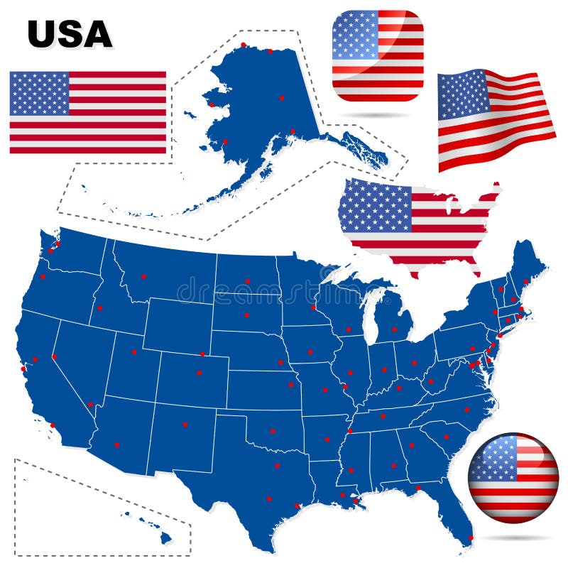
Free with trial Set of the political USA maps, markers and symbols for infographic. Administrative divisions states vectors United States maps with markers. Set of the political USA maps, markers and symbols for infographic
Free with trial Set of the political Mexico maps, markers and symbols for infographic. Administrative divisions states vectors United Mexican States maps with markers. Set of the political Mexico maps, markers and symbols for infographic
Free with trial San Francisco city map USA labelled black illustration. Administrative divisions states vectors San Francisco city map USA labelled black illustration
Free with trial USA set. Detailed country shape with region borders, flags and icons isolated on white background. Administrative divisions states vectors USA vector set. USA set. Detailed country shape with region borders, flags and icons isolated on white background.
Free with trial Set of the political Canada maps, markers and symbols for infographic. Administrative divisions states vectors Canada maps with markers. Set of the political Canada maps, markers and symbols for infographic
Free with trial New Zealand set. Detailed country shape with region borders, flags and icons isolated on white background. Administrative divisions states vectors New Zealand set.
Free with trial Vector map of North America with flags and location on world map. Administrative divisions states vectors Map of North America
Free with trial Vector of Mexico map with regions on white. Administrative divisions states vectors Mexico map with regions
Free with trial Vector of Nigeria map with flag, coat of arms and other icons on white. Administrative divisions states vectors Nigeria map with regions. Vector of Nigeria map with flag, coat of arms and other icons on white
Free with trial 12 of 50 states of the United States with a name, nickname, and date admitted to the Union, Detailed Vector North Carolina Map for printing posters, postcards and t-shirts. Administrative divisions states vectors 12 of 50 states of the United States with a name, nickname, and date admitted to the Union, Detailed Vector North Carolina Map for
Free with trial 48 of 50 states of the United States with a name, nickname, and date admitted to the Union, Detailed Vector Arizona Map for printing posters, postcards and t-shirts. Administrative divisions states vectors 48 of 50 states of the United States with a name, nickname, and date admitted to the Union, Detailed Vector Arizona Map for
Free with trial 40 of 50 states of the United States with a name, nickname, and date admitted to the Union, Detailed Vector South Dakota Map for printing posters, postcards and t-shirts. Administrative divisions states vectors 40 of 50 states of the United States with a name, nickname, and date admitted to the Union, Detailed Vector South Dakota Map for
Free with trial 47 of 50 states of the United States with a name, nickname, and date admitted to the Union, Detailed Vector New Mexico Map for printing posters, postcards and t-shirts. Administrative divisions states vectors 47 of 50 states of the United States with a name, nickname, and date admitted to the Union, Detailed Vector New Mexico Map for
Free with trial Isometric 3D United States of America USA map. Stylized vector map illustration with cities, borders, capital, administrative divisions and pointer marks; gradient background with grid. Administrative divisions states vectors Isometric United States of America map with city names and admin. Isometric 3D United States of America USA map. Stylized vector map illustration with cities, borders, capital, administrative divisions and pointer marks; gradient background with grid.
Free with trial Political map of North American countries Canada, United States of America and Mexico with administrative divisions. Thin black outline map with countries and states name labels. Vector illustration. Administrative divisions states vectors Political map of North America
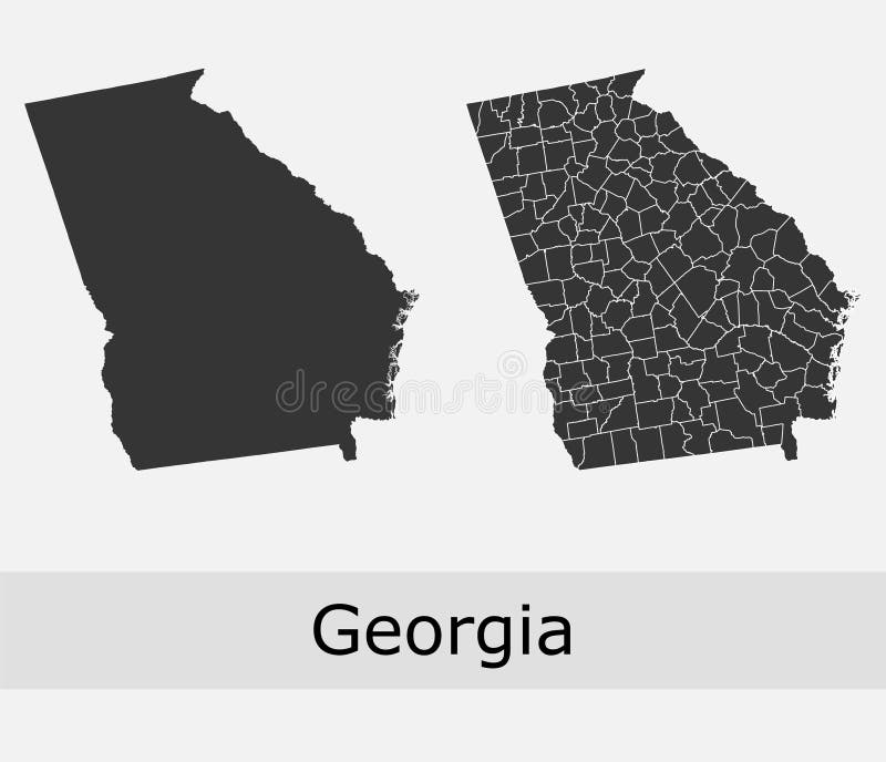
Free with trial Georgia vector maps of counties, its townships and regions, administrative borders. Administrative divisions states vectors Georgia counties vector map. Georgia vector maps of counties, its townships and regions, administrative borders
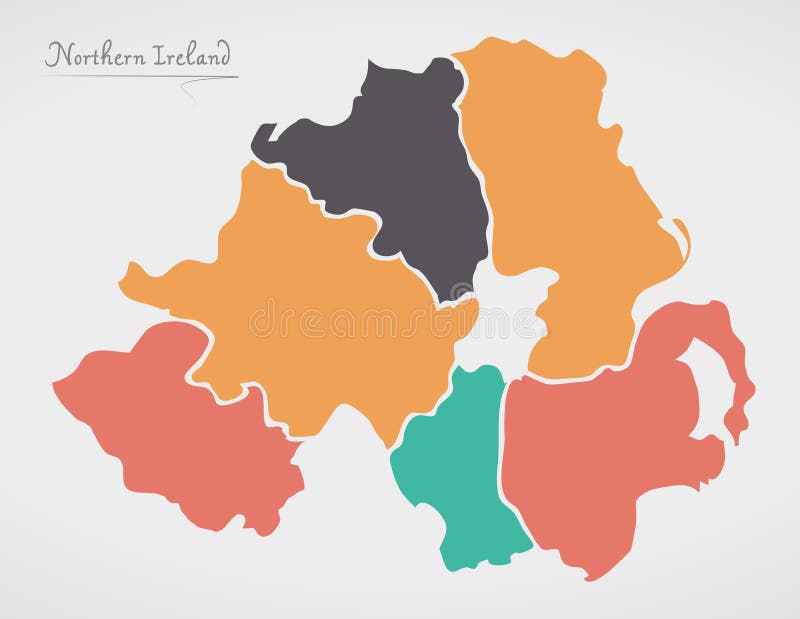
Free with trial Northern Ireland Map with states and modern round shapes illustration. Administrative divisions states vectors Northern Ireland Map with states and modern round shapes
Free with trial Indonesia Map with states and modern round shapes illustration. Administrative divisions states vectors Indonesia Map with states and modern round shapes
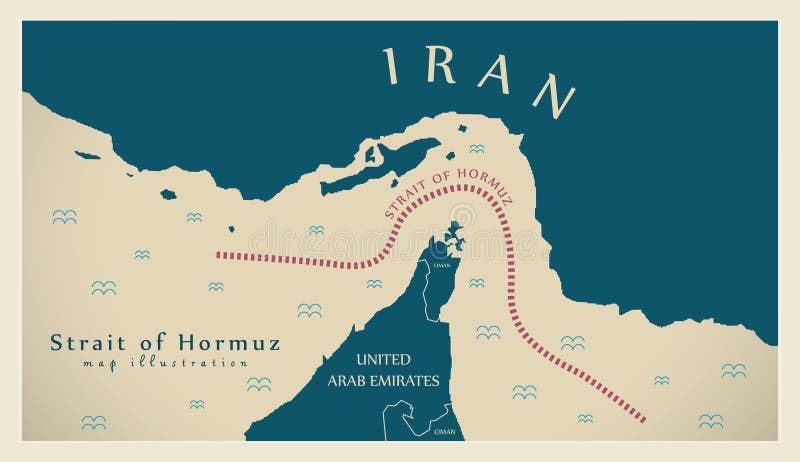
Free with trial Strait of Hormuz modern map illustration. Administrative divisions states vectors Strait of Hormuz map illustration. Strait of Hormuz modern map illustration
Free with trial Modern Map - St. John BB illustration. Administrative divisions states illustrations Modern Map - St. John BB
Free with trial Modern Map - St. Lucy BB illustration. Administrative divisions states illustrations Modern Map - St. Lucy BB
Free with trial Modern Map - St. Peter BB illustration. Administrative divisions states illustrations Modern Map - St. Peter BB
Free with trial Modern Map - Barbados BB illustration. Administrative divisions states illustrations Modern Map - Barbados BB
Free with trial Modern Map - St. James BB illustration. Administrative divisions states illustrations Modern Map - St. James BB
Free with trial Modern Map - St. Thomas BB illustration. Administrative divisions states illustrations Modern Map - St. Thomas BB
Free with trial Modern Map - St. Philip BB illustration. Administrative divisions states illustrations Modern Map - St. Philip BB
Free with trial Modern Map - St. George BB illustration. Administrative divisions states illustrations Modern Map - St. George BB
Free with trial Modern Map - St. Andrew BB illustration. Administrative divisions states illustrations Modern Map - St. Andrew BB
Free with trial Modern Map - St. Joseph BB illustration. Administrative divisions states illustrations Modern Map - St. Joseph BB
Free with trial Portland Oregon city map USA labelled black illustration. Administrative divisions states vectors Portland Oregon city map USA labelled black illustration
Free with trial Modern Map - St. Michael BB illustration. Administrative divisions states illustrations Modern Map - St. Michael BB
Free with trial Modern Map - Christ Church BB illustration. Administrative divisions states illustrations Modern Map - Christ Church BB
Free with trial Pittsburgh Pennsylvania Map with neighborhoods and modern round shapes illustration. Administrative divisions states vectors Pittsburgh Pennsylvania Map with neighborhoods and modern round
Free with trial Modern Map - Barbados with parishes BB illustration. Administrative divisions states illustrations Modern Map - Barbados with parishes BB
Free with trial Tennessee - North Carolina - Alabama - Georgia - South Carolina labelled black illustration. Administrative divisions states illustrations Tennessee - North Carolina - Alabama - Georgia - South Carolina
Free with trial Washington DC city map USA labelled black illustration. Administrative divisions states vectors Washington DC city map USA labelled black illustration
Free with trial Modern Map - Barbados with parishes colored BB illustration. Administrative divisions states illustrations Modern Map - Barbados with parishes colored BB
Free with trial Modern Map - Barbados with detailed parishes BB illustration. Administrative divisions states illustrations Modern Map - Barbados with detailed parishes BB
Free with trial Baltimore Maryland city map with neighborhoods grey illustration silhouette. Administrative divisions states vectors Baltimore Maryland city map with neighborhoods grey illustration
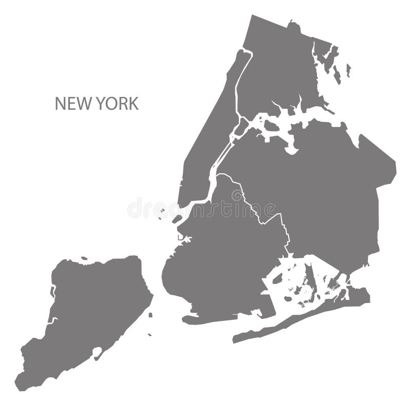
Free with trial New York city map with boroughs grey illustration silhouette shape. Administrative divisions states vectors New York city map with boroughs grey illustration silhouette shape
Free with trial Modern Map - England with counties UK Illustration. Administrative divisions states vectors Modern Map - England with counties UK
Free with trial Colorado - Kansas - Oklahoma - Missouri Map labelled black illustration. Administrative divisions states illustrations Colorado - Kansas - Oklahoma - Missouri Map labelled black
Free with trial Alabama - Georgia - South Carolina - Florida Map labelled black illustration. Administrative divisions states illustrations Alabama - Georgia - South Carolina - Florida Map labelled black
Free with trial Michigan - Wisconsin - Illinois - Indiana - Ohio Map labelled black illustration. Administrative divisions states illustrations Michigan - Wisconsin - Illinois - Indiana - Ohio Map labelled bl
Free with trial Barbados map with regions and labels black illustration. Administrative divisions states vectors Barbados map with regions and labels black
Free with trial Australia vector set with country shape, flags and symbols on white background. Administrative divisions states vectors Australia map. Australia vector set with country shape, flags and symbols on white background
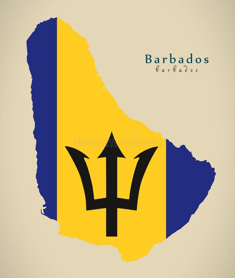
Free with trial Modern Map - Barbados colored flag BB illustration. Administrative divisions states illustrations Modern Map - Barbados colored flag BB
Free with trial Vector map of Argentina with provinces or federated states and administrative divisions. Editable and clearly labeled layers. Administrative divisions states vectors Vector map of Argentina with provinces or federated states and administrative divisions.
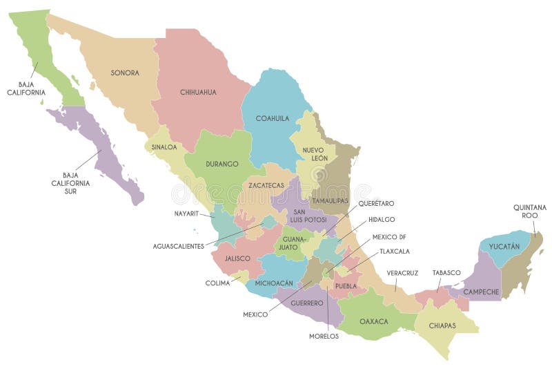
Free with trial Vector map of Mexico with regions or or states and administrative divisions. Editable and clearly labeled layers. Administrative divisions states vectors Vector map of Mexico with regions or or states and administrative divisions.
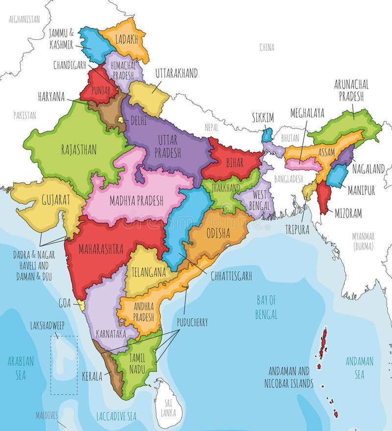
Free with trial Vector illustrated map of India with states and territories and administrative divisions, and neighbouring countries. Editable and clearly labeled layers. Administrative divisions states vectors Vector illustrated map of India with states and territories and administrative divisions, and neighbouring countries
Free with trial Vector blank map of USA with states and administrative divisions, and neighbouring countries. Editable and clearly labeled layers. Administrative divisions states vectors Vector blank map of USA with states and administrative divisions, and neighbouring countries.
Free with trial Vector blank map of Mexico with regions or states and administrative divisions, and neighbouring countries. Editable and clearly labeled layers. Administrative divisions states vectors Vector blank map of Mexico with regions or states and administrative divisions, and neighbouring countries.
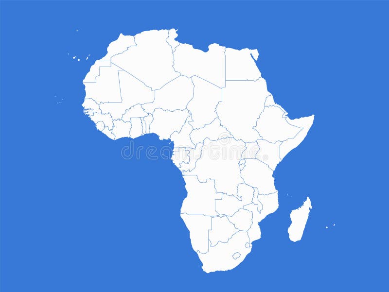
Free with trial Africa map, administrative divisions whit states, blue background, blank template. Administrative divisions states vectors Africa map, administrative divisions whit states, blue background, blank
Free with trial Vector illustrated blank map of USA with states and administrative divisions, and neighbouring countries. Editable and clearly labeled layers. Administrative divisions states vectors Vector illustrated blank map of USA with states and administrative divisions, and neighbouring countries.
Free with trial Vector regional map of Nigeria with states and administrative divisions. Editable and clearly labeled layers. Administrative divisions states vectors Vector regional map of Nigeria with states and administrative divisions. Editable and clearly labeled layers
Free with trial Vector map of India with states and territories and administrative divisions. Editable and clearly labeled layers. Administrative divisions states vectors Vector map of India with states and territories and administrative divisions
Free with trial United States divided in Census regions and divisions, gray map. Region definition used for data collection and analysis. Most commonly used classification system. English. Illustration. Vector. Administrative divisions states vectors United States divided in Census regions and divisions, gray map
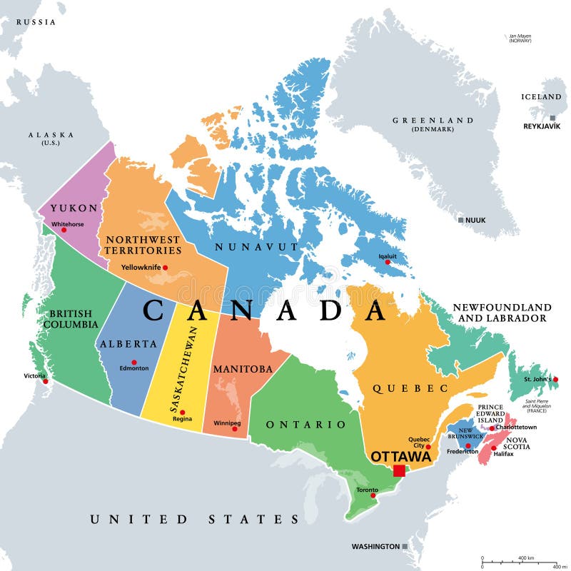
Free with trial Canada,administrative divisions,colored political map. Ten provinces and three territories of Canada,with borders and capitals. Country in North America,and second largest country of the world. Administrative divisions states vectors Canada, administrative divisions, provinces and territories, colored map. Canada,administrative divisions,colored political map. Ten provinces and three territories of Canada,with borders and capitals. Country in North America,and second largest country of the world.
Free with trial Administrative vector map of the states of the Southeastern United States. Administrative divisions states vectors Administrative vector map of the states of the Southeastern United States
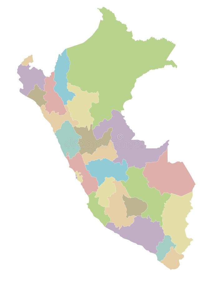
Free with trial Vector blank map of Peru with departments, provinces and administrative divisions. Editable and clearly labeled layers. Administrative divisions states vectors Vector blank map of Peru with departments, provinces and administrative divisions.
Free with trial Vector map of Italy with regions and administrative divisions. Editable and clearly labeled layers. Administrative divisions states vectors Vector map of Italy with regions and administrative divisions.
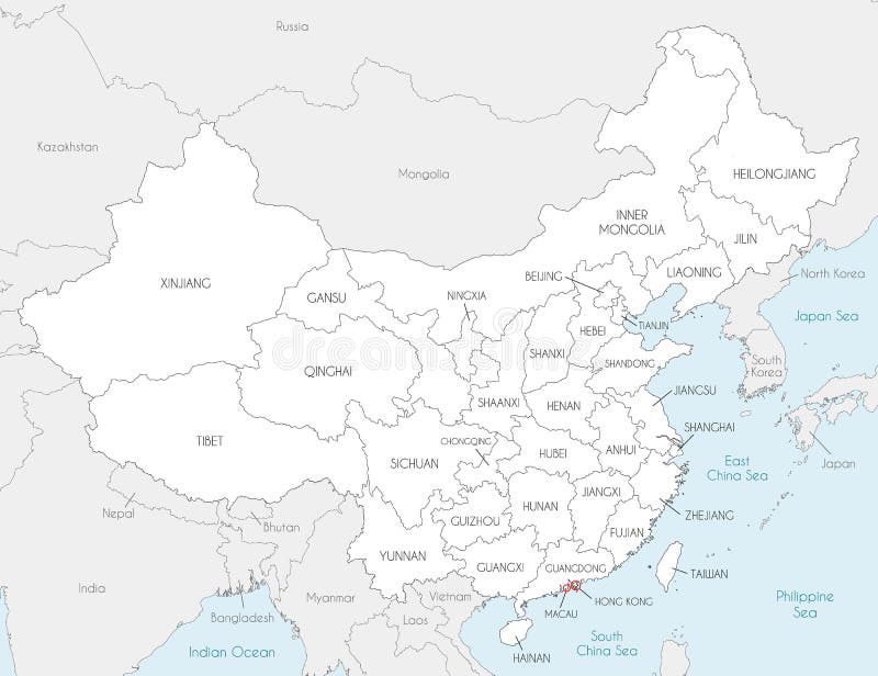
Free with trial Vector map of China with provinces, regions and administrative divisions, and neighbouring countries. Editable and clearly labeled layers. Administrative divisions states vectors Vector map of China with provinces, regions and administrative divisions, and neighbouring countries.
Free with trial Vector illustrated blank map of Peru with departments, provinces and administrative divisions, and neighbouring countries. Editable and clearly labeled layers. Administrative divisions states vectors Vector illustrated blank map of Peru with departments, provinces and administrative divisions, and neighbouring countries.
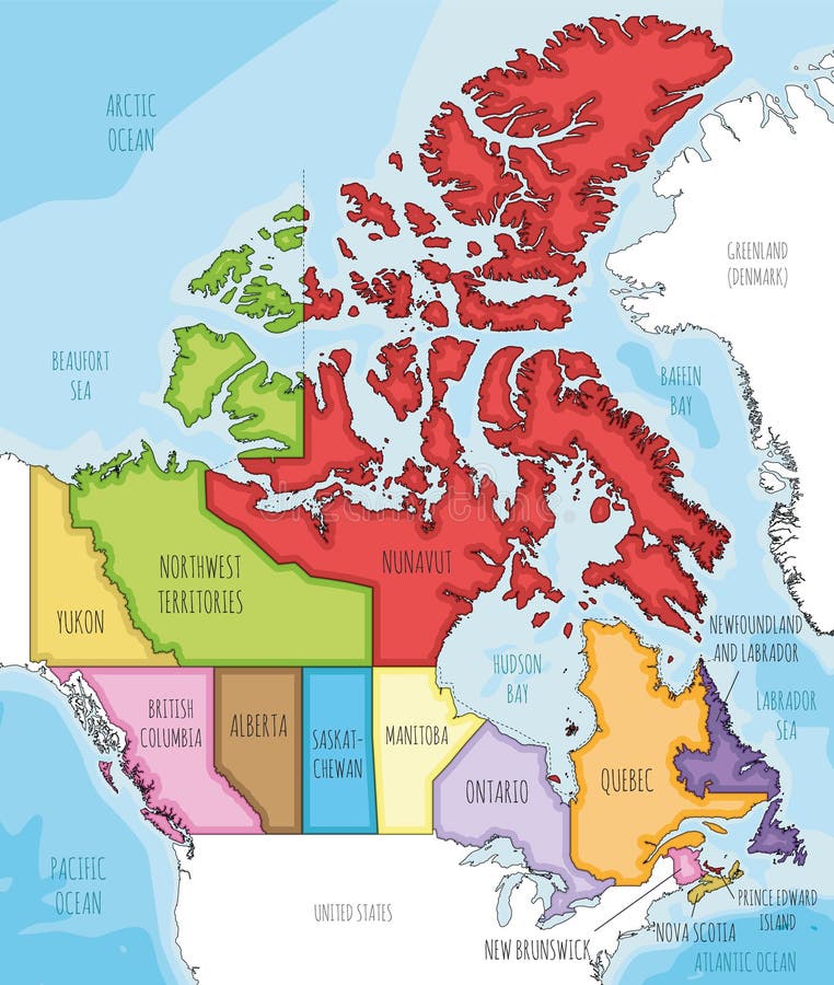
Free with trial Vector illustrated map of Canada with provinces and territories and administrative divisions, and neighbouring countries and territories. Editable and clearly labeled layers. Administrative divisions states vectors Vector illustrated map of Canada with provinces and territories and administrative divisions, and neighbouring countries
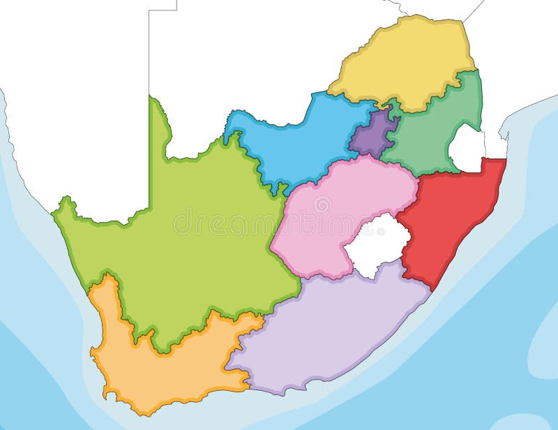
Free with trial Vector illustrated blank map of South Africa with provinces and administrative divisions, and neighbouring countries. Editable and clearly labeled layers. Administrative divisions states vectors Vector illustrated blank map of South Africa with provinces and administrative divisions, and neighbouring countries
Free with trial Vector blank map of China with provinces, regions and administrative divisions. Editable and clearly labeled layers. Administrative divisions states vectors Vector blank map of China with provinces, regions and administrative divisions
Free with trial Vector blank map of Italy with regions and administrative divisions, and neighbouring countries and territories. Editable and clearly labeled layers. Administrative divisions states vectors Vector blank map of Italy with regions and administrative divisions, and neighbouring countries and territories.
Free with trial Vector illustrated blank map of Saudi Arabia with provinces and administrative divisions, and neighbouring countries. Editable and clearly labeled layers. Administrative divisions states vectors Vector illustrated blank map of Saudi Arabia with provinces and administrative divisions, and neighbouring countries
Free with trial Vector map of China with provinces, regions and administrative divisions. Editable and clearly labeled layers. Administrative divisions states vectors Vector map of China with provinces, regions and administrative divisions
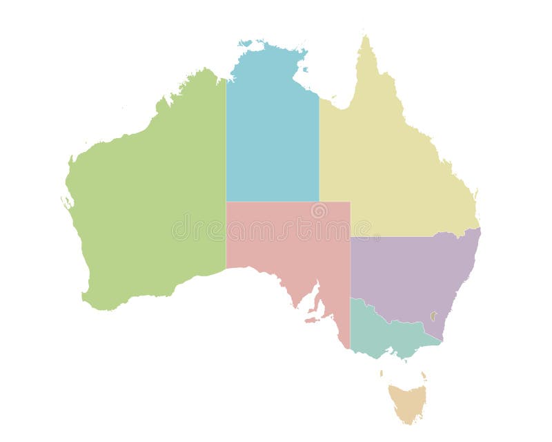
Free with trial Vector blank map of Australia with regions or territories and administrative divisions. Editable and clearly labeled layers. Administrative divisions states vectors Vector blank map of Australia with regions or territories and administrative divisions.
Free with trial Vector map of Russia with regions or or federal districts and administrative divisions. Editable and clearly labeled layers. Administrative divisions states vectors Vector map of Russia with regions or or federal districts and administrative divisions.
Free with trial Vector map of China with provinces, regions and administrative divisions. Editable and clearly labeled layers. Administrative divisions states vectors Vector map of China with provinces, regions and administrative divisions
Free with trial Vector illustrated blank map of Japan with regions and administrative divisions, and neighbouring countries. Editable and clearly labeled layers. Administrative divisions states vectors Vector illustrated blank map of Japan with regions and administrative divisions, and neighbouring countries