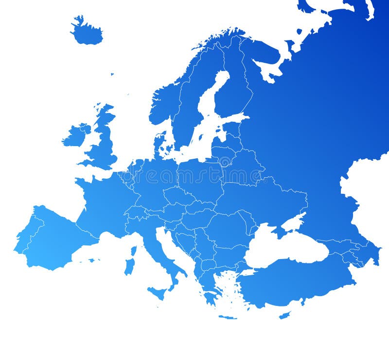
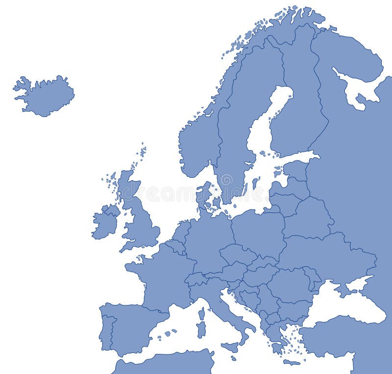
Free with trial Europe map, Vector map - size and color can be changed. Border europe map vectors Europe vector map. Europe map, Vector map - size and color can be changed.
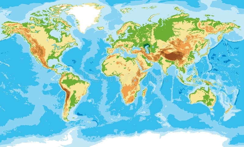
Free with trial Highly detailed physical map of the world,in vector format,with all the relief forms,countries and big cities. Border europe map vectors Physical map of the world
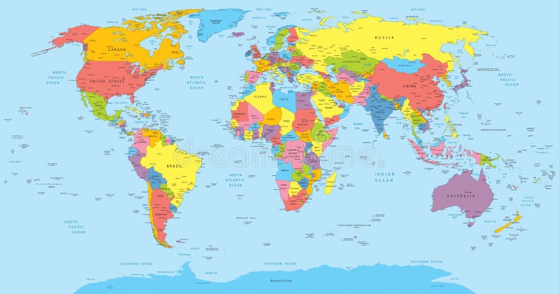
Free with trial Vector illustration of a High Detail Political Map of the world with different colors for each country. Each country has its capital and major cities. All seas and major lakes are named. Global colors used. All elements are separated in editable layers. Border europe map vectors World map with countries, country and city names. Vector illustration of a High Detail Political Map of the world with different colors for each country. Each country has its capital and major cities. All seas and major lakes are named. Global colors used. All elements are separated in editable layers.
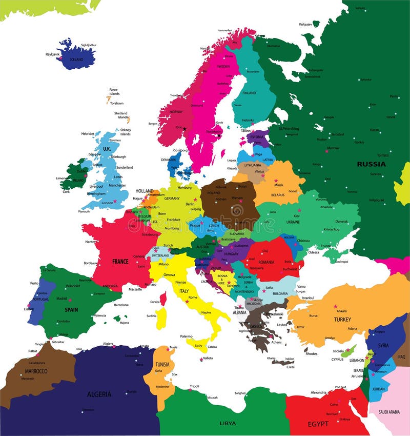
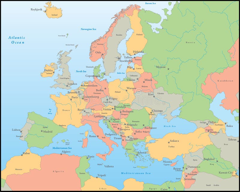
Free with trial Political map of Europe in vector with present states borders. Border europe map vectors Political map of Europe
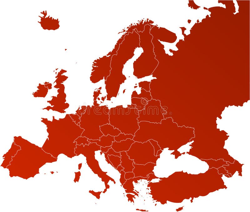
Free with trial Europe vector map with the designated borders and the signed countries. (. eps file - high resolution). Border europe map vectors Europe vector map
Free with trial Europe map, Vector map - size and color can be changed. Border europe map vectors Europe vector map. Europe map, Vector map - size and color can be changed.
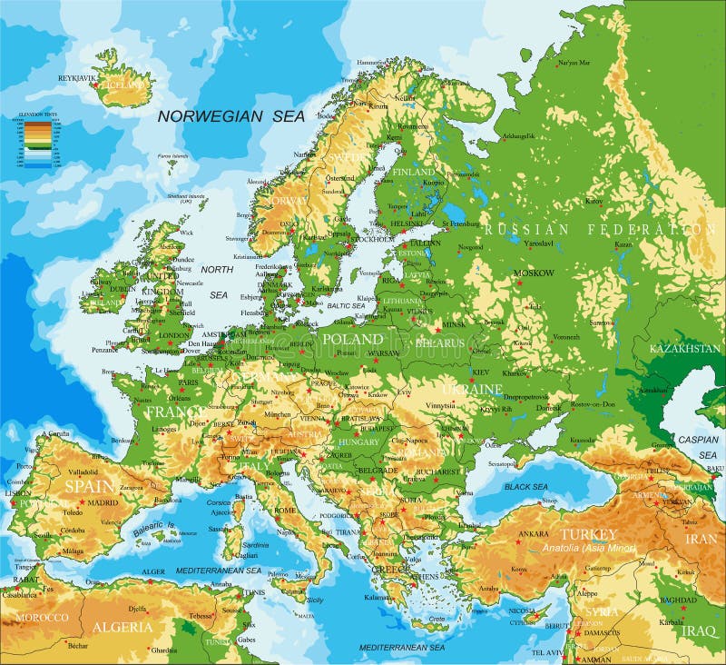
Free with trial Highly detailed physical map of Europe, in vector format, with all the relief forms, countries and big cities. Border europe map vectors Europe - physical map. Highly detailed physical map of Europe, in vector format, with all the relief forms, countries and big cities.
Free with trial Europe colour vector map with the signed countries. (. eps file - high resolution). Border europe map vectors Europe map. Europe colour vector map with the signed countries. (.eps file - high resolution)
Free with trial Europe map, Vector map - size and color can be changed. Border europe map vectors Europe vector map. Europe map, Vector map - size and color can be changed.
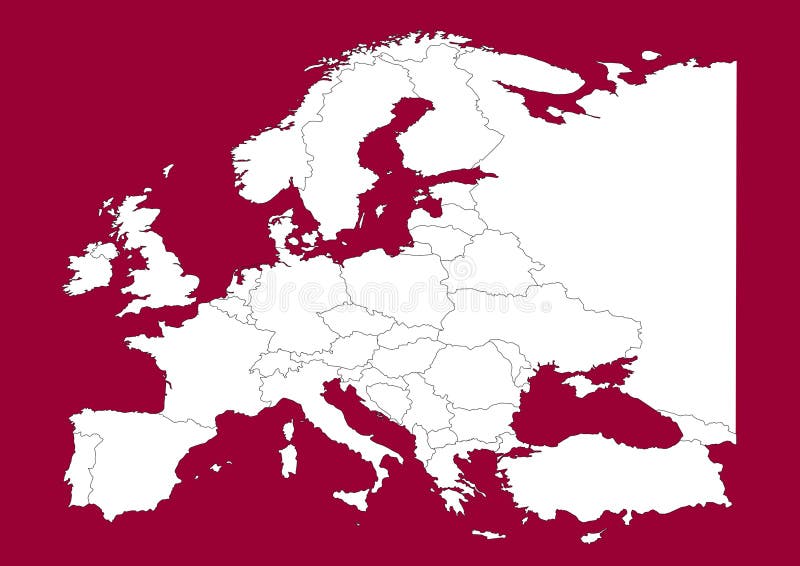
Free with trial This is a Europe map, Vector map - size and color can be changed for additional format! Great for your editorial article, news repport and other media!. Border europe map vectors Europe vectorial map on red. This is a Europe map, Vector map - size and color can be changed for additional format! Great for your editorial article, news repport and other media!
Free with trial High detaled vector map of Europe. Border europe map vectors Europe map. high detaled vector map of Europe
Free with trial Europe colour administrative vector map. Border europe map vectors Europe vector map. Europe colour administrative vector map
Free with trial Europe map, Vector map - size and color can be changed. Border europe map vectors Europe vector map. Europe map, Vector map - size and color can be changed.
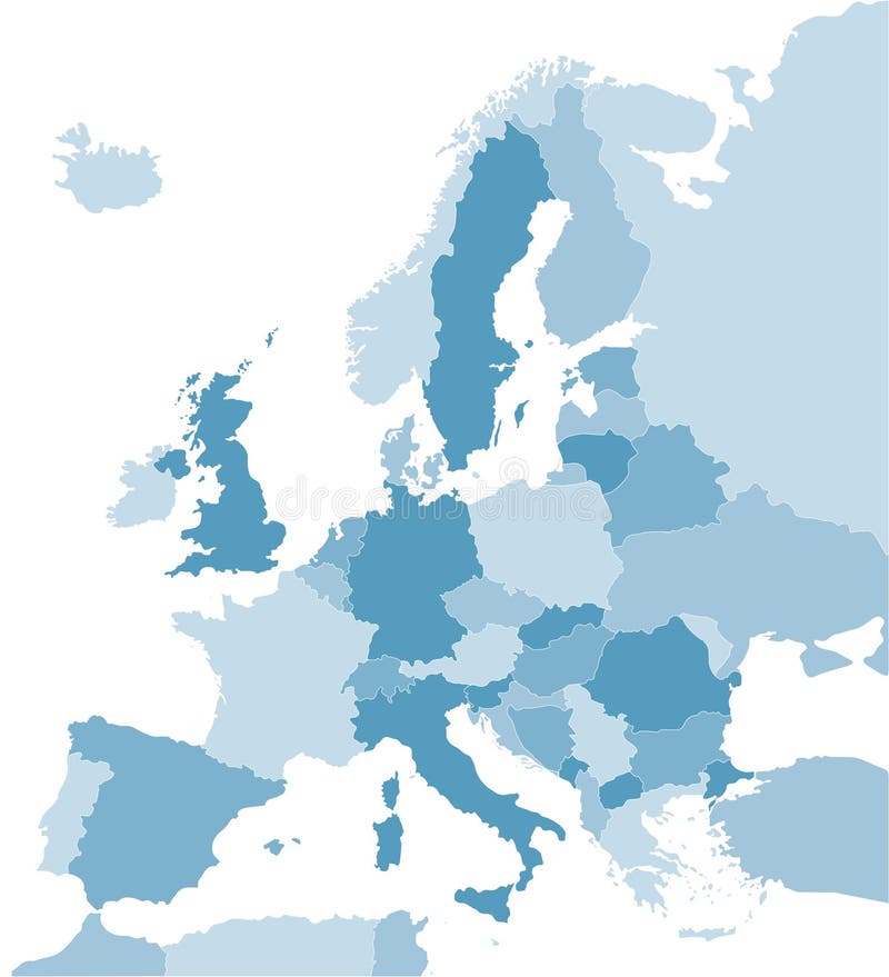
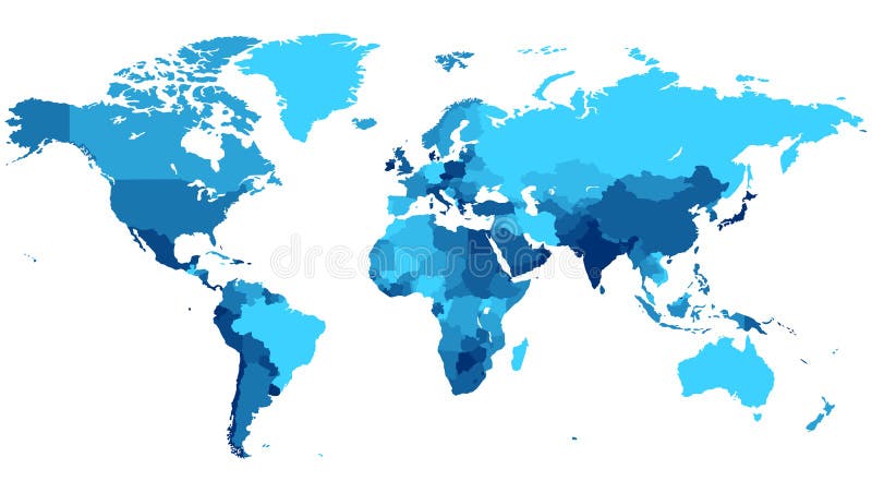
Free with trial Color coded map of the Europe. Border europe map vectors Map of Europe in blue. Color coded map of the Europe
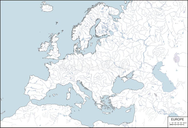
Free with trial Contour map of Europe with rivers and lakes. Border europe map vectors Europe - contour map, vector illustration. Contour map of Europe with rivers and lakes
Free with trial Illustration of map of Europe showing country borders. Border europe map illustrations Map of Europe
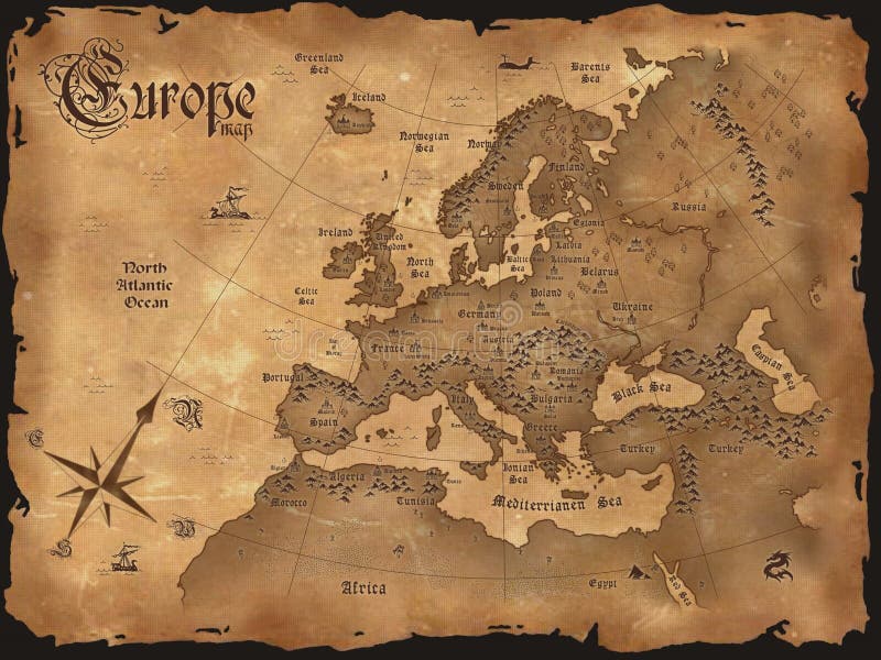
Free with trial Illustration of old grunge textured Europe map. Border europe map illustrations Old Europe map. Illustration of old grunge textured Europe map
Free with trial Political map of Europe in vector format, with all the major cities. Border europe map vectors Political map of Europe
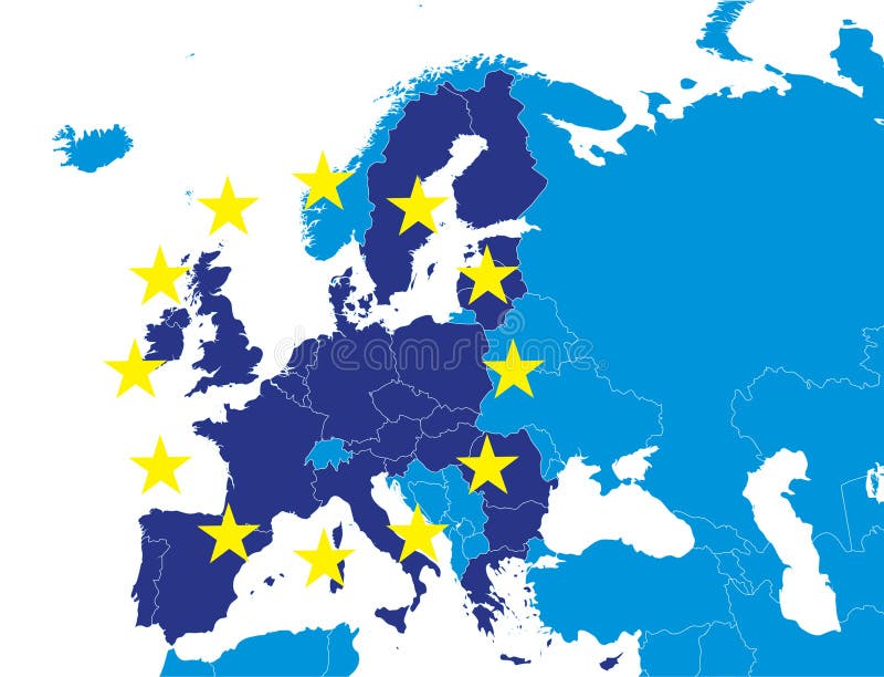
Free with trial European Union members on Europe map marked with different color. Border europe map vectors EU members on Europe map. European Union members on Europe map marked with different color.
Free with trial Illustration of vintage Europe map vertical. Border europe map illustrations Vintage Europe map vertical
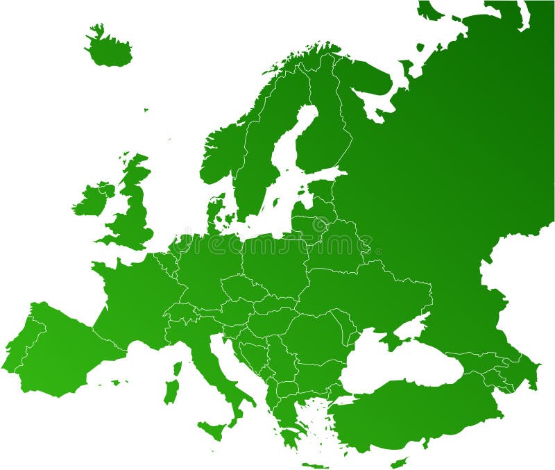
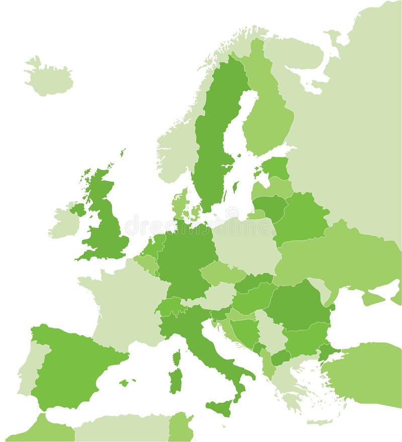
Free with trial Color coded map of the Europe. Border europe map vectors Map of Europe in green. Color coded map of the Europe
Free with trial Illustration of vintage Europe map horizontal. Border europe map illustrations Vintage Europe map horizontal
Free with trial Color coded map of the Europe. Border europe map vectors Map of Europe in orange. Color coded map of the Europe
Free with trial Europe Political Map and Roads. Detailed illustration of Europe Map. Border europe map vectors Europe Political Map and Roads
Free with trial Europe vector map with countries and capitals. Border europe map vectors Europe vector map
Free with trial Europe map, Vector map - size and color can be changed. Border europe map vectors Europe vector map. Europe map, Vector map - size and color can be changed.
Free with trial European Union vector map - blue Europe map isolated on white background - all countries are separated by stroke boundaries. Border europe map vectors Europe vector map. European Union vector map - blue Europe map isolated on white background - all countries are separated by stroke boundaries
Free with trial Vector illustrations of Europe map with grey countries and white borders. Border europe map vectors Grey Europe map Vector illustrations. Vector illustrations of Europe map with grey countries and white borders
Free with trial Europe political map separate states blue white card paper 3D template. Border europe map vectors Europe political map blue white card paper 3D. Europe political map separate states blue white card paper 3D template
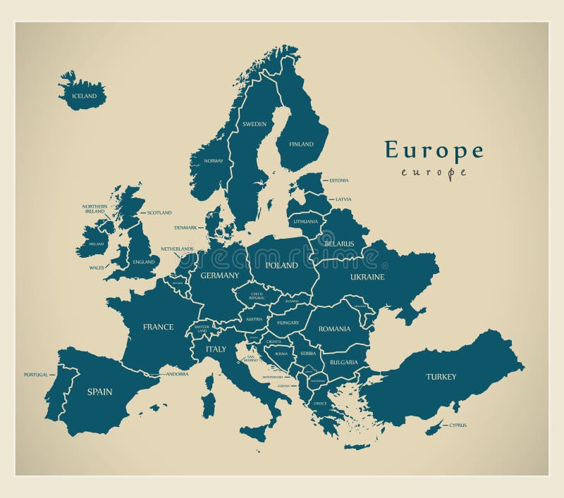
Free with trial Modern Map - Europe with countries and labels illustration. Border europe map vectors Modern Map - Europe with countries and labels
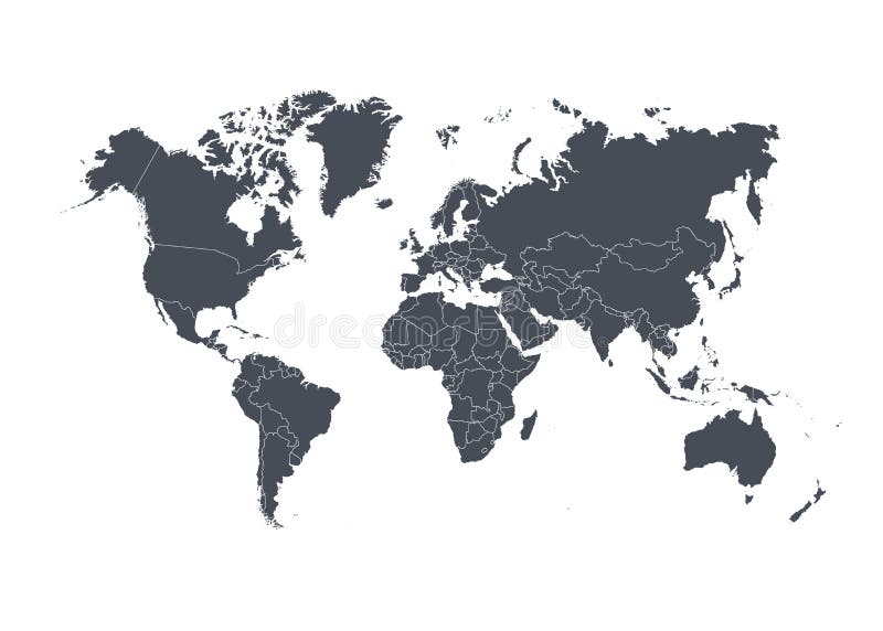
Free with trial Blank map of Europe. Simplified vector map in grey with white borders on white background. Border europe map vectors Blank map of Europe. Simplified vector map in grey with white borders on white background
Free with trial United Kingdom UK - Europe Countries Map Vector Icon Template Illustration Design. Editable Vector EPS 10. Border europe map vectors United Kingdom UK - Europe Countries Map Vector Icon Template Illustration Design. Vector EPS 10. United Kingdom UK - Europe Countries Map Vector Icon Template. United Kingdom UK - Europe Countries Map Vector Icon Template Illustration Design. Editable Vector EPS 10.
Free with trial 3d render of Europe map with countries flags. Border europe map illustrations Europe map
Free with trial Map of europe in illustration with blue colors and yellow stars. Border europe map illustrations Map of europe
Free with trial Political map of europe in blue. Border europe map vectors Eu-map. Political map of europe in blue
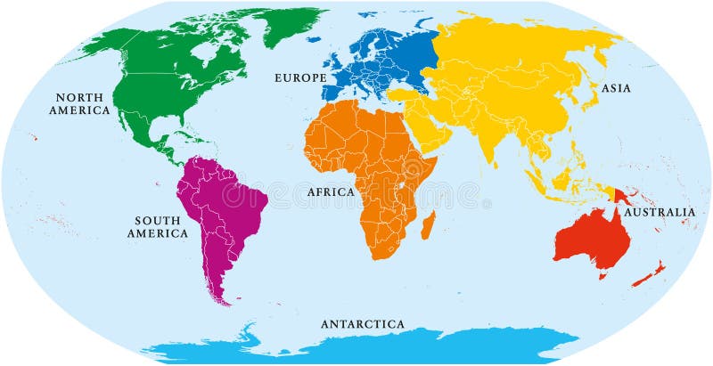
Free with trial Seven continents world map. Asia, Africa, North and South America, Antarctica, Europe and Australia. Detailed map with shorelines and national borders under Robinson projection on white background. Border europe map vectors Seven Continents World Map
Free with trial An illustrated view of the outline and borders of the countries of Europe. Border europe map vectors Map of Europe. An illustrated view of the outline and borders of the countries of Europe.
Free with trial Vector antique world map with countries boundaries. Antique world vintage map, grunge america and europe illustration. Border europe map vectors Vector antique world map with countries boundaries
Free with trial Great Detail Illustration of the world map in vintage style with all countries boundaries and names on a old parchment background. Border europe map vectors Old Vintage World Map. Great Detail Illustration of the world map in vintage style with all countries boundaries and names on a old parchment background.
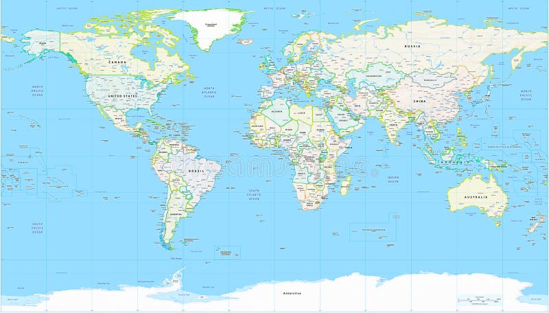
Free with trial Detailed Political World Map with all names of countries, cities and capitals, river, lake, oceans, seas, islands, South Pole and North Pole. Border europe map vectors World Map Detailed Political Map. Detailed Political World Map with all names of countries, cities and capitals, river, lake, oceans, seas, islands, South Pole and North Pole
Free with trial World map with countries isolated on white background. Vector illustration. Eps 10. Border europe map vectors World map with countries isolated on white background. Vector illustration.
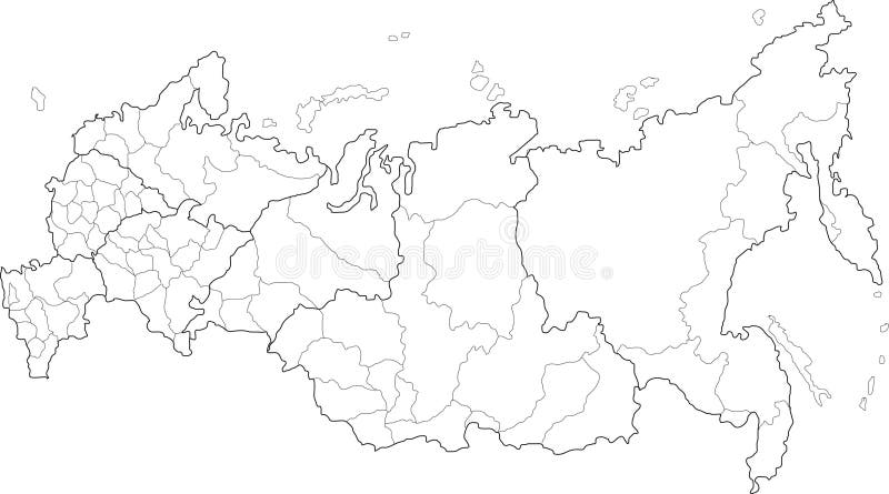
Free with trial Vector map of Russia on white background. The Russia map has borders of areas and regions. Border europe map vectors Russia map
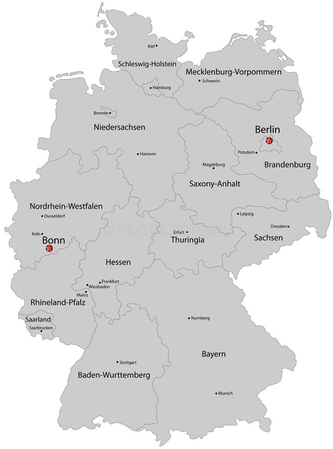
Free with trial Germany map designed in illustration with the regions colored in bright colors and with the main cities. Border europe map vectors Germany map
Free with trial Highly detailed physical map of the world,in vector format,with all the relief forms. Border europe map vectors Physical map of the world
Free with trial Detailed map of the World with countries in blue colors. Vector illustration. Border europe map vectors Blue World map with countries. Detailed map of the World with countries in blue colors. Vector illustration.
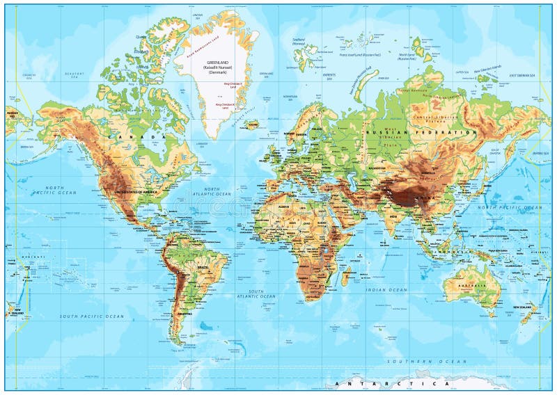
Free with trial Detailed Physical World Map with all names of countries, cities and capitals, river, lake, oceans, seas, islands, South Pole and North Pole. Border europe map vectors World Map Detailed Physical Map. Detailed Physical World Map with all names of countries, cities and capitals, river, lake, oceans, seas, islands, South Pole and North Pole
Free with trial Top quality vectorial world map with boundaries of all states. Border europe map vectors Detailed world map and borders. Top quality vectorial world map with boundaries of all states
Free with trial Illustration of the map of Sicily with its main cities, rivers, mountains and archaeological sites. Border europe map vectors Sicily map. Illustration of the map of Sicily with its main cities, rivers, mountains and archaeological sites.
Free with trial World map technology style digital world with electronic systems, traveling anywhere in the world using the gadget, white border on a blue background. Border europe map vectors World map technology style
Free with trial Retro-styled map of the World with trees, volcanos, mountains and fantasy monsters. Vector illustration. Border europe map vectors Colorful ancient World map. Retro-styled map of the World with trees, volcanos, mountains and fantasy monsters. Vector illustration.
Free with trial Illustration of a detailed political map of New Zealand. Border europe map vectors New Zealand map. Illustration of a detailed political map of New Zealand.
Free with trial Great Detail Illustration of the world map in vintage style with all countries boundaries and names on a old parchment background. Border europe map vectors Vintage Illustrated World Map. Great Detail Illustration of the world map in vintage style with all countries boundaries and names on a old parchment background.
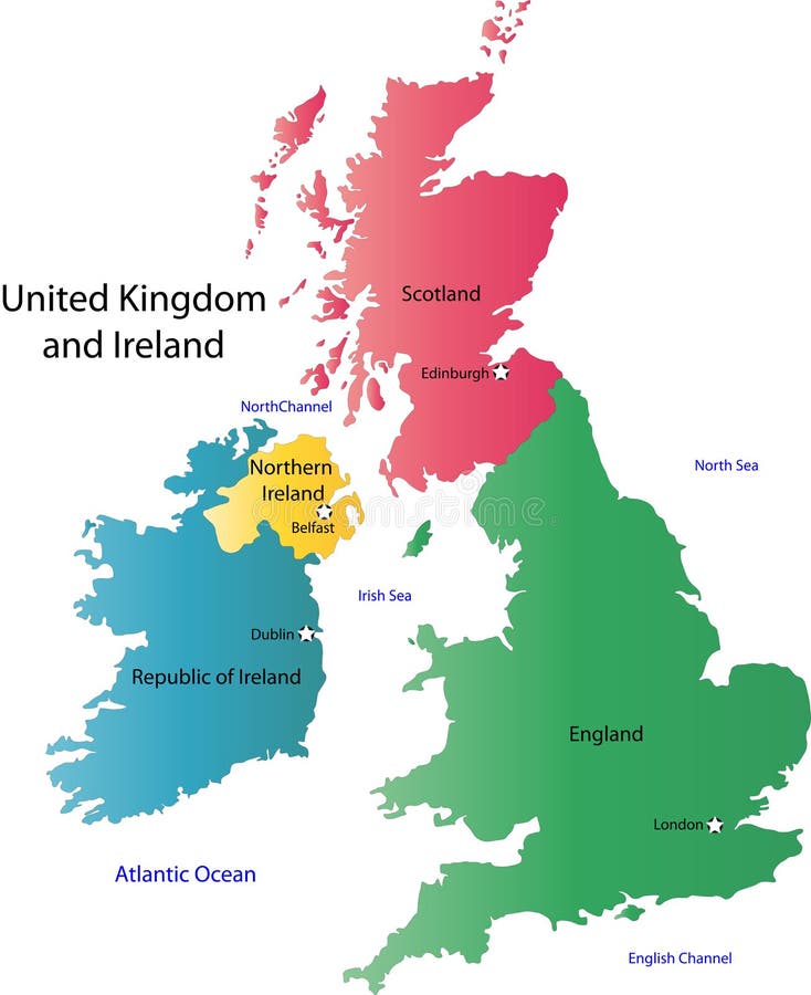
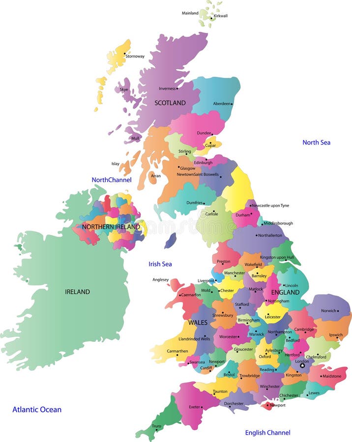
Free with trial Uk and ireland map designed in illustration with the regions on the continent colored in bright colors and the main cities. Border europe map vectors UK and Ireland map
Free with trial A map of the UK with the regions on the continent colored in bright colors and the main cities. Continent isolated on a white background. Border europe map vectors UK and Ireland map. A map of the UK with the regions on the continent colored in bright colors and the main cities. Continent isolated on a white background.
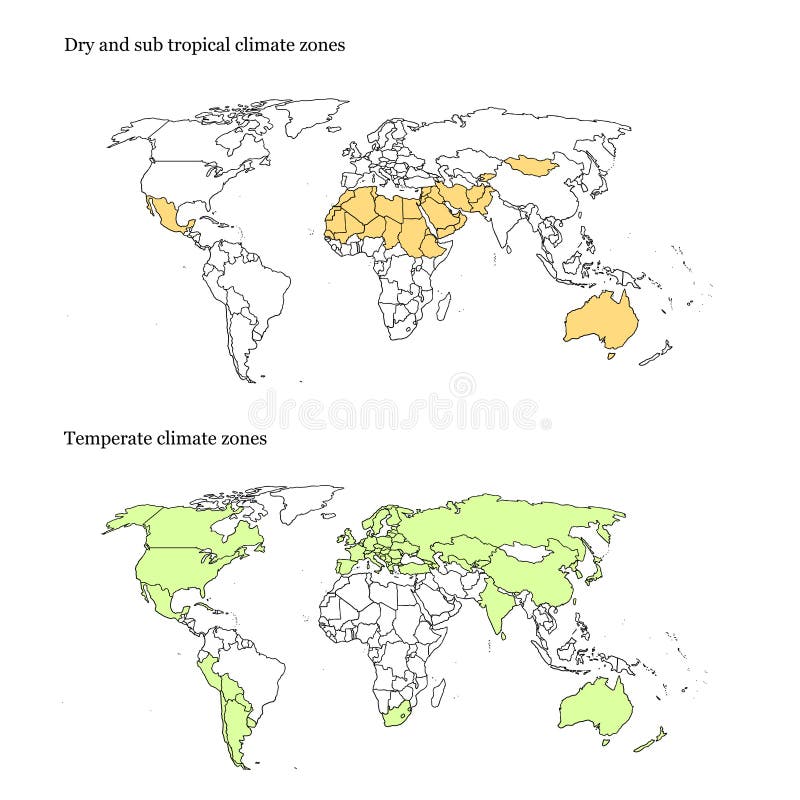
Free with trial Vectorial and high resolution detailed map of the temperate and dry climates of the world. Border europe map vectors World climate zones map. Vectorial and high resolution detailed map of the temperate and dry climates of the world
Free with trial Ancient geographic map of the world with names of the countries. Border europe map illustrations Ancient world map. Ancient geographic map of the world with names of the countries
Free with trial Highly detailed map of Italy with all different regions selectable individual. Border europe map vectors Political map of Italy. Highly detailed map of Italy with all different regions selectable individual.
Free with trial Germany map designed in illustration with the regions colored in grey colors and with the main cities. Neighbouring countries are in an additional format (. AI) in the latent layer. Border europe map vectors Map of Germany. Germany map designed in illustration with the regions colored in grey colors and with the main cities. Neighbouring countries are in an additional format (. AI) in the latent layer.
Free with trial Illustration - World map retro with colored texture grunge suitable for all uses for text or website use as banner. Border europe map illustrations Retro world map. Illustration - World map retro with colored texture grunge suitable for all uses for text or website use as banner
Free with trial Blind map of Germany with regions borders. Names of the regions, main cities, and neighbouring countries are in an additional format (. AI) in the latent layer. Border europe map vectors Blind map of Germany
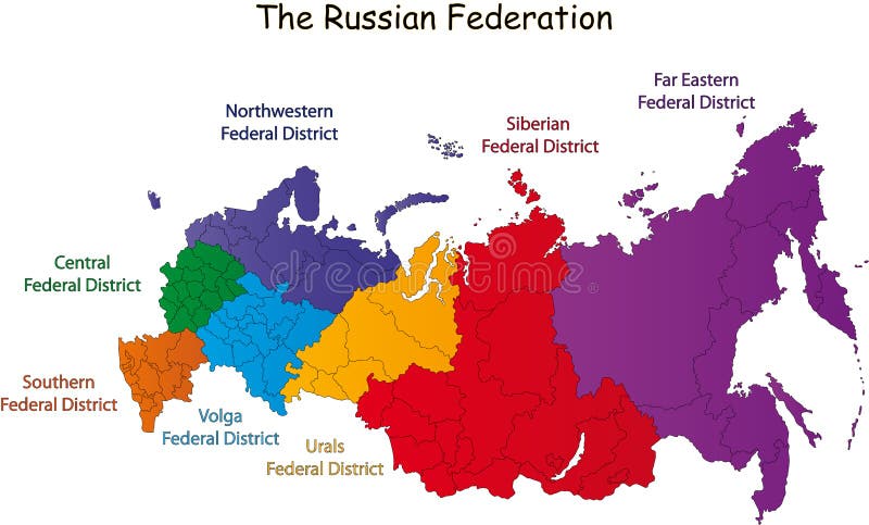
Free with trial Russian Federation designed in illustration with the federal district (Map is hight resolution). Border europe map vectors Russian Federation map. Russian Federation designed in illustration with the federal district (Map is hight resolution)
Free with trial Vintage world map. Ancient world antiquity paper map with continents ocean sea old sailing vector globe background. Border europe map vectors Vintage world map. Ancient world antiquity paper map with continents ocean sea old sailing vector globe background
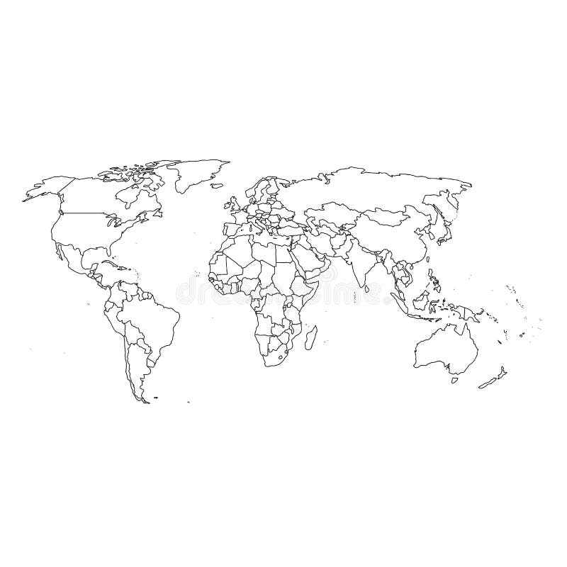
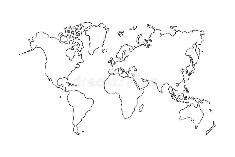
Free with trial Outline of world map on white background. Border europe map vectors Outline of world map on white background
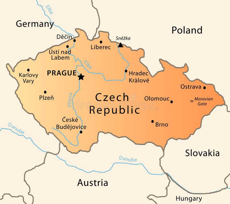
Free with trial Illustration of a detailed political map of Czech Republic. The X indicates the most important gate of the Moravian mountains. Border europe map vectors Czech Republic political map. Illustration of a detailed political map of Czech Republic. The X indicates the most important gate of the Moravian mountains.
Free with trial World map and blue world globes isolated on white. Border europe map illustrations World map
Free with trial Highly detailed physical map of Italy, in vector format, with all the relief forms, states and big cities. Border europe map vectors Italy relief map. Highly detailed physical map of Italy, in vector format, with all the relief forms, states and big cities.
Free with trial Relief Of Europe isolated on white background. Border europe map vectors Relief Of Europe
Free with trial A map of the UK with postcode areas identified and coloured, created within Adobe Illustrator CS2 and can be edited. Continent placed on a white background. Border europe map vectors Postcode Map of UK. A map of the UK with postcode areas identified and coloured, created within Adobe Illustrator CS2 and can be edited. Continent placed on a white background.
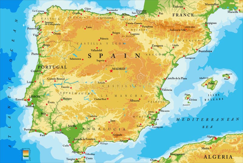
Free with trial Highly detailed physical map of Spain,in vector format,with all the relief forms,regions and big cities. Border europe map vectors Spain physical map. Highly detailed physical map of Spain,in vector format,with all the relief forms,regions and big cities.
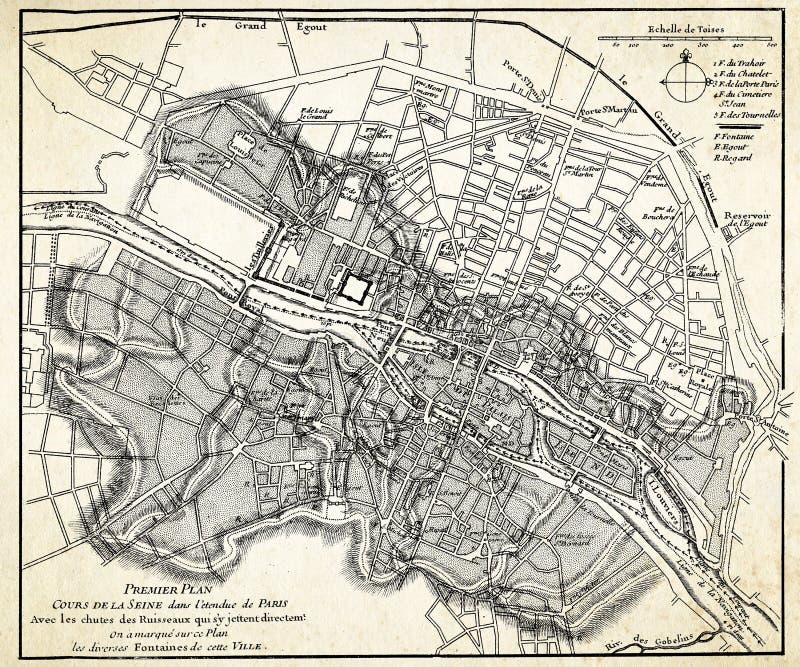
Free with trial Ancient map (1746) of Paris. Border europe map illustrations Ancient map of Paris. Ancient map (1746) of Paris
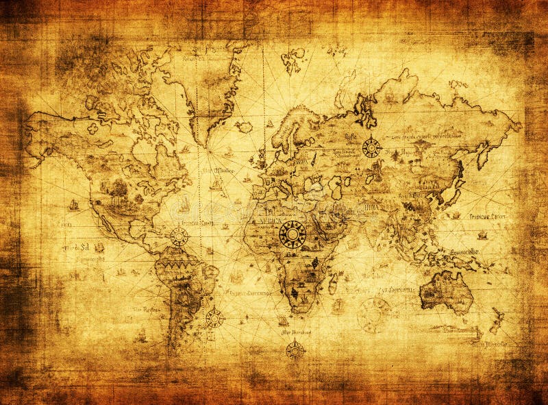
Free with trial Ancient map of the world on vintage paper. Border europe map illustrations Ancient map of the world
Free with trial Detailed Physical World Map with labeling. Vector illustration. Border europe map vectors Detailed Physical World Map
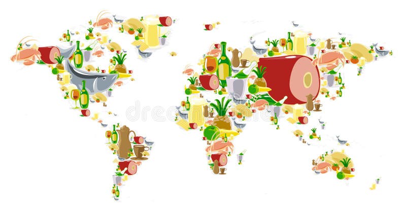
Free with trial World map of food and drinks. Vector illustration concept. Border europe map vectors World map with food and drinks. World map of food and drinks. Vector illustration concept.
Free with trial Map of European Countries in blue and grey tones. Border europe map vectors Map of European Countries
Free with trial World map and dark blue world globes isolated on white. Border europe map illustrations World map