Free with trial Europe vector high detailed political map with regions borders. All elements separated in detachable layers. Bosnia regions vectors Europe vector high detailed political map with regions borders. All elements separated in detachable layers
Free with trial Highly detailed vector map of Croatia with administrative regions,main cities and roads. Bosnia regions vectors Croatia map. Highly detailed vector map of Croatia with administrative regions,main cities and roads.
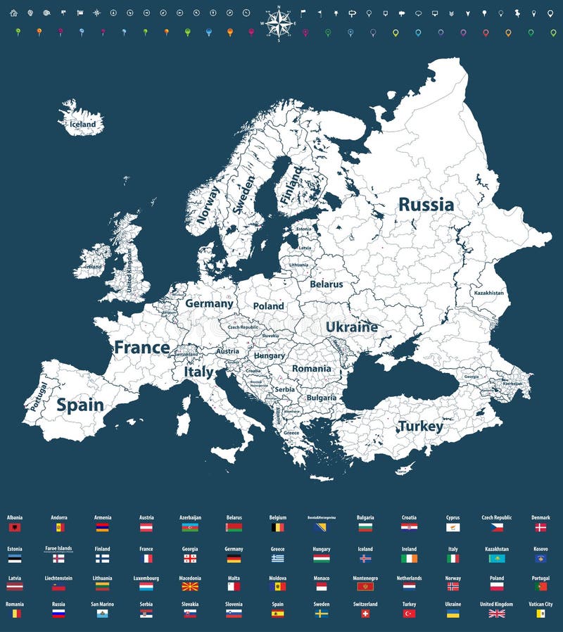
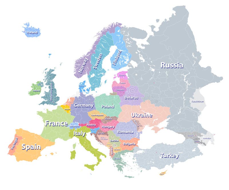
Free with trial Europe vector political map with regions borders and all european flags. Bosnia regions vectors Europe vector high detailed political map with regions borders and all european flags. Europe vector political map with regions borders and all european flags
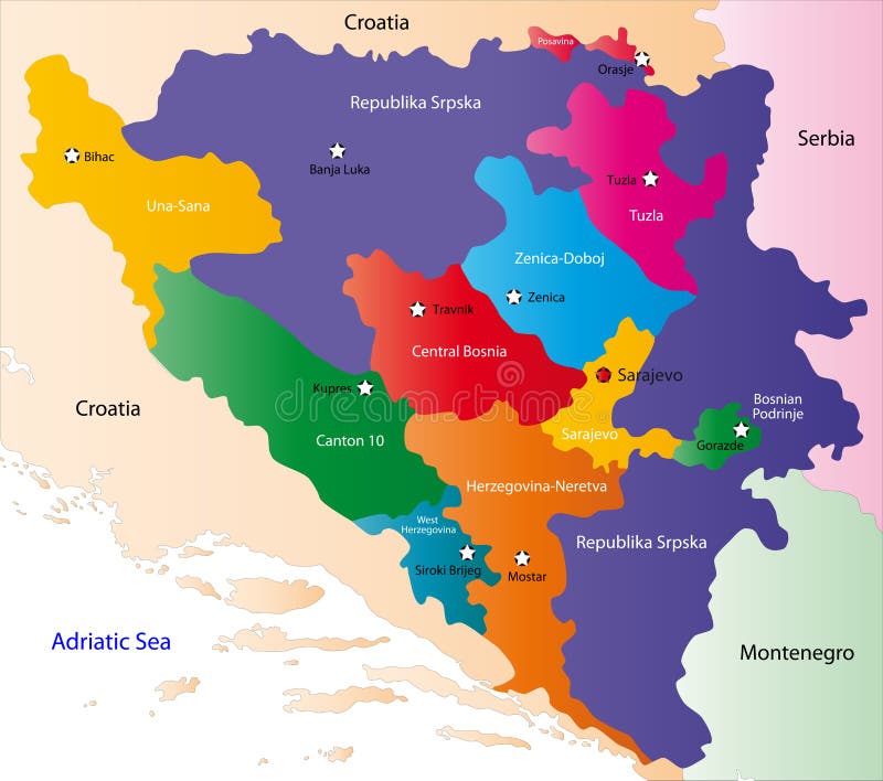
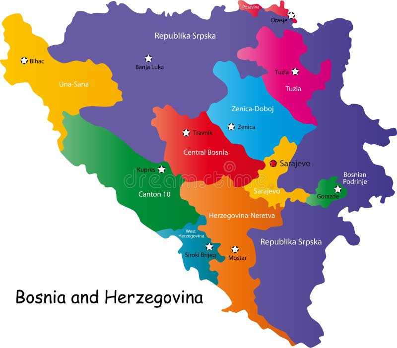
Free with trial Bosnia and Herzegovina map designed in illustration with regions colored in bright colors. Vector illustration. Bosnia regions vectors Bosnia and Herzegovina map
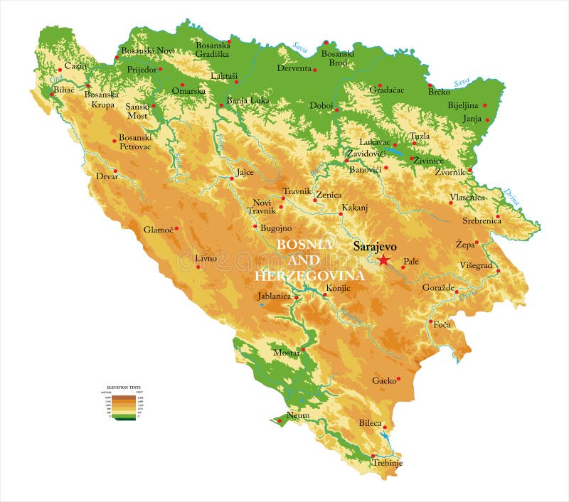
Free with trial Highly detailed physical map of the Bosnia and Herzegovina,in vector format,with all the relief forms,regions and big cities. Bosnia regions vectors Bosnia and Herzegovina physical map. Highly detailed physical map of the Bosnia and Herzegovina,in vector format,with all the relief forms,regions and big cities
Free with trial Bosnia and Herzegovina map with labeled regions, isolated on white background. Bosnia regions vectors Bosnia and Herzegovina map
Free with trial Colorful map of Bosnia and Herzegovina showing different regions, white background. Bosnia regions vectors Bosnia and Herzegovina map. Colorful map of Bosnia and Herzegovina showing different regions, white background.
Free with trial Bosnia and Herzegovina map with labelled border regions, white background. Bosnia regions vectors Bosnia and Herzegovina map
Free with trial Bosnia and Herzegovina map showing regions in different colors, white background. Bosnia regions vectors Bosnia and Herzegovina map
Free with trial Highly detailed vector map of Bosnia & Herzegovina with administrative regions, main cities and roads. Bosnia regions vectors Bosnia & Herzegovina map. Highly detailed vector map of Bosnia & Herzegovina with administrative regions, main cities and roads.
Free with trial Europe vector high detailed colourful political map with regions borders and countries names. All elements separated in detachable layers. Bosnia regions vectors Europe vector high detailed colourful political map with regions borders and countries names
Free with trial Vector map of montenegrin wine regions, Montenegro. Bosnia regions vectors Vector map of montenegrin wine regions, Montenegro
Free with trial Blank map Bosnia and Herzegovina. Districts of Bosnia and Herzegovina map. High detailed vector map on transparent background for your web site design, app, UI. EPS10. Bosnia regions vectors Blank map Bosnia and Herzegovina. Districts of Bosnia and Herzegovina map. High detailed vector map on transparent background for. Blank map Bosnia and Herzegovina. Districts of Bosnia and Herzegovina map. High detailed vector map on transparent background for your web site design, app, UI. EPS10
Free with trial Vector of Bosnia and Herzegovina set with detailed country shape with region borders, flags and icons. Bosnia regions vectors Map of Bosnia and Herzegovina. Vector of Bosnia and Herzegovina set with detailed country shape with region borders, flags and icons
Free with trial Europe vector political map with regions borders and countries names. All elements separated in detachable layers. Bosnia regions vectors Europe vector high detailed political map with regions borders and countries names. All elements separated in detac. Europe vector political map with regions borders and countries names. All elements separated in detachable layers
Free with trial Europe vector high detailed political map in grey scales with regions borders and countries names. All elements separated in detachable layers. Bosnia regions vectors Europe vector high detailed political map with regions borders and countries names. All elements separated in detac. Europe vector high detailed political map in grey scales with regions borders and countries names. All elements separated in detachable layers
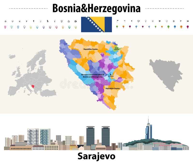
Free with trial Vector map of Bosnia and Herzegovina municipalities. Sarajevo cityscape. Flag of Bosnia and Herzegovina. Bosnia regions vectors Vector map of Bosnia and Herzegovina municipalities. Sarajevo cityscape. Flag of Bosnia and Herzegovina
Free with trial Globe location countries Bolivia, Bosnia and Herzegovina,Bostswana,Brazil. Bosnia regions illustrations Location Bolivia, Bosnia and Herzegovina,Bostswana,Brazil. Globe location countries Bolivia, Bosnia and Herzegovina,Bostswana,Brazil
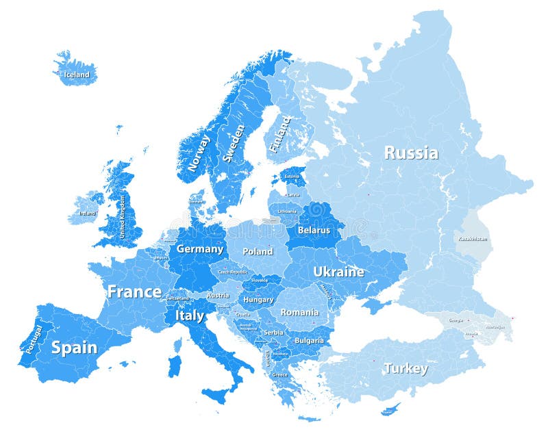
Free with trial Europe vector high detailed political map with regions borders. All elements separated in detachable layers. Bosnia regions vectors Europe vector high detailed political map with regions borders in tints of blue with countries names. Europe vector high detailed political map with regions borders. All elements separated in detachable layers
Free with trial High quality map Europe with borders of the regions. Vector illustration. Bosnia regions vectors High quality map Europe with borders of the regions
Free with trial Highly detailed vector map of Slovenia with administrative regions, main cities and roads. Bosnia regions vectors Slovenia map. Highly detailed vector map of Slovenia with administrative regions, main cities and roads.
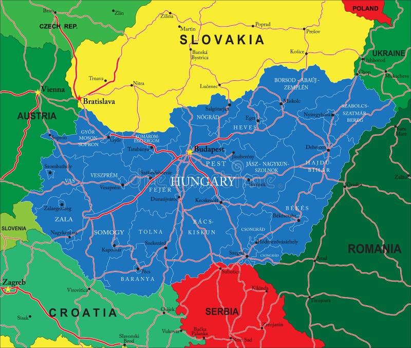
Free with trial Highly detailed vector map of Hungary with administrative regions, main cities and roads. Bosnia regions vectors Hungary map. Highly detailed vector map of Hungary with administrative regions, main cities and roads.
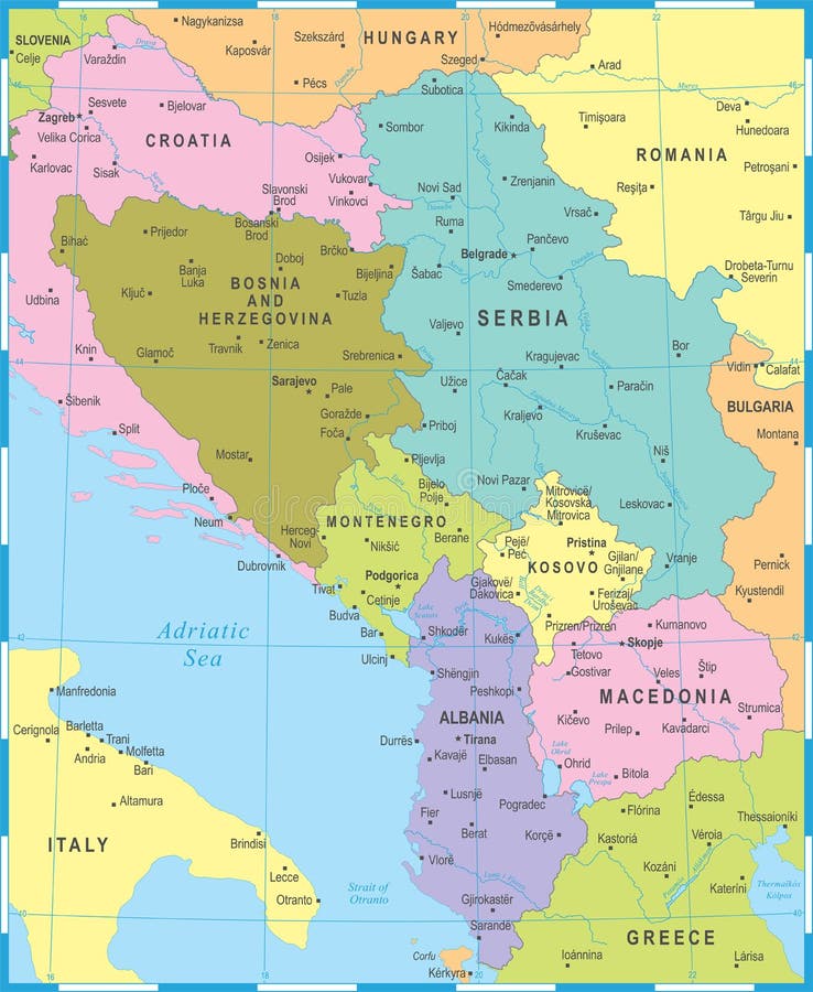
Free with trial Central Balkan Map - Detailed Vector Illustration. Bosnia regions illustrations Central Balkan Map - Vector Illustration. Central Balkan Map - Detailed Vector Illustration
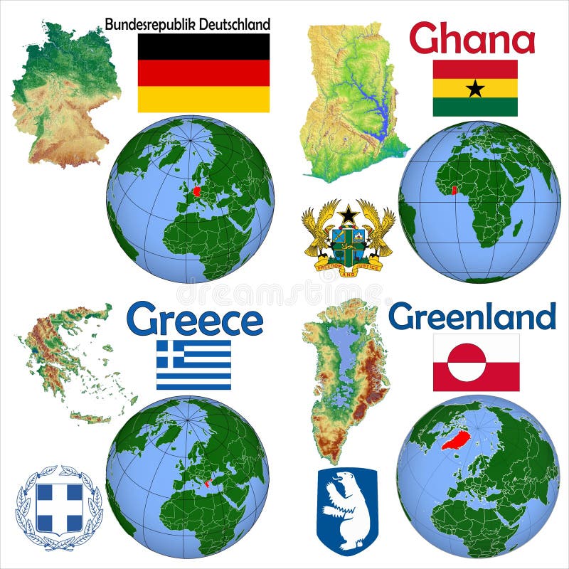
Free with trial Globe location countries Germany, Ghana, Greece, Greenland. Bosnia regions illustrations Location Germany, Ghana, Greece, Greenland. Globe location countries Germany, Ghana, Greece, Greenland
Free with trial Globe location countries New Zealand,Nicaragua,Niger,Nigeria. Bosnia regions illustrations Location New Zealand,Nicaragua,Niger,Nigeria. Globe location countries New Zealand,Nicaragua,Niger,Nigeria
Free with trial Globe location countries Israel,Italy,Jamaica,Japan. Bosnia regions illustrations Location Israel,Italy,Jamaica,Japan. Globe location countries Israel,Italy,Jamaica,Japan
Free with trial Globe location countries Argentina,Armenia,Australia,Austria. Bosnia regions illustrations Location Argentina,Armenia,Australia,Austria. Globe location countries Argentina,Armenia,Australia,Austria
Free with trial Globe location countries Guatemala,Guinea Bissau,Guinea,Haiti. Bosnia regions illustrations Location Guatemala,Guinea Bissau,Guinea,Haiti. Globe location countries Guatemala,Guinea Bissau,Guinea,Haiti
Free with trial Globe location countries Democratic Republic Congo,Denmark,Ecuador,Egypt. Bosnia regions illustrations Location Democratic Republic Congo,Denmark,Ecuador,Egypt. Globe location countries Democratic Republic Congo,Denmark,Ecuador,Egypt
Free with trial Globe location countries Madagascar,Malawi,Mali,Mauritania. Bosnia regions illustrations Location Madagascar,Malawi,Mali,Mauritania. Globe location countries Madagascar,Malawi,Mali,Mauritania
Free with trial Globe location countries El Salvador,Eritrea,Estonia,Ethiopia. Bosnia regions illustrations Location El Salvador,Eritrea,Estonia,Ethiopia. Globe location countries El Salvador,Eritrea,Estonia,Ethiopia
Free with trial Globe location countries Ivory Coast,Croatia,Cuba,Czech Republic. Bosnia regions illustrations Location Ivory Coast,Croatia,Cuba,Czech Republic. Globe location countries Ivory Coast,Croatia,Cuba,Czech Republic
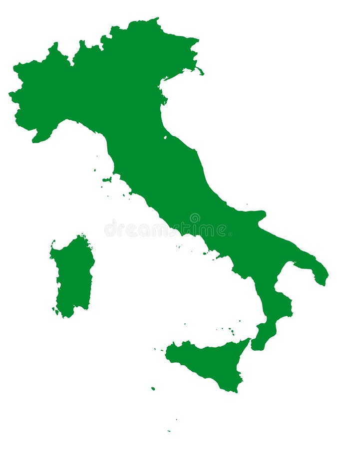
Free with trial Vector Illustration of the Green Map of European Country of Italy. Bosnia regions vectors Green Map of European Country of Italy
Free with trial Vector Illustration of the Green Map of European Country of Denmark. Bosnia regions vectors Green Map of European Country of Denmark
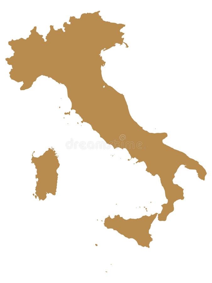
Free with trial Vector Illustration of the Brown Map of European Country of Italy. Bosnia regions vectors Brown Map of European Country of Italy
Free with trial Vector Illustration of the Red Map of European Country of Romania. Bosnia regions vectors Red Map of European Country of Romania
Free with trial Vector Illustration of the Red Map of European Country of England. Bosnia regions vectors Red Map of European Country of England
Free with trial Vector Illustration of the Green Map of European Country of France. Bosnia regions vectors Green Map of European Country of France
Free with trial Vector Illustration of the Green Map of European Country of Slovakia. Bosnia regions vectors Green Map of European Country of Slovakia
Free with trial Set Coat of arms of the countries of Europe, All European regions emblem collection. Bosnia regions vectors Set Coat of arms of the countries of Europe
Free with trial Vector Illustration of the Green Map of European Country of Hungary. Bosnia regions vectors Green Map of European Country of Hungary
Free with trial Vector Illustration of the Orange Map of European Country of Turkey. Bosnia regions vectors Orange Map of European Country of Turkey
Free with trial Vector Illustration of the Purple Map of European Country of UK. Bosnia regions vectors Purple Map of European Country of UK
Free with trial Vector Illustration of the Green Map of European Country of Netherlands. Bosnia regions vectors Green Map of European Country of Netherlands
Free with trial Vector Illustration of the Red Map of European Country of Moldova. Bosnia regions vectors Red Map of European Country of Moldova
Free with trial Vector Illustration of the Red Map of European Country of Austria. Bosnia regions vectors Red Map of European Country of Austria
Free with trial Vector Illustration of the Green Map of European Country of Germany. Bosnia regions vectors Green Map of European Country of Germany
Free with trial Vector Illustration of the Red Map of European Country of Switzerland. Bosnia regions vectors Red Map of European Country of Switzerland
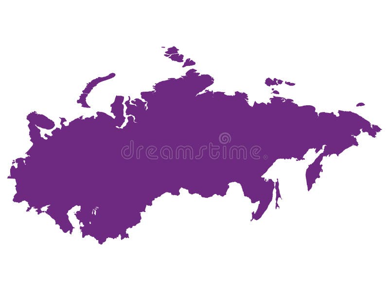
Free with trial Vector Illustration of the Purple Map of Former European Country of Soviet Union USSR. Bosnia regions vectors Purple Map of Former European Country of Soviet Union USSR
Free with trial Vector illustrated blank map of Bosnia and Herzegovina with entities, cantons, regions and administrative divisions, and neighbouring countries and territories. Editable and clearly labeled layers. Bosnia regions vectors Vector illustrated blank map of Bosnia and Herzegovina with entities, cantons, regions and administrative divisions
Free with trial Vector map of Bosnia and Herzegovina with entities, cantons, regions and administrative divisions, and neighbouring countries and territories. Editable and clearly labeled layers. Bosnia regions vectors Vector map of Bosnia and Herzegovina with entities, cantons, regions and administrative divisions, and neighbouring countries
Free with trial Vector illustrated map of Bosnia and Herzegovina with entities, cantons, regions and administrative divisions, and neighbouring countries and territories. Editable and clearly labeled layers. Bosnia regions vectors Vector illustrated map of Bosnia and Herzegovina with entities, cantons, regions and administrative divisions. Vector illustrated map of Bosnia and Herzegovina with entities, cantons, regions and administrative divisions, and neighbouring countries and territories. Editable and clearly labeled layers
Free with trial Vintage Map Of Bosnia And Herzegovina With Administrative Regions On Retro Paper. Background. Bosnia regions illustrations Vintage Map Of Bosnia And Herzegovina With Administrative Regions On Retro Paper. Background
Free with trial Vector map of Bosnia and Herzegovina with entities, cantons, regions and administrative divisions. Editable and clearly labeled layers. Bosnia regions vectors Vector map of Bosnia and Herzegovina with entities, cantons, regions and administrative divisions.
Free with trial Vector map of Bosnia and Herzegovina with entities, cantons, regions and administrative divisions. Editable and clearly labeled layers. Bosnia regions vectors Vector map of Bosnia and Herzegovina with entities, cantons, regions and administrative divisions.
Free with trial Vector blank map of Bosnia and Herzegovina with entities, cantons, regions and administrative divisions. Editable and clearly labeled layers. Bosnia regions vectors Vector blank map of Bosnia and Herzegovina with entities, cantons, regions and administrative divisions.
Free with trial Vector blank map of Bosnia and Herzegovina with entities, cantons, regions and administrative divisions. Editable and clearly labeled layers. Bosnia regions vectors Vector blank map of Bosnia and Herzegovina with entities, cantons, regions and administrative divisions.
Free with trial Vector blank map of Bosnia and Herzegovina with entities, cantons, regions and administrative divisions, and neighbouring countries and territories. Editable and clearly labeled layers. Bosnia regions vectors Vector blank map of Bosnia and Herzegovina with entities, cantons, regions and administrative divisions. Vector blank map of Bosnia and Herzegovina with entities, cantons, regions and administrative divisions, and neighbouring countries and territories. Editable and clearly labeled layers
Free with trial 3d Bosnia white map with regions isolated on white background. Bosnia regions illustrations 3d Bosnia white map with regions isolated
Free with trial Bosnia and Herzegovina - detailed map of the country in brown colors, divided into regions. Vector illustration. Bosnia regions illustrations Bosnia and Herzegovina - detailed map of the country in brown colors, divided into regions
Free with trial Bosnia and Herzegovina - detailed country map with cities and regions. Infographic icons. Vector illustration. Bosnia regions illustrations Bosnia and Herzegovina - detailed country map with cities and regions. Infographic icons
Free with trial Detailed vector map Bosnia Herzegovina divided on regions isolated in the background. Template Europe country for pattern, infographic design illustration. Creative concept of administrative divisions. Bosnia regions illustrations Creative map Bosnia Herzegovina divided on regions. Detailed vector map Bosnia Herzegovina divided on regions isolated in the background. Template Europe country for pattern, infographic design illustration. Creative concept of administrative divisions
Free with trial Detailed vector map Bosnia Herzegovina divided on regions isolated on background. Template Europe country for pattern infographic design illustration. Outline concept of administrative divisions state. Bosnia regions vectors Vector map Bosnia Herzegovina divided on regions
Free with trial A stylized map of Bosnia and Herzegovina, divided into administrative regions. Some regions are colored green, while others are blue, against a clean white background. This graphic is ideal for illustrating geopolitical divisions, administrative structures, or regional data within the country. It's a versatile visual for reports, presentations, and informational content related to Bosnia and Herzegovina. Bosnia regions illustrations Bosnia and Herzegovina Administrative Map with Regions Highlighted. A stylized map of Bosnia and Herzegovina, divided into administrative regions. Some regions are colored green, while others are blue, against a clean white background. This graphic is ideal for illustrating geopolitical divisions, administrative structures, or regional data within the country. It's a versatile visual for reports, presentations, and informational content related to Bosnia and Herzegovina.
Free with trial Detailed vector map Bosnia Herzegovina divided on regions isolated in the background. Template Europe country for pattern, infographic, design illustration. Concept outline of administrative divisions. Bosnia regions illustrations Vector map Bosnia Herzegovina divided on regions
Free with trial Abstract Map of Bosnia and Herzegovina and Surrounding Regions with Circular Patterns. Vibrant Abstract Map. Bosnia regions vectors Abstract Map of Bosnia and Herzegovina and Surrounding Regions with Circular Patterns
Free with trial Detailed vector map Bosnia Herzegovina divided on regions isolated in the background. Template Europe country for pattern, infographic, design illustration. Concept outline of administrative divisions. Bosnia regions vectors Vector map Bosnia Herzegovina divided on regions
Free with trial Detailed vector map Bosnia Herzegovina divided on regions isolated in the background. Template Europe country for pattern, infographic, design illustration. Concept outline of administrative divisions. Bosnia regions vectors Vector map Bosnia Herzegovina divided on regions
Free with trial This detailed map outlines the Una-Sana Canton within Bosnia and Herzegovina, highlighting its geographical location and precise boundaries. Ideal for academic research, educational purposes, and spatial planning, this map provides a clear visualization of the canton's borders in relation to surrounding regions. The meticulously drawn outline allows for a comprehensive understanding of the. Bosnia regions illustrations Detailed Outline Map of UnaSana Canton Bosnia and Herzegovina Geographic Location and Boundaries for Study and Planning. This detailed map outlines the Una-Sana Canton within Bosnia and Herzegovina, highlighting its geographical location and precise boundaries. Ideal for academic research, educational purposes, and spatial planning, this map provides a clear visualization of the canton's borders in relation to surrounding regions. The meticulously drawn outline allows for a comprehensive understanding of the
Free with trial Nestled within the captivating cityscape of Sarajevo, Bosnia and Herzegovina, this striking yellow and green apartment building stands out as a testament to the region's unique architectural character. The vibrant hues, a common thread in the city's urban fabric, create a captivating visual narrative. The building's design seamlessly integrates with the surrounding structures, showcasing a blend. Bosnia regions illustrations Colorful Apartment Building in Sarajevo Bosnia A Vibrant Showcase of Urban Architecture in the Picturesque Cityscape of. Nestled within the captivating cityscape of Sarajevo, Bosnia and Herzegovina, this striking yellow and green apartment building stands out as a testament to the region's unique architectural character. The vibrant hues, a common thread in the city's urban fabric, create a captivating visual narrative. The building's design seamlessly integrates with the surrounding structures, showcasing a blend
Free with trial Vector map of Bosnia and Herzegovina with infographic elements: regions, cities, charts, icons. Blue color scheme, flat modern style. Ideal for reports, presentations, and educational use. Bosnia regions vectors Bosnia and Herzegovina Infographic Map with Data Visualization Elements - Vector Map of Bosnia and Herzegovina. Vector map of Bosnia and Herzegovina with infographic elements: regions, cities, charts, icons. Blue color scheme, flat modern style. Ideal for reports, presentations, and educational use
Free with trial Doodle Map Of Bosnia And Herzegovina With States, vector editable design, can be used for business or presentation design. Bosnia regions vectors Doodle Map Of Bosnia And Herzegovina With States
Free with trial A collection of labels shows the phrase Made in Bosnia and Herzegovina and Made in Serbia in different styles. These labels are designed for marking products from these regions. Bosnia regions vectors Made in Bosnia and Herzegovina label icons set for product marking in various designs and shapes. A collection of labels shows the phrase Made in Bosnia and Herzegovina and Made in Serbia in different styles. These labels are designed for marking products from these regions.
Free with trial A clean, vector graphic of the country of Bosnia and Herzegovina, presented in a neutral gray tone. The map clearly outlines the national borders and showcases its internal administrative divisions with thin white lines. The background is pure white, making the map the sole focus. This graphic is ideal for educational materials, travel guides, geopolitical presentations, or any project requiring a clear representation of Bosnia and Herzegovina's geography and administrative structure. Bosnia regions illustrations Bosnia and Herzegovina Map with Internal Divisions. A clean, vector graphic of the country of Bosnia and Herzegovina, presented in a neutral gray tone. The map clearly outlines the national borders and showcases its internal administrative divisions with thin white lines. The background is pure white, making the map the sole focus. This graphic is ideal for educational materials, travel guides, geopolitical presentations, or any project requiring a clear representation of Bosnia and Herzegovina's geography and administrative structure.
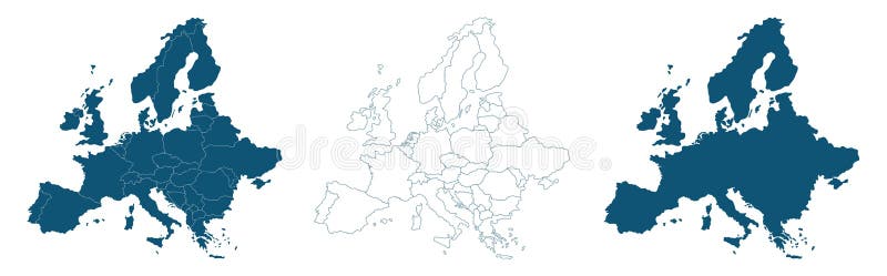
Free with trial Map shape collection transparent background country simple map of Europe European countries Slovakia Hungary Poland Croatia Bosnia Italy video. Bosnia regions vectors Map shape collection transparent background country simple map of Europe European countries Slovakia Hungary Poland Croatia Bosnia
Free with trial Bosnia And Herzegovina Detailed Map With States, vector editable design, can be used for business or presentation design. Bosnia regions vectors Bosnia And Herzegovina Detailed Map With States
Free with trial States Map Of Bosnia And Herzegovina With Detailed Borders, vector editable design, can be used for business or presentation design. Bosnia regions vectors States Map Of Bosnia And Herzegovina With Detailed Borders