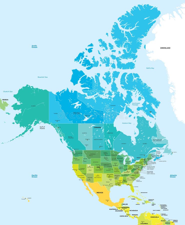
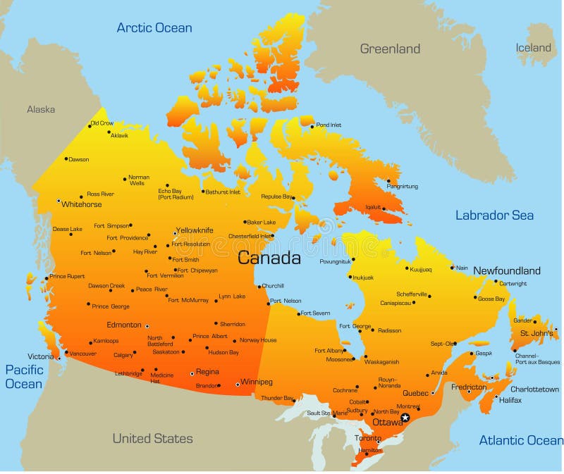
Free with trial Canada map designed in illustration with states colored in bright colors and with the main cities. On an illustration neighbouring countries are shown too. Canada color map vectors Canada color map. Canada map designed in illustration with states colored in bright colors and with the main cities. On an illustration neighbouring countries are shown too
Free with trial Historical map of Canada. Photo from atlas published in 1879 in Great Britain. Canada color map illustrations Historical map of Canada
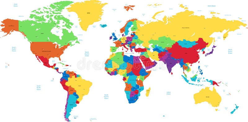
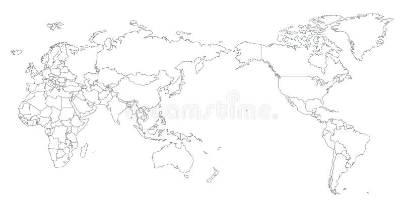
Free with trial Large detailed vintage color political World Map with lakes and rivers. Highly detailed vector illustration of World Map. Canada color map vectors Large detailed vintage color political World Map with lakes and
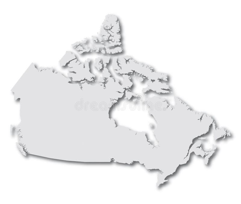
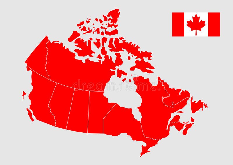
Free with trial Drawing of the map of Canada. Canada color map vectors Map Canada (vector). Drawing of the map of Canada
Free with trial World Map Color Detailed - Asia in Center. Canada color map vectors Asia Center World Map Color. World Map Color Detailed - Asia in Center
Free with trial World Map Vintage Color Pacific Centred. Detailed Vector Illustration of Pacific Centered Political World Map Vintage Color. Canada color map vectors World Map Vintage Color Pacific Centred
Free with trial Canada vector map and flag, vector illustration. Canada color map vectors Canada vector map and flag
Free with trial A vector of Canada map with flag isolated on white. Canada color map vectors Canada Map with Flag
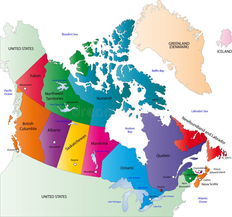
Free with trial A full color map of canada with province names called out. Canada color map vectors Canada 01. A full color map of canada with province names called out
Free with trial Color Political World Map Illustration. Canada color map vectors Colored World Map. Color Political World Map Illustration.
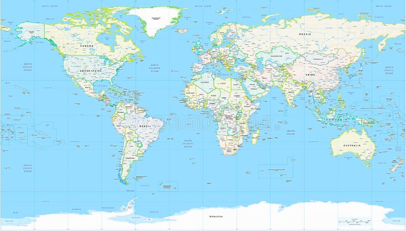
Free with trial Detailed Political World Map with all names of countries, cities and capitals, river, lake, oceans, seas, islands, South Pole and North Pole. Canada color map vectors World Map Detailed Political Map. Detailed Political World Map with all names of countries, cities and capitals, river, lake, oceans, seas, islands, South Pole and North Pole
Free with trial Detailed Political World map. Vector illustration. Canada color map vectors Detailed Political World map
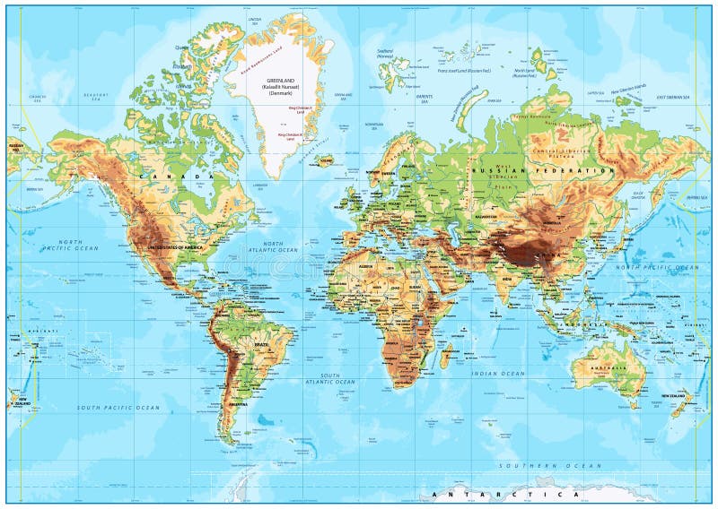
Free with trial Detailed Physical World Map with all names of countries, cities and capitals, river, lake, oceans, seas, islands, South Pole and North Pole. Canada color map vectors World Map Detailed Physical Map. Detailed Physical World Map with all names of countries, cities and capitals, river, lake, oceans, seas, islands, South Pole and North Pole
Free with trial Highly detailed political World map with labeling. Vector illustration. Canada color map vectors Highly detailed political World map with labeling
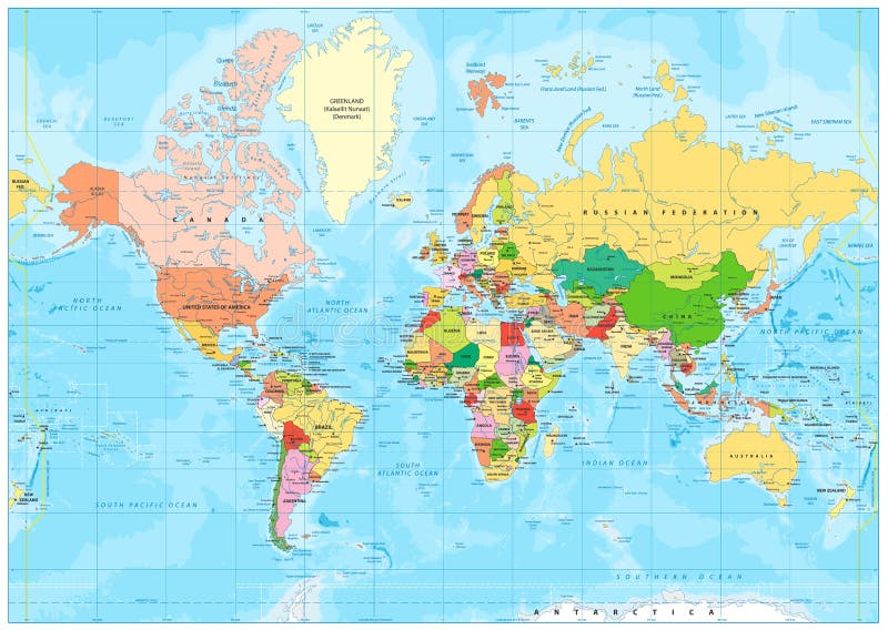
Free with trial Political World map, color countries. Canada color map illustrations Political World map
Free with trial Detailed Physical World Map with labeling. Vector illustration. Canada color map vectors Detailed Physical World Map
Free with trial Map of the World. Vector illustration. Names of countries and cities, continents, state borders are located on separate layers. Canada color map vectors Map of the World. Vector illustration
Free with trial Political World map, color countries. Canada color map illustrations Political World map
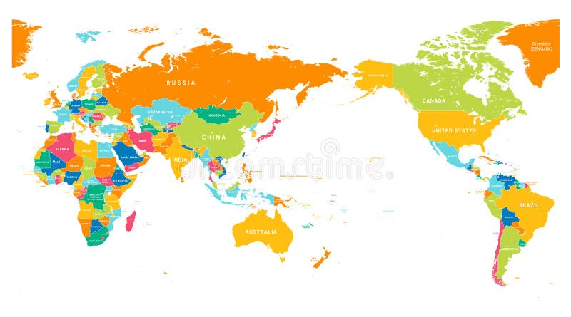
Free with trial Colored world map. Political maps, colourful world countries and country names. Geography politics map, world land atlas or planet cartography vector illustration. Canada color map vectors Colored world map. Political maps, colourful world countries and country names vector illustration. Colored world map. Political maps, colourful world countries and country names. Geography politics map, world land atlas or planet cartography vector illustration
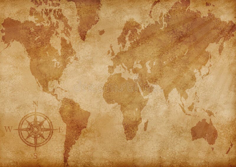
Free with trial Old grunge world map computer generated illustration. Canada color map illustrations Computer generated old grunge map of the world. Old grunge world map computer generated illustration
Free with trial Fun colorful sketch collection of Canada icons, countries alphabet. Canada color map vectors Collection of Canada icons
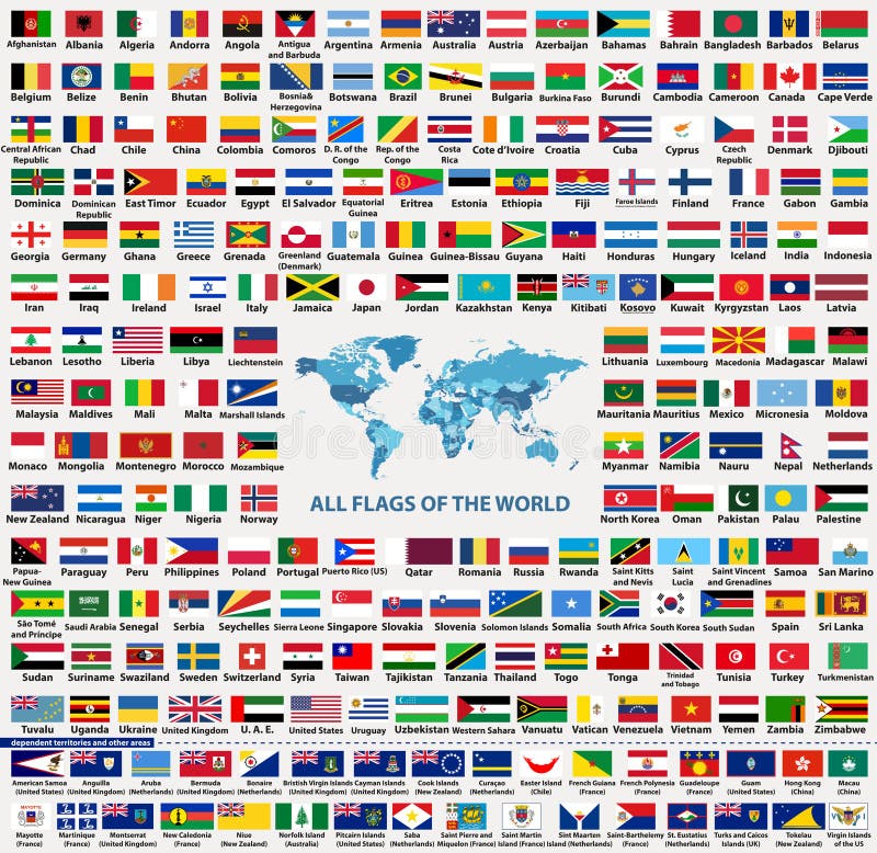
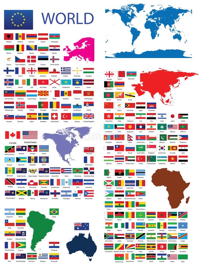
Free with trial Vector set of all world countries flags sovereign states, dependent, overseas territories and other areas,-total of 232 flags. Map of the world with countries names and borders in blue color palette. Canada color map vectors Vector set of all world countries flags sovereign states, dependent, overseas territories and other areas,-total of 232 flags
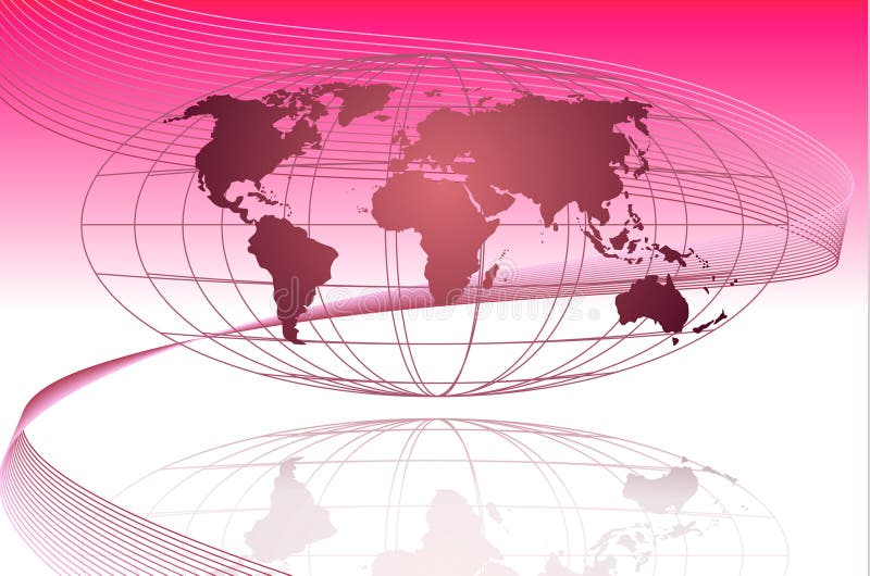
Free with trial This is a global map with the coordinate lining and a wave getting across the global. Best used for business flow purposes. Canada color map illustrations Global
Free with trial To make alpha channel for Natural Color Globe North America Focus search for 4780. Canada color map illustrations Globe Natural Color North America Focus Alpha Channel search for. To make alpha channel for Natural Color Globe North America Focus search for 4780
Free with trial Illustration art of blue globe with isolated background. Canada color map vectors Globe
Free with trial Illustration drawing of around the world flags. Canada color map illustrations World flags
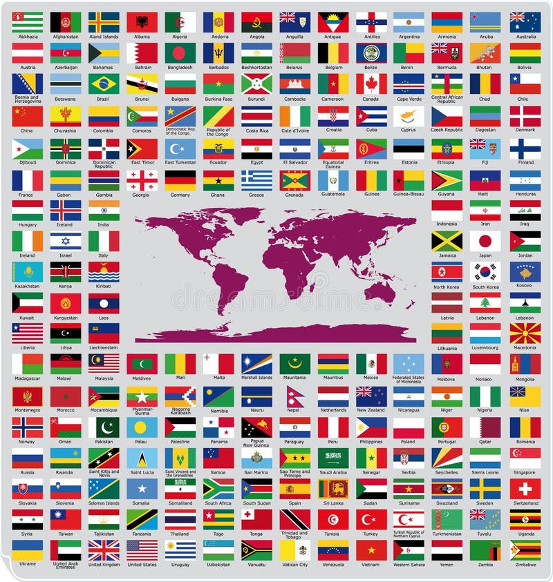
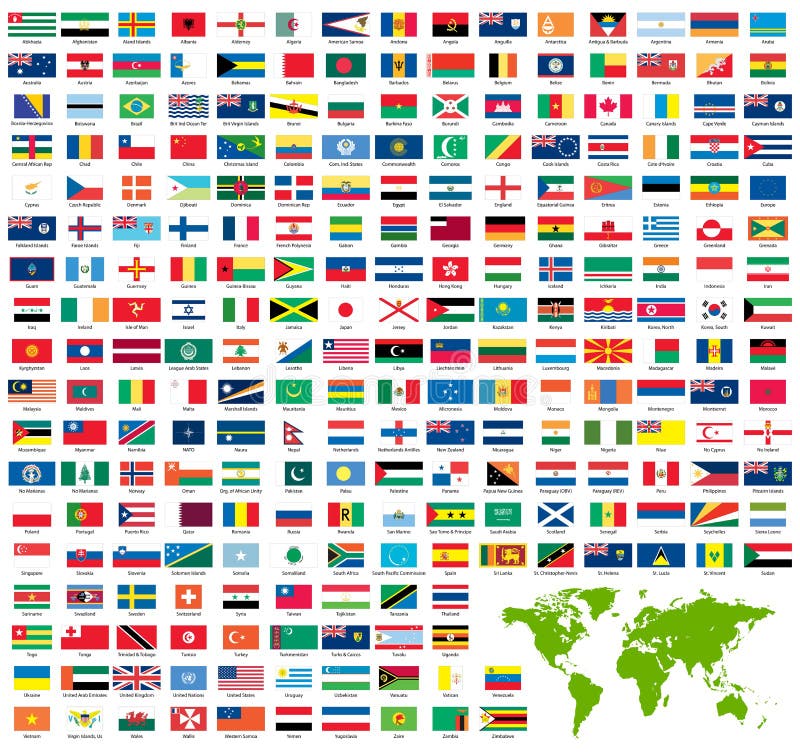
Free with trial Updated and official country flags around the world in alphabetical order (212 Flags). Canada color map vectors Official country flags
Free with trial Complete set of Flags of the world sorted alphabetically with official colors and details. Canada color map vectors Official Flags of the world. Complete set of Flags of the world sorted alphabetically with official colors and details
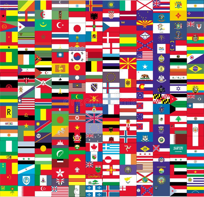
Free with trial Flags of the world complete collection against white background, abstract vector art illustration. Canada color map vectors Flags of the world vector. Flags of the world complete collection against white background, abstract vector art illustration
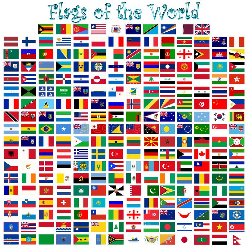
Free with trial Complete set of official world flags sorted by name. Canada color map vectors Complete set of official world flags
Free with trial Official Flags of the world every continent separately. Canada color map vectors Official Flags of the world
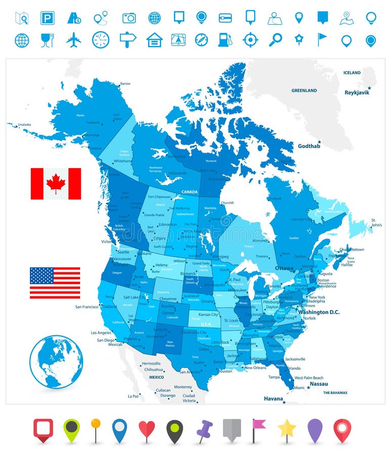
Free with trial Administrative color map of the USA and Canada. Canada color map vectors Color map of the USA and Canada
Free with trial Retro Color Physical map of USA with water objects, cities and capitals. Canada color map vectors Retro Color Physical map of USA
Free with trial Drawing of the map of Canada. Canada color map vectors Map Canada (vector). Drawing of the map of Canada
Free with trial Large detailed vintage color political World Map. Highly detailed vector illustration of World Map. Canada color map vectors Large detailed vintage color political World Map
Free with trial World Map Color Detailed - Asia in Center. Canada color map vectors Asia Center World Map Color. World Map Color Detailed - Asia in Center
Free with trial Detailed Relief map of USA. Retro color. No text. Canada color map vectors Detailed Relief map of USA. Retro color
Free with trial Detailed Physical World Map Isolated on Retro White Color. Vector illustration. Canada color map vectors Detailed Physical World Map Isolated on Retro White Color
Free with trial Detailed map of Canada over white background. Canada color map vectors Detailed map of Canada
Free with trial Canada administrative, political and road vector map. Canada color map vectors Canada administrative, political and road vector map
Free with trial Infographics Canada map, flat design colors, blue background blank. Template. Canada color map vectors Infographics Canada map, flat design colors, blue background blank. Template
Free with trial Map of the Golden Horseshoe metropolitan area around the western end of Lake Ontario, Ontario. Canada. Canada color map vectors Map of the Golden Horseshoe metropolitan area around the western end of Lake Ontario Ontario Canada
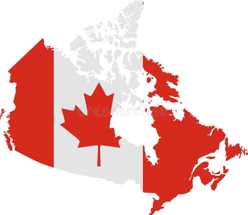
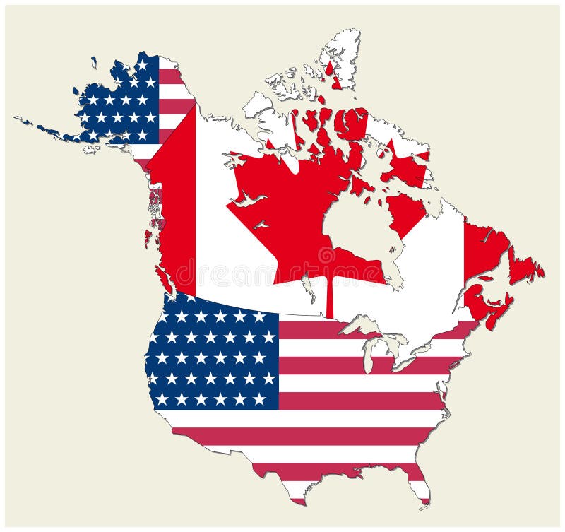
Free with trial Map-flag of Canada (cmyk to rgb). Canada color map vectors Vector map-flag Canada. Map-flag of Canada (cmyk to rgb)
Free with trial USA and Canada large detailed political map in colors of blue and map pointers. Canada color map vectors USA and Canada large detailed political map in colors of blue an
Free with trial Detailed map of Canada and flag. Canada color map illustrations Detailed map of Canada
Free with trial Vector map of the states of canada and usa represented as flag. Canada color map vectors Map of the states of canada and usa represented as flag
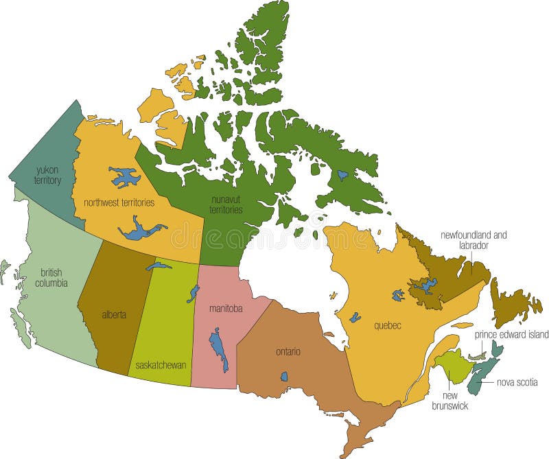
Free with trial Canadian states map in illustration format. Canada color map vectors Map of canada. Canadian states map in illustration format
Free with trial 3d Map of South and North American countries on white. Canada color map illustrations 3d color map of south and north american countries. 3d Map of South and North American countries on white
Free with trial Retro color political World Map. All elements are separated in editable layers clearly labeled. Canada color map vectors Retro color political World Map
Free with trial Vintage color political World Map with round flat icons and globes. All elements are separated in editable layers clearly labeled. Canada color map vectors Vintage color political World Map with round flat icons and glob
Free with trial Vector Canadian largest cities and all states capitals skylines in tints of blue color palette with water reflections; map and flag of Canada. Canada color map vectors Canadian largest cities and all states capitals skylines in tints of blue color palette with water reflections
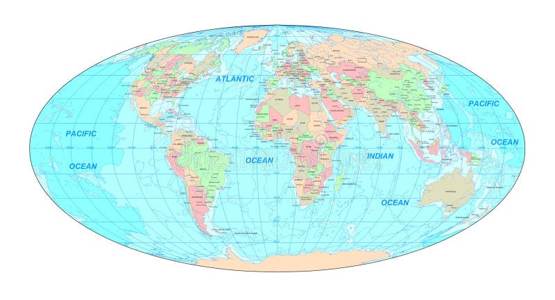
Free with trial Colorful Classic Robinson projection vector map of the World, cleverly layered and with names of all countries, capitals and main cities, main geographical features. Canada color map vectors Robinson projection map of the World. Colorful Classic Robinson projection vector map of the World, cleverly layered and with names of all countries, capitals and main cities, main geographical features.
Free with trial Political World Map Retro Colors - borders, countries and cities - Detailed World Map vector illustration - All elements are separated in editable layers clearly labeled - Vector. Canada color map vectors Political World Map Retro Colors
Free with trial Detailed retro political World Map. Highly detailed vector illustration of World Map. Canada color map vectors Detailed retro political World Map
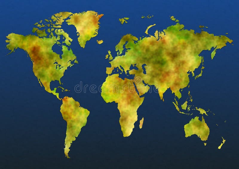
Free with trial Illustrated map of the world over a textured blue background. Canada color map illustrations Color map. Illustrated map of the world over a textured blue background
Free with trial Map of Alaska, USA with small location map. Vector illustration. Canada color map illustrations Alaska map. Map of Alaska, USA with small location map. Vector illustration.
Free with trial America map-interant communication artwork. Canada color map illustrations America map
Free with trial Map of earth with borders The base map is from. Canada color map vectors Map of earth
Free with trial Very detailed map of the world every continent in different color. Canada color map vectors Map of the World
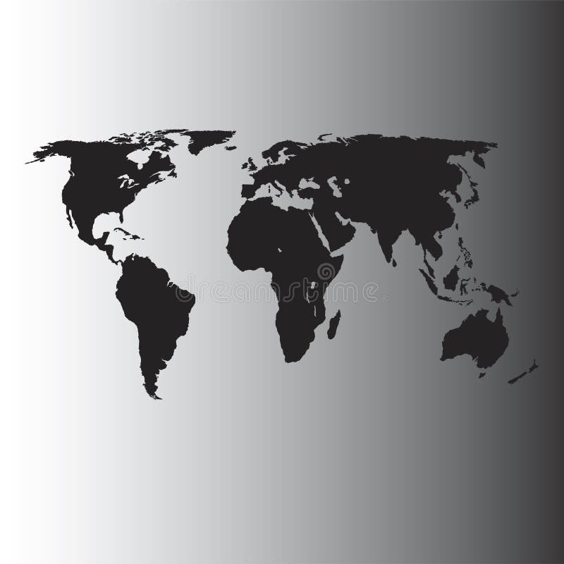
Free with trial Vector World Map - Africa, America, Asia, Europe and Oceania - Black on shaded gray background. Canada color map vectors Vector World Map
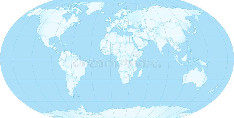
Free with trial Vector World Map - Africa, America, Asia, Europe and Oceania - Blue on white background. Canada color map vectors Vector World Map
Free with trial A detailed map of North America with 3D effect and country outlines, large enough for all general print requirements. For a collection of similar maps, please visit this link:. Canada color map illustrations North America map in 3D. A detailed map of North America with 3D effect and country outlines, large enough for all general print requirements. For a collection of similar maps, please visit this link:
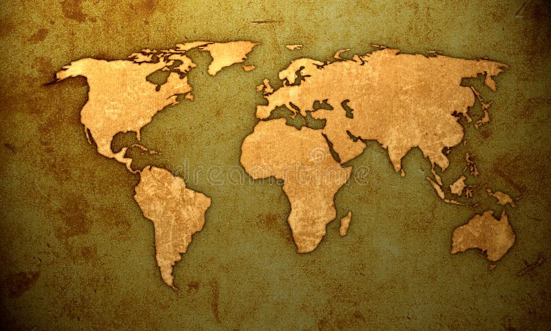
Free with trial The world map brown grungy background with scratches marks and spills. Canada color map illustrations The world map grungy. The world map brown grungy background with scratches marks and spills
Free with trial Detailed Physical World Map Retro Colors. No bathymetry. Vector illustration. Canada color map vectors Detailed Physical World Map Retro Colors. No bathymetry
Free with trial The world map brown grungy background with scratches marks and spills printed on parchment. Canada color map illustrations World map on parchment. The world map brown grungy background with scratches marks and spills printed on parchment
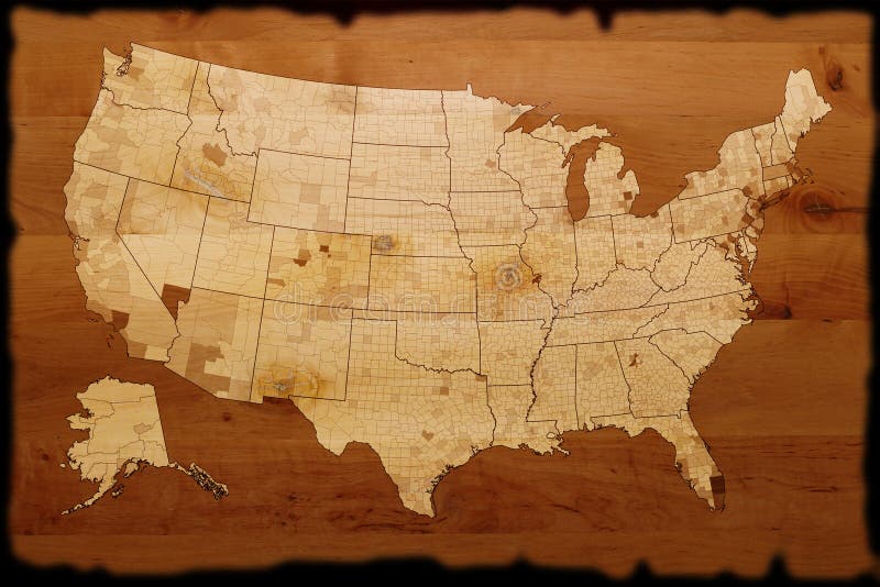
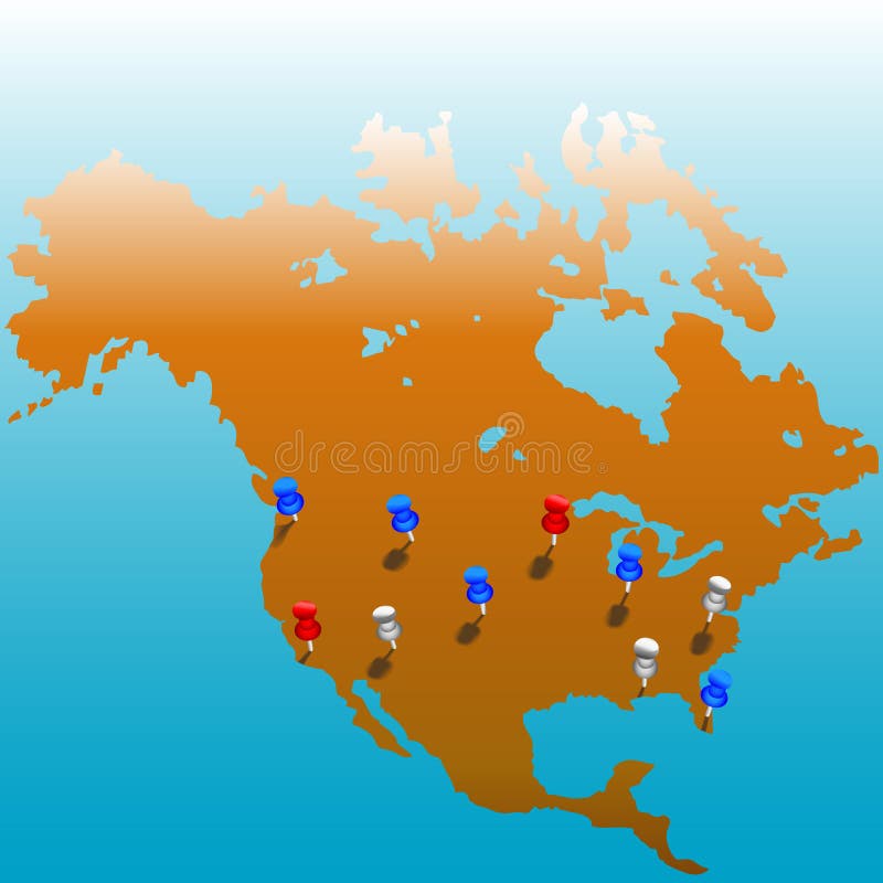
Free with trial Stick pins in the US. Map of America & color tacks. Bleeds to white at top; copyspace galore. Canada color map vectors World Wide Tacks_US Map. Stick pins in the US. Map of America & color tacks. Bleeds to white at top; copyspace galore.
Free with trial Map of world with binary code backdrop. Canada color map illustrations Binary map. Map of world with binary code backdrop