Free with trial A map of the UK with the regions on the continent colored in bright colors and the main cities. Continent isolated on a white background. Country map welsh vectors UK and Ireland map. A map of the UK with the regions on the continent colored in bright colors and the main cities. Continent isolated on a white background.
Free with trial Uk and ireland map designed in illustration with the regions on the continent colored in bright colors and the main cities. Country map welsh vectors UK and Ireland map
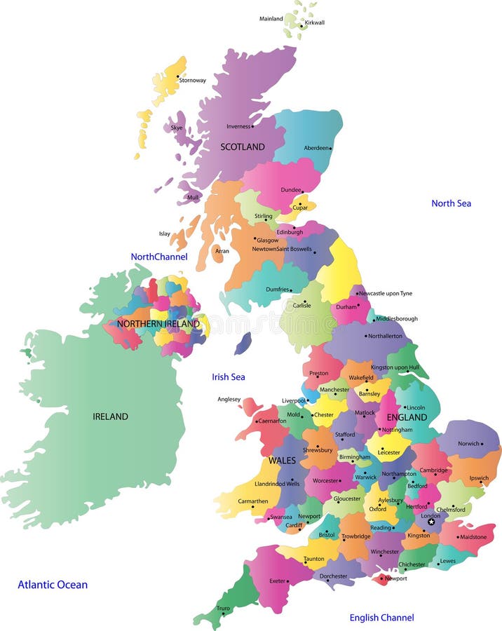
Free with trial A map of the UK with postcode areas identified and coloured, created within Adobe Illustrator CS2 and can be edited. Continent placed on a white background. Country map welsh vectors Postcode Map of UK. A map of the UK with postcode areas identified and coloured, created within Adobe Illustrator CS2 and can be edited. Continent placed on a white background.
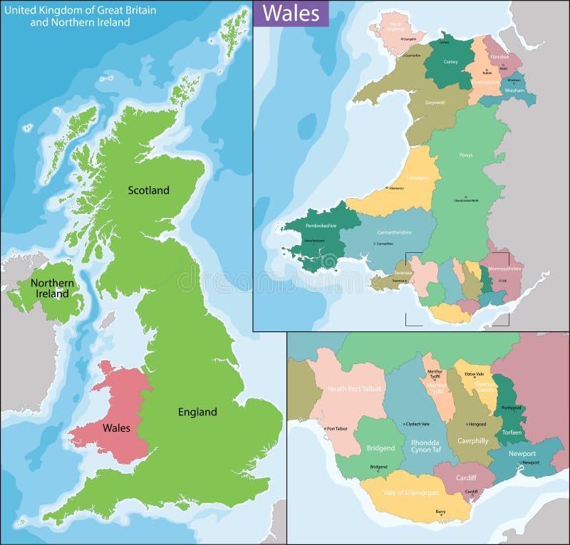
Free with trial Administrative Wales map which is divided into 22 unitary authority areas. Country map welsh vectors Wales map
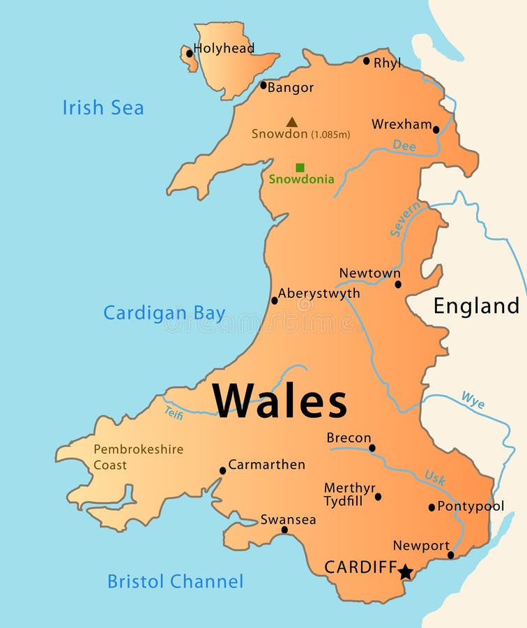
Free with trial Illustration of the map of Wales with its main cities, rivers, mountaints and parks. Country map welsh vectors Wales map. Illustration of the map of Wales with its main cities, rivers, mountaints and parks.
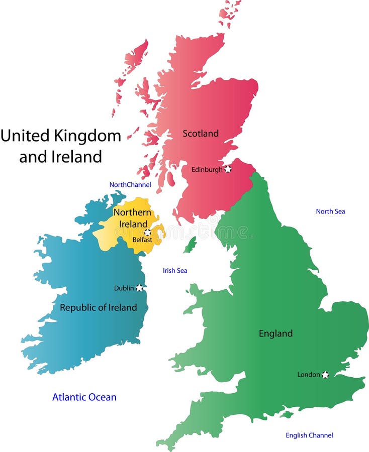
Free with trial Vector illustration of a map and flag from England, Scotland, Northern Ireland, and Ireland. Country map welsh vectors United Kingdom map. Vector illustration of a map and flag from England, Scotland, Northern Ireland, and Ireland
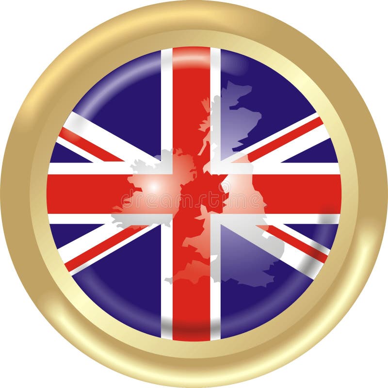
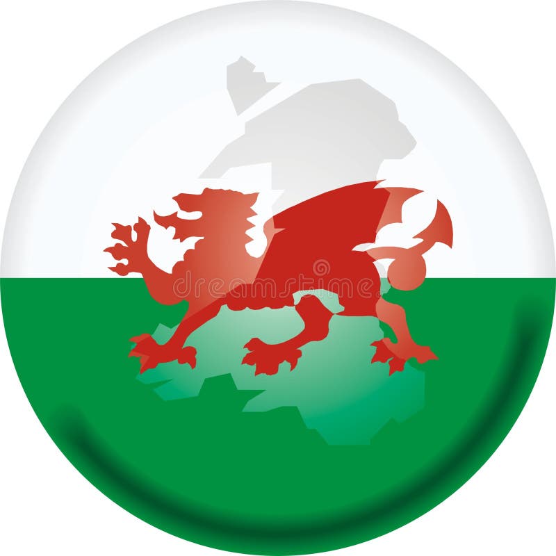
Free with trial Round gold medal with map and flag from United Kingdom. Country map welsh vectors UK flag and map. Round gold medal with map and flag from United Kingdom
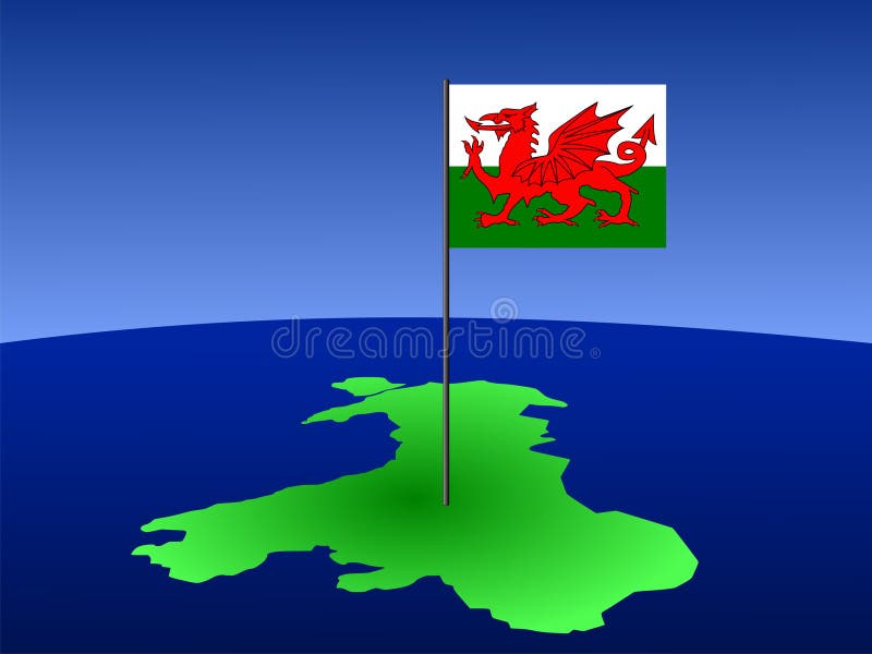
Free with trial Map of Wales and their flag on pole illustration. Country map welsh vectors Map of Wales with flag. Map of Wales and their flag on pole illustration
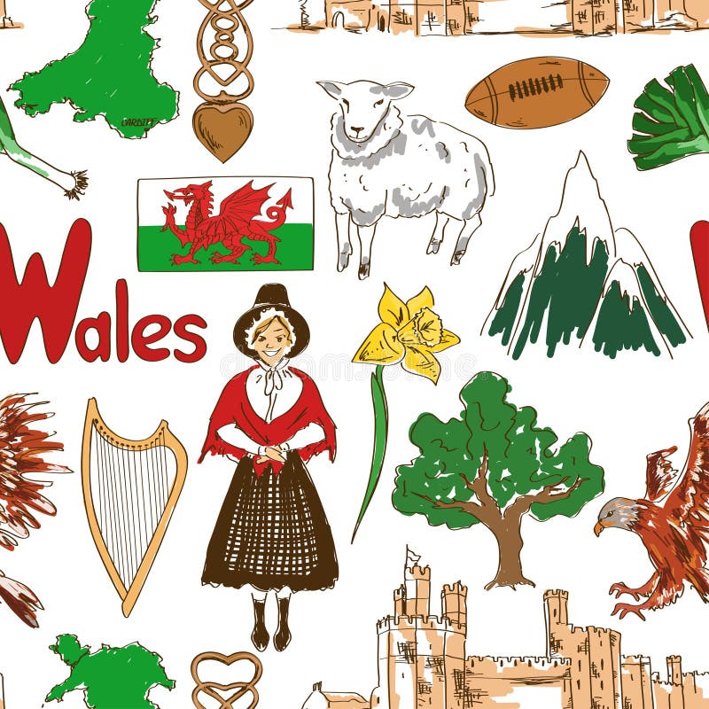
Free with trial Fun colorful sketch collection of Wales icons, countries alphabet. Country map welsh vectors Collection of Wales icons
Free with trial Colorful sketch collection of Wales symbols. Heart shape concept. Travel background. Country map welsh vectors Wales symbols in heart shape concept. Colorful sketch collection of Wales symbols. Heart shape concept. Travel background
Free with trial Dogs by country of origin. Walsh dog breeds. Infographic template. Vector illustration. Country map welsh vectors Dogs by country of origin. Walsh dog breeds. Infographic template. Vector illustration
Free with trial Vector graphic flat icons representing symbols and landmarks of Wales. Country map welsh vectors Wales Flat Icon Set. Vector graphic flat icons representing symbols and landmarks of Wales.
Free with trial Vector graphic ribbons and banners representing Wales. Country map welsh vectors Wales Banner Set. Vector graphic ribbons and banners representing Wales.
Free with trial Wales cities, countries and country boroughs map and Welsh largest cities skylines icons. All elements separated in editable and detachable layers. Country map welsh vectors Wales cities, countries and country boroughs map and Welsh largest cities skylines icons. All elements separated in editable and d
Free with trial Wales map with Welsh national flag illustration. Country map welsh vectors Wales map with Welsh national flag
Free with trial Wales map with waving flag of country. Vector illustration. Country map welsh vectors Wales map with waving flag of country.
Free with trial Isle of Anglesey Wales map with Welsh national flag illustration. Country map welsh vectors Isle of Anglesey Wales map with Welsh national flag
Free with trial Labeled Color Map of Principal Areas of Wales. Country map welsh vectors Map of Welsh Principal Areas. Labeled Color Map of Principal Areas of Wales
Free with trial Gray 3D Topography Map of European Country of Wales. Country map welsh vectors Relief Map of Wales. Gray 3D Topography Map of European Country of Wales
Free with trial Tactical Military Emerald 3D Topography Map of European Country of Northern Ireland, United Kingdom. Country map welsh vectors Relief Map of of Northern Ireland. Tactical Military Emerald 3D Topography Map of European Country of Northern Ireland, United Kingdom
Free with trial Gray 3D Topography Map of European Country of Northern Ireland, United Kingdom. Country map welsh vectors Relief Map of of Northern Ireland. Gray 3D Topography Map of European Country of Northern Ireland, United Kingdom
Free with trial Dogs by country of origin. Walsh dog breeds. Infographic template. Vector illustration. Country map welsh vectors Dogs by country of origin. Walsh dog breeds. Infographic template. Vector illustration
Free with trial White Labeled Map of Districts of Northern Ireland, United Kingdom. Country map welsh vectors Map of Northern Ireland Districts. White Labeled Map of Districts of Northern Ireland, United Kingdom
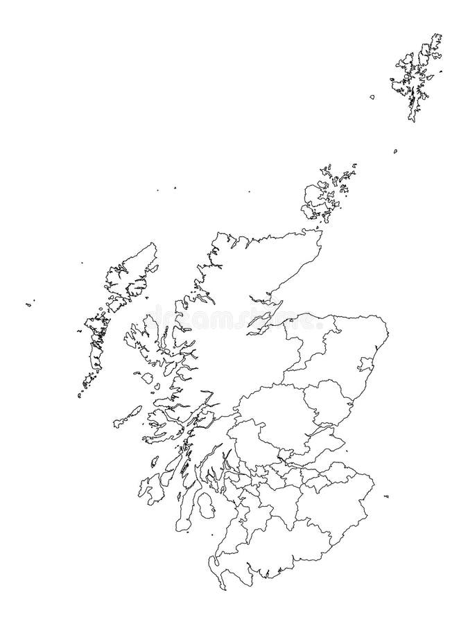
Free with trial White Labeled Flat Map of Council Areas of Scotland. Country map welsh vectors Map of Scottish Council Areas. White Labeled Flat Map of Council Areas of Scotland
Free with trial Labeled Color Flat Map of Council Areas of Scotland. Country map welsh vectors Map of Scottish Council Areas. Labeled Color Flat Map of Council Areas of Scotland
Free with trial Welsh pin icon wavy flag. Vector illustration. Country map welsh vectors Welsh pin wavy flag. Vector illustration.
Free with trial United Kingdom of Great Britain map UK GB triangle low poly geometric polygonal abstract style. Cyan pink gradient abstract tessellation modern design background low poly. Vector illustration. Country map welsh illustrations United Kingdom of Great Britain map UK GB triangle low poly geometric polygonal abstract style.
Free with trial Geometric polygonal style vector map of United Kingdom. Low poly map of United Kingdom. Colorful Polygonal map shape of United Kingdom on white background - vector illustration eps 10. Country map welsh vectors Geometric polygonal style vector map of United Kingdom. Low poly map of United Kingdom.
Free with trial Puzzle with the national flag of russia and wales on a world map background. 3D illustration. Country map welsh illustrations Puzzle with the national flag of russia and wales on a world map background.
Free with trial White Flat Map of Council Areas of Scotland. Country map welsh vectors Map of Scottish Council Areas. White Flat Map of Council Areas of Scotland
Free with trial United Kingdom Great Britain England map with flag Union Jack vector isolated on white background. Country map welsh vectors United kingdom great britain map with flag. United Kingdom Great Britain England map with flag Union Jack vector isolated on white background
Free with trial Waving Irish and Welsh flags of the political map of the world. Country map welsh illustrations Ireland and Wales. Waving Irish and Welsh flags of the political map of the world
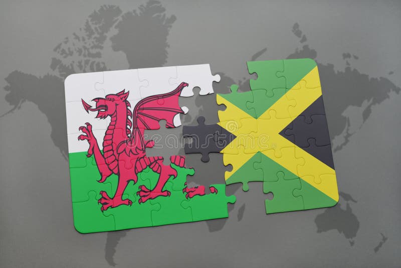
Free with trial Puzzle with the national flag of wales and jamaica on a world map background. 3D illustration. Country map welsh illustrations Puzzle with the national flag of wales and jamaica on a world map
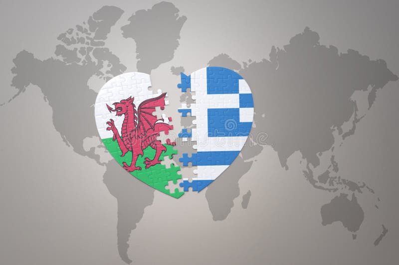
Free with trial Puzzle heart with the national flag of greece and wales on a world map background. Concept. 3D illustration. Country map welsh illustrations Puzzle heart with the national flag of greece and wales on a world map background.Concept
Free with trial Great Britain map from a series in my portfolio. Country map welsh vectors Great Britain
Free with trial Wales is a country that is part of the United Kingdom. Country map welsh vectors Map of Wales. Wales is a country that is part of the United Kingdom.
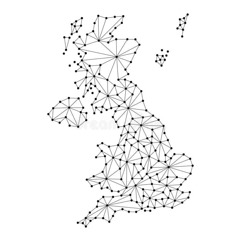
Free with trial United Kingdom map of polygonal mosaic lines network, rays and dots vector illustration. Country map welsh vectors United Kingdom map of polygonal mosaic lines network, rays, dots vector illustration.
Free with trial Set of England country ornament travel tour concept. London traditional, magazine, book, poster, abstract, element. Vector decorative ethnic greeting card or invitation design. Country map welsh vectors Set of England country ornament travel tour concept. London traditional, magazine, book, poster, abstract, element
Free with trial Flag of Wales United Kingdom, vector set of isometric flat icons, 3D style, different views. Editable design elements for banner, website, presentation, infographic, poster, map, collage. Eps 10. Country map welsh vectors Flag of Wales, UK. 3D vector isometric icons. Flag of Wales United Kingdom, vector set of isometric flat icons, 3D style, different views. Editable design elements for banner, website, presentation, infographic, poster, map, collage. Eps 10
Free with trial Vector graphic flat icons representing symbols and landmarks of Wales. Country map welsh vectors Wales Flat Icon Set. Vector graphic flat icons representing symbols and landmarks of Wales.
Free with trial Fun colorful sketch Wales seamless pattern. Country map welsh vectors Sketch Wales seamless pattern
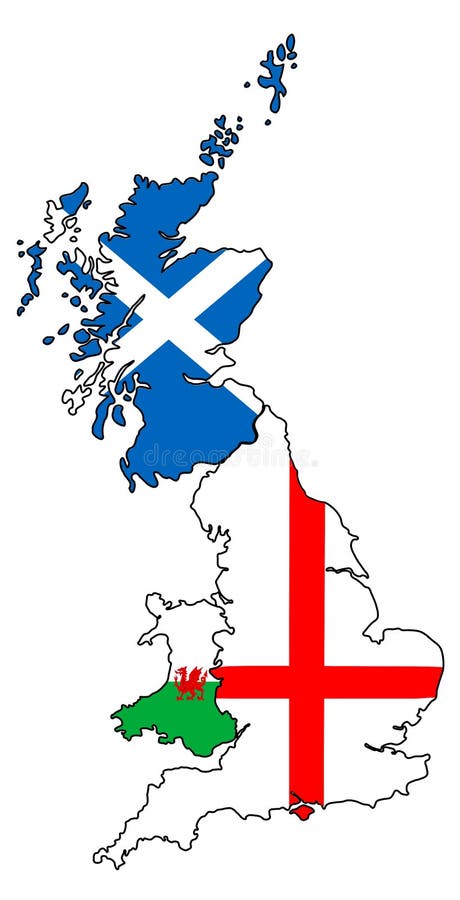
Free with trial Outline of countries of England, Scotland and Wales overlaid with national flags. Country map welsh illustrations England Scotland Wales outlines with flags overlaid. Outline of countries of England, Scotland and Wales overlaid with national flags.
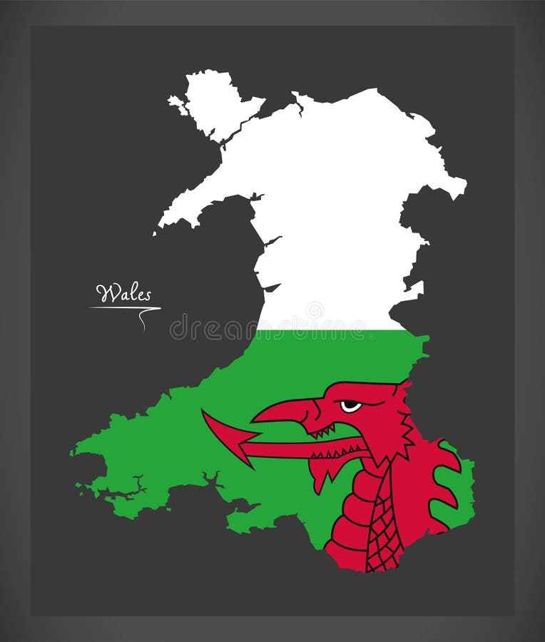
Free with trial Wales Country Map Featuring National Flag Colors. Vector illustration. Country map welsh vectors Wales Country Map Featuring National Flag Colors
Free with trial Two versions of an Wales folded map, one with a pinned country flag and one with a flag in the map contour. Template for both print and online design. Vector illustration. Country map welsh vectors Two versions of an Wales folded map, one with a pinned country flag and one with a flag in the map contour. Template for both
Free with trial Wrexham city (United Kingdom of Great Britain and Northern Ireland, UK, Welsh) map vector illustration,. Scribble sketch Wrecsam map. Country map welsh vectors Wrexham city (United Kingdom of Great Britain and Northern Ireland, UK, Welsh) map vector illustration,. Scribble sketch Wrecsam map
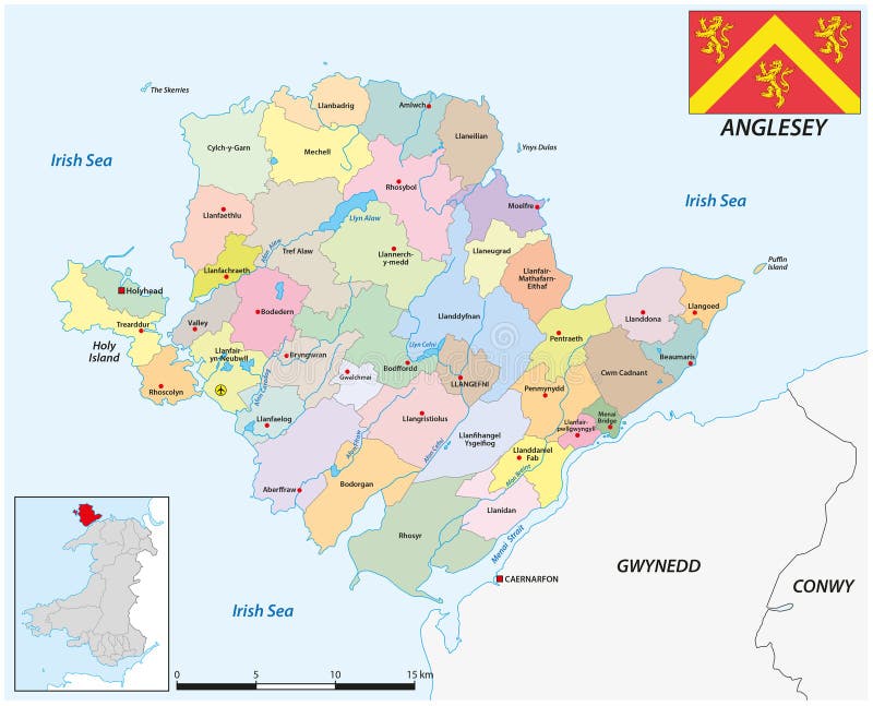
Free with trial Administrative map of the Welsh island of Anglesey. Country map welsh vectors Administrative map of the Welsh island of Anglesey
Free with trial Word wales is overlaid with national flag, set against vintage world map background. The image highlights country geographical location and national identity. Generative Ai. Country map welsh illustrations Word wales is overlaid with national flag, set against vintage world map background. The image highlights country geographical
Free with trial Wales country map icon vector illustration symbol design. Country map welsh vectors Wales region map. Wales country map icon vector illustration symbol design
Free with trial Wales country map icon vector illustration symbol design. Country map welsh vectors Wales region map. Wales country map icon vector illustration symbol design
Free with trial Italy vs ireland in Rugby Tournament, circle shaped country flag and country map on black background. Vector template. Country map welsh vectors Italy vs ireland in Rugby Tournament, circle shaped country flag and country map on black background. Vector template.
Free with trial Celtic nations, map of the six Celtic countries, a cultural area and a collection of geographical regions in Northwestern Europe, where Celtic languages and cultural traits have survived. Vector. Country map welsh vectors Celtic nations, map of the six Celtic countries
Free with trial Wales on the map of British Isles with softly striped vintage background. Country map welsh illustrations Map of British Isles - Wales. Wales on the map of British Isles with softly striped vintage background
Free with trial Wales on the map of United Kingdom with softly striped vintage background. Country map welsh illustrations Map of United Kingdom - Wales. Wales on the map of United Kingdom with softly striped vintage background
Free with trial New South Wales on the map of Australia with softly striped vintage background. Country map welsh illustrations Map of Australia - New South Wales. New South Wales on the map of Australia with softly striped vintage background
Free with trial Stylized Map of Wales with Neighboring Areas. Map in a modern, minimalistic style with soft gradient colors. Country map welsh vectors Stylized Map of Wales with Neighboring Areas
Free with trial This is a detailed, antique-style map of the United Kingdom, including England, Scotland, Wales, and Ireland. The map features various regions and cities, with a vintage color palette and intricate detailing. It evokes a sense of history and exploration, suitable for educational purposes, historical projects, or decorative applications. Country map welsh illustrations Antique Map of the United Kingdom. This is a detailed, antique-style map of the United Kingdom, including England, Scotland, Wales, and Ireland. The map features various regions and cities, with a vintage color palette and intricate detailing. It evokes a sense of history and exploration, suitable for educational purposes, historical projects, or decorative applications.
Free with trial The stark black silhouette of the United Kingdom map on a bright blue background represents the geographic outline of the nation, perfect for travel or educational purposes. Country map welsh illustrations A stark black silhouette of the United Kingdom map against a vibrant blue background, representing national identity. The stark black silhouette of the United Kingdom map on a bright blue background represents the geographic outline of the nation, perfect for travel or educational purposes
Free with trial England UK united kingdom Great Britain map shape simplified silhouette vector isolated on white background. Country map welsh vectors England uk united kingdom map silhouette. England UK united kingdom Great Britain map shape simplified silhouette vector isolated on white background
Free with trial England UK united kingdom Great Britain map shape simplified outline vector isolated on white background. Country map welsh vectors England uk united kingdom map outline simplified. England UK united kingdom Great Britain map shape simplified outline vector isolated on white background
Free with trial Wales on the map of United Kingdom in soft grunge and vintage style, like old paper with watercolor painting. Country map welsh illustrations Map of United Kingdom - Wales. Wales on the map of United Kingdom in soft grunge and vintage style, like old paper with watercolor painting
Free with trial Wales on the map of British Isles in soft grunge and vintage style, like old paper with watercolor painting. Country map welsh illustrations Map of British Isles - Wales. Wales on the map of British Isles in soft grunge and vintage style, like old paper with watercolor painting
Free with trial New South Wales on the map of Australia in soft grunge and vintage style, like old paper with watercolor painting. Country map welsh illustrations Map of Australia - New South Wales. New South Wales on the map of Australia in soft grunge and vintage style, like old paper with watercolor painting
Free with trial 3D Isometric Map Highlighting Wales in Red. Vector illustration. Country map welsh vectors 3D Isometric Map Highlighting Wales in Red
Free with trial Wales Map in Blue with Gold Framed Accents. Modern Vector Map of Wales. Vector Illustration. Country map welsh vectors Wales Map in Blue with Gold Framed Accents. Modern Vector Map of Wales
Free with trial Welsh flag ribbon icon for patriotic, cultural, or national-themed designs. Vector illustration. Country map welsh vectors Welsh flag ribbon icon for patriotic, cultural, or national designs. Vector illustration.
Free with trial Wales Map Under Magnifying Glass with National Flag Overlay. The image represents geographical focus, national identity, and exploration. Country map welsh vectors Wales Map Under Magnifying Glass with National Flag Overlay
Free with trial Searching tickets to Wales or travel destination in Wales. Searching bar with airplane, passport, boarding pass, tickets and map. Vector illustration. Country map welsh vectors Searching tickets to Wales or travel destination in Wales. Searching bar with airplane, passport, boarding pass, tickets and map
Free with trial Wales Map Pin with National Flag on Open World Map. Perfect for use in travel guides, geography content, global positioning concepts, and international business themes. Country map welsh vectors Wales Map Pin with National Flag on Open World Map
Free with trial Welsh flag wavy abstract background layout. Vector illustration. Country map welsh vectors Welsh flag wavy background layout. Vector illustration.
Free with trial A Wales map on white background with clipping path. Country map welsh illustrations Wales map with clipping path. A Wales map on white background with clipping path
Free with trial Wales Location Highlighted on Map with Flag Icon. Detailed Vector Design. Country map welsh vectors Wales Location Highlighted on Map with Flag Icon
Free with trial Vector graphic artwork suitable for print and web containing flat detailed map of independent WALES. Country map welsh vectors Vector artwork of detailed outline map of independent WALES. Vector graphic artwork suitable for print and web containing flat detailed map of independent WALES
Free with trial Vector graphic artwork suitable for print and web containing flat detailed map of independent WALES. Country map welsh vectors Vector artwork of detailed outline map of independent WALES. Vector graphic artwork suitable for print and web containing flat detailed map of independent WALES
Free with trial Vector graphic artwork suitable for print and web containing flat detailed map of independent WALES. Country map welsh vectors Vector artwork of detailed outline map of independent WALES. Vector graphic artwork suitable for print and web containing flat detailed map of independent WALES
Free with trial Vector graphic artwork suitable for print and web containing flat detailed map of independent WALES. Country map welsh vectors Vector artwork of detailed outline map of independent WALES. Vector graphic artwork suitable for print and web containing flat detailed map of independent WALES