Free with trial Vector Map Icon of the world in Globe Planet Earth showing North America and Europe. England map new vectors North and South America, Europe, Africa Global World. Vector Map Icon of the world in Globe Planet Earth showing North America and Europe
Free with trial Travel concept. The most popular attractions of the world with bags and suitcases near globe located on the sand. 3d illustration. England map new illustrations Travel concept.
Free with trial The World Map in a USA theme. England map new illustrations World Map US Theme. The World Map in a USA theme
Free with trial Australia Watercolor Map on a white background. England map new illustrations Australia Watercolor Map
Free with trial Manchester satellite view on a dark background, United Kingdom, Great Britain, England. England map new illustrations Manchester map, satellite view, United Kingdom. Manchester satellite view on a dark background, United Kingdom, Great Britain, England
Free with trial Map of 19th century , Europe, Modified from the map released under Creative Commons license from the Lionel Pincus & Princess Firyal Map Division, The New York Public Library. England map new illustrations Map of 19th century , Europe
Free with trial Map of North America including West Indies, 18th century, Modified from the map released under Creative Commons license from the Lionel Pincus & Princess Firyal Map Division, The New York Public Library. England map new illustrations Map of North America including West Indies
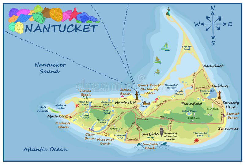
Free with trial A detailed vector map of Nantucket island featuring major beaches, towns like Madaket and Siasconset, lighthouses, and coastal points. Decorated with colorful seashells and a classic compass rose. England map new vectors Illustrated Map of Nantucket Island with Landmarks Beaches and Coastal Details. A detailed vector map of Nantucket island featuring major beaches, towns like Madaket and Siasconset, lighthouses, and coastal points. Decorated with colorful seashells and a classic compass rose.
Free with trial A detailed vector map of Nantucket island featuring major beaches, towns like Madaket and Siasconset, lighthouses, and coastal points. Decorated with colorful seashells and a classic compass rose. England map new vectors Illustrated Map of Nantucket Island with Landmarks Beaches and Coastal Details. A detailed vector map of Nantucket island featuring major beaches, towns like Madaket and Siasconset, lighthouses, and coastal points. Decorated with colorful seashells and a classic compass rose.
Free with trial Cape Cod, Martha's Vineyard, and Nantucket Map, Massachusetts, USA. England map new vectors Cape Cod, Martha\'s Vineyard, and Nantucket Map, Massachusetts, USA
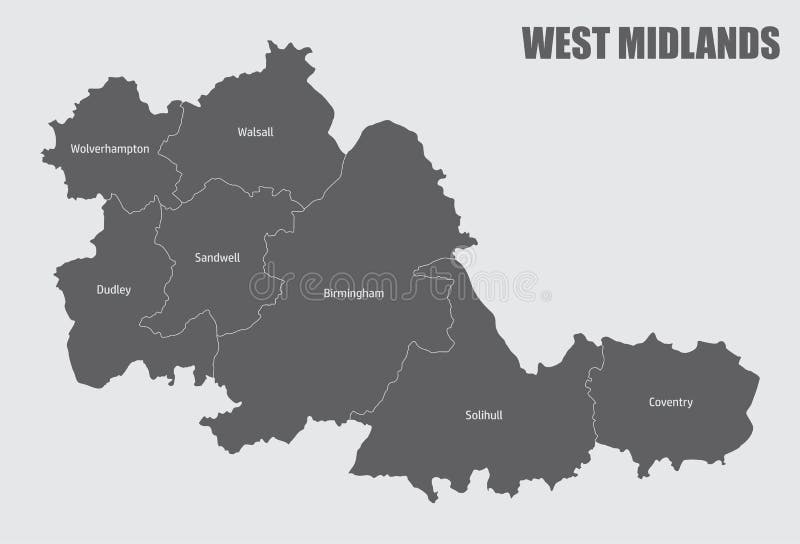
Free with trial West Midlands county divided in districts with labels, England. England map new vectors West Midlands county administrative map. West Midlands county divided in districts with labels, England
Free with trial Sunderland Map with wards and modern round shapes illustration. England map new vectors Sunderland Map with wards and modern round shapes
Free with trial Sunderland city map with wards grey illustration silhouette shape. England map new vectors Sunderland city map with wards grey illustration silhouette shape
Free with trial Coventry city map with wards grey illustration silhouette shape. England map new vectors Coventry city map with wards grey illustration silhouette shape
Free with trial Connecticut map travel icon education vector signage design illustration template trendy. England map new vectors Connecticut map icon vector trendy. Connecticut map travel icon education vector signage design illustration template trendy
Free with trial Ireland flags on 3d map on white. England map new illustrations Ireland flags on 3d map
Free with trial 5 of 50 states of the United States, divided into counties with territory nicknames, Detailed vector Connecticut Map with name and date admitted to the Union, travel poster and postcard for design. England map new vectors 5 of 50 states of the United States, divided into counties with territory nicknames, Detailed vector Connecticut Map with name and
Free with trial 13 of 50 states of the United States, divided into counties with territory nicknames, Detailed vector Rhode Island Map with name and date admitted to the Union, travel poster and postcard for design. England map new vectors 13 of 50 states of the United States, divided into counties with territory nicknames, Detailed vector Rhode Island Map with name
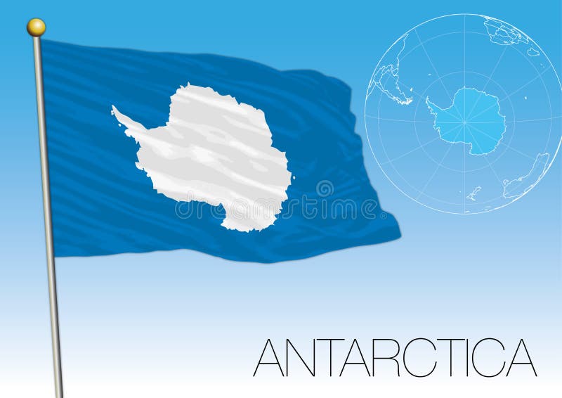
Free with trial Antarctica Flag of the territory and map, vector illustration. England map new vectors Antarctica Flag of the territory and map
Free with trial Manchester Downtown Vector Map Monochrome Artprint, Outline Version for Infographic Background, Black Streets and Waterways. England map new vectors Manchester, UK, Downtown Vector Map. Manchester Downtown Vector Map Monochrome Artprint, Outline Version for Infographic Background, Black Streets and Waterways
Free with trial Sheffield Downtown Vector Map Monochrome Artprint, Outline Version for Infographic Background, Black Streets and Waterways. England map new vectors Sheffield, UK, Downtown Vector Map. Sheffield Downtown Vector Map Monochrome Artprint, Outline Version for Infographic Background, Black Streets and Waterways
Free with trial Yorkshire and the Humber map vector illustration. England map new vectors Yorkshire and the Humber map
Free with trial United Kingdom - country map and flag located on globe, world map. 3D Vector illustration. England map new vectors United Kingdom - country map and flag located on globe, world map.
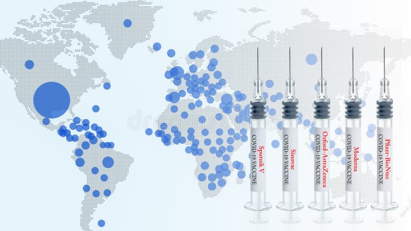
Free with trial Thailand, January 12 2021: illustrative editorial of 5 new Coronavirus covid-19 vaccine, Pfizer-BioNtech, Moderna, AstraZeneca, Sinovac, Sputnik, with background of global pandemic map. England map new illustrations 5 new covid-19 vaccine, Pfizer-BioNtech, Moderna, AstraZeneca, Sinovac, Sputnik. Thailand, January 12 2021: illustrative editorial of 5 new Coronavirus covid-19 vaccine, Pfizer-BioNtech, Moderna, AstraZeneca, Sinovac, Sputnik, with background of global pandemic map
Free with trial The base map is from NASA and Hand Drawn using the pen tool for maximum detail. England map new vectors North, South America, Europe, Africa Global World. The base map is from NASA and Hand Drawn using the pen tool for maximum detail
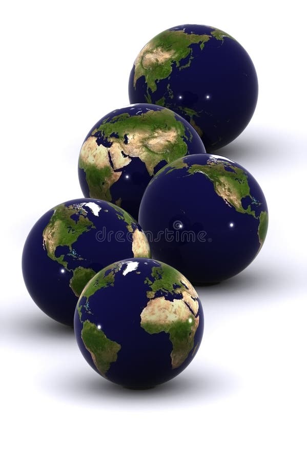
Free with trial Map Icon of the world Globe on a white background - The base map is from Nasa and Hand drawn using the pen tool. England map new vectors Six Global Worlds - SET ONE. Map Icon of the world Globe on a white background - The base map is from Nasa and Hand drawn using the pen tool
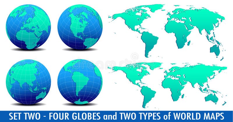
Free with trial Map Icon of the world Globe on a white background - The base map is from Nasa and Hand drawn using the pen tool. England map new vectors Four Global Worlds and Two world maps - SET TWO. Map Icon of the world Globe on a white background - The base map is from Nasa and Hand drawn using the pen tool
Free with trial Europe, North and South America, Africa Vector Map Icon of the World Globe. England map new vectors Europe, North and South America, Africa Global World Planet Earth Icon. Europe, North and South America, Africa Vector Map Icon of the World Globe
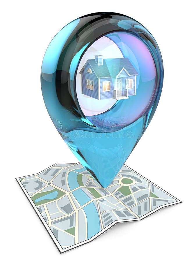
Free with trial 3D render of a Map with Blue Glass GPS Pointer containing a House. England map new illustrations Home. 3D render of a Map with Blue Glass GPS Pointer containing a House.
Free with trial Real imprint of child foot with a world map of Europe - isolated on white background. England map new illustrations Foot print of Europe. Real imprint of child foot with a world map of Europe - isolated on white background
Free with trial Real imprint of child foot with a world map of Europe - isolated on white background. Elements of this image furnished by NASA. England map new illustrations Foot print of Europe. Real imprint of child foot with a world map of Europe - isolated on white background. Elements of this image furnished by NASA
Free with trial 3D render of a Map with Large Blue GPS Pointer containing a Blue House. England map new illustrations Property Search. 3D render of a Map with Large Blue GPS Pointer containing a Blue House.
Free with trial Europe, North and South America, Europe and Africa, Vector Map Icon of the World Globe. England map new vectors Europe, North and South America, Africa Global World Planet Earth Icon. Europe, North and South America, Europe and Africa, Vector Map Icon of the World Globe
Free with trial London and France flat icons design travel concept. Travel to Europe for christmas. Invitation card. Merry Christmas greeting card design. France Christmas winter. Europe Christmas and New Year. England map new vectors Travel to Europe for christmas. Merry Christmas. London and France flat icons design travel concept. Travel to Europe for christmas. Invitation card. Merry Christmas greeting card design. France Christmas winter. Europe Christmas and New Year.
Free with trial Set of vector polygonal maps of Lewis and Harris. Bright gradient map of island in low poly style. Multicolored Lewis and Harris map in geometric style for your infographics. England map new vectors Set of vector polygonal maps of Lewis and Harris.
Free with trial Vector map of United States with named regions and divisions. England map new vectors United States Regions and Divisions. Vector map of United States with named regions and divisions
Free with trial Vector file, illustration all the country of the european union and flag. England map new vectors European union map. Vector file, illustration all the country of the european union and flag
Free with trial Image maps with symbols of the European Union flags on flag background with new candidates. England map new vectors European Union map. Image maps with symbols of the European Union flags on flag background with new candidates
Free with trial Waving British and Australian flags on the background of the political map of the world. England map new illustrations United Kingdom and Australia. Waving British and Australian flags on the background of the political map of the world
Free with trial Waving British and Irish flags on the background of the political map of the world. England map new illustrations United Kingdom and Ireland. Waving British and Irish flags on the background of the political map of the world
Free with trial Waving Philippine and British flags of the political map of the world. England map new illustrations Philippines and United Kingdom. Waving Philippine and British flags of the political map of the world
Free with trial Waving Hungarian and British flags of the political map of the world. England map new illustrations Hungary and United Kingdom. Waving Hungarian and British flags of the political map of the world
Free with trial Waving Austrian and British flags of the political map of the world. England map new illustrations Austria and United Kingdom. Waving Austrian and British flags of the political map of the world
Free with trial Waving Bangladesh and British flags of the political map of the world. England map new illustrations Bangladesh and United Kingdom. Waving Bangladesh and British flags of the political map of the world
Free with trial 3D Year 2012 In British Flag with Great Britain map for Olympic Games. England map new illustrations Year 2012 In Britain Flag for Olympic Games. 3D Year 2012 In British Flag with Great Britain map for Olympic Games
Free with trial Communication Technology Data across the Globe with light lines Cable. England map new vectors World Global Communication Planet. Communication Technology Data across the Globe with light lines Cable
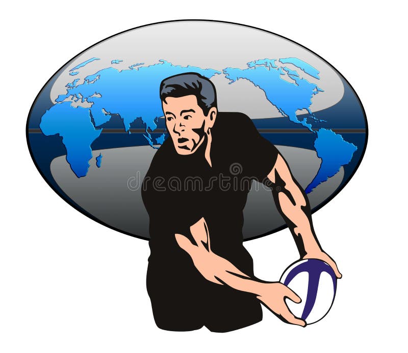
Free with trial Vector art on the sport of rugby. England map new illustrations Rugby player passing ball. Vector art on the sport of rugby
Free with trial A map of the world has been made of graffiti. England map new vectors Graffiti World. A map of the world has been made of graffiti.
Free with trial Symbol of adventure in the form of a globe and world attractions. England map new vectors Symbol of travel. Symbol of adventure in the form of a globe and world attractions
Free with trial A 3d rendered Isolated earth (24hrs). England map new illustrations Time. A 3d rendered Isolated earth (24hrs)
Free with trial A map of the world has been made of graffiti. England map new vectors Graffiti World. A map of the world has been made of graffiti.
Free with trial A 3d rendered Isolated earth (24hrs). England map new illustrations Global Communications. A 3d rendered Isolated earth (24hrs)
Free with trial London, United Kingdom, Big Ben tower flat icons design travel concept. Cute invitation card with winter city life and space for text. Merry Christmas greeting card design. Vector illustration. England map new vectors London, United Kingdom icons travel concept. London, United Kingdom, Big Ben tower flat icons design travel concept. Cute invitation card with winter city life and space for text. Merry Christmas greeting card design. Vector illustration.
Free with trial Blue business USA globe with blue background gradient. England map new vectors Blue business USA globe
Free with trial World Globe on a Blue Black Background. England map new vectors World Icon Symbol. World Globe on a Blue Black Background
Free with trial London, United Kingdom and France flat icons design travel concept. Travel to Europe for christmas. Invitation card. Travel to Europe for winter. Merry Christmas greeting card design. England map new vectors Travel to Europe for winter. Merry Christmas
Free with trial London, United Kingdom and France flat icons design travel concept. Travel to Europe for christmas. Invitation card with winter city life and space for text. Merry Christmas greeting card design. England map new vectors Travel to Europe for christmas. Merry Christmas. London, United Kingdom and France flat icons design travel concept. Travel to Europe for christmas. Invitation card with winter city life and space for text. Merry Christmas greeting card design.
Free with trial A map of the world has been made of graffiti. England map new vectors Graffiti World. A map of the world has been made of graffiti.
Free with trial London, United Kingdom, Big Ben tower flat icons design travel concept. Cute invitation card with winter city life and space for text. Merry Christmas greeting card design. Vector illustration. England map new vectors London, United Kingdom icons travel concept. London, United Kingdom, Big Ben tower flat icons design travel concept. Cute invitation card with winter city life and space for text. Merry Christmas greeting card design. Vector illustration.
Free with trial Hand painted water color drawing, cut out clip art element for design decoration, greeting card, poster, print, banner. England map new illustrations Watercolor illustration of Maine State Silhouette in positive orange color. Hand painted water color drawing, cut out clip art element for design decoration, greeting card, poster, print, banner.
Free with trial London, United Kingdom and France flat icons design travel concept. Travel to Europe for christmas. Invitation card with winter city life and space for text. Merry Christmas greeting card design. England map new vectors Travel to Europe for christmas. Merry Christmas. London, United Kingdom and France flat icons design travel concept. Travel to Europe for christmas. Invitation card with winter city life and space for text. Merry Christmas greeting card design.
Free with trial Around the world travel tourism and exploring countries and cities Paris Milan Rome London New York Moscow Sidney Cairo Dubai France United States England India China Japan Russia. England map new illustrations Around the world travel and tourism. Around the world travel tourism and exploring countries and cities Paris Milan Rome London New York Moscow Sidney Cairo Dubai France United States England India China Japan Russia
Free with trial Around the world travel tourism and exploring countries and cities Paris Milan Rome London New York Moscow Sidney Cairo Dubai France United States England India China Japan Russia. England map new illustrations Around the world travel and tourism. Around the world travel tourism and exploring countries and cities Paris Milan Rome London New York Moscow Sidney Cairo Dubai France United States England India China Japan Russia
Free with trial Mainland badge. Colorful polygonal island symbol. Multicolored geometric Mainland logos set. Vector illustration. England map new vectors Mainland badge.
Free with trial Vector art on the sport of rugby. England map new illustrations Rugby player passing ball. Vector art on the sport of rugby
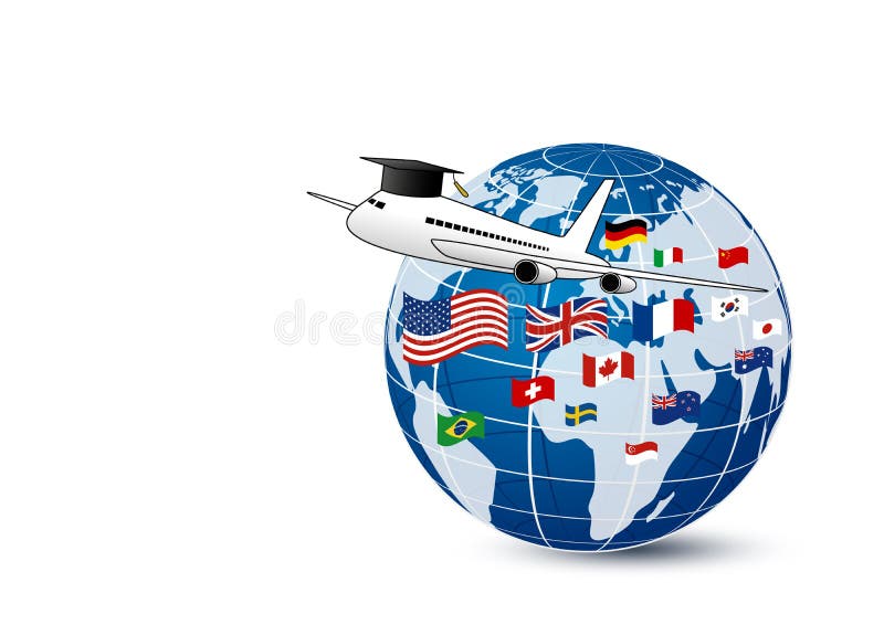
Free with trial Study abroad concept design of airplane and world education with national flag on white background vector illustration. England map new vectors Study abroad concept design of airplane and world education
Free with trial Group of arrays of Japanese crests. England map new illustrations Japanese Crests Set A. Group of arrays of Japanese crests
Free with trial Group of arrays of Japanese crests. England map new illustrations Japanese Crests Set B. Group of arrays of Japanese crests
Free with trial Group of arrays of Japanese crests. England map new illustrations Japanese Crests Set C. Group of arrays of Japanese crests
Free with trial EPS10 Vector Patriotic background with Australia flag colors. An element of impact for the use you want to make of it. England map new vectors EPS10 Vector Patriotic background with Australia flag colors
Free with trial Connecticut constitution state United States of America in best quality. England map new vectors Connecticut constitution state in best quality. Connecticut constitution state United States of America in best quality
Free with trial Massachusetts city line icon. Element of USA states illustration icons. Signs, symbols can be used for web, logo, mobile app, UI, UX on white background. England map new illustrations Massachusetts city line icon. Element of USA states illustration icons. Signs, symbols can be used for web, logo, mobile app, UI
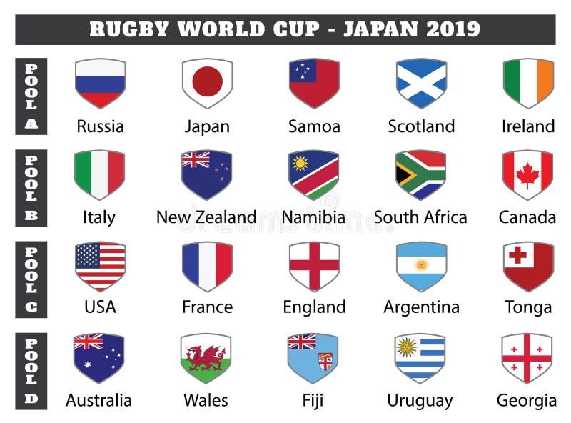
Free with trial All pools of rugby world cup tournament. Twenty countries flags who participate in rugby world cup 2019. England map new vectors All pools of rugby world cup tournament
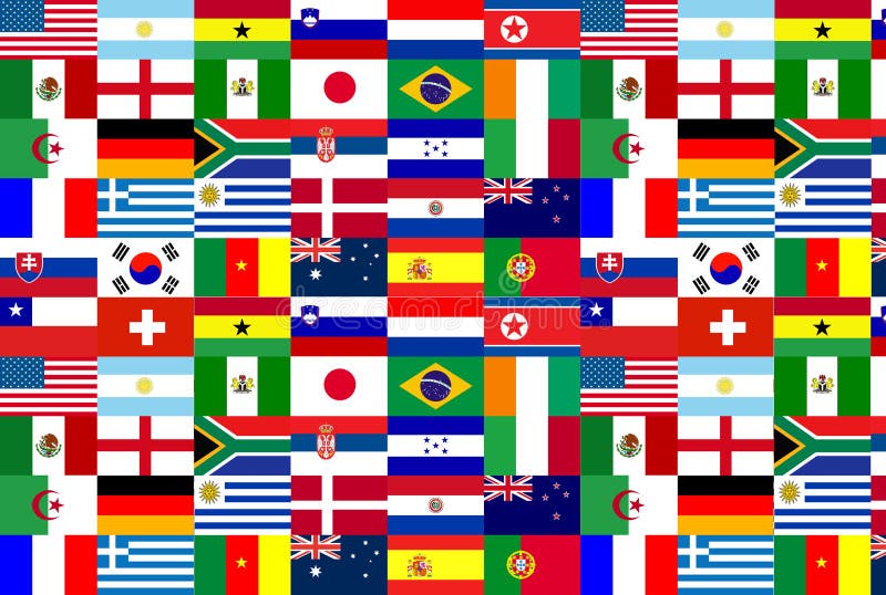
Free with trial Football Texture Nation of Team World Cup 2010. England map new illustrations World Cup 2010
Free with trial Discover a vintage map of Milton Keynes, Buckinghamshire, England, one of the most well-known planned cities in the United Kingdom. Established in the late 20th century as a 'new town,' Milton Keynes was designed with a modern grid road system, open green spaces, and innovative urban planning that distinguishes it from many older British cities. England map new illustrations . Discover a vintage map of Milton Keynes, Buckinghamshire, England, one of the most well-known planned cities in the United Kingdom. Established in the late 20th century as a 'new town,' Milton Keynes was designed with a modern grid road system, open green spaces, and innovative urban planning that distinguishes it from many older British cities.
Free with trial A vintage style map of Holyoke, Massachusetts, historically known as the 'Paper City' for its pioneering paper industry along the Connecticut River. With its canals, mills, and historic downtown, Holyoke represents the rich industrial heritage of New England. This antique map illustration is perfect for editorial projects, education, tourism promotion, or as decorative wall art celebrating American history and culture. England map new illustrations . A vintage style map of Holyoke, Massachusetts, historically known as the 'Paper City' for its pioneering paper industry along the Connecticut River. With its canals, mills, and historic downtown, Holyoke represents the rich industrial heritage of New England. This antique map illustration is perfect for editorial projects, education, tourism promotion, or as decorative wall art celebrating American history and culture.
Free with trial A vintage map of Rutland, Vermont, showcasing the historic city layout in New England. This antique cartography illustration highlights urban planning, geography, and architecture of one of Vermont's cultural and economic centers. Perfect for educational projects, travel design, history presentations, editorial use, and wall art. The retro historic map of Rutland reflects the charm of classic New England towns. England map new illustrations . A vintage map of Rutland, Vermont, showcasing the historic city layout in New England. This antique cartography illustration highlights urban planning, geography, and architecture of one of Vermont's cultural and economic centers. Perfect for educational projects, travel design, history presentations, editorial use, and wall art. The retro historic map of Rutland reflects the charm of classic New England towns.
Free with trial A vintage map of Augusta, Maine, the capital city of the state. This antique cartography illustration highlights the historic layout, geography, and architecture of the Kennebec River region in New England. Perfect for educational projects, travel design, history presentations, editorial use, and wall art. The retro historic map of Augusta reflects the cultural, political, and economic significance of Maine's capital city. England map new illustrations . A vintage map of Augusta, Maine, the capital city of the state. This antique cartography illustration highlights the historic layout, geography, and architecture of the Kennebec River region in New England. Perfect for educational projects, travel design, history presentations, editorial use, and wall art. The retro historic map of Augusta reflects the cultural, political, and economic significance of Maine's capital city.
Free with trial A vintage map of Montpelier, Vermont, the smallest state capital in the United States. This antique cartography illustration highlights the historic city layout, geography, and architecture of Vermont's political and cultural center in New England. Perfect for educational projects, travel design, history presentations, editorial use, and wall art. The retro historic map of Montpelier reflects the unique charm of a classic New England capital town. England map new illustrations . A vintage map of Montpelier, Vermont, the smallest state capital in the United States. This antique cartography illustration highlights the historic city layout, geography, and architecture of Vermont's political and cultural center in New England. Perfect for educational projects, travel design, history presentations, editorial use, and wall art. The retro historic map of Montpelier reflects the unique charm of a classic New England capital town.