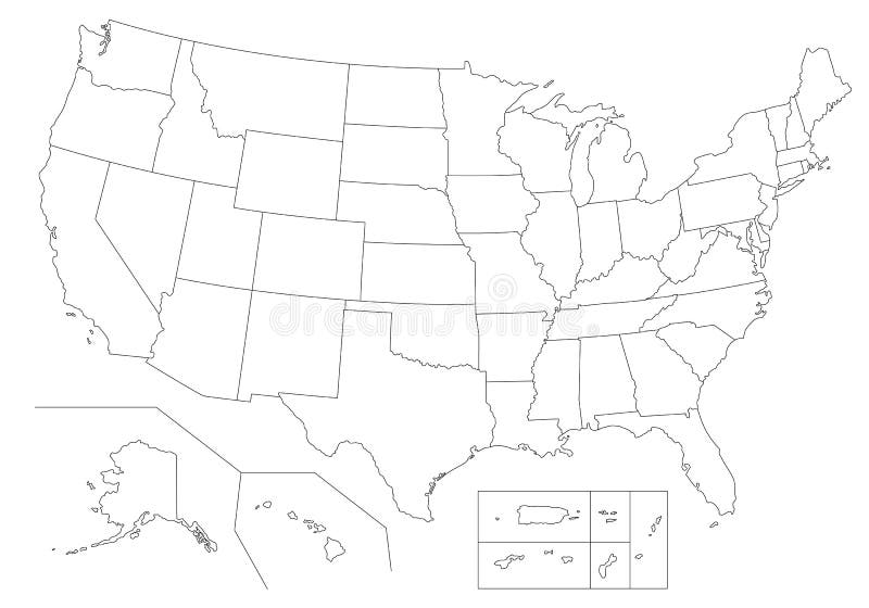
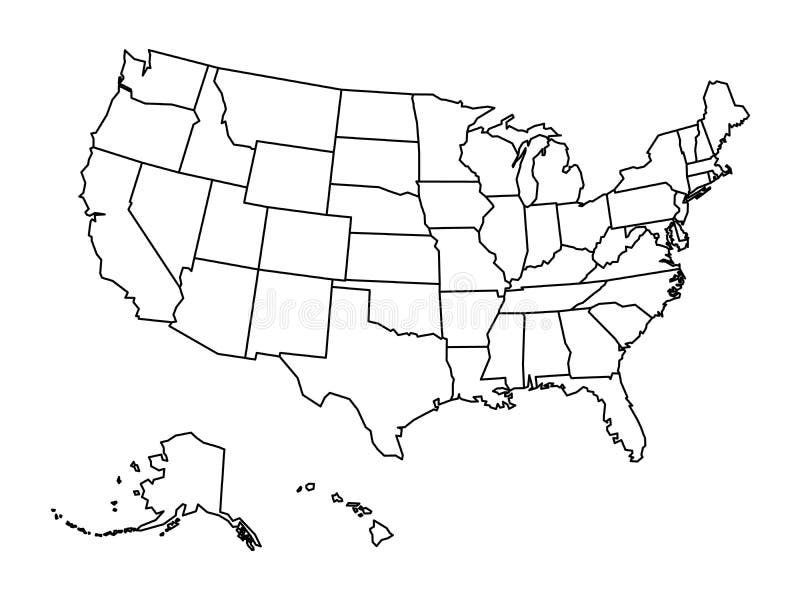
Free with trial Outline Political US Map with titles of the states. All USA regions are separated and named in a layer panel. Federal outline map vectors Outline Political US Map with titles of the states.
Free with trial Outline United States Of America map. US background template. Map of America with separated countries and interstate borders. All states and regions are named in the layer panel. Federal outline map vectors Outline United States Of America map. US background template. Map of America with separated countries and interstate borders. All states and regions are named
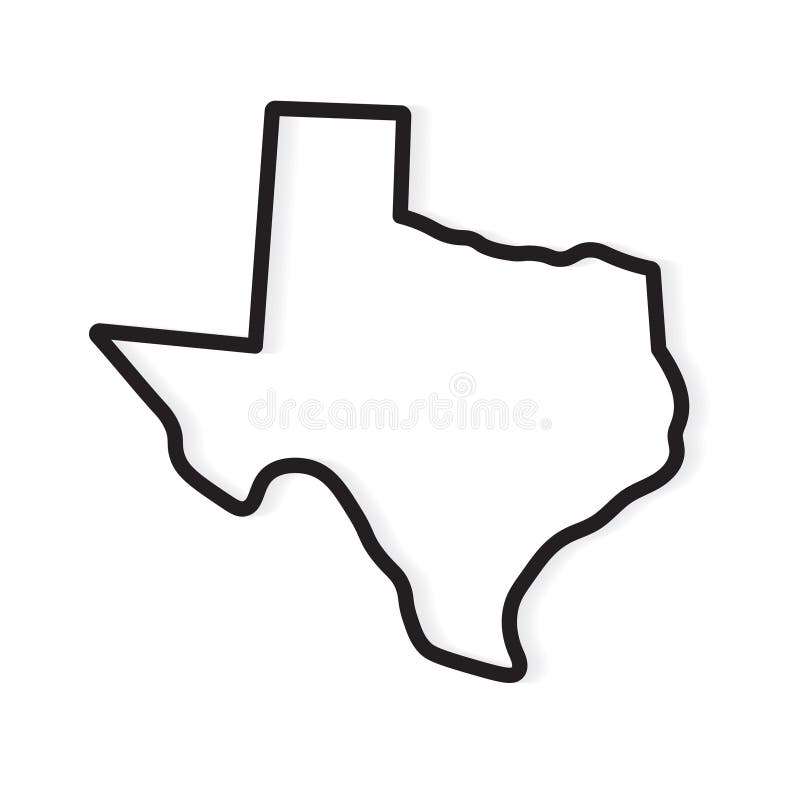
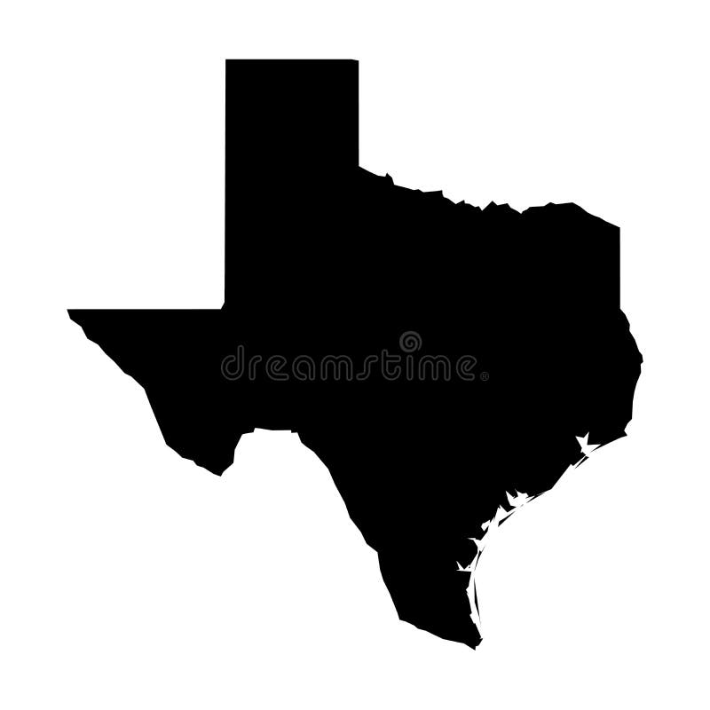
Free with trial Black outline of Texas map- vector illustration. Federal outline map vectors Black outline of Texas map
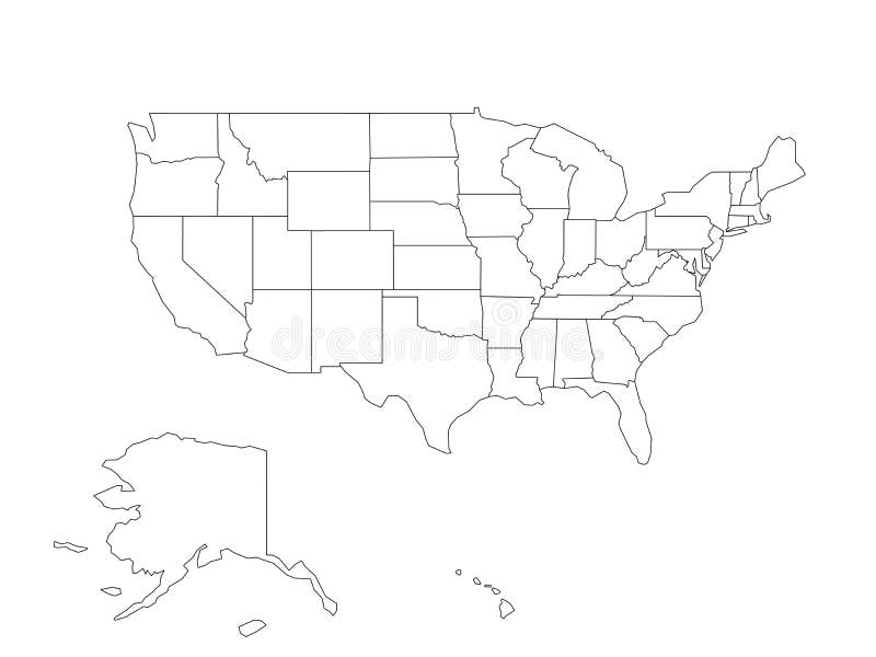
Free with trial Blank black vector outline map of USA, United States of America. Federal outline map vectors Blank black vector outline map of USA, United States of America
Free with trial Blank outline map of United States of America. Simplified vector map made of thick black outline on white background. Federal outline map vectors Blank outline map of United States of America. Simplified vector map made of thick black outline on white background
Free with trial Blank map United States of America. High quality map of USA with federal states on transparent background for your web site design, logo, app, UI. Stock vector. Vector illustration EPS10. Federal outline map vectors Blank map United States of America. High quality map of USA with federal states on transparent background for your web site design
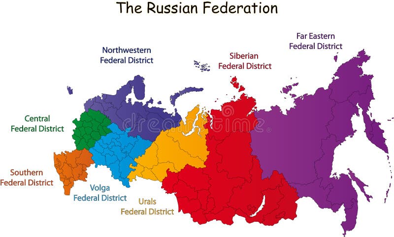
Free with trial Russian Federation designed in illustration with the federal district (Map is hight resolution). Federal outline map vectors Russian Federation map. Russian Federation designed in illustration with the federal district (Map is hight resolution)
Free with trial Pennsylvania state road map with Interstates and U. S. Highways. All elements on 4 separate layers (State Fill, State Outline, Roads, Cities) for easy editing. Source: Public domain National Planning Network ( and United States Federal Highway Administration. Federal outline map vectors Pennsylvania Interstate Map. Pennsylvania state road map with Interstates and U.S. Highways. All elements on 4 separate layers (State Fill, State Outline, Roads, Cities) for easy editing. Source: Public domain National Planning Network ( and United States Federal Highway Administration
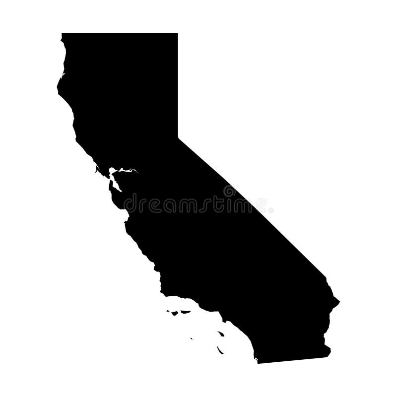
Free with trial California, state of USA - solid black silhouette map of country area. Simple flat vector illustration. Federal outline map vectors California, state of USA - solid black silhouette map of country area. Simple flat vector illustration
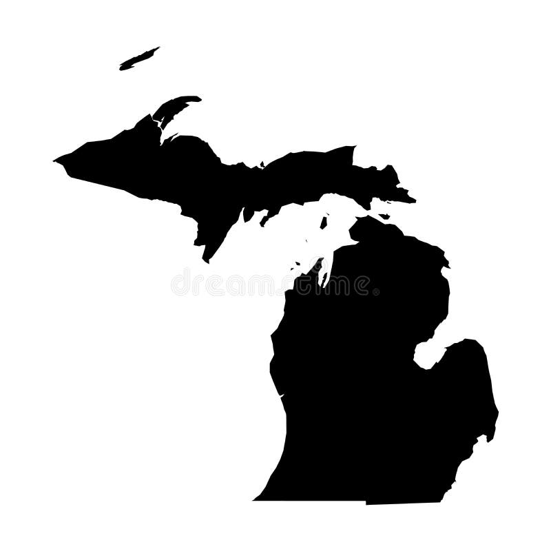
Free with trial Michigan, state of USA - solid black silhouette map of country area. Simple flat vector illustration. Federal outline map vectors Michigan, state of USA - solid black silhouette map of country area. Simple flat vector illustration
Free with trial Arkansas, state of USA - solid black silhouette map of country area. Simple flat vector illustration. Federal outline map vectors Arkansas, state of USA - solid black silhouette map of country area. Simple flat vector illustration
Free with trial US map cut-out with the flag enclosed. The image has clipping path for easy Background clean-up. Federal outline map illustrations US Flag-Map Inner Shadow. US map cut-out with the flag enclosed. The image has clipping path for easy Background clean-up
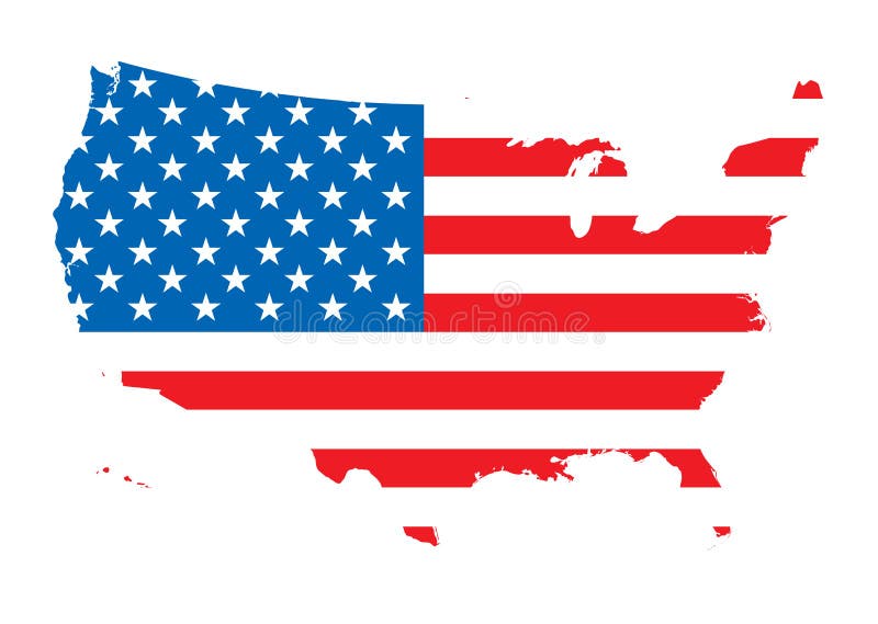
Free with trial Map of america outlined with the flag of the us. Federal outline map vectors Us map flag. Map of america outlined with the flag of the us
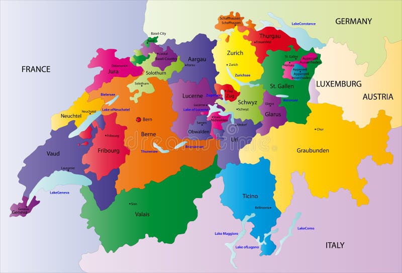
Free with trial Switzerland map designed in illustration with the regions colored in bright colors and with the main cities. Neighbouring countries are in an additional format (. AI) in the latent layer. Federal outline map vectors Switzerland map
Free with trial Illustration of the outline of USSR with the comunist flag inside. Federal outline map vectors Comunist USSR map. Illustration of the outline of USSR with the comunist flag inside.
Free with trial Switzerland map designed in illustration with the regions colored in bright colors and with the main cities. On an illustration neighbouring countries are shown too. Federal outline map vectors Vector Switzerland map. Switzerland map designed in illustration with the regions colored in bright colors and with the main cities. On an illustration neighbouring countries are shown too
Free with trial Switzerland map designed in illustration with the regions colored in green colors and with the main cities. Neighbouring countries are in an additional format (. AI) in the latent layer. Federal outline map vectors Switzerland map
Free with trial USA map cut-out, highly detailed on the edge, with waving stars & stripes underneath. Settle thickness carefully shaded following the inner shadow light source. EPS v. 10 file with neatly organised and named layers and a 24 Mpxl Q12 JPEG preview. On and off combinations on the flags 5 shading layers can produce different styles and outcomes. Transparency is used on the shading layers. Federal outline map vectors US Flag-Map Inner Shadow. USA map cut-out, highly detailed on the edge, with waving stars & stripes underneath. Settle thickness carefully shaded following the inner shadow light source. EPS v.10 file with neatly organised and named layers and a 24 Mpxl Q12 JPEG preview. On and off combinations on the flags 5 shading layers can produce different styles and outcomes. Transparency is used on the shading layers.
Free with trial Canada vector map and flag, vector illustration. Federal outline map vectors Canada vector map and flag
Free with trial Vector illustration of a map and flag from Switzerland. Federal outline map vectors Switzerland
Free with trial A political map of Austria showing the different federal states. Federal outline map vectors Austria map - federal states. A political map of Austria showing the different federal states
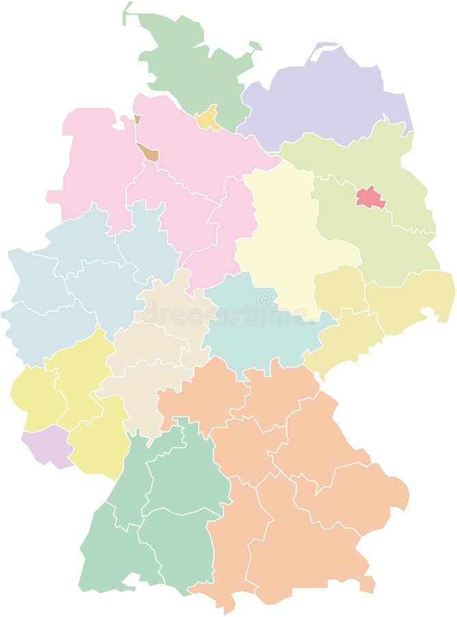
Free with trial A political map of Austria showing the different regions (based on NUTS level 2) and federal states. Federal outline map vectors Germany map - federal states and regions. A political map of Austria showing the different regions (based on NUTS level 2) and federal states
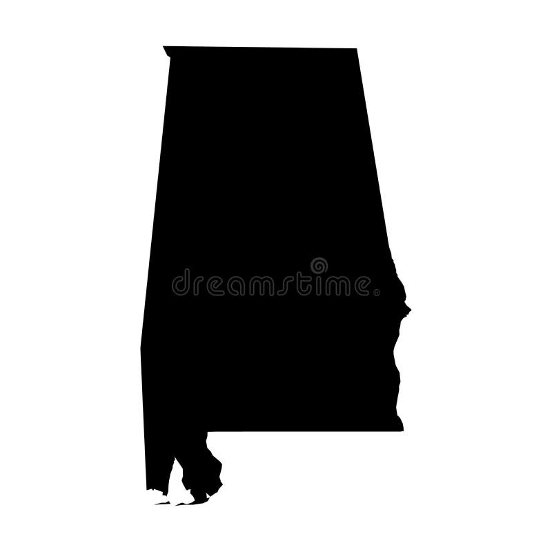
Free with trial Alabama, state of USA - solid black outline map of country area. Simple flat vector illustration. Federal outline map vectors Alabama, state of USA - solid black outline map of country area. Simple flat vector illustration
Free with trial Nevada, state of USA - solid black outline map of country area. Simple flat vector illustration. Federal outline map vectors Nevada, state of USA - solid black outline map of country area. Simple flat vector illustration
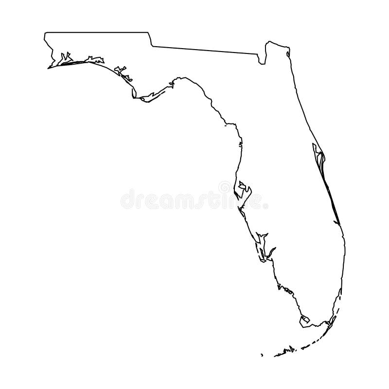
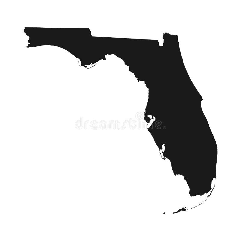
Free with trial Florida, state of USA - solid black outline map of country area. Simple flat vector illustration. Federal outline map vectors Florida, state of USA - solid black outline map of country area. Simple flat vector illustration
Free with trial Oklahoma, state of USA - solid black outline map of country area. Simple flat vector illustration. Federal outline map vectors Oklahoma, state of USA - solid black outline map of country area. Simple flat vector illustration
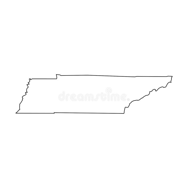
Free with trial Tennessee, state of USA - solid black outline map of country area. Simple flat vector illustration. Federal outline map vectors Tennessee, state of USA - solid black outline map of country area. Simple flat vector illustration
Free with trial Kansas, state of USA - solid black outline map of country area. Simple flat vector illustration. Federal outline map vectors Kansas, state of USA - solid black outline map of country area. Simple flat vector illustration
Free with trial Arkansas, state of USA - solid black outline map of country area. Simple flat vector illustration. Federal outline map vectors Arkansas, state of USA - solid black outline map of country area. Simple flat vector illustration
Free with trial Maryland, state of USA - solid black outline map of country area. Simple flat vector illustration. Federal outline map vectors Maryland, state of USA - solid black outline map of country area. Simple flat vector illustration
Free with trial Wisconsin, state of USA - solid black outline map of country area. Simple flat vector illustration. Federal outline map vectors Wisconsin, state of USA - solid black outline map of country area. Simple flat vector illustration
Free with trial North Carolina, state of USA - solid black outline map of country area. Simple flat vector illustration. Federal outline map vectors North Carolina, state of USA - solid black outline map of country area. Simple flat vector illustration
Free with trial Illinois, state of USA - solid black outline map of country area. Simple flat vector illustration. Federal outline map vectors Illinois, state of USA - solid black outline map of country area. Simple flat vector illustration
Free with trial Virginia, state of USA - solid black outline map of country area. Simple flat vector illustration. Federal outline map vectors Virginia, state of USA - solid black outline map of country area. Simple flat vector illustration
Free with trial Arizona, state of USA - solid black outline map of country area. Simple flat vector illustration. Federal outline map vectors Arizona, state of USA - solid black outline map of country area. Simple flat vector illustration
Free with trial Nebraska, state of USA - solid black outline map of country area. Simple flat vector illustration. Federal outline map vectors Nebraska, state of USA - solid black outline map of country area. Simple flat vector illustration
Free with trial Missouri, state of USA - solid black outline map of country area. Simple flat vector illustration. Federal outline map vectors Missouri, state of USA - solid black outline map of country area. Simple flat vector illustration
Free with trial Idaho, state of USA - solid black outline map of country area. Simple flat vector illustration. Federal outline map vectors Idaho, state of USA - solid black outline map of country area. Simple flat vector illustration
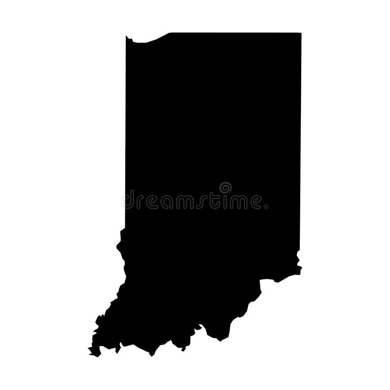
Free with trial Indiana, state of USA - solid black outline map of country area. Simple flat vector illustration. Federal outline map vectors Indiana, state of USA - solid black outline map of country area. Simple flat vector illustration
Free with trial Kentucky, state of USA - solid black outline map of country area. Simple flat vector illustration. Federal outline map vectors Kentucky, state of USA - solid black outline map of country area. Simple flat vector illustration
Free with trial Vermont, state of USA - solid black outline map of country area. Simple flat vector illustration. Federal outline map vectors Vermont, state of USA - solid black outline map of country area. Simple flat vector illustration
Free with trial Road map of the Canadian federal State with national parks. Federal outline map vectors Alberta road and national park map. Road map of the Canadian federal State with national parks
Free with trial Colorful County Map With Counties Names of the US Federal State of Virginia. Federal outline map vectors Virginia County Map. Colorful County Map With Counties Names of the US Federal State of Virginia
Free with trial Nuevo Leon United Mexican States, Mexico, federal republic map vector illustration, scribble sketch Free and Sovereign State of Nuevo León map. Federal outline map vectors Nuevo Leon map vector. Nuevo Leon United Mexican States, Mexico, federal republic map vector illustration, scribble sketch Free and Sovereign State of Nuevo León map
Free with trial Map of United state of America Territories. High detailed vector map - United state of America Territories. map shape/contour/outline/border with state isolate on white background. Federal outline map vectors Map of United state of America Territories. High detailed vector map - United state of America Territories.
Free with trial Government Shutdown Open For Business Text Outline with American USA Flag in Country Map Silhouette Illustration. Federal outline map vectors Government Shutdown USA Map Open For Business. Government Shutdown Open For Business Text Outline with American USA Flag in Country Map Silhouette Illustration
Free with trial Road map of the US American Federal State Texas with flag. Federal outline map illustrations Texas map with flag. Road map of the US American Federal State Texas with flag
Free with trial Administrative division of the the Federal Democratic Republic of Ethiopia. Federal outline map vectors Ethiopia map. Administrative division of the the Federal Democratic Republic of Ethiopia
Free with trial Administrative division of the Federal Republic of Nigeria. Federal outline map vectors Nigeria map. Administrative division of the Federal Republic of Nigeria
Free with trial Highly detailed vector map of Ethiopia with administrative regions,main cities and roads. Federal outline map vectors Ethiopia map. Highly detailed vector map of Ethiopia with administrative regions,main cities and roads.
Free with trial Map of brazil with star where the capital city brasilia is located, related to travel and education, vector file available. Federal outline map vectors Brazil map outlined with cities. Map of brazil with star where the capital city brasilia is located, related to travel and education, vector file available
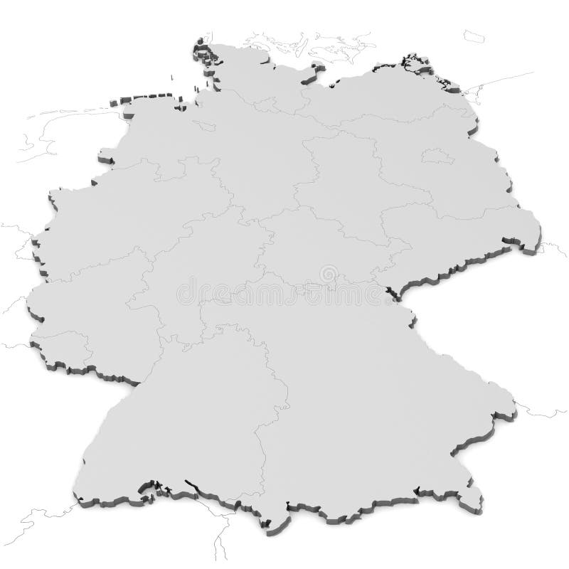
Free with trial Germany map with states in gray color. Federal outline map illustrations Germany map with states
Free with trial Germany map with states in gray color. Federal outline map illustrations Germany map with states
Free with trial Australia map - black monochrome shape. Vector illustration. Federal outline map vectors Australia map - black monochrome shape. Vector. Australia map - black monochrome shape. Vector illustration.
Free with trial White map of Australia, with states, on white background. Federal outline map illustrations Map of Australia
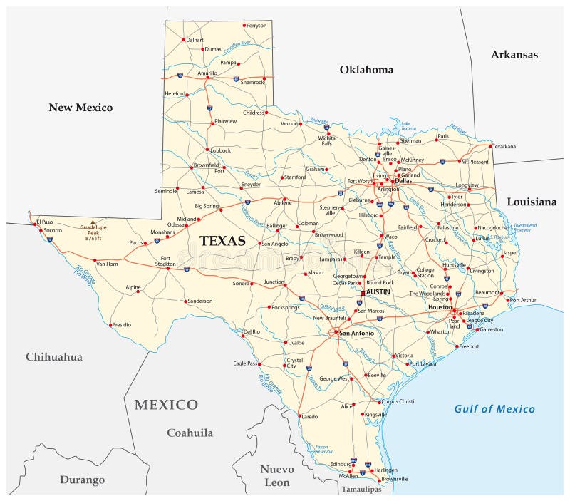
Free with trial Road map of the US American Federal State Texas. Federal outline map illustrations Texas road map. Road map of the US American Federal State Texas
Free with trial U. S. state South Dakota map Vector illustration. Federal outline map vectors South Dakota map
Free with trial United States of America 50 states and 1 federal district. US states map. Federal outline map vectors United States of America 50 states and 1 federal district. US st
Free with trial Mexico map divided into regions or states. Territory of country with regional borders, geographical division. Infographic design template. Flat vector illustration for brochure, touristic website. Federal outline map vectors Mexico map vector. Mexico map divided into regions or states. Territory of country with regional borders, geographical division. Infographic design template. Flat vector illustration for brochure, touristic website.
Free with trial Mississippi, state of USA - solid black silhouette map of country area. Simple flat vector illustration. Federal outline map vectors Mississippi, state of USA - solid black silhouette map of country area. Simple flat vector illustration
Free with trial Florida vector map silhouette. High detailed illustration. United state of America country. Federal outline map vectors Florida vector map silhouette. High detailed illustration. United state of America country
Free with trial Indiana, state of USA - solid black silhouette map of country area. Simple flat vector illustration. Federal outline map vectors Indiana, state of USA - solid black silhouette map of country area. Simple flat vector illustration
Free with trial Virginia, state of USA - solid black silhouette map of country area. Simple flat vector illustration. Federal outline map vectors Virginia, state of USA - solid black silhouette map of country area. Simple flat vector illustration
Free with trial Louisiana, state of USA - solid black silhouette map of country area. Simple flat vector illustration. Federal outline map vectors Louisiana, state of USA - solid black silhouette map of country area. Simple flat vector illustration
Free with trial Ohio, state of USA - solid black silhouette map of country area. Simple flat vector illustration. Federal outline map vectors Ohio, state of USA - solid black silhouette map of country area. Simple flat vector illustration
Free with trial Oregon, state of USA - solid black silhouette map of country area. Simple flat vector illustration. Federal outline map vectors Oregon, state of USA - solid black silhouette map of country area. Simple flat vector illustration
Free with trial United States of America map icon. black silhouette simple style high detailed isolated vector geographic template. usa map with Alaska and Hawaii. Federal outline map vectors United States of America map icon. black silhouette isolated vector geographic template. usa map with Alaska and Hawaii. United States of America map icon. black silhouette simple style high detailed isolated vector geographic template. usa map with Alaska and Hawaii
Free with trial Washington, state of USA - solid black silhouette map of country area. Simple flat vector illustration. Federal outline map vectors Washington, state of USA - solid black silhouette map of country area. Simple flat vector illustration
Free with trial Map of germany. High detailed vector map - germany. map shape/contour/outline/border with state isolate on white background. Federal outline map vectors Map of germany. High detailed vector map - germany.
Free with trial Texas, state of USA - solid black silhouette map of country area. Simple flat vector illustration. Federal outline map illustrations Texas, state of USA - solid black silhouette map of country area.
Free with trial Kentucky, state of USA - solid black silhouette map of country area. Simple flat vector illustration. Federal outline map vectors Kentucky, state of USA - solid black silhouette map of country area. Simple flat vector illustration
Free with trial Alabama, state of USA - solid black silhouette map of country area. Simple flat vector illustration. Federal outline map vectors Alabama, state of USA - solid black silhouette map of country area. Simple flat vector illustration
Free with trial Nebraska, state of USA - solid black silhouette map of country area. Simple flat vector illustration. Federal outline map vectors Nebraska, state of USA - solid black silhouette map of country area. Simple flat vector illustration
Free with trial Massachusetts, state of USA - solid black silhouette map of country area. Simple flat vector illustration. Federal outline map vectors Massachusetts, state of USA - solid black silhouette map of country area. Simple flat vector illustration
Free with trial Texas, state of USA - solid black silhouette map of country area. Simple flat vector illustration. Federal outline map vectors Texas, state of USA - solid black silhouette map of country area. Simple flat vector illustration
Free with trial Detailed US map black vector silhouette isolated on white. Federal outline map vectors Detailed US map vector silhouette. Detailed US map black vector silhouette isolated on white.
Free with trial Georgia vector map silhouette. High detailed illustration. United state of America country. Federal outline map vectors Georgia vector map silhouette. High detailed illustration. United state of America country
Free with trial Iowa, state of USA - solid black silhouette map of country area. Simple flat vector illustration. Federal outline map vectors Iowa, state of USA - solid black silhouette map of country area. Simple flat vector illustration
Free with trial Missouri, state of USA - solid black silhouette map of country area. Simple flat vector illustration. Federal outline map vectors Missouri, state of USA - solid black silhouette map of country area. Simple flat vector illustration
Free with trial Illinois, state of USA - solid black silhouette map of country area. Simple flat vector illustration. Federal outline map vectors Illinois, state of USA - solid black silhouette map of country area. Simple flat vector illustration