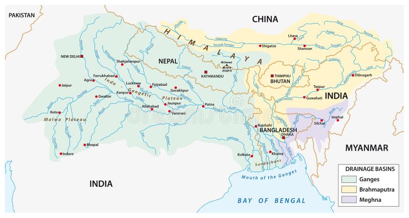
Free with trial Vector Map of the combined catchment areas of the Ganges, Brahmaputra and Meghna rivers. India geographical vectors Vector Map of the combined catchment areas of the Ganges, Brahma
Free with trial World map and Navigation Labels - highly detailed vector illustration. India geographical vectors World Map and Navigation Icons - illustration. World map and Navigation Labels - highly detailed vector illustration.
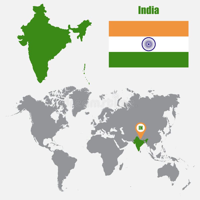
Free with trial India map on a world map with flag and map pointer. Vector illustration. India geographical vectors India map on a world map with flag and map pointer. Vector illustration
Free with trial Eurasia Europa Russia China India Indonesia Thailand Africa Map - Detailed Vector Illustration. India geographical illustrations Eurasia Europa Russia China India Indonesia Thailand Africa Map - Vector Illustration
Free with trial Eurasia Europa Russia China India Indonesia Thailand Map - Vintage Detailed Vector Illustration. India geographical illustrations Eurasia Europa Russia China India Indonesia Thailand Map - Vintage Vector Illustration
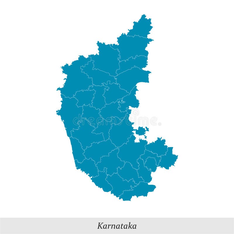
Free with trial Map of Karnataka is a state of India with borders districts. India geographical vectors Map of Karnataka is a state of India with districts. map of Karnataka is a state of India with borders districts
Free with trial Eastern half of globe with China and India in cartoon style as geographical icon or symbol. India geographical vectors Eastern half of globe with China and India in cartoon style
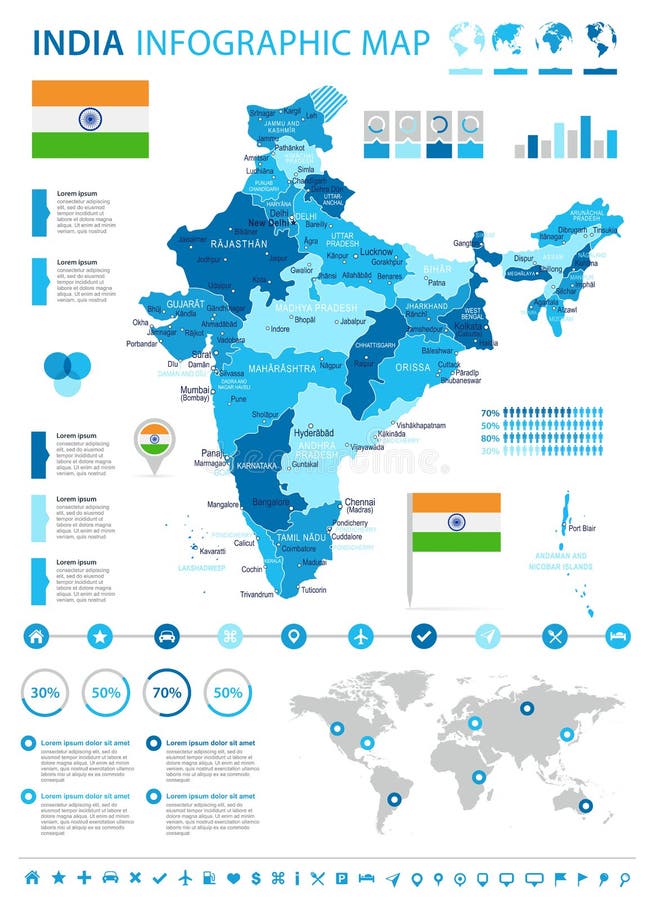
Free with trial Colorful political map of India. Administrative divisions - states and union territories. Simple flat vector map with labels. India geographical vectors India - political map of administrative divisions. Colorful political map of India. Administrative divisions - states and union territories. Simple flat vector map with labels.
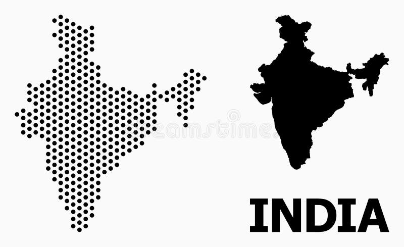
Free with trial Dot map of India composition and solid illustration. Vector map of India composition of sphere items with hexagonal geometric array on a white background. India geographical vectors Dot Mosaic Map of India. Dot map of India composition and solid illustration. Vector map of India composition of sphere items with hexagonal geometric array on a white background.
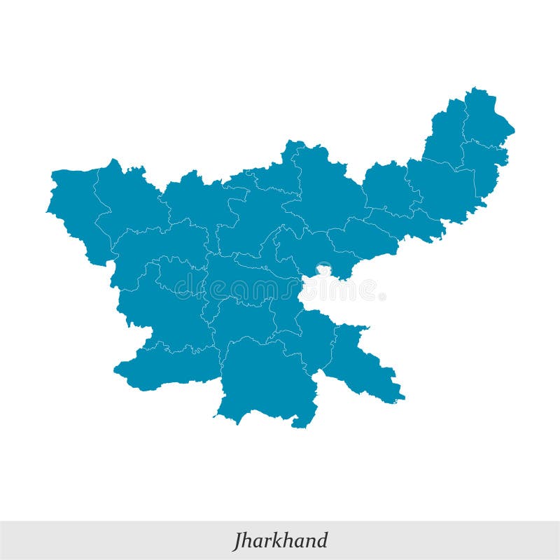
Free with trial Map of Jharkhand is a state of India with borders districts. India geographical vectors Map of Jharkhand is a state of India with districts. map of Jharkhand is a state of India with borders districts
Free with trial The detailed map of the India with regions or states. Administrative division. India geographical vectors The detailed map of the India with regions or states. Administrative division.
Free with trial India political map. Low detailed. Outline style. Vector editable. India geographical vectors India political map. Low detailed
Free with trial India political map of administrative divisions - states and union teritorries. Flat white blank map with thin black outline and dropped shadow. India geographical vectors India political map of administrative divisions
Free with trial Gold colored map design isolated on brown background of Country India - vector illustration. India geographical vectors Gold colored map design isolated on brown background of Country India - vector
Free with trial This stunning watercolor map of India features a stylized design that blends traditional cartography with artistic flair. The map showcases major cities in India, including Mumbai, Delhi, and Kolkata, while also incorporating colorful paint splatters that give the image a dynamic and expressive feel. The use of watercolor techniques adds a softness to the map, creating a sense of warmth and accessibility that invites viewers to explore India's rich cultural heritage. Whether used for educational or decorative purposes, this map is sure to inspire curiosity and appreciation for India's diverse landscapes, landmarks, and traditions. India geographical illustrations Stylized Watercolor Map of India with Cities and Paint Splatters. This stunning watercolor map of India features a stylized design that blends traditional cartography with artistic flair. The map showcases major cities in India, including Mumbai, Delhi, and Kolkata, while also incorporating colorful paint splatters that give the image a dynamic and expressive feel. The use of watercolor techniques adds a softness to the map, creating a sense of warmth and accessibility that invites viewers to explore India's rich cultural heritage. Whether used for educational or decorative purposes, this map is sure to inspire curiosity and appreciation for India's diverse landscapes, landmarks, and traditions.
Free with trial This captivating image showcases the vibrant tapestry of Indian cuisine. A detailed outline map of India forms the backdrop, highlighting the geographical diversity that mirrors the wide range of flavors and ingredients. The photograph beautifully juxtaposes various regional dishes, meticulously arranged to capture their unique aesthetic appeal and cultural significance. From aromatic curries. India geographical illustrations Exploring Indias Culinary Landscape A Visual Feast of Regional Dishes Spices and Ingredients Depicting the Rich. This captivating image showcases the vibrant tapestry of Indian cuisine. A detailed outline map of India forms the backdrop, highlighting the geographical diversity that mirrors the wide range of flavors and ingredients. The photograph beautifully juxtaposes various regional dishes, meticulously arranged to capture their unique aesthetic appeal and cultural significance. From aromatic curries
Free with trial World globe map with the identication of India. Map of India. India on grey political 3D globe. Asia map. Vector stock. India geographical vectors World globe map with the identication of India.
Free with trial India Map Flag Fill Background - Vector illustation. Illustration. India geographical illustrations India Map Flag Fill Background - Vector illustation
Free with trial Map of India with rivers and lakes, national flag of India, world map as background. Map consists of separate maps of federal states and union territories that can be used separately. Please look at my other images of cartographic series - they are all very detailed and carefully drawn by hand WITH RIVERS AND LAKES. India geographical vectors Map of India with rivers and lakes. Map of India with rivers and lakes, national flag of India, world map as background. Map consists of separate maps of federal states and union territories that can be used separately. Please look at my other images of cartographic series - they are all very detailed and carefully drawn by hand WITH RIVERS AND LAKES.
Free with trial India map and flag - highly detailed illustration. India geographical illustrations India - map and flag - illustration. India map and flag - highly detailed illustration
Free with trial India map and flag - highly detailed illustration. India geographical illustrations India - map and flag - infographic illustration. India map and flag - highly detailed illustration
Free with trial India map and flag - highly detailed illustration. India geographical illustrations India - map and flag - infographic illustration. India map and flag - highly detailed illustration
Free with trial India map and flag - highly detailed illustration. India geographical illustrations India - map and flag - infographic illustration. India map and flag - highly detailed illustration
Free with trial Flags states of India. Vector illustraion. flag set. India geographical illustrations Flags states of India
Free with trial British Raj 1858-1947 Flag Waving Vector Illustration on White Background. East India Company Flag. India geographical vectors British Raj 1858-1947 Flag Waving Vector Illustration on White Background. East India Company Flag
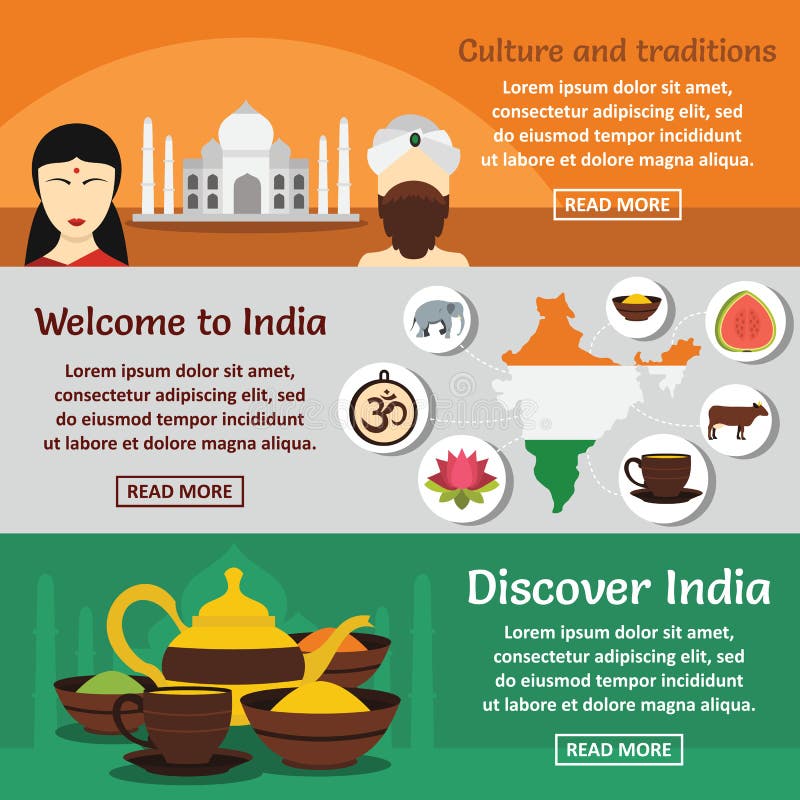
Free with trial India travel banner horizontal concept set. Flat illustration of 3 India travel vector banner horizontal concepts for web. India geographical vectors India travel banner horizontal set, flat style. India travel banner horizontal concept set. Flat illustration of 3 India travel vector banner horizontal concepts for web
Free with trial Flight from USA to India above world map. Airplane arrives to India. The world map. Airplane line path. Vector illustration. EPS 10. India geographical vectors Flight from USA to India above world map. Airplane arrives to India. The world map. Airplane line path. Vector illustration. EPS
Free with trial Flight from USA to India above world map. Airplane arrives to India. The world map. Airplane line path. Vector illustration. EPS 10. India geographical vectors Flight from USA to India above world map. Airplane arrives to India. The world map. Airplane line path. Vector illustration. EPS
Free with trial British Raj 1858-1947 Flag Waving Vector Illustration on White Background. East India Company Flag. India geographical vectors British Raj 1858-1947 Flag Waving Vector Illustration on White Background. East India Company Flag.
Free with trial India travel icons set. Simple illustration of 16 India travel vector icons for web. India geographical vectors India travel icons set, simple style. India travel icons set. Simple illustration of 16 India travel vector icons for web
Free with trial India Flag Waving 1931 Vector Illustration on White Background. Swaraj Flag Officially Adopted By The Indian National Congress in 1931. India geographical vectors India Flag Waving 1931 Vector Illustration on White Background. Swaraj Flag
Free with trial Magnified India over Map of the World, 3 versions of the World Map with flag and map of India. Vector Illustration. India geographical vectors Magnified India over Map of the World, 3 versions of the World Map with flag and map of India
Free with trial Landmarks of India icon set. Flat style set of 9 landmarks of India vector icons for web isolated on white background. India geographical vectors Landmarks of India icon set, flat style. Landmarks of India icon set. Flat style set of 9 landmarks of India vector icons for web isolated on white background
Free with trial British East India Company 1733-1833 Flag Waving Vector Illustration on White Background. Indian Historical Flag. India geographical vectors British East India Company 1733-1833 Flag Waving Vector Illustration on White Background
Free with trial British East India Company. India and Southeast Asia colonization. Trade company selling goods and slaves. Development of the seafaring and international trade. Flat vector illustration. India geographical vectors British East India Company. India and Southeast Asia colonization.
Free with trial White silhouette of Karnataka, a state in India, overlaid on a two-color background. The top half is yellow and the bottom half is red, reflecting the flag colors associated with Karnataka. The map is centered, showing the state's distinct geographical outline. India geographical vectors Karnataka map State of India Isolate on State flag background. White silhouette of Karnataka, a state in India, overlaid on a two-color background. The top half. White silhouette of Karnataka, a state in India, overlaid on a two-color background. The top half is yellow and the bottom half is red, reflecting the flag colors associated with Karnataka. The map is centered, showing the state's distinct geographical outline.
Free with trial Division of India. new states name in India. India map 2020. all new states name in India map with full details. India geographical vectors Division of India. new states name in India. India map 2020. all new states name in India map
Free with trial Himachal Pradesh map. Himachal Pradesh in India map Vector illustration with HD image of map. India geographical vectors Himachal pradesh in India map. Himachal pradesh map. Himachal Pradesh map. Himachal Pradesh in India map Vector illustration with HD image of map
Free with trial Vector set geographical countries, continents and sports balls. India geographical vectors Vector set geographical countries, continents
Free with trial Blue panoramic city skyline poster with bluish misty transparent background buildings of NEW DELHI, INDIA. India geographical vectors Blue panoramic city skyline poster of NEW DELHI, INDIA. Blue panoramic city skyline poster with bluish misty transparent background buildings of NEW DELHI, INDIA
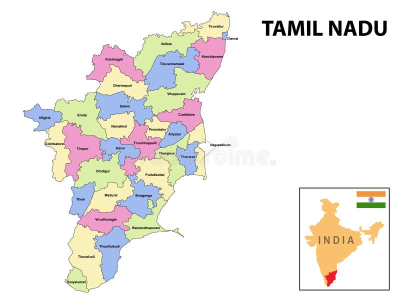
Free with trial Tamil nadu map. District ways map of tamil nadu with name. Vector illustration of Tamilnadu geographical map. New and original design with showing border line and name. India geographical vectors Tamil nadu map. District ways map of tamil nadu with name. Vector illustration of Tamilnadu geographical map. New and original
Free with trial Blue panoramic city skyline poster with bluish misty transparent background buildings of NEW DELHI, INDIA. India geographical vectors Blue panoramic city skyline poster of NEW DELHI, INDIA. Blue panoramic city skyline poster with bluish misty transparent background buildings of NEW DELHI, INDIA
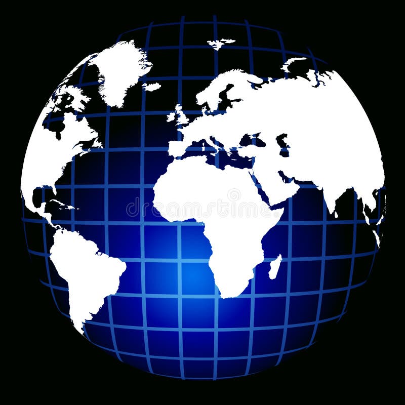
Free with trial Blue world globe isolated on black background. India geographical illustrations WORLD GLOBE
Free with trial Eurasia Political Map. Highly detailed vector illustration of map. India geographical vectors Eurasia Political Map
Free with trial The World Map with countries and cities from screen. India geographical illustrations World Map from screen. The World Map with countries and cities from screen.
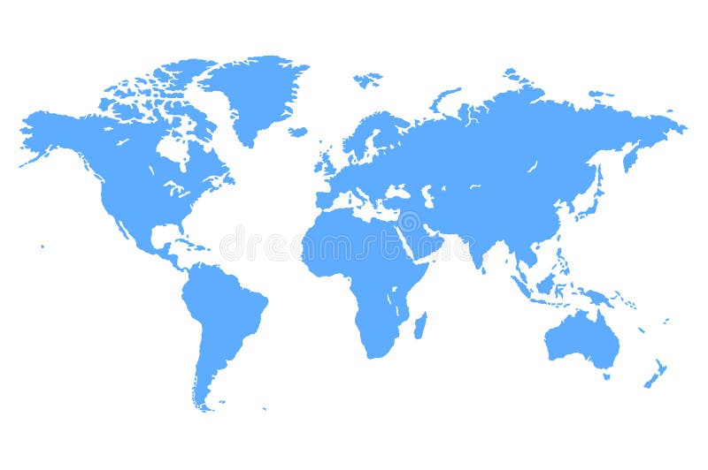
Free with trial High quality Blue simple vector map of the world. India geographical vectors Blue Vector World Map. High quality Blue simple vector map of the world
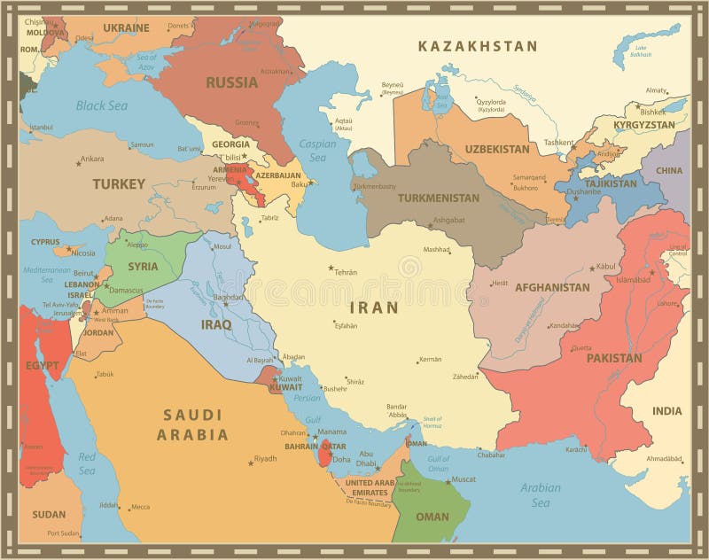
Free with trial Southwest Asia Map Retro Color. Detailed map of South West Asia. India geographical vectors Southwest Asia Map Retro Color
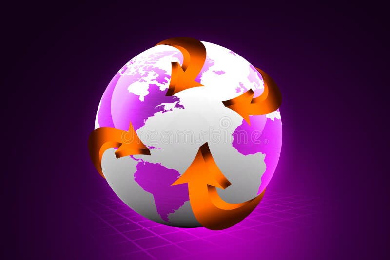
Free with trial Globe with arrows on abstract background. India geographical illustrations Globe with arrows
Free with trial Illustration art of a global logo with isolated background. India geographical vectors Global logo
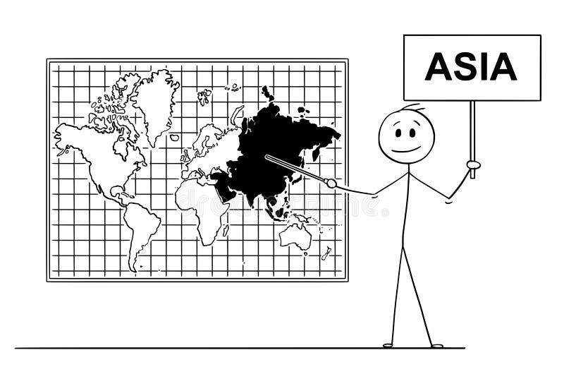
Free with trial Cartoon stick drawing conceptual illustration of man holding a sign and using pointer and pointing at Asia continent on big wall world map. India geographical vectors Cartoon of Man Holding a Sign and Pointing at Asia Continent on Wall World Map. Cartoon stick drawing conceptual illustration of man holding a sign and using pointer and pointing at Asia continent on big wall world map.
Free with trial Eurasia Map Vintage Color. Highly detailed vector illustration of map. India geographical vectors Eurasia Map Vintage Color
Free with trial Old pirate map. ragged paper. India geographical vectors Old map. Old pirate map. ragged paper
Free with trial Eurasia map in aqua blue colors. Highly detailed vector illustration of map. India geographical vectors Eurasia map in aqua blue colors
Free with trial Southwest Asia Map Vintage Color. Detailed map of South West Asia. India geographical vectors Southwest Asia Map Vintage Color
Free with trial Eurasia map and navigation icons. Highly detailed vector illustration of map. India geographical vectors Eurasia map and navigation icons
Free with trial Eurasia political map isolated on white. Highly detailed vector illustration of map. India geographical vectors Eurasia political map isolated on white
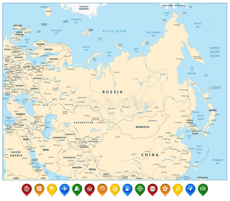
Free with trial Eurasia political map and flat map pointers. Highly detailed vector illustration of map. India geographical vectors Eurasia political map and flat map pointers
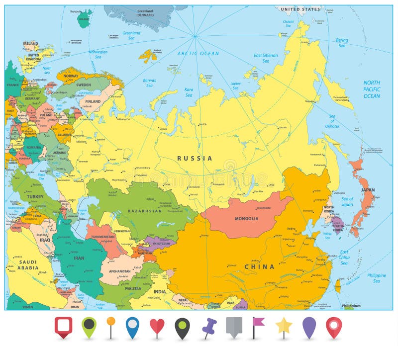
Free with trial Eurasia detailed map and colorful map pointers. Highly detailed vector illustration of map. India geographical vectors Eurasia detailed map and colorful map pointers.
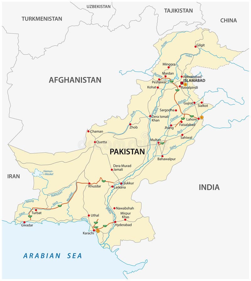
Free with trial Islamic Republic of Pakistan road vector map. India geographical vectors Islamic Republic of Pakistan road vector map
Free with trial Southeast Asia Map Detailed Vintage Colors on a Parchment Background. India geographical vectors Southeast Asia Map Detailed Vintage Colors
Free with trial America Centered World Map. Highly detailed illustration of Physical World Map. India geographical vectors America Centered World Map
Free with trial High resolution satellite view of Planet Earth,focused on East Asia - 3D illustration,elements of this image furnished by NASA. India geographical illustrations Satellite view of East Asia. High resolution satellite view of Planet Earth,focused on East Asia - 3D illustration,elements of this image furnished by NASA
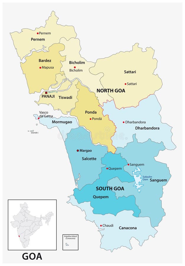
Free with trial Administrative and political vector map of the Indian state of Goa. India geographical vectors Administrative and political vector map of the Indian state of Goa
Free with trial South East Asia region detailed editable map with countries cities and towns. Vector EPS-10 file. India geographical vectors South East Asia region detailed editable map
Free with trial Democratic Socialist Republic of Sri Lanka Railway map. India geographical vectors Democratic Socialist Republic of Sri Lanka Railway map
Free with trial World Map - Highly Detailed Vector Map of the World. Ideally for the Print Posters. Warm Vintage Colors. Retro Style. India geographical vectors World Map - Highly Detailed Vector Map of the World. Ideally for the Print Posters. Warm Vintage Colors. Retro Style
Free with trial Southeast Asia Map - Detailed Info Graphic Vector Illustration. India geographical illustrations Southeast Asia Map - Info Graphic Vector Illustration
Free with trial Asia map - highly detailed vector illustration. Image contains land contours, country and land names, city names, water object names, navigation icons. India geographical vectors Asia - map and navigation labels - illustration. Asia map - highly detailed vector illustration. Image contains land contours, country and land names, city names, water object names, navigation icons.
Free with trial Central Asia region detailed editable map with regions cities and towns, roads and railways. Vector EPS-10 file. India geographical illustrations Central Asia region detailed editable map
Free with trial Old Topographical Map (Expedition background). Travel and nautical theme grunge background. Old world map vintage pattern. India geographical illustrations Old world map vintage pattern
Free with trial World Map - Highly Detailed Vector Map of the World. Ideally for the Print Posters. Black Golden Beige Retro Style. With Relief. India geographical vectors World Map - Highly Detailed Vector Map of the World. Ideally for the Print Posters. Black Golden Beige Retro Style. With Relief
Free with trial Caucasus and Central Asia Map - Vintage Detailed Vector Illustration. India geographical illustrations Caucasus and Central Asia Map - Vintage Vector Illustration
Free with trial ASIA map - highly detailed vector illustration. Image contains land contours, country and land names, city names, water object names, navigation icons. India geographical vectors Asia - map and navigation labels - illustration. ASIA map - highly detailed vector illustration. Image contains land contours, country and land names, city names, water object names, navigation icons.
Free with trial Asia map - highly detailed vector illustration. Image contains land contours, country and land names, city names, water object names, navigation icons. India geographical vectors Asia - map and navigation labels - illustration. Asia map - highly detailed vector illustration. Image contains land contours, country and land names, city names, water object names, navigation icons.
Free with trial Caucasus and Central Asia Map - Detailed Info Graphic Vector Illustration. India geographical illustrations Caucasus and Central Asia Map - Info Graphic Vector Illustration
Free with trial East Asia and Oceania Map - Detailed Vector Illustration. India geographical illustrations East Asia and Oceania Map - Vector Illustration. East Asia and Oceania Map - Detailed Vector Illustration
Free with trial America Centered Physical World Map. No text and borders. Highly detailed illustration of Physical World Map. India geographical vectors America Centered Physical World Map. No text and borders
Free with trial Southeast Asia Map - Detailed Info Graphic Vector Illustration. India geographical illustrations Southeast Asia Map - Info Graphic Vector Illustration
Free with trial World Map - Highly Detailed Vector Map of the World. Ideally for the Print Posters. Dark Blue Golden Beige Retro Style. With. India geographical vectors World Map - Highly Detailed Vector Map of the World. Ideally for the Print Posters. Dark Blue Golden Beige Retro Style. With