Free with trial Road trip design elements,travel icon set. Infographic forrest vectors Road trip packing list infographic elements. Road trip design elements,travel icon set
Free with trial A man run in the forrest, Trail running, Infographic elements, Vector illustration. Infographic forrest vectors A man run in the forrest, Trail running, Infographic elements. A man run in the forrest, Trail running, Infographic elements, Vector illustration.
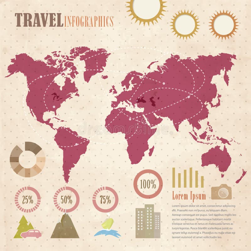
Free with trial Travel retro infographics elements on paper background. Infographic forrest vectors Travel infographics. Travel retro infographics elements on paper background.
Free with trial Isometric flat landscape with mountains and camping tent next to the fire. Camp in the middle of the forrest vector illustration. Infographic forrest vectors Isometric landscape with mountains. Isometric flat landscape with mountains and camping tent next to the fire. Camp in the middle of the forrest vector illustration
Free with trial Isometric flat landscape with road, mountains and camping tent next to the fire. Camp in the middle of the forrest vector illustration. Infographic forrest vectors Isometric flat landscape with road and mountains. Isometric flat landscape with road, mountains and camping tent next to the fire. Camp in the middle of the forrest vector illustration
Free with trial Forrest (Illinois) blank outline map. Infographic forrest vectors Forrest outline map. Forrest (Illinois) blank outline map
Free with trial Pine Belt, also known as Piney Woods, a region in Southeast Mississippi, political map. The region get its name from longleaf pine trees, abundant in nine counties, in the map highlighted in green. Infographic forrest vectors Pine Belt, Piney Woods, region of Southeast Mississippi, map. Pine Belt, also known as Piney Woods, a region in Southeast Mississippi, political map. The region. Pine Belt, also known as Piney Woods, a region in Southeast Mississippi, political map. The region get its name from longleaf pine trees, abundant in nine counties, in the map highlighted in green.
Free with trial Pine Belt, or Piney Woods, a region in Southeast Mississippi, political map. The region includes nine counties, highlighted in dark green, and get its name from longleaf pine trees, that are abundant. Infographic forrest vectors Pine Belt, or Piney Woods, region in Mississippi, political map. Pine Belt, or Piney Woods, a region in Southeast Mississippi, political map. The region includes nine counties, highlighted in dark green, and get its name from longleaf pine trees, that are abundant.
Free with trial Mississippi, U. S. state, political map with borders and county names. State in the Southeastern region of the United States, subdivided into 82 counties. Nicknamed The Magnolia and Hospitality State. Infographic forrest vectors Mississippi, U.S. state, subdivided into 82 counties, political map. Mississippi, U.S. state, political map with borders and county names. State in the Southeastern region of the United States, subdivided into 82 counties. Nicknamed The Magnolia and Hospitality State.
Free with trial Large and detailed map of St. Francis County in Arkansas, USA. Infographic forrest vectors Map of St. Francis County in Arkansas, USA.
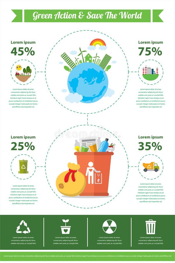
Free with trial This is go green infographic design. file. Infographic forrest vectors Go green infographic
Free with trial Trip design elements, travel icon set vector illustration. Infographic forrest vectors Trip design elements, travel icon set
Free with trial Trip design elements, travel icon set vector illustration. Infographic forrest vectors Trip design elements, travel icon set
Free with trial Trip design elements, travel icon set vector illustration. Infographic forrest vectors Trip design elements, travel icon set
Free with trial Trip design elements, travel icon set vector illustration. Infographic forrest vectors Trip design elements, travel icon set
Free with trial Trip design elements, travel icon set vector illustration. Infographic forrest vectors Trip design elements, travel icon set
Free with trial Trip design elements, travel icon set vector illustration. Infographic forrest vectors Trip design elements, travel icon set
Free with trial Isometric landscape with road, mountains and camping tent next to the beach. Camp in the middle of the forrest vector illustration. Infographic forrest vectors Isometric landscape with road and mountains. Isometric landscape with road, mountains and camping tent next to the beach. Camp in the middle of the forrest vector illustration
Free with trial Isometric flat landscape with road and camping tent next to the fire. Camp in the middle of the forrest vector illustration. Infographic forrest vectors Isometric flat landscape
Free with trial Map of St. Francis County in Arkansas, USA arranged in a circle. Infographic forrest vectors Map of St. Francis County in Arkansas, USA. Map of St. Francis County in Arkansas, USA arranged in a circle.
Free with trial Large and detailed map of St. Francis County in Arkansas, USA. Infographic forrest vectors Map of St. Francis County in Arkansas, USA.
Free with trial Large and detailed map of Saint Francis county in Arkansas, USA. Infographic forrest vectors Map of St. Francis County in Arkansas. Large and detailed map of Saint Francis county in Arkansas, USA.
Free with trial Map on an old playing card of St. Francis county in Arkansas, USA. Infographic forrest vectors Map of St. Francis County in Arkansas. Map on an old playing card of St. Francis county in Arkansas, USA.
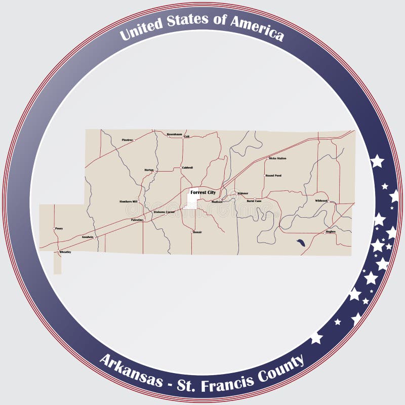
Free with trial Round button with detailed map of St. Francis County in Arkansas, USA. Infographic forrest vectors Map of St. Francis County in Arkansas
Free with trial Large and accurate map of St. Francis County, Arkansas, USA with vintage colors. Infographic forrest vectors Vintage map of St. Francis County in Arkansas, USA. Large and accurate map of St. Francis County, Arkansas, USA with vintage colors.