Free with trial Detailed physical maps of United States showing Great Lakes and major bays; maps show US with progressively more features: Mississippi river Basin, state borders, and both. Major bays illustrations Four versions of physical map of United States. Detailed physical maps of United States showing Great Lakes and major bays; maps show US with progressively more features: Mississippi river Basin, state borders, and both
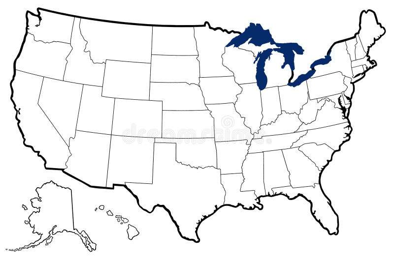
Free with trial Detailed outline map of United States showing state borders, Great Lakes, and major bays. Major bays illustrations Outline Map of United States
Free with trial Detailed outline map of United States showing state borders, Great Lakes, and major bays; map uses six bright colors. Major bays illustrations Map of United States with state names. Detailed outline map of United States showing state borders, Great Lakes, and major bays; map uses six bright colors
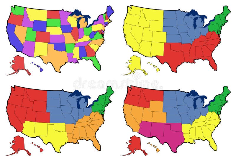
Free with trial Detailed outline map of United States showing state borders, Great Lakes, and major bays; maps divide US into individual states, four regions, five regions, and six regions. Major bays illustrations Four versions of regional map of United States. Detailed outline map of United States showing state borders, Great Lakes, and major bays; maps divide US into individual states, four regions, five regions, and six regions
Free with trial A vibrant, colorful political map of Asia, highlighting country borders, major cities, and significant bodies of water. The map features illustrated trade routes, indicating global commerce and connectivity. A key explains symbols for countries, borders, trade, and resources. A population density bar chart provides demographic insights for the region. This map is ideal for educational purposes, geopolitical analysis, and illustrating international trade and demographics. Major bays vectors Political Map of Asia with Trade Routes and Population Density. A vibrant, colorful political map of Asia, highlighting country borders, major cities, and. A vibrant, colorful political map of Asia, highlighting country borders, major cities, and significant bodies of water. The map features illustrated trade routes, indicating global commerce and connectivity. A key explains symbols for countries, borders, trade, and resources. A population density bar chart provides demographic insights for the region. This map is ideal for educational purposes, geopolitical analysis, and illustrating international trade and demographics.
Free with trial This image is a detailed world map that showcases the continents and oceans of the Earth. It includes the outlines of all the continents, major oceans, and significant landmasses. The map is color-coded to differentiate between land and water, providing a clear visual representation of the world's geography. Notable regions such as Europe, Asia, Africa, North America, South America, Australia, and. Major bays illustrations Detailed world map highlighting continents and oceans. This image is a detailed world map that showcases the continents and oceans of the Earth. It includes the outlines of all the continents, major oceans, and significant landmasses. The map is color-coded to differentiate between land and water, providing a clear visual representation of the world's geography. Notable regions such as Europe, Asia, Africa, North America, South America, Australia, and