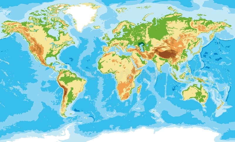
Free with trial Highly detailed physical map of the world,in vector format,with all the relief forms,countries and big cities. Map australasia vectors Physical map of the world
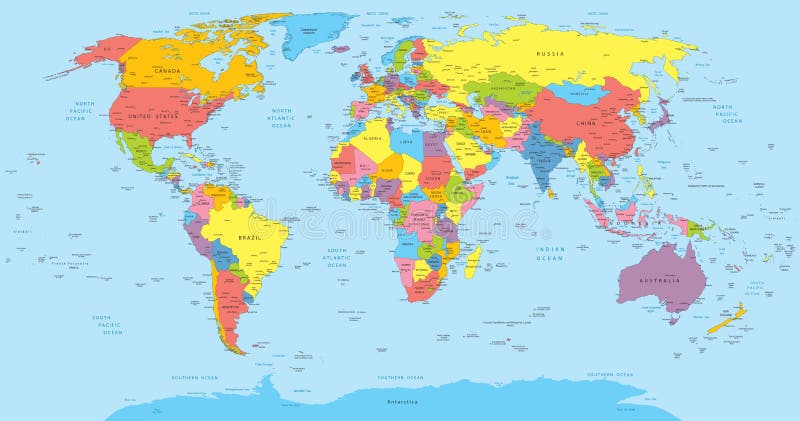
Free with trial Vector illustration of a High Detail Political Map of the world with different colors for each country. Each country has its capital and major cities. All seas and major lakes are named. Global colors used. All elements are separated in editable layers. Map australasia vectors World map with countries, country and city names. Vector illustration of a High Detail Political Map of the world with different colors for each country. Each country has its capital and major cities. All seas and major lakes are named. Global colors used. All elements are separated in editable layers.
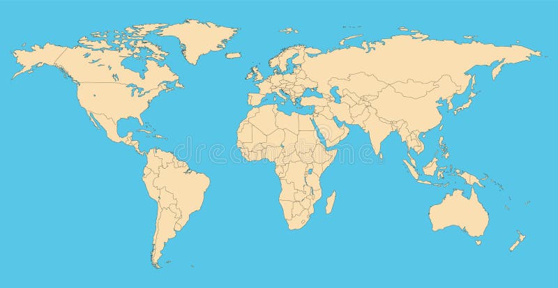
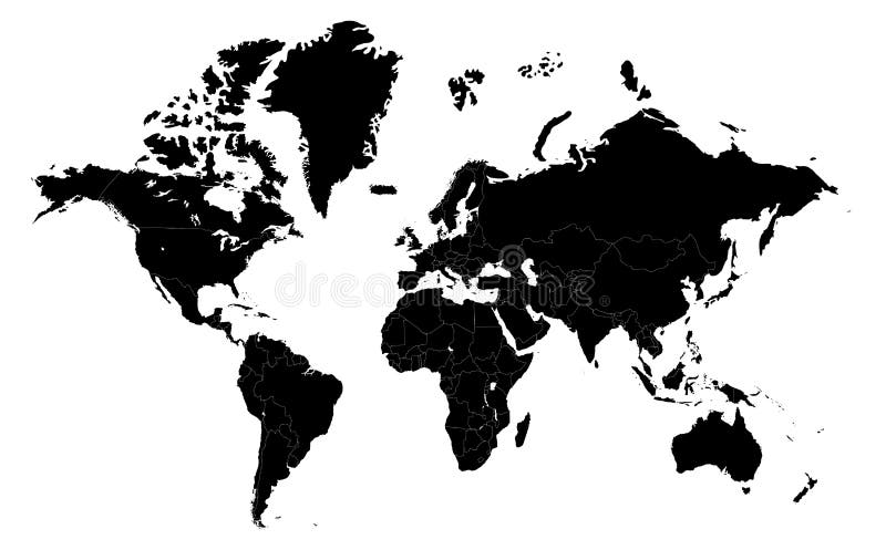
Free with trial World map with countries borders. Worldmap background for reports and infographics. Map australasia vectors World map with countries borders.
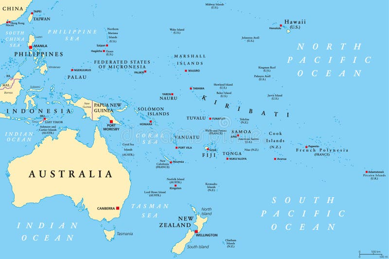
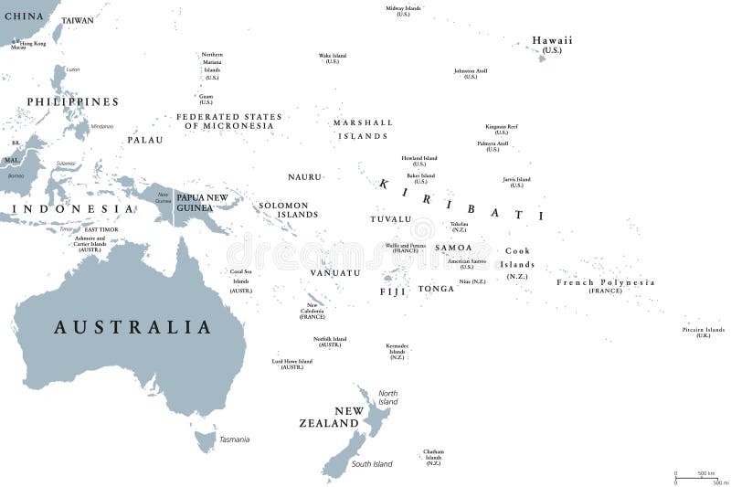
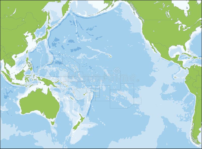
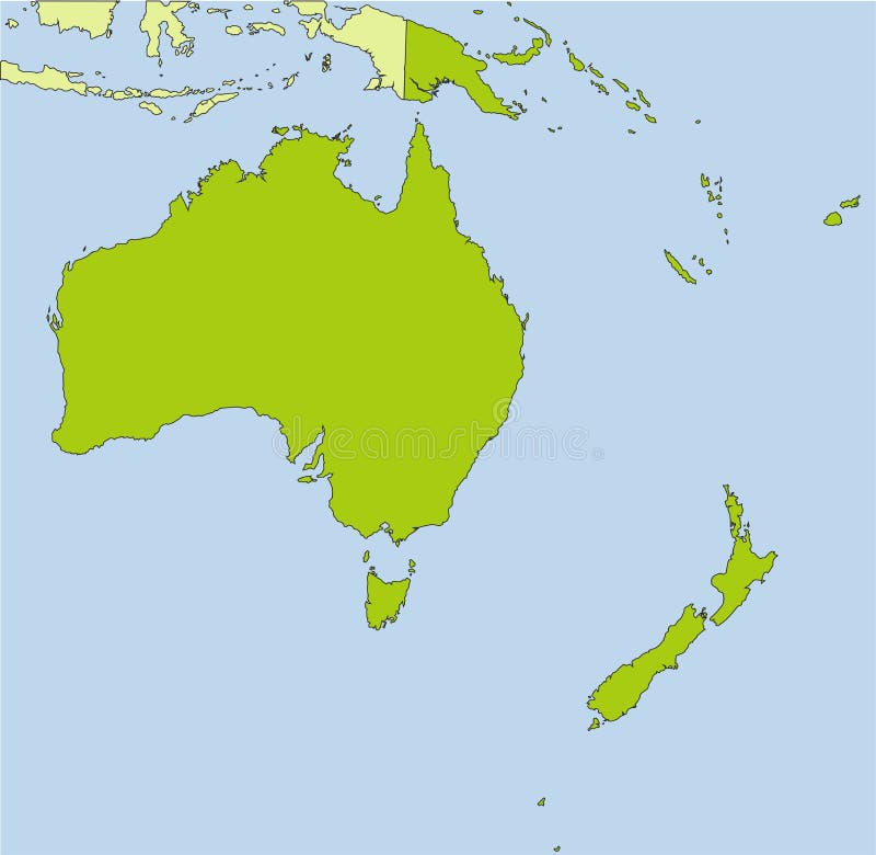
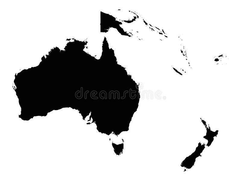
Free with trial Oceania political map. Region, centered on central Pacific Ocean islands. With Melanesia, Micronesia and Polynesia, including Australasia and Malay Archipelago. Illustration. English labeling. Vector. Map australasia vectors Oceania political map
Free with trial Highly detailed physical map of the world,in vector format,with all the relief forms. Map australasia vectors Physical map of the world
Free with trial Globe with glass effect in blue - australia & asia. Map australasia illustrations Blue glass globe. Globe with glass effect in blue - australia & asia
Free with trial World map made like a logo on brushed metal. Map australasia illustrations World map made like a logo on brushed metal
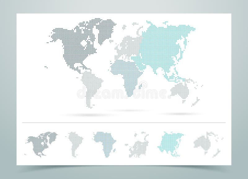
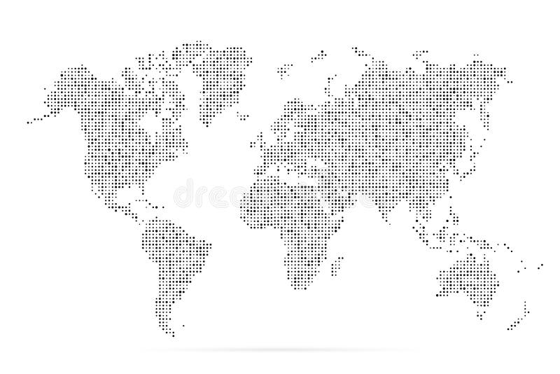
Free with trial World Map Dotted Vector With Continents on a white background with editable transparent Drop shadows made in illustrator. Map australasia vectors World Map Dotted Vector With Continents
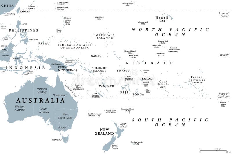
Free with trial Oceania political map with countries. English labeling. Region, comprising Australia and the Pacific islands with the regions Melanesia, Micronesia and Polynesia. Gray illustration over white. Vector. Map australasia vectors Oceania political map
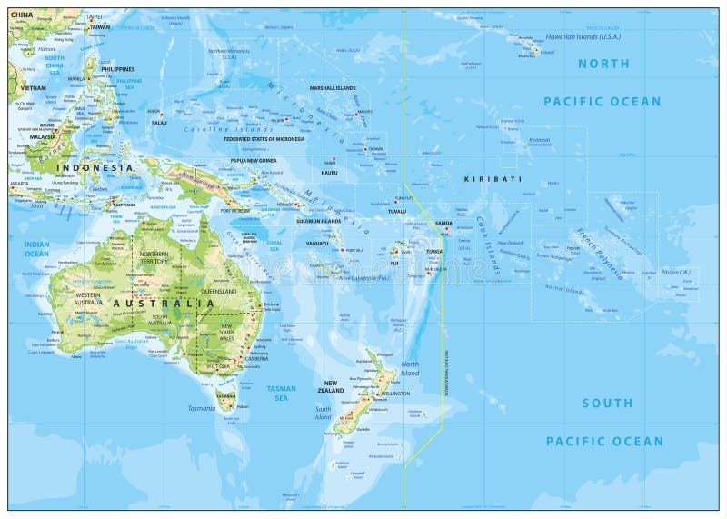
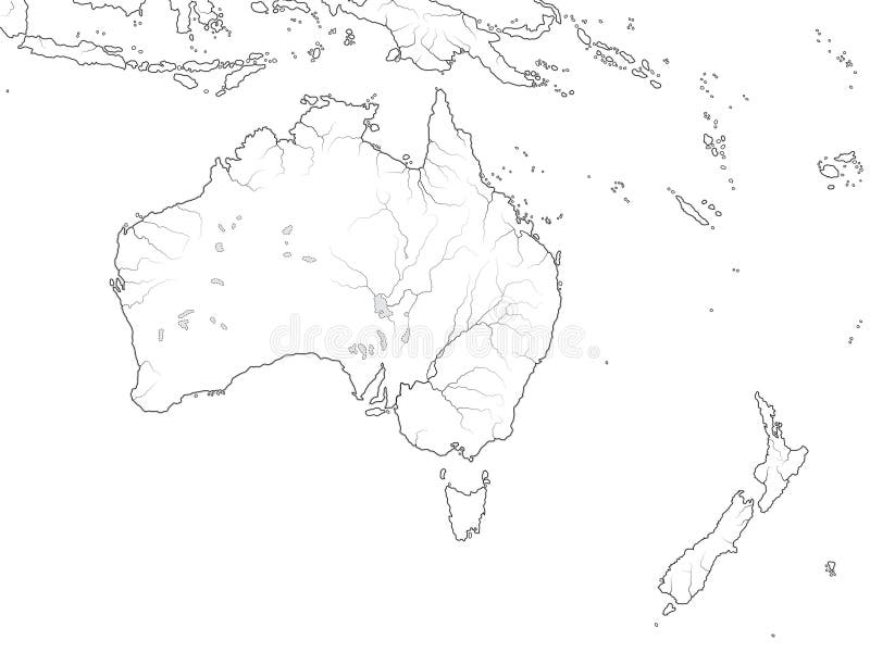
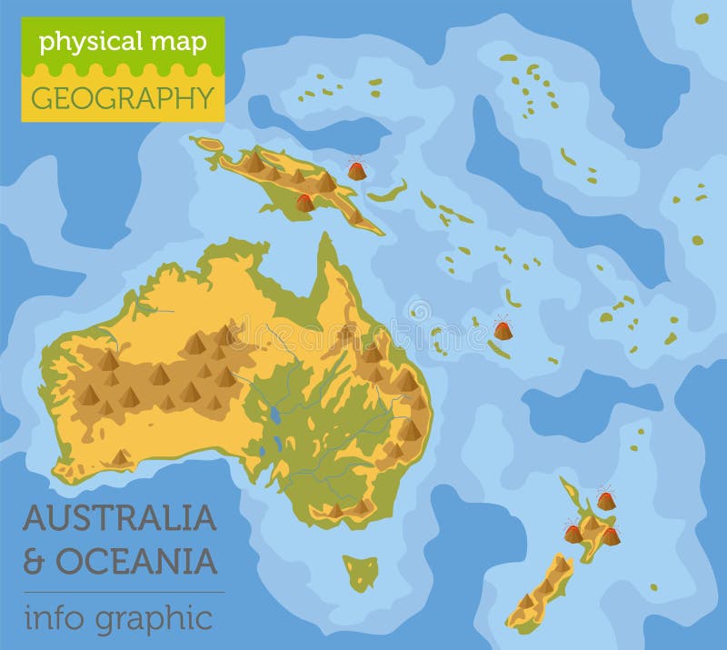
Free with trial Relief Map of Oceania. Names, town marks and national borders are in separate layers. Map australasia vectors Relief Map of Oceania
Free with trial Vector illustration of a NEW 2011 High Detail Political Map of the world with different colors for each continent and variations for each country. Global colors used, easy to edit. Map australasia vectors World map continents multicolored. Vector illustration of a NEW 2011 High Detail Political Map of the world with different colors for each continent and variations for each country. Global colors used, easy to edit.
Free with trial Oceania, also known as Oceanica, is a region centred on the islands of the tropical Pacific Ocean. Map australasia vectors Map of Oceania. Oceania, also known as Oceanica, is a region centred on the islands of the tropical Pacific Ocean.
Free with trial Flags of the World, Oceania illustration. Map australasia vectors Flags of the World, Australasia. Flags of the World, Oceania illustration
Free with trial Set of vector graphic flat icons representing symbols and landmarks of Australia. Map australasia vectors Australia Flat Icon Set. Set of vector graphic flat icons representing symbols and landmarks of Australia.
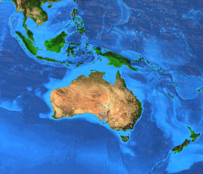
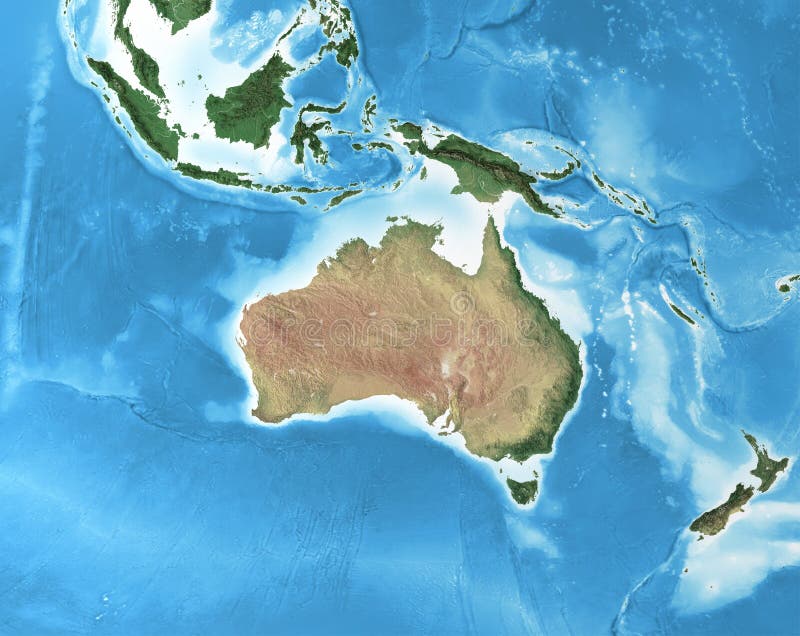
Free with trial Oceania map - Australasia, Polynesia, Melanesia, Micronesia region. Detailed satellite view of the Earth and its landforms. Elements of this image furnished by NASA. Map australasia illustrations Australasia Oceania - High resolution map. Oceania map - Australasia, Polynesia, Melanesia, Micronesia region. Detailed satellite view of the Earth and its landforms. Elements of this image furnished by NASA
Free with trial Regions of Oceania, political map. Colored geographic regions, southeast of the Asia-Pacific region including Australasia, Melanesia, Micronesia and Polynesia. English. Illustration over white. Vector. Map australasia vectors Regions of Oceania, political map
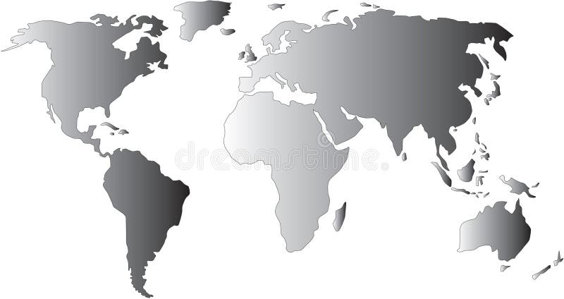
Free with trial Map of the world with gradient. Map australasia illustrations World map. Map of the world with gradient
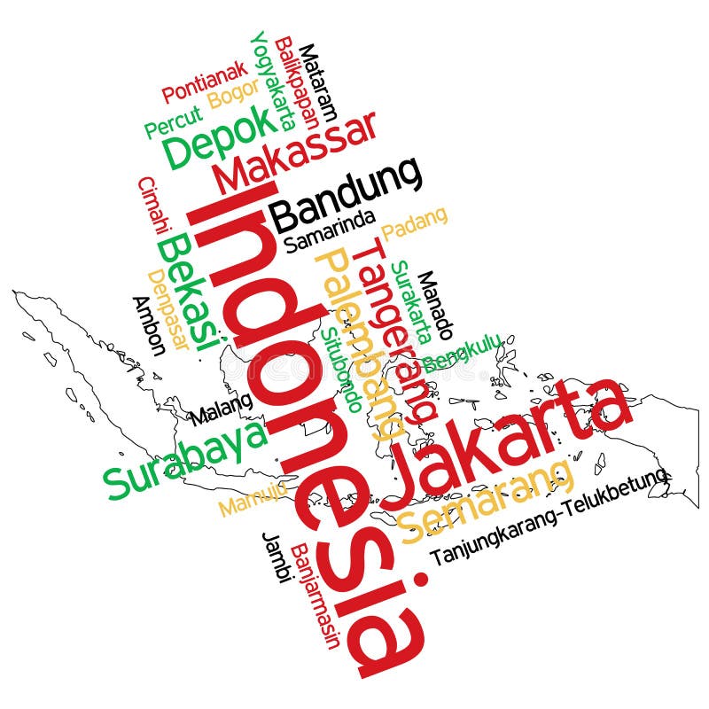
Free with trial Map of Indonesia and text design with major cities. Map australasia vectors Indonesia map and cities. Map of Indonesia and text design with major cities
Free with trial Polynesia, subregion of Oceania, political map. A region, made up of more than 1000 islands scattered over the central and southern Pacific Ocean. English. Illustration on white background. Vector. Map australasia vectors Polynesia, subregion of Oceania, political map
Free with trial Vector illustration of a High Detail Political Map in blue and white. Earth, longitudes and latitudes and are on separate layers. Map australasia vectors World map blue. Vector illustration of a High Detail Political Map in blue and white. Earth, longitudes and latitudes and are on separate layers.
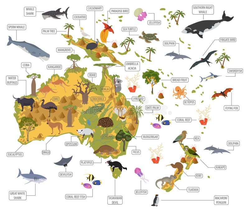
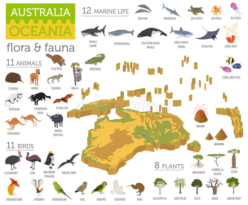
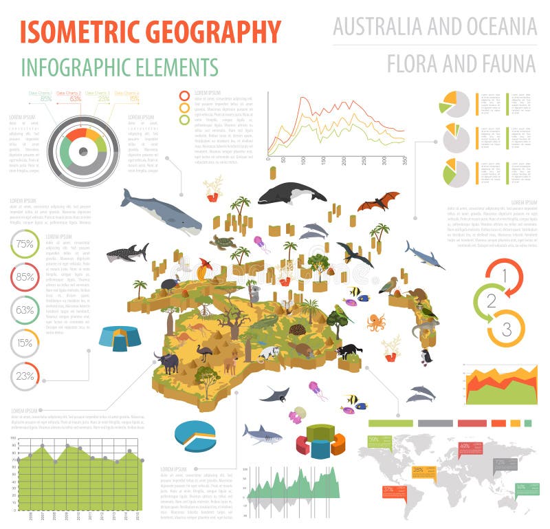
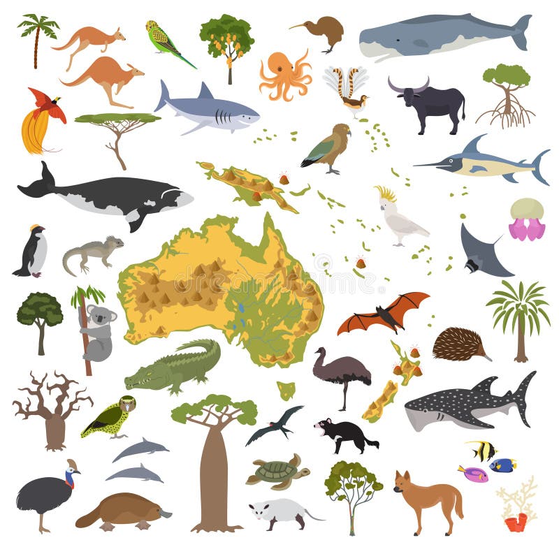
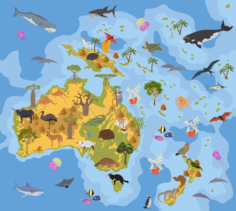
Free with trial Isometric 3d Australia and Oceania flora and fauna map elements. Animals, birds and sea life. Build your own geography infographics collection. Vector illustration. Map australasia vectors Isometric 3d Australia and Oceania flora and fauna map elements.
Free with trial Political map of the world with separate countries. Editable stroke. Map australasia vectors Political map of the world with separate countries. Editable stroke
Free with trial Australia and Oceania flora and fauna map, flat elements. Animals, birds and sea life big set. Build your geography infographics collection. Vector illustration. Map australasia vectors Australia and Oceania flora and fauna map, flat elements. Animal
Free with trial Australia and Oceania flora and fauna map, flat elements. Animals, birds and sea life big set. Build your geography infographics collection. Vector illustration. Map australasia vectors Australia and Oceania flora and fauna map, flat elements. Animal
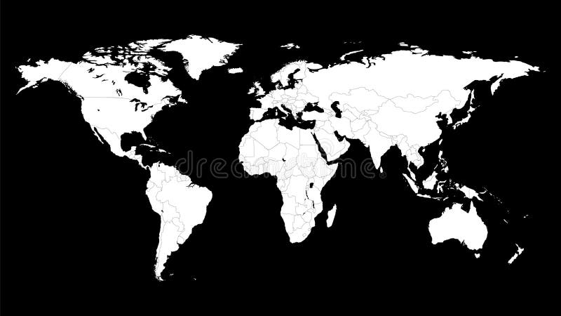
Free with trial Political map of the world template. Woldmap background with editable countries borders. Map australasia vectors Political map of the world template.
Free with trial Vector illustration of World Map. Map australasia illustrations World Map - illustration. Vector illustration of World Map
Free with trial A ial map of the Oceania continent. Map australasia illustrations Oceania map. A ial map of the Oceania continent
Free with trial Vector illustration of NEW 2011 Highly Detailed Political Map of the world with different blue color for each country. Also included the newest country the Republic of South Sudan. Global colors used. Each continents and globes are separated in editable layers. Map australasia vectors World map blue with countries and globes. Vector illustration of NEW 2011 Highly Detailed Political Map of the world with different blue color for each country. Also included the newest country the Republic of South Sudan. Global colors used. Each continents and globes are separated in editable layers.
Free with trial High Resolution 3D Illustration Australasia on grass. Map australasia illustrations Australasia on grass
Free with trial Isometric 3d Australia and Oceania flora and fauna. Animals, birds and sea life. Build your own geography infographics collection. Vector illustration. Map australasia vectors Isometric 3d Australia and Oceania flora and fauna map elements. Isometric 3d Australia and Oceania flora and fauna. Animals, birds and sea life. Build your own geography infographics collection. Vector illustration
Free with trial Flags of the Oceania countries of the Commonwealth of Australia and New Zealand overlaid on detailed maps isolated on white background. Map australasia vectors Australia and New Zealand Map Flag. Flags of the Oceania countries of the Commonwealth of Australia and New Zealand overlaid on detailed maps isolated on white background
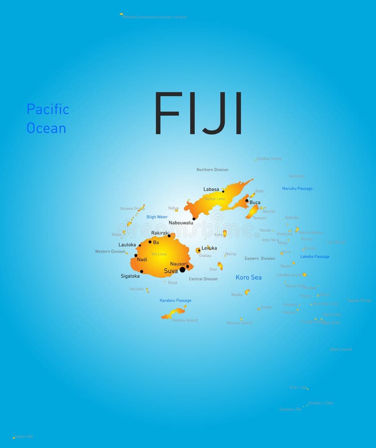
Free with trial Vector color map of Fiji. Map australasia vectors Fiji country. Vector color map of Fiji .
Free with trial Globe earth. Icons of world maps. Set of 3d globus with europe, asia, africa, usa, australia and china. Gray simple planets on transparent background. Design graphic for logistics and travel. Vector. Map australasia vectors Globe earth. Icons of world maps. Set of 3d globus with europe, asia, africa, usa, australia and china. Gray simple planets on
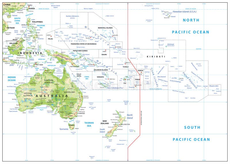
Free with trial World Map of AUSTRALASIA REGION: Australia, New Guinea, New Zealand, Oceania, Indonesia, Polynesia, Pacific Ocean. Geographic chart with coastline, archipelago, coral reefs & seas, isles & islands. Map australasia vectors World Map of AUSTRALASIA REGION: Australia, Oceania, Indonesia, Polynesia, Pacific Ocean. Geographic chart. World Map of AUSTRALASIA REGION: Australia, New Guinea, New Zealand, Oceania, Indonesia, Polynesia, Pacific Ocean. Geographic chart with coastline, archipelago, coral reefs & seas, isles & islands.
Free with trial New Zealand on the map of Australasia Oceania in soft grunge and vintage style, like old paper with watercolor painting. Map australasia illustrations Map of Australasia - New Zealand. New Zealand on the map of Australasia Oceania in soft grunge and vintage style, like old paper with watercolor painting
Free with trial Vector file of Oceania map - geographic region that includes Australasia, Melanesia, Micronesia and Polynesia. Map australasia vectors Oceania map - geographic region that includes Australasia, Melanesia, Micronesia and Polynesia
Free with trial Oceania, colored single states, political map. Geographic region, southeast of the Asia-Pacific region including Australasia, Melanesia, Micronesia and Polynesia. Illustration over white. Vector. Map australasia vectors Oceania, colored single states, political map
Free with trial Subregions of Oceania, political map. Geoscheme with regions in the Pacific Ocean and next to Asia. Melanesia, Micronesia, Polynesia, and Australasia, short for Australia and New Zealand. Vector. Map australasia vectors Subregions of Oceania, geoscheme with regions in the Pacific, political map. Subregions of Oceania, political map. Geoscheme with regions in the Pacific Ocean. Subregions of Oceania, political map. Geoscheme with regions in the Pacific Ocean and next to Asia. Melanesia, Micronesia, Polynesia, and Australasia, short for Australia and New Zealand. Vector.
Free with trial Oceania, gray political map. Australia and the Pacific, including New Zealand. Geographic region, southeast of the Asia-Pacific region, including Australasia, Melanesia, Micronesia and Polynesia. Map australasia vectors Oceania, gray political map, Australia and the Pacific, including New Zealand. Oceania, gray political map. Australia and the Pacific, including New Zealand. Geographic region, southeast of the Asia-Pacific region, including Australasia, Melanesia, Micronesia and Polynesia.
Free with trial Australasia and Asia droplet water. Map australasia illustrations Australasia and Asia droplet
Free with trial Melanesia, subregion of Oceania, political map. Extending from New Guinea in southwestern Pacific Ocean to Tonga, including Fiji, Vanuatu, Solomon Islands and Papua New Guinea. Illustration. Vector. Map australasia vectors Melanesia, subregion of Oceania, political map
Free with trial Micronesia, subregion of Oceania, political map. Composed of thousands of small islands in western Pacific Ocean next to Polynesia and Melanesia. English. Illustration on white background. Vector. Map australasia vectors Micronesia, subregion of Oceania, political map
Free with trial A map of the World made from uniform blue dots. Map australasia vectors World Map abstract. A map of the World made from uniform blue dots.
Free with trial Physical map of Australia, with high resolution details. Flattened satellite view of Planet Earth, its geography and topography. 3D illustration - Elements of this image furnished by NASA. Map australasia illustrations High resolution detailed map of Australia. Physical map of Australia, with high resolution details. Flattened satellite view of Planet Earth, its geography and topography. 3D illustration - Elements of this image furnished by NASA
Free with trial Isometric 3d Australia and Oceania flora and fauna map elements. Animals, birds and sea life. Build your own geography infographics collection. Vector illustration. Map australasia vectors Isometric 3d Australia and Oceania flora and fauna map elements.
Free with trial Blue map world. Worldmap global. Worldwide globe. Continents on cyan background. Silhouette map world. Backdrop for design travel. Planet earth. Land continent. International. Atlas. Vector. Map australasia vectors Blue map world. Worldmap global. Worldwide globe. Continents on cyan background. Silhouette map world. Backdrop for design travel.
Free with trial Blue map world. Worldmap global. Worldwide globe. Continents on cyan background. Silhouette map world with oceans. Backdrop for design travel. Planet earth. Land continent. Ocean. Atlas. Vector. Map australasia vectors Blue map world. Worldmap global. Worldwide globe. Continents on cyan background. Silhouette map world with oceans. Backdrop for de
Free with trial Illustration of black world map with modern orange background. Map australasia illustrations World map
Free with trial World map. Simple flat dot. Worldmap dotted global. Globe point. World maps circle. Worldwide continents isolated on white background. Silhouette center for design print. Planet abstract bg. Vector. Map australasia vectors World map. Simple flat dot. Worldmap dotted global. Globe point. World maps circle. Worldwide continents isolated on white backgro
Free with trial World Map of AUSTRALIA CONTINENT: Australia, New Zealand, Oceania, Micronesia, Melanesia, Polynesia, Pacific Ocean. Geographic chart with coastline, archipelago, coral reefs & seas, isles & islands. Map australasia vectors World Map of AUSTRALIA CONTINENT: Australia, New Zealand, Oceania, Pacific Ocean. Geographic chart. World Map of AUSTRALIA CONTINENT: Australia, New Zealand, Oceania, Micronesia, Melanesia, Polynesia, Pacific Ocean. Geographic chart with coastline, archipelago, coral reefs & seas, isles & islands.
Free with trial Political map of the world template. Woldmap background with editable countries borders. Map australasia vectors Political map of the world template.
Free with trial Isometric 3d Australia and Oceania flora and fauna map elements. Animals, birds and sea life. Build your own geography infographics collection. Vector illustration. Map australasia vectors Isometric 3d Australia and Oceania flora and fauna map elements.
Free with trial World map with countries borders. Worldmap background for reports and infographics. Map australasia vectors World map with countries borders.
Free with trial Australia and Oceania physical map elements. Build your own geography info graphic collection. Vector illustration. Map australasia vectors Australia and Oceania physical map elements. Build your own geog
Free with trial Australia and Oceania flora and fauna map, flat elements. Animals, birds and sea life big set. Build your geography infographics collection. Vector illustration. Map australasia vectors Australia and Oceania flora and fauna map, flat elements. Animal
Free with trial Isometric 3d Australia and Oceania flora and fauna map elements. Animals, birds and sea life. Build your own geography infographics collection. Vector illustration. Map australasia vectors Isometric 3d Australia and Oceania flora and fauna map elements.
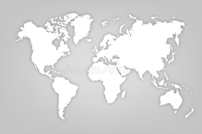
Free with trial Map world. Worldmap global. Worldwide globe. Grey continents isolated on white background. Simple flat gray silhouette map world. Designs travel. Planet earth. Editable continent. Vector illustration. Map australasia vectors Map world. Worldmap global. Worldwide globe. Grey continents isolated on white background. Simple flat gray silhouette map world.
Free with trial Australia and Oceania flora and fauna map, flat elements. Animals, birds and sea life big set. Build your geography infographics collection. Vector illustration. Map australasia vectors Australia and Oceania flora and fauna map, flat elements. Animal
Free with trial Isometric 3d Australia and Oceania flora and fauna map elements. Animals, birds and sea life. Build your own geography infographics collection. Vector illustration. Map australasia vectors Isometric 3d Australia and Oceania flora and fauna map elements.
Free with trial Vector illustration of World Map. Map australasia illustrations World Map - illustration. Vector illustration of World Map
Free with trial White map world on gray background. Worldmap global. Worldwide globe. Silhouette map world. Continents with shadow. Backdrop for design travel. Planet earth. Land continent. Atlas. Vector illustration. Map australasia vectors White map world on gray background. Worldmap global. Worldwide globe. Silhouette map world. Continents with shadow. Backdrop for d
Free with trial World map with square dot. ? bstract dotted squares world map on light blue background. Pixels silhouette worldmap. Simple flat wallpaper. Planet with continents for design print. Vector illustration. Map australasia vectors World map with square dot. Dotted squares world map background. Pixels silhouette worldmap. Simple flat planet continents. World map with square dot. ?bstract dotted squares world map on light blue background. Pixels silhouette worldmap. Simple flat wallpaper. Planet with continents for design print. Vector illustration
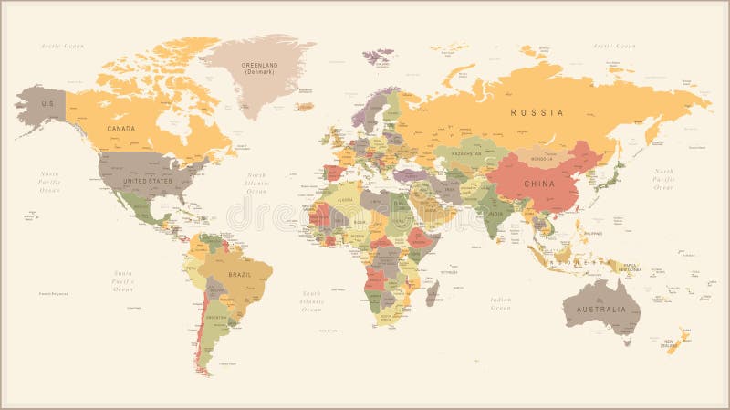
Free with trial Vector Illustration of Retro World Map. Map australasia illustrations Vintage Retro World Map - illustration. Vector Illustration of Retro World Map
Free with trial Australia and Oceania flora and fauna map, flat elements. Animals, birds and sea life big set. Build your geography infographics collection. Vector illustration. Map australasia vectors Australia and Oceania flora and fauna map, flat elements. Animal
Free with trial Australia and Oceania physical map elements. Build your own geography info graphic collection. Vector illustration. Map australasia vectors Australia and Oceania physical map elements. Build your own geog
Free with trial World map with square dot. Black dotted squares world map isolated on white background. Pixels silhouette worldmap. Simple flat wallpaper. Planet halftone pattern for design print. Vector illustration. Map australasia vectors World map with square dot. Black dotted squares world map isolated on white background. Pixels silhouette worldmap. Simple flat wa
Free with trial Gray map world. Minimalistic map world. Worldmap global. Worldwide globe. Silhouette continents on grey background. Silhouette map world with oceans. Flat design for prints. Planet earth. Vector. Map australasia vectors Gray map world. Minimalistic map world. Worldmap global. Worldwide globe. Silhouette continents on grey background. Silhouette map
Free with trial Relief Map of Oceania on white. Names, town marks and national borders are in separate layers. Map australasia vectors Relief Map of Oceania on white
Free with trial Isometric 3d Australia and Oceania physical map elements. Build your own geography info graphic collection. Vector illustration. Map australasia vectors Isometric 3d Australia and Oceania physical map elements. Build
Free with trial Vector map of the Bismarck Archipelago belonging to Papua New Guinea. Map australasia vectors Vector map of the Bismarck Archipelago belonging to Papua New Guinea
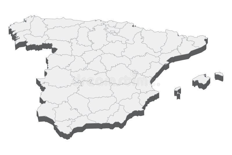
Free with trial Spain 3d map with borders of regions. Vector illustration The map of Spain isolated on white and rendered in 3D in white color. A stylized map of Spain showing the different provinces. All isolated on white background. Map australasia illustrations Spain map in 3D. 3d map with borders of regions. Spain 3d map with borders of regions. Vector illustration The map of Spain isolated on white and rendered in 3D in white color. A stylized map of Spain showing the different provinces. All isolated on white background.
Free with trial Blank Relief Map of Oceania. All elements are separated in editabe layers clearly labeled. Map australasia vectors Blank Relief Map of Oceania
Free with trial A dots map of the world is orange map and white background. Map australasia illustrations Color vector map of the world. Dots map is orange. A dots map of the world is orange map and white background.
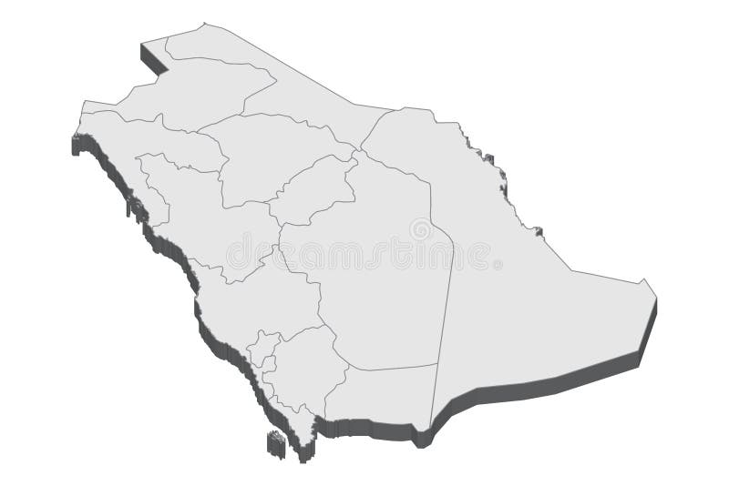
Free with trial Saudi Arabia 3d map with borders of regions. Vector illustration The map of Saudi Arabia isolated on white and rendered in 3D in white color. A stylized map of Saudi Arabia showing the different provinces. All isolated on white background. Map australasia vectors Saudi Arabia map in 3D. 3d map with borders of regions. Saudi Arabia 3d map with borders of regions. Vector illustration The map of Saudi Arabia isolated on white and rendered in 3D in white color. A stylized map of Saudi Arabia showing the different provinces. All isolated on white background.
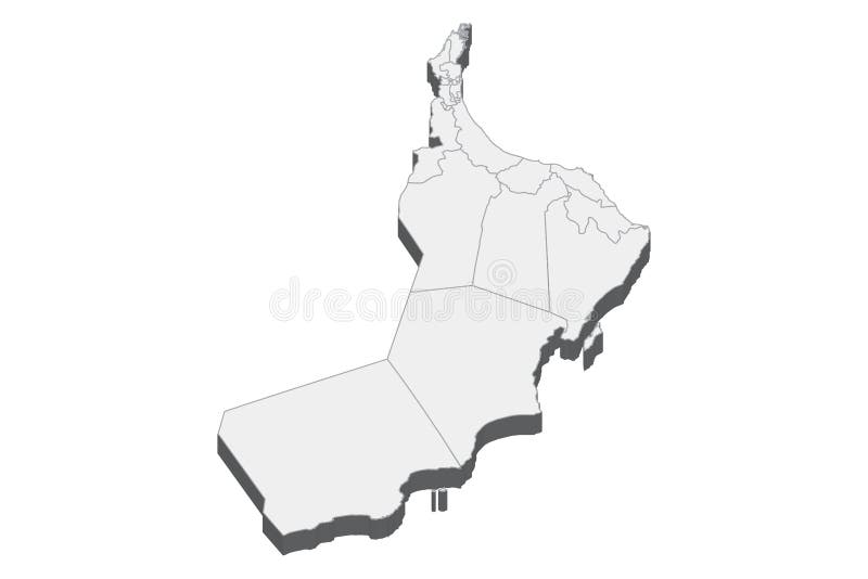
Free with trial Oman 3d map with borders of regions. Vector illustration The map of Oman isolated on white and rendered in 3D in white color. A stylized map of Oman showing the different provinces. All isolated on white background. Map australasia illustrations Oman map in 3D. 3d map with borders of regions. Oman 3d map with borders of regions. Vector illustration The map of Oman isolated on white and rendered in 3D in white color. A stylized map of Oman showing the different provinces. All isolated on white background.
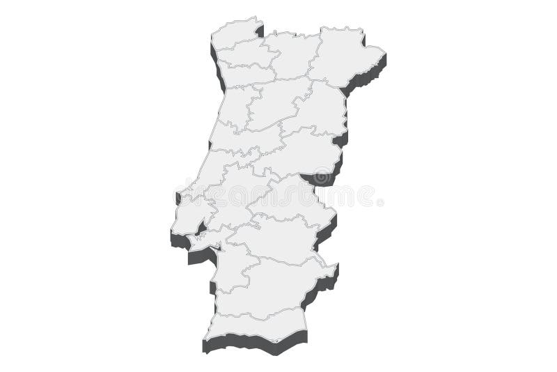
Free with trial Portugal 3d map with borders of regions. Vector illustration The map of Portugal isolated on white and rendered in 3D in white color. A stylized map of Portugal showing the different provinces. All isolated on white background. Map australasia illustrations Portugal map in 3D. 3d map with borders of regions. Portugal 3d map with borders of regions. Vector illustration The map of Portugal isolated on white and rendered in 3D in white color. A stylized map of Portugal showing the different provinces. All isolated on white background.
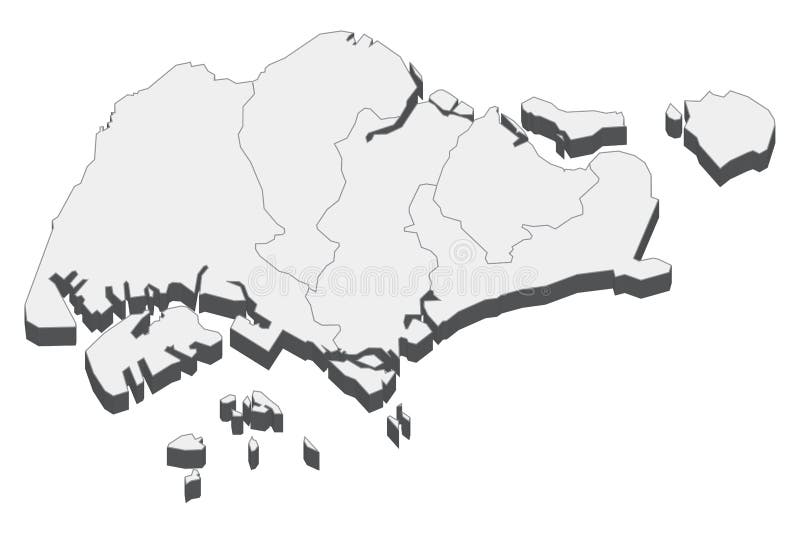
Free with trial Singapore 3d map with borders of regions. Vector illustration The map of Singapore isolated on white and rendered in 3D in white color. A stylized map of Singapore showing the different provinces. All isolated on white background. Map australasia illustrations Singapore map in 3D. 3d map with borders of regions. Singapore 3d map with borders of regions. Vector illustration The map of Singapore isolated on white and rendered in 3D in white color. A stylized map of Singapore showing the different provinces. All isolated on white background.
Free with trial Scribbled world map on green background. Fully editable EPS 10 file. Map australasia vectors World Map Sketch. Scribbled world map on green background. Fully editable EPS 10 file.