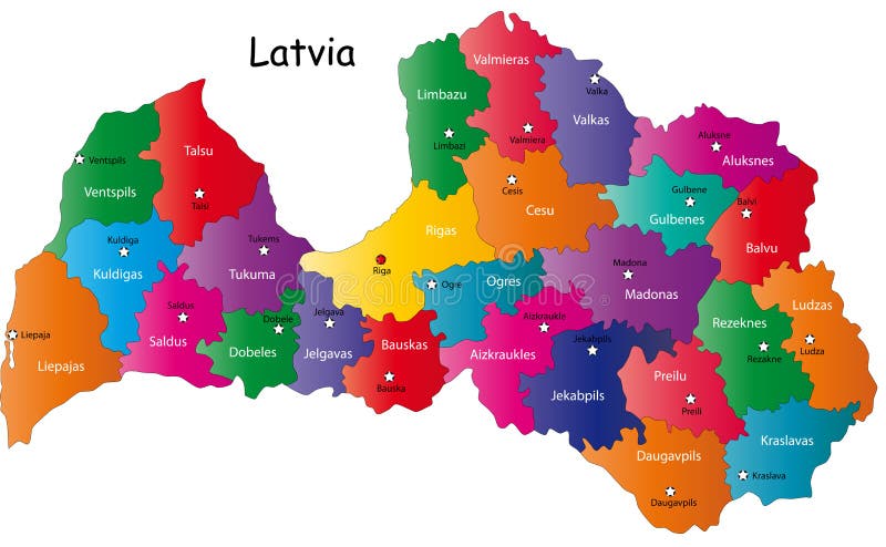
Free with trial Latvia map designed in illustration with the 26 districts colored in bright colors and with the main cities. On an illustration neighbouring countries are shown too. Map belarus districts vectors Latvia map
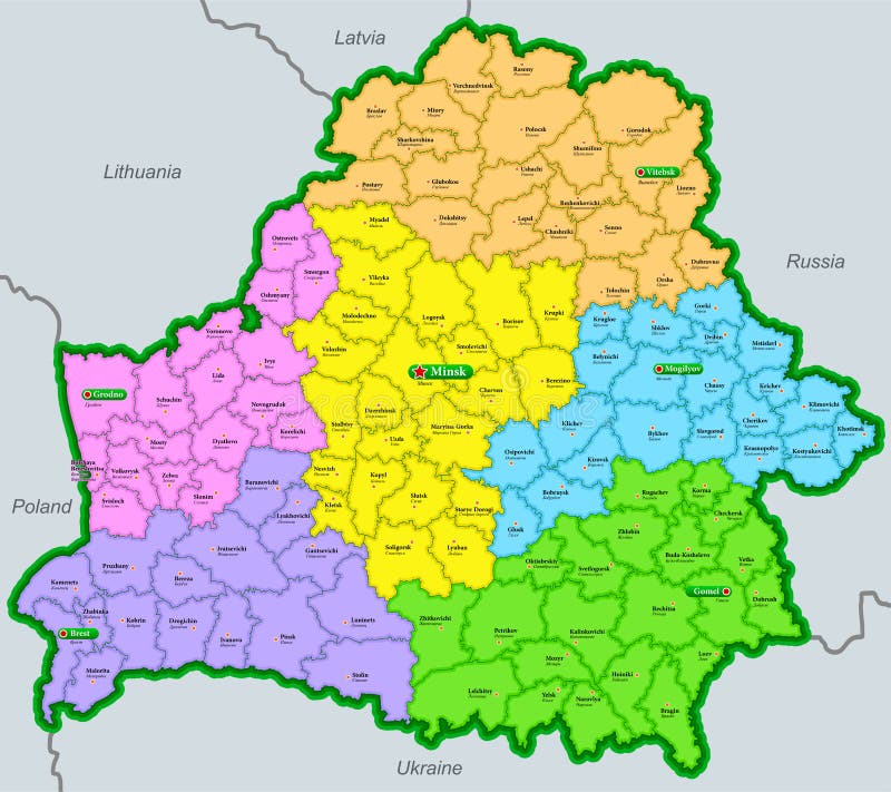
Free with trial Administrative map of the Republic of Belarus with partial borders of Poland, Lithuania, Latvia, Russia and Ukraine. Map belarus districts vectors Map of the Republic of Belarus marked by regions and districts in english and russian. Administrative map of the Republic of Belarus with partial borders of Poland, Lithuania, Latvia, Russia and Ukraine
Free with trial Poland map designed in illustration with the 26 districts colored in green colors and with the main cities. Neighbouring countries are in an additional format (. AI) in the latent layer. Map belarus districts vectors Latvia map. Poland map designed in illustration with the 26 districts colored in green colors and with the main cities. Neighbouring countries are in an additional format (.AI) in the latent layer.
Free with trial The map of the Republic of Belarus marked out by regions and districts in Russian. Partially designated neighboring states. Map belarus districts vectors Map of the Republic of Belarus marked by regions and districts in russian. The map of the Republic of Belarus marked out by regions and districts in Russian. Partially designated neighboring states
Free with trial Gray 3D Topography Map of European Country of Belarus. Map belarus districts vectors Relief Map of Belarus. Gray 3D Topography Map of European Country of Belarus
Free with trial Latvia map designed in illustration with the 26 districts colored in bright colors and with the main cities. Neighbouring countries are in an additional format (. AI) in the latent layer. Map belarus districts vectors Map of Latvia. Latvia map designed in illustration with the 26 districts colored in bright colors and with the main cities. Neighbouring countries are in an additional format (.AI) in the latent layer.
Free with trial High Quality map of Minsk is a capital of Belarus, with borders of the districts. Map of Minsk for your web site design, app, UI. EPS10. Map belarus districts vectors High Quality map of Minsk is a capital of Belarus, with borders of the districts. Map of Minsk
Free with trial A stylized map of Belarus, presented in a vibrant red color, is clearly divided into its administrative regions by thin white outlines. The map is isolated on a clean white background, making it ideal for various design and informational purposes. This graphic representation highlights the country's internal divisions and can be used for educational materials, news reports, or travel-related content. Map belarus districts illustrations Belarus Map with Regions - Red and White. A stylized map of Belarus, presented in a vibrant red color, is clearly divided into its administrative regions by thin. A stylized map of Belarus, presented in a vibrant red color, is clearly divided into its administrative regions by thin white outlines. The map is isolated on a clean white background, making it ideal for various design and informational purposes. This graphic representation highlights the country's internal divisions and can be used for educational materials, news reports, or travel-related content.
Free with trial Uzda district blank outline map. Map belarus districts vectors Uzda outline map. Uzda district blank outline map
Free with trial Iwye district blank outline map. Map belarus districts vectors Iwye outline map. Iwye district blank outline map
Free with trial Yelsk district blank outline map. Map belarus districts vectors Yelsk outline map. Yelsk district blank outline map
Free with trial Zelva district blank outline map. Map belarus districts vectors Zelva outline map. Zelva district blank outline map
Free with trial Hlusk district blank outline map. Map belarus districts vectors Hlusk outline map. Hlusk district blank outline map
Free with trial Kapyl district blank outline map. Map belarus districts vectors Kapyl outline map. Kapyl district blank outline map
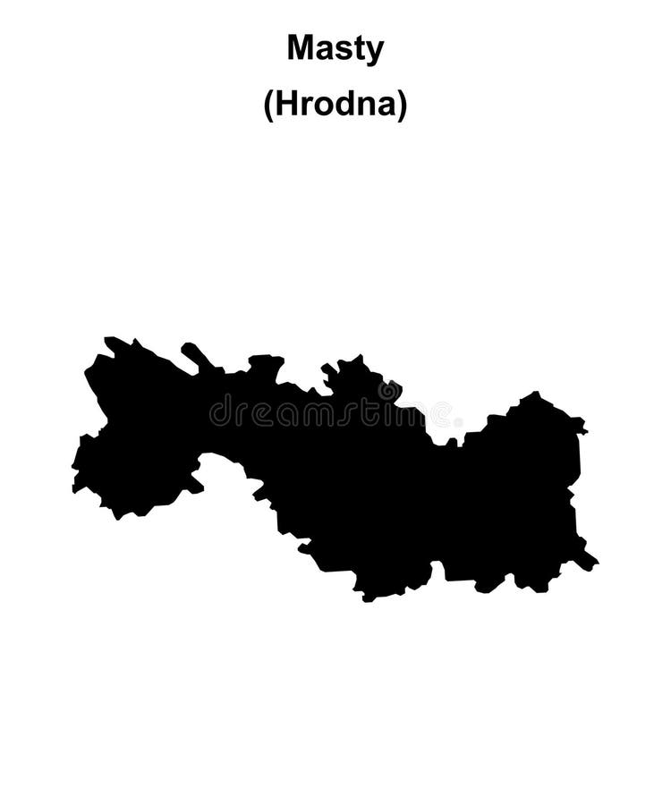
Free with trial Masty district blank outline map. Map belarus districts vectors Masty outline map. Masty district blank outline map
Free with trial Horki district blank outline map. Map belarus districts vectors Horki outline map. Horki district blank outline map
Free with trial Myory district blank outline map. Map belarus districts illustrations Myory outline map. Myory district blank outline map
Free with trial Mazyr district blank outline map. Map belarus districts illustrations Mazyr outline map. Mazyr district blank outline map
Free with trial Krupki district blank outline map. Map belarus districts vectors Krupki outline map. Krupki district blank outline map
Free with trial Ivanaw district blank outline map. Map belarus districts vectors Ivanaw outline map. Ivanaw district blank outline map
Free with trial Shklow district blank outline map. Map belarus districts vectors Shklow outline map. Shklow district blank outline map
Free with trial Lyozna district blank outline map. Map belarus districts vectors Lyozna outline map. Lyozna district blank outline map
Free with trial Vyetka district blank outline map. Map belarus districts illustrations Vyetka outline map. Vyetka district blank outline map
Free with trial Lyuban district blank outline map. Map belarus districts vectors Lyuban outline map. Lyuban district blank outline map
Free with trial Drybin district blank outline map. Map belarus districts vectors Drybin outline map. Drybin district blank outline map
Free with trial Dobrush district blank outline map. Map belarus districts vectors Dobrush outline map. Dobrush district blank outline map
Free with trial Pastavy district blank outline map. Map belarus districts vectors Pastavy outline map. Pastavy district blank outline map
Free with trial Slutsak district blank outline map. Map belarus districts vectors Slutsak outline map. Slutsak district blank outline map
Free with trial Lyepyel district blank outline map. Map belarus districts illustrations Lyepyel outline map. Lyepyel district blank outline map
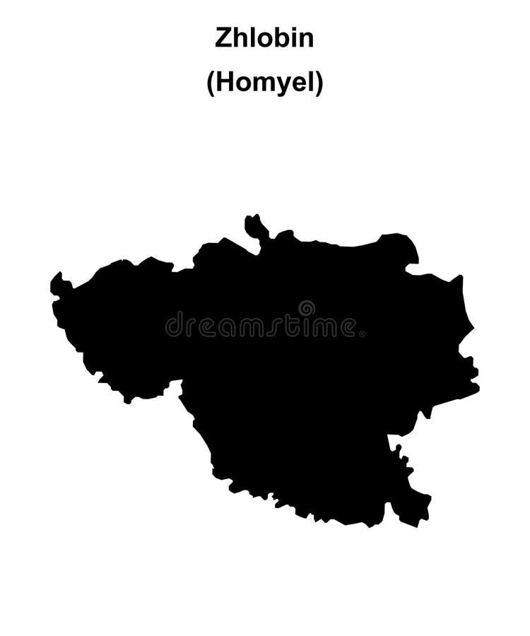
Free with trial Zhlobin district blank outline map. Map belarus districts vectors Zhlobin outline map. Zhlobin district blank outline map
Free with trial Lahoysk district blank outline map. Map belarus districts vectors Lahoysk outline map. Lahoysk district blank outline map
Free with trial Smarhon district blank outline map. Map belarus districts vectors Smarhon outline map. Smarhon district blank outline map
Free with trial Chavusy district blank outline map. Map belarus districts vectors Chavusy outline map. Chavusy district blank outline map
Free with trial Braslaw district blank outline map. Map belarus districts vectors Braslaw outline map. Braslaw district blank outline map
Free with trial Biaroza district blank outline map. Map belarus districts vectors Biaroza outline map. Biaroza district blank outline map
Free with trial Nyasvizh district blank outline map. Map belarus districts vectors Nyasvizh outline map. Nyasvizh district blank outline map
Free with trial Klyetsak district blank outline map. Map belarus districts vectors Klyetsak outline map. Klyetsak district blank outline map
Free with trial Valozhyn district blank outline map. Map belarus districts illustrations Valozhyn outline map. Valozhyn district blank outline map
Free with trial Narowlya district blank outline map. Map belarus districts illustrations Narowlya outline map. Narowlya district blank outline map
Free with trial Dubrowna district blank outline map. Map belarus districts vectors Dubrowna outline map. Dubrowna district blank outline map
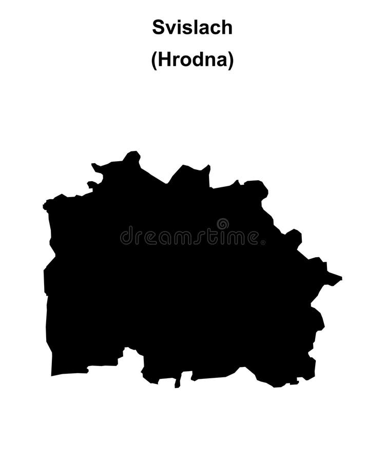
Free with trial Svislach district blank outline map. Map belarus districts vectors Svislach outline map. Svislach district blank outline map
Free with trial Kruhlaye district blank outline map. Map belarus districts vectors Kruhlaye outline map. Kruhlaye district blank outline map
Free with trial Babruysk district blank outline map. Map belarus districts vectors Babruysk outline map. Babruysk district blank outline map
Free with trial Karelichy district blank outline map. Map belarus districts vectors Karelichy outline map. Karelichy district blank outline map
Free with trial Shchuchyn district blank outline map. Map belarus districts vectors Shchuchyn outline map. Shchuchyn district blank outline map
Free with trial Shumilina district blank outline map. Map belarus districts vectors Shumilina outline map. Shumilina district blank outline map
Free with trial Chashniki district blank outline map. Map belarus districts vectors Chashniki outline map. Chashniki district blank outline map
Free with trial Dokshytsy district blank outline map. Map belarus districts vectors Dokshytsy outline map. Dokshytsy district blank outline map
Free with trial Khotsimsk district blank outline map. Map belarus districts vectors Khotsimsk outline map. Khotsimsk district blank outline map
Free with trial Chachersk district blank outline map. Map belarus districts vectors Chachersk outline map. Chachersk district blank outline map
Free with trial Slawharad district blank outline map. Map belarus districts illustrations Slawharad outline map. Slawharad district blank outline map
Free with trial Pyetrykaw district blank outline map. Map belarus districts vectors Pyetrykaw outline map. Pyetrykaw district blank outline map
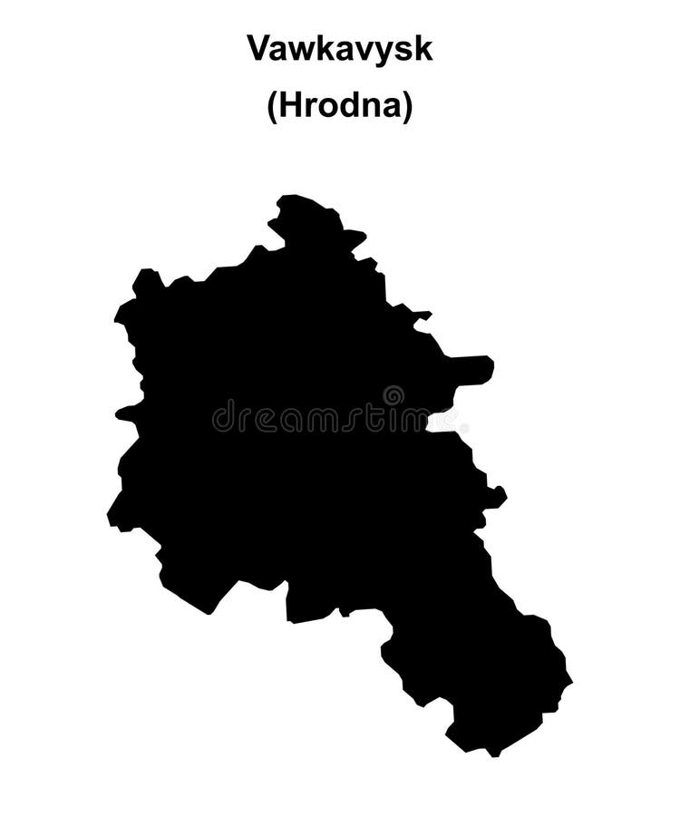
Free with trial Vawkavysk district blank outline map. Map belarus districts vectors Vawkavysk outline map. Vawkavysk district blank outline map
Free with trial Hlybokaye district blank outline map. Map belarus districts vectors Hlybokaye outline map. Hlybokaye district blank outline map
Free with trial Hancavichy district blank outline map. Map belarus districts vectors Hancavichy outline map. Hancavichy district blank outline map
Free with trial Navahradak district blank outline map. Map belarus districts vectors Navahradak outline map. Navahradak district blank outline map
Free with trial Klimavichy district blank outline map. Map belarus districts vectors Klimavichy outline map. Klimavichy district blank outline map
Free with trial Lyakhavichy district blank outline map. Map belarus districts vectors Lyakhavichy outline map. Lyakhavichy district blank outline map
Free with trial Krasnapolle district blank outline map. Map belarus districts vectors Krasnapolle outline map. Krasnapolle district blank outline map
Free with trial Svyetlahorsk district blank outline map. Map belarus districts vectors Svyetlahorsk outline map. Svyetlahorsk district blank outline map
Free with trial Byerastavitsa district blank outline map. Map belarus districts vectors Byerastavitsa outline map. Byerastavitsa district blank outline map
Free with trial Kastsyukovichy district blank outline map. Map belarus districts vectors Kastsyukovichy outline map. Kastsyukovichy district blank outline map
Free with trial Staryya Darohi district blank outline map. Map belarus districts vectors Staryya Darohi outline map. Staryya Darohi district blank outline map
Free with trial Buda-Kashalyowa district blank outline map. Map belarus districts vectors Buda-Kashalyowa outline map. Buda-Kashalyowa district blank outline map
Free with trial Vyerkhnyazdvinsk district blank outline map. Map belarus districts vectors Vyerkhnyazdvinsk outline map. Vyerkhnyazdvinsk district blank outline map
Free with trial Minsk district blank outline map. Map belarus districts vectors Minsk outline map. Minsk district blank outline map
Free with trial Brest district blank outline map. Map belarus districts vectors Brest outline map. Brest district blank outline map
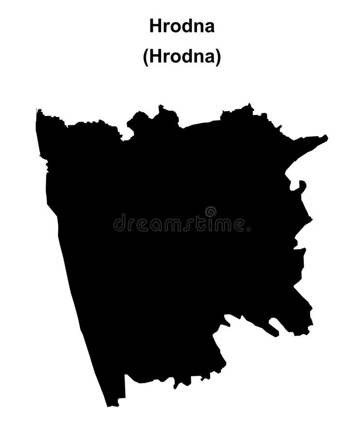
Free with trial Hrodna district blank outline map. Map belarus districts vectors Hrodna outline map. Hrodna district blank outline map
Free with trial Vitsyebsk district blank outline map. Map belarus districts illustrations Vitsyebsk outline map. Vitsyebsk district blank outline map
Free with trial Colorful Gomel Art Map with Labels and Buildings with many details for urban roads, paths and disctricts. Map belarus districts illustrations Colorful Gomel Street Map with Labels and Buildings. Colorful Gomel Art Map with Labels and Buildings with many details for urban roads, paths and disctricts
Free with trial Colorful Minsk Art Map with Labels and Buildings with many details for urban roads, paths and disctricts. Map belarus districts illustrations Colorful Minsk Street Map with Labels and Buildings. Colorful Minsk Art Map with Labels and Buildings with many details for urban roads, paths and disctricts
Free with trial Colorful Vitebsk Art Map with Labels and Buildings with many details for urban roads, paths and disctricts. Map belarus districts illustrations Colorful Vitebsk Street Map with Labels and Buildings. Colorful Vitebsk Art Map with Labels and Buildings with many details for urban roads, paths and disctricts
Free with trial Colorful Mogilev Art Map with Labels and Buildings with many details for urban roads, paths and disctricts. Map belarus districts illustrations Colorful Mogilev Street Map with Labels and Buildings. Colorful Mogilev Art Map with Labels and Buildings with many details for urban roads, paths and disctricts
Free with trial Uzda district outline map set. Map belarus districts illustrations Uzda outline map. Uzda district outline map set
Free with trial Iwye district outline map set. Map belarus districts illustrations Iwye outline map. Iwye district outline map set
Free with trial Arsha district outline map set. Map belarus districts vectors Arsha outline map. Arsha district outline map set
Free with trial Myory district outline map set. Map belarus districts vectors Myory outline map. Myory district outline map set
Free with trial Kapyl district outline map set. Map belarus districts vectors Kapyl outline map. Kapyl district outline map set
Free with trial Hlusk district outline map set. Map belarus districts vectors Hlusk outline map. Hlusk district outline map set
Free with trial Vyetka district outline map set. Map belarus districts vectors Vyetka outline map. Vyetka district outline map set