Free with trial An image for the concept of Secure Global Information Technology. This computer generated graphic shows a circular view of plant earth with digital code and a map of the world in the background. There is also a frame panel extending over two thirds of the image and in three frames of the panel are laptop computers showing globes on their screen. The frame panel is shown to illustrate a firewall for safe access to the world wide web or internet in cyberspace. Map connection network illustrations Secure Global Information Technology
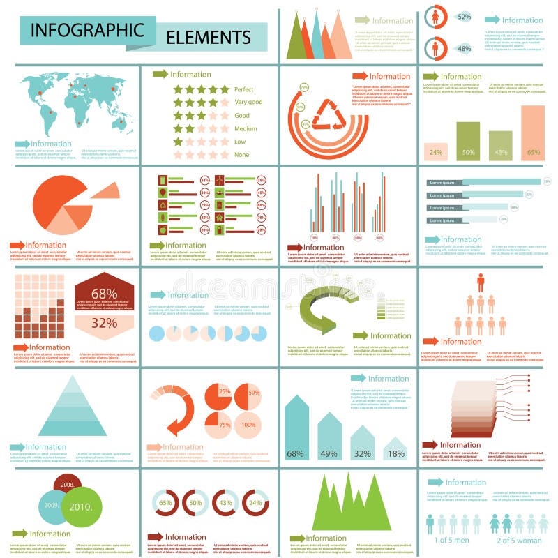
Free with trial Infographic elements with icons and world maps. Vector. Map connection network vectors World Map infographic. Infographic elements with icons and world maps. Vector
Free with trial Picture where connection of a computer with all world is shown. Map connection network illustrations Connect the world. Picture where connection of a computer with all world is shown
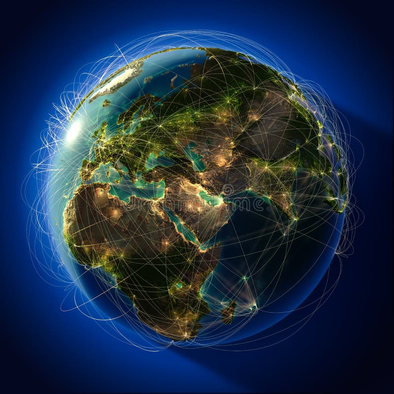
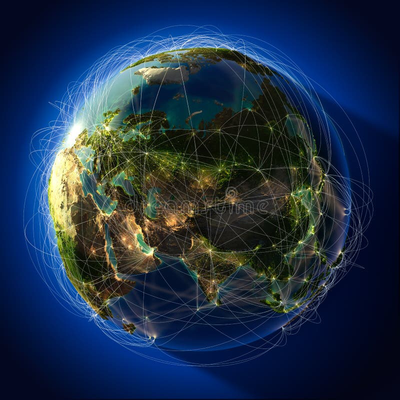
Free with trial Highly detailed planet Earth at night, lit from behind the evening sun, with embossed continents, illuminated by light of cities, translucent and reflective ocean. Earth is surrounded by a luminous network, representing the major air routes based on real data. Map connection network illustrations Major global aviation routes on. Highly detailed planet Earth at night, lit from behind the evening sun, with embossed continents, illuminated by light of cities, translucent and reflective ocean. Earth is surrounded by a luminous network, representing the major air routes based on real data
Free with trial Highly detailed planet Earth at night, lit from behind the evening sun, with embossed continents, illuminated by light of cities, translucent and reflective ocean. Earth is surrounded by a luminous network, representing the major air routes based on real data. Map connection network illustrations Major global aviation routes on. Highly detailed planet Earth at night, lit from behind the evening sun, with embossed continents, illuminated by light of cities, translucent and reflective ocean. Earth is surrounded by a luminous network, representing the major air routes based on real data
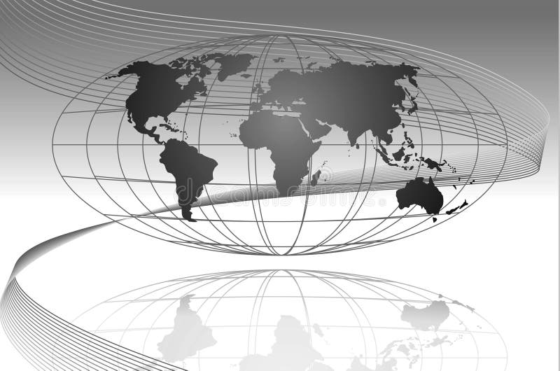
Free with trial This is a global map with the coordinate lining and a wave getting across the global. Best used for business flow purposes. Map connection network illustrations Global
Free with trial This is a global map with the coordinate lining and a wave getting across the global. Best used for business flow purposes. Map connection network illustrations Global
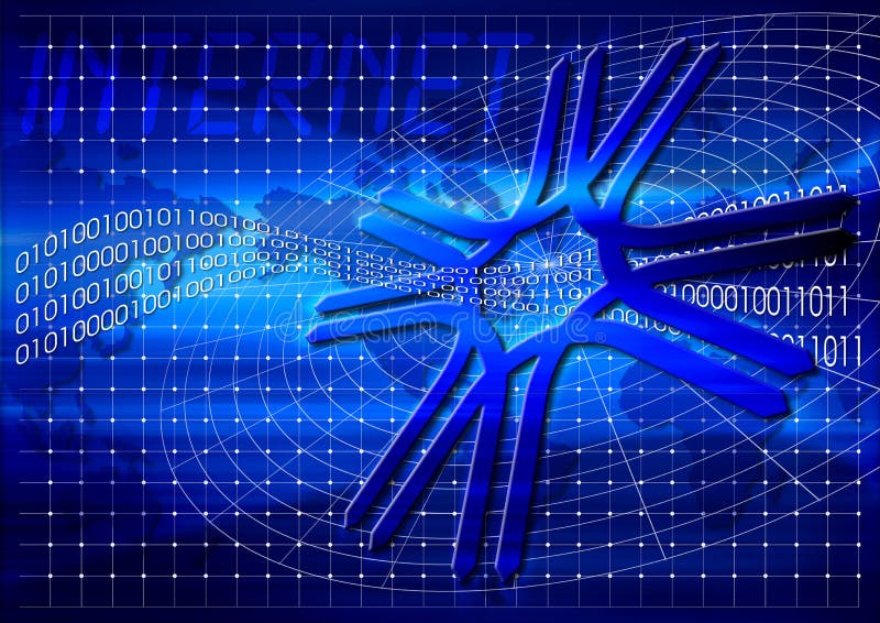
Free with trial Internet and world, illustration with world map. Map connection network illustrations Internet
Free with trial Illustration of import and export, logistic, transactions network and more. Map connection network vectors Networking. Illustration of import and export, logistic, transactions network and more
Free with trial Concept of internet and networking with globe world map. Map connection network illustrations Networking
Free with trial Concept of internet and networking with globe world map. Map connection network illustrations Networking
Free with trial A computer generated image representing the concept of intercommunication and connection. Map connection network illustrations Connections. A computer generated image representing the concept of intercommunication and connection
Free with trial Computer keyboard with www and world map enter key. Map connection network illustrations Keyboard WWW. Computer keyboard with www and world map enter key.
Free with trial World wide web symbol in front of a world map. Digital illustration. Map connection network illustrations World wide web
Free with trial 3d vector world map illustration and infographics design template. Map connection network vectors 3d infographics. 3d vector world map illustration and infographics design template.
Free with trial Global business network with detail map. Map connection network illustrations Global business
Free with trial Illustrated abstract look at the world in different shades of blue and green circles. Map connection network vectors World map circle. Illustrated abstract look at the world in different shades of blue and green circles
Free with trial Connect Globally with a Worldwide Web Map. Map connection network illustrations Connect Globally
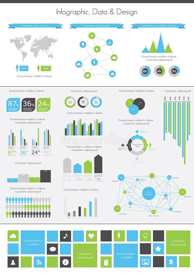
Free with trial Infographics set. World Map and Information Graphics. Map connection network vectors Infographics set.
Free with trial Detail infographic illustration. World Map and Information Graphics. Map connection network vectors Detail infographic
Free with trial Networking and internet concept with globe world map. Map connection network illustrations Networking concept. Networking and internet concept with globe world map
Free with trial Computer server room with world map. Isolated on white with clipping path for the background. Map connection network illustrations Computer server room
Free with trial Abstract technology background with software code lines and world map. Map connection network vectors Technology background
Free with trial Digital world circuit connection concept. Map connection network illustrations Digital world circuit
Free with trial Network marketing is based on the transfer of ideas and information. Drawing represents a concept of multi-level marketing. Map connection network vectors Multi level marketing. Network marketing is based on the transfer of ideas and information. Drawing represents a concept of multi-level marketing.
Free with trial Abstract technology background with software code lines and world map. Map connection network vectors Technology background
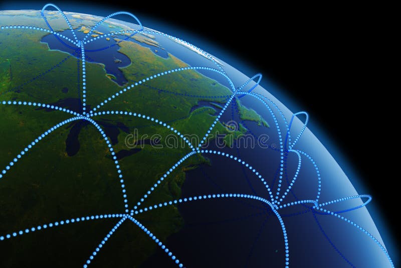
Free with trial Global network around the Earth (Northeast Region of the U. S. ). Hi-res digitally generated image. Map connection network illustrations Global communications. Global network around the Earth (Northeast Region of the U.S.). Hi-res digitally generated image.
Free with trial Concept on a theme of the global communications with the image of wires and of world map. Map connection network illustrations Global communications
Free with trial Touching the man icon in the future style virtual interface. Map connection network illustrations Social network concept. Touching the man icon in the future style virtual interface.
Free with trial Wireless access point to global network concept. Globe with signal arcs on white background. Map connection network vectors Globe with signal arcs
Free with trial A conceptual cloud computing illustration. Laptops connected to the cloud with a world map in the background. Map connection network vectors Cloud computing concept. A conceptual cloud computing illustration. Laptops connected to the cloud with a world map in the background.
Free with trial An illustration of multiple devices all capable of using the world wide web, isolated on a white background. Map connection network illustrations Internet Device Network. An illustration of multiple devices all capable of using the world wide web, isolated on a white background
Free with trial Detail info graphic vector illustration. World Map and Information Graphics. Map connection network vectors Info graphics collection. Detail info graphic vector illustration. World Map and Information Graphics
Free with trial Charts and data on the world map. Map connection network illustrations Charts and communication. Charts and data on the world map
Free with trial Creative abstract global wireless communication technology and mobility internet web business concept: blue crystal Earth globe world planet with map on modern metal black glossy touchscreen smartphone with colorful interface with color icons and buttons isolated on white background. Map connection network illustrations Earth globe on smartphone. Creative abstract global wireless communication technology and mobility internet web business concept: blue crystal Earth globe world planet with map on modern metal black glossy touchscreen smartphone with colorful interface with color icons and buttons isolated on white background
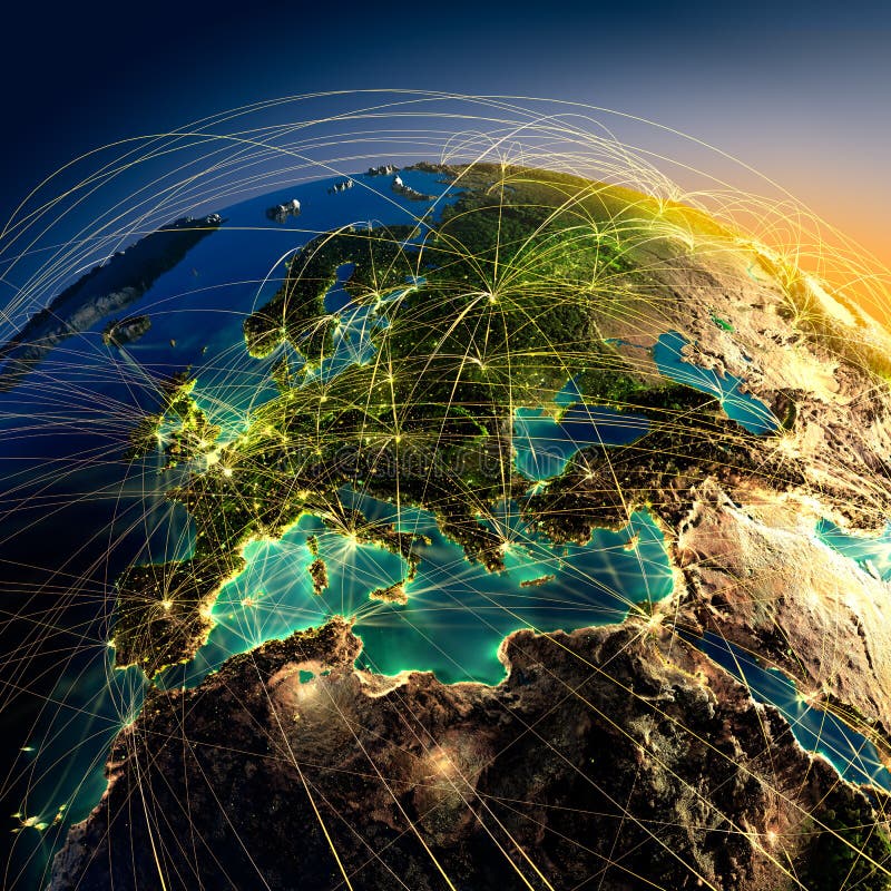
Free with trial Highly detailed planet Earth at night with embossed continents, illuminated by light of cities, translucent and reflective ocean. Earth is surrounded by a luminous network, representing the major air routes based on real data. Map connection network illustrations Main air routes in Europe. Highly detailed planet Earth at night with embossed continents, illuminated by light of cities, translucent and reflective ocean. Earth is surrounded by a luminous network, representing the major air routes based on real data
Free with trial Group of business people with the world map in the background. Map connection network vectors Groupd of Business People. Group of business people with the world map in the background.
Free with trial Highly detailed planet Earth at night with embossed continents, illuminated by light of cities, translucent and reflective ocean. Earth is surrounded by a luminous network, representing the major air routes based on real data. Map connection network illustrations Main air routes in Europe. Highly detailed planet Earth at night with embossed continents, illuminated by light of cities, translucent and reflective ocean. Earth is surrounded by a luminous network, representing the major air routes based on real data
Free with trial Grey compass rose with polygon line on abstract background. Polygonal space low poly with connecting dots and lines. Connection structure. Vector science background. Map connection network vectors Compass rose low poly blue. Grey compass rose with polygon line on abstract background. Polygonal space low poly with connecting dots and lines. Connection structure. Vector science background
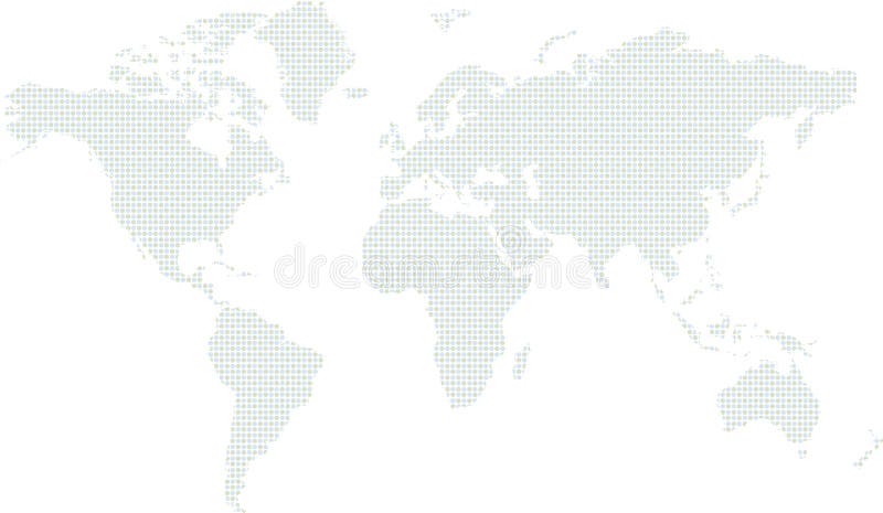
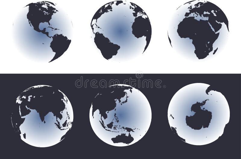
Free with trial Accurate map of the world. Includes Antarctica. Maps to a 3d sphere to make a globe with accurate latitude and longitude. Also includes many islands - Hawaii, Aleutians, Galapagos, Maldives, Canary, etc. Lakes of the USA, Africa, Russia. Map connection network vectors Grey Gray World High Detail. Accurate map of the world. Includes Antarctica. Maps to a 3d sphere to make a globe with accurate latitude and longitude. Also includes many islands - Hawaii, Aleutians, Galapagos, Maldives, Canary, etc. Lakes of the USA, Africa, Russia.
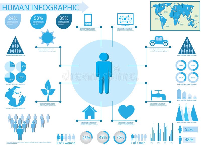
Free with trial Human info graphic elements- set of charts and graphs with world map. Map connection network vectors Human info graphic elements
Free with trial Blue world globe and map over lights, rays with net like background. Map connection network illustrations World globe in rays and net. Blue world globe and map over lights, rays with net like background
Free with trial Highly detailed planet Earth at night, lit from behind the evening sun, with embossed continents, illuminated by light of cities, translucent and reflective ocean. Earth is surrounded by a luminous network, representing the major air routes based on real data. Map connection network illustrations Major global aviation routes. Highly detailed planet Earth at night, lit from behind the evening sun, with embossed continents, illuminated by light of cities, translucent and reflective ocean. Earth is surrounded by a luminous network, representing the major air routes based on real data
Free with trial Connection business and communication technology concept. Abstract vector illustration. Map connection network vectors Abstract technology communication illustration. Connection business and communication technology concept. Abstract vector illustration
Free with trial Abstract Technology Background With a Glowing Map. Map connection network illustrations Abstract Technology Background
Free with trial Detail infographic illustration. World Map and Information Graphics. Map connection network vectors Detail infographic illustration.
Free with trial Detail infographic illustration. World Map and Information Graphics. Map connection network vectors Detail infographic illustration.
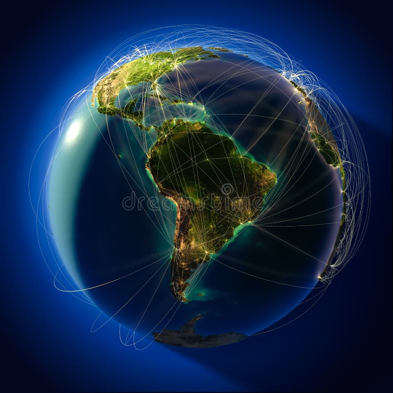
Free with trial Highly detailed planet Earth at night with embossed continents, illuminated by light of cities, translucent and reflective ocean. Earth is surrounded by a luminous network, representing the major air routes based on real data. Map connection network illustrations Main air routes in North America. Highly detailed planet Earth at night with embossed continents, illuminated by light of cities, translucent and reflective ocean. Earth is surrounded by a luminous network, representing the major air routes based on real data
Free with trial Infographic elements - set of paper tags, technology icons, cloud cmputing, graphs, paper tags, arrows, world map and so on. Ideal for statistic data display. Map connection network vectors Infographic elements - Quality Set. Infographic elements - set of paper tags, technology icons, cloud cmputing, graphs, paper tags, arrows, world map and so on. Ideal for statistic data display.
Free with trial Infographic elements - set of paper tags, technology icons, cloud cmputing, graphs, paper tags, arrows, world map and so on. Ideal for statistic data display. Map connection network vectors Infographic elements - Quality Set. Infographic elements - set of paper tags, technology icons, cloud cmputing, graphs, paper tags, arrows, world map and so on. Ideal for statistic data display.
Free with trial Earth communications concept. Blue planar map background. Map connection network illustrations Blue world communications concept. Earth communications concept. Blue planar map background.
Free with trial Vector Set elements of infographics. World Map and Information Graphics. Map connection network vectors Vector Set elements of infographic
Free with trial Computer, mobile phone and tablet colors icons in world shape over social media background. Vector illustration layered for easy manipulation and custom coloring. Map connection network vectors Gadgets icons world map illustration. Computer, mobile phone and tablet colors icons in world shape over social media background. Vector illustration layered for easy manipulation and custom coloring.
Free with trial Grey compass with polygon line on abstract background. Polygonal space low poly with connecting dots and lines. Connection structure. Vector science background. Map connection network vectors Compass low poly blue. Grey compass with polygon line on abstract background. Polygonal space low poly with connecting dots and lines. Connection structure. Vector science background.
Free with trial People info graphic vector illustration. World Map and Information Graphics. Map connection network vectors People infographic vector illustration. People info graphic vector illustration. World Map and Information Graphics
Free with trial Highly detailed planet Earth at night, lit by the rising sun, with embossed continents, illuminated by light of cities, translucent and reflective ocean. Earth is surrounded by a luminous network, representing the major air routes based on real data. Map connection network illustrations Main air routes in Australia and Oceania. Highly detailed planet Earth at night, lit by the rising sun, with embossed continents, illuminated by light of cities, translucent and reflective ocean. Earth is surrounded by a luminous network, representing the major air routes based on real data
Free with trial Infographic elements - set of paper tags, cloud technology icons, cloud cmputing, graphs, paper tags, arrows, world map and so on. Ideal for statistic data display. Map connection network illustrations Infographic elements - Cloud and Technology. Infographic elements - set of paper tags, cloud technology icons, cloud cmputing, graphs, paper tags, arrows, world map and so on. Ideal for statistic data display.
Free with trial Modern technology business concept, Creative network information process diagram, Vector illustration modern template design. Map connection network vectors Vector modern technology business concept. Modern technology business concept, Creative network information process diagram, Vector illustration modern template design
Free with trial Mobile phones technology business concept, Creative network information process diagram in hand. Map connection network illustrations Mobile phones technology business in hand. Mobile phones technology business concept, Creative network information process diagram in hand
Free with trial Accurate maps of the world on globes. Includes Antarctica. Also includes many islands - Hawaii, Aleutians, Galapagos, Maldives, Canary, etc. Lakes of the USA, Africa, Russia. Map connection network vectors World Map on Glowing Globes. Accurate maps of the world on globes. Includes Antarctica. Also includes many islands - Hawaii, Aleutians, Galapagos, Maldives, Canary, etc. Lakes of the USA, Africa, Russia.
Free with trial Technology business mobile connection concept. Map connection network vectors Business shopping on line on cloud mobile concept. Technology business mobile connection concept
Free with trial Timeline to display your data in order with Infographic elements technology icons, graphs,world map and so on. Ideal for statistic data display. Map connection network vectors Timeline to display your data with Infographic. Timeline to display your data in order with Infographic elements technology icons, graphs,world map and so on. Ideal for statistic data display.
Free with trial Mobile phones technology business concept, Creative network information process diagram, Vector illustration modern template design. Map connection network vectors Vector Mobile phones technology business concept. Mobile phones technology business concept, Creative network information process diagram, Vector illustration modern template design
Free with trial Infographic elements - set of paper tags, technology icons, cloud cmputing, graphs, paper tags, arrows, world map and so on. Ideal for statistic data display. Map connection network vectors Infographics Elements for cloud computing graphs. Infographic elements - set of paper tags, technology icons, cloud cmputing, graphs, paper tags, arrows, world map and so on. Ideal for statistic data display.
Free with trial Modern technology business concept mobile phones with tablet computer, Creative design network information process diagram, Vector illustration modern template design. Map connection network vectors Vector modern technology business concept mobile p. Modern technology business concept mobile phones with tablet computer, Creative design network information process diagram, Vector illustration modern template design
Free with trial Modern technology business concept mobile phones, Creative design network information process diagram, Vector illustration modern template design. Map connection network vectors Vector modern technology business concept mobile p. Modern technology business concept mobile phones, Creative design network information process diagram, Vector illustration modern template design
Free with trial Simple Set of Satellite Related Vector Line Icons. Contains such Icons as Spacecraft Lunch, Antenna, Map, Dish and more. Editable Stroke. 48x48 Pixel Perfect. Map connection network vectors Line Satellite Icons. Simple Set of Satellite Related Vector Line Icons. Contains such Icons as Spacecraft Lunch, Antenna, Map, Dish and more. Editable Stroke. 48x48 Pixel Perfect.
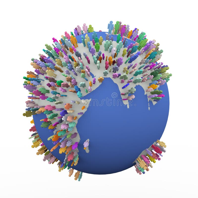
Free with trial 3d illustration of different colorful people standing on world earth globe. Concept of global village, people network and communication. Map connection network illustrations 3d colorful different people around earth world globe. 3d illustration of different colorful people standing on world earth globe. Concept of global village, people network and communication.
Free with trial Concepts for web banner and promotional material. Map connection network vectors Set of flat design illustration concepts for social network. Concepts for web banner and promotional material
Free with trial A Map showing people connected in different nations. Map connection network illustrations Network Marking. A Map showing people connected in different nations.
Free with trial Mobile phone technology business concept, Creative network information process diagram, Vector illustration modern template design. Map connection network vectors Vector mobile phone technology business concept. Mobile phone technology business concept, Creative network information process diagram, Vector illustration modern template design
Free with trial Google the major internet search network has expanded over the years and now covers google plus, images, maps, youtube, news and gmail in its activities. It is now possible to Search Google Network from your mobile any where in the world that their is an blue tooth or wi-fi internet connection. This image features the google brand logo, an Apple Mac computer window, with a magnifying glass as a symbol for search. Plus the iphone featuring a world map signifying that google is available to a worldwide market. Also in the background of this image are graduated rainbow colors with digital code featured over it. Map connection network illustrations Search Google Network from your mobile
Free with trial Interaction hands using keyboard and mobile applications on screen. Internet analytics, work in network, interaction computer digital of technologies around the world. Map connection network vectors Interaction hands using keyboard and mobile applications
Free with trial Vector digital global technology concept, abstract background innovation for website internet network science background. Map connection network vectors Vector digital global technology concept, abstract background
Free with trial Web icon illustration design vector. Map connection network vectors Social network icon. Web icon illustration design vector
Free with trial 2d illustration Network community concept. Mixed media, Best Internet Concept of global business, Digital Abstract technology background. Map connection network illustrations Best Internet Concept of global business, Digital Abstract technology background. Electronics, Wi-Fi, rays, symbols Internet, tele. 2d illustration Network. 2d illustration Network community concept . Mixed media, Best Internet Concept of global business, Digital Abstract technology background
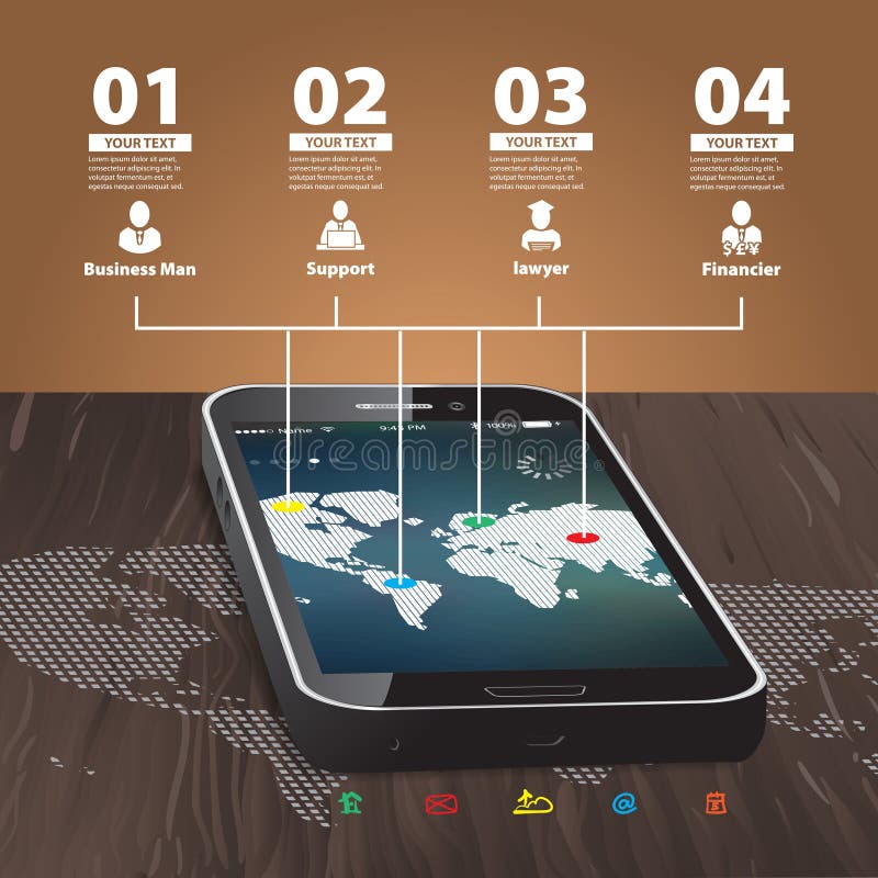
Free with trial Template for infographic with Mobile Phone with wooden Background and World Map. Map connection network vectors Template for infographic with Mobile Phone
Free with trial Cloud computing connection concept with business man on a blue technology background. Map connection network illustrations Business man with cloud connectivity concept. Cloud computing connection concept with business man on a blue technology background
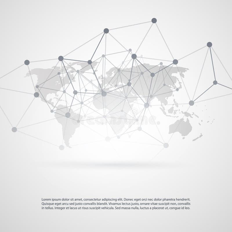
Free with trial Silver Grey Cloud Computing and Network Connections Concept Design with Transparent Geometric Mesh and World Map - Illustration in Editable Vector Format. Map connection network vectors Global Networks - Illustration for Your Business. Silver Grey Cloud Computing and Network Connections Concept Design with Transparent Geometric Mesh and World Map - Illustration in Editable Vector Format