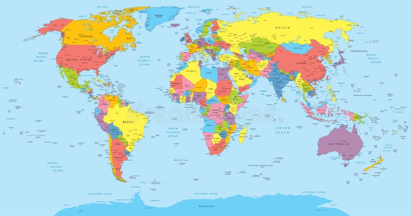
Free with trial Vector illustration of a High Detail Political Map of the world with different colors for each country. Each country has its capital and major cities. All seas and major lakes are named. Global colors used. All elements are separated in editable layers. Map has vectors World map with countries, country and city names. Vector illustration of a High Detail Political Map of the world with different colors for each country. Each country has its capital and major cities. All seas and major lakes are named. Global colors used. All elements are separated in editable layers.
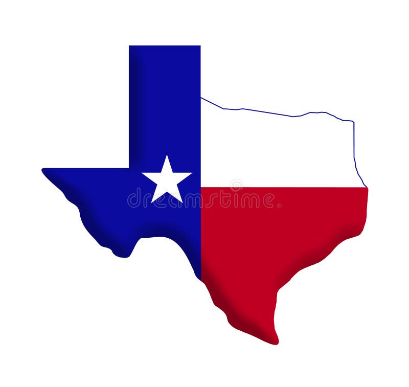
Free with trial Shape of the state of Texas. Star and colors of Texas flag incorporated inside map. *Texas shape has clipping path. Map has illustrations Texas Flag
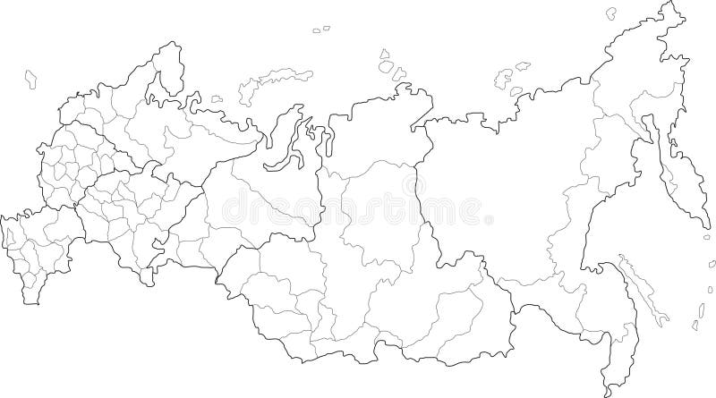
Free with trial Vector map of Russia on white background. The Russia map has borders of areas and regions. Map has vectors Russia map
Free with trial US map cut-out with the flag enclosed. The image has clipping path for easy Background clean-up. Map has illustrations US Flag-Map Inner Shadow. US map cut-out with the flag enclosed. The image has clipping path for easy Background clean-up
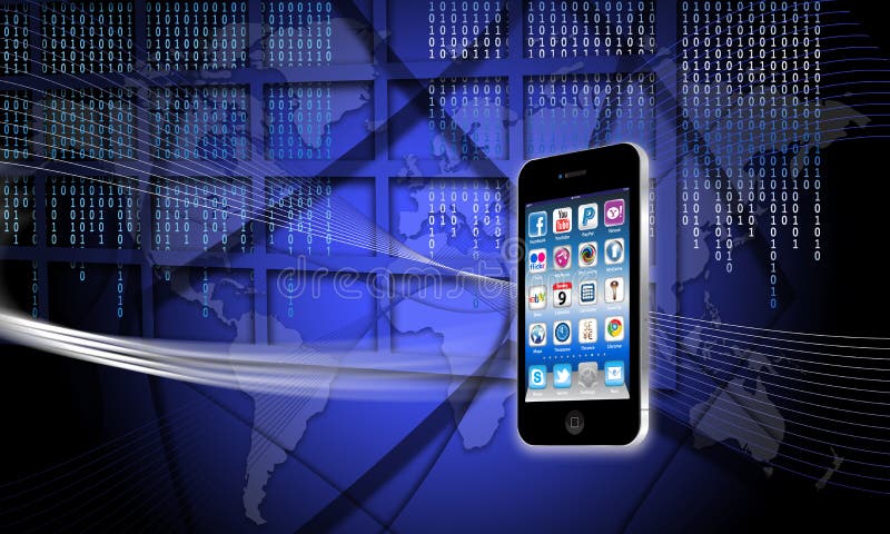
Free with trial An image for the concept of Secure World Global Technology. This computer generated graphic shows a views of the planet earth with digital data technology streams around it and a map of the world in the background. this graphic image demonstrating that with a secure firewall it is possible to pass data over the world wide web or internet securely. This is of grater importance now that mobile phones offer greater operational skills with email and web surfing as standard on many models like the apple iPhone, iPad or iPad. This serge in surfing has been lead by the ease of applications like apps and the apple apps store has sold over ten billion. Features Apple iphone 4S. Map has illustrations Secure World Global Technology
Free with trial This is an entire 50 state map of the united states including Alaska and Hawaii. It has clear defined outlines and no state abriviations. Map has illustrations USA 50 States. This is an entire 50 state map of the united states including Alaska and Hawaii. It has clear defined outlines and no state abriviations.
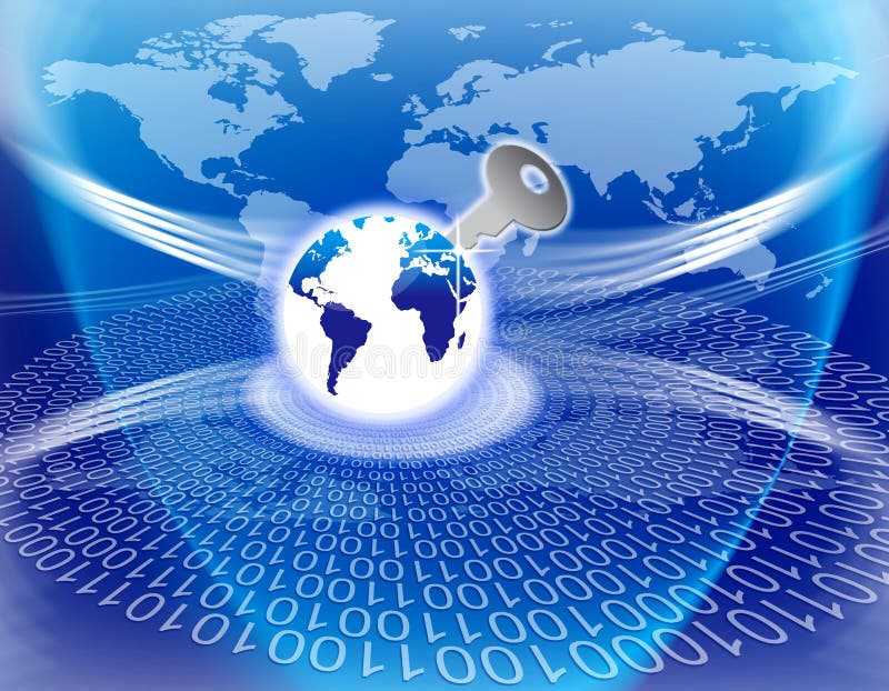
Free with trial An image for the concept of Secure Global Information Technology key. This computer generated graphic shows a circular view of plant earth with digital code and a map of the world in the background. The globe has a security key pushed into it to illustrate a firewall for safe access to the world wide web or internet in cyberspace. Map has illustrations Secure Global Information Technology key
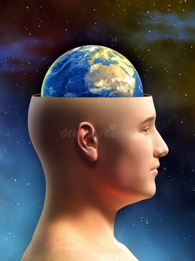
Free with trial Young male figure has the top of its head removed, showing the Earth in place of its brain. Digital illustration. Map has illustrations Earth brain. Young male figure has the top of its head removed, showing the Earth in place of its brain. Digital illustration.
Free with trial A couple of businessmen shaking hands. One has the world in his briefcase. Map has illustrations Positive Business. A couple of businessmen shaking hands. One has the world in his briefcase.
Free with trial Cross-section of the earth. Please note that land on the planet has been air brushed and the topography is not accurate. Map has illustrations Earth Cross-Section. Cross-section of the earth. Please note that land on the planet has been air brushed and the topography is not accurate.
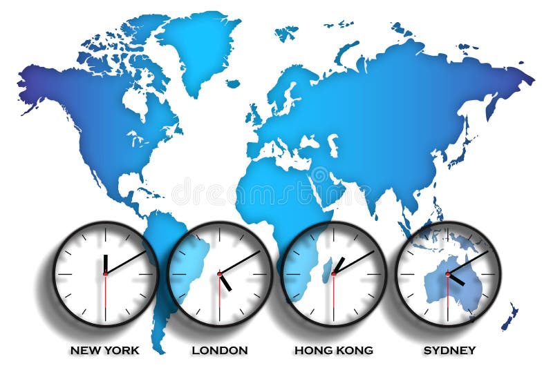
Free with trial An image of the world with clock faces showing different time zones on each one. The graphic also has an illustration of the world in map form showing each continent. It also shows four major world capitals, New York, London, Hong Kong, Sydney. Map has illustrations World map time zones. An image of the world with clock faces showing different time zones on each one. The graphic also has an illustration of the world in map form showing each continent. It also shows four major world capitals, New York, London, Hong Kong, Sydney
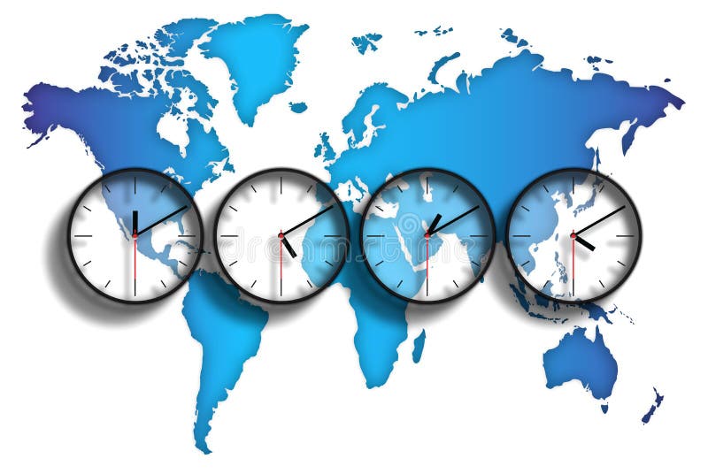
Free with trial An image of the world with clock faces showing different time zones on each one. The graphic also has an illustration of the world in map form showing each continent. Map has illustrations World map time zones. An image of the world with clock faces showing different time zones on each one. The graphic also has an illustration of the world in map form showing each continent.
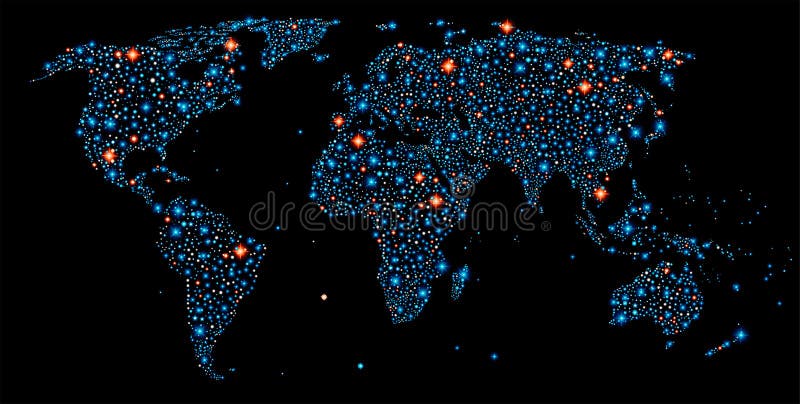
Free with trial World map made out of with stars of different sizes and brightness, all continents and ocean, has layers, to easy edit. Map has vectors World map
Free with trial Negotiation word on a road map ponting you with direction to set your goals, research options, compromise and reach an agreement that has mutual benefit. Map has illustrations Negotiation Road Map Directions Agreement Common Benefit Goal. Negotiation word on a road map ponting you with direction to set your goals, research options, compromise and reach an agreement that has mutual benefit
Free with trial Detail color map of African continent with borders. Each state is colored to the various color and has wrote the name. Map has vectors Map of Africa
Free with trial Vector map of Russia on white flag. The Russia map has borders of areas and regions. Map has vectors Map of Russia
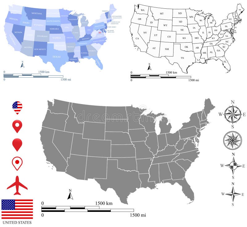
Free with trial These vector maps of USA include a high quality image file (jpg) and a vector file (eps) that can be scaled to any size. The maps and scales are accurately prepared by a GIS expert. The blank map has the names of US states in abbreviation and all maps have the boundary of US capital, Washington D. C. Additionally, two vector sets of geographic direction and placemark symbols are provided. Map has vectors USA map vector outline with scales of miles and kilometers in different designs. These vector maps of USA include a high quality image file (jpg) and a vector file (eps) that can be scaled to any size. The maps and scales are accurately prepared by a GIS expert. The blank map has the names of US states in abbreviation and all maps have the boundary of US capital, Washington D.C. Additionally, two vector sets of geographic direction and placemark symbols are provided.
Free with trial An image for the concept of Focus on Secure Global Information Technology key. This computer generated graphic shows a circular view of plant earth with digital code and a map of the world in the background. The globe has a security key pushed into it to illustrate a firewall for safe access to the world wide web or internet in cyberspace. In the background is a frame which guards the network from fraud access and a magnifying glass of the top as a symbol for focus. Map has illustrations Secure Global Information Technology key
Free with trial An image for the concept of Secure Global Information Technology key. This computer generated graphic shows a circular view of plant earth with digital code and a map of the world in the background. The globe has a security key pushed into it to illustrate a firewall for safe access to the world wide web or internet in cyberspace. In the background is a frame which guards the network from fraud access. Map has illustrations Secure Global Information Technology key
Free with trial Man has thoughts of earths destruction, birth or transmutation. Map has illustrations Man has thoughts of earth
Free with trial Desktop Computer System with mouse, keyboard, flat screen, and tower case. Silver and blue colors, clean vector with reflections, flat screen monitor has world map. Map has vectors Desktop Computer System with mouse, keyboard, flat screen, and tower case. Silver and blue colors
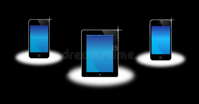
Free with trial An image of the latest, apple market leading products. The image shows the Apple ipod, ipad and iphone 4, each showing the touch screen and controls. The phone has a retina display screen for the highest resolution, and all three are world leading product from Apple Mac. This is implied by the products being shown on a cloud indicating that they are heavenly products. Map has illustrations Apple Iphone, ipad, ipod. An image of the latest, apple market leading products. The image shows the Apple ipod, ipad and iphone 4, each showing the touch screen and controls. The phone has a retina display screen for the highest resolution, and all three are world leading product from Apple Mac. This is implied by the products being shown on a cloud indicating that they are heavenly products.
Free with trial A graphic showing the letters SEO which stand for search engine optimization. The image also has a focus element shown by the drawing of a magnifying glass with an illustration of the world behind it. Map has illustrations SEO search engine optimization. A graphic showing the letters SEO which stand for search engine optimization. The image also has a focus element shown by the drawing of a magnifying glass with an illustration of the world behind it.
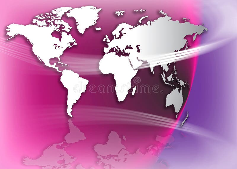
Free with trial Worldmap with green and blue shine and silhouettes of businesspeople This Version has in the background a binary number system. The worldmap is free designed in photoshop by ourselves!. Map has illustrations Shiny business. Worldmap with green and blue shine and silhouettes of businesspeople This Version has in the background a binary number system. The worldmap is free designed in photoshop by ourselves!
Free with trial Worldmap with green and blue shine and silhouettes of businesspeople This Version has in the background a squarestructure. The worldmap is free designed in photoshop by ourselves!. Map has illustrations Modern business. Worldmap with green and blue shine and silhouettes of businesspeople This Version has in the background a squarestructure. The worldmap is free designed in photoshop by ourselves!
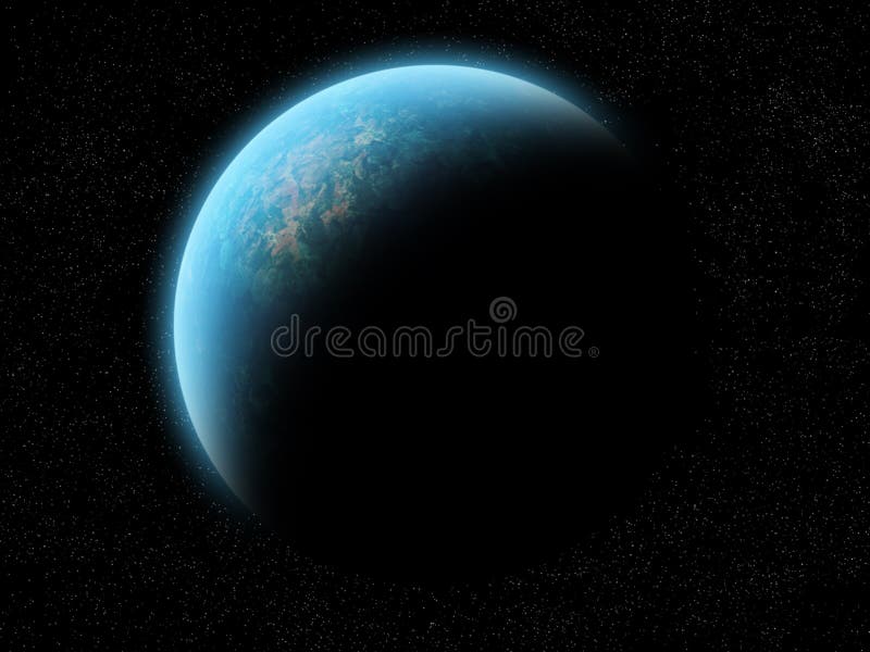
Free with trial A planet (maybe earth) half illuminated, half shadow. Over a black space with stars. The planet is blue, green, brown, yellow, red and orange (water, grass, mountains, desert). It has a blue glow, like an atmosphere. It's a great image for background. It can be cropped in many ways to create a background for your needs. Map has illustrations Planet half illuminated. A planet (maybe earth) half illuminated, half shadow. Over a black space with stars. The planet is blue, green, brown, yellow, red and orange (water, grass, mountains, desert). It has a blue glow, like an atmosphere. It's a great image for background. It can be cropped in many ways to create a background for your needs.
Free with trial 3d render of a Galapagos Tortoise isolated on a background of the South American continent. Tortoise has a clipping path. Text celebrates 150 years since the publication of On the Origin of Species. Map has illustrations Galapagos Tortoise (with Clipping Path). 3d render of a Galapagos Tortoise isolated on a background of the South American continent. Tortoise has a clipping path. Text celebrates 150 years since the publication of On the Origin of Species.
Free with trial A laptop computer has an internet website address with abstract icons on a white background. Map has illustrations Abstract Laptop Internet Computer with URL. A laptop computer has an internet website address with abstract icons on a white background.
Free with trial A giant magnifying glass is looking down at the earth and there are city buildings shaped in a circular pattern going around it. The magnifier has the Earth's map in it. There are clouds in the sky and a blank green area below it. Use it to represent the search for a house or person. Map has illustrations Magnifying Glass Looking Down at City Earth. A giant magnifying glass is looking down at the earth and there are city buildings shaped in a circular pattern going around it. The magnifier has the Earth's map in it. There are clouds in the sky and a blank green area below it. Use it to represent the search for a house or person.
Free with trial Google the major internet search network has expanded over the years and now covers google plus, images, maps, youtube, news and gmail in its activities. It is now possible to Search Google Network from your mobile any where in the world that their is an blue tooth or wi-fi internet connection. This image features the google brand logo, an Apple Mac computer window, with a magnifying glass as a symbol for search. Plus the iphone featuring a world map signifying that google is available to a worldwide market. Also in the background of this image are graduated rainbow colors with digital code featured over it. Map has illustrations Search Google Network from your mobile
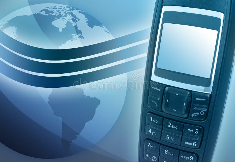
Free with trial A blue cell phone has a wave signal coming out of it and a globe of the Earth is in the background. Map has illustrations Blue Cell Phone with Earth. A blue cell phone has a wave signal coming out of it and a globe of the Earth is in the background
Free with trial Green recycle logo with earth globe inside isolated on a white background. Globe has Africa, Europe and Asia continent on the front of it. Map has illustrations Recycle logo with earth inside isolated on white. Green recycle logo with earth globe inside isolated on a white background. Globe has Africa, Europe and Asia continent on the front of it.
Free with trial Shape of the state of Texas showing money. Flag and state on a rustic textured background. Shape of Texas has clipping path. Map has illustrations Texas Fortune. Shape of the state of Texas showing money. Flag and state on a rustic textured background. Shape of Texas has clipping path.
Free with trial The state of Texas in Red & Blue, with a long horn skull in the middle the long horn has red and blue horns, and a star in the top of Texas. Map has illustrations State of Texas
Free with trial Illustration of the united kingdom flag as it has some air behind. Map has illustrations United Kingdom flag
Free with trial Mapping pins icon EPS 10 vector file has transparency (shadow under the icons). Map has vectors Mapping pins icon
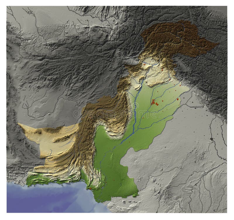
Free with trial Shaded Relief Map of Pakistan, seen from above. Shows major cities and rivers, surrounding territory greyed out. Artificially colored according to terrain height. Rivers and cities are shown embossed, the interior of the country is slightly elevated. The map projection is mercator. The image has an embedded work path to mask out the background. Map has illustrations Pakistan, relief map. Shaded Relief Map of Pakistan, seen from above. Shows major cities and rivers, surrounding territory greyed out. Artificially colored according to terrain height. Rivers and cities are shown embossed, the interior of the country is slightly elevated. The map projection is mercator. The image has an embedded work path to mask out the background.
Free with trial Blank maps of North America. The map has a soft grunge and vintage atmosphere, which acts as a watercolor painting. Map has illustrations North America - Vintage Map Backgrounds. Blank maps of North America. The map has a soft grunge and vintage atmosphere, which acts as a watercolor painting.
Free with trial Vector map of Russia on flag background. The Russia map has borders of areas and regions. Map has illustrations Russia map
Free with trial An image of the latest, market leading, Apple mobile phone iphone 4S 5 showing the touch screen and controls. The phone has a retina display screen for the highest resolution. this image also shows a drawing of the map of the world as this is a world leading product from Apple Mac. Map has vectors Apple Iphone 4S 5. An image of the latest, market leading, Apple mobile phone iphone 4S 5 showing the touch screen and controls. The phone has a retina display screen for the highest resolution. this image also shows a drawing of the map of the world as this is a world leading product from Apple Mac.
Free with trial An image for outer space showing a map of the planet earth with effect lines going around the globe suggesting movement of data, or network information like email ecommerce or banking products on a global scale. The global village has finally come to the one world arena. Map has illustrations World Effect outer space. An image for outer space showing a map of the planet earth with effect lines going around the globe suggesting movement of data, or network information like email ecommerce or banking products on a global scale. The global village has finally come to the one world arena.
Free with trial An image for outer space showing a map of the planet earth with effect lines going around the globe suggesting movement of data, or network information like email ecommerce or banking products on a global scale. The global village has finally come to the one world arena. Map has illustrations World Effect outer space. An image for outer space showing a map of the planet earth with effect lines going around the globe suggesting movement of data, or network information like email ecommerce or banking products on a global scale. The global village has finally come to the one world arena.
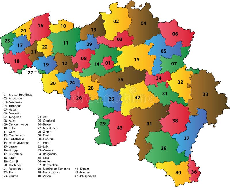
Free with trial Map with the 43 arrondissements of Belgium. Each arrondissement has a different color and the border between arrondissements is black. Map has vectors Arrondissements of Belgium
Free with trial Banner World Wide Activity This banner has a basic design with the connecting shapes the globe planet and map. For instance it can be a good background for Internet Trade or Travelling related subjects. Map has illustrations Banner world wide activities. Banner World Wide Activity This banner has a basic design with the connecting shapes the globe planet and map. For instance it can be a good background for Internet Trade or Travelling related subjects.
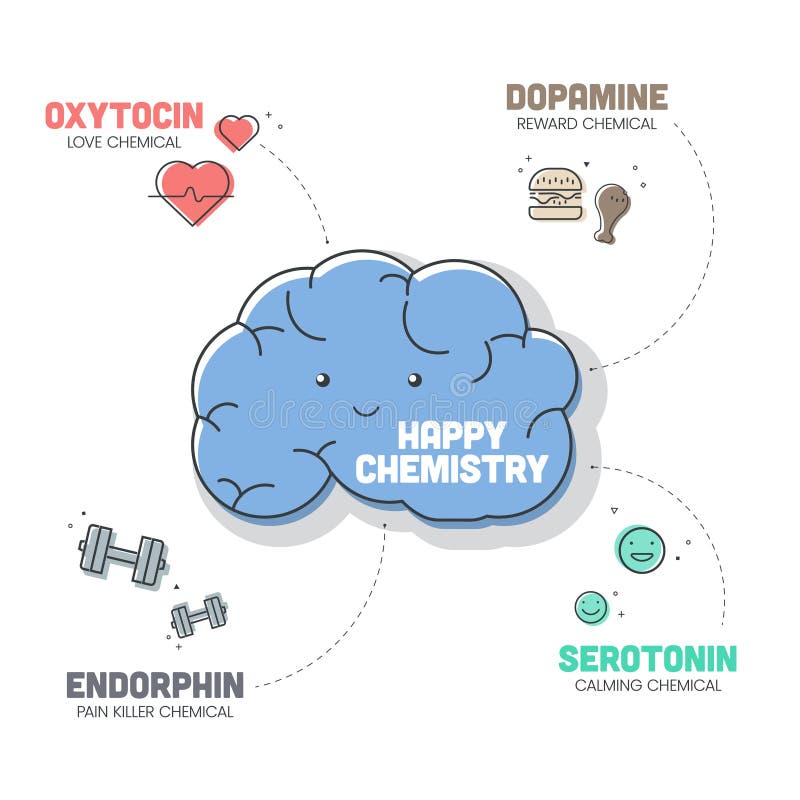
Free with trial Happy Chemistry infographic has 4 types of Chemical hormones such as Oxytocin (Love), Serotonin (Calming), Dopamine (Reward) and Endorphin (Pain Killer). Happy chemicals concept. Presentatation slide. Map has vectors Happy Chemistry infographic has 4 types of Chemical hormones. Presentatation slide. Happy Chemistry infographic has 4 types of Chemical hormones such as Oxytocin (Love), Serotonin (Calming), Dopamine (Reward) and Endorphin (Pain Killer). Happy chemicals concept. Presentatation slide
Free with trial An image of the world globe or world showing the earth in flat form. The image is for the concept of global email and has an @ symbol on a laptop computer and arrow flying around the earth in the atmosphere which has graphic images of clouds. This image is for mail delivery via the internet. Map has illustrations Global world email. An image of the world globe or world showing the earth in flat form. The image is for the concept of global email and has an @ symbol on a laptop computer and arrow flying around the earth in the atmosphere which has graphic images of clouds. This image is for mail delivery via the internet.
Free with trial An image of the world which is computer generated and has red glow of a rainbow in the sky or outer space area of the earth or globe illustration. Map has illustrations World globe earth. An image of the world which is computer generated and has red glow of a rainbow in the sky or outer space area of the earth or globe illustration.
Free with trial An image of the world globe or world showing the earth in flat form. The image is for the concept of global email and has an @ symbol and arrow flying around the earth in the atmosphere. This image is for mail delivery via the internet. Map has vectors Global world email. An image of the world globe or world showing the earth in flat form. The image is for the concept of global email and has an @ symbol and arrow flying around the earth in the atmosphere. This image is for mail delivery via the internet.
Free with trial An image of the world globe showing the earth in flat form. The image is for the concept of global information and has an i for information letter in a circle and a arrow flying around the earth in the atmosphere. Map has illustrations World information. An image of the world globe showing the earth in flat form. The image is for the concept of global information and has an i for information letter in a circle and a arrow flying around the earth in the atmosphere.
Free with trial An image of the world globe showing the earth in round form. The image is for the concept of global information search and security and has an magnifying glass, which is a magnify symbol for search over the planet image. The earth is also reflected in the material that it sits on. This concept focuses on the european part of the globe. Map has illustrations World information search. An image of the world globe showing the earth in round form. The image is for the concept of global information search and security and has an magnifying glass, which is a magnify symbol for search over the planet image. The earth is also reflected in the material that it sits on. This concept focuses on the european part of the globe
Free with trial Vector file has layers, all icons in two versions are included. Map has vectors Green bar business icons. Vector file has layers, all icons in two versions are included.
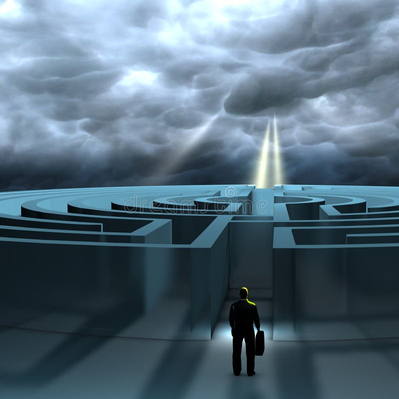
Free with trial A business man ready to find a path to reach its destination. In order to reach its goal, the business man has to make best decisions. Map has illustrations A business man ready to find a path to reach its destination
Free with trial Going for the present for now conceptual image with a compass that has instead of north word now a metaphor catch the day. Map has illustrations Chasing the moment. Going for the present for now conceptual image with a compass that has instead of north word now a metaphor catch the day
Free with trial Vector file has layers, all icons in four versions are included. Map has vectors Aqua business icons. Vector file has layers, all icons in four versions are included.
Free with trial The Honey Island Swamp Monster is a cryptid of Louisiana folklore said to haunt the swamps in St. Tammany Parish, Louisiana. It bears a striking resemblance to the typical description of a sasquatch, a large hairy humanoid, except that it has gray rather than brown fur. It is also described as having yellow eyes and a terrible odor. Rumor has it that it may be the descendant of chimpanzees that got loose during a train crash in the area. Today it is said to reside in the area of the Pearl River. It also goes by the names Cajun Sasquatch and The Thing. It is sometimes confused with the Rougarou, which is a werewolf like cryptid said to inhabit some of the same regions. Map has illustrations The Honey Island Swamp Monster
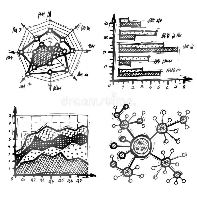
Free with trial Charts and diagrams drawn in doodle style. Qualitative vector (EPS-10) illustration about infographics, analytics, data visualization, statistics, business presentation, etc. It has only gradients. Map has vectors Hand drawn different types of infographics. Charts and diagrams drawn in doodle style. Qualitative vector (EPS-10) illustration about infographics, analytics, data visualization, statistics, business presentation, etc. It has only gradients
Free with trial The frog is washing in the bathroom, and she has a very bad headache. Map has vectors Frog in the bathroom with a headache. The frog is washing in the bathroom, and she has a very bad headache
Free with trial Mapping pins icon EPS 10 vector file has transparency (shadow under the icons). Map has vectors Mapping pins icon
Free with trial Mapping pins icon EPS 10 vector file has transparency, shadow under the icons. Map has vectors Mapping pins icon
Free with trial Tourist map of Egypt. Egypt has one of the longest histories of any country. Iconic monuments such as the Giza Necropolis and its Great Sphinx. Map has illustrations Map of Egypt
Free with trial Lean Principles strategy infographic diagram chart illustration banner template with icon set vector has define value, map value stream, create flow, establish pull and pursuit perfection. Business. Map has vectors Lean Principles strategy infographic diagram chart illustration banner template with icon set vector has define value, map value
Free with trial Illustrative image of the location icon, the shop address has been recorded on the GPS map, creative drawing. Map has vectors Illustrative image of the location icon, the shop address has been recorded on the GPS map
Free with trial Go-to-Market Strategy concept. Road map infographic has 5 steps to analyze such as provocation, discovery, diagnostic, design and recommendation. Elements of value concept. Business presentation vector. Map has vectors Go-to-Market Strategy concept. Road map infographic has 5 steps to analyze such as provocation, discovery, diagnostic, design and
Free with trial Customer Journey Map icon infographic has 6 steps to analyze such as customer, search, promotion, reviews, marketing, target and store. Business infographic presentation vector. Diagram element banner. Map has vectors Customer Journey Map icon infographic has 6 steps to analyze such as customer, search, promotion, reviews, marketing, target and
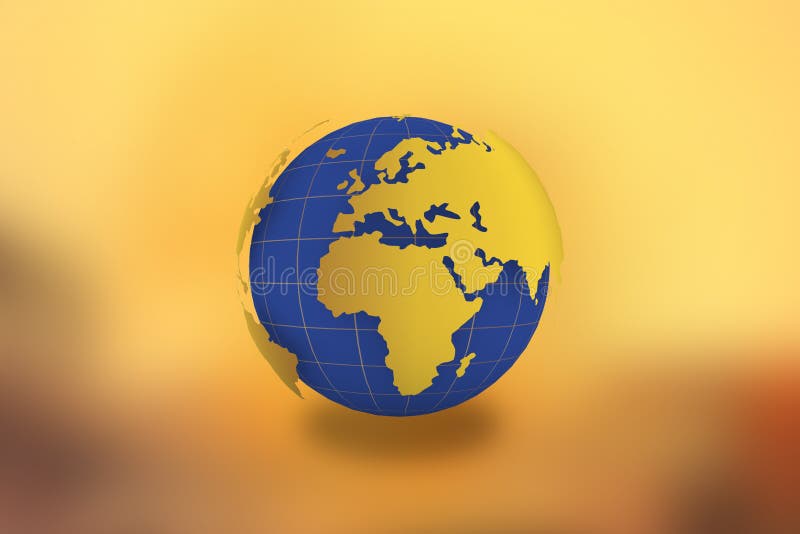
Free with trial World Map Globe in golden background-21 JULY 2017. View of globe from space. Earth planet with ocean and continents. Qualitative illustration for travel planet Earth geography tourism world map trip cartography etc. It has transparency masks blending modes gradients. Geographic map of the world - composite illustration. Map has illustrations World Map Globe in golden background -21 JULY 2017. World Map Globe in golden background-21 JULY 2017. View of globe from space. Earth planet with ocean and continents. Qualitative illustration for travel planet Earth geography tourism world map trip cartography etc. It has transparency masks blending modes gradients. Geographic map of the world - composite illustration.
Free with trial An image of the world with clock faces showing different time zones on each one. The graphic also has an illustration of the world in map form showing all continent. Map has illustrations World map time zones. An image of the world with clock faces showing different time zones on each one. The graphic also has an illustration of the world in map form showing all continent.
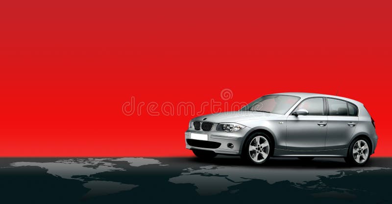
Free with trial BMW car on a world map isolated in Red background. The image has clipping path for car, windows, and world map. Full source psd file is available upon request. Map has illustrations SUV Jeep and world map. BMW car on a world map isolated in Red background. The image has clipping path for car, windows, and world map. Full source psd file is available upon request.
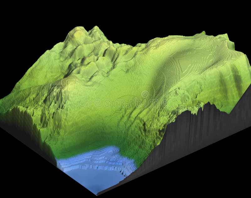
Free with trial The image represents a 3d map of a mountain with lake, the geomorphology is generic, as it can be suitable for many contexts, has no symbols, icons as it must be customized according to the need. Map has illustrations 3d map of a mountain with lake
Free with trial 3D relief map of Pakistan, line of sight towards north-east. Shows major cities and rivers, surrounding territory greyed out. Artificially colored according to terrain height. Rivers and cities are shown embossed, the interior of the country is slightly elevated. The map projection is mercator. The image has an embedded work path to mask out the background. Map has illustrations Pakistan, 3D relief map. 3D relief map of Pakistan, line of sight towards north-east. Shows major cities and rivers, surrounding territory greyed out. Artificially colored according to terrain height. Rivers and cities are shown embossed, the interior of the country is slightly elevated. The map projection is mercator. The image has an embedded work path to mask out the background.
Free with trial The image represents an isometric 3d map of a lake in evaporation of water, the depression of the muddy ground is highlighted, with a brown complexion, the geomorphology is generic, as it can be adapted to many contexts, has no symbols, icons as it must be customized according to need. Map has illustrations Isometric 3d map of a lake in evaporation of water
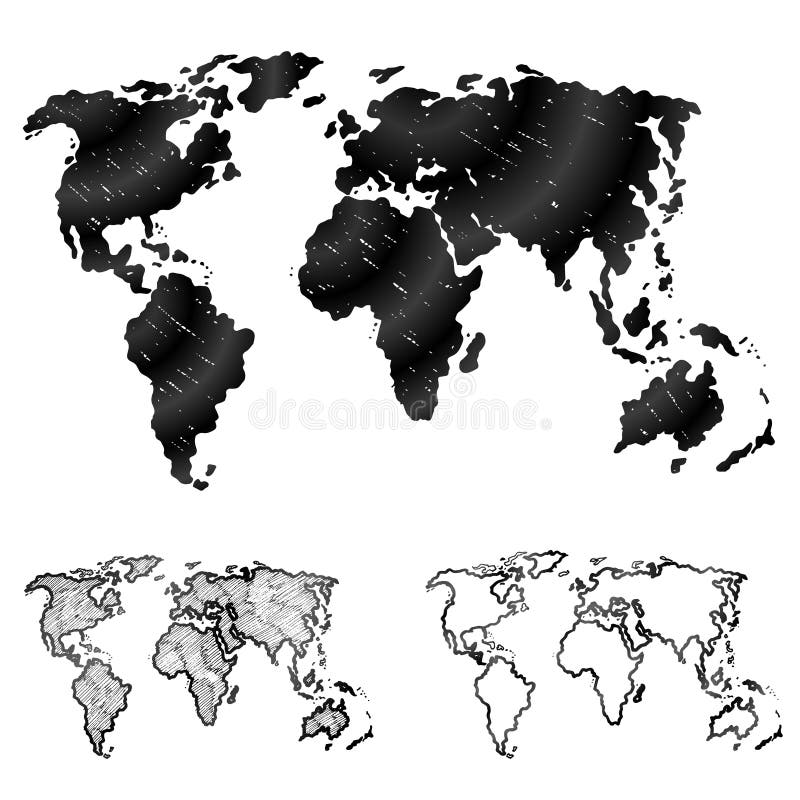
Free with trial Sketch of global map in doodle style. Qualitative vector (EPS-10) graphics for geography, mapping, tourism, navigation, cartography, etc. It has only gradients. Map has vectors Hand drawn world map in three versions. Sketch of global map in doodle style. Qualitative vector (EPS-10) graphics for geography, mapping, tourism, navigation, cartography, etc. It has only gradients
Free with trial The image represents a 3d map of a mountain, the geomorphology is generic, as it can be suitable for many contexts, has no symbols, icons as it must be customized according to the need. Map has illustrations 3d map of a mountain
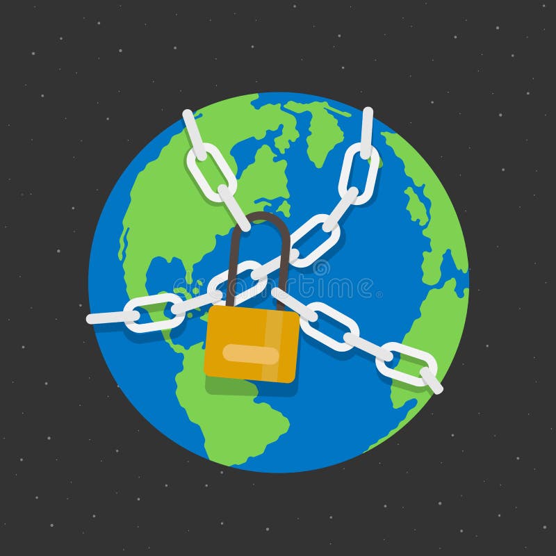
Free with trial Lockdown concept with the globe world that has Chained and locked. Map has vectors Lockdown concept with the globe world that has Chained and locked
Free with trial Radionics chart, Radiesthesia Desimpregnador. It has the characteristics of the Decagon, cleanliness and valorization, turning more to the physical and material plane, having four circles. vector isolated. Map has vectors Radionics chart, Radiesthesia Desimpregnador. It has the characteristics of the Decagon, cleanliness and valorization, vector. Radionics chart, Radiesthesia Desimpregnador. It has the characteristics of the Decagon, cleanliness and valorization, turning more to the physical and material plane, having four circles. vector isolated
Free with trial Save the Earth, it`s the only planet that has dogs. - Cute dog in Earth planet with heart. Good for T shirt print, poster, card, label, banner and other decoration. Map has vectors Save the Earth, it`s the only planet that has dogs. - Cute dog in Earth planet with heart.
Free with trial Debt free - a financial state where an individual or household has paid off all outstanding debts, including credit card balances, loans, and mortgages, mind map infographics sketch. Map has vectors Debt free - a financial state where an individual or household has paid off all outstanding debts, including credit card balances
Free with trial Blank maps of South America. The map has a soft grunge and vintage atmosphere, which acts as a watercolor painting. Map has illustrations South America - Vintage Map Backgrounds. Blank maps of South America. The map has a soft grunge and vintage atmosphere, which acts as a watercolor painting.
Free with trial Tower of London - Map / plan of the ancient buildings and modern barracks. The Waterloo barracks, one of the main buildings of the inner court of the Tower of London. It is commonly called `Waterloo block` and has the particularity of housing the famous jewels of the British crown that contain splendid ornamental pieces. The Tower of London, officially Her Majesty`s Royal Palace and Fortress of the Tower of London, is a historic castle on the north bank of the River Thames in central London. Map has illustrations Vintage plan of the Tower of London 1930s. Tower of London - Map / plan of the ancient buildings and modern barracks. The Waterloo barracks, one of the main buildings of the inner court of the Tower of London. It is commonly called `Waterloo block` and has the particularity of housing the famous jewels of the British crown that contain splendid ornamental pieces. The Tower of London, officially Her Majesty`s Royal Palace and Fortress of the Tower of London, is a historic castle on the north bank of the River Thames in central London.