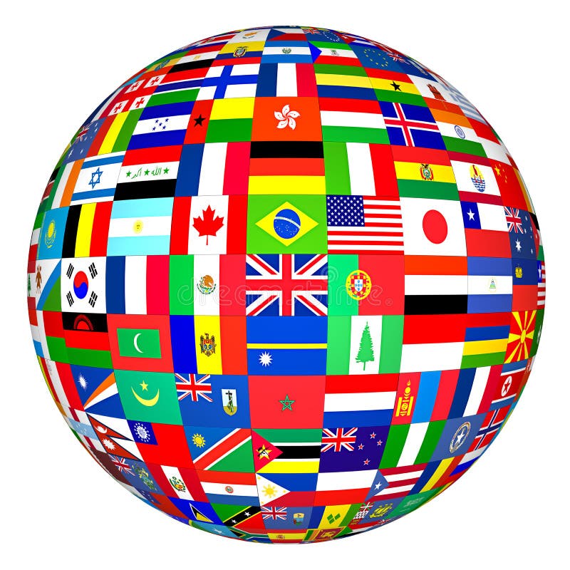
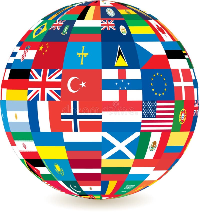
Free with trial Flags of the world in globe format. Map latitude longitude illustrations Flags globe. Flags of the world in globe format.
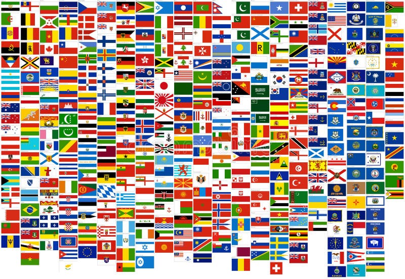
Free with trial 240 flags of the world. It's good for texture 3D. Map latitude longitude illustrations Flags of the world (240 flags). 240 flags of the world. It's good for texture 3D.
Free with trial Blue ships navigation illustration with compass, lighthouse and ancient maps. Map latitude longitude illustrations Blue ships navigation illustration with compass
Free with trial Black wireframe globe icon isolated on white background illustration. Map latitude longitude vectors Wireframe globe icon
Free with trial Vector collection of black and white compass icons. Map latitude longitude vectors Vector compass icons. vector collection of black and white compass icons
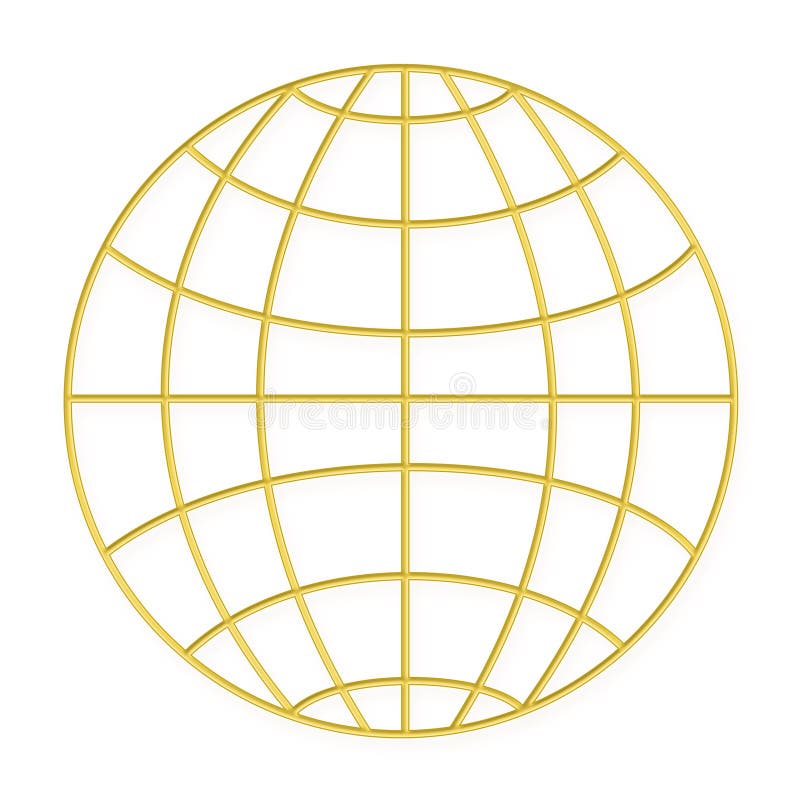
Free with trial Golden Wire frame globe isolated on white background illustration. Map latitude longitude vectors Wire frame globe - Gold. Golden Wire frame globe isolated on white background illustration
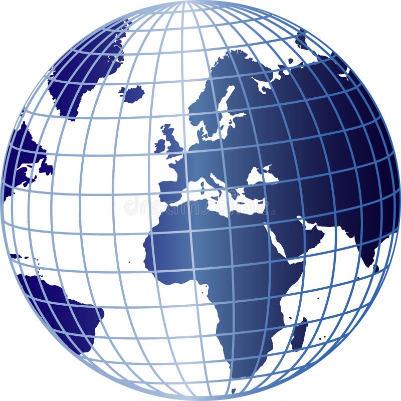
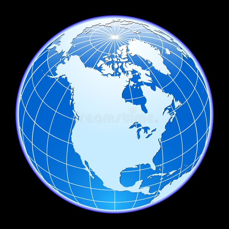
Free with trial Illustration of a blue and white globe with a grid overlay, isolated on a white background. Map latitude longitude vectors Globe with Grid Overlay. Illustration of a blue and white globe with a grid overlay, isolated on a white background.
Free with trial Set of vintage antique wind rose nautical compass signs labels emblems elements. Vector illustration. Map latitude longitude vectors Set of vintage antique wind rose nautical compass signs labels e
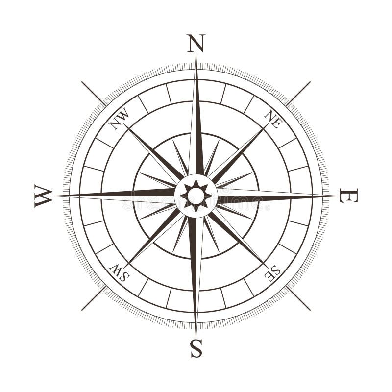
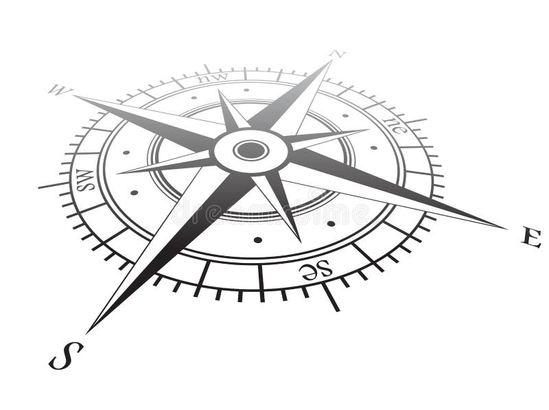
Free with trial Black compass rose isolated on white - vector illustration. Map latitude longitude vectors Black compass rose isolated on white
Free with trial Hand drawn globe with Africa, Europe, Asia and North America. Map latitude longitude vectors Globe
Free with trial Compass illustration with black background and marks for each of the 360 degrees. Map latitude longitude vectors Compass3. Compass illustration with black background and marks for each of the 360 degrees
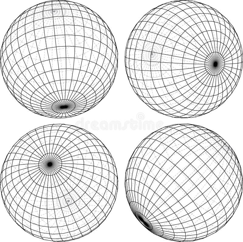
Free with trial Vector wire-frame globes in four positions. Map latitude longitude vectors 4globes3d. Vector wire-frame globes in four positions
Free with trial Black and silver compass rose vector, isolated on white. This is also available in an Illustrator ai file. Map latitude longitude vectors Compass Rose
Free with trial Compass Design, (also know as wind rose in some places). Map latitude longitude vectors Compass1 (Brujula1). Compass Design, (also know as wind rose in some places)
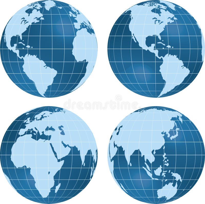
Free with trial Earth globe planet views isolated on white. Map latitude longitude vectors Earth globe planet view. Earth globe planet views isolated on white.
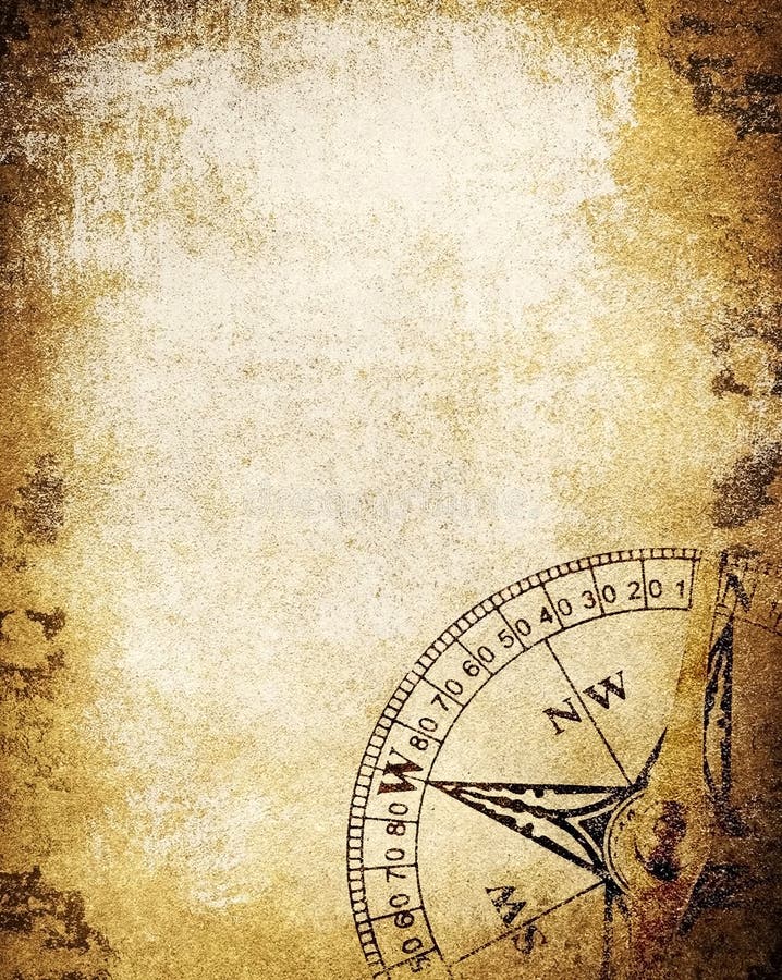
Free with trial The vintage paper with compass. Map latitude longitude illustrations Vintage paper with compass
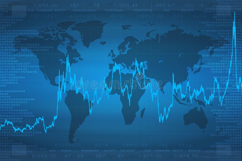
Free with trial Background of continents. good to use for finances and business or something related to the world. Map latitude longitude illustrations Continents (Business Graph). Background of continents. good to use for finances and business or something related to the world.
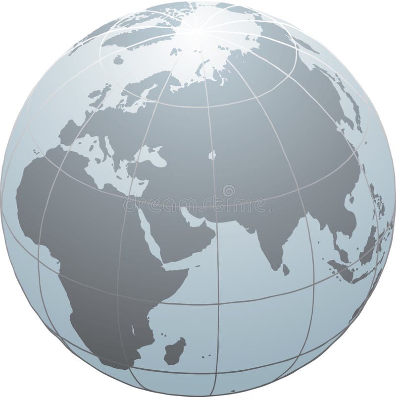
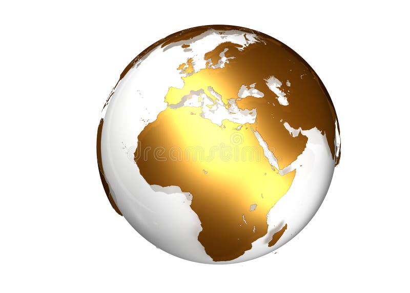
Free with trial Golden globe with view on Asia against a white background. Map latitude longitude illustrations Golden globe with view on Asia
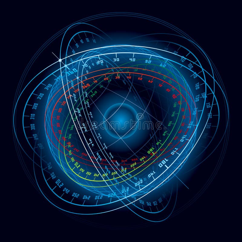
Free with trial Fantasy Space Navigation Sphere. Vector Illustration (EPS v. 8. 0). Map latitude longitude vectors Fantasy Space Navigation Sphere.
Free with trial Golden globe with view on Europe and Africa against a white background. Map latitude longitude illustrations Golden globe with view on Europe and Africa
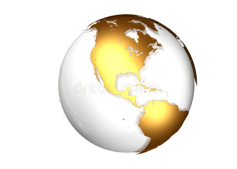
Free with trial Golden globe with view North and South America against a white background. Map latitude longitude illustrations Golden globe with view North and South America
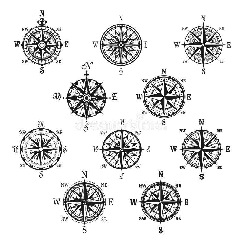
Free with trial Wind rose compass icons set, vector illustration. Map latitude longitude vectors Compass wind rose. Wind rose compass icons set, vector illustration
Free with trial To make alpha channel for Natural Color Globe North America Focus search for 4780. Map latitude longitude illustrations Globe Natural Color North America Focus Alpha Channel search for. To make alpha channel for Natural Color Globe North America Focus search for 4780
Free with trial Retro style compass icon, wind rose vintage compass icon, compass logon. Map latitude longitude vectors Retro style compass icon, wind rose vintage compass icon
Free with trial Compass isolated symbol set. Vintage compass and wind rose for navigation and orientation with cardinal directions North, East, South and West. Adventure travel, nautical chart, cartography design. Map latitude longitude vectors Vintage compass and wind rose isolated symbol set. Compass isolated symbol set. Vintage compass and wind rose for navigation and orientation with cardinal directions North, East, South and West. Adventure travel, nautical chart, cartography design
Free with trial Compass icon vector, simple vector icon. Map latitude longitude vectors Compass icon vector
Free with trial Brushstroke and crayon sketchy illustration of a globe in white back. Map latitude longitude illustrations Globe illustration sketch. Brushstroke and crayon sketchy illustration of a globe in white back
Free with trial Illustration drawing of around the world flags. Map latitude longitude illustrations World flags
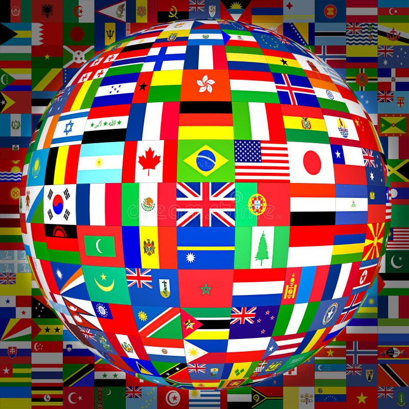
Free with trial World flags sphere. Vector illustration. Map latitude longitude vectors World flags sphere.
Free with trial Flags of the world in globe and hands. Vector illustration. Map latitude longitude vectors Flags of the world in globe and hand. Flags of the world in globe and hands. Vector illustration.
Free with trial Flags of the world, symbol of peace. Map latitude longitude vectors Various flags. Flags of the world, symbol of peace
Free with trial World flags sphere. Vector illustration. Map latitude longitude vectors World flags sphere
Free with trial World flags sphere. Vector illustration. Map latitude longitude vectors World flags sphere
Free with trial Flags of the world in globe format (with background). Map latitude longitude illustrations Flags Globe (with background). Flags of the world in globe format (with background).
Free with trial Globe of world flags with a drop shadow detail at the bottom. Map latitude longitude illustrations Globe of world countries' flags. Globe of world flags with a drop shadow detail at the bottom
Free with trial Europe centric globe world illustration with a ring of international flags. Map latitude longitude illustrations Globe earth with flag ring, Europe centric. Europe centric globe world illustration with a ring of international flags
Free with trial Over 400 flags of the world countries,regions,states and/or naval ensign and/or civil ensign. Not only the flags for almost all of the countries and regions, it contains many flags for some states of some country,for example, every state's falg of USA and Germany and some other countries. And it contains some historical flags for some countries and naval flags. Map latitude longitude illustrations Flags of the world country,states and naval(war,fi. Over 400 flags of the world countries,regions,states and/or naval ensign and/or civil ensign. Not only the flags for almost all of the countries and regions, it contains many flags for some states of some country,for example, every state's falg of USA and Germany and some other countries. And it contains some historical flags for some countries and naval flags.
Free with trial World map (Geographic WGS84 Projection). Map latitude longitude vectors World map Latitude/Longitude. World map (Geographic WGS84 Projection)
Free with trial Earth planet globe grid of meridians and parallels, or latitude and longitude. 3D vector illustration. Map latitude longitude vectors Earth planet globe grid of meridians and parallels, or latitude and longitude. 3D vector illustration
Free with trial Earth planet globe grid of black thick meridians and parallels, or latitude and longitude. 3D vector illustration. Map latitude longitude vectors Earth planet globe grid of black thick meridians and parallels, or latitude and longitude. 3D vector illustration.
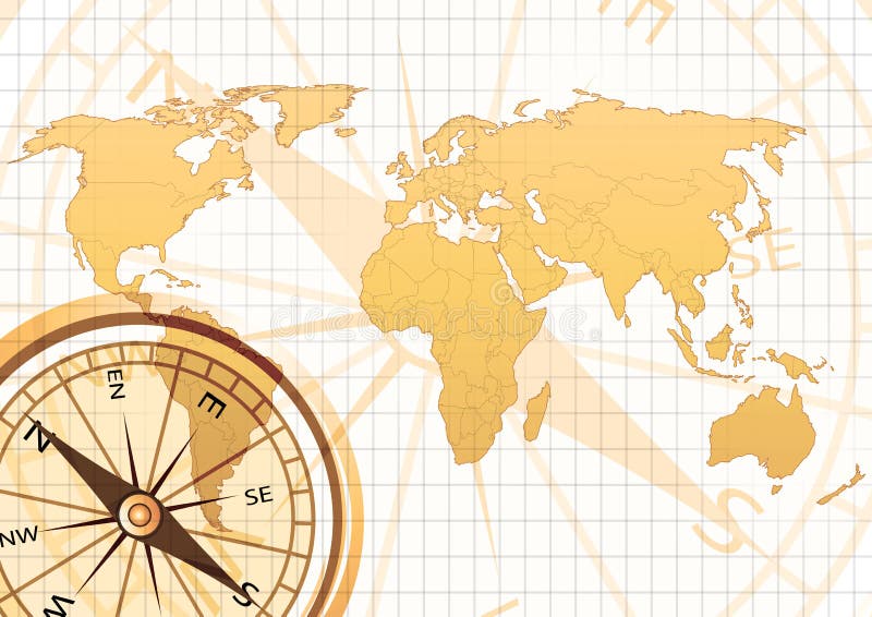
Free with trial Old world map with compass in grid background. Map latitude longitude illustrations Old map. Old world map with compass in grid background
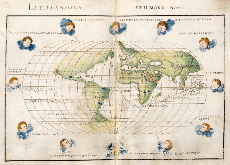
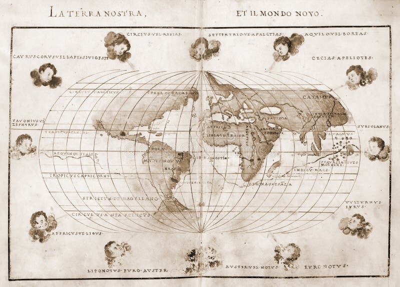
Free with trial Antique map of the world. Map latitude longitude illustrations Antique world map. Antique map of the world
Free with trial Antique map of the world. Map latitude longitude illustrations Antique world map. Antique map of the world
Free with trial Antique map of the world. Map latitude longitude illustrations Antique world map. Antique map of the world
Free with trial Antique map of the world. Map latitude longitude illustrations Antique world map. Antique map of the world
Free with trial Earth with matte gold and sandblasted textures. Accurate coordinates (latitude and longitude) and coastline. Map latitude longitude illustrations Planet Globe Earth 3D isolated. Earth with matte gold and sandblasted textures. Accurate coordinates (latitude and longitude) and coastline.
Free with trial Earth with matte gold and sandblasted textures. Accurate coordinates (latitude and longitude) and coastline. Map latitude longitude illustrations Planet Globe Earth 3D isolated. Earth with matte gold and sandblasted textures. Accurate coordinates (latitude and longitude) and coastline.
Free with trial A simple world map, with blue colored water!. Map latitude longitude illustrations World Map
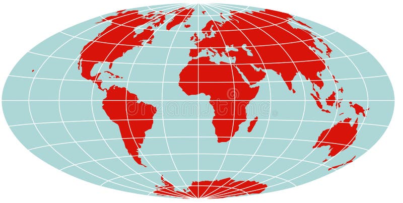
Free with trial A colored vector world map in Van der Grintens projection, showing longitudes and latitudes. Map latitude longitude vectors World Map - Van der Grinten Projection. A colored vector world map in Van der Grintens projection, showing longitudes and latitudes
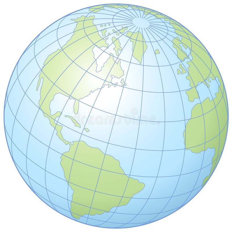
Free with trial Simple graphic illustration of the globe showing latitude and longitude. Map latitude longitude vectors Globe
Free with trial Isolated rustic globe Earth accurate geographic coordinates (latitude and longitude grid) wire framework. Old rusty ruined, vintage aging style. PNG with transparent background. Map latitude longitude vectors Rust Earth planet 3D Globe. Isolated rustic globe Earth accurate geographic coordinates (latitude and longitude grid) wire framework. Old rusty ruined, vintage aging style. PNG with transparent background.
Free with trial World map metallic blue high resolution 3d render. Map latitude longitude illustrations World map
Free with trial Map of Alaska, USA with small location map. Vector illustration. Map latitude longitude illustrations Alaska map. Map of Alaska, USA with small location map. Vector illustration.
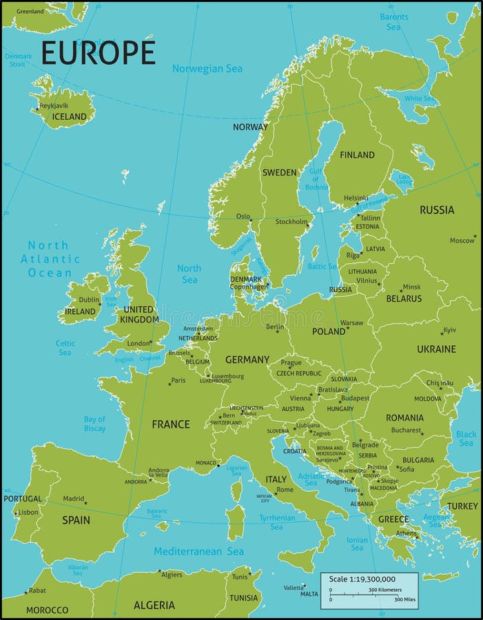
Free with trial A map of Europe with all country names, and country capital cities. Organised in vector version in easy to use layers. Colors and strokes also easily changed. Layers include: Keys, country names, capital city markers, capital city names, longitude and latitude lines and more for easy customisation. Map latitude longitude vectors Map of Europe
Free with trial A map of the world with a nice calm gradient. Map latitude longitude illustrations Map of the world
Free with trial Vector abstract blue map with wavy lines. Map latitude longitude vectors Abstract blue map
Free with trial Vector design of abstract blue map with no names. Map latitude longitude vectors Abstract blue map
Free with trial Painting of world map on hand made paper. Map latitude longitude illustrations World map painting. Painting of world map on hand made paper
Free with trial World map self illuminated. Concept of global information and technology of communication. Map latitude longitude illustrations World Map Illuminated. World map self illuminated. Concept of global information and technology of communication.
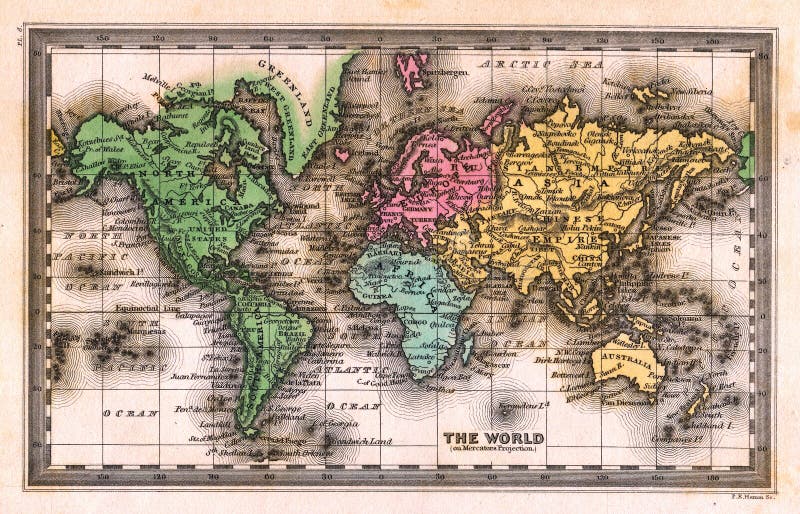
Free with trial Image is taken from an original Antique Map by John Carey. Map latitude longitude illustrations 1835 Antique World Map. Image is taken from an original Antique Map by John Carey
Free with trial Map of Treasure Island with the specified path and blank space for text. Map latitude longitude illustrations Map of Treasure Island
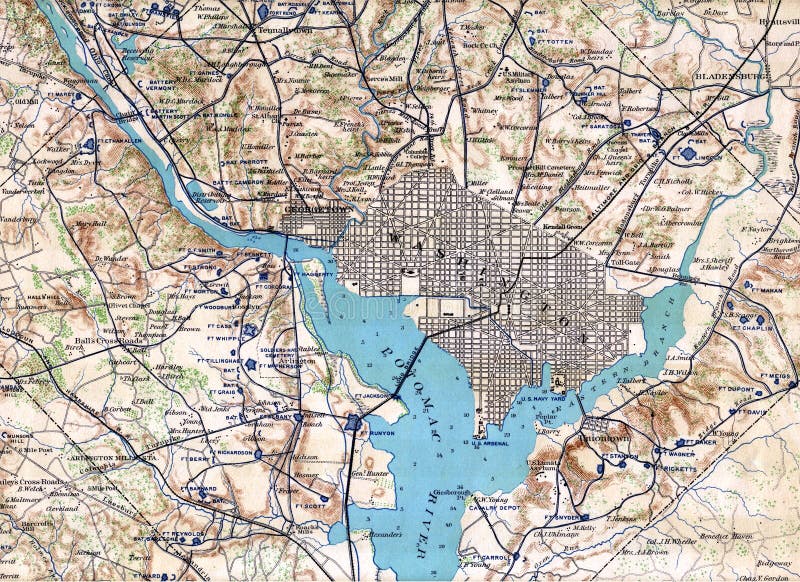
Free with trial Image is taken from an original 1890 Antique Map from the Official Congressional Civil War Records to illustrate Washington at the time of the Civil War showing Union Defenses. Map latitude longitude illustrations 1890 Map Washington DC. Image is taken from an original 1890 Antique Map from the Official Congressional Civil War Records to illustrate Washington at the time of the Civil War showing Union Defenses.
Free with trial Earth with matte gold and sandblasted textures. Accurate coordinates (latitude and longitude) and coastline. Map latitude longitude illustrations Planet Globe Earth 3D isolated. Earth with matte gold and sandblasted textures. Accurate coordinates (latitude and longitude) and coastline.
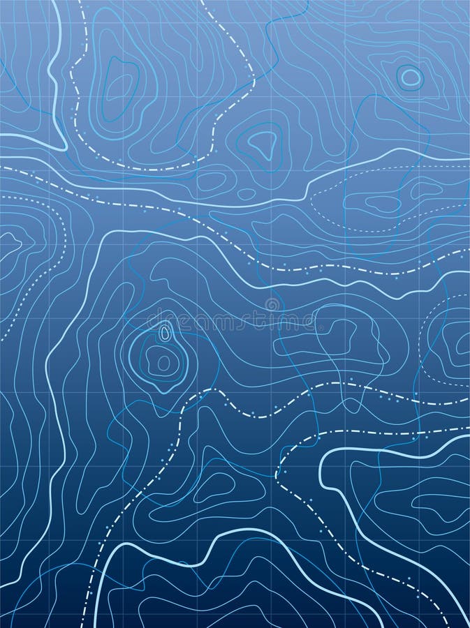
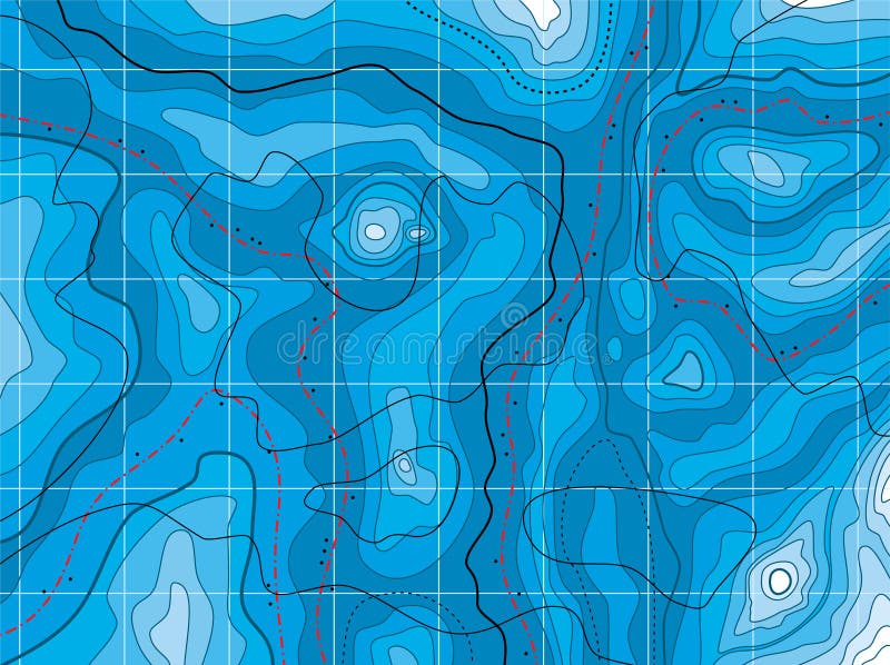
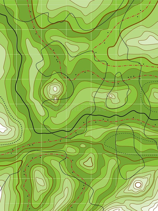
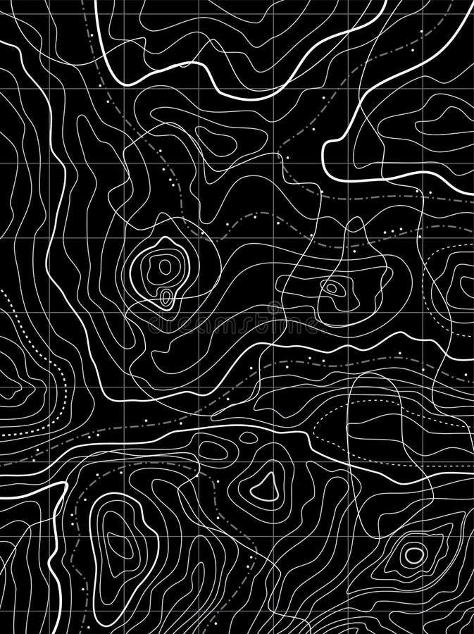
Free with trial A topographic map pattern on background. Map latitude longitude vectors Topography map Background. A topographic map pattern on background.
Free with trial A colored vector world map in Hammer projection, showing longitudes and latitudes. Map latitude longitude vectors World Map - Hammer Projection. A colored vector world map in Hammer projection, showing longitudes and latitudes
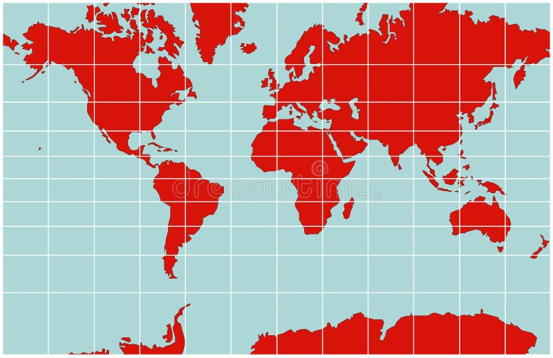
Free with trial A colored vector world map in Mercator projection, showing longitudes and latitudes. Map latitude longitude vectors World Map - Mercator Projection. A colored vector world map in Mercator projection, showing longitudes and latitudes
Free with trial Abstract topographical green map with no names, vector. Map latitude longitude vectors Abstract topographical green map
Free with trial Vector abstract topographical map with no names. Map latitude longitude vectors Vector abstract topographical map
Free with trial An authentic topographical map. Perfect expedition and travel background. Extra Large size with great details. Map latitude longitude illustrations Brown Topographical Map Background. An authentic topographical map. Perfect expedition and travel background. Extra Large size with great details
Free with trial Image is taken from an original Antique Map by John Speed dated 1685 showing the British Colony of Jamaica. Nice historical details. Map latitude longitude illustrations 1635 Antique John Speed Map Jamaica. Image is taken from an original Antique Map by John Speed dated 1685 showing the British Colony of Jamaica. Nice historical details.
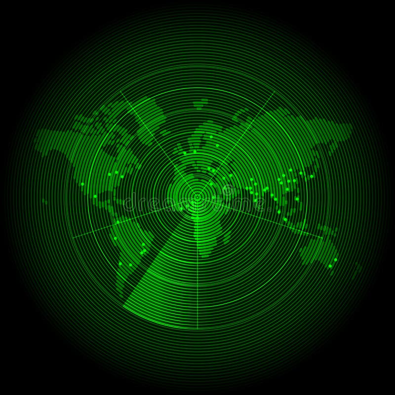
Free with trial Green world map with a radar screen illustration. Map latitude longitude vectors Green world map with a radar screen
Free with trial World map with vintage texture in green. Map latitude longitude illustrations Green vintage world map. World map with vintage texture in green
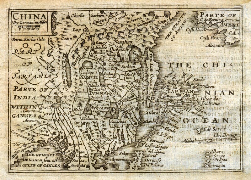
Free with trial Image is taken from an original Antique Map by John Speed dated 1635 showing China Japan Korea, as an Island, and the Great Wall of China to the North. Nice historical details. Map latitude longitude illustrations 1635 Antique Speed map China Japan Korea. Image is taken from an original Antique Map by John Speed dated 1635 showing China Japan Korea, as an Island, and the Great Wall of China to the North. Nice historical details.
Free with trial Historical map of Palestine (Ancient Israel). Photo from atlas published in 1879 in Great Britain. Map latitude longitude illustrations Historical map of Palestine (Ansient Israel). Historical map of Palestine (Ancient Israel). Photo from atlas published in 1879 in Great Britain.
Free with trial Blue world map with borders of countries on white background. Map latitude longitude vectors Blue world map