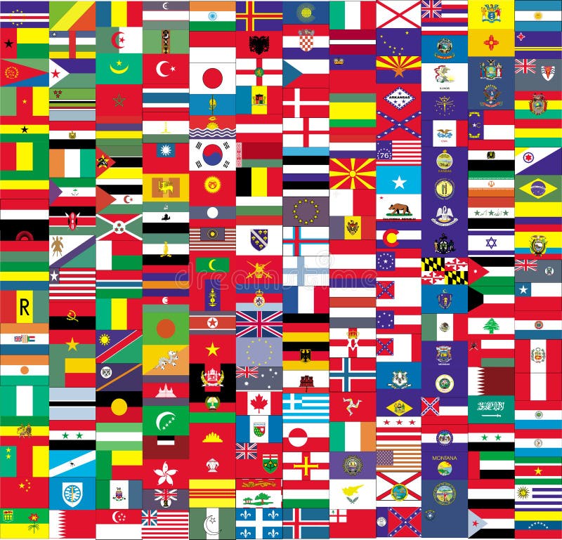
Free with trial Complete set of Flags of the world sorted alphabetically with official colors and details. Map west germany vectors Official Flags of the world. Complete set of Flags of the world sorted alphabetically with official colors and details
Free with trial Illustrated world map with coordinates in vector. Included present political borders. Map west germany vectors World map with coordinates
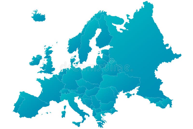
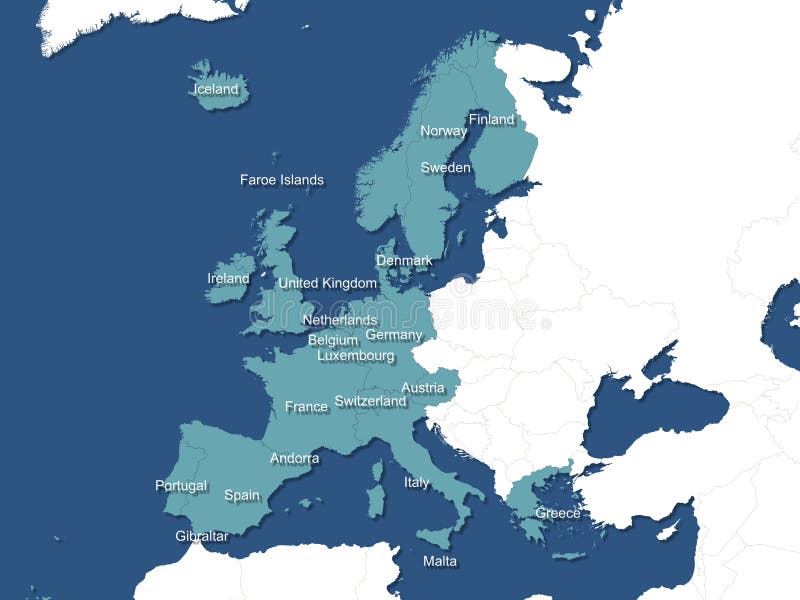
Free with trial Highly detailed blue Europe map with separated countries. Blue gradient with isolated background. Map west germany vectors Europe map highly detailed blue vector. Highly detailed blue Europe map with separated countries. Blue gradient with isolated background
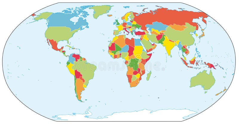
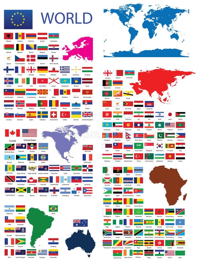
Free with trial Illustrated world political map in vector. Included present political borders. Map west germany vectors Actual world political map. Illustrated world political map in vector. Included present political borders.
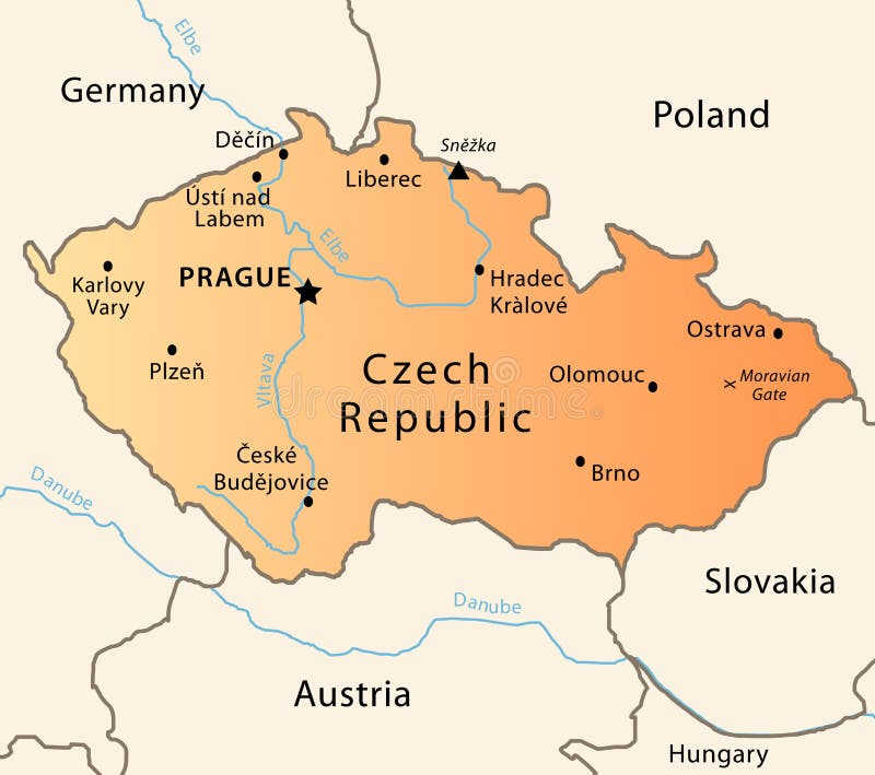
Free with trial Illustration of a detailed political map of Czech Republic. The X indicates the most important gate of the Moravian mountains. Map west germany vectors Czech Republic political map. Illustration of a detailed political map of Czech Republic. The X indicates the most important gate of the Moravian mountains.
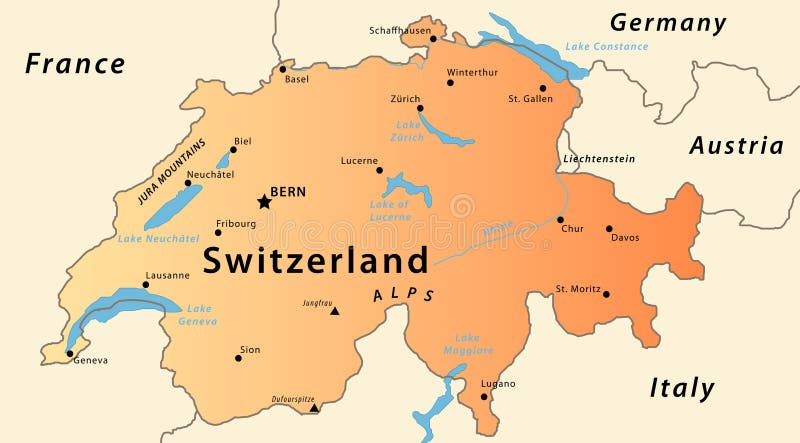
Free with trial Illustration of a detailed political map of Switzlerand, with the most important cities, river, mountains and lakes. Map west germany vectors Switzerland map. Illustration of a detailed political map of Switzlerand, with the most important cities, river, mountains and lakes.
Free with trial Divided Berlin during Cold War. Map of Berlin wall (1961 - 1989). Map west germany vectors Divided Berlin
Free with trial Map of Europe. 3d Very beautiful three-dimensional illustration, figure. Map west germany illustrations Map of Europe. 3d
Free with trial Europe centric globe world illustration with a ring of international flags. Map west germany illustrations Globe earth with flag ring, Europe centric. Europe centric globe world illustration with a ring of international flags
Free with trial Silhouettes of every country, colony, island group and continent (except antartica) that make up the planet earth. Map west germany illustrations Country silhouettes. Silhouettes of every country, colony, island group and continent (except antartica) that make up the planet earth.
Free with trial Official Flags of the world every continent separately. Map west germany vectors Official Flags of the world
Free with trial Germany map with administrative boundaries, regions, counties. Map west germany illustrations Administrative map of Germany. Germany map with administrative boundaries, regions, counties
Free with trial Highly detailed green Europ map with separated countries and green gradient isolated background goes with. ai file. Map west germany vectors Europe map highly detailed green vector. Highly detailed green Europ map with separated countries and green gradient isolated background goes with .ai file
Free with trial Highly detailed vector map of Netherlands with administrative regions,main cities and roads. Map west germany vectors Netherlands map. Highly detailed vector map of Netherlands with administrative regions,main cities and roads.
Free with trial Earth map isolated. The map includes the national borderlines of all countries. Map west germany illustrations Earth map isolated
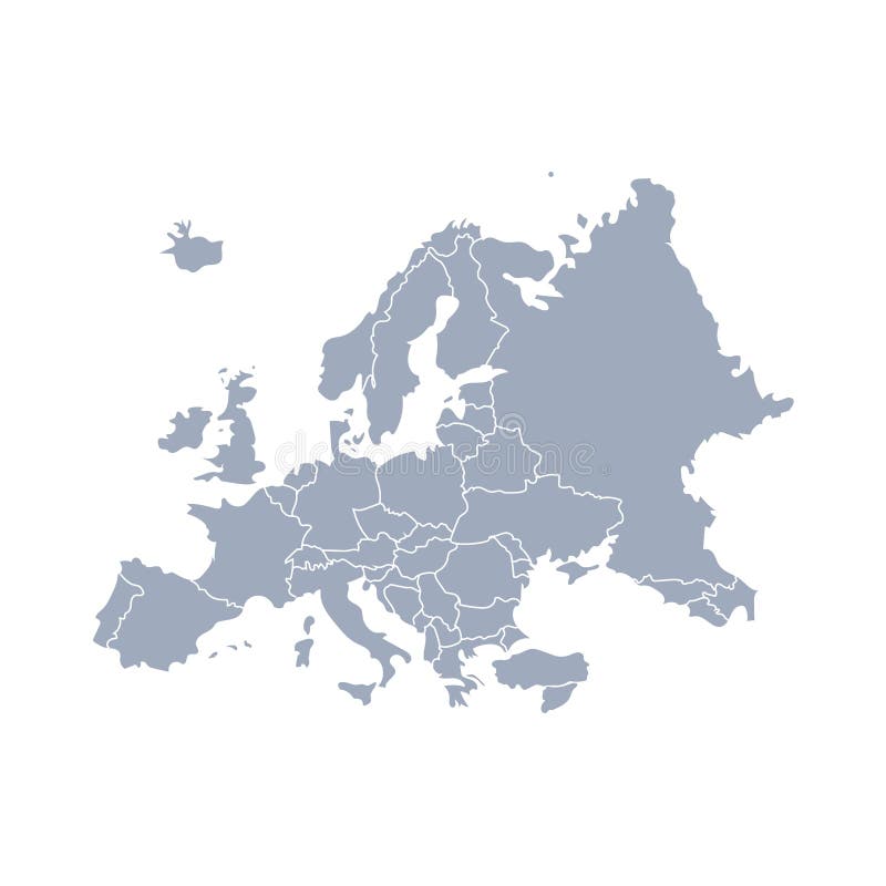
Free with trial High detailed Europe vector map. Map west germany vectors High detailed Europe map. Vector. High detailed Europe vector map
Free with trial Czech republic map with green gradient in vector. Map west germany vectors Czech republic map
Free with trial Color Austria map with regions on a white background. Map west germany vectors Austria map
Free with trial Europe isolated high detailed vector political map. All elements separated in detachable and labeled layers. Map west germany vectors Europe high detailed vector political map. All elements separated in detachable and labeled layers
Free with trial Europe high detailed political map with main rivers. All elements separated in detachable layers. Map west germany vectors Europe high detailed political map with main rivers. All elements separated in detachable layers.
Free with trial Detailed colored europe map with all important elements. Map west germany vectors Detailed colored europe map with all important elements
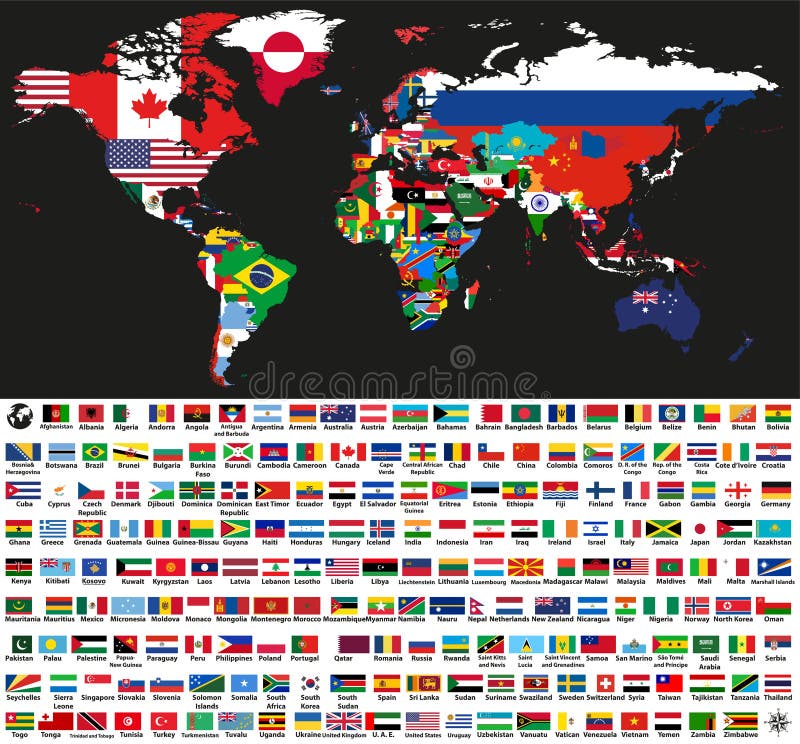
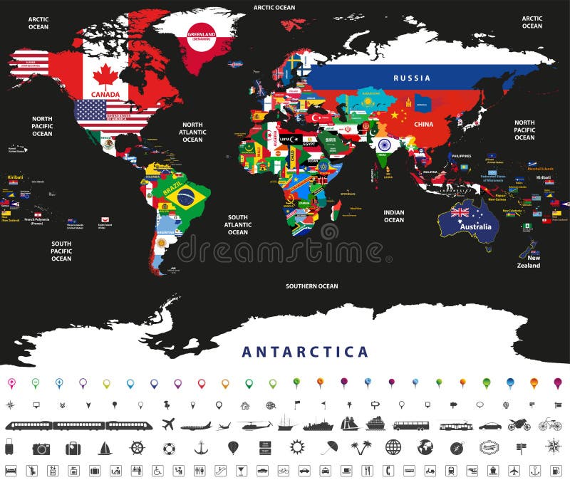
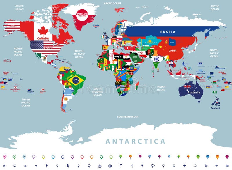
Free with trial Vector abstract world political map mixed with national flags on black background. Collection of all world flags isolated on white background and arranged in alphabetical order. Map west germany vectors Vector abstract world political map mixed with national flags on black background. Collection of all world flags
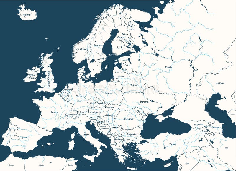
Free with trial High detailed map of Europe main rivers. Map west germany vectors High detailed vector map of Europe main rivers. High detailed map of Europe main rivers
Free with trial Abstract vector color map of Netherlands country. Map west germany vectors Netherlands
Free with trial Abstract vector color map of Czech Republic and Slovakia country. Map west germany vectors Czech Republic and Slovakia
Free with trial The flags of the first nine countries of the EU (Belgium, France, West Germany, Italy, Luxembourg, Netherlands, Denmark, Ireland, and UK), with the year they joined. Drawn in CMYK and placed on individual layers. Map west germany vectors Flag Pins - EU 1958 - 1973. The flags of the first nine countries of the EU (Belgium, France, West Germany, Italy, Luxembourg, Netherlands, Denmark, Ireland, and UK), with the year they joined. Drawn in CMYK and placed on individual layers.
Free with trial Europe vector high detailed political map with regions borders. All elements separated in detachable layers. Map west germany vectors Europe vector high detailed political map with regions borders. All elements separated in detachable layers
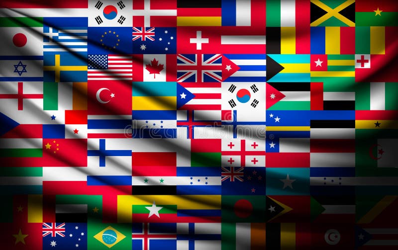
Free with trial Big flag background made of world country flags. Vector. Map west germany vectors Big flag background made of world country flags.
Free with trial Sports badge or icon on a white background. Map west germany vectors Badge, symbol or icon on white for american football. Sports badge or icon on a white background
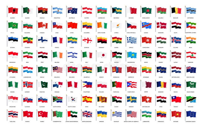
Free with trial National waving flags from all over the world with names - high quality vector flags isolated on white background. Map west germany vectors National waving flags from all over the world with names - high quality vector flag isolated on white background
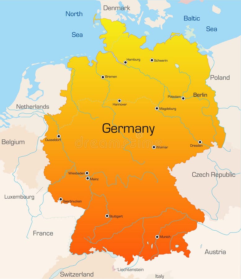
Free with trial Highly detailed vector map of Germany with administrative regions,main cities and roads. Map west germany vectors Germany map. Highly detailed vector map of Germany with administrative regions,main cities and roads.
Free with trial 3D Relief Map of Germany, line of sight towards north-west. Shows major cities and rivers, surrounding territory greyed out. Artificially colored according to terrain height. Map west germany illustrations Germany, 3D relief map. 3D Relief Map of Germany, line of sight towards north-west. Shows major cities and rivers, surrounding territory greyed out. Artificially colored according to terrain height.
Free with trial Political map of Germany with main cities. Map west germany vectors Political map of Germany
Free with trial Vector map of the city of Berlin, Germany. Map west germany illustrations Map of the city of Berlin, Germany
Free with trial An abstract 3d map of Europe the continent and several countries, with Luxembourg highlighted in red alongside countries such as France, Belgium and Germany. Map west germany illustrations Luxembourg 3d Abstract Map Europe. An abstract 3d map of Europe the continent and several countries, with Luxembourg highlighted in red alongside countries such as France, Belgium and Germany
Free with trial Abstract vector color map of Germany country coloured by national flag. Map west germany vectors Germany
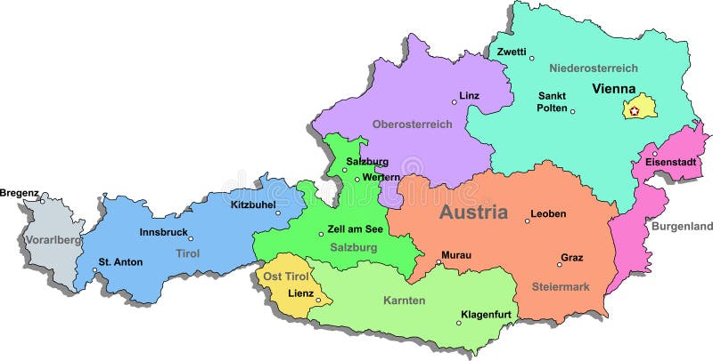
Free with trial Highly detailed vector map of Austria with administrative regions,main cities and roads. Map west germany vectors Austria map. Highly detailed vector map of Austria with administrative regions,main cities and roads.
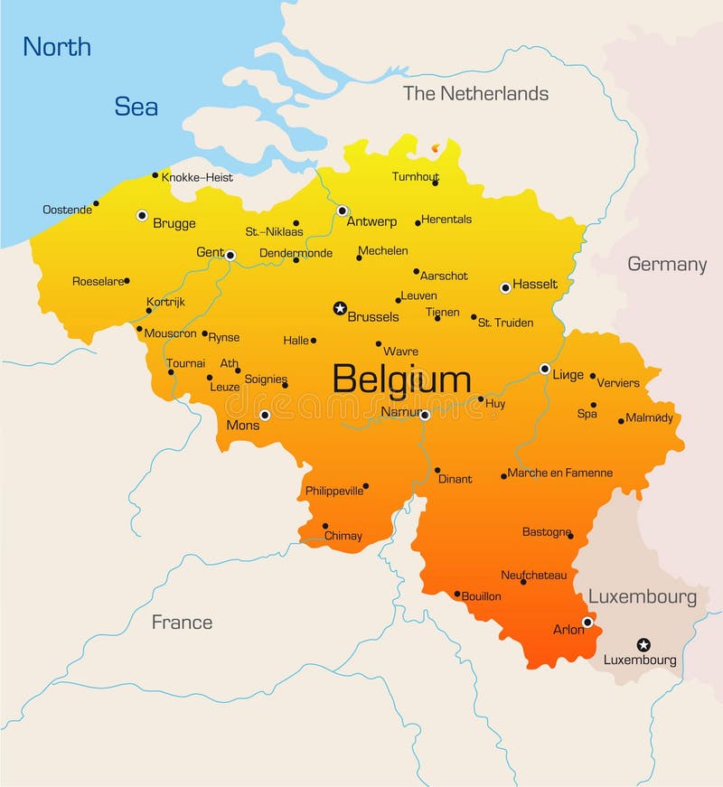
Free with trial Vector regions map of Benelux countries: Belgium, Netherlands and Luxembourg, with neighbouring countries and territories. Map west germany vectors Vector regions map of Benelux countries: Belgium, Netherlands and Luxembourg, with neighbouring countries and territories.
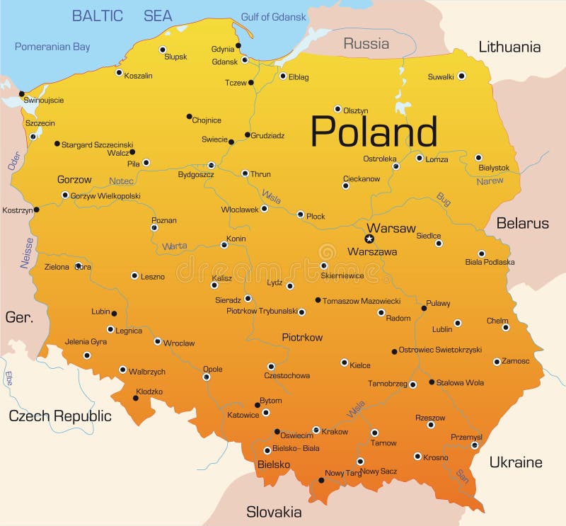
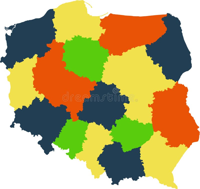
Free with trial Vector map of Poland with regions and states. Map west germany vectors Poland map. Vector map of Poland with regions and states
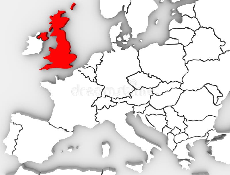
Free with trial Great Britain or England or the United Kingdom highlighted in red on an abstracted illustrated 3d render map of the continent of Europe. Map west germany illustrations United Kingdom England Map Northern Europe Great Britain. Great Britain or England or the United Kingdom highlighted in red on an abstracted illustrated 3d render map of the continent of Europe
Free with trial Vector illustration of Europe city and communication lights map. Map west germany vectors Illustration of Europe city and communication lights map
Free with trial Vector illustration of Europe city and communication lights map. Map west germany vectors Illustration of Europe city and communication lights map
Free with trial World map europe outline in vector, vector on white. Map west germany illustrations World map europe outline in vector
Free with trial Vector illustration of world map jointed with national flags with countries and oceans names. Map west germany vectors Vector illustration of world map jointed with national flags with countries and oceans names
Free with trial Vector high detailed illustration of map of the world jointed with countries flags. Map west germany vectors Vector high detailed illustration of map of the world jointed with countries flags
Free with trial Flag of usa canada germany poland france italy shadow. Map west germany vectors Flag usa canada germany poland france italy. Flag of usa canada germany poland france italy shadow
Free with trial Flags of the world and map on white background. Vector illustration. Map west germany vectors Flags of the world and map on white background
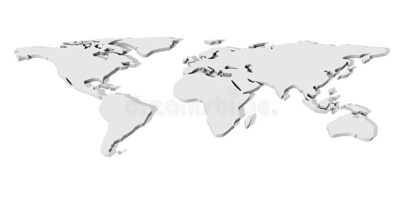
Free with trial 3D Illustration. An abstract Worldmap. Map west germany illustrations White 3D World map. 3D Illustration. An abstract Worldmap.
Free with trial 3D Illustration. An abstract Worldmap. Map west germany illustrations Golden 3D World map. 3D Illustration. An abstract Worldmap.
Free with trial Abstract vector color map of Switzerland country. Map west germany vectors Switzerland
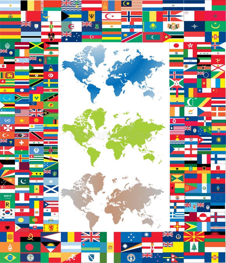
Free with trial Complete set of flag of the world with three world map in different colour. Map west germany vectors Complete set of flag of the world
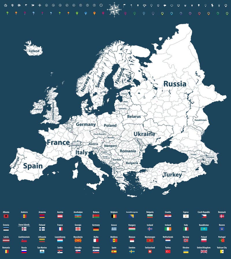
Free with trial Europe vector political map with regions borders and all european flags. Map west germany vectors Europe vector high detailed political map with regions borders and all european flags. Europe vector political map with regions borders and all european flags
Free with trial Abstract vector color map of Italy country coloured by national flag. Map west germany vectors Italy
Free with trial Abstract vector color map of Austria country coloured by national flag. Map west germany vectors Austria
Free with trial Abstract vector color map of France country coloured by national flag. Map west germany vectors France
Free with trial Abstract vector color map of Belgium country coloured by national flag. Map west germany vectors Belgium
Free with trial Abstract vector color map of Czech Republic country coloured by national flag. Map west germany vectors Czech Republic
Free with trial Abstract vector color map of Switzerland country coloured by national flag. Map west germany vectors Switzerland
Free with trial Earth with translucent water in the oceans and the detailed topography of the continents. A fragment of the Earth, with Europe and Africa. Isolated on white. Map west germany illustrations Realistic Planet Earth. Earth with translucent water in the oceans and the detailed topography of the continents. A fragment of the Earth, with Europe and Africa. Isolated on white
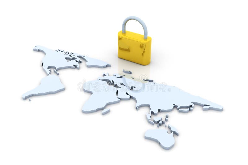
Free with trial 3D Illustration. A safe world. Map west germany illustrations Secure World. 3D Illustration. A safe world.
Free with trial 3D Illustration. A safe world. Map west germany illustrations Secure World. 3D Illustration. A safe world.
Free with trial World flags on one colorful flag waving. Map west germany illustrations World flags on one colorful flag
Free with trial Canadian, British, Irish, German, and United States flags and pins on white backdrop. Map west germany vectors Country flags and pins on white background. Canadian, British, Irish, German, and United States flags and pins on white backdrop