Free with trial Set of science and education icons. Meridian vectors Science & education icons. Set of science and education icons
Free with trial Set of travel and tourism icons. Meridian vectors Travel & tourism icons. Set of travel and tourism icons
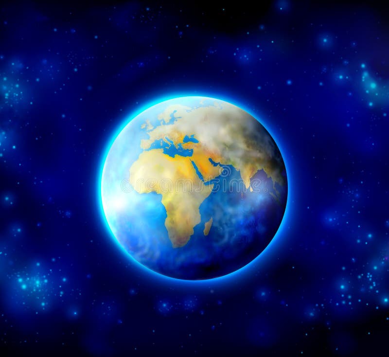
Free with trial Planet earth on white background - America and Africa view (3d source maps-. Meridian illustrations Planet earth set on white. Planet earth on white background - America and Africa view (3d source maps-
Free with trial MERIDIAN SYSTEM CHART - Female body with principal and centerline acupuncture meridians - anterior and posterior view - Traditional Chinese Medicine. Meridian vectors Meridian System Description Chart Female Body. MERIDIAN SYSTEM CHART - Female body with principal and centerline acupuncture meridians - anterior and posterior view - Traditional Chinese Medicine.
Free with trial Body meridian system vector illustration scheme, Chinese energy acupuncture therapy diagram chart. Female body with energy paths and corresponding inner organs. Meridian vectors Body meridian system vector illustration scheme, Chinese energy acupuncture therapy diagram chart.
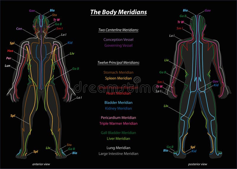
Free with trial Meridian system chart of TCM (Traditional Chinese Medicine). Isolated vector illustration on black background. Meridian vectors Meridian System Description Chart Black. Meridian system chart of TCM (Traditional Chinese Medicine). Isolated vector illustration on black background.
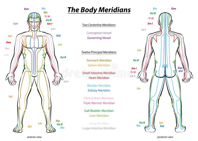
Free with trial Meridian System Chart - Male body with principal and centerline acupuncture meridians - anterior and posterior view - Traditional Chinese Medicine - Isolated vector illustration on white background. Meridian vectors Meridian System Description Chart Male Body. Meridian System Chart - Male body with principal and centerline acupuncture meridians - anterior and posterior view - Traditional Chinese Medicine - Isolated vector illustration on white background.
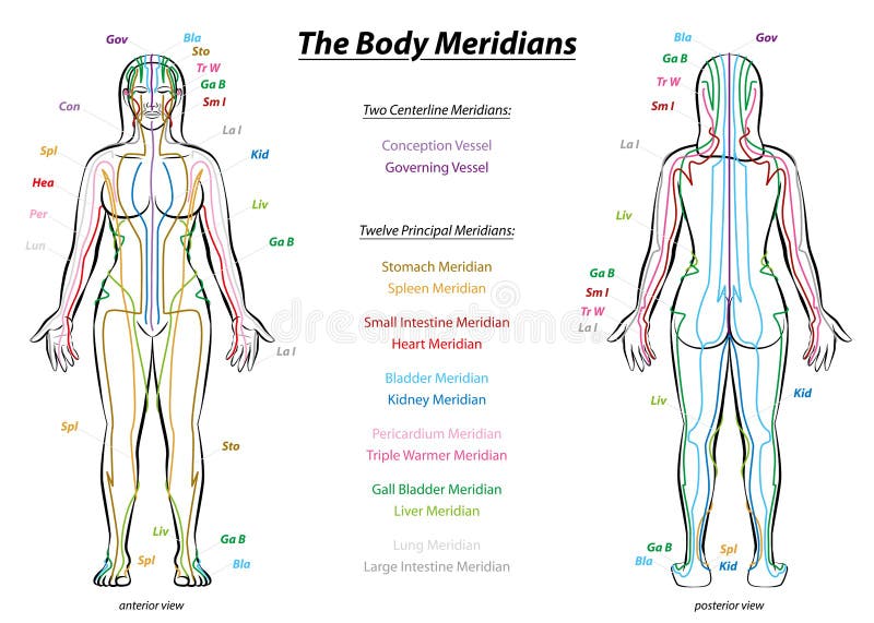
Free with trial Body meridian chart of a womans body - with names and different colors - Traditional Chinese Medicine. Isolated vector illustration on white background. Meridian vectors Body Meridians Chart Woman Colors. Body meridian chart of a womans body - with names and different colors - Traditional Chinese Medicine. Isolated vector illustration on white background.
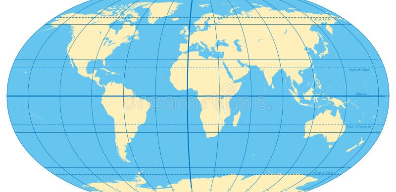
Free with trial World map with most important circles of latitudes and longitudes, showing Equator, Greenwich meridian, Arctic and Antarctic Circle, Tropic of Cancer and Capricorn. English. Illustration. Vector. Meridian vectors World map with most important circles of latitudes and longitudes. Showing Equator, Greenwich meridian, Arctic and Antarctic Circle, Tropic of Cancer and. World map with most important circles of latitudes and longitudes, showing Equator, Greenwich meridian, Arctic and Antarctic Circle, Tropic of Cancer and Capricorn. English. Illustration. Vector.
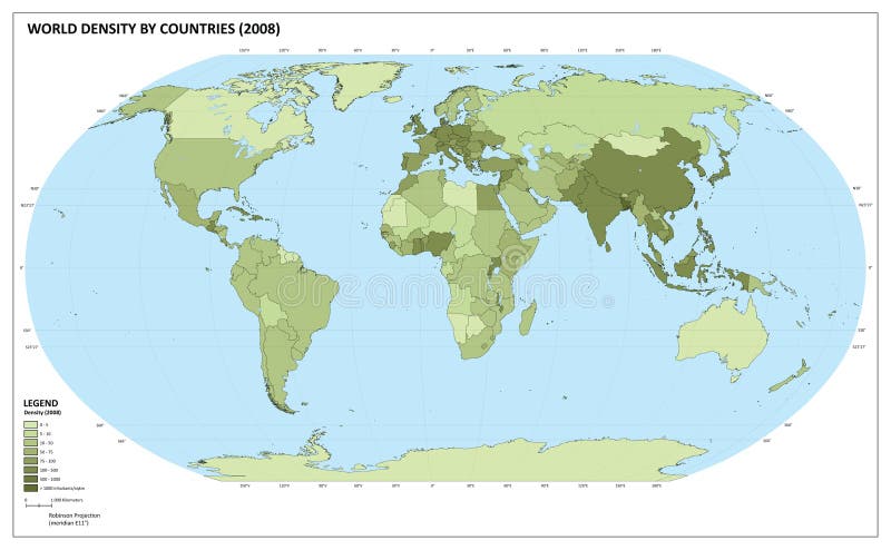
Free with trial World map with population density number (inhabitants/square kilometers). The maps are in ial format (EPS), and contains almost 250 countries and territories (including Kosovo, Abkhazia and others with little international recognition). The maps have legend about the colour representation. Maps are made in Robinson World projection, with central meridian at E11. Population datas are from 2008 (official and UN estimation). Meridian vectors World population density map. World map with population density number (inhabitants/square kilometers). The maps are in ial format (EPS), and contains almost 250 countries and territories (including Kosovo, Abkhazia and others with little international recognition). The maps have legend about the colour representation. Maps are made in Robinson World projection, with central meridian at E11. Population datas are from 2008 (official and UN estimation).
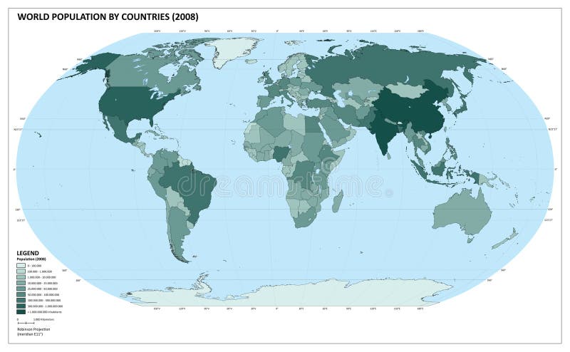
Free with trial World map with population number. The maps are in vectorial format (EPS), and contains almost 250 countries and territories (including Kosovo, Abkhazia and others with little international recognition). The maps have legend about the colour representation. Maps are made in Robinson World projection, with central meridian at E11. Population datas are from 2008 (official and UN estimation). Meridian illustrations World population map (). World map with population number. The maps are in vectorial format (EPS), and contains almost 250 countries and territories (including Kosovo, Abkhazia and others with little international recognition). The maps have legend about the colour representation. Maps are made in Robinson World projection, with central meridian at E11. Population datas are from 2008 (official and UN estimation).
Free with trial Earth Globe Emblem. Logo Template. Icon Set. Vector. Meridian vectors Earth Globe Emblem. Logo Template. Icon Set. Vector
Free with trial Planet earth globe drawing, different views and countries + vector eps file. Meridian vectors Globe views vector. Planet earth globe drawing, different views and countries + vector eps file
Free with trial Illustrated world map with coordinates in vector. Included present political borders. Meridian vectors World map with coordinates
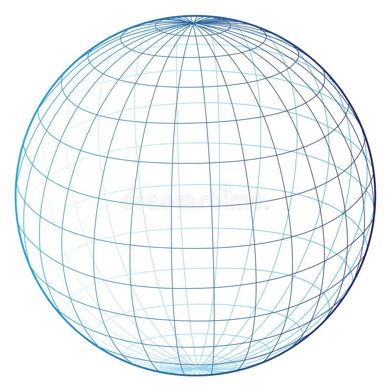
Free with trial Illustration of wireframe grid globe isolated on white background. Meridian vectors Wireframe globe. Illustration of wireframe grid globe isolated on white background.
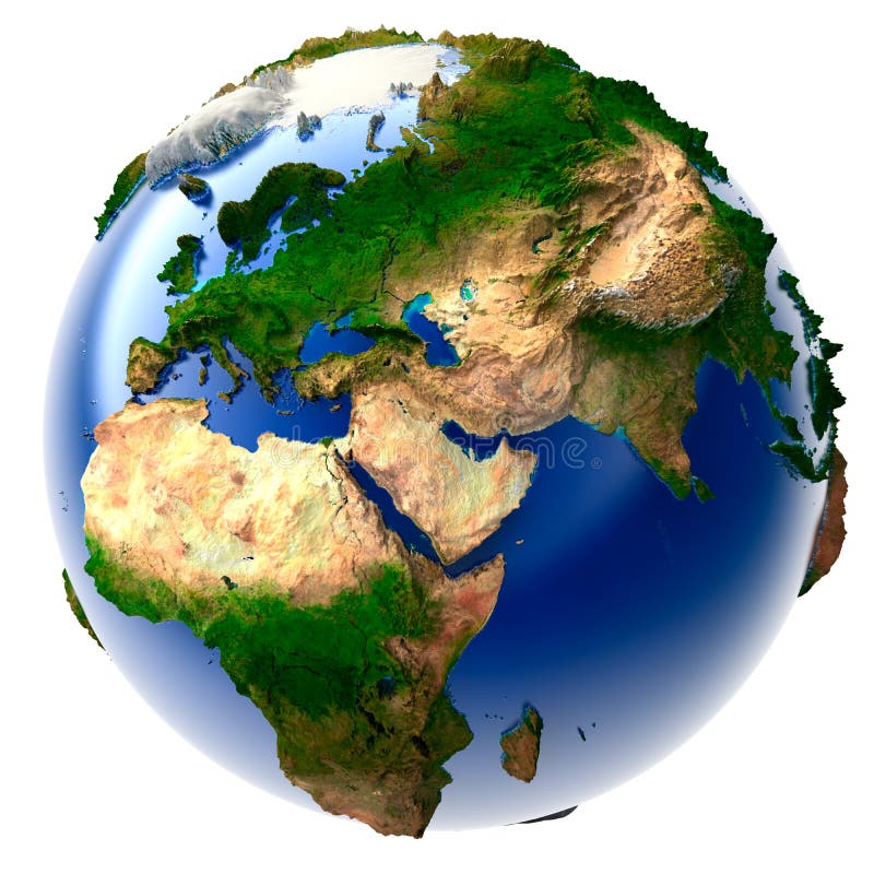
Free with trial Real Earth with oceans, mountains and the atmosphere in the Sunlight. Meridian illustrations Real Earth with the atmosphere. Real Earth with oceans, mountains and the atmosphere in the Sunlight.
Free with trial Equator latitude and longitude vector illustration. Equator grid line explanation with northern and southern hemisphere, prime and tropic of cancer. Geographic axis position and location angle point. Meridian vectors Equator latitude or longitude vector illustration. Equator line explanation. Equator latitude and longitude vector illustration. Equator grid line explanation with northern and southern hemisphere, prime and tropic of cancer. Geographic axis position and location angle point.
Free with trial 3d rendered illustration of a blue matrix. Meridian illustrations 3d matrix. 3d rendered illustration of a blue matrix
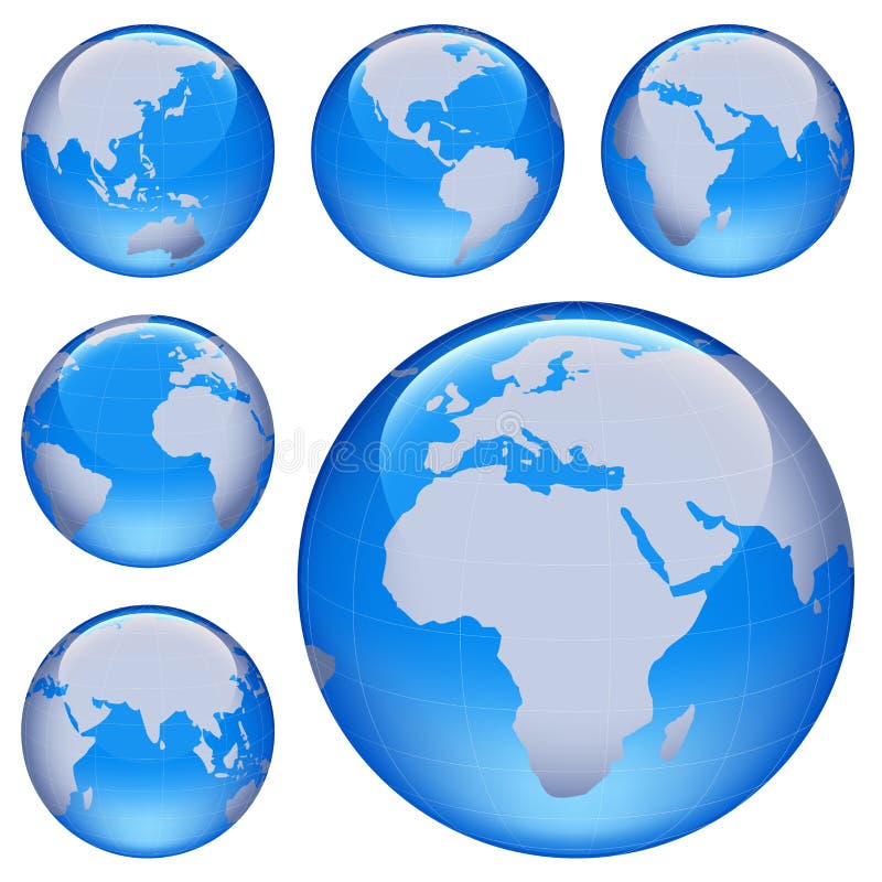
Free with trial Shiny planet earth map from six views; illustration. Meridian vectors Shiny earth map. Shiny planet earth map from six views; illustration
Free with trial 3D model of the globe with an exaggerated vertical relief. Meridian illustrations Miniature real Earth. 3D model of the globe with an exaggerated vertical relief.
Free with trial World with international exportation as shooting stars. Meridian illustrations International movements. World with international exportation as shooting stars
Free with trial Set of energy and resource icons. Meridian vectors Energy & resource icon set. Set of energy and resource icons
Free with trial Globe watercolors poster hand drawn with stains and smudges Explore more just go. Meridian vectors Globe watercolors poster
Free with trial Set of mail and transportation icons. Meridian vectors Mail & transportation icons. Set of mail and transportation icons
Free with trial Chinese energy hand, abstract painting with Chinese characters. Meridian illustrations Chinese Energy Hand
Free with trial Set of navigation and transport icons. Meridian vectors Navigation & transport icons. Set of navigation and transport icons
Free with trial Set of science and education stickers. Meridian vectors Science & education stickers. Set of science and education stickers
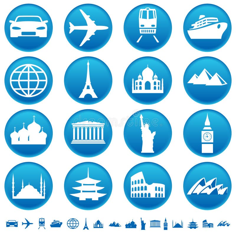
Free with trial Set of transportation and sights icons. Meridian vectors Sights & transportation icons. Set of transportation and sights icons
Free with trial World countries and capitals (map with precision). Meridian vectors World countries and capitals. World countries and capitals (map with precision)
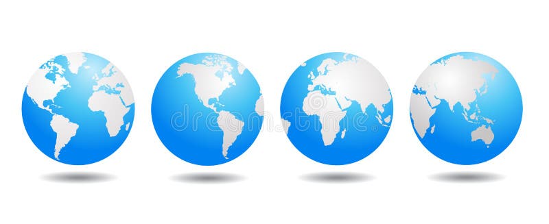
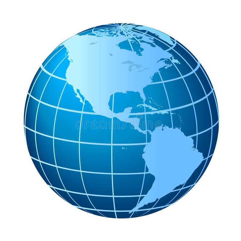
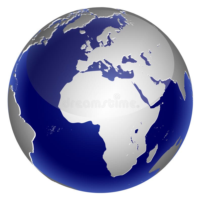
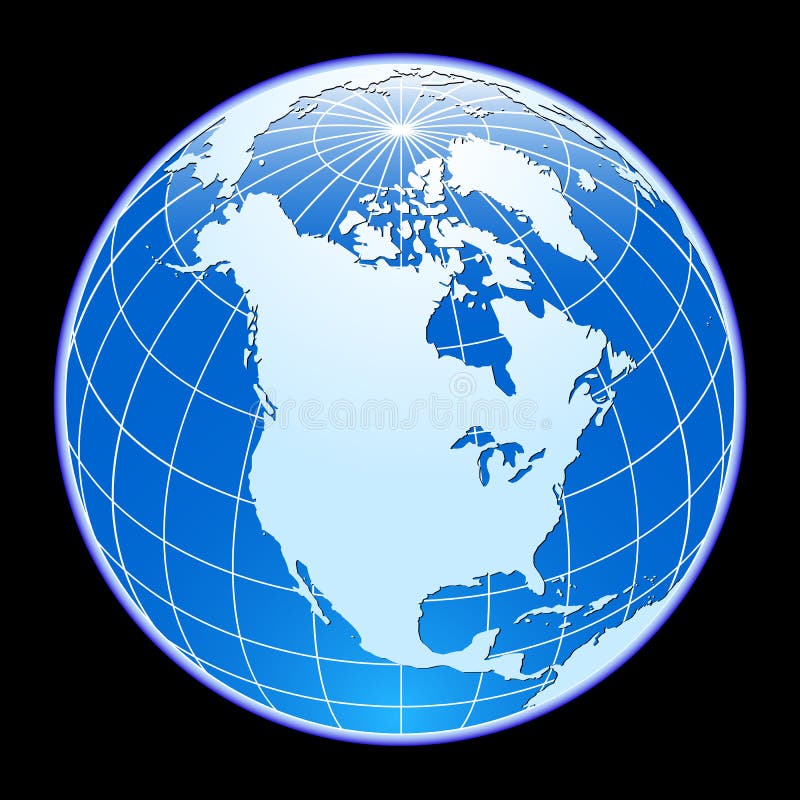
Free with trial Globe with North and South America. Meridian vectors North and South America globe. Globe with North and South America
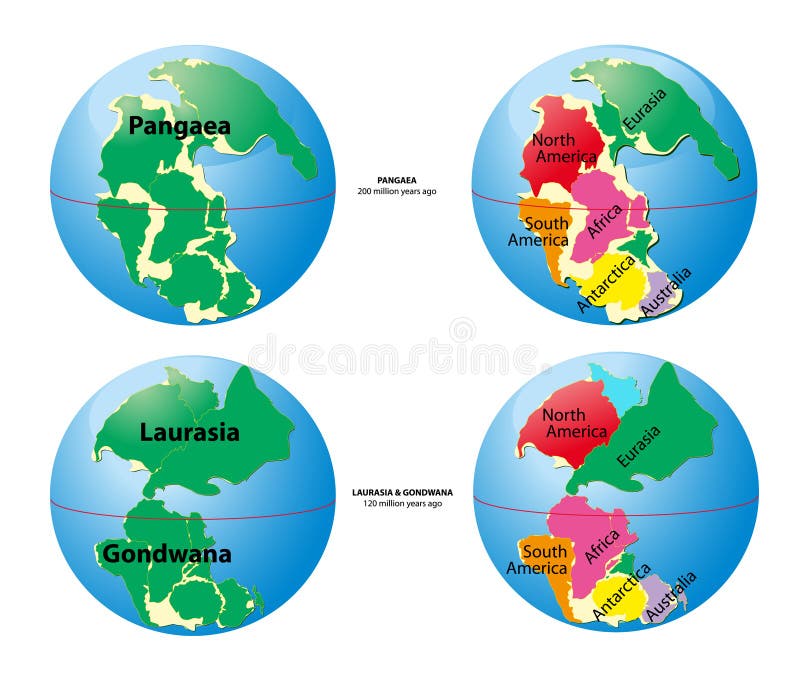
Free with trial World map of Pangaea - 200 million years ago, Laurasia, Gondwana - 120 million years ago. Meridian vectors World map of Pangaea, Laurasia, Gondwana. World map of Pangaea - 200 million years ago, Laurasia, Gondwana - 120 million years ago.
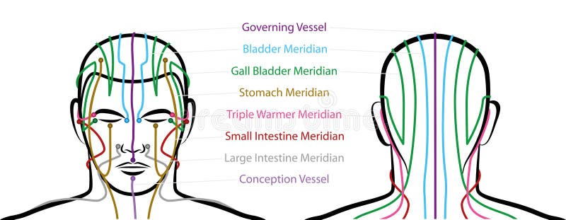
Free with trial Meridians of the head with acupuncture points - anterior and posterior view. Traditional Chinese Medicine. Isolated vector illustration on white background. Meridian vectors Meridians Male Head Acupuncture Points. Meridians of the head with acupuncture points - anterior and posterior view. Traditional Chinese Medicine. Isolated vector illustration on white background.
Free with trial 3d rendered digital world or planet. Meridian illustrations 3d space. 3d rendered digital world or planet
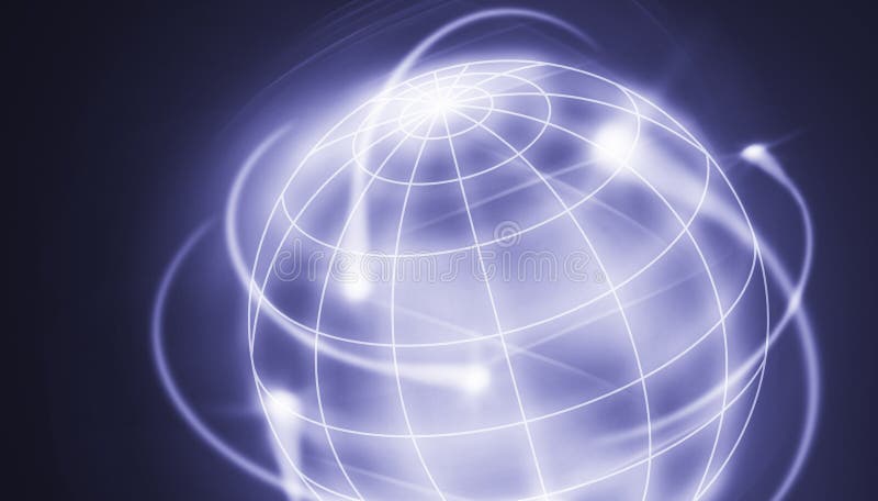
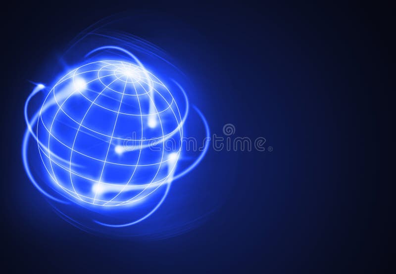
Free with trial International movments circling the globe. Meridian illustrations Movements. International movments circling the globe
Free with trial Wireframe on the white background with place for your text. Meridian vectors Wireframe
Free with trial Logo and icon of the world, vector file. Meridian vectors World logo. Logo and icon of the world, vector file
Free with trial Beautiful illustration of mother earth on dark blue sky full of stars. Meridian illustrations Mother earth
Free with trial Set of web icons. Multicolor & monochrome series. Meridian vectors Web icons set. Set of web icons. Multicolor & monochrome series
Free with trial Nature symbolic mandala on the vhite background. Meridian illustrations Green ayurveda. Nature symbolic mandala on the vhite background
Free with trial Earth Magmatic - Highly detailed and coloured illustration. Meridian vectors Magmatic Earth. Earth Magmatic - Highly detailed and coloured illustration.
Free with trial Image of the earth floating on a white background. Meridian illustrations A floating Earth. Image of the earth floating on a white background
Free with trial Child's drawing about peace. Meridian illustrations Child's creation. Child's drawing about peace.
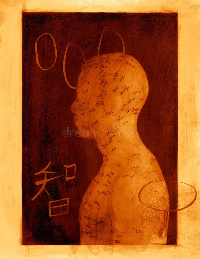
Free with trial Acupuncture model mixed medium image. Meridian illustrations Acupuncture Abstract. Acupuncture model mixed medium image.
Free with trial Vector illustration of globes – design elements. Meridian vectors Globe. Design elements. Vector illustration of globes – design elements
Free with trial Set of transportation and sights icons. Meridian vectors Transportation & sights. Set of transportation and sights icons
Free with trial Set of transportation and telecommunications icons. Meridian vectors Transportation & telecom. Set of transportation and telecommunications icons
Free with trial Set of transportation and telecommunications icons. Meridian vectors Telecom & transportation. Set of transportation and telecommunications icons
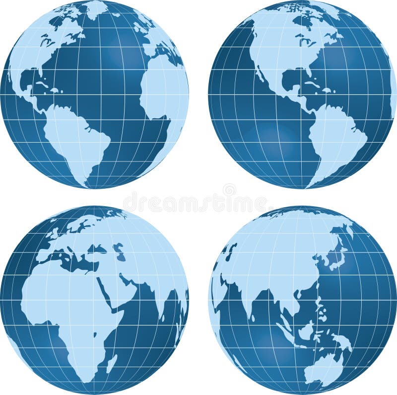
Free with trial Earth globe planet views isolated on white. Meridian vectors Earth globe planet view. Earth globe planet views isolated on white.
Free with trial Worldwide logistics circling the world. Meridian illustrations International logistics. Worldwide logistics circling the world
Free with trial Worldwide logistics circling the world. Meridian illustrations International logistics. Worldwide logistics circling the world
Free with trial Set of travel and tourism stickers. Meridian vectors Travel & tourism stickers. Set of travel and tourism stickers
Free with trial Exportation of the worlds industries as shooting stars. Meridian illustrations International activities. Exportation of the worlds industries as shooting stars
Free with trial Set of science and technology icons. Meridian vectors Science & technology icons. Set of science and technology icons
Free with trial Set of business and transportation icons. Meridian vectors Business & transport icons. Set of business and transportation icons
Free with trial Set of science and education icons. Meridian vectors Science & education icon set. Set of science and education icons
Free with trial Vector illustration: chain of people around of globe. Meridian vectors People & globe / color vector. Vector illustration: chain of people around of globe
Free with trial Set of science and technology icons. Meridian vectors Science & technology icon set. Set of science and technology icons
Free with trial Set of transportation and telecommunications icons. Meridian vectors Telecoms & transportation icons. Set of transportation and telecommunications icons
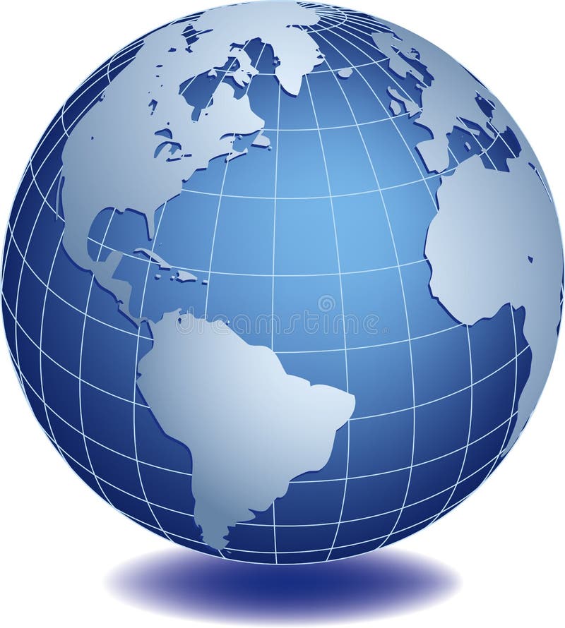
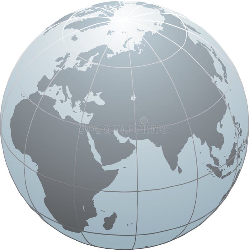
Free with trial Meridians and parallels of the globe. Meridian vectors Globe meridians / Earth model. Meridians and parallels of the globe
Free with trial Metal globe of the Earth with a golden hue as it were photographed in the studio. 3D-graphics. Meridian illustrations Golden Globe on white background. Metal globe of the Earth with a golden hue as it were photographed in the studio. 3D-graphics.