Free with trial Top quality vectorial world map with boundaries of all states. North america map vector vectors Detailed world map and borders. Top quality vectorial world map with boundaries of all states
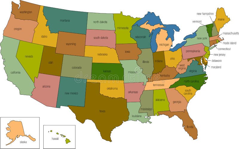
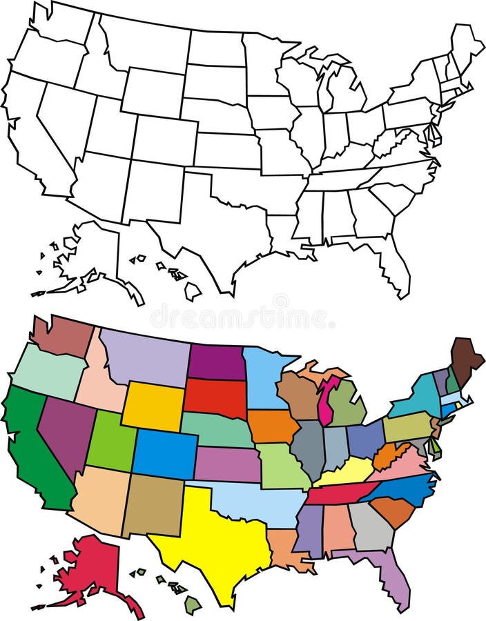
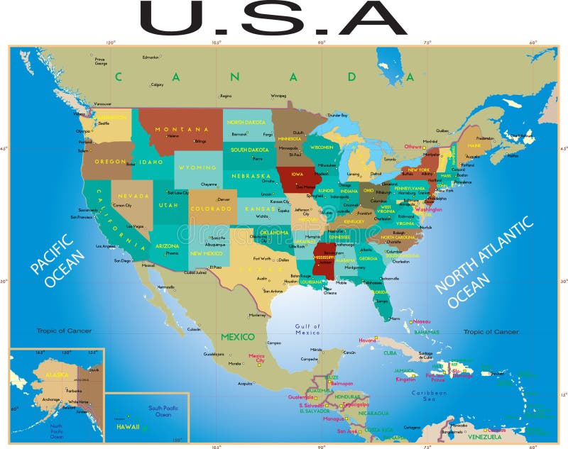
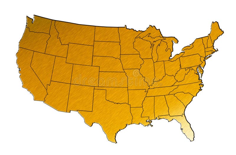
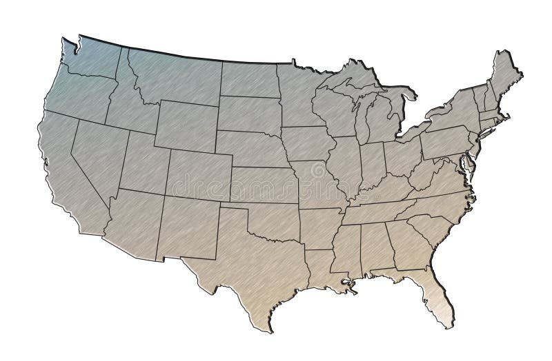
Free with trial A full color map of the united states of america with the state names called out. North america map vector vectors United states 01. A full color map of the united states of america with the state names called out
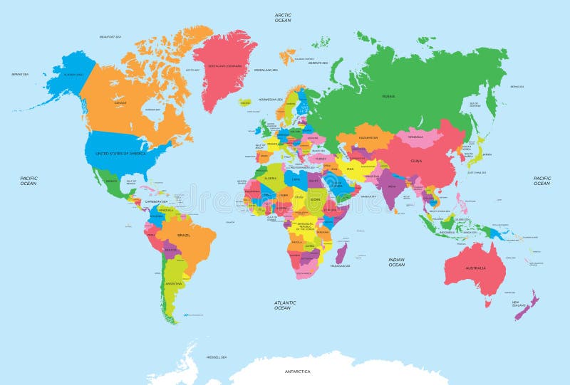
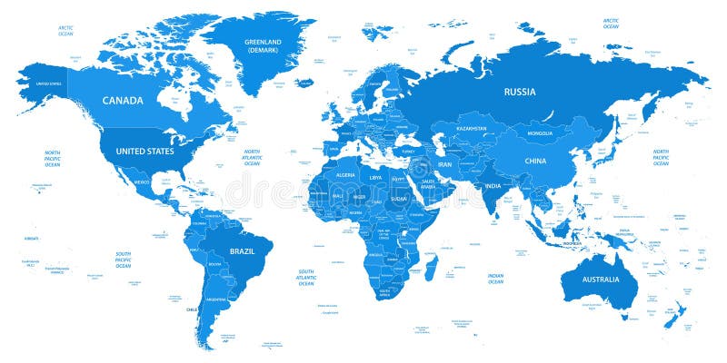
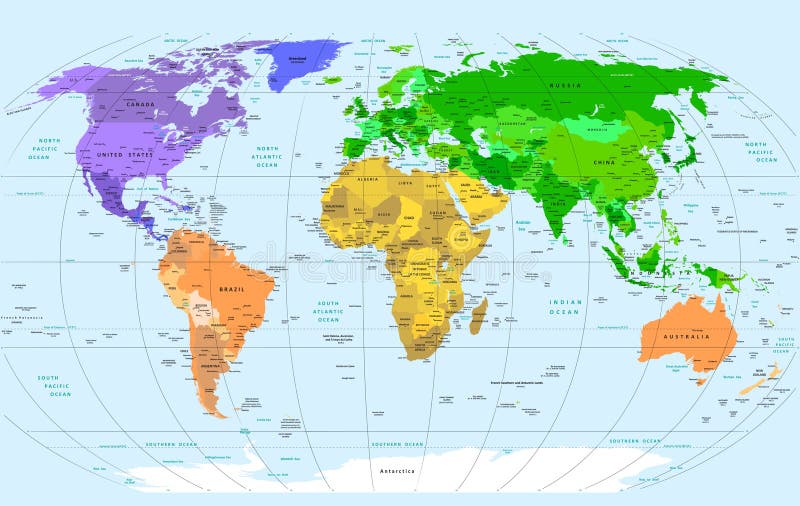
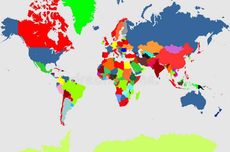
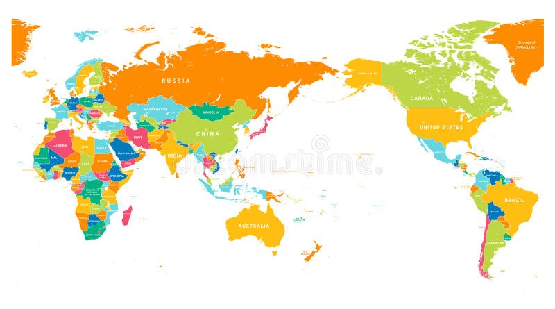
Free with trial Political map of the world vector for your design. North america map vector vectors Political map of the world vector
Free with trial Vintage Political World Map Pacific Centered - vector. North america map vector illustrations Vintage Political World Map Pacific Centered
Free with trial World Map Vintage Color Pacific Centred. Detailed Vector Illustration of Pacific Centered Political World Map Vintage Color. North america map vector vectors World Map Vintage Color Pacific Centred
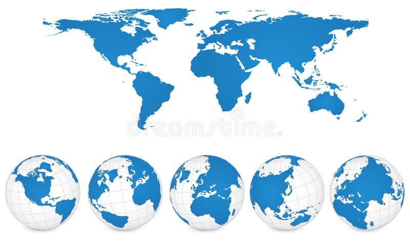
Free with trial Vector of World Map and Globe Detail Vector Illustration. North america map vector vectors World Map and Globe Detail Vector Illustration.
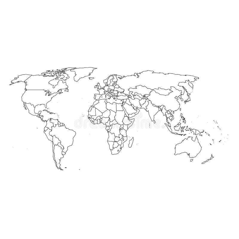
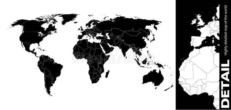
Free with trial Detailed world map with borders, countries, water objects. Vector illustration. North america map vector vectors Detailed world map with borders, countries, water objects
Free with trial This image is a vector illustration and can be scaled to any size without loss of resolution. North america map vector vectors United States of America map. This image is a vector illustration and can be scaled to any size without loss of resolution.
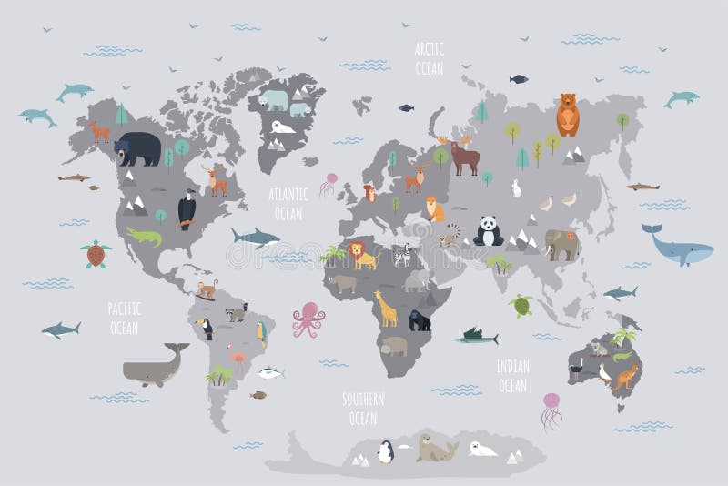
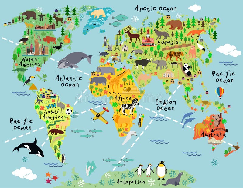
Free with trial World map with wild animals living on various continents and in oceans. Cute cartoon mammals, reptiles, birds, fish inhabiting planet. Flat colorful vector illustration for educational poster, banner. North america map vector vectors World map with wild animals living on various continents and in oceans.
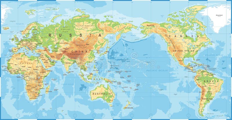
Free with trial Political Physical Topographic Colored World Map Pacific Centered- vector. North america map vector illustrations Political Physical Topographic Colored World Map Pacific Centered
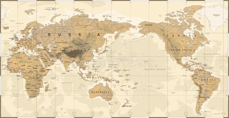
Free with trial Vintage Political Physical Topographic World Map Pacific Centered- vector. North america map vector illustrations Vintage Political Physical Topographic World Map Pacific Centered
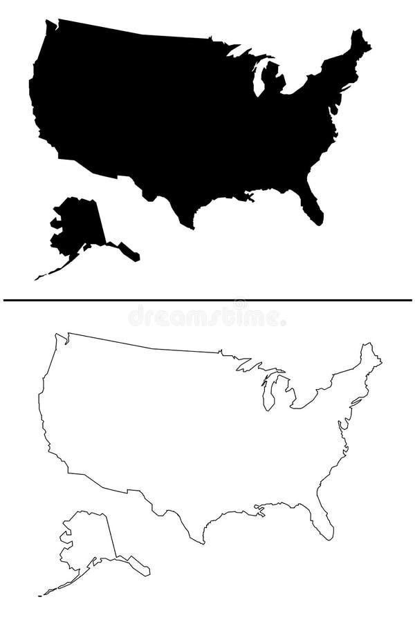
Free with trial USA outline map national borders country shape. America. North america map vector vectors USA outline map national borders country shape. America
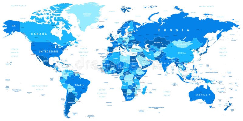
Free with trial Highly detailed vector illustration of world map. North america map vector vectors Blue World Map - borders, countries and cities -illustration. Highly detailed vector illustration of world map.
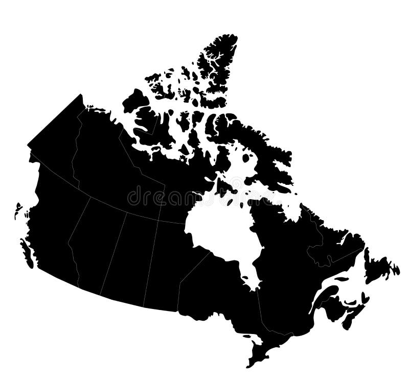
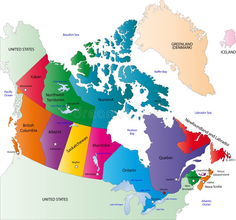
Free with trial Blind map of Canada with regions borders. Vector illustration. North america map vector vectors Map of Canada
Free with trial Vector states of america with flag. North america map vector vectors Vector states of america
Free with trial Detailed North American flags and map manually traced from public domain data. EPS file available. North america map vector vectors Detailed North American flags
Free with trial Detailed Vector World Map. Layers objects (groups): continents, countries, names of countries, capitals, cites, water resources, meridians. Convenient editing of primary colors. ZIP: eps8 file - meridians in lines. Base map generated using map data from the public domain. - The url of the reference file is : - Software: Xara Designer Pro - Creation date: January, 2012. - Layers of Data Used: Outlines. North america map vector vectors Detailed World Map. Detailed Vector World Map. Layers objects (groups): continents, countries, names of countries, capitals, cites, water resources, meridians. Convenient editing of primary colors. ZIP: eps8 file - meridians in lines. Base map generated using map data from the public domain. - The url of the reference file is : - Software: Xara Designer Pro - Creation date: January, 2012. - Layers of Data Used: Outlines
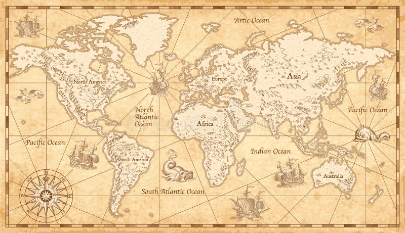
Free with trial Great Detail Illustration of the world map in vintage style with all countries boundaries and names on a old parchment background. North america map vector vectors Old Vintage World Map. Great Detail Illustration of the world map in vintage style with all countries boundaries and names on a old parchment background.
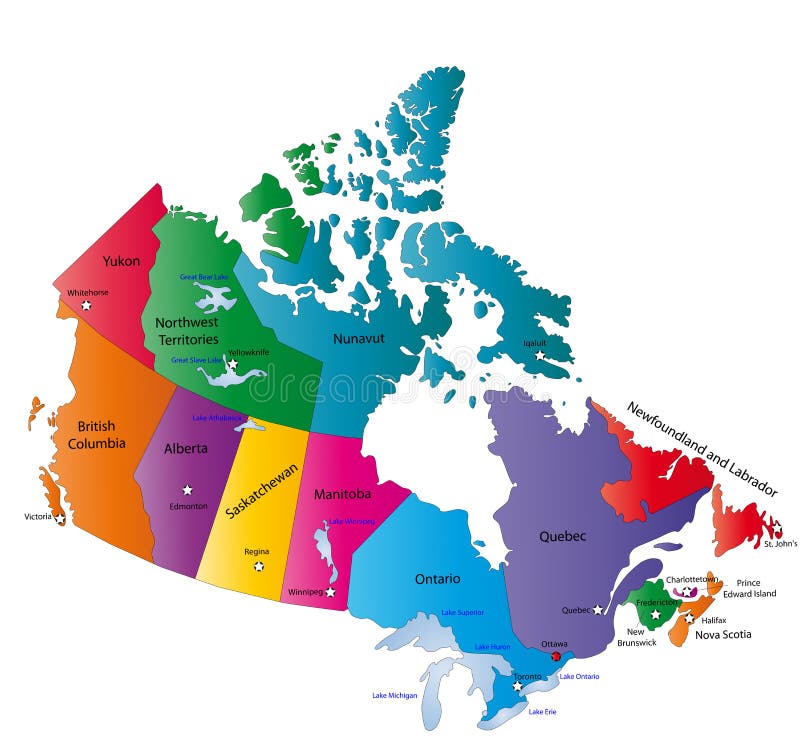
Free with trial Canada map designed in illustration with the states colored in bright colors and with the main cities. Neighbouring countries are in an additional format (. AI) in the latent layer. North america map vector vectors Canada map
Free with trial Great Detail Illustration of the world map in vintage style with mountains, trees, cities and main rivers on a old parchment background. North america map vector vectors Vintage Illustrated World Map. Great Detail Illustration of the world map in vintage style with mountains, trees, cities and main rivers on a old parchment background.
Free with trial Canada map designed in illustration with states colored in bright colors and with the main cities. On an illustration neighbouring countries are shown too. North america map vector vectors Canada color map. Canada map designed in illustration with states colored in bright colors and with the main cities. On an illustration neighbouring countries are shown too
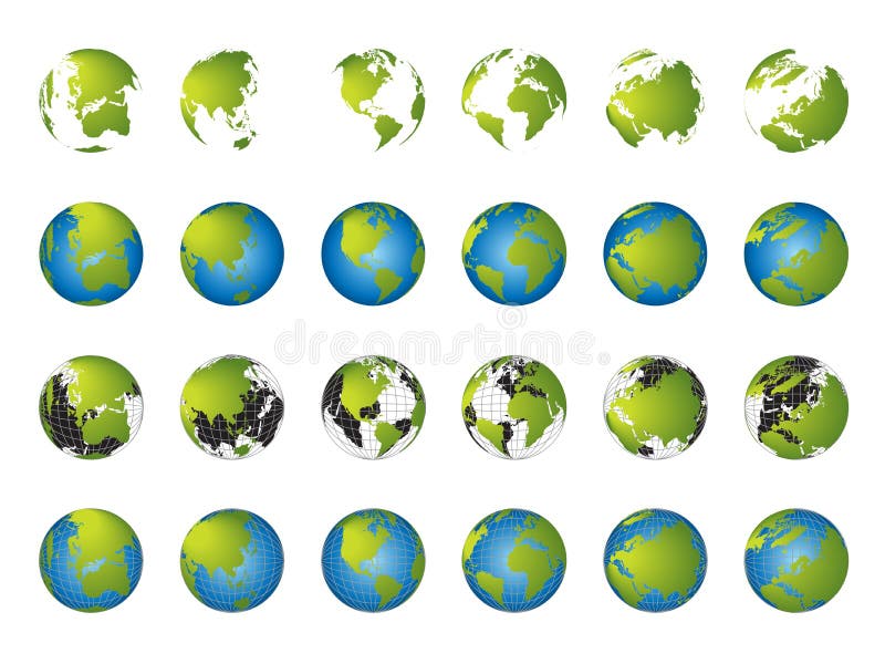
Free with trial Planet earth globe drawing, different views and countries + vector eps file. North america map vector vectors Globe views vector. Planet earth globe drawing, different views and countries + vector eps file
Free with trial Blue USA Map isolated. North america map vector vectors Blue USA Map vector. Blue USA Map isolated
Free with trial Great Detail Illustration of the world map in vintage style with all countries boundaries and names on a old parchment background. North america map vector vectors Vintage Illustrated World Map. Great Detail Illustration of the world map in vintage style with all countries boundaries and names on a old parchment background.
Free with trial An unfolded map of the world - 3D look suitable for any layout design - eps vector available. North america map vector vectors Map of the world
Free with trial Vector illustration of planet Earth showing North and South America and parts of Europe. North america map vector illustrations Planet Earth
Free with trial Cartoon world map with landscape and animal. Vector illustration. North america map vector vectors Cartoon world map
Free with trial Continuous line drawing of a world map, single line flat Earth concept, template or icon. North america map vector vectors Continuous line drawing of a world map, single line Earth. Continuous line drawing of a world map, single line flat Earth concept, template or icon
Free with trial World map, 3D globe series, different continents. North america map vector vectors World map, 3D globe series
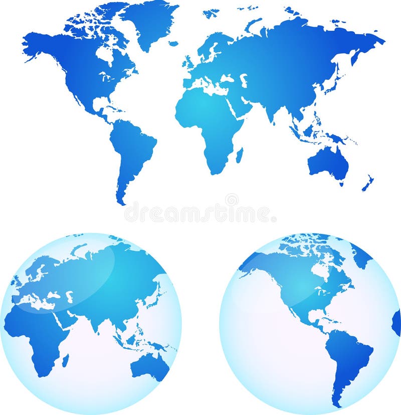
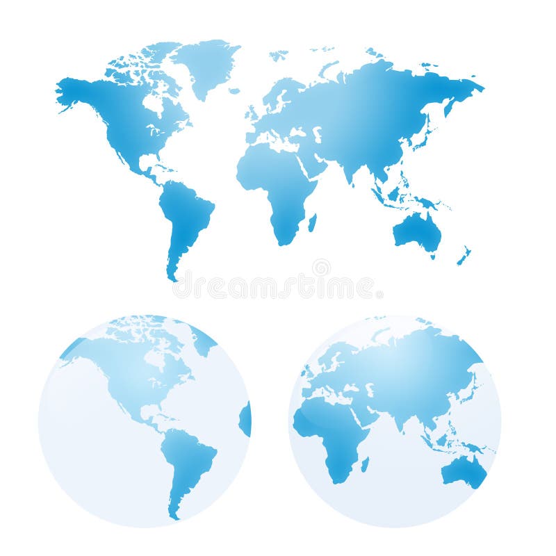
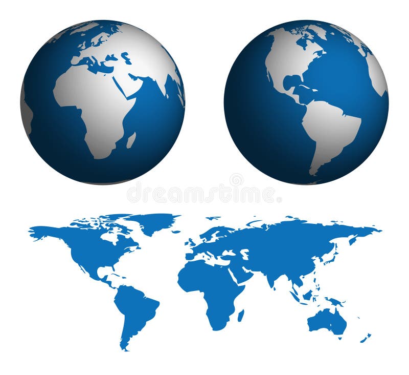
Free with trial Vector maps of earth - includes a flat map and two globes. one for the american continents and one for africa, europe and parts of asia. North america map vector vectors Vector maps of earth
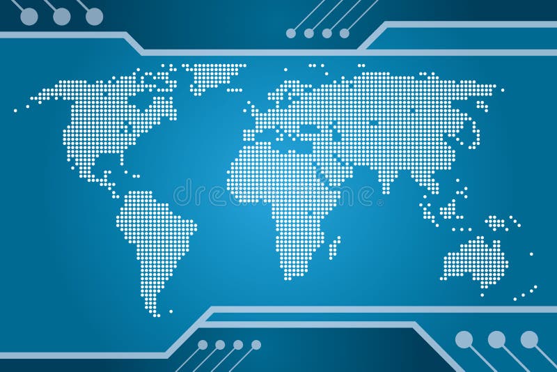
Free with trial An illustration of a rastered map of the world. North america map vector vectors World Tech Map. An illustration of a rastered map of the world.
Free with trial Administrative division of Canada. Map of Quebec with regions and main cities, vector illustration. North america map vector vectors Province of Canada - Quebec. Administrative division of Canada. Map of Quebec with regions and main cities, vector illustration
Free with trial USA map in many colors with black and white version. North america map vector vectors USA map
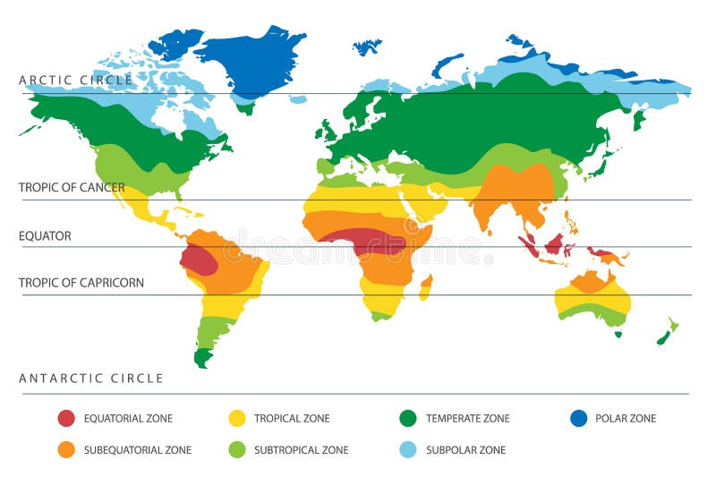
Free with trial World climate zones map with equator and tropic lines. Vector illustration. North america map vector vectors World Climate Map with Temperature Zones. World climate zones map with equator and tropic lines. Vector illustration
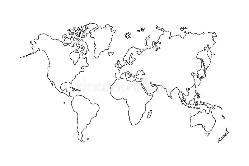
Free with trial Outline of world map on white background. North america map vector vectors Outline of world map on white background
Free with trial Vector illustration of world map and kids of various nationalities. North america map vector vectors World map and kids of various nationalities
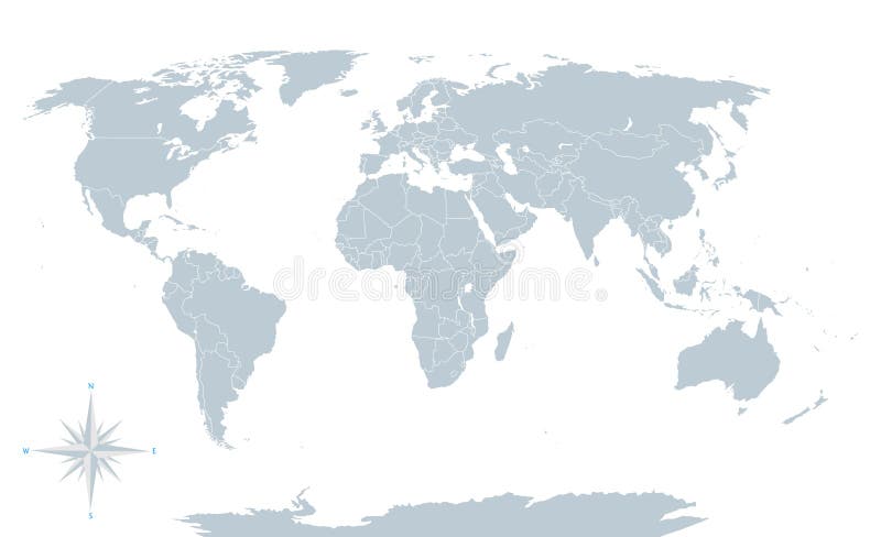
Free with trial Political world map, grey, with white borders. Every state and continent labeled and selectable. Versatile file, turn on an off visibility and color of each country in one click. North america map vector vectors Political world map, grey, with white borders.
Free with trial A detailed map of Canada. Each province/territory is separated into it's own object and is easily isolated. North america map vector vectors Map of Canada
Free with trial Vector art of the map of canada. North america map vector illustrations Map of canada
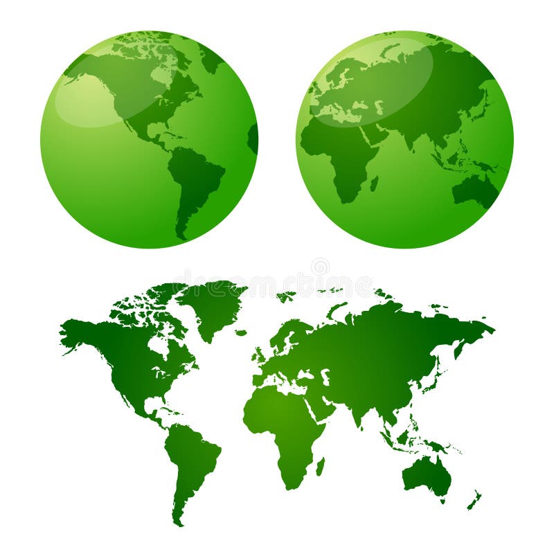
Free with trial Colored globe, map and dot map kit. Additional format Eps8 (very easy editable separate layers). North america map vector vectors Map and globe. Colored globe, map and dot map kit. Additional format Eps8 (very easy editable separate layers)
Free with trial Highly detailed World Map and navigation icons with globes. North america map vector vectors Highly detailed World Map and navigation icons
Free with trial World map, 3D globe blue, illustration. North america map vector vectors World map, 3D globe
Free with trial Vector maps of earth - includes a flat map and two globes... one for the american continents and one for africa, europe and parts of asia. North america map vector vectors Vector maps of earth
Free with trial Vector maps of earth - includes a flat map and two globes... one for the american continents and one for africa, europe and parts of asia. North america map vector vectors Vector maps of earth
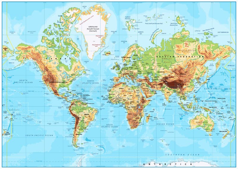
Free with trial Detailed Physical World Map with labeling. Vector illustration. North america map vector vectors Detailed Physical World Map
Free with trial Modern style color circles world map pattern. North america map vector vectors Color circles world map pattern
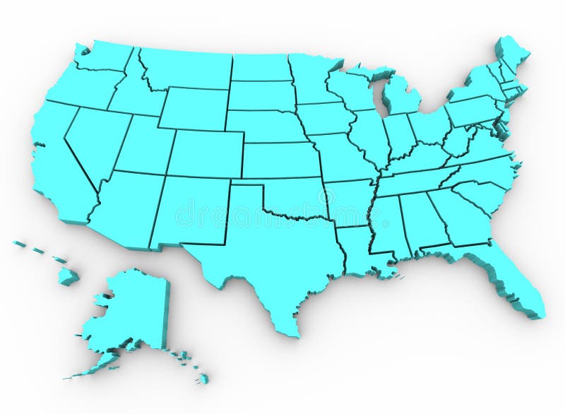
Free with trial A blue 3d rendering of a United States map. North america map vector illustrations U. S. A. Map - United States 3D Render. A blue 3d rendering of a United States map
Free with trial A dynamic 3d world map with background. North america map vector vectors Globe Word Map of Earth Background. A dynamic 3d world map with background.
Free with trial Colorful world map illustration. Abstract background. North america map vector vectors Colorful world map
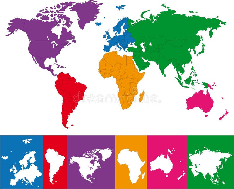
Free with trial World map with highlighted continents in different colors. All labels are in the separate layer. North america map vector vectors World map with highlighted continents
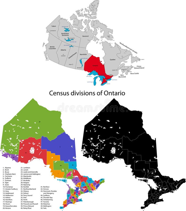
Free with trial Administrative division of Canada. Map of Ontario with census divisions, vector illustration. North america map vector vectors Province of Canada - Ontario. Administrative division of Canada. Map of Ontario with census divisions, vector illustration
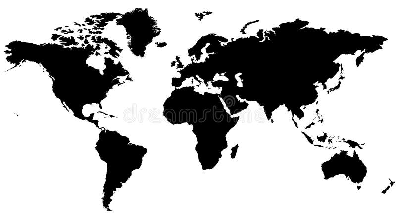
Free with trial Detailed map of the world on a white background. North america map vector vectors World Map. Detailed map of the world on a white background
Free with trial U. S. A map with name of states. North america map vector vectors U.S.A map. U.S.A map with name of states.
Free with trial People are standing in front of a large map, conceptual business illustration. The base map is from Central Intelligence Agency Web site. North america map vector vectors Large map. People are standing in front of a large map, conceptual business illustration. The base map is from Central Intelligence Agency Web site.
Free with trial Canada map with provinces and boundary. North america map vector vectors Canada map. Canada map with provinces and boundary.
Free with trial Featuring of an US map. North america map vector illustrations Vector - US Map. Featuring of an US map.
Free with trial Vector art of the map of canada. North america map vector illustrations Map of canada
Free with trial World map made �EUR. North america map vector vectors Text world map. World map made �EUR
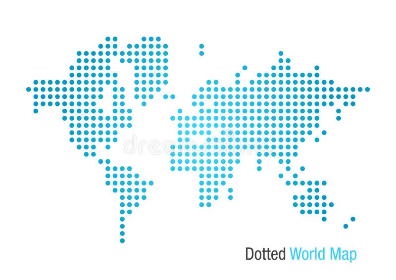
Free with trial Map of the World formed by dots. North america map vector vectors Dotted World Map. Map of the World formed by dots.
Free with trial Set of 3D images of the State of North Carolina with icons. North america map vector vectors North Carolina 3D. Set of 3D images of the State of North Carolina with icons.
Free with trial World map green, 3D globe, illustration. North america map vector vectors World map, 3D globe. World map green, 3D globe, illustration
Free with trial World map, 3D globe, illustration. North america map vector vectors World map, 3D globe
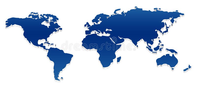
Free with trial Modern style blue blank world map. North america map vector vectors Blue blank world map
Free with trial Vector art of the map of the united states. North america map vector illustrations Map of the united states
Free with trial Vector art of the map of the united states. North america map vector illustrations Map of the united states
Free with trial World map, 3D globe series, different continents. North america map vector vectors World map, 3D globe series
Free with trial United states map in dots, contemporary and modern style. North america map vector vectors United states map in dots
Free with trial Raster version of vector blue global Set with a map There is in addition a vector format (EPS 8). North america map vector vectors Blue global Set with a map
Free with trial Globe and Map of the World. Map was manually traced in illustrator from public domain world map. No transparency. EPS file also available. North america map vector vectors Globe and Map of the World
Free with trial Vector clip art illustration of business people team, silhouettes infront of world atlas map. North america map vector vectors International Business Team. Vector clip art illustration of business people team, silhouettes infront of world atlas map.
Free with trial World Map Color Detailed - Asia in Center. North america map vector vectors Asia Center World Map Color. World Map Color Detailed - Asia in Center
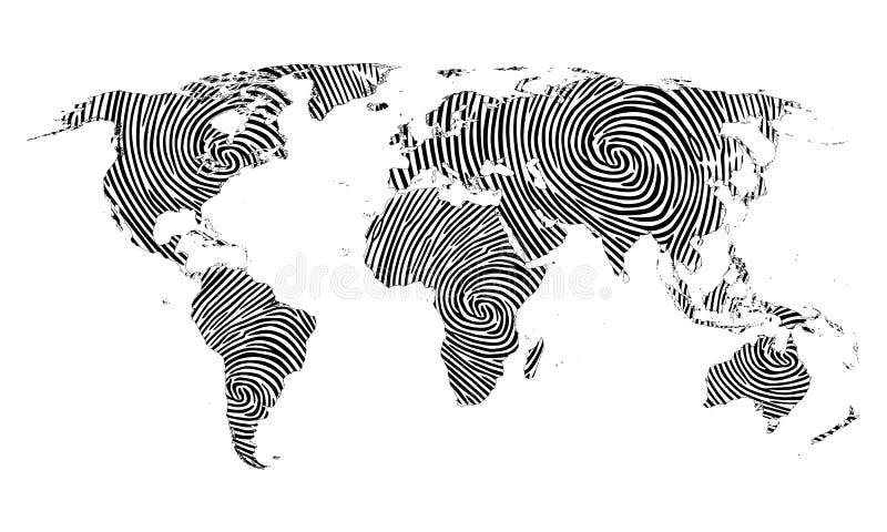
Free with trial Fingerprint map of the world on the white background. North america map vector vectors Fingerprint map of the world