Free with trial Detailed Political World Map with all names of countries, cities and capitals, river, lake, oceans, seas, islands, South Pole and North Pole. Oceans seas map vectors World Map Detailed Political Map. Detailed Political World Map with all names of countries, cities and capitals, river, lake, oceans, seas, islands, South Pole and North Pole
Free with trial Detailed Physical World Map with all names of countries, cities and capitals, river, lake, oceans, seas, islands, South Pole and North Pole. Oceans seas map vectors World Map Detailed Physical Map. Detailed Physical World Map with all names of countries, cities and capitals, river, lake, oceans, seas, islands, South Pole and North Pole
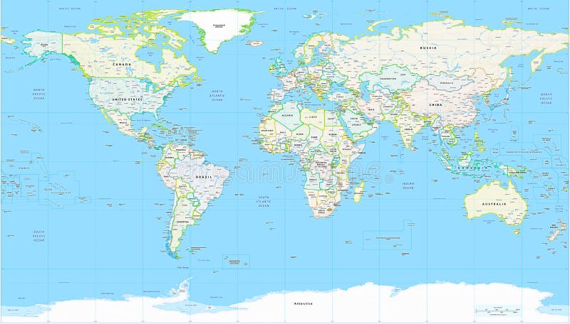
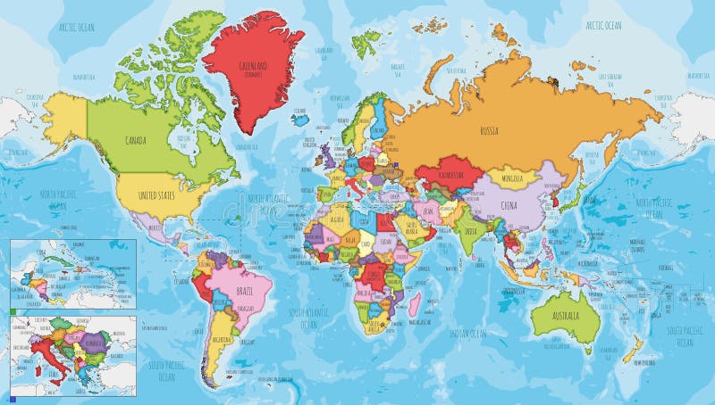
Free with trial Political world map extremely detailed. It contains countries, capitals, oceans and seas. Oceans seas map illustrations World map political detailed. Political world map extremely detailed. It contains countries, capitals, oceans and seas.
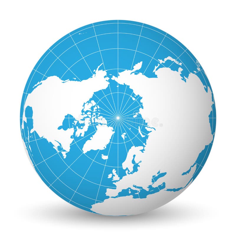
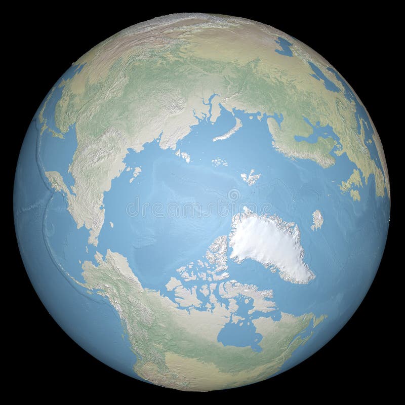
Free with trial Earth globe with green world map and blue seas and oceans focused on Arctic Ocean and North Pole. With thin white meridians and parallels. 3D vector illustration. Oceans seas map vectors Earth globe with white world map and blue seas and oceans focused on Arctic Ocean and North Pole. With thin white. Earth globe with green world map and blue seas and oceans focused on Arctic Ocean and North Pole. With thin white meridians and parallels. 3D vector illustration.
Free with trial Detailed World Map with all Names of Countries, river, lake, oceans, seas. EPS 10 file included. Oceans seas map vectors Detailed World Map with all Names of Countries
Free with trial Accurate map of the world. Includes Antarctica. Maps to a sphere to make a globe accurately to latitude and longitude. Also includes many islands - Hawaii, Aleutians, Galapagos, Maldives, Canary, etc. The largest lakes and seas included. Particular care taken to make the arctic and antarctic map correctly to a sphere. Oceans seas map vectors Neutral World High Detail. Accurate map of the world. Includes Antarctica. Maps to a sphere to make a globe accurately to latitude and longitude. Also includes many islands - Hawaii, Aleutians, Galapagos, Maldives, Canary, etc. The largest lakes and seas included. Particular care taken to make the arctic and antarctic map correctly to a sphere.
Free with trial Computer generated globe: North and South America in front; globe is generated with GIMP from world map; transparent globe on white; visible wireframe. Oceans seas map illustrations Transparent globe: America. Computer generated globe: North and South America in front; globe is generated with GIMP from world map; transparent globe on white; visible wireframe
Free with trial Computer generated globe: Europe and Africa view; isolated on white. Oceans seas map illustrations Blue globe: Europe and Africa. Computer generated globe: Europe and Africa view; isolated on white
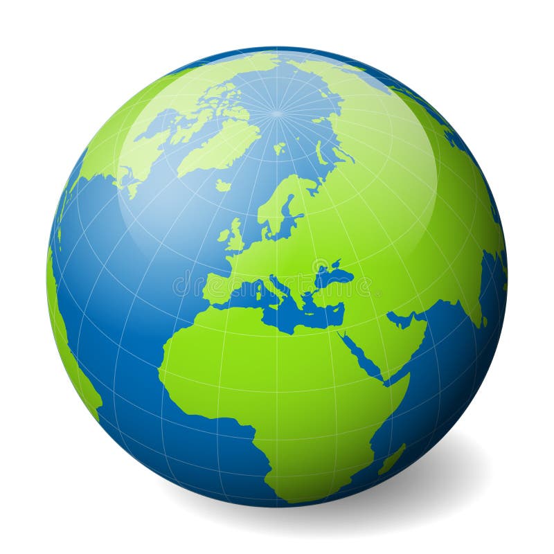
Free with trial Earth globe with green world map and blue seas and oceans focused on Arctic Ocean and North Pole. With thin white meridians and parallels. 3D vector illustration. Oceans seas map vectors Earth globe with green world map and blue seas and oceans focused on Arctic Ocean and North Pole. With thin white
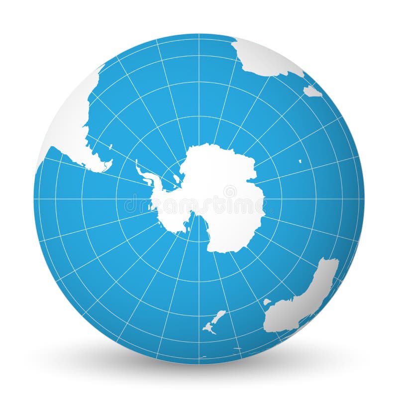
Free with trial Earth globe with green world map and blue seas and oceans focused on Antarctica with South Pole. With thin white meridians and parallels. 3D vector illustration. Oceans seas map vectors Earth globe with white world map and blue seas and oceans focused on Antarctica with South Pole. With thin white. Earth globe with green world map and blue seas and oceans focused on Antarctica with South Pole. With thin white meridians and parallels. 3D vector illustration.
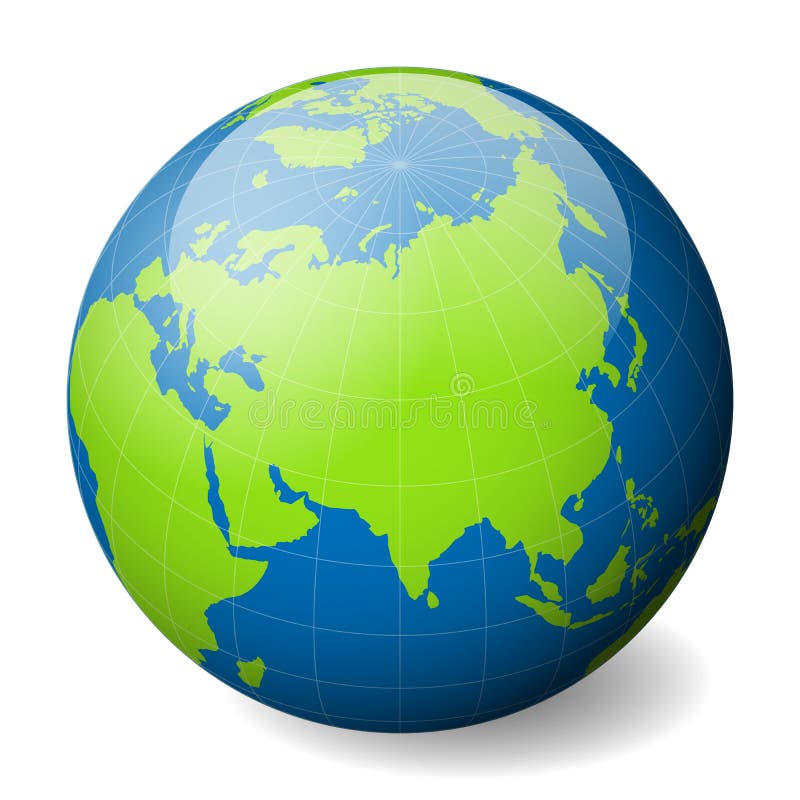
Free with trial Earth globe with green world map and blue seas and oceans focused on Asia. With thin white meridians and parallels. 3D vector illustration. Oceans seas map vectors Earth globe with white world map and blue seas and oceans focused on Asia. With thin white meridians and parallels. 3D. Earth globe with green world map and blue seas and oceans focused on Asia. With thin white meridians and parallels. 3D vector illustration.
Free with trial A flattened world map showing oceans, continents and other features. Oceans seas map illustrations World map
Free with trial Shaded Relief Map of the World, Data Source: NASA. Oceans seas map illustrations Shaded Relief Map of the World
Free with trial A map of the world in a classic round atlas form. Oceans seas map illustrations World map 03. A map of the world in a classic round atlas form
Free with trial Earth,meadow and butterfly illustration. Oceans seas map illustrations World. Earth,meadow and butterfly illustration
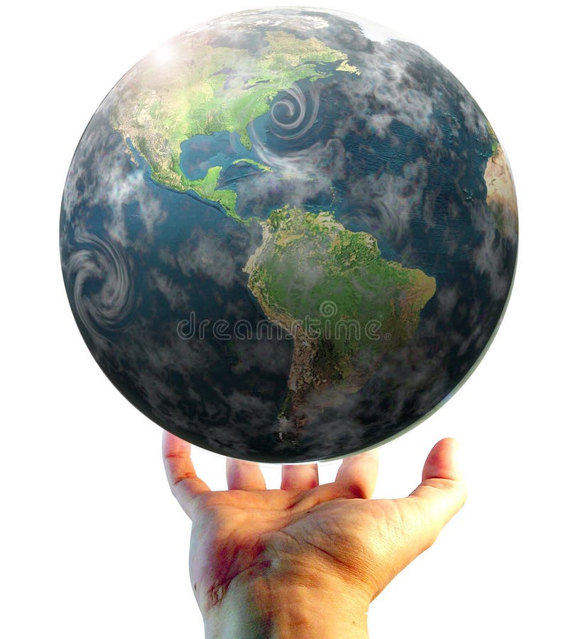
Free with trial Hand holding the earth illustration. Oceans seas map illustrations World. Hand holding the earth illustration
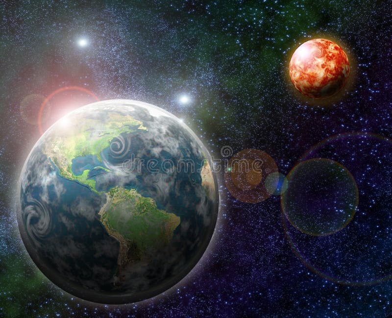
Free with trial Illustration of three earth views arranged in a row against starry sky. Oceans seas map illustrations Three Earths A. Illustration of three earth views arranged in a row against starry sky
Free with trial Highres 3d isolated objects on white background series. Oceans seas map illustrations 7000 px two hemispheres of a globe. Highres 3d isolated objects on white background series
Free with trial Detailed global world map, with borders and names of countries, seas and oceans, vector illustration detailed map for your design. Oceans seas map vectors Detailed global world map, with borders and names of countries, seas and oceans, vector illustration
Free with trial Earth globe with green world map and blue seas and oceans focused on North America. With thin white meridians and parallels. 3D vector illustration. Oceans seas map vectors Earth globe with white world map and blue seas and oceans focused on North America. With thin white meridians and. Earth globe with green world map and blue seas and oceans focused on North America. With thin white meridians and parallels. 3D vector illustration.
Free with trial Earth globe with green world map and blue seas and oceans focused on Antarctica with South Pole. With thin white meridians and parallels. 3D vector illustration. Oceans seas map vectors Earth globe with green world map and blue seas and oceans focused on Antarctica with South Pole. With thin white
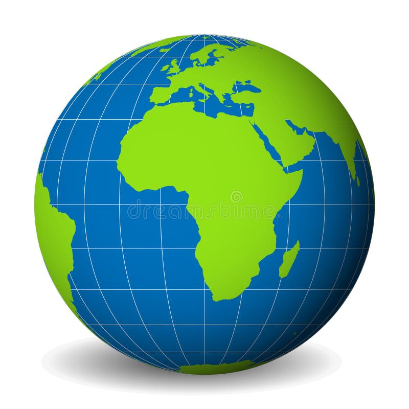
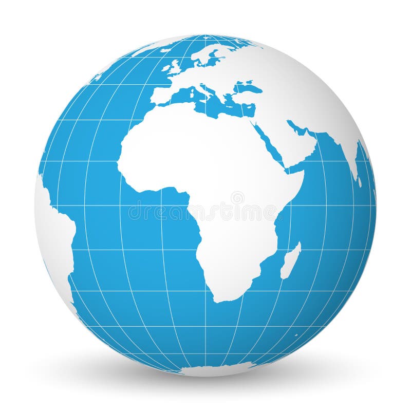
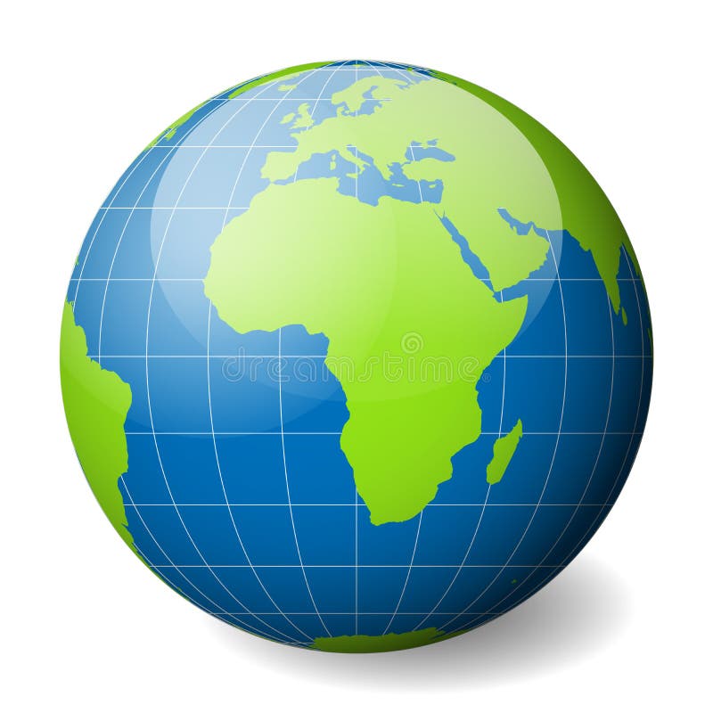
Free with trial Earth globe with green world map and blue seas and oceans focused on Africa. With thin white meridians and parallels. 3D vector illustration. Oceans seas map vectors Earth globe with green world map and blue seas and oceans focused on Africa. With thin white meridians and parallels. 3D
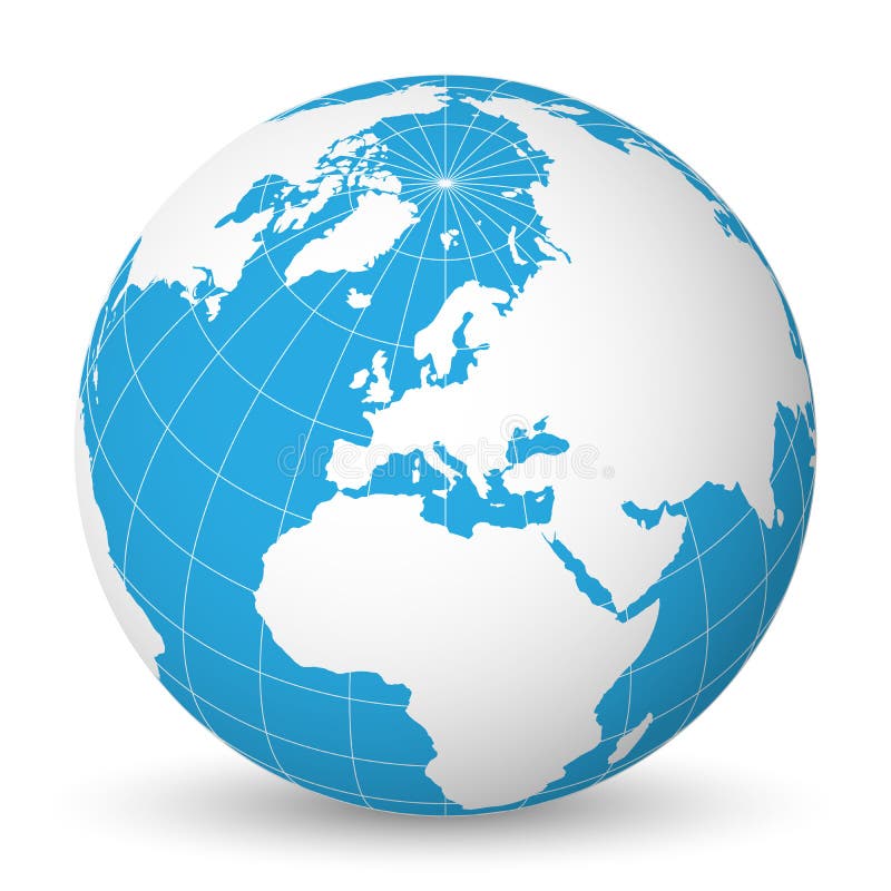
Free with trial Earth globe with green world map and blue seas and oceans focused on Europe. With thin white meridians and parallels. 3D vector illustration. Oceans seas map vectors Earth globe with white world map and blue seas and oceans focused on Europe. With thin white meridians and parallels. 3D. Earth globe with green world map and blue seas and oceans focused on Europe. With thin white meridians and parallels. 3D vector illustration.
Free with trial World map with shorelines, national borders, oceans and seas under the Robinson projection. English labeling. Illustration. Oceans seas map vectors World Map
Free with trial A map of the world in a classic atlas globe form. Oceans seas map illustrations World map 03. A map of the world in a classic atlas globe form
Free with trial Dark and faded-looking map of the world. Oceans seas map illustrations Antique World Map. Dark and faded-looking map of the world.
Free with trial World map with countries and cities listed in Russian. With the seas and oceans. Vector illustration. High Detail World map. All elements are separated in editable layers clearly labeled. Oceans seas map vectors World map with countries and cities listed in
Free with trial Political map of Europe with 3d texture flags. Oceans seas map illustrations Map of Europe with 3d textures flags. Political map of Europe with 3d texture flags
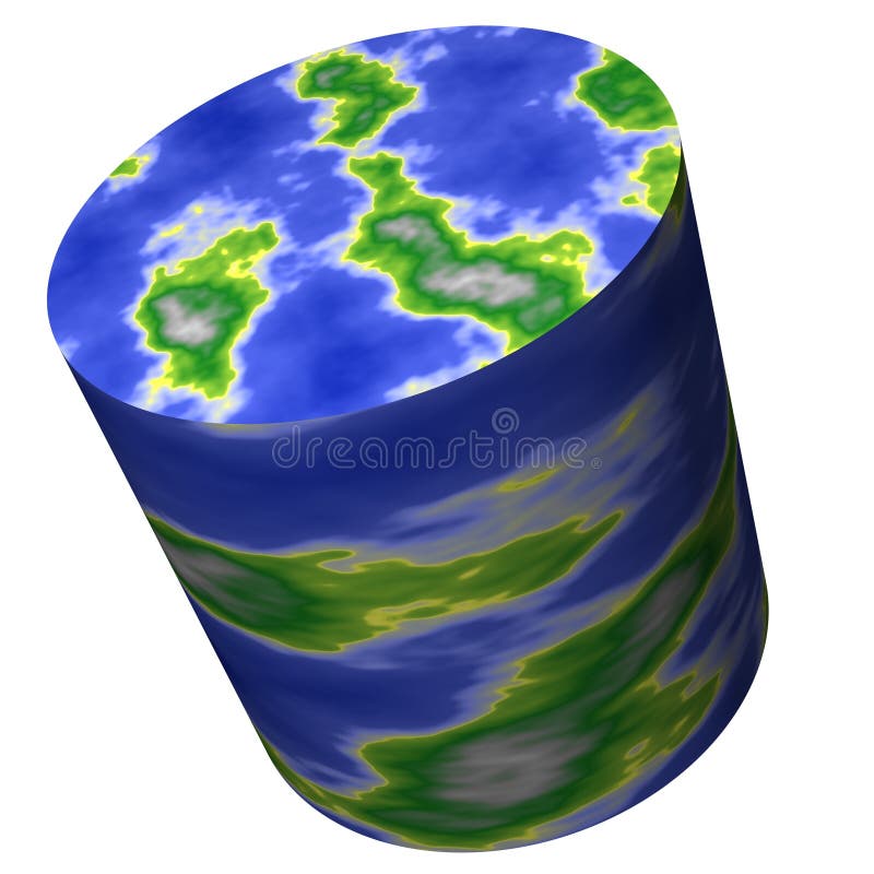
Free with trial Think Out of the Box. The world don't have to be round, it can be a different shape, perhaps a cylinder?. Oceans seas map illustrations Cylinder World Map. Think Out of the Box. The world don't have to be round, it can be a different shape, perhaps a cylinder?
Free with trial Enlargement of the globe of North Pole. Oceans seas map illustrations World earth globe arctic, north pole, relief map. Enlargement of the globe of North Pole
Free with trial Illustration of globe outline design isolated on white background. Oceans seas map illustrations Globe outline
Free with trial The globe with African continent presented, white background. Oceans seas map illustrations The globe on white. The globe with African continent presented, white background.
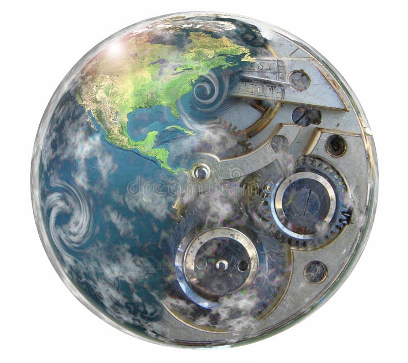
Free with trial Earth blend whit clock illustration. Oceans seas map illustrations World. Earth blend whit clock illustration
Free with trial Heart shaped world in deep space (concept for caring about the earth and the environment). Oceans seas map illustrations World heart. Heart shaped world in deep space (concept for caring about the earth and the environment)
Free with trial 3d design of World technology with blue background. Oceans seas map illustrations World technology
Free with trial Computer generated globe: America. Oceans seas map illustrations Green globe: America. Computer generated globe: America
Free with trial Ecological catastrophe of the Earth - shallowing of the oceans and seas. Oceans seas map illustrations Drought on the planet Earth. Ecological catastrophe of the Earth - shallowing of the oceans and seas
Free with trial Metaphor for ecological disaster - the disappearance of water, drying up the oceans and seas. Oceans seas map illustrations Metaphor for ecological disaster
Free with trial Ecological catastrophe of the Earth - shallowing of the oceans and seas. Oceans seas map illustrations Ecological catastrophe of the Earth
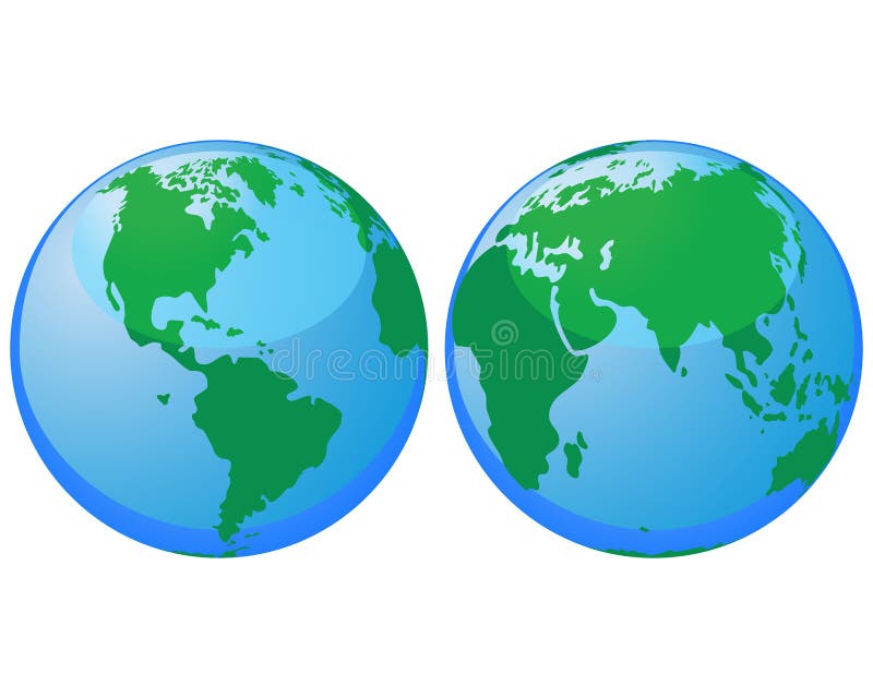
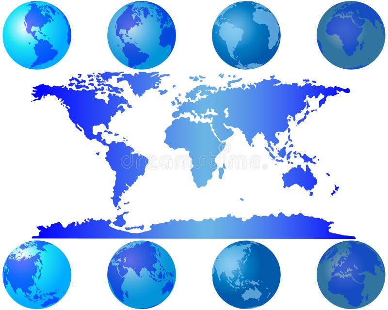
Free with trial Set of worls globes for design use. Oceans seas map vectors World globes. Set of worls globes for design use
Free with trial Set of worls globes for design use. Oceans seas map vectors World globes. Set of worls globes for design use
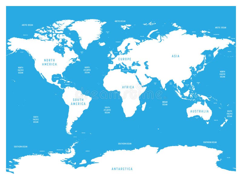
Free with trial Oceans and seas boundaries map , Continents of the World. Oceans seas map vectors Oceans and seas boundaries map
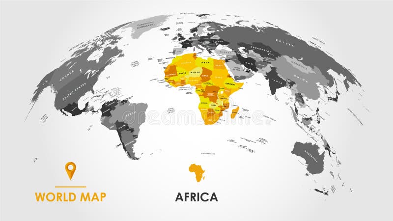
Free with trial Detailed global world map, with borders and names of countries, seas and oceans, Continent of Africa in colors, vector illustration for design. Oceans seas map vectors Detailed global world map, with borders and names of countries, seas and oceans, Continent of Africa in colors, vector
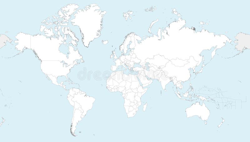
Free with trial Blank political World Map with with rivers, lakes, seas and oceans. Vector illustration. Oceans seas map vectors Blank political World Map with with rivers, lakes, seas and oceans
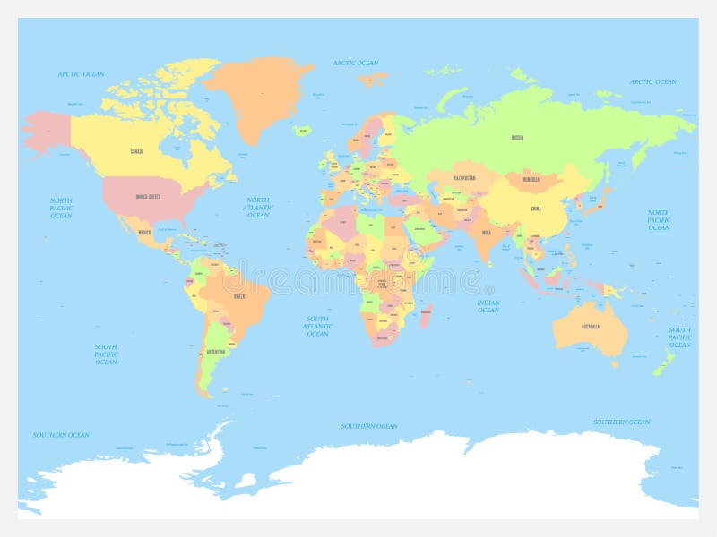
Free with trial World map vector high detailed illustration with names of countries, oceans, main seas and lakes. Countries colored by continents. Oceans seas map vectors World map vector high detailed illustration with names of countries, oceans, main seas and lakes
Free with trial Tectonic plates on Earth's surface. World map with names of countries, continents, oceans, main seas and lakes. Vector illustration. Oceans seas map vectors Tectonic plates on Earth\'s surface. World map with names of countries, continents, oceans, main seas and lakes. Tectonic plates on Earth's surface. World map. Tectonic plates on Earth's surface. World map with names of countries, continents, oceans, main seas and lakes. Vector illustration
Free with trial Highly detailed World Map vector illustration with different colors for each country and different tones of blue for oceans and seas. Names in English. Editable and clearly labeled layers. Oceans seas map vectors Highly detailed World Map vector illustration with different colors for each country. Editable and clearly labeled layers. Highly detailed World Map vector illustration with different colors for each country and different tones of blue for oceans and seas. Names in English. Editable and clearly labeled layers
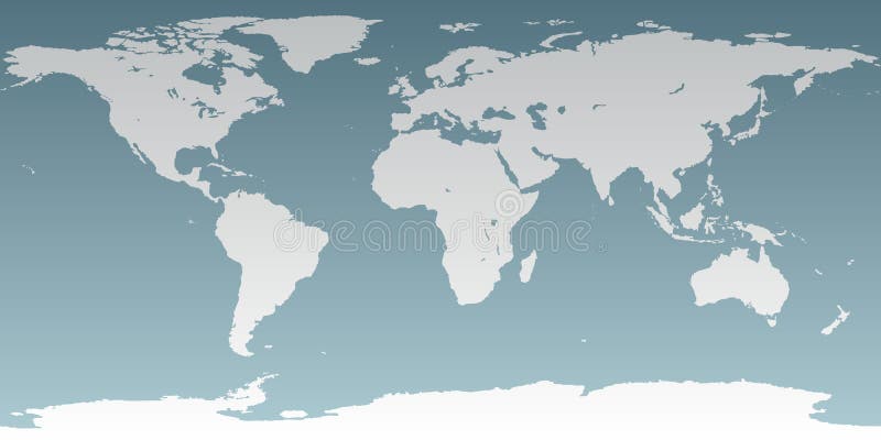
Free with trial Highly detailed blank World Map vector illustration with oceans and seas in blue and territories in white. Editable and clearly labeled layers. Oceans seas map vectors Highly detailed blank World Map vector illustration. Editable and clearly labeled layers. Highly detailed blank World Map vector illustration with oceans and seas in blue and territories in white. Editable and clearly labeled layers
Free with trial Highly detailed blank World Map vector illustration with different colors for each country and different tones of blue for oceans and seas. Editable and clearly labeled layers. Oceans seas map vectors Highly detailed blank World Map vector illustration with different colors for each country. Editable and clearly labeled layers. Highly detailed blank World Map vector illustration with different colors for each country and different tones of blue for oceans and seas. Editable and clearly labeled layers
Free with trial Detailed global world map, with borders and names of countries, seas and oceans, Continent of South America in colors, vector illustration. Oceans seas map vectors Detailed global world map, with borders and names of countries, seas and oceans, Continent of South America in colors, vector
Free with trial World map atlas. Pink colored political map with blue seas and oceans. Vector illustration. Oceans seas map vectors World map atlas. Pink colored political map with blue seas and oceans. Vector illustration
Free with trial Earth globe with green world map and blue seas and oceans focused on North America. With thin white meridians and parallels. 3D vector illustration. Oceans seas map vectors Earth globe with green world map and blue seas and oceans focused on North America. With thin white meridians and
Free with trial World Map in Robinson Projection with meridians and parallels grid. White land and blue seas and oceans. Vector illustration. Oceans seas map vectors World Map in Robinson Projection with meridians and parallels grid. White land and blue seas and oceans. Vector
Free with trial Earth globe with green world map and blue seas and oceans focused on Europe. With thin white meridians and parallels. 3D glossy sphere vector illustration. Oceans seas map vectors Earth globe with green world map and blue seas and oceans focused on Europe. With thin white meridians and parallels. 3D
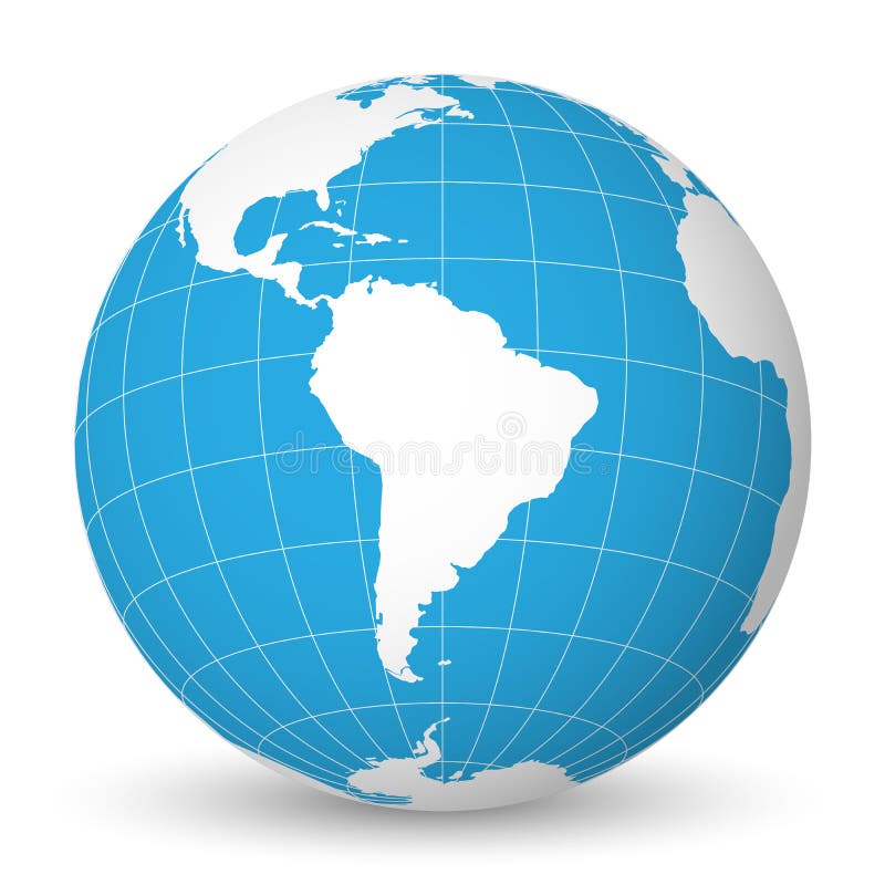
Free with trial Earth globe with green world map and blue seas and oceans focused on South America. With thin white meridians and parallels. 3D vector illustration. Oceans seas map vectors Earth globe with white world map and blue seas and oceans focused on South America. With thin white meridians and. Earth globe with green world map and blue seas and oceans focused on South America. With thin white meridians and parallels. 3D vector illustration.
Free with trial Oceanographical map of World with labels of oceans, seas, gulfs, bays and straits. Vector map with white lands and blue water. Oceans seas map vectors Oceanographical map of World with labels of oceans, seas, gulfs, bays and straits. Vector map with white lands and blue
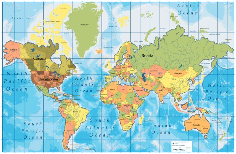
Free with trial World map atlas. Colored political map with blue seas and oceans. Vector illustration. Oceans seas map vectors World map atlas. Colored political map with blue seas and oceans. Vector illustration
Free with trial Earth globe with green world map and blue seas and oceans focused on Australia. With thin white meridians and parallels. 3D glossy sphere vector illustration. Oceans seas map vectors Earth globe with green world map and blue seas and oceans focused on Australia. With thin white meridians and parallels
Free with trial Earth globe with green world map and blue seas and oceans focused on Australia. With thin white meridians and parallels. 3D vector illustration. Oceans seas map vectors Earth globe with white world map and blue seas and oceans focused on Australia. With thin white meridians and parallels. Earth globe with green world map and blue seas and oceans focused on Australia. With thin white meridians and parallels. 3D vector illustration.
Free with trial Earth globe with green world map and blue seas and oceans focused on Africa. With thin white meridians and parallels. 3D vector illustration. Oceans seas map vectors Earth globe with white world map and blue seas and oceans focused on Africa. With thin white meridians and parallels. 3D. Earth globe with green world map and blue seas and oceans focused on Africa. With thin white meridians and parallels. 3D vector illustration.
Free with trial Earth planet earth globe with green continents, seas, oceans and poles surrounded by stars in space, vector. Oceans seas map vectors Earth planet earth globe with green continents, seas, oceans and poles surrounded by stars in space
Free with trial World map of Oceans with labels of oceans, seas, gulfs, bays and straits. Oceans seas map vectors World map of Oceans with labels of oceans, seas, gulfs, bays and straits
Free with trial Earth globe with green world map and blue seas and oceans focused on Asia. With thin white meridians and parallels. 3D glossy sphere vector illustration. Oceans seas map vectors Earth globe with green world map and blue seas and oceans focused on Asia. With thin white meridians and parallels. 3D
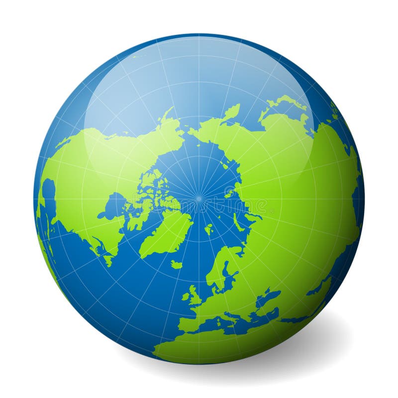
Free with trial Earth globe with green world map and blue seas and oceans focused on Arctica with North Pole. With thin white meridians and parallels. 3D glossy sphere vector illustration. Oceans seas map vectors Earth globe with green world map and blue seas and oceans focused on Arctica with North Pole. With thin white meridians
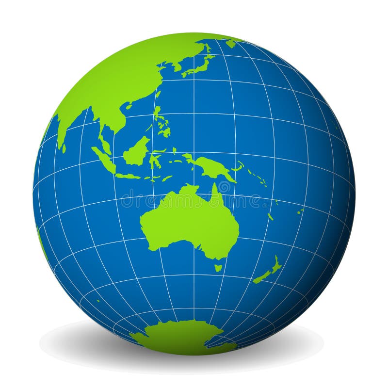
Free with trial Earth globe with green world map and blue seas and oceans focused on Australia. With thin white meridians and parallels. 3D vector illustration. Oceans seas map vectors Earth globe with green world map and blue seas and oceans focused on Australia. With thin white meridians and parallels
Free with trial Earth globe with green world map and blue seas and oceans focused on Africa. With thin white meridians and parallels. 3D glossy sphere vector illustration. Oceans seas map vectors Earth globe with green world map and blue seas and oceans focused on Africa. With thin white meridians and parallels. 3D
Free with trial World map atlas. Colored political map with blue seas and oceans. Vector illustration. Oceans seas map vectors World map atlas. Colored political map with blue seas and oceans. Vector illustration
Free with trial Natural Earth globe. 3D world map with green lands dropping shadows on blue seas and oceans. Vector illustration. Oceans seas map vectors Natural Earth globe. 3D world map with green lands dropping shadows on blue seas and oceans. Vector illustration
Free with trial World map atlas. Colored political map with blue seas and oceans. Vector illustration. Oceans seas map vectors World map atlas. Colored political map with blue seas and oceans. Vector illustration