Free with trial Urk municipality (Kingdom of the Netherlands, Holland, Flevoland province) map vector illustration, scribble sketch Urk map. Urk map vectors Urk municipality
Free with trial Detailed hand-drawn navigational urban street roads map of the Dutch city of URK, NETHERLANDS with solid road lines and name tag on vintage background. Urk map vectors Street roads map of URK, NETHERLANDS. Detailed hand-drawn navigational urban street roads map of the Dutch city of URK, NETHERLANDS with solid road lines and name tag on vintage background
Free with trial Noordoostpolder. Administrative area of Netherlands on a Topographic Humanitarian style map. Urk map illustrations Noordoostpolder, Netherlands. Topographic Humanitarian. Noordoostpolder. Administrative area of Netherlands on a Topographic Humanitarian style map
Free with trial Urk blank outline map set. Urk map vectors Urk outline map. Urk blank outline map set
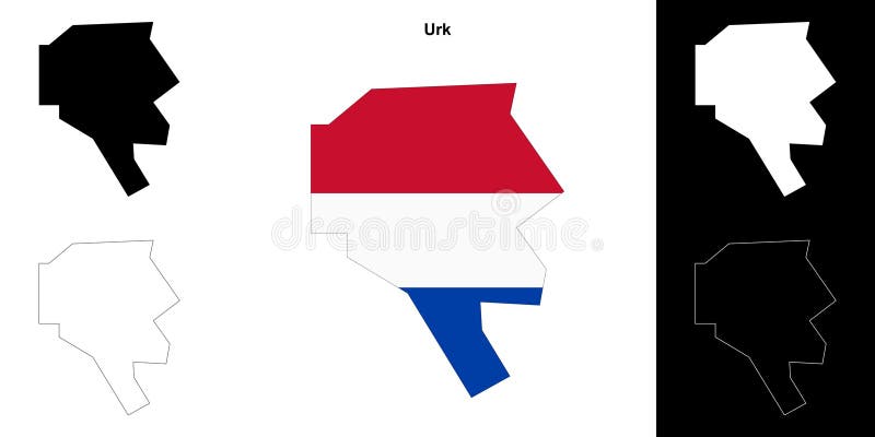
Free with trial Urk municipality (Kingdom of the Netherlands, Holland, Flevoland province) map vector illustration, scribble sketch Urk map. Urk map vectors Urk municipality (Kingdom of the Netherlands, Holland, Flevoland province)
Free with trial Urk municipality (Kingdom of the Netherlands, Holland, Flevoland province) map vector illustration, scribble sketch Urk map. Urk map vectors Urk municipality (Kingdom of the Netherlands, Holland, Flevoland province)
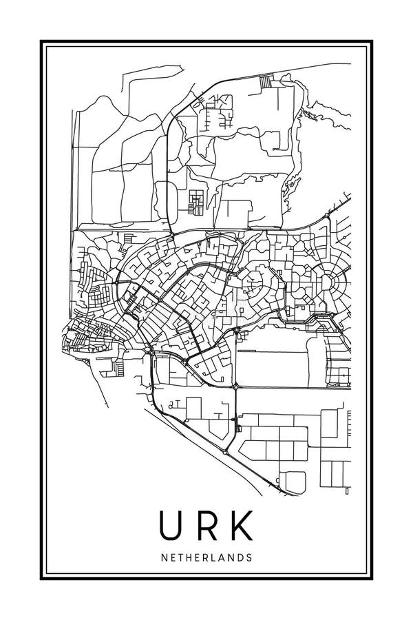
Free with trial Printable downtown road map poster of the Dutch city of URK on solid white background with city name. Urk map vectors Poster print road map of the Dutch town of URK. Printable downtown road map poster of the Dutch city of URK on solid white background with city name
Free with trial Regional flag of Urk, Netherlands featuring codfish emblem. Represents Urk fishing heritage, Dutch maritime culture, and local pride. Urk map vectors Urker Flag met Schelvis Codfish Emblem Flag of Urk, Netherlands, Traditional Dutch Fishing Community Banner. Regional flag of Urk, Netherlands featuring codfish. Regional flag of Urk, Netherlands featuring codfish emblem. Represents Urk fishing heritage, Dutch maritime culture, and local pride
Free with trial Fryslan. Administrative area of Netherlands outlined on a colored elevation map. Urk map illustrations Fryslan outlined, Netherlands. Physical. Fryslan. Administrative area of Netherlands outlined on a colored elevation map
Free with trial Fryslan. Administrative area of Netherlands outlined on a grayscale elevation map. Urk map illustrations Fryslan outlined, Netherlands. Grayscale. Fryslan. Administrative area of Netherlands outlined on a grayscale elevation map
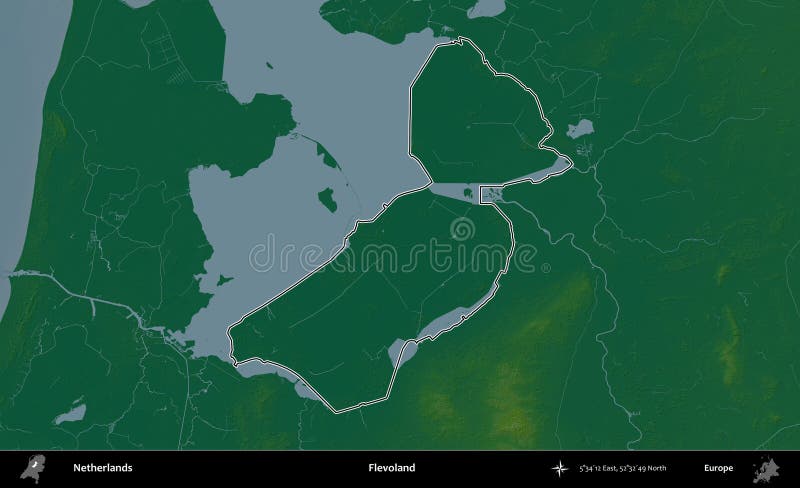
Free with trial Flevoland. Administrative area of Netherlands outlined on a colored elevation map. Urk map illustrations Flevoland outlined, Netherlands. Physical. Flevoland. Administrative area of Netherlands outlined on a colored elevation map
Free with trial Flevoland. Administrative area of Netherlands outlined on a grayscale elevation map. Urk map illustrations Flevoland outlined, Netherlands. Grayscale. Flevoland. Administrative area of Netherlands outlined on a grayscale elevation map
Free with trial Fryslan. Administrative area of Netherlands highlighted and outlined on a darkened colored elevation map. Urk map illustrations Fryslan highlighted, Netherlands. Physical. Fryslan. Administrative area of Netherlands highlighted and outlined on a darkened colored elevation map
Free with trial Fryslan. Administrative area of Netherlands highlighted and outlined on a darkened grayscale elevation map. Urk map illustrations Fryslan highlighted, Netherlands. Grayscale. Fryslan. Administrative area of Netherlands highlighted and outlined on a darkened grayscale elevation map
Free with trial Flevoland. Administrative area of Netherlands highlighted and outlined on a darkened colored elevation map. Urk map illustrations Flevoland highlighted, Netherlands. Physical. Flevoland. Administrative area of Netherlands highlighted and outlined on a darkened colored elevation map
Free with trial Flevoland. Administrative area of Netherlands highlighted and outlined on a darkened grayscale elevation map. Urk map illustrations Flevoland highlighted, Netherlands. Grayscale. Flevoland. Administrative area of Netherlands highlighted and outlined on a darkened grayscale elevation map
Free with trial Fryslan. Administrative area of Netherlands isolated on white on a colored elevation map. Urk map illustrations Fryslan, Netherlands, isolated on white. Physical. Fryslan. Administrative area of Netherlands isolated on white on a colored elevation map
Free with trial Fryslan. Administrative area of Netherlands isolated on white on a grayscale elevation map. Urk map illustrations Fryslan, Netherlands, isolated on white. Grayscale. Fryslan. Administrative area of Netherlands isolated on white on a grayscale elevation map
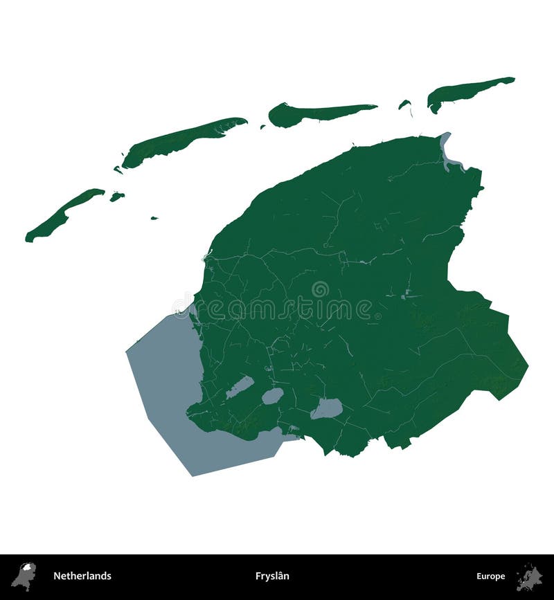
Free with trial Flevoland. Administrative area of Netherlands isolated on white on a colored elevation map. Urk map illustrations Flevoland, Netherlands, isolated on white. Physical. Flevoland. Administrative area of Netherlands isolated on white on a colored elevation map
Free with trial Flevoland. Administrative area of Netherlands isolated on white on a grayscale elevation map. Urk map illustrations Flevoland, Netherlands, isolated on white. Grayscale. Flevoland. Administrative area of Netherlands isolated on white on a grayscale elevation map
Free with trial Flevoland. Administrative area of Netherlands outlined on a Topographic Humanitarian style map. Urk map illustrations Flevoland outlined, Netherlands. Topographic Humanitarian. Flevoland. Administrative area of Netherlands outlined on a Topographic Humanitarian style map
Free with trial Flevoland. Administrative area of Netherlands highlighted and outlined on a darkened Topographic Humanitarian style map. Urk map illustrations Flevoland highlighted, Netherlands. Topographic Humanitarian. Flevoland. Administrative area of Netherlands highlighted and outlined on a darkened Topographic Humanitarian style map
Free with trial Noordoostpolder. Administrative area of Netherlands outlined on a Topographic Humanitarian style map. Urk map illustrations Noordoostpolder outlined, Netherlands. Topographic Humanitarian. Noordoostpolder. Administrative area of Netherlands outlined on a Topographic Humanitarian style map
Free with trial Noordoostpolder. Administrative area of Netherlands highlighted and outlined on a darkened Topographic Humanitarian style map. Urk map illustrations Noordoostpolder highlighted, Netherlands. Topographic Humanitarian. Noordoostpolder. Administrative area of Netherlands highlighted and outlined on a darkened Topographic Humanitarian style map
Free with trial Flevoland. Administrative area of Netherlands isolated on white on a Topographic Humanitarian style map. Urk map illustrations Flevoland, Netherlands, isolated on white. Topographic Humanitarian. Flevoland. Administrative area of Netherlands isolated on white on a Topographic Humanitarian style map
Free with trial Noordoostpolder. Administrative area of Netherlands isolated on white on a Topographic Humanitarian style map. Urk map illustrations Noordoostpolder, Netherlands, isolated on white. Topographic Humanitarian. Noordoostpolder. Administrative area of Netherlands isolated on white on a Topographic Humanitarian style map
Free with trial Fryslan. Administrative area of Netherlands outlined on a Topographic Humanitarian style map. Urk map illustrations Fryslan outlined, Netherlands. Topographic Humanitarian. Fryslan. Administrative area of Netherlands outlined on a Topographic Humanitarian style map
Free with trial Fryslan. Administrative area of Netherlands highlighted and outlined on a darkened Topographic Humanitarian style map. Urk map illustrations Fryslan highlighted, Netherlands. Topographic Humanitarian. Fryslan. Administrative area of Netherlands highlighted and outlined on a darkened Topographic Humanitarian style map
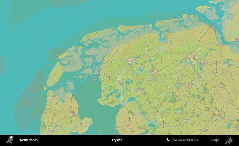
Free with trial Fryslan. Administrative area of Netherlands on a Topographic Humanitarian style map. Urk map illustrations Fryslan, Netherlands. Topographic Humanitarian. Fryslan. Administrative area of Netherlands on a Topographic Humanitarian style map
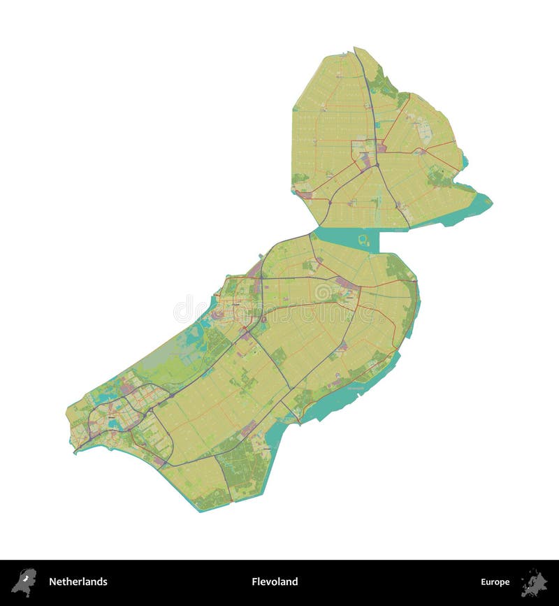
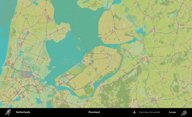
Free with trial Flevoland. Administrative area of Netherlands on a Topographic Humanitarian style map. Urk map illustrations Flevoland, Netherlands. Topographic Humanitarian. Flevoland. Administrative area of Netherlands on a Topographic Humanitarian style map
Free with trial Fryslan. Administrative area of Netherlands isolated on white on a Topographic Humanitarian style map. Urk map illustrations Fryslan, Netherlands, isolated on white. Topographic Humanitarian. Fryslan. Administrative area of Netherlands isolated on white on a Topographic Humanitarian style map
Free with trial Detailed hand-drawn navigational urban street roads map of the Dutch city of URK, NETHERLANDS with solid road lines and name tag on vintage background. Urk map vectors Street roads map of URK, NETHERLANDS. Detailed hand-drawn navigational urban street roads map of the Dutch city of URK, NETHERLANDS with solid road lines and name tag on vintage background