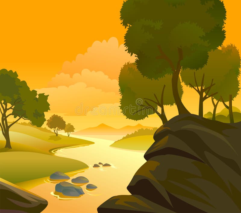
Free with trial A beautiful River , hills and rocks Landscape with tall trees. Western environment vectors River , hills and rocks Landscape
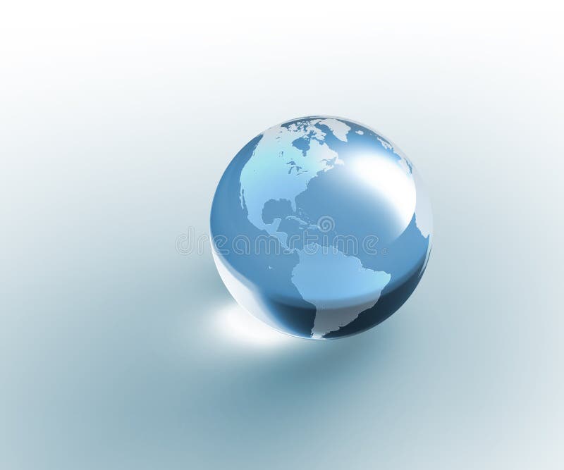
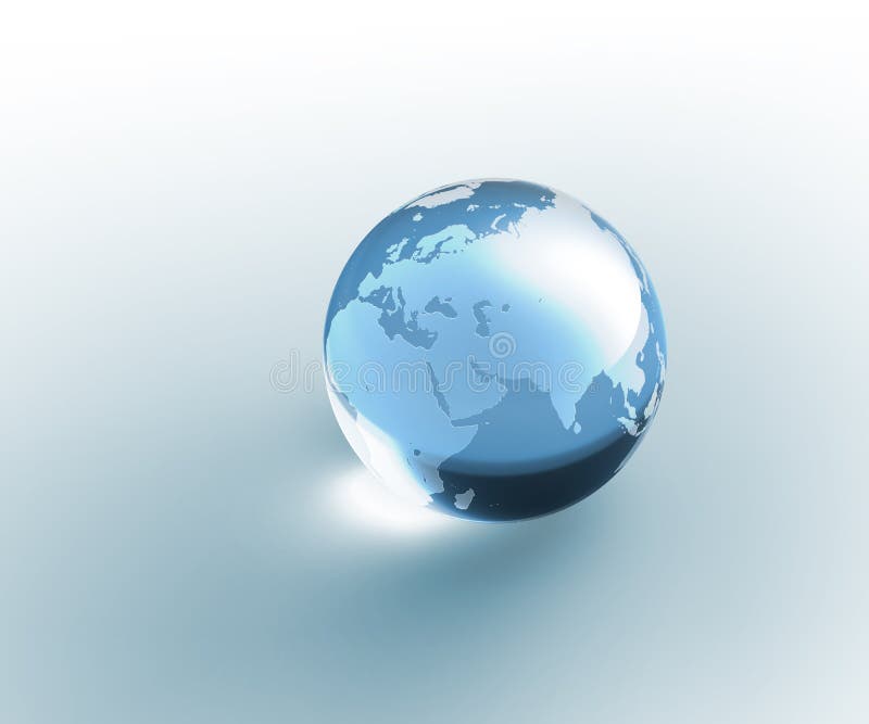
Free with trial Isolated blue (aquamarine) colored crystal glass globe with sandblasted world map. Photorealistic 3D rendering. Please look for the same series for another countries. Western environment illustrations Solid glass globe Earth transparent. Isolated blue (aquamarine) colored crystal glass globe with sandblasted world map. Photorealistic 3D rendering. Please look for the same series for another countries.
Free with trial Western town rustic general store. 3d rendering. Western environment illustrations Western town rustic general store.
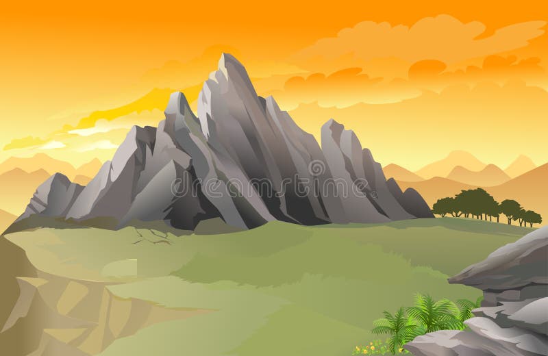
Free with trial Magnificent western rocky mountain panorama with golden sky. Western environment vectors Magnificent western rocky mountain panorama
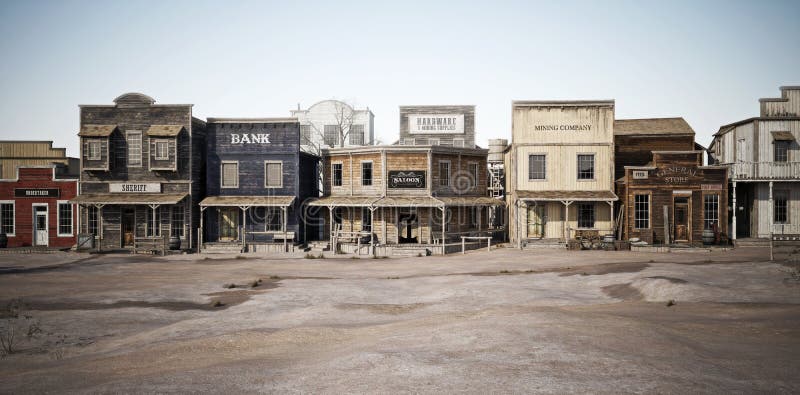
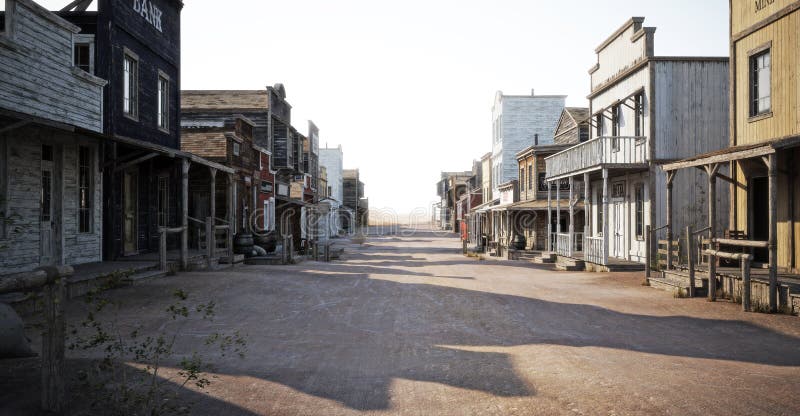
Free with trial Wide side view of a rustic antique Western town with various businesses. 3d rendering. Western environment illustrations Wide side view of a rustic antique Western town with various businesses.
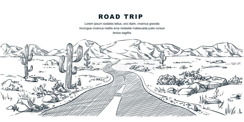
Free with trial Desert and mountains road landscape. Vector vintage sketch illustration. Nature environment calm scene. Outdoor adventures and travel hand drawn background. Western environment vectors Desert and mountains road landscape. Vector sketch illustration. Nature environment and travel hand drawn background. Desert and mountains road landscape. Vector vintage sketch illustration. Nature environment calm scene. Outdoor adventures and travel hand drawn background
Free with trial Earth emanating an aura of energy fields, eclipse, Western Hemisphere. Western environment illustrations Energy Aura Eclipse Earth West. Earth emanating an aura of energy fields, eclipse, Western Hemisphere.
Free with trial Isolated blue (aquamarine) colored crystal glass globe with sandblasted world map. Photorealistic 3D rendering. Please look for the same series for another countries. Western environment illustrations Solid glass globe Earth transparent. Isolated blue (aquamarine) colored crystal glass globe with sandblasted world map. Photorealistic 3D rendering. Please look for the same series for another countries.
Free with trial Earth with matte gold and sandblasted textures. Accurate coordinates (latitude and longitude) and coastline. Western environment illustrations Planet Globe Earth 3D isolated. Earth with matte gold and sandblasted textures. Accurate coordinates (latitude and longitude) and coastline.
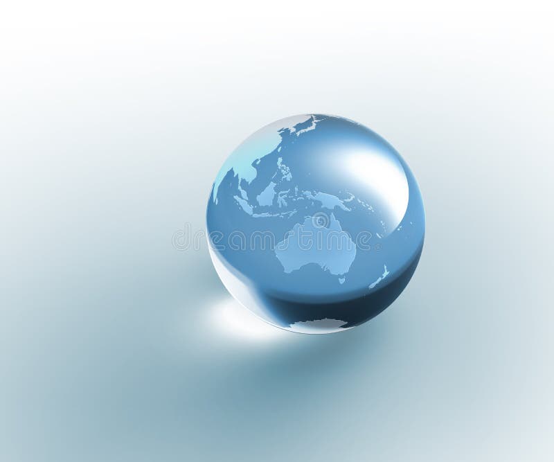
Free with trial Six blue (aquamarine) colored globe Earth illustrations with different views and countries. Western environment illustrations Planet Globe Earth map isolated. Six blue (aquamarine) colored globe Earth illustrations with different views and countries.
Free with trial Isolated blue (aquamarine) colored crystal glass globe with sandblasted world map. Photorealistic 3D rendering. Please look for the same series for another countries. Western environment illustrations Solid glass globe Earth transparent. Isolated blue (aquamarine) colored crystal glass globe with sandblasted world map. Photorealistic 3D rendering. Please look for the same series for another countries.
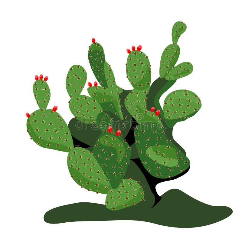
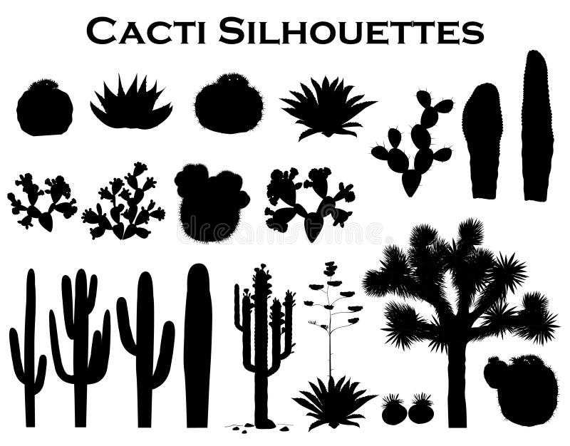
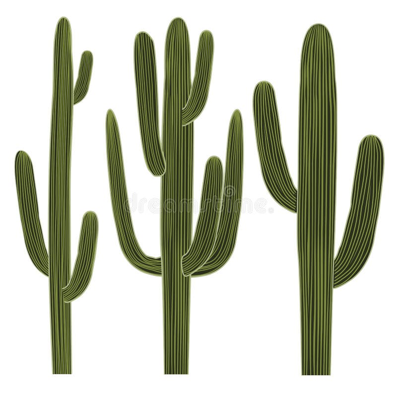
Free with trial Cactus Silhouettes from white background. Western environment vectors Cactus Silhouettes
Free with trial Cactus vector icon set on a white background. Dark silhouettes of desert or wild cactus. Collection of cactuses mainly Mexico and the Arizona desert. Western environment vectors Cactus vector icon set
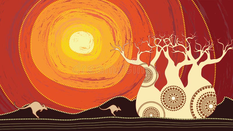
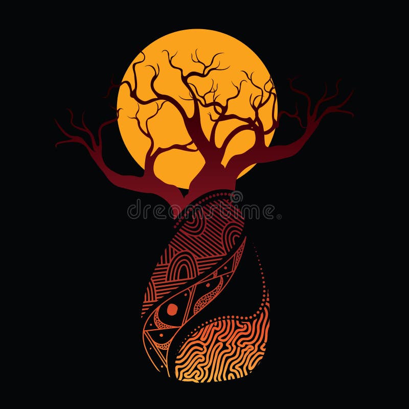
Free with trial Boab Baobab Tree Vector Painting. Aboriginal dot art vector background. Western environment vectors Boab Baobab Tree Vector Painting. Aboriginal art vector background.
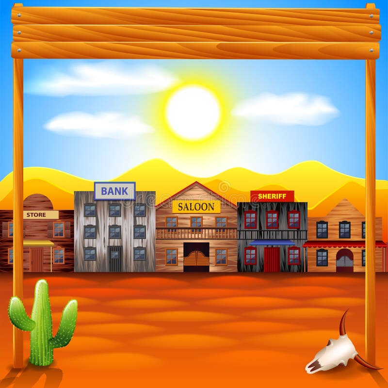
Free with trial Wild west town photo realistic vector background. Western environment vectors Wild west town vector background. Wild west town photo realistic vector background
Free with trial Big set with silhouettes of cacti, agaves, joshua tree, and prickly pear. Vector cactus collection, black and white design elements. Western environment vectors Big collection of black silhouettes of cacti, agaves, joshua tree, and prickly pear. Big set with silhouettes of cacti, agaves, joshua tree, and prickly pear. Vector cactus collection, black and white design elements
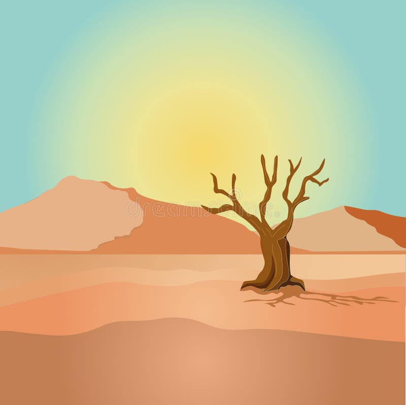
Free with trial Illustration of a view of a desert with dried tree and mountainsn. Western environment vectors Scene with dried tree in desert field illustration. Illustration of a view of a desert with dried tree and mountainsn
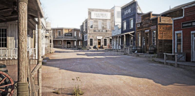
Free with trial Western town road with various businesses and Depth of field. 3d rendering. Western environment illustrations Western town road with various businesses and Depth of field .
Free with trial Western town rustic Hardware and mining supply store. 3d rendering. Part of a Western town series. Western environment illustrations Western town rustic Hardware and mining supply store.
Free with trial Western town rustic bank. 3d rendering. Western environment illustrations Western town rustic bank.
Free with trial Western town rustic hotel. 3d rendering. Western environment illustrations Western town rustic hotel.
Free with trial Western town rustic gunsmith weapons and ammunition`s supply store. 3d rendering. Part of a Western town series. Western environment illustrations Western town rustic gunsmith weapons and ammunition`s supply store.
Free with trial Western town with various businesses. 3d rendering. Western environment illustrations Western town with various businesses .
Free with trial Occupied western town with various businesses. 3d rendering. Western environment illustrations Occupied western town with various businesses .
Free with trial Western town with old wooden buildings. Wild west landscape for game gui. Vector cartoon illustration of wild west city street with catholic church, saloon, sheriff office, bank, hotel and store. Western environment vectors Vector western town with old wooden buildings. Western town with old wooden buildings. Wild west landscape for game gui. Vector cartoon illustration of wild west city street with catholic church, saloon, sheriff office, bank, hotel and store
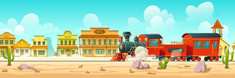
Free with trial Steam train in western town. Wild west desert landscape with cactuses, railroad and old wooden buildings. Vector cartoon illustration of wild west city and vintage locomotive. Western environment vectors Vector western town street and steam train. Steam train in western town. Wild west desert landscape with cactuses, railroad and old wooden buildings. Vector cartoon illustration of wild west city and vintage locomotive
Free with trial Western town with old wooden buildings. Wild west desert landscape with cactuses. Vector cartoon illustration of wild west city street with catholic church, saloon, sheriff office, bank and hotel. Western environment vectors Vector western town street with wooden buildings. Western town with old wooden buildings. Wild west desert landscape with cactuses. Vector cartoon illustration of wild west city street with catholic church, saloon, sheriff office, bank and hotel
Free with trial A western wagon with two horses and a mule, into the desert of Monument Valley, Utah. Grunge gives to the image a nostalgic aspect. Western environment illustrations Wagon in the desert on grunge. A western wagon with two horses and a mule, into the desert of Monument Valley, Utah. Grunge gives to the image a nostalgic aspect.
Free with trial Western Hemisphere of a blue Planet Earth shines in center stage in the spotlight on a sky universe with stars. Western environment vectors Planet Earth on sky stage in the spotlight. Western Hemisphere of a blue Planet Earth shines in center stage in the spotlight on a sky universe with stars.
Free with trial View from the Mariana Trench, the deepest depths in the Western Pacific, 3d render illustration. Western environment illustrations Mariana Trench - The Deepest Depths. View from the Mariana Trench, the deepest depths in the Western Pacific, 3d render illustration
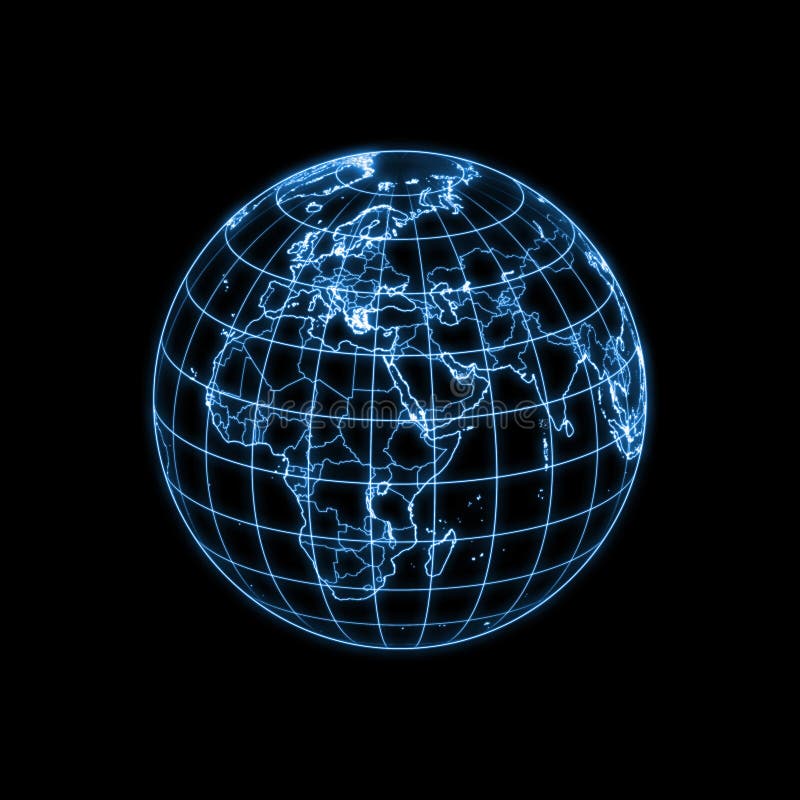
Free with trial Accurate illustration of the world with lighting contour of countries, political boundaries (dimmer) and geographic coordinates. Other countries are available. Western environment illustrations Globe Earth glowing light map outline. Accurate illustration of the world with lighting contour of countries, political boundaries (dimmer) and geographic coordinates. Other countries are available.
Free with trial Accurate illustration of the world with lighting contour of countries, political boundaries (dimmer) and geographic coordinates. Other countries are available. Western environment illustrations Globe Earth glowing light map outline. Accurate illustration of the world with lighting contour of countries, political boundaries (dimmer) and geographic coordinates. Other countries are available.
Free with trial Accurate illustration of the world with lighting contour of countries, political boundaries (dimmer) and geographic coordinates. Other countries are available. Western environment illustrations Globe Earth glowing light map outline. Accurate illustration of the world with lighting contour of countries, political boundaries (dimmer) and geographic coordinates. Other countries are available.
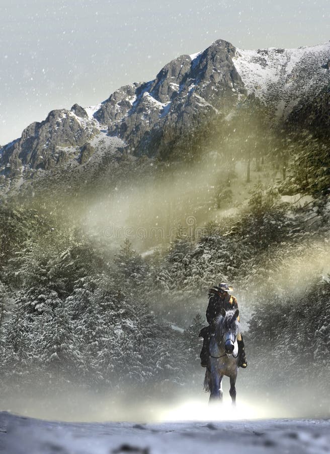
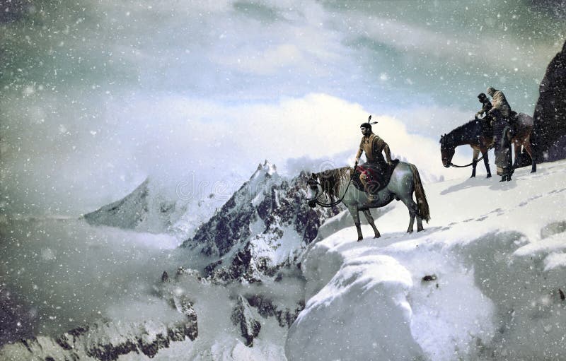
Free with trial Cowboy and his horse into a snowy and windy landscape of forests and mountains. Western environment illustrations Cowboy into snowy landscape. Cowboy and his horse into a snowy and windy landscape of forests and mountains.
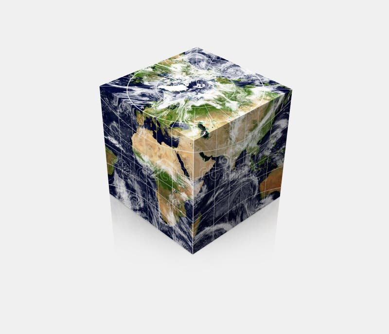
Free with trial Rendering of the cubic globe Earth with realistic map and related geographic coordinates. Featuring north pole (top) and countries around 45E (at the front vertical edge). Western environment illustrations Cubic Planet globe Earth cube. Rendering of the cubic globe Earth with realistic map and related geographic coordinates. Featuring north pole (top) and countries around 45E (at the front vertical edge)
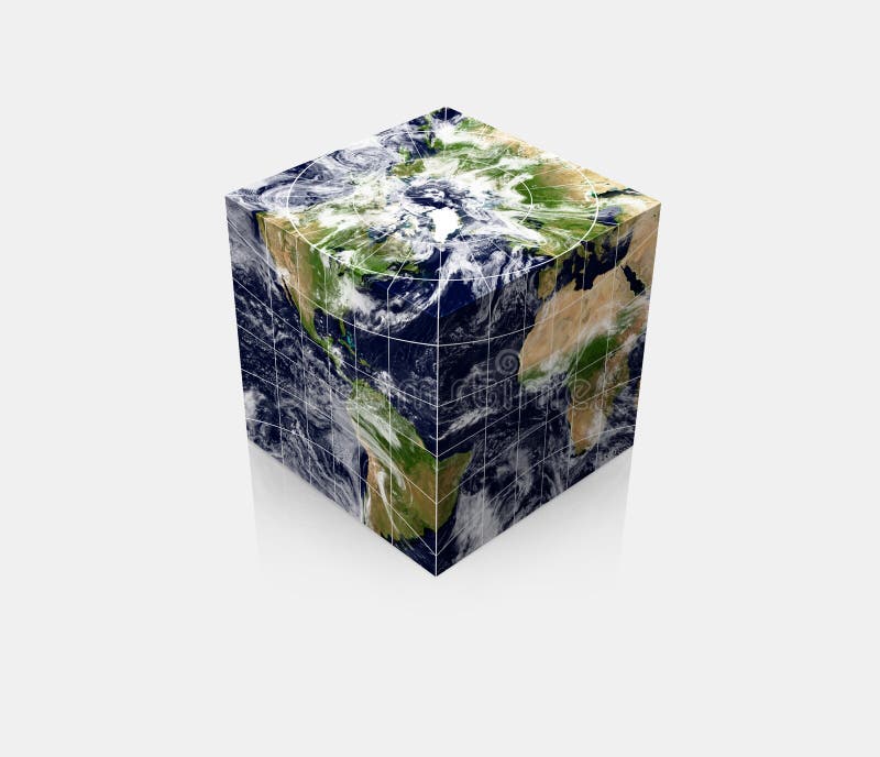
Free with trial Rendering of the world map with a continuous 3D texture mapping onto a cube. Please look for the same series for another countries. Western environment illustrations Cubic globe Earth cube square. Rendering of the world map with a continuous 3D texture mapping onto a cube. Please look for the same series for another countries.
Free with trial Rendering of the world map with a continuous 3D texture mapping onto a cube. Please look for the same series for another countries. Western environment illustrations Cubic globe Earth cube square. Rendering of the world map with a continuous 3D texture mapping onto a cube. Please look for the same series for another countries.
Free with trial Rendering of the cubic globe Earth with realistic map and related geographic coordinates. Featuring north pole (top) and countries around 45W (at the front vertical edge). Western environment illustrations Cubic Planet globe Earth cube. Rendering of the cubic globe Earth with realistic map and related geographic coordinates. Featuring north pole (top) and countries around 45W (at the front vertical edge)
Free with trial Earth with matte gold and sandblasted textures. Accurate coordinates (latitude and longitude) and coastline. Western environment illustrations Planet Globe Earth 3D isolated. Earth with matte gold and sandblasted textures. Accurate coordinates (latitude and longitude) and coastline.
Free with trial Earth with matte gold and sandblasted textures. Accurate coordinates (latitude and longitude) and coastline. Western environment illustrations Planet Globe Earth 3D isolated. Earth with matte gold and sandblasted textures. Accurate coordinates (latitude and longitude) and coastline.
Free with trial Two native americans on their horses, in Monument Valley, approaching a herd of buffalo with arcs and spears. The image can be croped vertically, including the two native american and three buffalo. Western environment illustrations Native american hunting buffalo. Two native americans on their horses, in Monument Valley, approaching a herd of buffalo with arcs and spears. The image can be croped vertically, including the two native american and three buffalo.
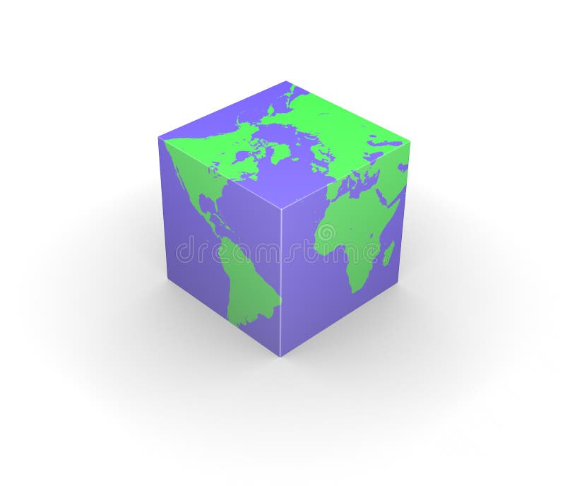
Free with trial Six green colored isolated globe Earth illustrations with different views and countries. Western environment illustrations Planet Globe Earth map isolated. Six green colored isolated globe Earth illustrations with different views and countries.
Free with trial A blue (aquamarine) colored crystal glass globe with sandblasted world map. Photorealistic 3D rendering. Please look for the same series for another countries. Western environment illustrations Solid glass globe Earth transparent. A blue (aquamarine) colored crystal glass globe with sandblasted world map. Photorealistic 3D rendering. Please look for the same series for another countries.
Free with trial Illustration of four isolated planet Earth with accurate geographical coordinates viewing at different angles. Western environment illustrations Globe Earth 3D planet realistic map. Illustration of four isolated planet Earth with accurate geographical coordinates viewing at different angles.
Free with trial Isolated blue (aquamarine) colored crystal glass globe with sandblasted world map. Photorealistic 3D rendering. Please look for the same series for another countries. Western environment illustrations Solid glass globe Earth transparent. Isolated blue (aquamarine) colored crystal glass globe with sandblasted world map. Photorealistic 3D rendering. Please look for the same series for another countries.
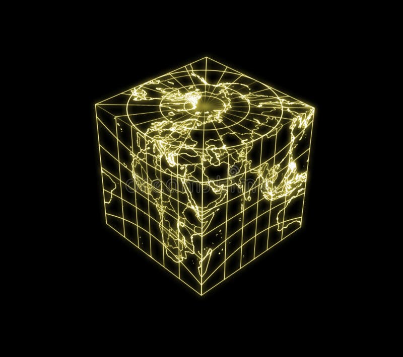
Free with trial An illustration of cubic globe Earth with glowing contour of countries, political boundaries and geographic coordinates. Please look for the same series for another countries. Featuring north pole (top) and countries around 45E (at the front vertical edge). Western environment illustrations Globe Earth cubic light map outline. An illustration of cubic globe Earth with glowing contour of countries, political boundaries and geographic coordinates. Please look for the same series for another countries. Featuring north pole (top) and countries around 45E (at the front vertical edge)
Free with trial Isolated crystal sphere with global country map and geographic coordinates (latitude and longitude). Western environment illustrations Globe Earth transparent glass planet. Isolated crystal sphere with global country map and geographic coordinates (latitude and longitude).
Free with trial Isolated crystal sphere with global country map and geographic coordinates (latitude and longitude). Western environment illustrations Globe Earth transparent glass planet. Isolated crystal sphere with global country map and geographic coordinates (latitude and longitude).
Free with trial Several native americans, A man and his horse, and a woman close to a child and an old man on a mule, into a snowy and windy landscape. Western environment illustrations Native american into snowy landscape. Several native americans, A man and his horse, and a woman close to a child and an old man on a mule, into a snowy and windy landscape.
Free with trial Prickly Pear Cactus is hand drawn original artwork. The vector file is in AI-EPS8 format. Western environment vectors Prickly Pear Cactus
Free with trial Isolated earth with burning light flares. Magma ocean. Global warming, nuclear disaster, hell or doomsday. Western environment illustrations Globe Earth hot climate light halo flare. Isolated earth with burning light flares. Magma ocean. Global warming, nuclear disaster, hell or doomsday.
Free with trial Isolated earth with burning light flares. Magma ocean. Global warming, nuclear disaster, hell or doomsday. Western environment illustrations Globe Earth hot climate light halo flare. Isolated earth with burning light flares. Magma ocean. Global warming, nuclear disaster, hell or doomsday.
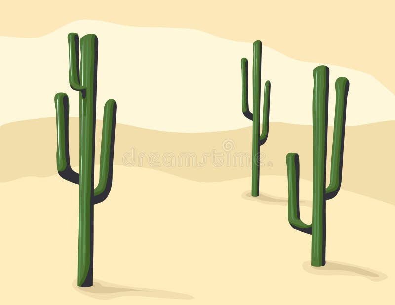
Free with trial Isolated Saguaro Cactus is hand drawn original artwork in AI-EPS8 format. Western environment vectors Isolated Saguaro Cactus
Free with trial A beautiful River , hills and rocks Landscape with golden sun rays at sunrise. Western environment vectors River , hills and rocks Landscape
Free with trial Cow drove in meadow landscape. Western environment vectors Cows. Cow drove in meadow landscape
Free with trial Red Rock is hand drawn original artwork. The vector file is in AI-EPS8 format. Western environment vectors Red Rock
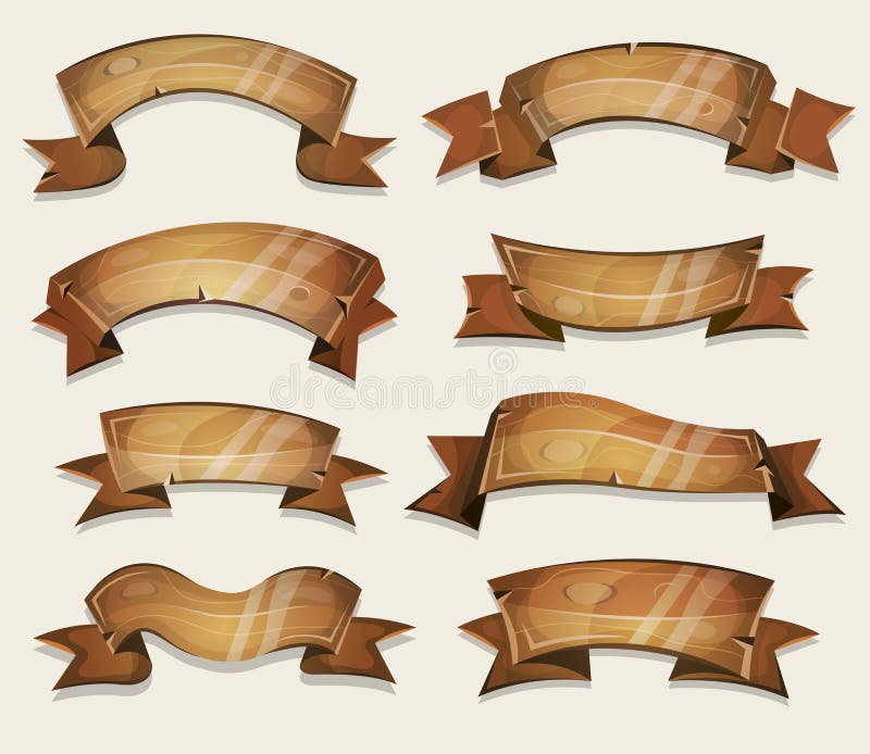
Free with trial Illustration of a set of cartoon funny spring wooden circus award ribbon and banners, for agriculture, texas ranch and farm seal and certificates, or ui games. Western environment vectors Cartoon Wood Banners And Ribbons For Ui Game. Illustration of a set of cartoon funny spring wooden circus award ribbon and banners, for agriculture, texas ranch and farm seal and certificates, or ui games
Free with trial Saguaro Cactus is hand drawn original artwork in AI-EPS8 format. Western environment vectors Saguaro Cactus
Free with trial Earth with matte gold and sandblasted textures. Accurate coordinates (latitude and longitude) and coastline. Western environment illustrations Planet Globe Earth 3D isolated. Earth with matte gold and sandblasted textures. Accurate coordinates (latitude and longitude) and coastline.
Free with trial A beautiful River , hills and rocks Landscape with golden sun rays at dusk. Western environment vectors River , hills and rocks Landscape
Free with trial Boab Baobab Tree Vector Painting. Aboriginal dot art vector background. Western environment vectors Boab Baobab Tree Vector Painting.
Free with trial A beautiful River , fall , hills and rocks Landscape with vast blue sky. Western environment vectors River , fall , hills and rocks Landscape
Free with trial Wild west town panorama photo realistic vector background. Western environment vectors Wild west town panorama vector background. Wild west town panorama photo realistic vector background
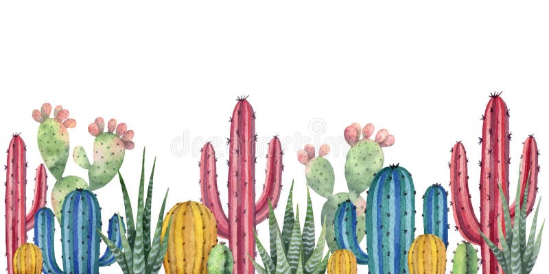
Free with trial Watercolor vector horizontal background of landscape with desert and cacti. High quality illustration for travel and tourism. Western environment vectors Watercolor vector background with desert and cacti. Watercolor vector horizontal background of landscape with desert and cacti. High quality illustration for travel and tourism.
Free with trial Boab Baobab Tree Vector Painting. Aboriginal dot art vector background. Western environment vectors Boab Baobab Tree Vector Painting. Aboriginal art vector background.
Free with trial Black silhouettes of cacti, agave, joshua tree, and prickly pear. Vector collection. Western environment vectors Black silhouettes of cactuses, agave, joshua tree, and prickly pear. Vector illustration. Black silhouettes of cacti, agave, joshua tree, and prickly pear. Vector collection
Free with trial Saguaro Cactus Set. Vector illustration. Western environment vectors Saguaro Cactus Set
Free with trial Black silhouettes of different cactus,. Western environment illustrations Silhouettes of cactus. Black silhouettes of different cactus,
Free with trial Wild cactus. Desert Arizona moonchild. Vintage concept. Mexico culture. Harmony and zen. Crescent moon magic symbols. Vector illustration. Western environment illustrations Wild cactus. Desert Arizona moonchild. Vintage concept. Mexico culture. Harmony and zen. Crescent moon magic. Vector illustration
Free with trial Vector illustration of an old western town horizontal tillable background. Western environment vectors Old western town tillable. Vector illustration of an old western town horizontal tillable background.
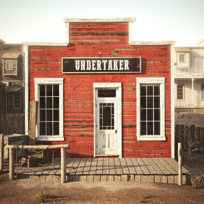
Free with trial Western town rustic undertaker. 3d rendering. Part of a Western town series. Western environment illustrations Western town rustic undertaker.
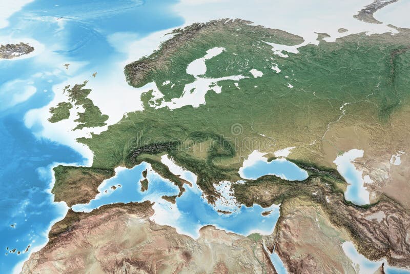
Free with trial Physical map of Western Europe, with high resolution details. Flattened satellite view of Planet Earth, its geography and topography. 3D illustration - Elements of this image furnished by NASA. Western environment illustrations High resolution detailed map of Western Europe. Physical map of Western Europe, with high resolution details. Flattened satellite view of Planet Earth, its. Physical map of Western Europe, with high resolution details. Flattened satellite view of Planet Earth, its geography and topography. 3D illustration - Elements of this image furnished by NASA
Free with trial Rustic western antique town trading post with various groceries and goods. 3d rendering. Part of a western town series. Western environment illustrations Rustic western antique town trading post with various groceries and goods. Part of a western town series
Free with trial Western background. Dessert silhouettes and cowboys on horses wildlife vector illustrations. People with gun in sand desert. Western environment vectors Western background. Dessert silhouettes and cowboys on horses wildlife vector illustrations
Free with trial A western wagon with two horses and a mule, into a cold snowy landscape. Western environment illustrations Wagon under the snow. A western wagon with two horses and a mule, into a cold snowy landscape.
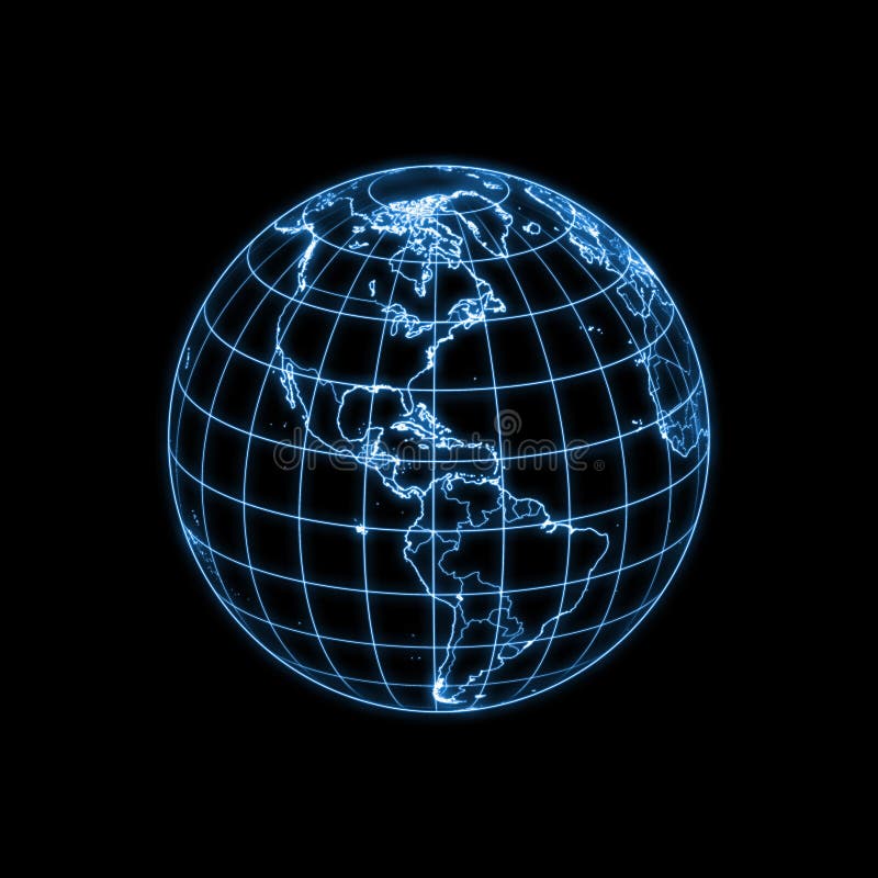
Free with trial Cartoon world globe giving thumbs up. (Western Hemisphere). Western environment vectors World globe character. Cartoon world globe giving thumbs up. (Western Hemisphere)
Free with trial 3d rendering of a grass earth - western central pacific. Western environment illustrations Grass earth - western central pacific
Free with trial South Western USA Desert Water Landscape Painting. Western environment illustrations Desert Water Landscape Painting