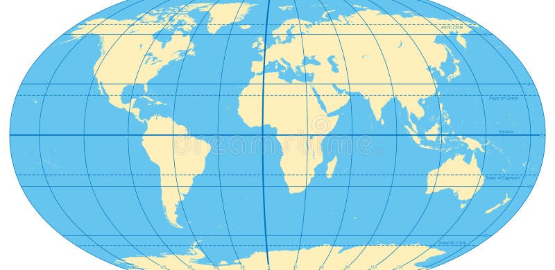
Free with trial World map with most important circles of latitudes and longitudes, showing Equator, Greenwich meridian, Arctic and Antarctic Circle, Tropic of Cancer and Capricorn. English. Illustration. Vector. World map antarctic vectors World map with most important circles of latitudes and longitudes
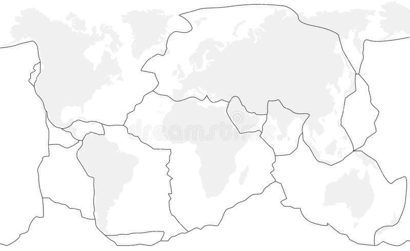
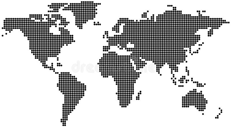
Free with trial Dotted World Map - background illustration in vector format. World map antarctic vectors Dotted World Map
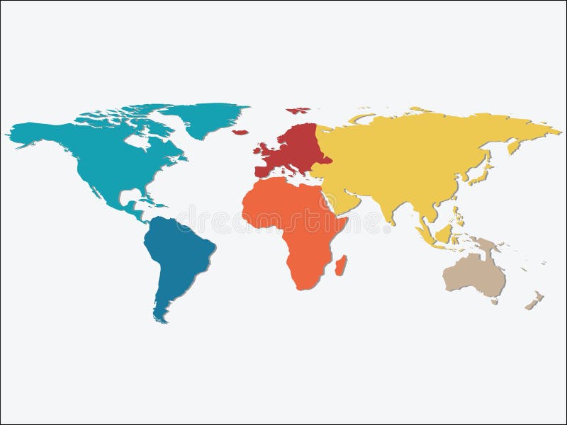
Free with trial World map Illustration, world map showing the 7 continents. World map antarctic vectors World map
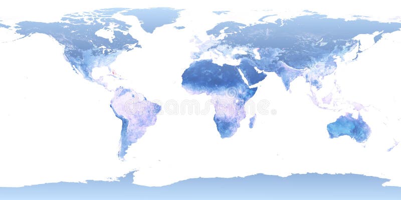
Free with trial Computer generated map with white background (derived from NASA world map). World map antarctic vectors Cyan map of the world. Computer generated map with white background (derived from NASA world map)
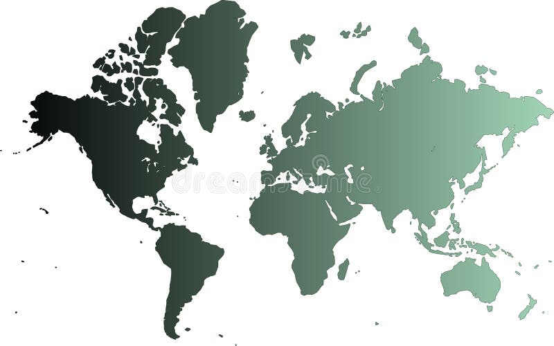
Free with trial Detailed map of the world vector. World map antarctic vectors Map of the world vector
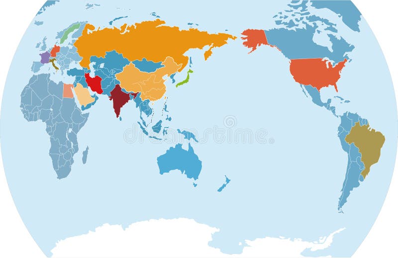
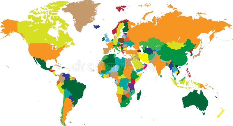
Free with trial World map with countries in vector format. World map antarctic vectors World map countries in vectors. World map with countries in vector format
Free with trial Dotted World Map - background illustration,. World map antarctic vectors Dotted World Map
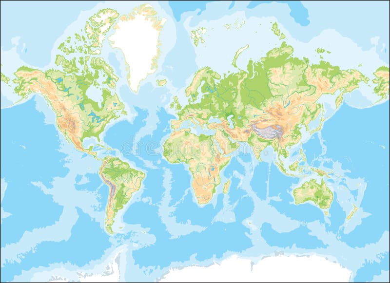
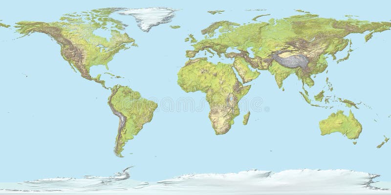
Free with trial Physical relief - raised map of the World. Topographic elevation map of Earth. Nice for education or travel industries. World map antarctic illustrations World map both hemispheres on one sheet. Physical relief - raised map of the World. Topographic elevation map of Earth. Nice for education or travel industries.
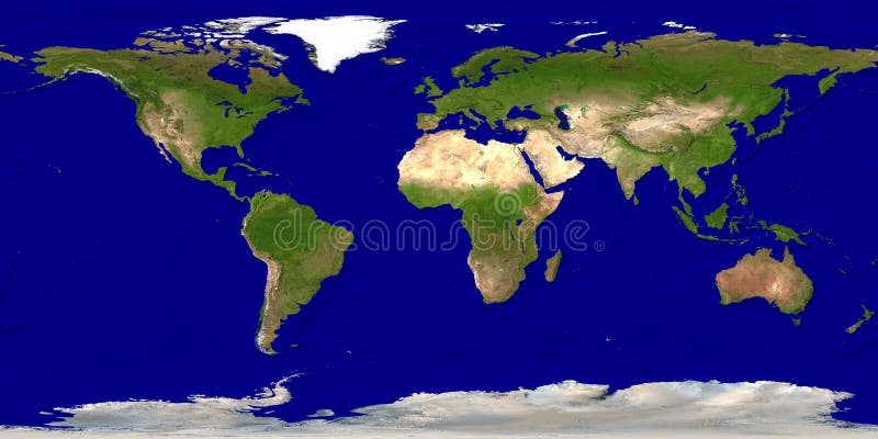
Free with trial World map illustration (derived from NASA world map). World map antarctic illustrations World map
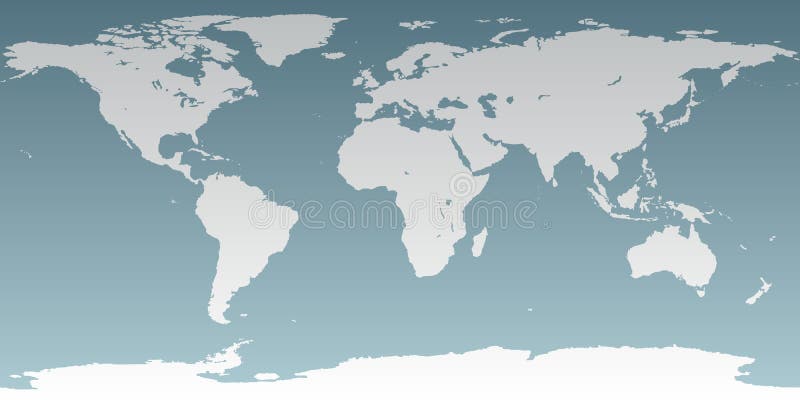
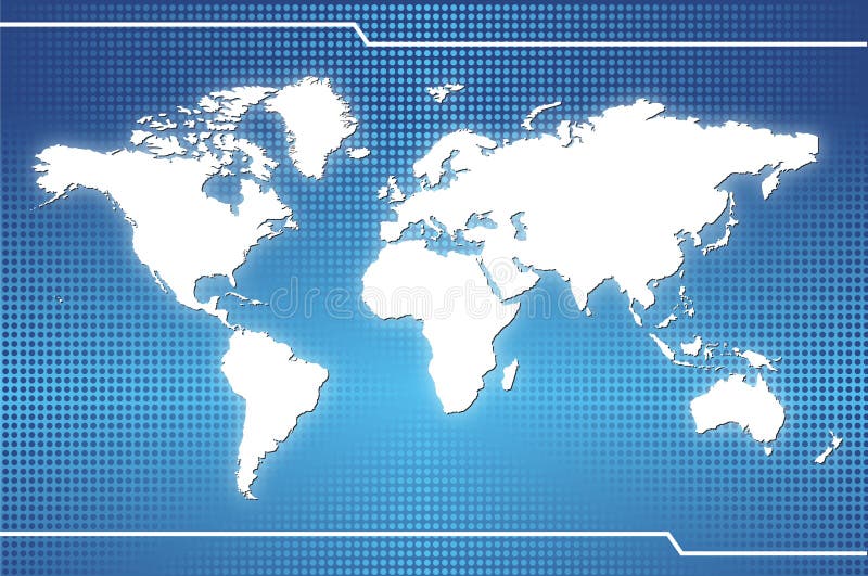
Free with trial [America , Europe, Asia, Africa ]Stylish white world map with Blue background. World map antarctic illustrations World Map
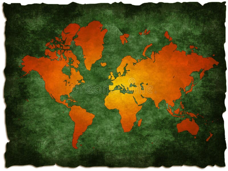
Free with trial Grunge old world map illustration: computer generated (map derived from NASA world map). World map antarctic illustrations Green old world map. Grunge old world map illustration: computer generated (map derived from NASA world map)
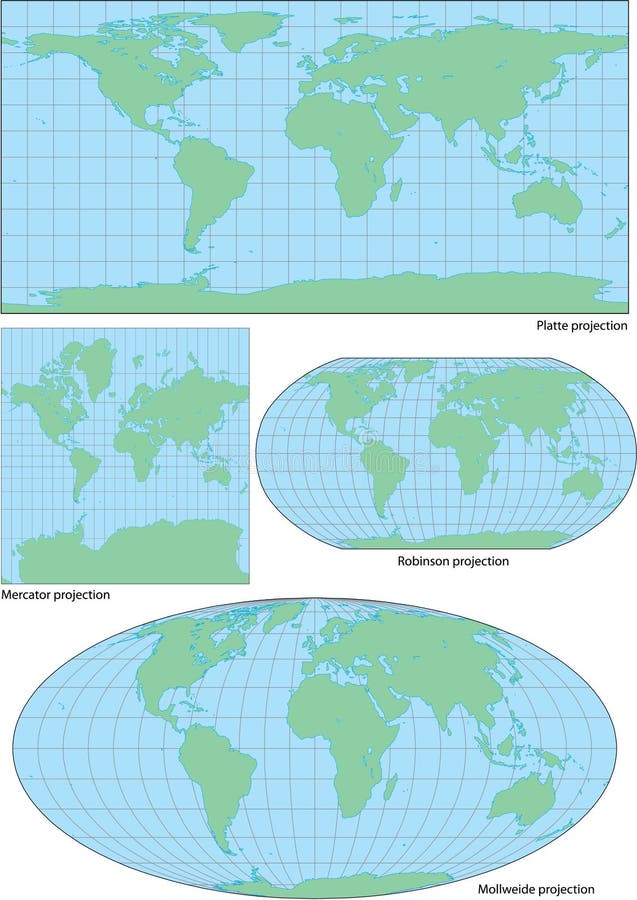
Free with trial Vector world contour map in four projections: plate, Mercator, Robinson and Mollweide. World map antarctic vectors Vector world contour map in four projections
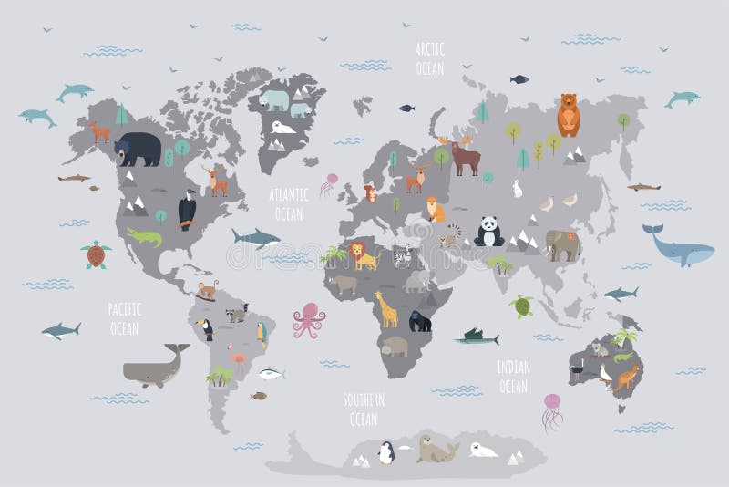
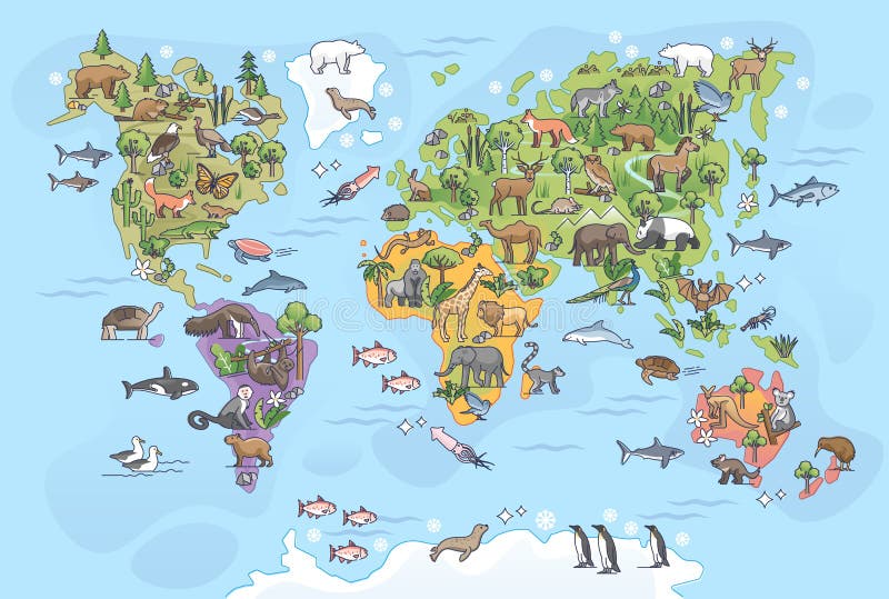
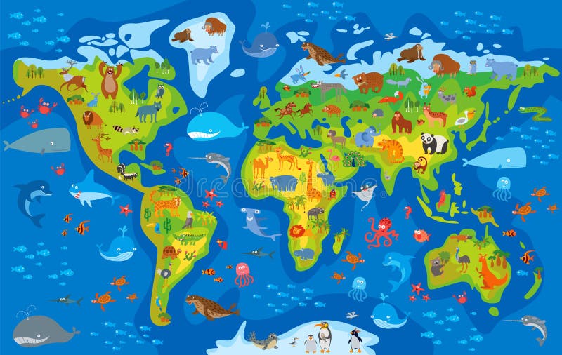
Free with trial World map with wild animals living on various continents and in oceans. Cute cartoon mammals, reptiles, birds, fish inhabiting planet. Flat colorful vector illustration for educational poster, banner. World map antarctic vectors World map with wild animals living on various continents and in oceans.
Free with trial Animal world. Funny cartoon map. Colored illustration. World map antarctic vectors Animal world. Funny cartoon map
Free with trial Vector high detailed map of the world. World map antarctic vectors High detailed map of the world
Free with trial Geological global earth map in colors. World map antarctic illustrations Map of the world. Geological global earth map in colors
Free with trial 19th Century Map of the Antarctic Region showing the exploration routes and base camps. World map antarctic illustrations 1875 Antique Map of Antarctica. 19th Century Map of the Antarctic Region showing the exploration routes and base camps
Free with trial World Continents(Vector). Accurate map onto a globe. Includes Antarctica, Arctic, Atlantic. Details include small island chains, lakes and seas. World map antarctic vectors World Continents (Vector also). World Continents(Vector). Accurate map onto a globe. Includes Antarctica, Arctic, Atlantic. Details include small island chains, lakes and seas.
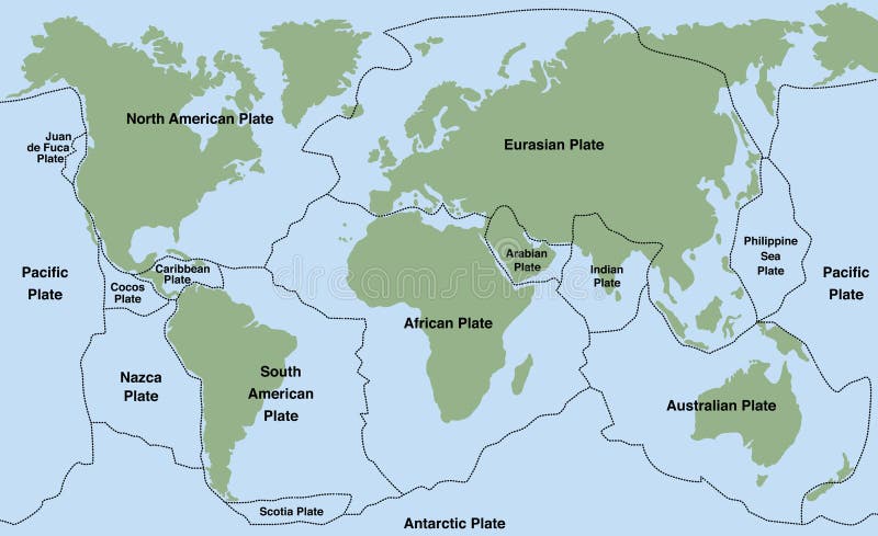
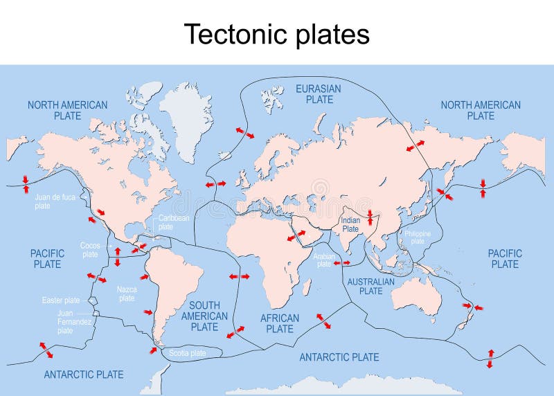
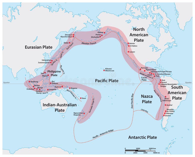
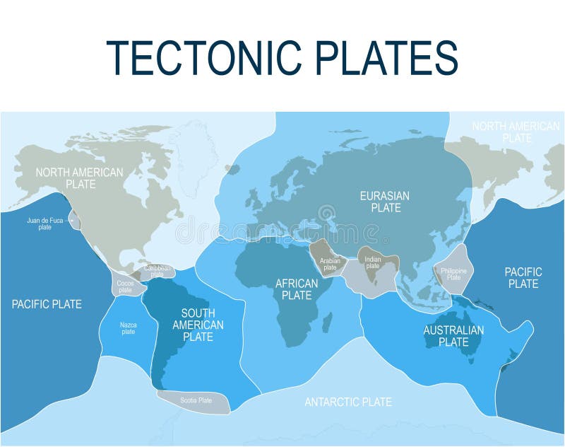
Free with trial Tectonic plates. World map with major an minor plates. Vector illustration. World map antarctic vectors Tectonic plates. map. Tectonic plates. World map with major an minor plates. Vector illustration.
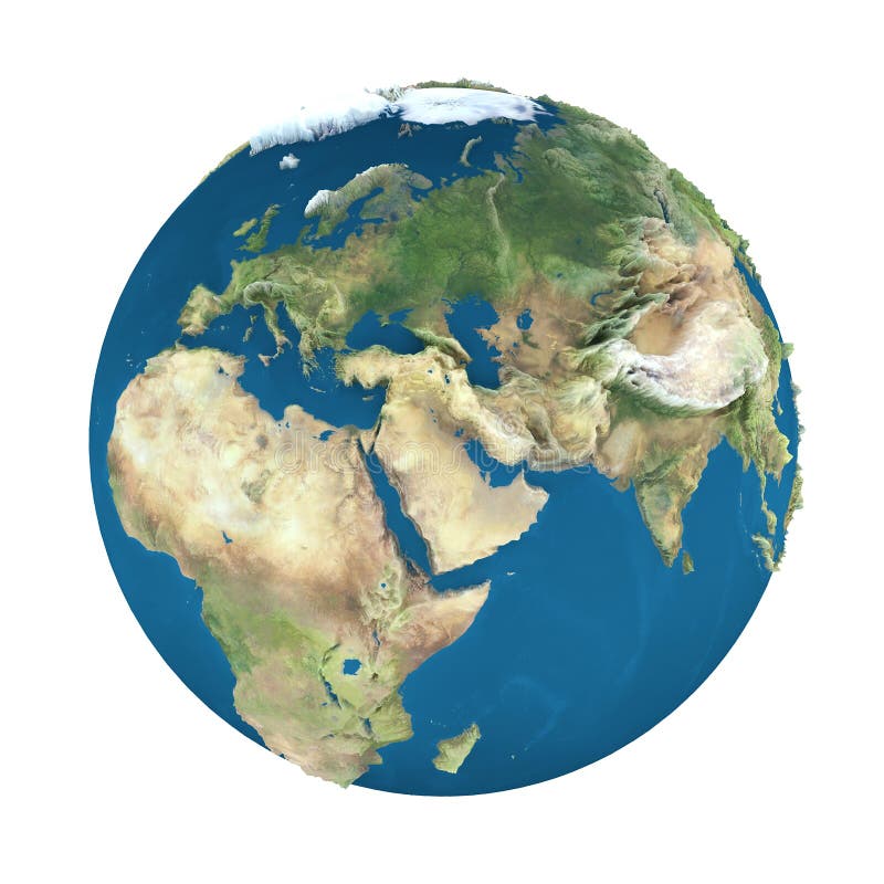
Free with trial Accurate map of the world. Includes Antarctica. Maps to a sphere to make a globe accurately to latitude and longitude. Also includes many islands - Hawaii, Aleutians, Galapagos, Maldives, Canary, etc. The largest lakes and seas included. Particular care taken to make the arctic and antarctic map correctly to a sphere. World map antarctic vectors Neutral World High Detail. Accurate map of the world. Includes Antarctica. Maps to a sphere to make a globe accurately to latitude and longitude. Also includes many islands - Hawaii, Aleutians, Galapagos, Maldives, Canary, etc. The largest lakes and seas included. Particular care taken to make the arctic and antarctic map correctly to a sphere.
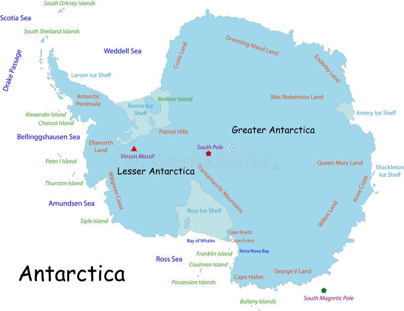
Free with trial Antarctica map designed in illustration with the names place. World map antarctic vectors Antarctica map
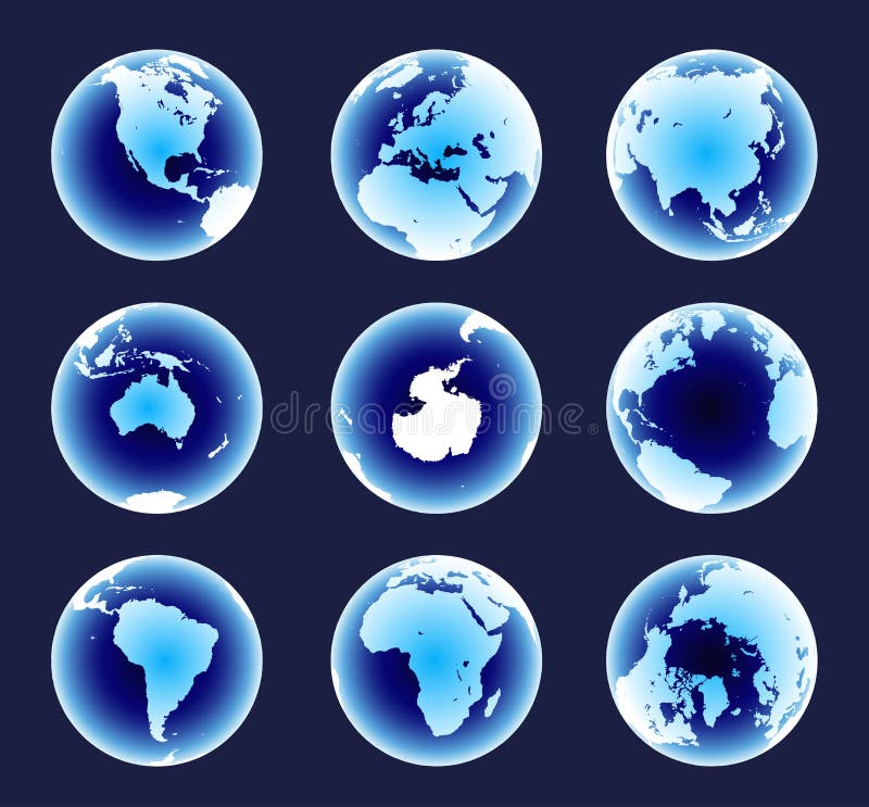
Free with trial World globe isolated in vectors North America. World map antarctic vectors World globe
Free with trial Plate tectonics - world map with major an minor plates. Vector illustration. World map antarctic vectors Plate Tectonics
Free with trial Illustration of children in the world. World map antarctic illustrations World of children. Illustration of children in the world
Free with trial High-quality Antique Map - Schagen. World map antarctic illustrations High-quality Antique Map
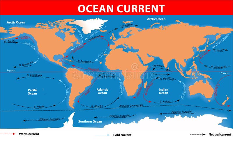
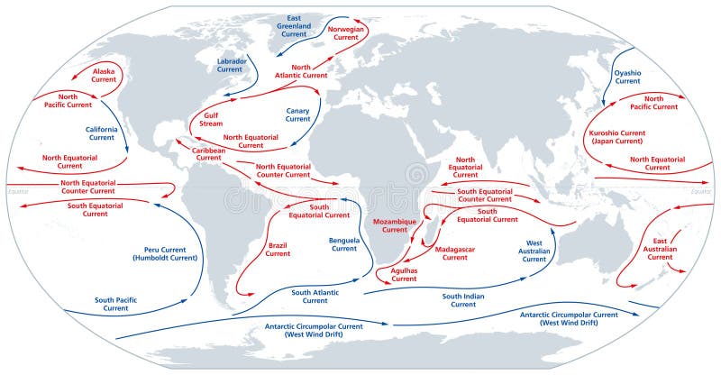
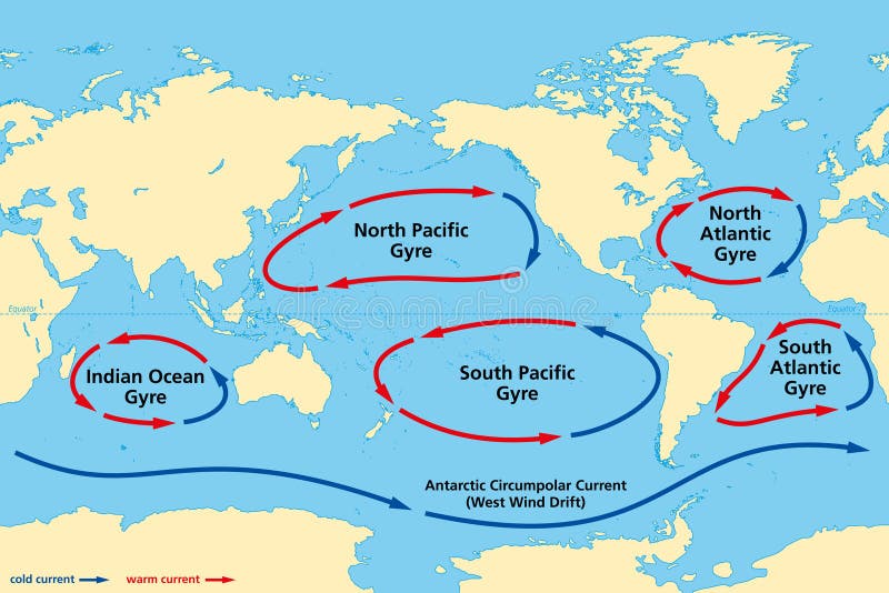
Free with trial The ocean currents. Vector map. World map antarctic vectors Ocean surface currents. The ocean currents. Vector map
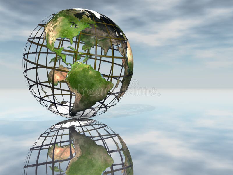
Free with trial Two people holding up a wire globe. World map antarctic vectors Holding the World. Two people holding up a wire globe
Free with trial Earth globe, isolated on white, with clipping path. World map antarctic illustrations Earth globe, isolated on white
Free with trial Earth globe, isolated on white, with clipping path. World map antarctic illustrations Earth globe, isolated on white
Free with trial Earth globe, isolated on white, with clipping path. World map antarctic illustrations Earth globe, isolated on white
Free with trial Earth globe, isolated on white, with clipping path. World map antarctic illustrations Earth globe, isolated on white
Free with trial Topographic map of the world with borders, 3D render, holiday, mountains, antarctic, nature, adventure,. World map antarctic illustrations Topographic map of the world with borders, 3D render
Free with trial Illustration of the world map on old, yellowed paper. World map antarctic vectors World map on old paper. Illustration of the world map on old, yellowed paper.
Free with trial World map of major ocean currents. Continuous,directed movement of seawater generated by forces acting upon the water,like wind,temperature,etc. Warm currents shown in red,cold currents in blue. World map antarctic vectors World map of major ocean currents, warm currents in red, cold currents in blue. World map of major ocean currents. Continuous,directed movement of seawater generated by forces acting upon the water,like wind,temperature,etc. Warm currents shown in red,cold currents in blue.
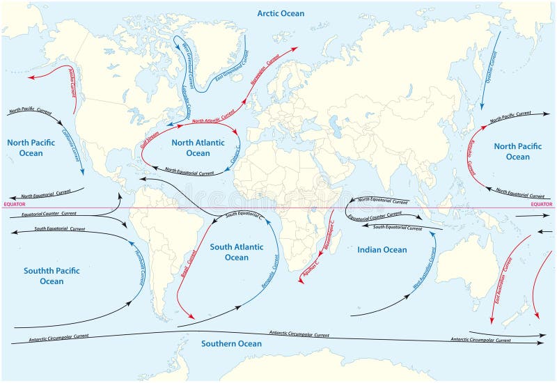
Free with trial Vector world map with major marine currents. World map antarctic illustrations World map with major marine currents
Free with trial World map with animals as all continents natural habitat outline concept. Biological and geographical distribution of mammals and fishes vector illustration. Eurasia, America and arctic living life. World map antarctic vectors World map with animals as all continents natural habitat outline concept
Free with trial World map in vintage background. World map antarctic illustrations World map in vintage pattern. World map in vintage background
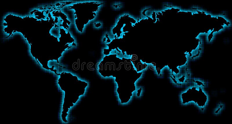
Free with trial Black world map with blue glow and wire background. World map antarctic illustrations World map black blue glow. Black world map with blue glow and wire background
Free with trial Drawing world map by a chalk on the classroom blackboard. World map antarctic vectors Drawing world map by a chalk
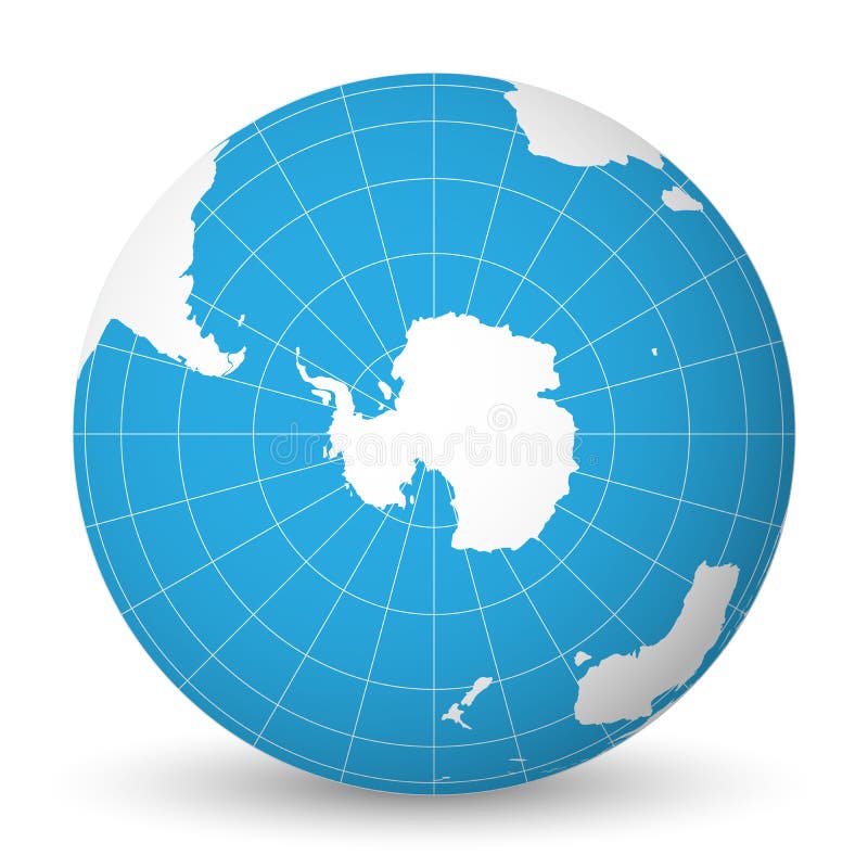
Free with trial Earth globe with green world map and blue seas and oceans focused on Antarctica with South Pole. With thin white meridians and parallels. 3D vector illustration. World map antarctic vectors Earth globe with white world map and blue seas and oceans focused on Antarctica with South Pole. With thin white. Earth globe with green world map and blue seas and oceans focused on Antarctica with South Pole. With thin white meridians and parallels. 3D vector illustration.
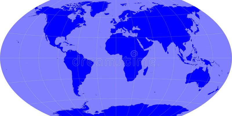
Free with trial Blue World Continents (Vector also) Accurate map on a globe. Includes Antarctica, Arctic, Atlantic. Details include small island chains, lakes and seas. World map antarctic vectors Blue World Continents
Free with trial Contour map of the world. Path of illustration was drawn by Pen Tool in Illustrator CS3. All continents are located in different layers. World map antarctic vectors Contour map
Free with trial Vector Antarctica map designed in illustration. World map antarctic vectors Map of Antarctica. Vector Antarctica map designed in illustration
Free with trial Animal world. Funny cartoon character. Vector illustration. World map antarctic vectors Animal world. Funny cartoon character
Free with trial Tectonic plates unlabeled - world map with fault lines of major an minor plates. World map antarctic vectors Tectonic Plates Unlabeled
Free with trial Earth map - winkle projection with grids. World map antarctic illustrations Earth map
Free with trial Tectonic plate earth map. Continental ocean pacific, volcano lithosphere geography plates. World map antarctic vectors Tectonic plate earth map. Continental ocean pacific, volcano lithosphere geography plates
Free with trial Map of Earth`s principal tectonic plates. Earth`s lithosphere. Major and minor plates. arrows indicate direction of movement at plate boundaries. Vector illustration. World map antarctic vectors Map of Earth`s principal tectonic plates
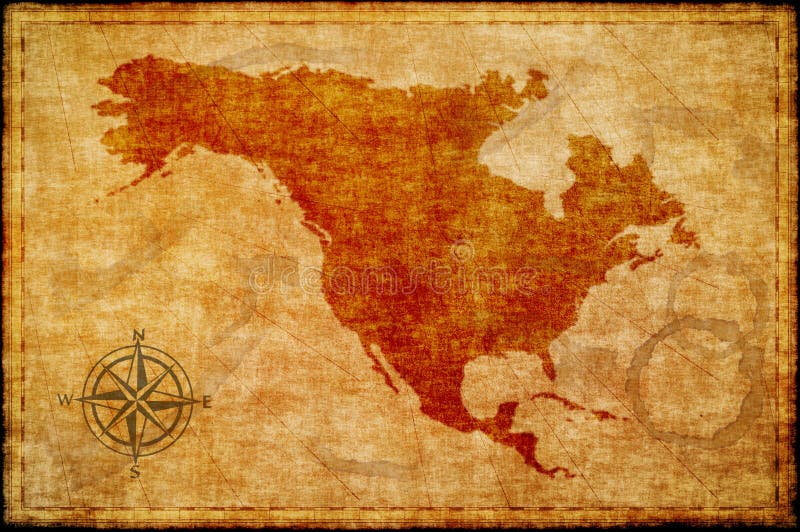
Free with trial Old north america map on parchment. World map antarctic illustrations Old north america map on parchment
Free with trial Vector map of the Pacific Ring of Fire with the main volcanoes. World map antarctic vectors Vector map of the Pacific Ring of Fire with the main volcanoes
Free with trial High Quality Antique Map Series. World map antarctic illustrations High-Quality Antique Map. High Quality Antique Map Series
Free with trial High Quality Antique Map Series. World map antarctic illustrations High-Quality Antique Map. High Quality Antique Map Series
Free with trial High-Quality Antique Map. Antique Maps Collection. World map antarctic illustrations High-Quality Antique Map
Free with trial High Quality Antique Map Series. World map antarctic illustrations High-Quality Antique Map. High Quality Antique Map Series
Free with trial High-Quality Antique Map. Antique Maps Collection. World map antarctic illustrations High-Quality Antique Map
Free with trial Vector map of Antarctica -southern earth continent. World map antarctic vectors Antarctica
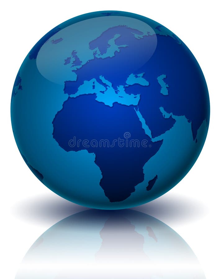
Free with trial Blue background with map of the globe on it. World map antarctic vectors Globe Background. Blue background with map of the globe on it.
Free with trial Tectonic plates of planet earth - map with names of major an minor plates. World map antarctic vectors Tectonic Plates
Free with trial Antarctica (Vector). Accurate map of antarctica. Includes the southern tips of South America, Australia, and Africa. World map antarctic illustrations Antarctica
Free with trial Red wire framed globe symbolizing global warming. World map antarctic illustrations Global Warming
Free with trial Rasterized pseudo 3d globe view - Antarctica continent. World map antarctic illustrations Globe view - Antarctica
Free with trial Earth globe, isolated on white, with clipping path. World map antarctic illustrations Earth globe, isolated on white
Free with trial Plate tectonics. Earth`s lithosphere. Scientific theory. Illustration shows Boundaries of Major main and minor plates. Continental drift. World map antarctic vectors Plate tectonics. Major main and minor plates. Plate tectonics. Earth`s lithosphere. Scientific theory. Illustration shows Boundaries of Major main and minor plates. Continental drift.
Free with trial Earth globe, isolated on white, with clipping path. World map antarctic illustrations Earth globe, isolated on white
Free with trial Earth globe, isolated on white, with clipping path. World map antarctic illustrations Earth globe, isolated on white
Free with trial Tectonic plates fit together to make up Earth’s surface. These plates move, bump together, overlap, and slide past each other, in the process making new areas of ocean floor, building mountains, causing earthquakes, and creating volcanoes. 3d rendering. Element of this image are furnished by Nasa. World map antarctic illustrations Tectonic plates move constantly, making new areas of ocean floor, building mountains, causing earthquakes, and creating volcanoes. Tectonic plates fit together to make up Earth’s surface. These plates move, bump together, overlap, and slide past each other, in the process making new areas of ocean floor, building mountains, causing earthquakes, and creating volcanoes. 3d rendering. Element of this image are furnished by Nasa
Free with trial A world map of incidental AI format file. World map antarctic illustrations World map illustration ai. A world map of incidental AI format file.
Free with trial Dramatic red world map. World map antarctic illustrations World map red. Dramatic red world map
Free with trial Colorful Continents World Map, Credit world map of Nasa. World map antarctic vectors Colorful Continents World Map
Free with trial Major ocean gyres,world map. The five most notable ocean gyres,flowing clockwise in the Northern and counterclockwise in the Southern hemisphere. Large systems of circulating ocean surface currents. World map antarctic vectors Major ocean gyres, world map, of the five most notable ocean gyres. Major ocean gyres,world map. The five most notable ocean gyres,flowing clockwise in the. Major ocean gyres,world map. The five most notable ocean gyres,flowing clockwise in the Northern and counterclockwise in the Southern hemisphere. Large systems of circulating ocean surface currents.


![[America , Europe, Asia, Africa ]Stylish white world map with Blue background. World map antarctic illustrations](https://thumbs.dreamstime.com/b/world-map-2201903.jpg)