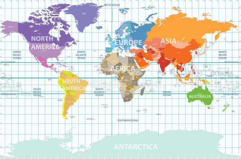
Free with trial Vector political map of the world with all continents separated by color, labeled countries and oceans, and with enumerated longitudes and latitudes on background. World map countries color vectors Political map of the world with all continents separated by color, labeled countries and oceans, and with enumerated longitudes an
Free with trial Political dot world map with countries, vector illustration map source NASA Public Domain. World map countries color vectors Dot world map with countries, vector
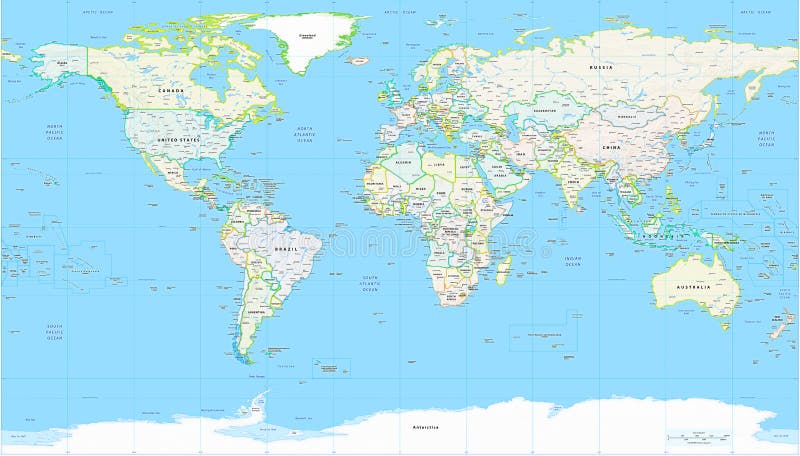
Free with trial Detailed World Map with all Names of Countries, river, lake, oceans, seas. EPS 10 file included. World map countries color vectors Detailed World Map with all Names of Countries
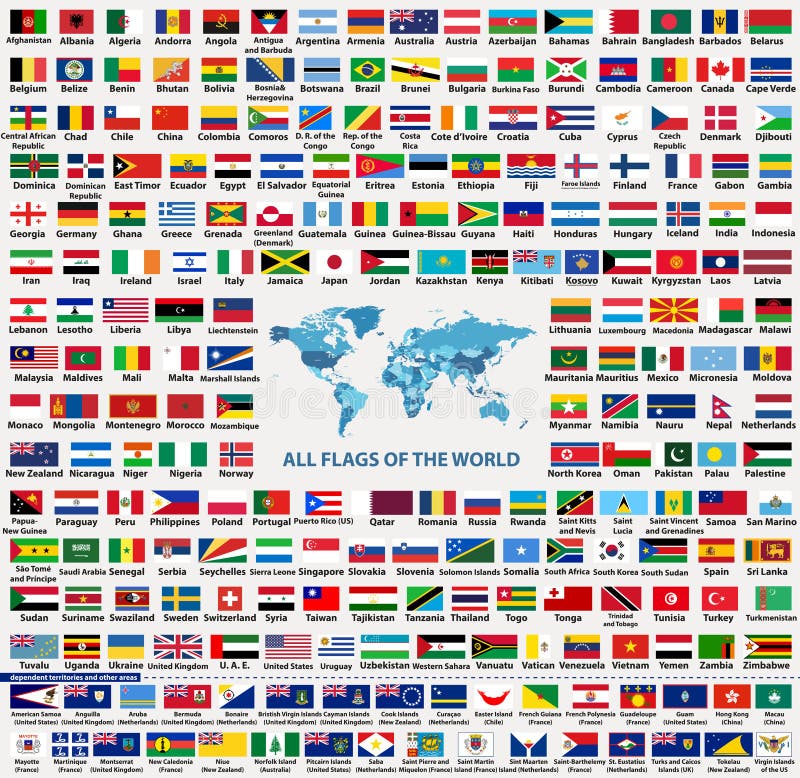
Free with trial Vector set of all world countries flags sovereign states, dependent, overseas territories and other areas,-total of 232 flags. Map of the world with countries names and borders in blue color palette. World map countries color vectors Vector set of all world countries flags sovereign states, dependent, overseas territories and other areas,-total of 232 flags
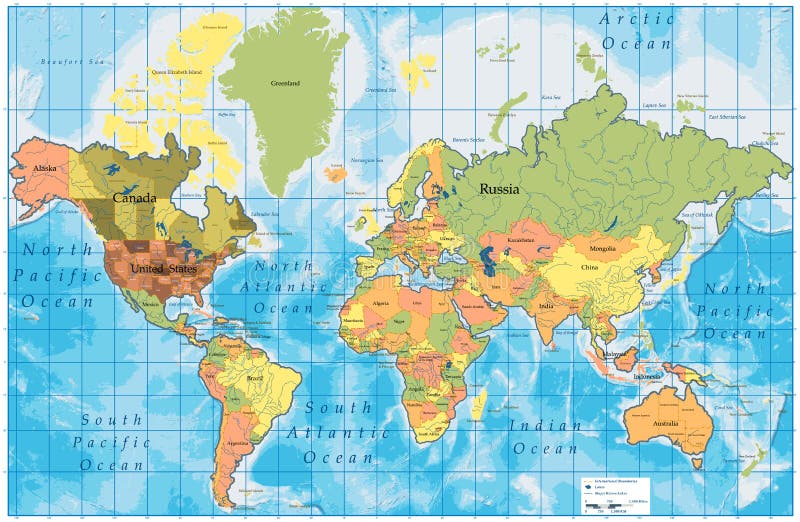
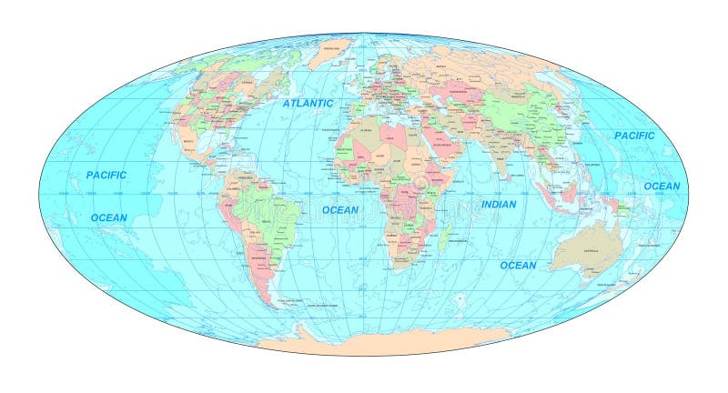
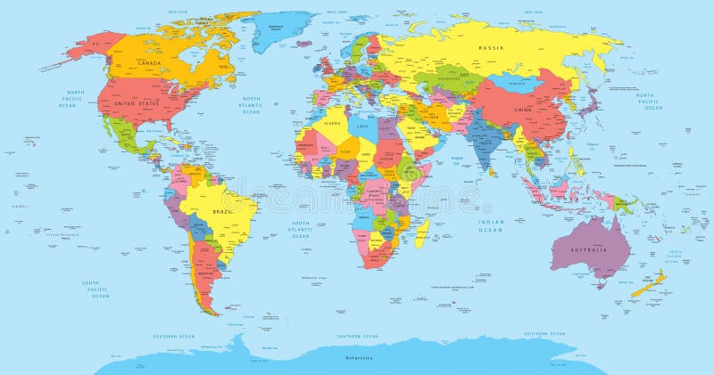
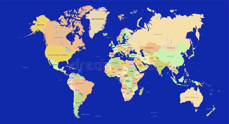
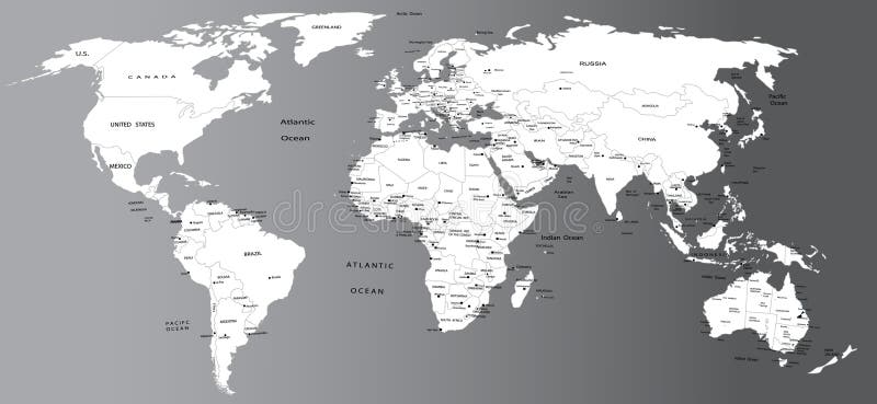
Free with trial Detailed Political World Map with all names of countries, cities and capitals, river, lake, oceans, seas, islands, South Pole and North Pole. World map countries color vectors World Map Detailed Political Map. Detailed Political World Map with all names of countries, cities and capitals, river, lake, oceans, seas, islands, South Pole and North Pole
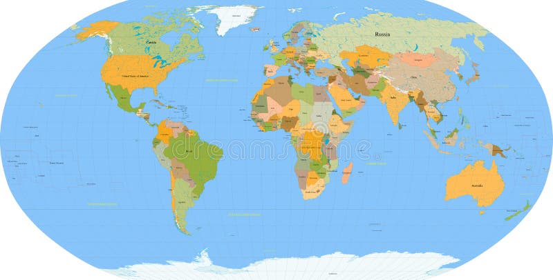
Free with trial Detailed Physical World Map with all names of countries, cities and capitals, river, lake, oceans, seas, islands, South Pole and North Pole. World map countries color vectors World Map Detailed Physical Map. Detailed Physical World Map with all names of countries, cities and capitals, river, lake, oceans, seas, islands, South Pole and North Pole
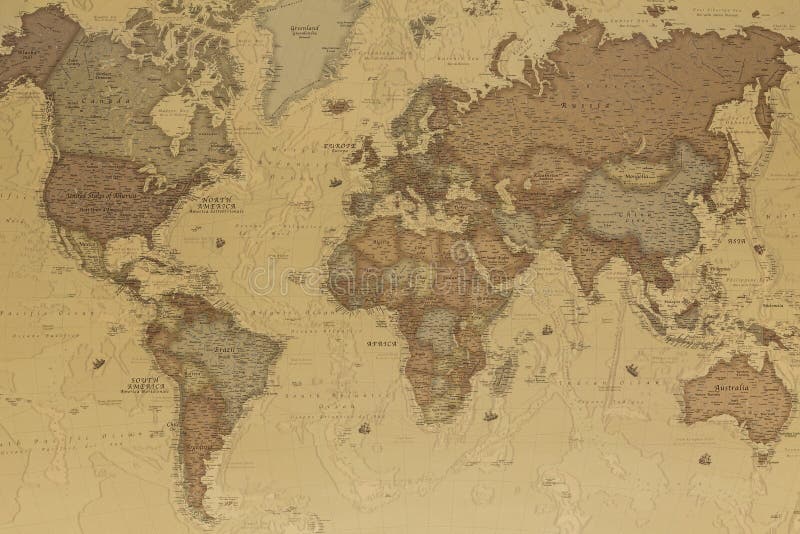
Free with trial Ancient geographic map of the world with names of the countries. World map countries color illustrations Ancient world map. Ancient geographic map of the world with names of the countries
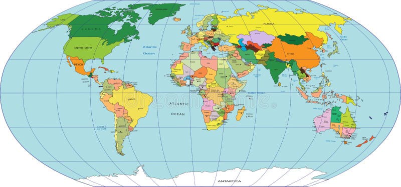
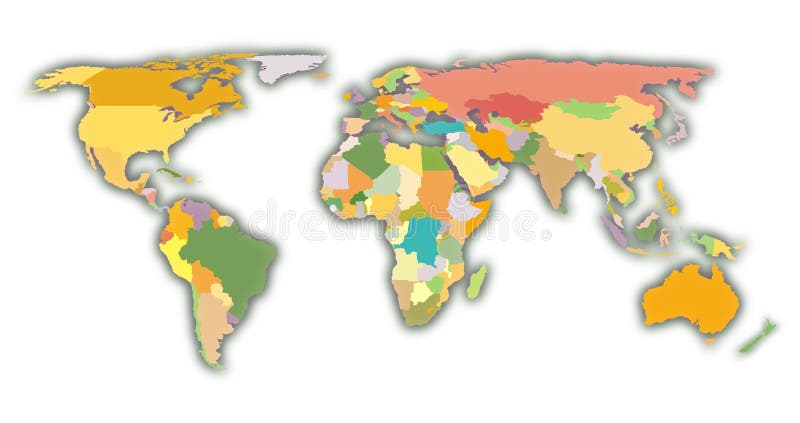
Free with trial Political World map, color countries. World map countries color illustrations Political World map
Free with trial Map of the World. Vector illustration. Names of countries and cities, continents, state borders are located on separate layers. World map countries color vectors Map of the World. Vector illustration
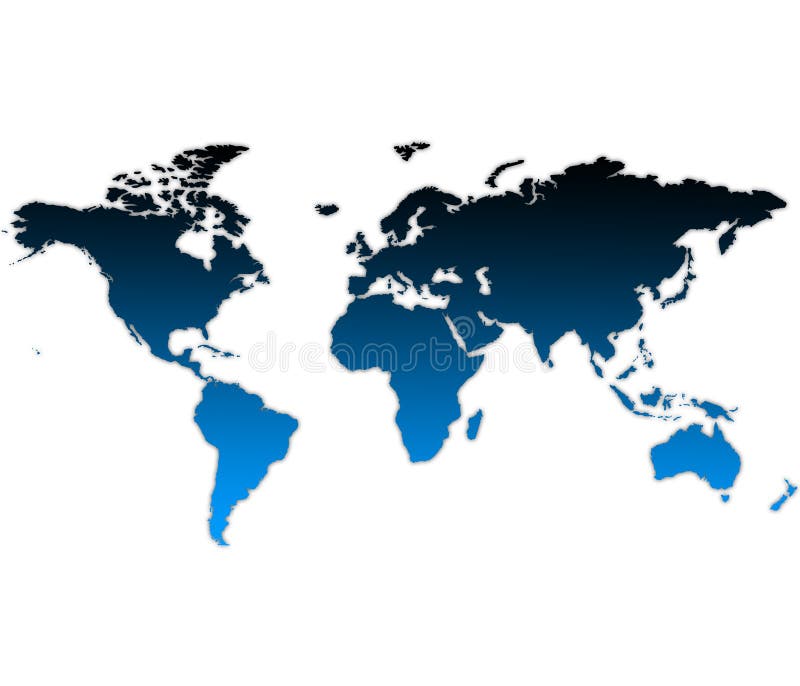
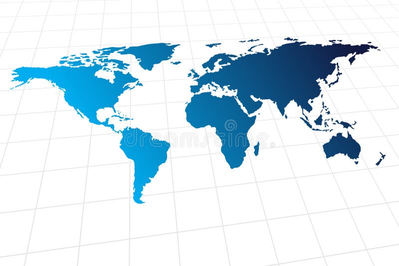
Free with trial A map of the world with blue color gradient. World map countries color illustrations World Map. A map of the world with blue color gradient
Free with trial Political World map, color countries. World map countries color illustrations Political World map
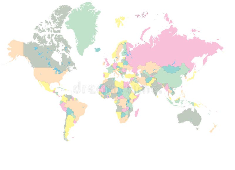
Free with trial An unfolded map of the world with countries with countries' color. World map countries color vectors World Map Continent. An unfolded map of the world with countries with countries' color
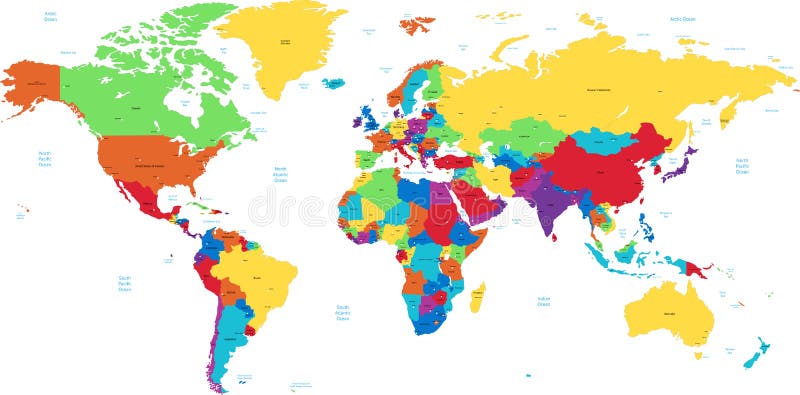
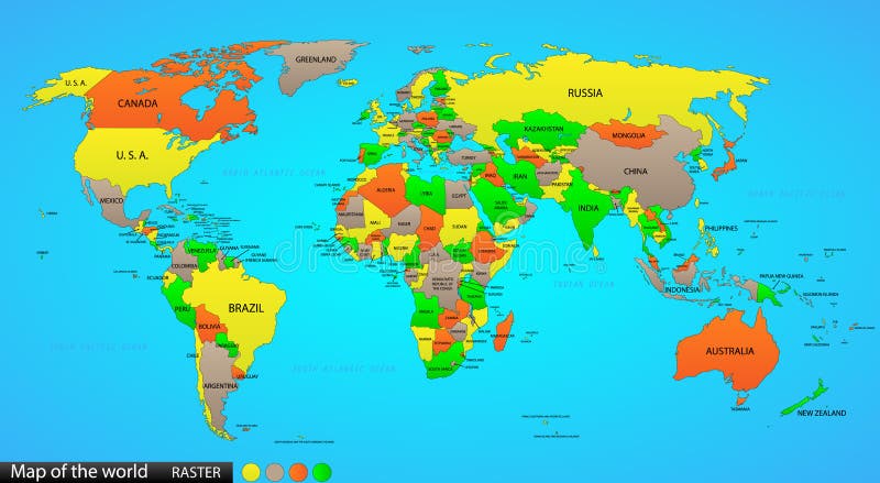
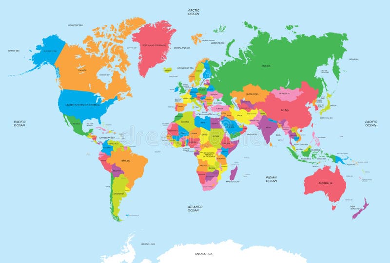
Free with trial Colored world map. Political maps, colourful world countries and country names. Geography politics map, world land atlas or planet cartography vector illustration. World map countries color vectors Colored world map. Political maps, colourful world countries and country names vector illustration. Colored world map. Political maps, colourful world countries and country names. Geography politics map, world land atlas or planet cartography vector illustration
Free with trial Color Political World Map Illustration. World map countries color vectors Colored World Map. Color Political World Map Illustration.
Free with trial Vector illustration of a High Detail Political Map of the world with different colors for each country. Each country has its capital and major cities. All seas and major lakes are named. Global colors used. All elements are separated in editable layers. World map countries color vectors World map with countries, country and city names. Vector illustration of a High Detail Political Map of the world with different colors for each country. Each country has its capital and major cities. All seas and major lakes are named. Global colors used. All elements are separated in editable layers.
Free with trial Political world map on ocean blue background, with every state labeled and selectable (labeled in Layers panel also). Versatile file, turn on an off visibility and color of each country in one click. World map countries color vectors Political map of the world. Political world map on ocean blue background, with every state labeled and selectable (labeled in Layers panel also). Versatile file, turn on an off visibility and color of each country in one click.
Free with trial Color coded map of the world. and illustration. World map countries color vectors World map. Color coded map of the world. and illustration
Free with trial World map with each country named and colored. Also available in vector. Lots of aspects can be selected/viewed or unselected (layers) in this vector, such as river names, state borders, names of most important cities etc. World map countries color vectors World map - vector - detail. World map with each country named and colored. Also available in vector. Lots of aspects can be selected/viewed or unselected (layers) in this vector, such as river names, state borders, names of most important cities etc.
Free with trial Color coded map of the world. World map countries color vectors World Map. Color coded map of the world
Free with trial A detailed world map with names of countries. Good for a presentation or for educational purposes. Also available in vector. Each country can be selected. World map countries color vectors World map in detail - Vector. A detailed world map with names of countries. Good for a presentation or for educational purposes. Also available in vector. Each country can be selected.
Free with trial Color coded map of the world. World map countries color vectors World Map. Color coded map of the world
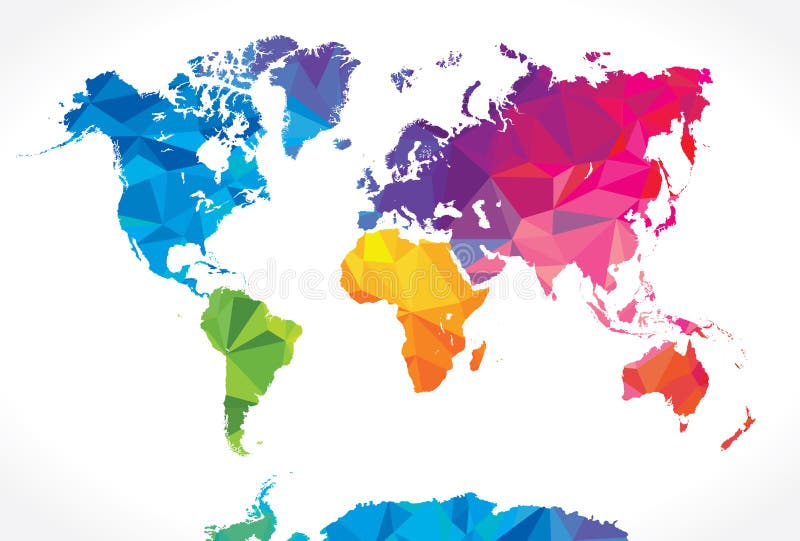
Free with trial Vector hi quality world map in vibrant colors. World map countries color vectors Vibrant Colors world map. Vector hi quality world map in vibrant colors
Free with trial Blue world map, complete world map on blue background color. World map countries color illustrations Blue world map
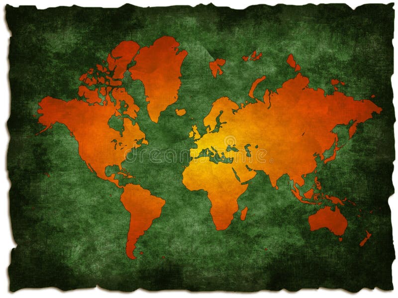
Free with trial Illustration - World map retro with colored texture grunge suitable for all uses for text or website use as banner. World map countries color illustrations Retro world map. Illustration - World map retro with colored texture grunge suitable for all uses for text or website use as banner
Free with trial Red apple with a map of the world cut into it, on green grass. Go green Ecology. World map countries color illustrations Ecology World map on an apple. Red apple with a map of the world cut into it, on green grass. Go green Ecology
Free with trial Color illustration of world Map. World map countries color vectors Map of world. Color illustration of world Map
Free with trial Globe and detail map of the world, Vector file easy to edit or change color. World map countries color vectors Globe map of the world. Globe and detail map of the world, Vector file easy to edit or change color.
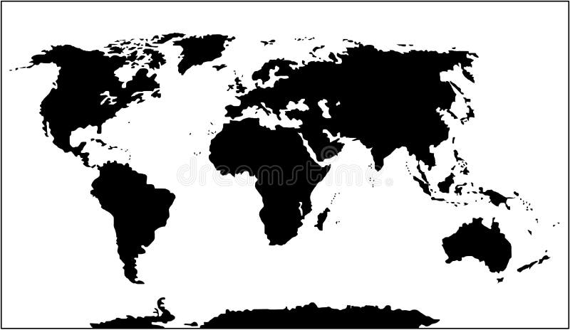
Free with trial Detailed World Map. World map countries color illustrations Vector - World Map (Black and White). Detailed World Map.
Free with trial Beautiful illustration of world map on white background. World map countries color illustrations World map
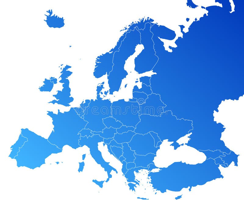
Free with trial Map of European Countries in blue and grey tones. World map countries color vectors Map of European Countries
Free with trial Color coded map of the world. World map countries color illustrations World Map. Color coded map of the world.
Free with trial Watercolor vintage world map in green colors on paper texture. Colorful artistic image of Earth`s lands. World map countries color illustrations Watercolor vintage world map in green colors
Free with trial Digitally created map of the world. World map countries color illustrations A map of the world. Digitally created map of the world
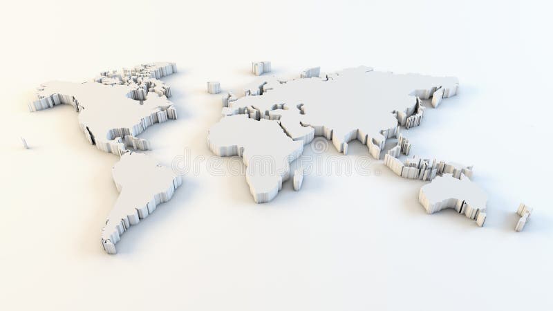
Free with trial Business world map - 3d render. World map countries color illustrations Business world map
Free with trial Grunge old world map illustration: computer generated (map derived from NASA world map). World map countries color illustrations Green old world map. Grunge old world map illustration: computer generated (map derived from NASA world map)
Free with trial Vector - Modern global world map with metallic wave. World map countries color vectors Modern global world map
Free with trial World map infographic template. All countries are selectable. World map countries color vectors World map infographic template
Free with trial Political map of the world vector for your design. World map countries color vectors Political map of the world vector
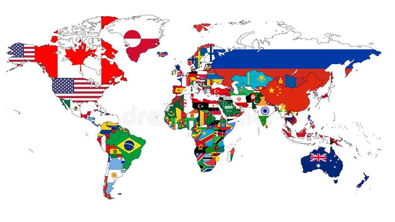
Free with trial A world map in which the countries are filled in with their flags. World map countries color vectors World Flag Map. A world map in which the countries are filled in with their flags.
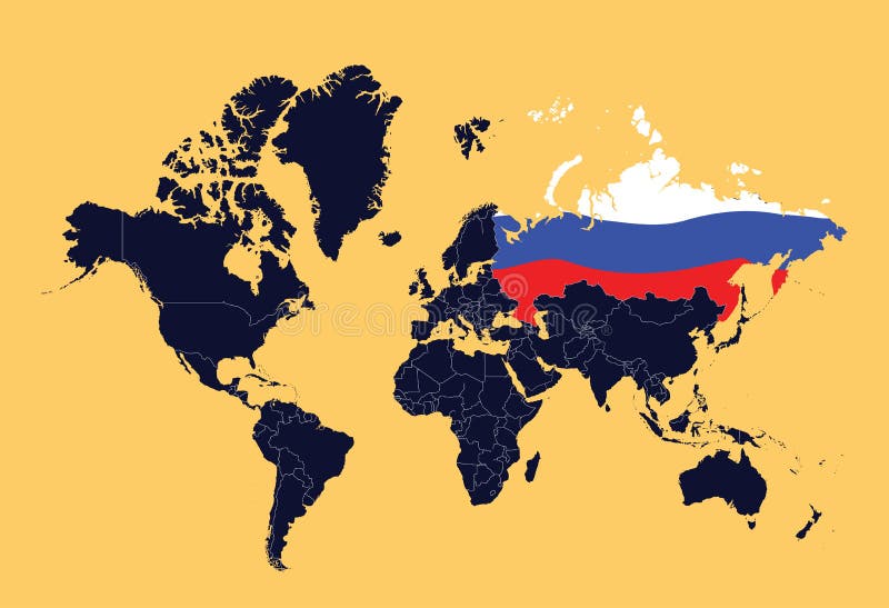
Free with trial An illustration ow world map showing Russian Federation (represented by the flag). World map countries color vectors World map showing Russian Federation
Free with trial Coloured political map of the world vector. World map countries color vectors Coloured political map of the world vector
Free with trial The world map with all states and their flags. World map countries color vectors The world map
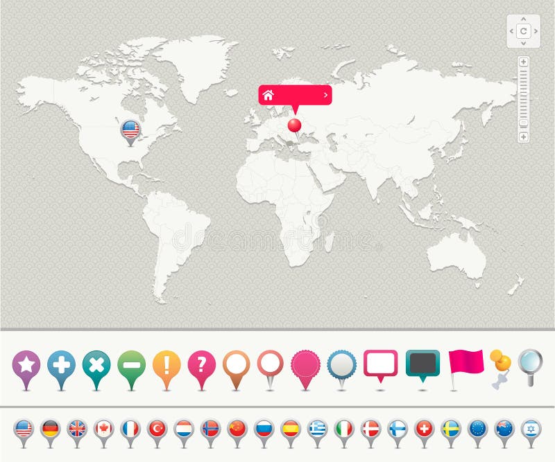
Free with trial Navigation icons for pinpointing locations on a world map. All countries added to each separate layers. Pick up easily related country(s). World map countries color vectors World Map with Pins. Navigation icons for pinpointing locations on a world map. All countries added to each separate layers. Pick up easily related country(s)
Free with trial World map with flags isolated on white background. World map countries color vectors World map with flags
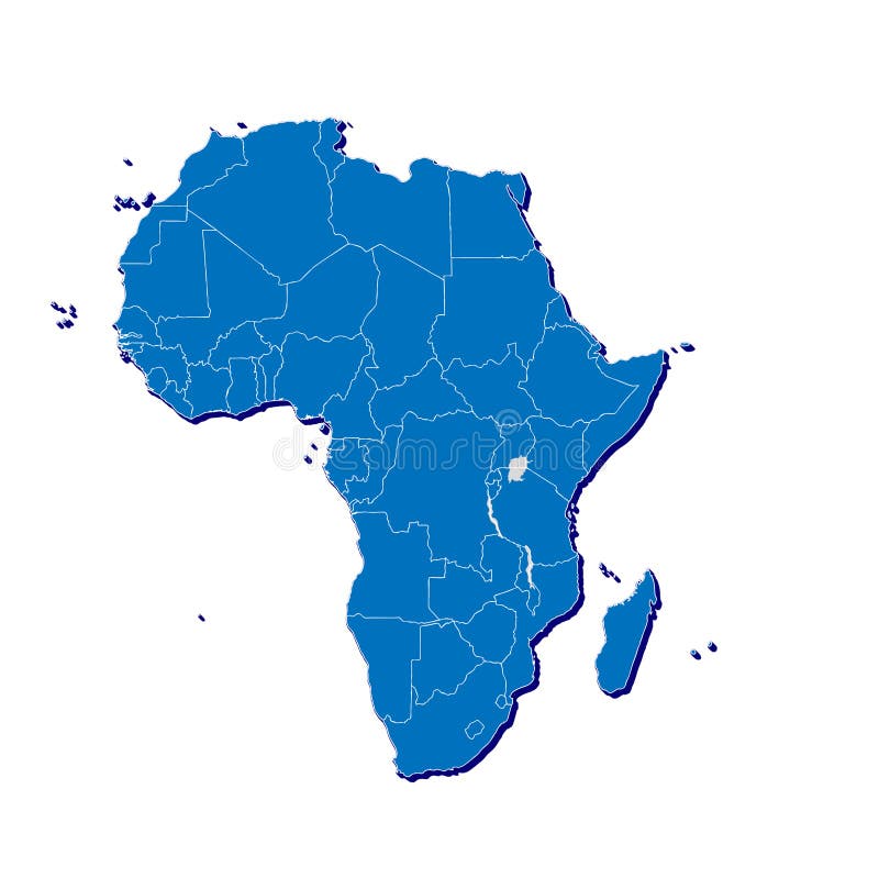
Free with trial Blind map of Africa with country borders. Names of the countries and their capital are in an additional format (. AI) in the latent layer. World map countries color vectors Africa blind map. Blind map of Africa with country borders. Names of the countries and their capital are in an additional format (.AI) in the latent layer
Free with trial A map of the African continent with each country on the continent colored in bright colors. Names of the countries and their capital are shown on a map too. Continent isolated on a white background. World map countries color vectors Map of Africa. A map of the African continent with each country on the continent colored in bright colors. Names of the countries and their capital are shown on a map too. Continent isolated on a white background.
Free with trial Political map of the world, vector illustration, black and white. World map countries color vectors Political map of world. Political map of the world, vector illustration, black and white
Free with trial A world map illustration. Very detailed and high resolution. World map countries color illustrations Mundi map. A world map illustration. Very detailed and high resolution
Free with trial A Brazil map illustration with the statesseparated by color. For other maps, just see my portfolio!. World map countries color illustrations Brazil map
Free with trial 3d, globe and earth, world map. World map countries color illustrations World 3d globe. 3d, globe and earth, world map.
Free with trial Africa abstract map with countries made of ethnic textures. World map countries color illustrations Africa map with countries made of ethnic textures. Africa abstract map with countries made of ethnic textures
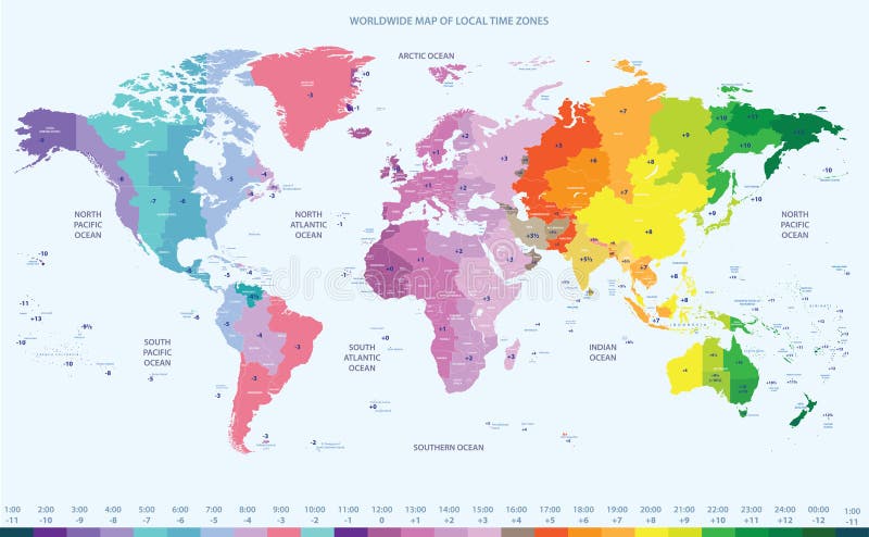
Free with trial Vector color worldwide map of local time zones. World map countries color vectors Color worldwide map of local time zones
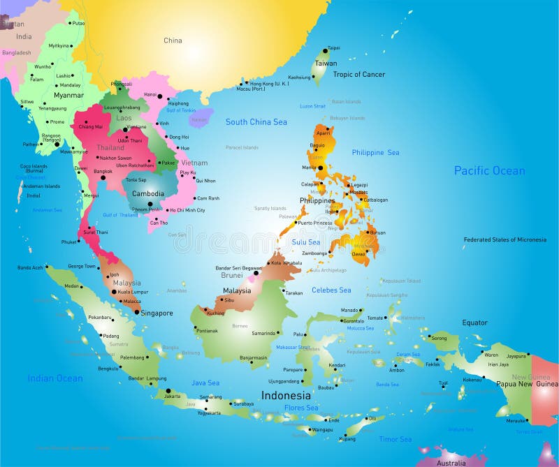
Free with trial Vector color southeast asia map. World map countries color vectors Southeast asia map
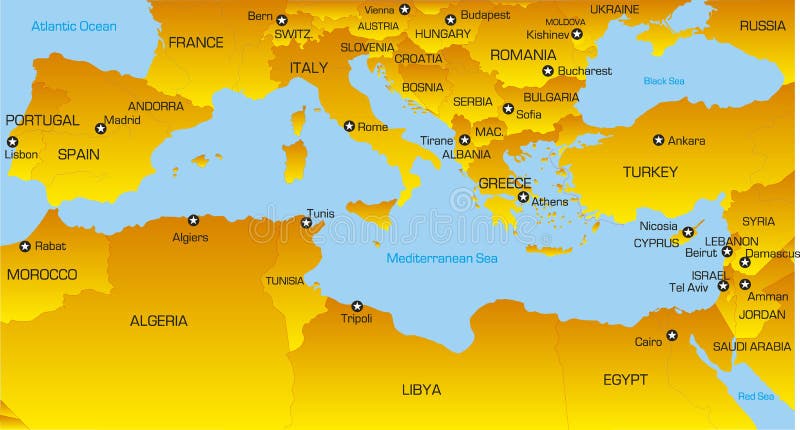
Free with trial Vector color map of Mediterranean region countries. World map countries color vectors Mediterranean region
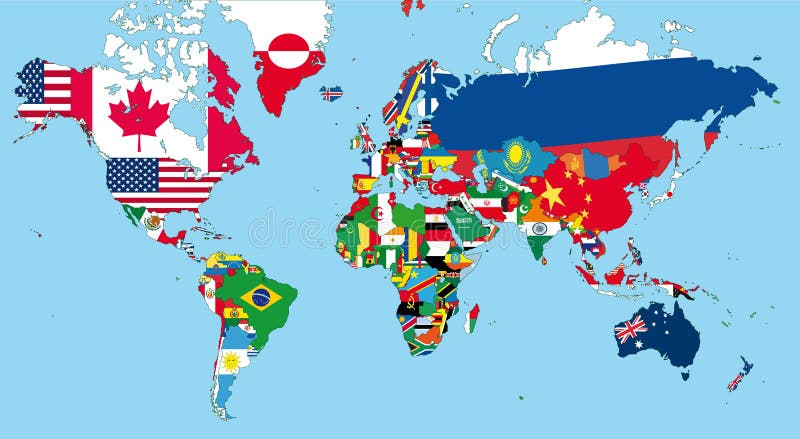
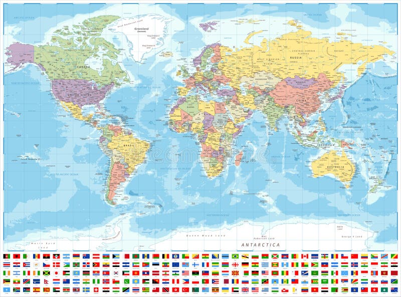
Free with trial World Map Political and Flags - Vector Detailed Illustration. Political World Map and Flags - Vector Detailed Illustration. World map countries color vectors World Map Political and Flags - Vector Detailed Illustration. Political World Map and Flags - Vector Detailed Illustration
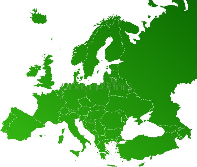
Free with trial Europe map, Vector map - size and color can be changed. World map countries color vectors Europe vector map. Europe map, Vector map - size and color can be changed.
Free with trial Mexico map designed in illustration with states colored in bright colors and with the main cities. Neighbouring countries are in an additional format (. AI) in the latent layer. World map countries color vectors Mexico map
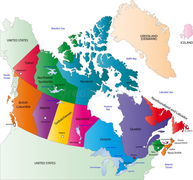
Free with trial Canada map designed in illustration with states colored in bright colors and with the main cities. On an illustration neighbouring countries are shown too. World map countries color vectors Canada color map. Canada map designed in illustration with states colored in bright colors and with the main cities. On an illustration neighbouring countries are shown too
Free with trial Europe map, Vector map - size and color can be changed. World map countries color vectors Europe vector map. Europe map, Vector map - size and color can be changed.
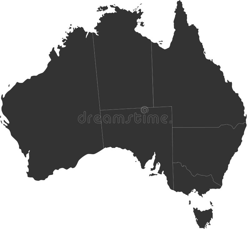
Free with trial A map of the Australian continent with the states on the continent colored in grey colors and the main cities. World map countries color vectors Map of Australia. A map of the Australian continent with the states on the continent colored in grey colors and the main cities.
Free with trial Blind map of Australia with country borders. Names of the states and their the main cities are in an additional format (. AI) in the latent layer. World map countries color vectors Australia blind map. Blind map of Australia with country borders. Names of the states and their the main cities are in an additional format (. AI) in the latent layer
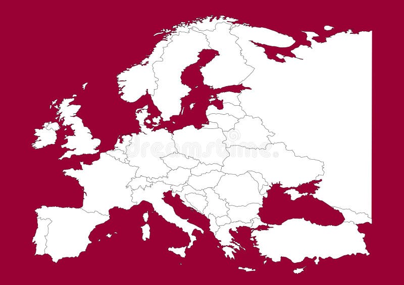
Free with trial This is a Europe map, Vector map - size and color can be changed for additional format! Great for your editorial article, news repport and other media!. World map countries color vectors Europe vectorial map on red. This is a Europe map, Vector map - size and color can be changed for additional format! Great for your editorial article, news repport and other media!
Free with trial Colored globe, map and dot map kit. Additional format Eps8 (very easy editable separate layers). World map countries color vectors Map and globe. Colored globe, map and dot map kit. Additional format Eps8 (very easy editable separate layers)
Free with trial Europe map, Vector map - size and color can be changed. World map countries color vectors Europe vector map. Europe map, Vector map - size and color can be changed.
Free with trial A detailed map of Africa with 3D effect and country outlines, large enough for all general print requirements. For a collection of similar maps, please visit this link:. World map countries color illustrations Africa map in 3D. A detailed map of Africa with 3D effect and country outlines, large enough for all general print requirements. For a collection of similar maps, please visit this link:
Free with trial Blue world globe isolated on white background. with Asia, Australia, Africa continents and China, India, Singapore, Japan countries. World map countries color vectors World Globe
Free with trial Europe map, Vector map - size and color can be changed. World map countries color vectors Europe vector map. Europe map, Vector map - size and color can be changed.
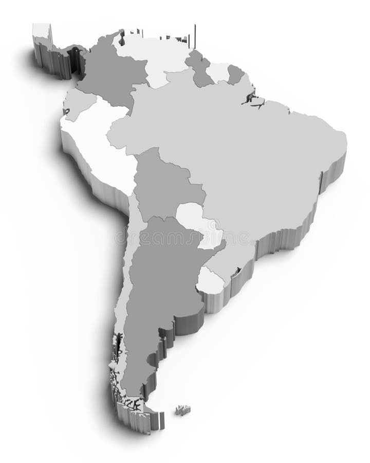
Free with trial 3D south america map on white. World map countries color illustrations 3D south america map on white
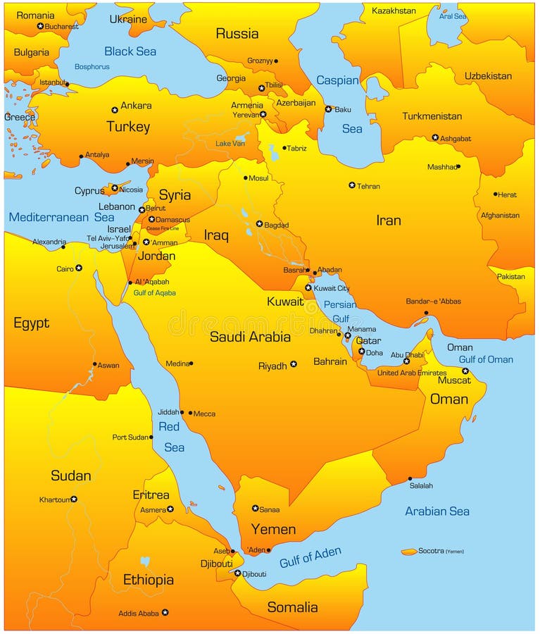
Free with trial Abstract vector color map of Middle East countries. World map countries color vectors Middle East
Free with trial Mexico map designed in illustration with states colored in green colors and with the main cities. Neighbouring countries are in an additional format (. AI) in the latent layer. World map countries color vectors Vector Mexico map. Mexico map designed in illustration with states colored in green colors and with the main cities. Neighbouring countries are in an additional format (. AI) in the latent layer.
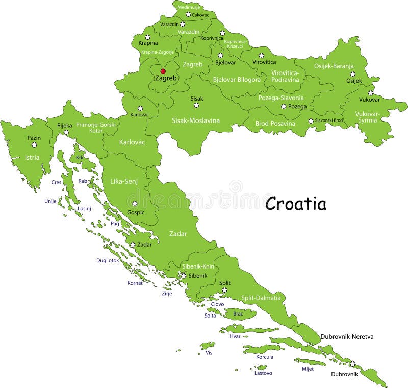
Free with trial Croatia map designed in illustration with regions colored in green colors. Vector illustration. World map countries color vectors Croatia map
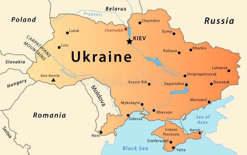
Free with trial Illustration of a detailed political map of Ukraine, with the most important cities, rivers and mountains. World map countries color vectors Ukraine map. Illustration of a detailed political map of Ukraine, with the most important cities, rivers and mountains.
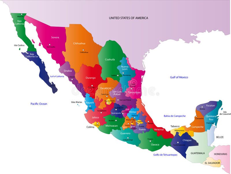
Free with trial Mexico map designed in illustration with the states colored in bright colors and with the main cities. On an illustration neighbouring countries are shown too. World map countries color vectors Map of Mexico. Mexico map designed in illustration with the states colored in bright colors and with the main cities. On an illustration neighbouring countries are shown too
Free with trial Illustration drawing of around the world flags. World map countries color illustrations World flags
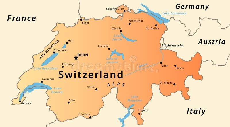
Free with trial Illustration of a detailed political map of Switzlerand, with the most important cities, river, mountains and lakes. World map countries color vectors Switzerland map. Illustration of a detailed political map of Switzlerand, with the most important cities, river, mountains and lakes.
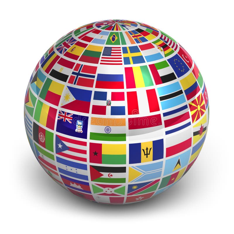
Free with trial Globe with world flags isolated on white background. World map countries color illustrations Globe with world flags
Free with trial Globe with world flags isolated on white background. World map countries color illustrations Globe with world flags