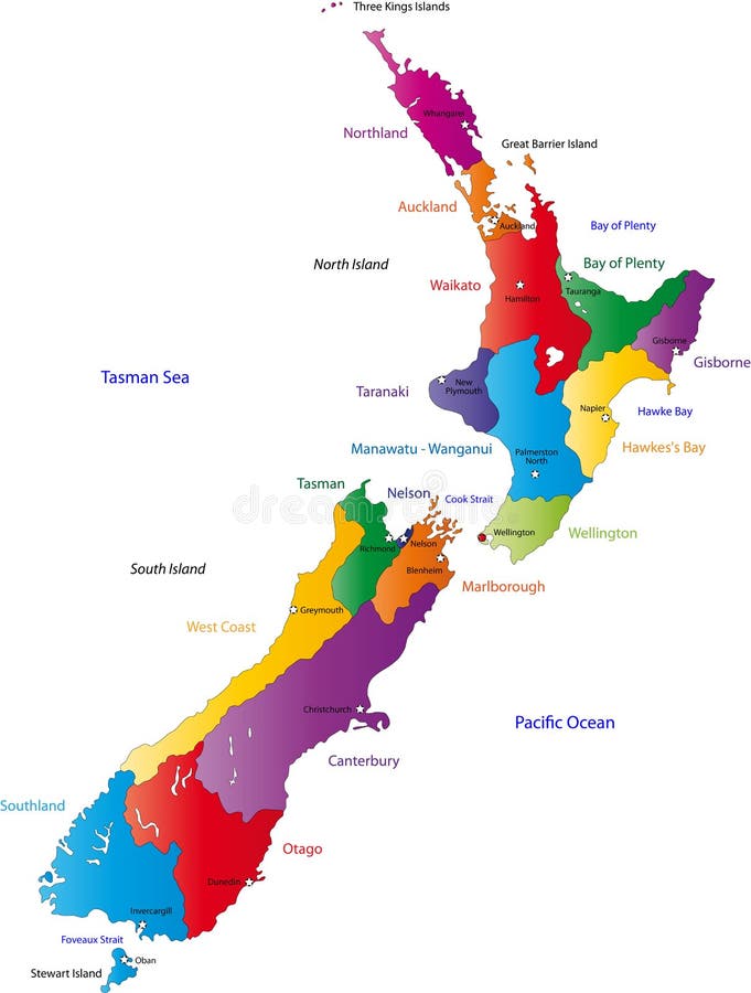
Free with trial New Zealand map with the regions colored in bright colors and with the main cities. Zealand map vectors New Zealand map
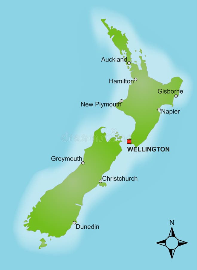
Free with trial A stylized map of New Zealand showing different cities. Zealand map vectors Map New Zealand. A stylized map of New Zealand showing different cities.
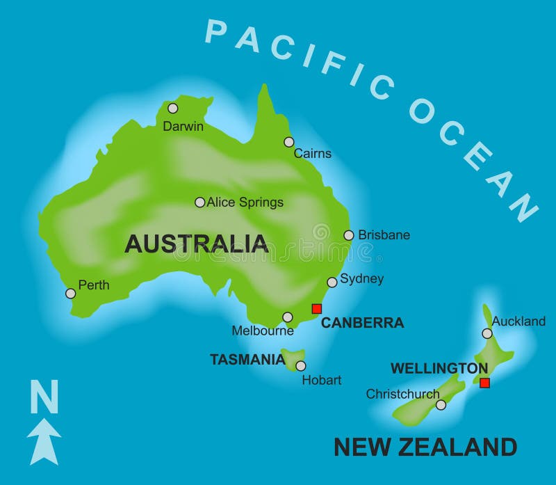
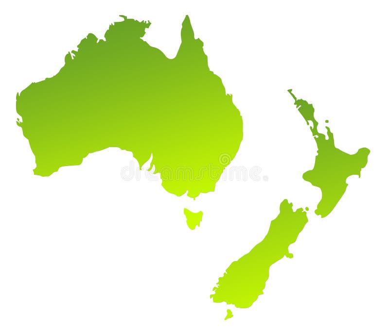
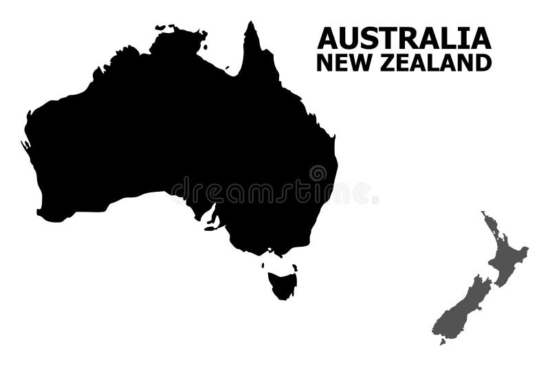
Free with trial A stylized map showing the countries of Australia and New Zealand. Zealand map vectors Map of Australia and New Zealand. A stylized map showing the countries of Australia and New Zealand.
Free with trial Isolated green gradient map of New Zealand. Zealand map illustrations Green map of New Zealand. Isolated green gradient map of New Zealand
Free with trial Isolated blue gradient map of New Zealand. Zealand map illustrations Blue shaded New Zealand map. Isolated blue gradient map of New Zealand
Free with trial Art illustration: new zealand map and flag. Zealand map vectors New zealand map and flag
Free with trial Layered editable vector illustration country map of New Zealand,which contains colorful country flag version,black silhouette version and defferent pixel versions,can be used as background or material. Zealand map vectors Layered editable vector illustration country map of New Zealand
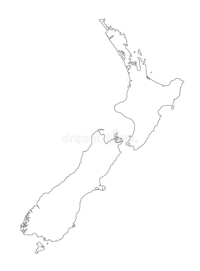
Free with trial A detailed black outline map of New Zealand on a white background. Vector illustration may be edited and re-sized without loosing quality. Host nation for the 2011 Rugby World Cup. Zealand map vectors New Zealand Black Outline Map Vector Illustration. A detailed black outline map of New Zealand on a white background. Vector illustration may be edited and re-sized without loosing quality. Host nation for the 2011 Rugby World Cup.
Free with trial Illustration of a detailed political map of New Zealand. Zealand map vectors New Zealand map. Illustration of a detailed political map of New Zealand.
Free with trial Green gradient map of Australia and New Zealand isolated on a white background. Zealand map illustrations Australia and New Zealand
Free with trial Image is from an 1870 Antique Map of Oceania showing Australia, New Zealand, the East Indies and Polynesian Islands. Zealand map illustrations Antique 1870 Map of Austalia. Image is from an 1870 Antique Map of Oceania showing Australia, New Zealand, the East Indies and Polynesian Islands
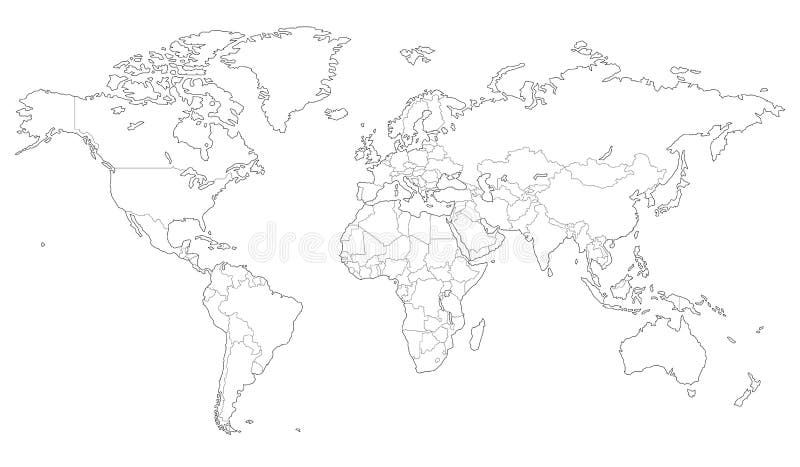
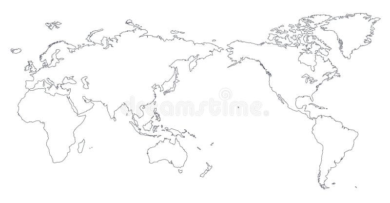
Free with trial High quality Outlined vector map of the world with only straight lines. Zealand map vectors Outlined vector map of the world
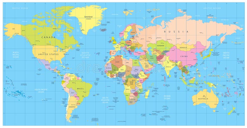
Free with trial Detailed Political World map. Vector illustration. Zealand map vectors Detailed Political World map
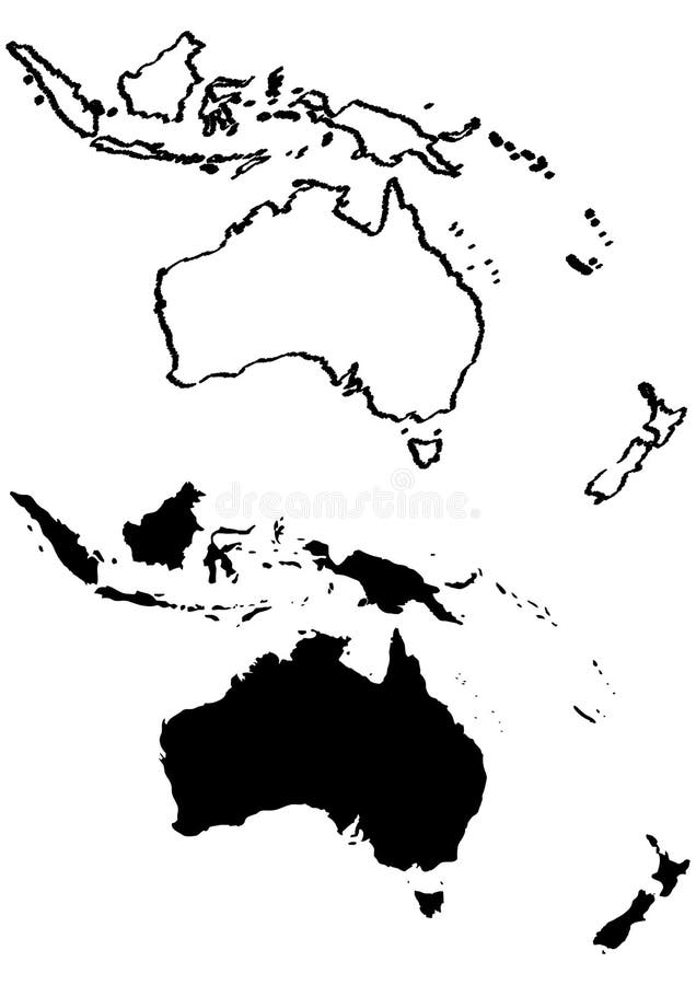
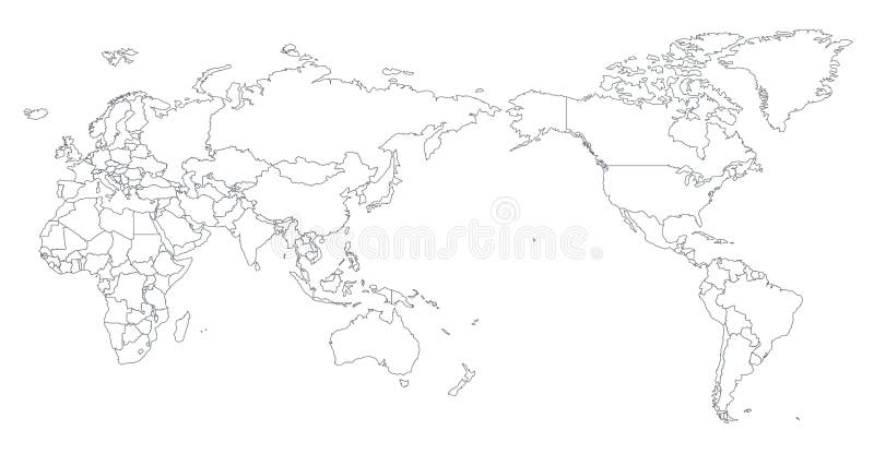
Free with trial Vector illustration of oceania as blank map with borders of states. Zealand map vectors Oceania outline map. Vector illustration of oceania as blank map with borders of states
Free with trial Antarctica Political Map with south pole, scientific research stations and ice shelfs. English labeling and scaling. Illustration. Zealand map vectors Antarctica Political Map
Free with trial Map of Asia Pacific. Bangladesh, Bhutan, Brunei Darussalam, Cambodia, China, Mainland China, Taiwan Province of China, Hong Kong SAR. Zealand map vectors Map of Asia Pacific
Free with trial Highly detailed World Map and navigation icons with globes. Zealand map vectors Highly detailed World Map and navigation icons
Free with trial Compass and vintage map showing Australia and part of Oceania. Digital illustration. Zealand map illustrations Old map and compass. Compass and vintage map showing Australia and part of Oceania. Digital illustration.
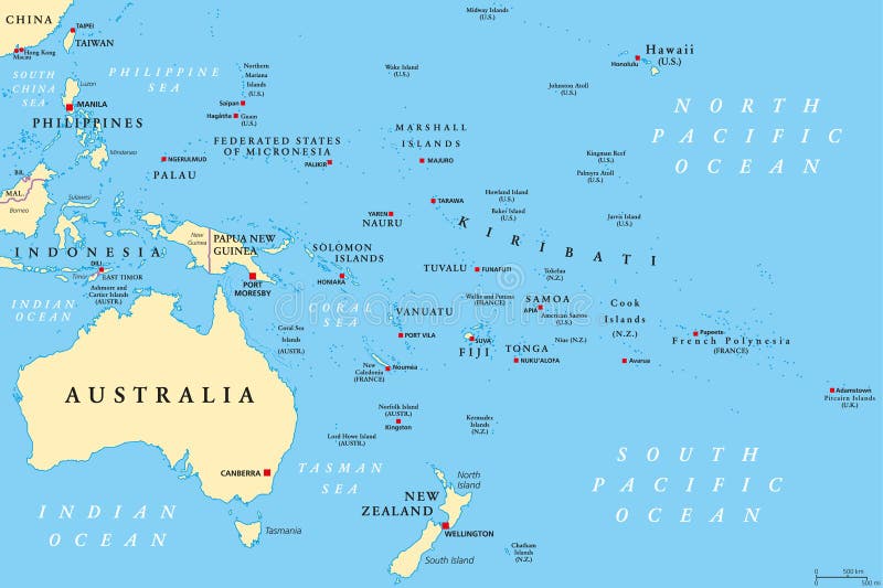
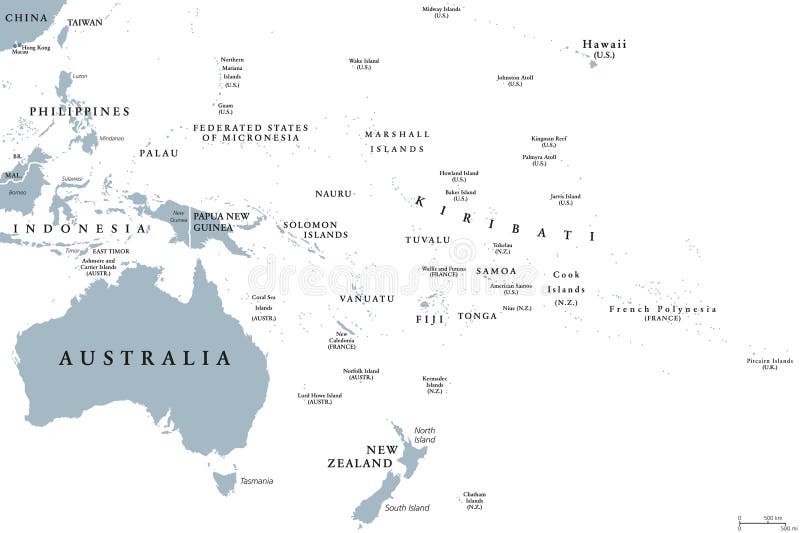
Free with trial Oceania political map. Region, centered on central Pacific Ocean islands. With Melanesia, Micronesia and Polynesia, including Australasia and Malay Archipelago. Illustration. English labeling. Vector. Zealand map vectors Oceania political map
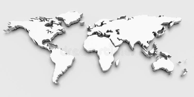
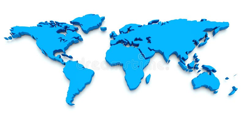
Free with trial A world map in Black and White 3D. Zealand map vectors World Map black and white. A world map in Black and White 3D
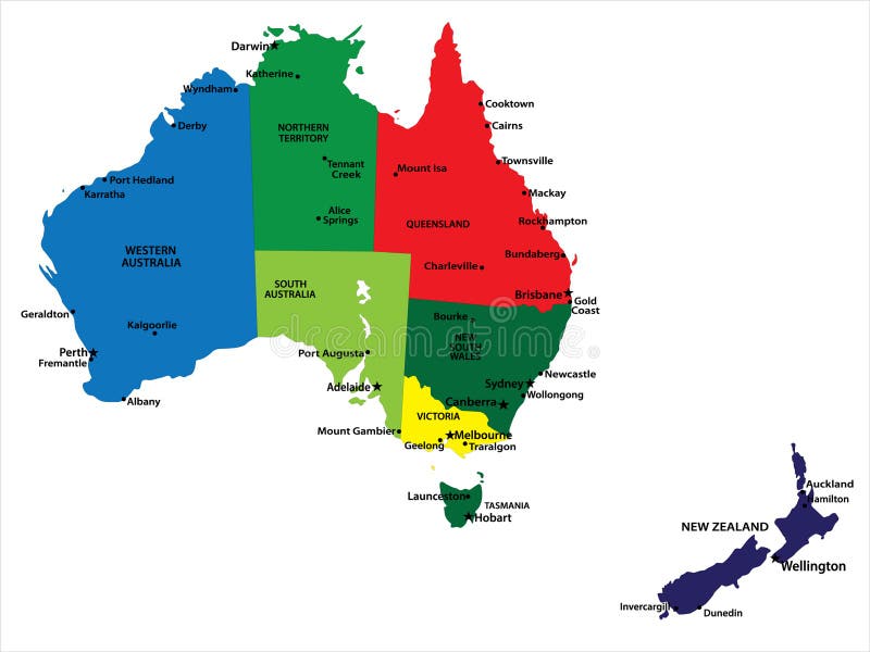
Free with trial Vector map of Australia and New Zealand with state borders and main cities. Zealand map vectors Australia and New Zealand
Free with trial Aged old grunge Australia map illustration. Zealand map illustrations Australia old map illustration. Aged old grunge Australia map illustration
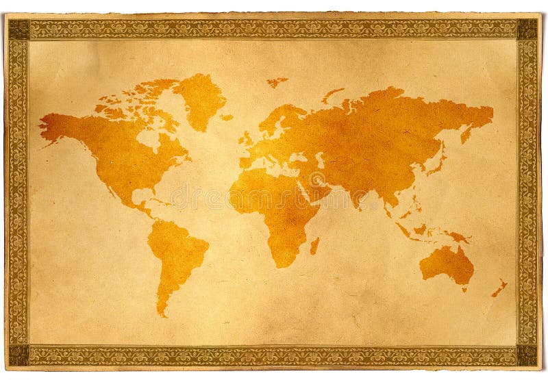
Free with trial Large detailed vintage color political World Map with lakes and rivers. Highly detailed vector illustration of World Map. Zealand map vectors Large detailed vintage color political World Map with lakes and
Free with trial Vector set of blue World map and five kinds of globe. Zealand map vectors World map and globe. Vector set of blue World map and five kinds of globe
Free with trial World Map Color Detailed - Asia in Center. Zealand map vectors Asia Center World Map Color. World Map Color Detailed - Asia in Center
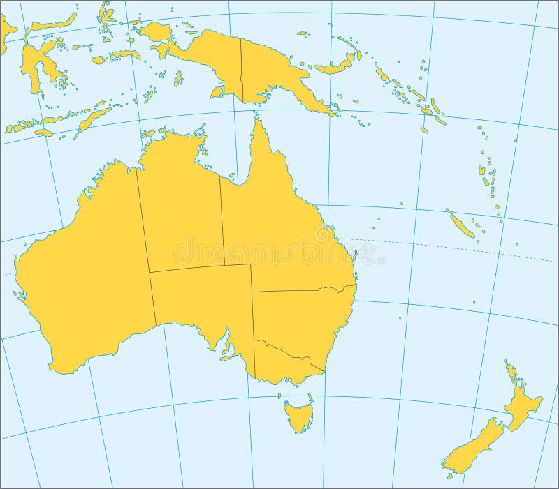
Free with trial Political map of Australia and Oceania with coordinates, present states borders, detailed vector map. Zealand map vectors Australia and Oceania political map. Political map of Australia and Oceania with coordinates, present states borders, detailed vector map.
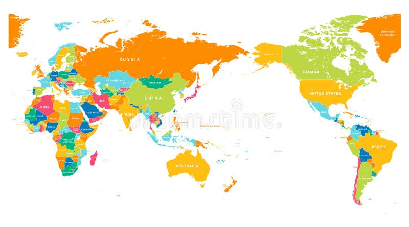
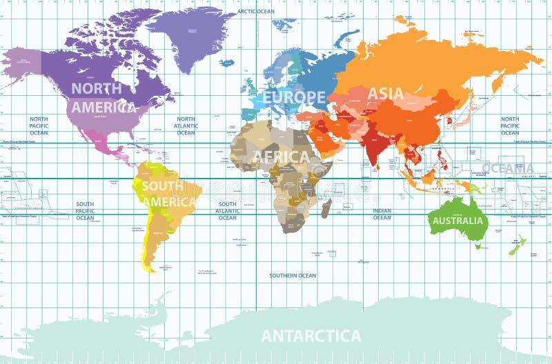
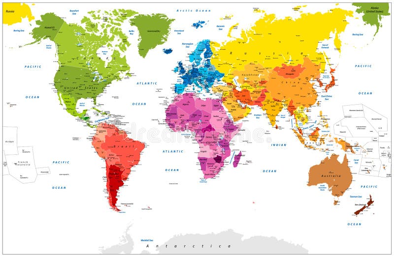
Free with trial Vector political map of the world with all continents separated by color, labeled countries and oceans, and with enumerated longitudes and latitudes on background. Zealand map vectors Political map of the world with all continents separated by color, labeled countries and oceans, and with enumerated longitudes an
Free with trial Travel Concept New Zealand Landmark Flat Icons Design. Vector Illustration. Zealand map vectors Travel Concept New Zealand Landmark Flat Icons Design .Vector
Free with trial Australia and New Zealand volume 3d render. Maps from NASA imagery. Zealand map illustrations Australia and New Zealand
Free with trial Detailed political World Map: countries, cities, water objects. All elements are separated in editable layers clearly labeled. Zealand map vectors Detailed political World Map: countries, cities, water objects
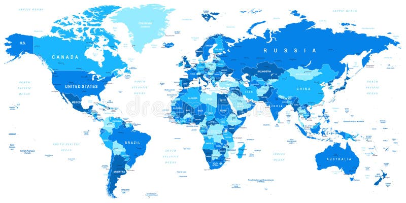
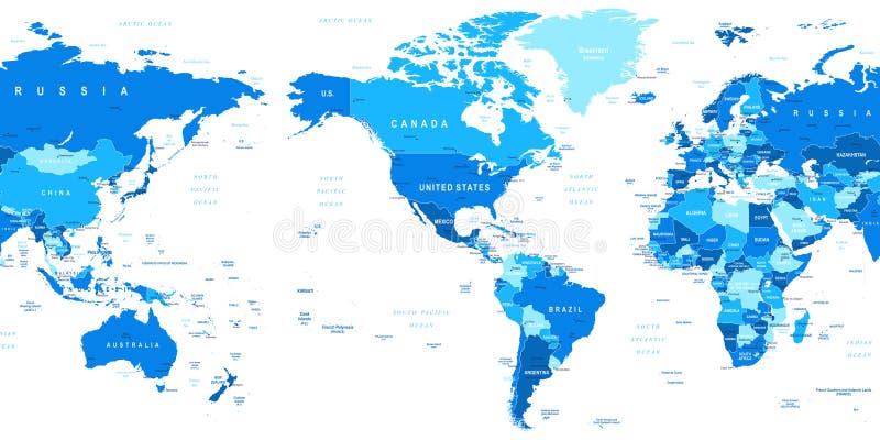
Free with trial Highly detailed vector illustration of world map. Zealand map vectors Blue World Map - borders, countries and cities -illustration. Highly detailed vector illustration of world map.
Free with trial World Map old colors illustration: countries, cities, water objects. All elements are separated in editable layers clearly labeled. Zealand map vectors World Map old colors illustration: countries, cities, water objects
Free with trial Australia and New Zealand vector Map with Flag. Zealand map vectors Australia map. Australia and New Zealand vector Map with Flag
Free with trial Detailed industrialized country flags and world map manually traced from public domain map. EPS file available. Zealand map vectors 32 Industrialized country flag. Detailed industrialized country flags and world map manually traced from public domain map. EPS file available
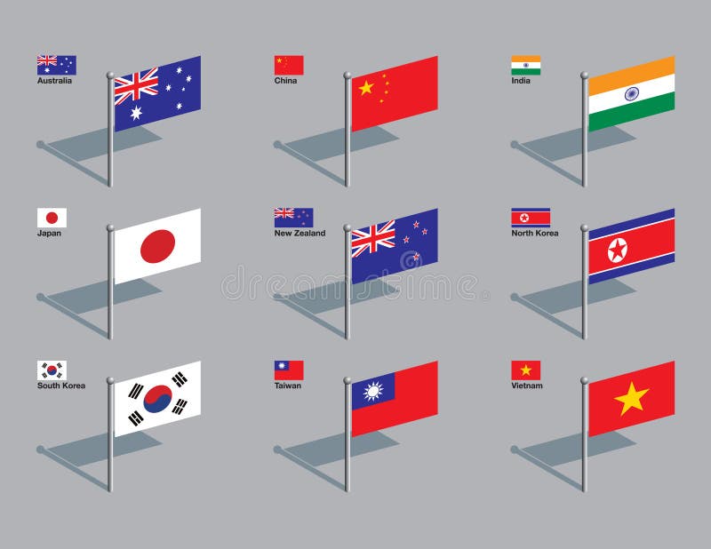
Free with trial The flags of Australia, China, India, Japan, New Zealand, North Korea, South Korea, Taiwan, and Vietnam. Drawn in CMYK and placed on individual layers. Zealand map vectors Flag Pins - Asia, Pacific. The flags of Australia, China, India, Japan, New Zealand, North Korea, South Korea, Taiwan, and Vietnam. Drawn in CMYK and placed on individual layers.
Free with trial Planet earth with translucent water of the oceans, atmosphere, volumetric clouds, and detailed topography in outer space. Zealand map illustrations Earth in Space. Planet earth with translucent water of the oceans, atmosphere, volumetric clouds, and detailed topography in outer space
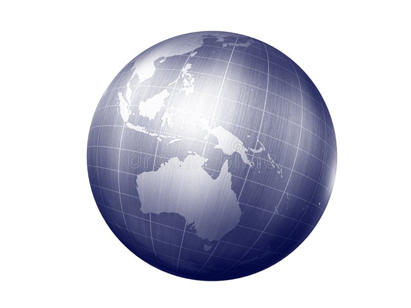
Free with trial 3d render of globe looking on australia continet. Zealand map illustrations Earth -australia. 3d render of globe looking on australia continet
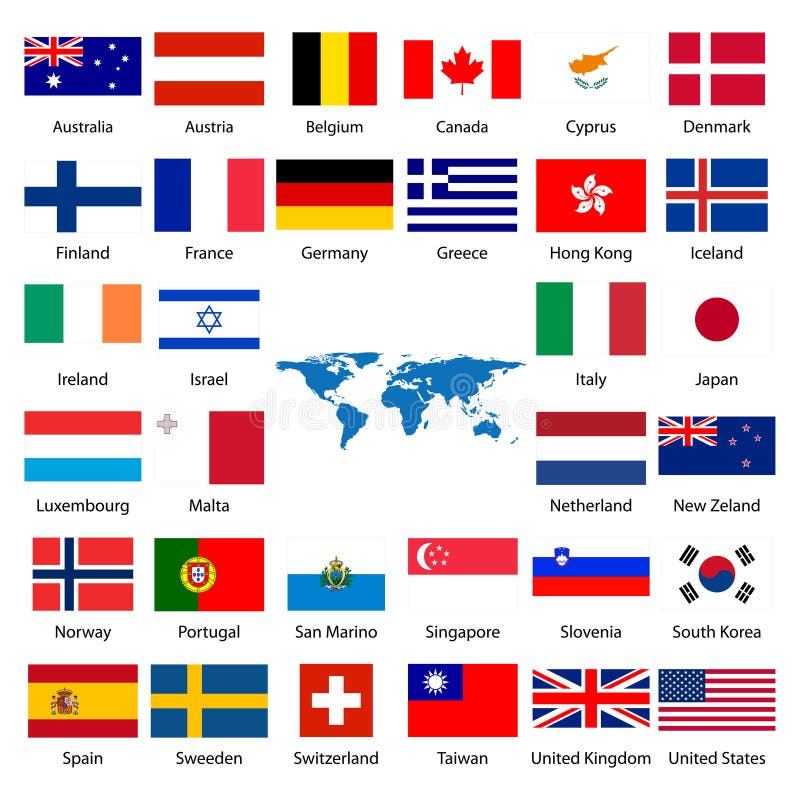
Free with trial First part of flags with names very detailed. Zealand map vectors Flag of the World II. First part of flags with names very detailed
Free with trial New Zealand map and words cloud with larger cities. Zealand map vectors New Zealand map and cities. New Zealand map and words cloud with larger cities
Free with trial New Zealand light blue map with shadow. High resolution. Mercator projection. Zealand map illustrations New Zealand map. New Zealand light blue map with shadow. High resolution. Mercator projection.
Free with trial Highly detailed physical map of New Zealand, in vector format, with all the relief forms and big cities. Zealand map vectors New Zealand physical map. Highly detailed physical map of New Zealand, in vector format, with all the relief forms and big cities
Free with trial Detailed vector map of New Zealand with country borders, county names, main roads and a highly detailed state silhouette. Zealand map vectors New Zealand map. Detailed vector map of New Zealand with country borders, county names, main roads and a highly detailed state silhouette.
Free with trial A detailed green map of New Zealand on a white background. Includes top twenty NZ attractions, things to do and place names. Vector illustration may be edited and re-sized without loosing quality. Zealand map vectors New Zealand Green Vector Map - Top 20 Attractions. A detailed green map of New Zealand on a white background. Includes top twenty NZ attractions, things to do and place names. Vector illustration may be edited and re-sized without loosing quality.
Free with trial Abstract map of New Zealand with regions. Zealand map illustrations Map of New Zealand
Free with trial New Zealand map on the white background. Vector illustration. Zealand map vectors New Zealand map
Free with trial 3D render of the map of New Zealand and the new zealand flag. Zealand map illustrations New Zealand - Map and Flag. 3D render of the map of New Zealand and the new zealand flag
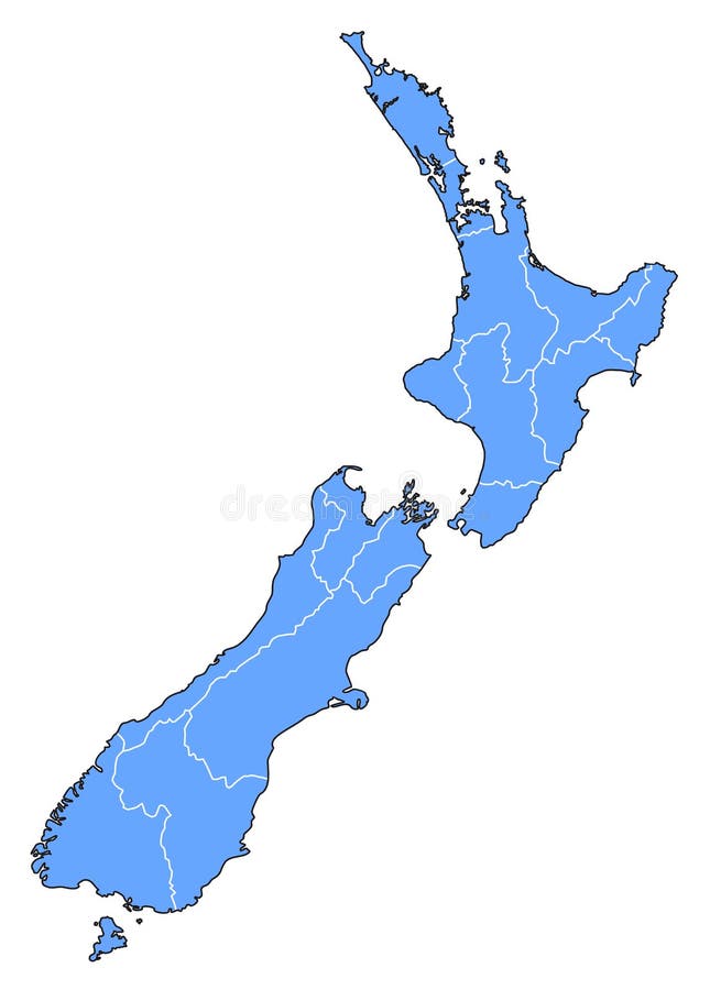
Free with trial New Zealand map silhouette vector illustration isolated on white background. Zealand map vectors New Zealand map silhouette vector illustration
Free with trial Vector map and flags of Australia and New Zealand with largest cities skylines. Location, navigation and travel icons. Zealand map vectors Vector map and flags of Australia and New Zealand with largest cities skylines.
Free with trial Dot And Flag Map Of New Zealand Infographic Design Template. Zealand map vectors Dot And Flag Map Of New Zealand Infographic Design
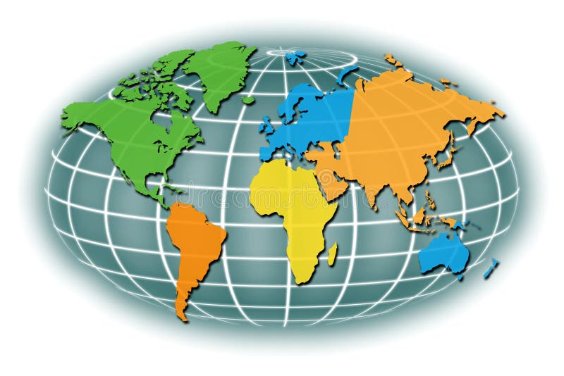
Free with trial This illustration graphic shows a map of the world with the land areas in country or ethnic regions - North America, South America, Europe, Africa Asia and the Middle East plus Australia and New Zealand. All with a global grid in the background. Zealand map illustrations World Map Regions. This illustration graphic shows a map of the world with the land areas in country or ethnic regions - North America, South America, Europe, Africa Asia and the Middle East plus Australia and New Zealand. All with a global grid in the background.
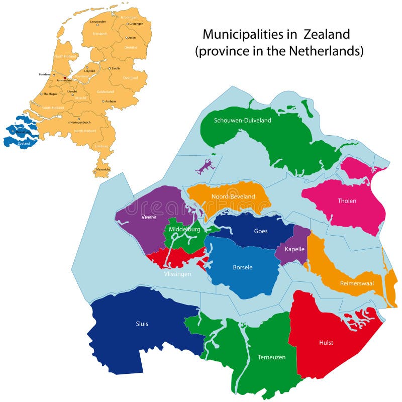
Free with trial Administrative division of the Netherlands. Map of Zealand with municipalities. Zealand map vectors Zealand - province of the Netherlands. Administrative division of the Netherlands. Map of Zealand with municipalities
Free with trial Map of New Zealand in squares with turquoise gradient. Zealand map vectors Map of New Zealand
Free with trial Vector Map of Australia and New Zealand with title. Map of Australia and New Zealand is isolated on a white background. Simple flat geographic map. Zealand map vectors Vector Flat Map of Australia and New Zealand with Caption. Vector Map of Australia and New Zealand with title. Map of Australia and New Zealand is isolated on a. Vector Map of Australia and New Zealand with title. Map of Australia and New Zealand is isolated on a white background. Simple flat geographic map.
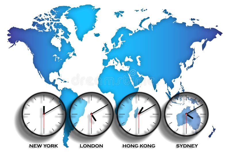
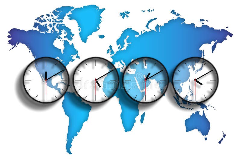
Free with trial An image of the world with clock faces showing different time zones on each one. The graphic also has an illustration of the world in map form showing each continent. It also shows four major world capitals, New York, London, Hong Kong, Sydney. Zealand map illustrations World map time zones. An image of the world with clock faces showing different time zones on each one. The graphic also has an illustration of the world in map form showing each continent. It also shows four major world capitals, New York, London, Hong Kong, Sydney
Free with trial Highly detailed map of the world photoshoped with reflection and tv scan lines and effects. Zealand map illustrations World Map. Highly detailed map of the world photoshoped with reflection and tv scan lines and effects.
Free with trial An image of the world with clock faces showing different time zones on each one. The graphic also has an illustration of the world in map form showing each continent. Zealand map illustrations World map time zones. An image of the world with clock faces showing different time zones on each one. The graphic also has an illustration of the world in map form showing each continent.
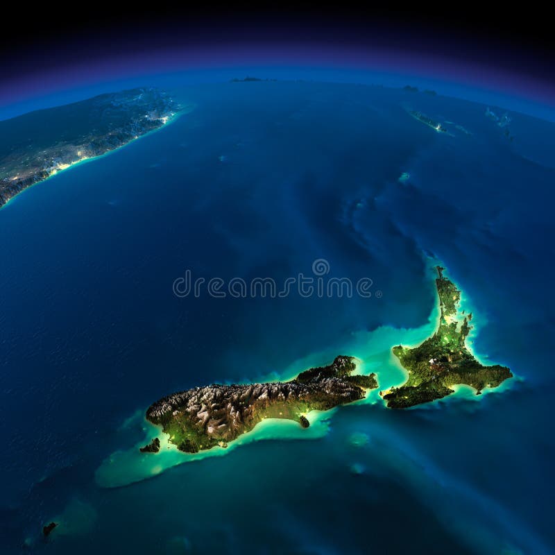
Free with trial Highly detailed Earth, illuminated by moonlight. The glow of cities sheds light on the detailed exaggerated terrain. Night Earth. Pacific - New Zealand. Elements of this image furnished by NASA. Zealand map illustrations Night Earth. Pacific - New Zealand
Free with trial Detailed retro political World Map. Highly detailed vector illustration of World Map. Zealand map vectors Detailed retro political World Map
Free with trial Denmark political map with capital Copenhagen and neighbor countries. Kingdom, Scandinavian and Nordic country in Europe. Gray illustration with English labeling on white background. Vector. Zealand map vectors Denmark political map
Free with trial Very detailed map of the world every continent in different color. Zealand map vectors Map of the World
Free with trial Black and white map of Australia illustration. Zealand map vectors Map of Australia illustration
Free with trial Vector World Map Outline Contour Silhouette with international borders - Asia in Center. Zealand map vectors Vector World Map Outline Contour Silhouette with international b
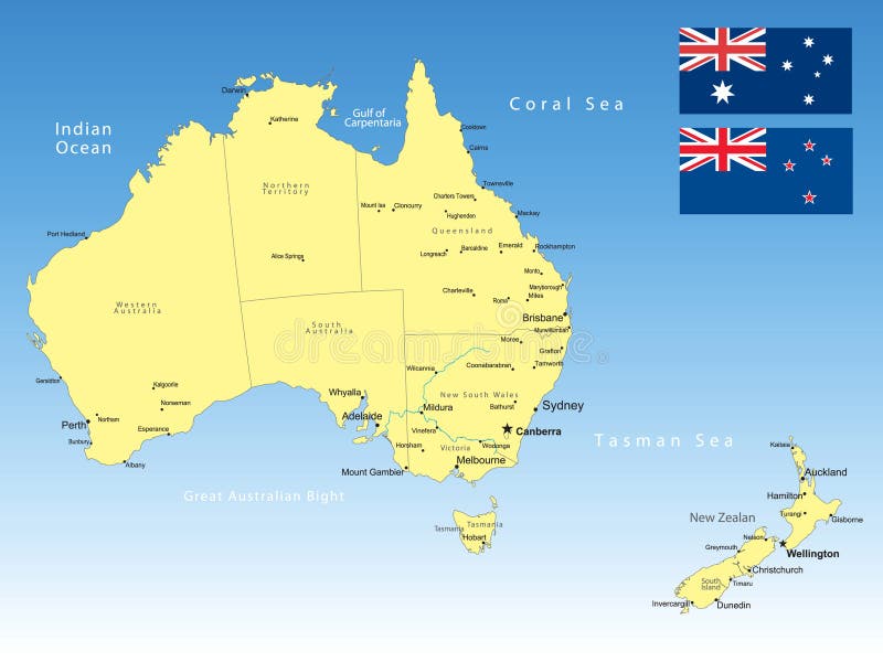
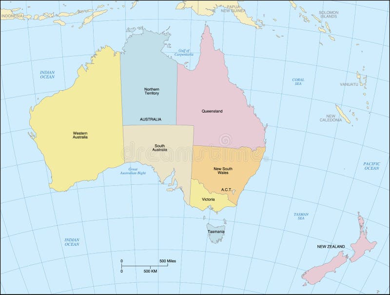
Free with trial Australia map showing countries, states, lat/long grid and oceans. Countries, states and oceans are labeled. Lambert Projection. Zealand map vectors Australia Map
Free with trial World Map Outline Contour Silhouette - Asia in Center. Zealand map vectors World Map Outline Contour Silhouette
Free with trial A set of four detailed isolated maps of New Zealand on a white background. Designed for the travel and tourism industry and includes the top ten NZ attractions, main cities and towns and top twenty things to do. Vector illustrations may be re-colored, edited and re-sized without loosing quality. Zealand map vectors New Zealand Tourism Vector Maps Set. A set of four detailed isolated maps of New Zealand on a white background. Designed for the travel and tourism industry and includes the top ten NZ attractions, main cities and towns and top twenty things to do. Vector illustrations may be re-colored, edited and re-sized without loosing quality.
Free with trial Old retro World Map with lakes and rivers. Highly detailed vector illustration of large political World Map. Zealand map vectors Old retro World Map with lakes and rivers
Free with trial World map made like a logo on brushed metal. Zealand map illustrations World map made like a logo on brushed metal
Free with trial Large detailed vintage color political World Map. Highly detailed vector illustration of World Map. Zealand map vectors Large detailed vintage color political World Map
Free with trial World Map Color Detailed - Asia in Center. Zealand map vectors Asia Center World Map Color. World Map Color Detailed - Asia in Center
Free with trial Oceania political map with countries. English labeling. Region, comprising Australia and the Pacific islands with the regions Melanesia, Micronesia and Polynesia. Gray illustration over white. Vector. Zealand map vectors Oceania political map
Free with trial Detailed World Map spot colored illustration. Highly detailed spot colored illustration of World Map: land contours, countries and land names, city names and water object names. Zealand map vectors Detailed World Map spot colored illustration
Free with trial Highly detailed vector illustration of world map. Image contains land contours, country and land names, city names, water object names. Zealand map vectors World Map - America in center. Highly detailed vector illustration of world map. Image contains land contours, country and land names, city names, water object names .
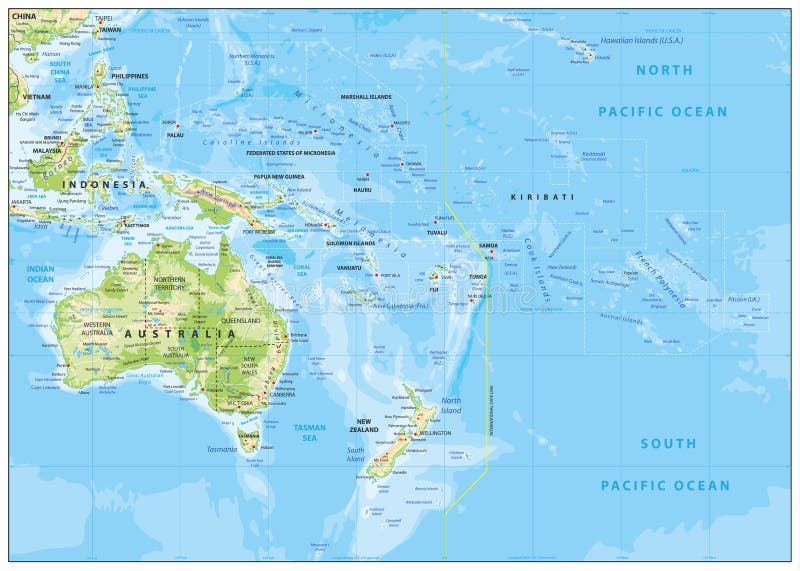
Free with trial Relief Map of Oceania. Names, town marks and national borders are in separate layers. Zealand map vectors Relief Map of Oceania