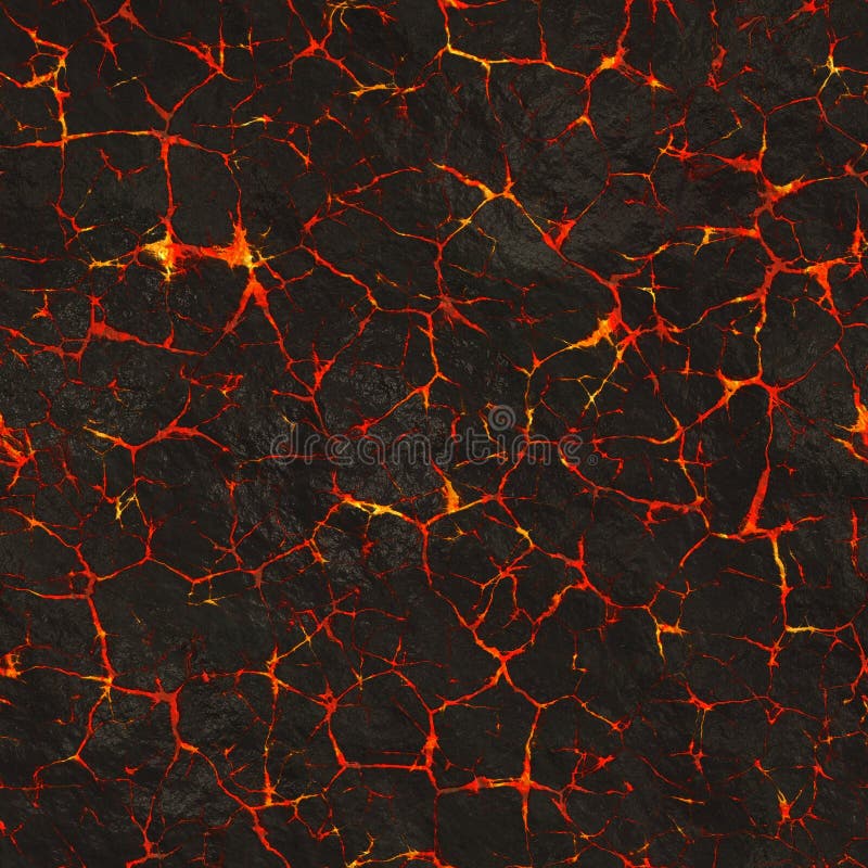
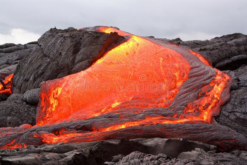
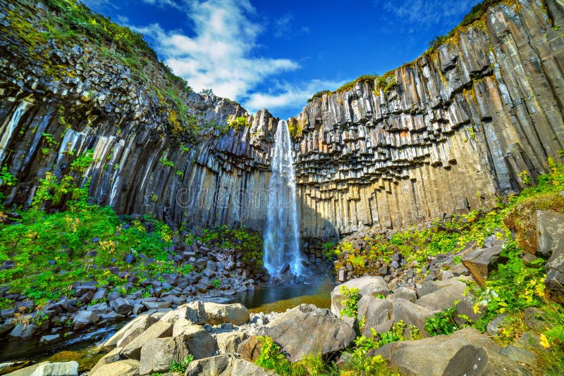
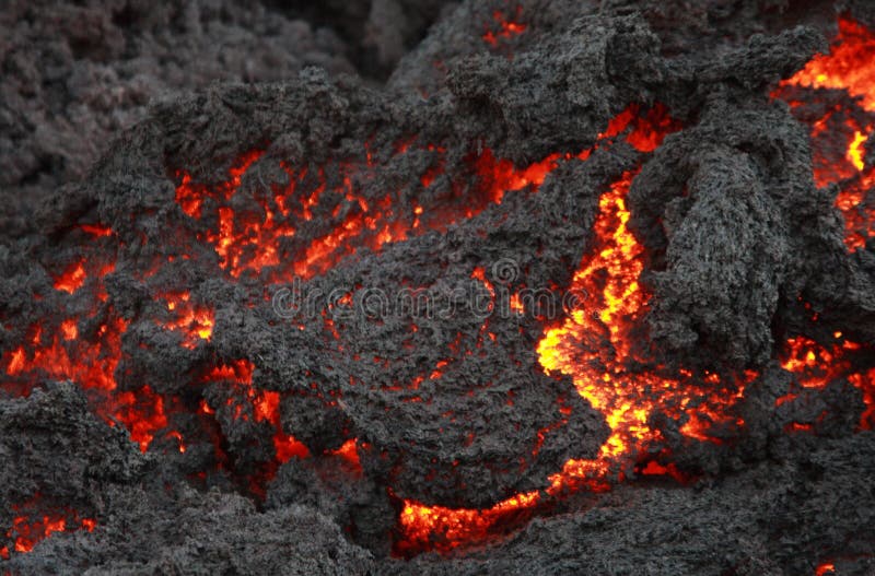
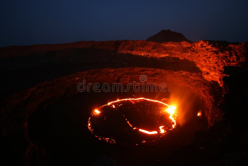
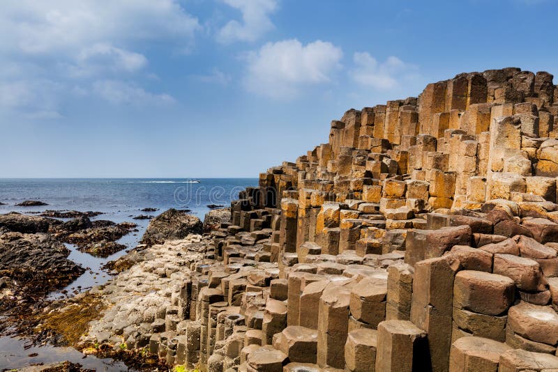
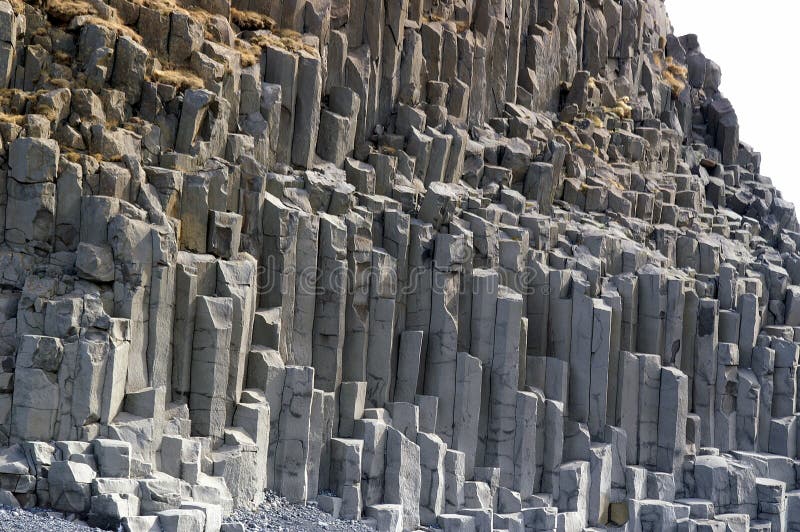
Search among 19,081 authentic basalt lava stock photos, high-definition images, and pictures, or look at other pali aike or paving stones stock images to enhance your presentation with the perfect visual.
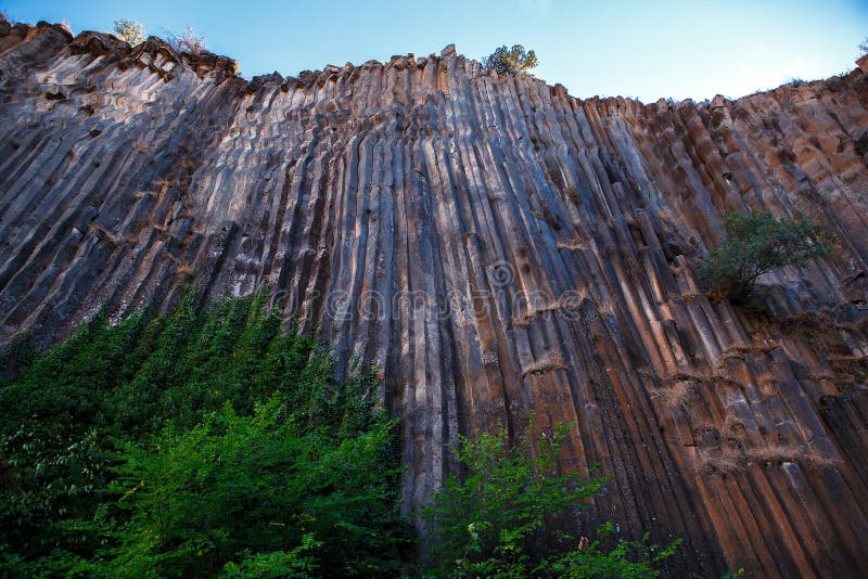
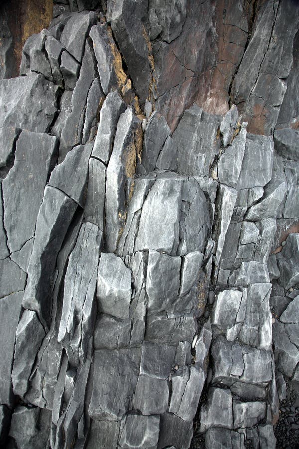
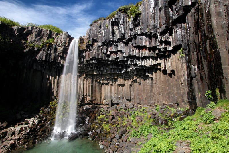
Reddish black volcanic basalt rock from the eruption of a shield volcano 11. 000 years ago. The photographer is at the bottom of a cooled former lava lake. Spring 2014, Newberry National Volcanic Monument, Washington, USA. Basalt lava stock images, royalty-free photos and pictures
Hotspot volcanic chain:Spatter cones and cinder cone rising above a landscape of black volcanic basalt rock from eruptions along the Great Volcanic Rift Zone, a line of cones and lava vents. Some plants survive in this environment. Spring 2014, Craters of the Moon National Monument and Preserve, Idaho, USA. Basalt lava stock images, royalty-free photos and pictures
Westward view from the Inferno Cone. A cinder cone rising above a landscape of black volcanic basalt rock and volcano domes from eruptions along the Great Volcanic Rift Zone within the last 12000 years. First species of plants and trees reconquered this harsh environment. Spring 2014, Craters of the Moon National Monument and Preserve, Idaho, USA. Basalt lava stock images, royalty-free photos and pictures
Sunlight highlighting waves crashing onto the hexagonal Basalt slabs of Giants Causeway, Antrim Coastline, Northern Ireland. The Giants causeway is the most popular tourist destination along the Antrim coast. It was formed millions of years ago by the rapid cooling of highly fluid molten Basalt Lava to form hexagonal basalt columns. The folk lore is that a Giant placed its foot there to step over the Atlantic Ocean to Scotland. Basalt lava stock images, royalty-free photos and pictures
The hexagonal Basalt slabs of Giants Causeway dipping into the sea, Antrim Coastline, Northern Ireland. The Giants causeway is the most popular tourist destination along the Antrim coast. It was formed millions of years ago by the rapid cooling of highly fluid molten Basalt Lava to form hexagonal basalt columns. The folk lore is that a Giant placed its foot there to step over the Atlantic Ocean to Scotland. Basalt lava stock images, royalty-free photos and pictures
Isolated igneous rock collection. The set includes from top left the following rocks scoria, pumice, gabbro, tuff, rhyolite, diorite, granite, andesite, basalt, obsidian, pegmatite, porphyry. Basalt lava stock images, royalty-free photos and pictures
The entrance to Fingals Cave. Staffa Inland, Inner Hebrides,Argii and Bute Scotland, UK Staffa (Scottish Gaelic: Stafa, pronounced [ˈs̪t̪afa], from the Old Norse for stave or pillar island) is an island of the Inner Hebrides in Argyll and Bute, Scotland. The Vikings gave it this name as its columnar basalt reminded them of their houses, which were built from vertically placed tree-logs. Staffa lies about 10 kilometres (6 mi) west of the Isle of Mull. The area is 33 hectares (82 acres) and the highest point is 42 metres (138 ft) above sea level. The island came to prominence in the late 18th century after a visit by Sir Joseph Banks. He and his fellow-travellers extolled the natural beauty of the basalt columns in general and of the island's main sea cavern, which Banks re-named 'Fingal's Cave'. Their visit was followed by those of many other prominent personalities throughout the next two centuries, including Queen Victoria and Felix Mendelssohn. The latter's Hebrides Overture brought further fame to the island, which was by then uninhabited. It is now in the care of the National Trust for Scotland. Staffa lies about 10 kilometres (6 mi) west of Mull and 9 km northeast of Iona. It is longitudinally oriented north-south and is a kilometre long by about half a kilometre wide. The circumference is about 3. 8 km in extent. In the northeast the isle shelves to a shore, but otherwise the coast is rugged. Basalt lava stock images, royalty-free photos and pictures

The entrance to Fingals Cave.Staffa Island,Inner Hebrides,Argyll-Bute, Scotland,UK. The entrance to Fingals Cave. Staffa Inland, Inner Hebrides,Argii and Bute Scotland, UK Staffa (Scottish Gaelic: Stafa, pronounced [ˈs̪t̪afa], from the Old Norse for stave or pillar island) is an island of the Inner Hebrides in Argyll and Bute, Scotland. The Vikings gave it this name as its columnar basalt reminded them of their houses, which were built from vertically placed tree-logs. Staffa lies about 10 kilometres (6 mi) west of the Isle of Mull. The area is 33 hectares (82 acres) and the highest point is 42 metres (138 ft) above sea level. The island came to prominence in the late 18th century after a visit by Sir Joseph Banks. He and his fellow-travellers extolled the natural beauty of the basalt columns in general and of the island's main sea cavern, which Banks re-named 'Fingal's Cave'. Their visit was followed by those of many other prominent personalities throughout the next two centuries, including Queen Victoria and Felix Mendelssohn. The latter's Hebrides Overture brought further fame to the island, which was by then uninhabited. It is now in the care of the National Trust for Scotland. Staffa lies about 10 kilometres (6 mi) west of Mull and 9 km northeast of Iona. It is longitudinally oriented north-south and is a kilometre long by about half a kilometre wide. The circumference is about 3.8 km in extent. In the northeast the isle shelves to a shore, but otherwise the coast is rugged

Lava Butte is a cinder cone that erupted 7000 years ago and poured out a lava field that covered some ten square miles of evergreen forest south of what is now Bend, Oregon, and displaced the Deschutes River as much as a mile west of its former path. This popular site for hikers and tourists is a part of the Newberry National Volcanic Monument, which encompasses numerous geologic features between Bend to the north and Lapine to the south. Basalt lava stock images, royalty-free photos and pictures
Lava Butte is a cinder cone that erupted 7000 years ago and poured out this lava field that covered some ten square miles of evergreen forest south of what is now Bend, Oregon, and in some places displaced the Deschutes River as much as a mile west of its former path. This popular site for hikers and tourists is a part of the Newberry National Volcanic Monument, which encompasses numerous geologic features between Bend to the north and Lapine to the south. Basalt lava stock images, royalty-free photos and pictures