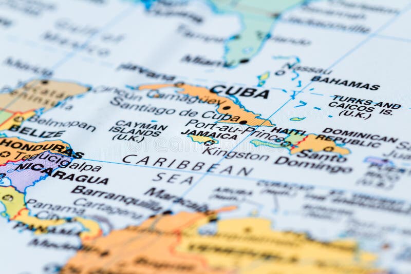
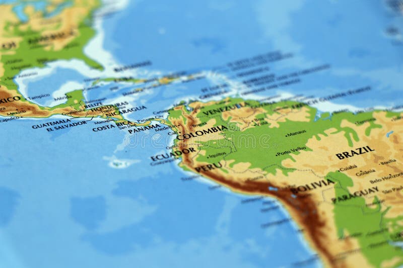
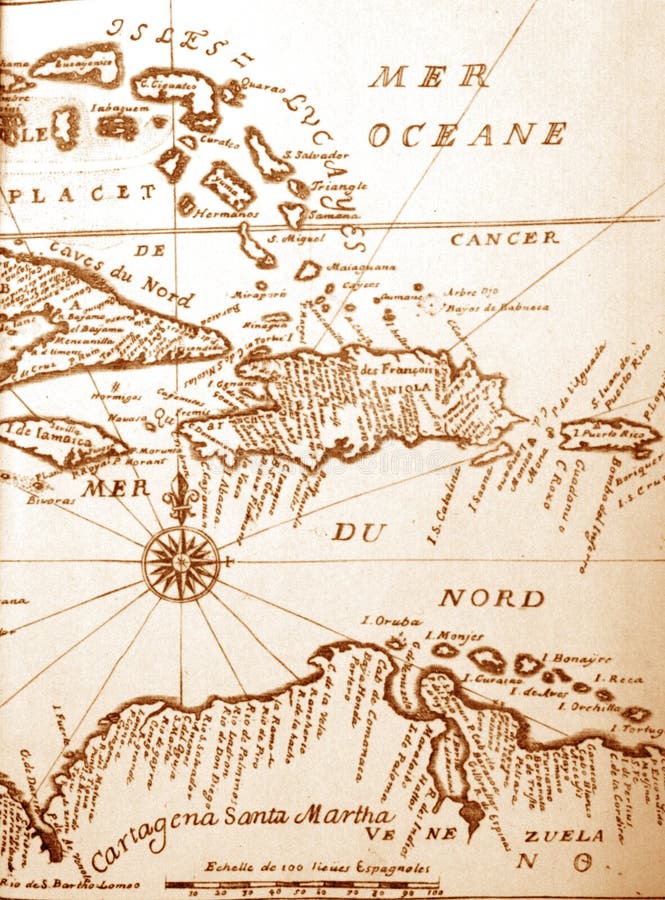
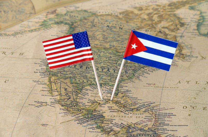
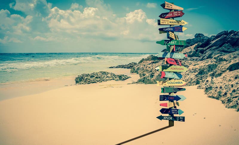
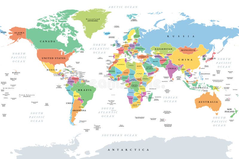
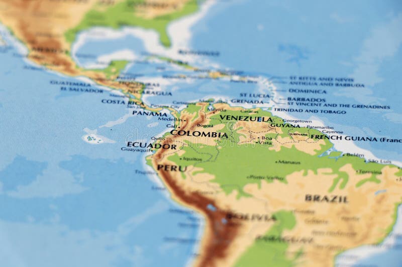
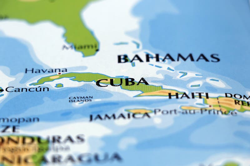
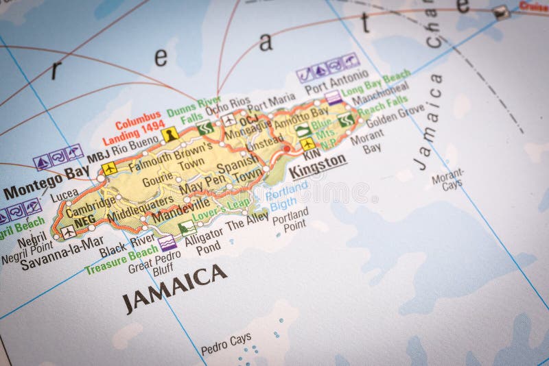
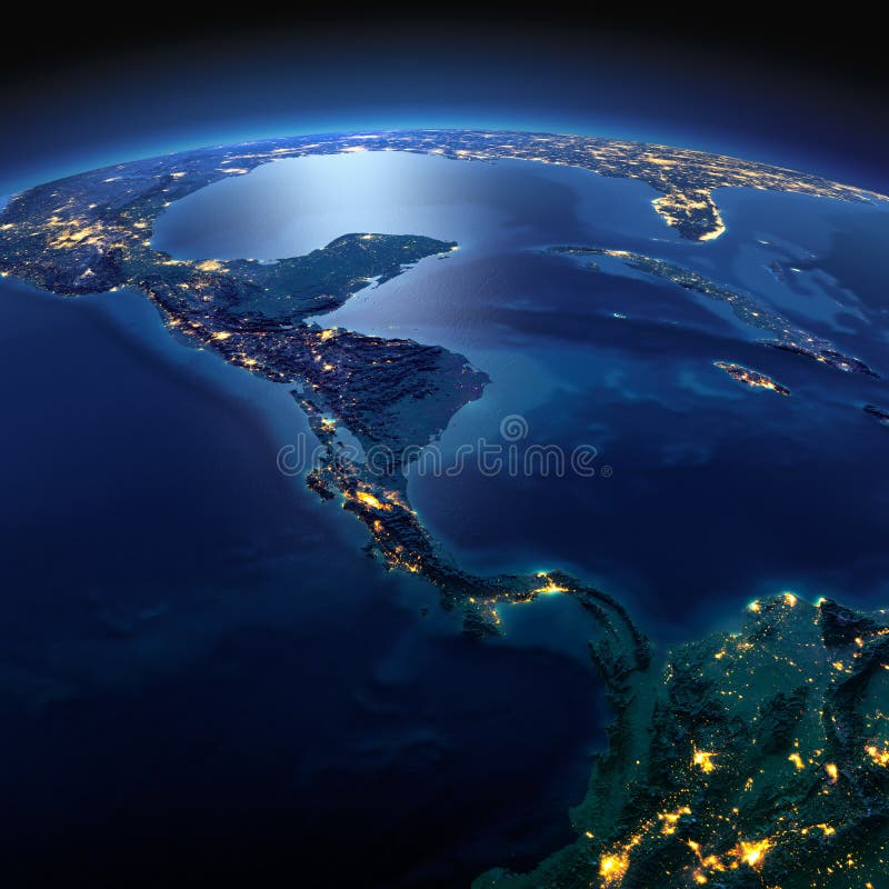
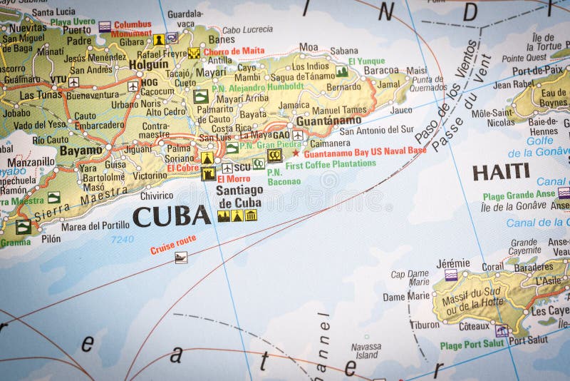
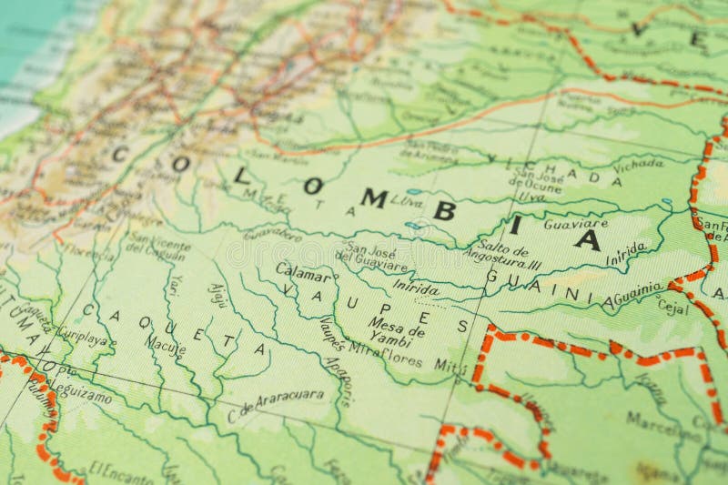
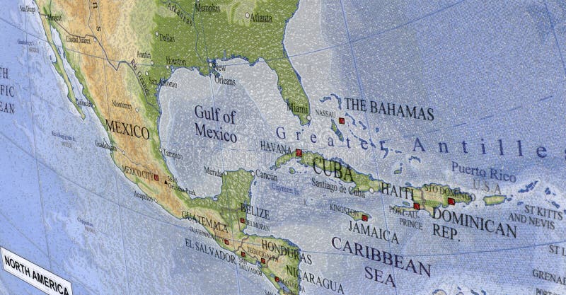
Search among 277 authentic caribbean countries map stock photos, high-definition images, and pictures, or look at other world map or political map stock images to enhance your presentation with the perfect visual.

Paper flag pin of Trinidad and Tobago on a world map showing neighboring countries. Officially the Republic of Trinidad and Tobago, it is a twin island sovereign state that is the southernmost nation in the Caribbean. Concept image. Caribbean countries map stock images, royalty-free photos and pictures
Paper flag pin of Nicaragua on a world map showing neighboring countries. Officially the Republic of Nicaragua, it is the largest country in the Central American isthmus, bordered by Honduras to the north, the Caribbean to the east, Costa Rica to the south, and the Pacific Ocean to the west. Concept image. Caribbean countries map stock images, royalty-free photos and pictures
Orographic map of the Caribbean and the Antilles. With references in Spanish. Concept of cartography, travel, tourism, geography. Differential focus. Caribbean countries map stock images, royalty-free photos and pictures
Paper flag pin of the Dominican Republic on a world map showing neighboring countries. It is a sovereign state located in the island of Hispaniola, in the Greater Antilles archipelago of the Caribbean region. Concept image. Caribbean countries map stock images, royalty-free photos and pictures
A map shows the location of Cuba in the Caribbean. The Cuban flag design is overlaid on the map, highlighting the island's geographic position among nearby countries. Caribbean countries map stock images, royalty-free photos and pictures
Caribbean Sea map showing the West Indies, Greater Antilles, Cuba, Haiti, Dominican Republic, Puerto Rico, and Central American countries like Mexico, Belize, and Nicaragua in a detailed view. Caribbean countries map stock images, royalty-free photos and pictures
An old, roll-down school wall map, titled "AMERICA SETTENTRIONALE POLITICA" (Political North America) in Italian. The map details political divisions of North and Central America, including the USA, Canada, Mexico, and the Caribbean, with a scale of 1:18,000,000. It hangs on a light grey wall. Caribbean countries map stock images, royalty-free photos and pictures