
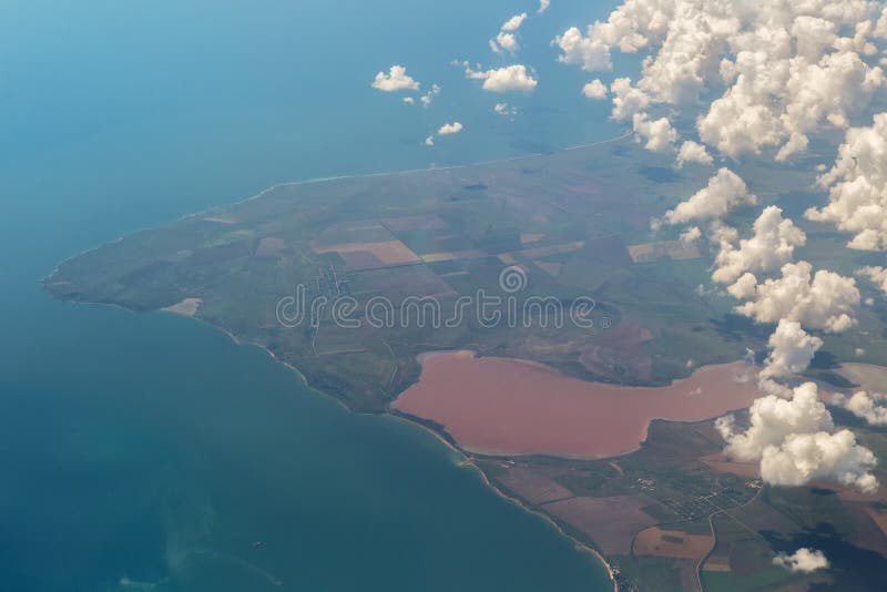
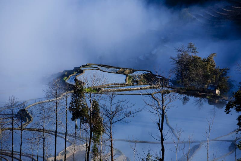
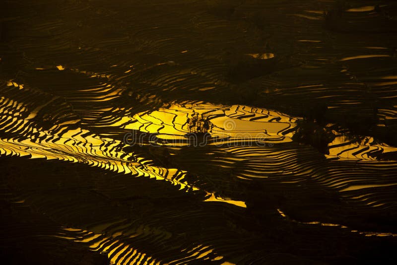
Mountains Separated Images, Pictures And Stock Photos
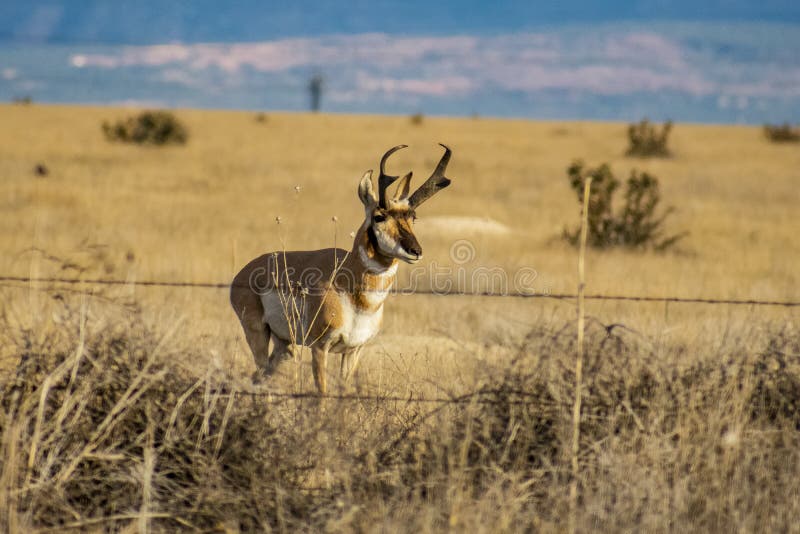
Search among 843 authentic mountains separated stock photos, high-definition images, and pictures, or look at other united states or horn mountains stock images to enhance your presentation with the perfect visual.


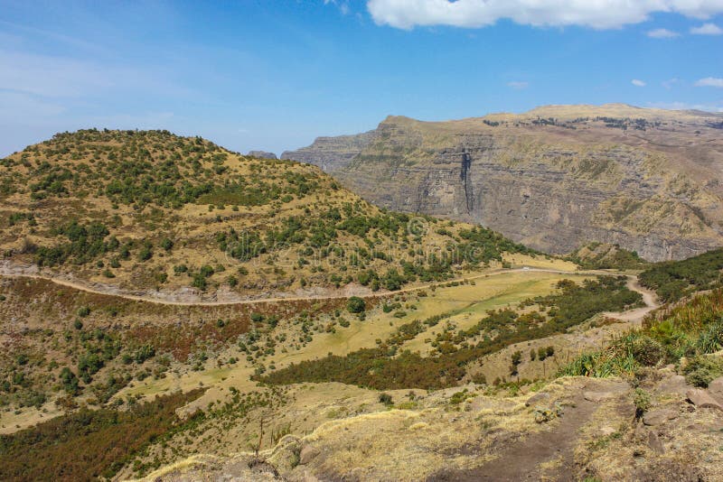


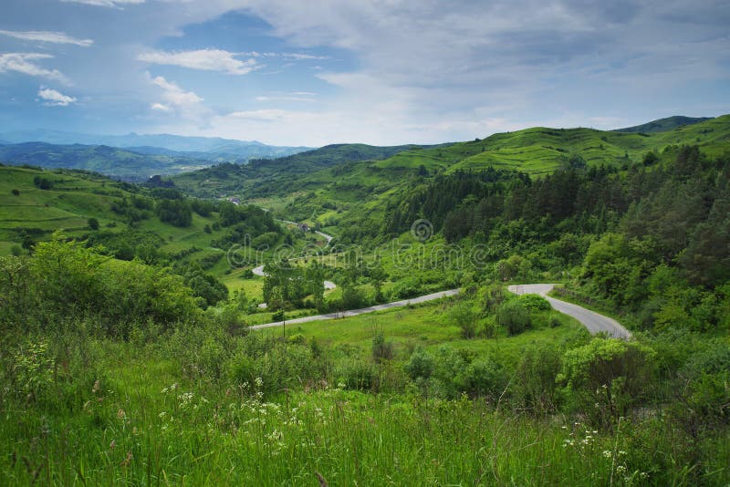

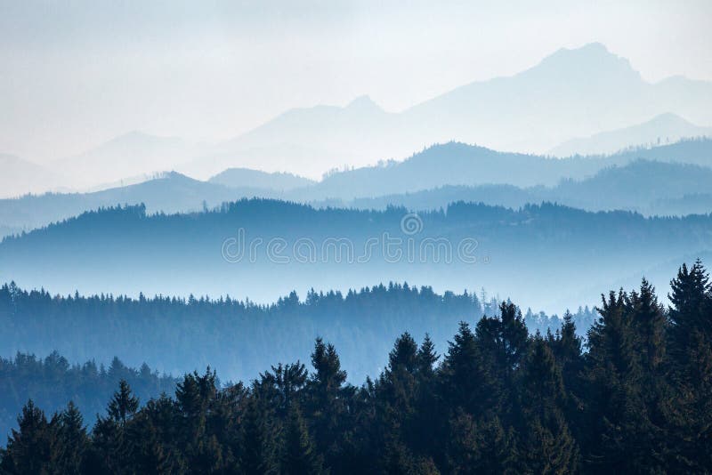


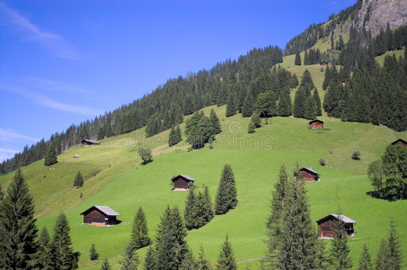


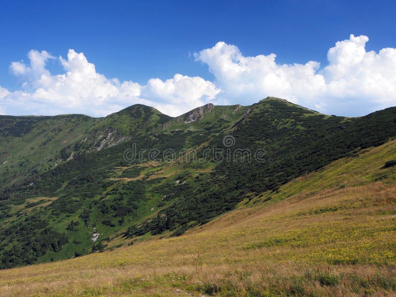


![Neelum Valley (also spelled Neelam Valley) (Urdu: وادیِ نیلم ) is a 144 km long bow-shaped thick forested region in Azad Kashmir, Pakistan. [1] It is named after the Neelam river, which flows through the length of the valley. [2] The valley is situated in the north-east of Muzaffarabad, running parallel to Kaghan Valley. The two valleys are only separated by snow-covered peaks, some over 4,000 meters (13,000 ft) above sea level. Mountains separated stock images, royalty-free photos and pictures](https://thumbs.dreamstime.com/b/hard-to-travel-neelum-valley-also-spelled-neelam-valley-x-urdu-ùû-ùûùù-â-km-long-bow-shaped-thick-79578297.jpg)
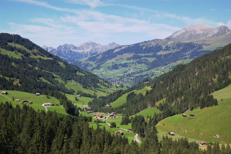
![Neelum Valley (also spelled Neelam Valley) (Urdu: وادیِ نیلم ) is a 144 km long bow-shaped thick forested region in Azad Kashmir, Pakistan. [1] It is named after the Neelam river, which flows through the length of the valley. [2] The valley is situated in the north-east of Muzaffarabad, running parallel to Kaghan Valley. The two valleys are only separated by snow-covered peaks, some over 4,000 meters (13,000 ft) above sea level. Mountains separated stock images, royalty-free photos and pictures](https://thumbs.dreamstime.com/b/take-me-to-clouds-neelum-valley-also-spelled-neelam-valley-x-urdu-ùû-ùûùù-â-km-long-bow-shaped-thick-79577058.jpg)


