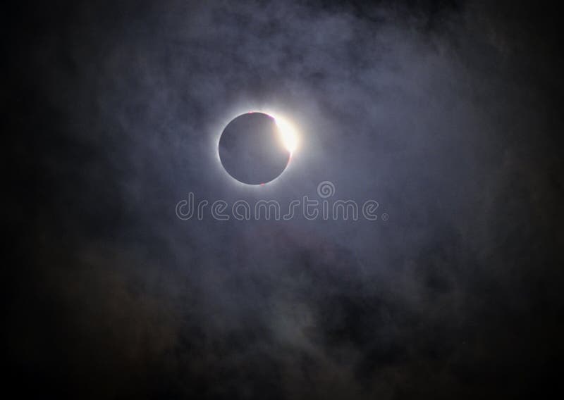
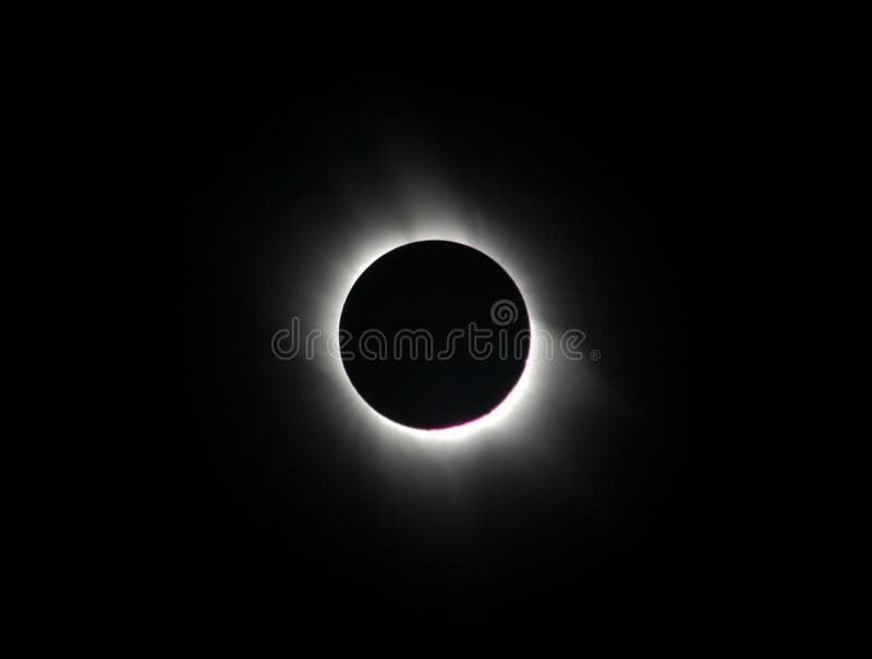
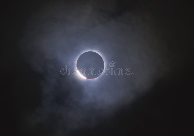
Prominence Images, Pictures And Stock Photos
Search among 5,978 authentic prominence stock photos, high-definition images, and pictures, or look at other solar prominence or solar flare stock images to enhance your presentation with the perfect visual.


![The entrance to Fingals Cave. Staffa Inland, Inner Hebrides,Argii and Bute Scotland, UK Staffa (Scottish Gaelic: Stafa, pronounced [ˈs̪t̪afa], from the Old Norse for stave or pillar island) is an island of the Inner Hebrides in Argyll and Bute, Scotland. The Vikings gave it this name as its columnar basalt reminded them of their houses, which were built from vertically placed tree-logs. Staffa lies about 10 kilometres (6 mi) west of the Isle of Mull. The area is 33 hectares (82 acres) and the highest point is 42 metres (138 ft) above sea level. The island came to prominence in the late 18th century after a visit by Sir Joseph Banks. He and his fellow-travellers extolled the natural beauty of the basalt columns in general and of the island's main sea cavern, which Banks re-named 'Fingal's Cave'. Their visit was followed by those of many other prominent personalities throughout the next two centuries, including Queen Victoria and Felix Mendelssohn. The latter's Hebrides Overture brought further fame to the island, which was by then uninhabited. It is now in the care of the National Trust for Scotland. Staffa lies about 10 kilometres (6 mi) west of Mull and 9 km northeast of Iona. It is longitudinally oriented north-south and is a kilometre long by about half a kilometre wide. The circumference is about 3. 8 km in extent. In the northeast the isle shelves to a shore, but otherwise the coast is rugged. Prominence stock images, royalty-free photos and pictures](https://thumbs.dreamstime.com/b/entrance-to-fingals-cave-staffa-inland-inner-hebrides-scotland-uk-32109192.jpg)


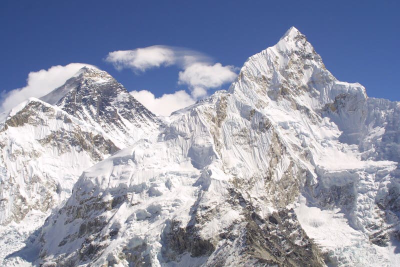
![Panoramic view of Mount Everest, Lhotse and Nuptse. Photo has been taken December 2013 from Kala Patthar. Kala Patthar, meaning 'black rock' in Nepali and Hindi, is a notable landmark located on the south ridge Pumori (7,161 m or 23,494 ft) in the Nepalese Himalayas. Although not a proper mountain with a prominence of only (10 m or 33 ft),[1] the ascent of Kala Patthar is very popular with trekkers in the region of Mount Everest, since it provides the most accessible point to view Mt. Everest from base camp to peak (due to the structure of Everest, the peak cannot be seen from the base camp). The views of Everest, Nuptse Nup II and Changtse are spectacular from Kala Patthar and there are glimpses of the northern flank and summit of Lhotse. The world's highest webcam, Mount Everest webcam, is located here. Prominence stock images, royalty-free photos and pictures](https://thumbs.dreamstime.com/b/himalayas-panoramic-view-mount-everest-lhotse-nuptse-photo-has-been-taken-december-kala-patthar-kala-patthar-meaning-42287831.jpg)
![Panoramic view of Mount Everest, Lhotse and Nuptse. Photo has been taken December 2013 from Kala Patthar. Kala Patthar, meaning 'black rock' in Nepali and Hindi, is a notable landmark located on the south ridge Pumori (7,161 m or 23,494 ft) in the Nepalese Himalayas. Although not a proper mountain with a prominence of only (10 m or 33 ft),[1] the ascent of Kala Patthar is very popular with trekkers in the region of Mount Everest, since it provides the most accessible point to view Mt. Everest from base camp to peak (due to the structure of Everest, the peak cannot be seen from the base camp). The views of Everest, Nuptse Nup II and Changtse are spectacular from Kala Patthar and there are glimpses of the northern flank and summit of Lhotse. The world's highest webcam, Mount Everest webcam, is located here. Prominence stock images, royalty-free photos and pictures](https://thumbs.dreamstime.com/b/himalayas-panoramic-view-mount-everest-lhotse-nuptse-photo-has-been-taken-december-kala-patthar-kala-patthar-meaning-42287654.jpg)


![Staffa Island, Inland, Inner Hebrides, near Mull, Argyll and Bute, Scotland, UK Staffa (Scottish Gaelic: Stafa, pronounced [ˈs̪t̪afa], from the Old Norse for stave or pillar island) is an island of the Inner Hebrides in Argyll and Bute, Scotland. The Vikings gave it this name as its columnar basalt reminded them of their houses, which were built from vertically placed tree-logs. Staffa lies about 10 kilometres (6 mi) west of the Isle of Mull. The area is 33 hectares (82 acres) and the highest point is 42 metres (138 ft) above sea level. The island came to prominence in the late 18th century after a visit by Sir Joseph Banks. He and his fellow-travellers extolled the natural beauty of the basalt columns in general and of the island's main sea cavern, which Banks re-named 'Fingal's Cave'. Their visit was followed by those of many other prominent personalities throughout the next two centuries, including Queen Victoria and Felix Mendelssohn. The latter's Hebrides Overture brought further fame to the island, which was by then uninhabited. It is now in the care of the National Trust for Scotland. Staffa lies about 10 kilometres (6 mi) west of Mull and 9 km northeast of Iona. It is longitudinally oriented north-south and is a kilometre long by about half a kilometre wide. The circumference is about 3. 8 km in extent. In the northeast the isle shelves to a shore, but otherwise the coast is rugged and. Prominence stock images, royalty-free photos and pictures](https://thumbs.dreamstime.com/b/staffa-island-inland-inner-hebrides-scotland-uk-near-mull-32142810.jpg)