Search among 151 authentic tisa danube stock photos, high-definition images, and pictures, or look at other few kilometers or danube delta stock images to enhance your presentation with the perfect visual.

Free with trial
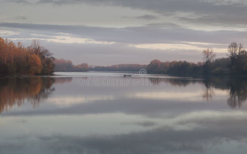
Tisa river in autumn november afternoon. colours and atmosphere on the photo make a real nice image. The Tisza begins near Rakhiv in Ukraine, at the confluence of the White Tisa and Black Tisa (the former springs in the Chornohora mountains; the latter in the Gorgany range). From there, the Tisza flows west, roughly following Ukraine's borders with Romania, then Hungary, and finally Serbia. It enters Hungary at Tiszabecs. It traverses Hungary from north to south. A few kilometers south of the Hungarian city of Szeged, it enters Serbia. Finally, it joins the Danube near the village of Novi Slankamen in Vojvodina, Serbia. Tisa danube stock images, royalty-free photos and pictures
Free with trial
Tisa river in autumn november afternoon with one fisher boat who is coming back to marina from fishing. colours and atmosphere on the photo make a real nice image. The Tisza begins near Rakhiv in Ukraine, at the confluence of the White Tisa and Black Tisa (the former springs in the Chornohora mountains; the latter in the Gorgany range). From there, the Tisza flows west, roughly following Ukraines borders with Romania, then Hungary, and finally Serbia. It enters Hungary at Tiszabecs. It traverses Hungary from north to south. A few kilometers south of the Hungarian city of Szeged, it enters Serbia. Finally, it joins the Danube near the village of Novi Slankamen in Vojvodina, Serbia. Tisa danube stock images, royalty-free photos and pictures
Free with trial
Szeged is situated near the southern border of Hungary, just to the south of the mouth of the Maros River, on both banks of the Tisza River, nearly in the centre of the Carpathian Basin. The Hungarian frontier with Serbia is just outside the town. The Tisza, Tysa or Tisa, is one of the major rivers of Central and Eastern Europe. It was once called "the most Hungarian river" because it used to flow entirely within the Kingdom of Hungary. Today, it crosses several national borders. The Tisza begins near Rakhiv in Ukraine, flows west, roughly following Ukraine's borders with Romania and Hungary, then briefly as the border between Slovakia and Hungary. The Tisza enters Hungary at Tiszabecs, traversing the country from north to south. A few kilometers south of the Hungarian city of Szeged, it enters Serbia. Finally, it joins the Danube near the village of Stari Slankamen in Vojvodina, Serbia. Tisa danube stock images, royalty-free photos and pictures
Free with trial
Kecskemet is located in the central part of Hungary. The city is 86 kilometers south of the capital Budapest. It is connected to Budapest by good traffic connections. Kecskemet is located in the central part of the Pannonian Plain and has no river. It is equally distant from the Danube and Tisa — about 40 km. The climate in the city is moderately continental. Keckemet was located on an important trade route and therefore developed faster than other settlements, becoming an important trading center. It was inhabited before Arpad. It received the title of the city of Kecskemet in 1368 during the reign of the Hungarian king Lajos the Great. Tisa danube stock images, royalty-free photos and pictures
Free with trial
Szeged is situated near the southern border of Hungary, just to the south of the mouth of the Maros River, on both banks of the Tisza River, nearly in the centre of the Carpathian Basin. The Hungarian frontier with Serbia is just outside the town. The Tisza, Tysa or Tisa, is one of the major rivers of Central and Eastern Europe. It was once called "the most Hungarian river" because it used to flow entirely within the Kingdom of Hungary. Today, it crosses several national borders. The Tisza begins near Rakhiv in Ukraine, flows west, roughly following Ukraine's borders with Romania and Hungary, then briefly as the border between Slovakia and Hungary. The Tisza enters Hungary at Tiszabecs, traversing the country from north to south. A few kilometers south of the Hungarian city of Szeged, it enters Serbia. Finally, it joins the Danube near the village of Stari Slankamen in Vojvodina, Serbia. Tisa danube stock images, royalty-free photos and pictures
Free with trial
Big artificialy made Canal, like huge river in Vojvodina, Serbia, part of irrigation sistem Danube-Tisa-Danube, Great Backa Canal in Backo Gradiste. Tisa danube stock images, royalty-free photos and pictures