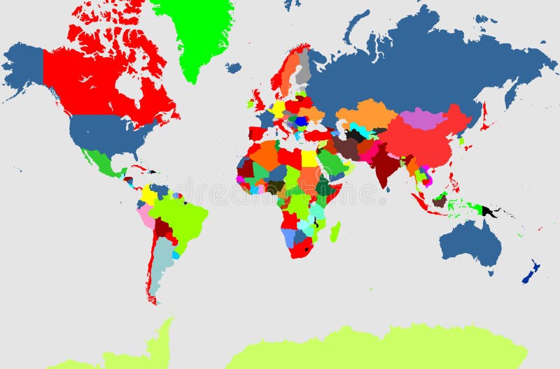
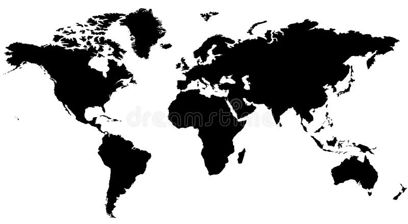
Free with trial World map vector. World map. Map of the world. World map illustration. Black world map. Antarctica vectors World map vector. World map. Map of the world. World map illustration. Black world map. World map
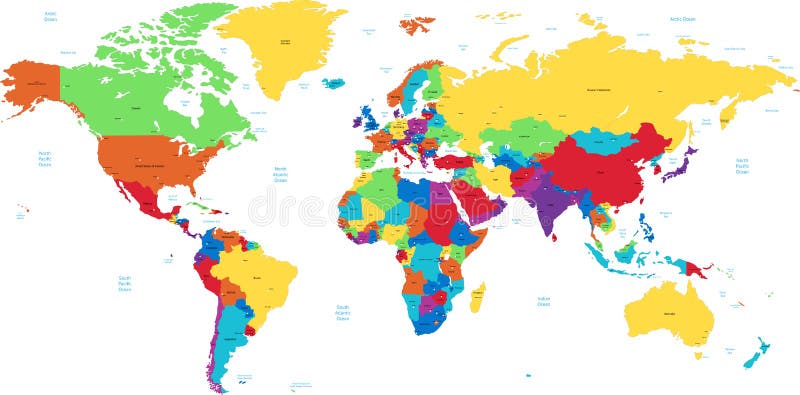
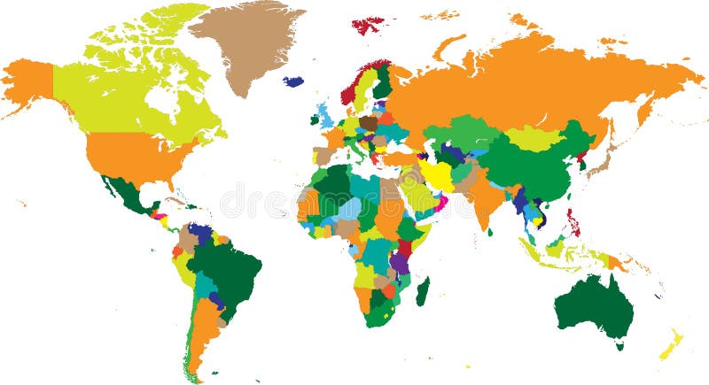
Free with trial Map of the world. A vector illustration of map of the world. Antarctica vectors Map of the world. A vector illustration of map of the world
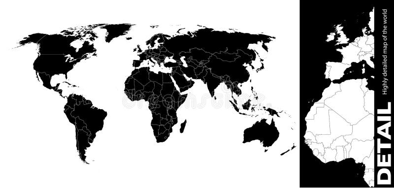
Free with trial Hi Detail Black Vector Political World Map illustration. High Detail Vector Political World Map illustration, cleverly organized with layers. Antarctica vectors Hi Detail Black Vector Political World Map illustration. High Detail Vector Political World Map illustration, cleverly organized with layers
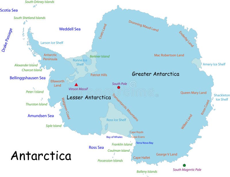
Free with trial Antarctica map designed in illustration with the names place. Antarctica vectors Antarctica map. Designed in illustration with the names place
Free with trial Antarctica Political Map with south pole, scientific research stations and ice shelfs. English labeling and scaling. Illustration. Antarctica vectors Antarctica Political Map. With south pole, scientific research stations and ice shelfs. English labeling and scaling. Illustration
Free with trial Vectored illustration of standing penguin, a symbolic animal for many countries and territories as antarctica, falkland islands and southern chile. Antarctica vectors Penguin vector silhouette. Vectored illustration of standing penguin, a symbolic animal for many countries and territories as antarctica, falkland islands and. Vectored illustration of standing penguin, a symbolic animal for many countries and territories as antarctica, falkland islands and southern chile.
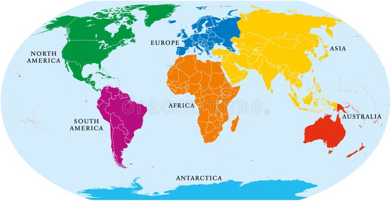
Free with trial Seven continents world map. Asia, Africa, North and South America, Antarctica, Europe and Australia. Detailed map with shorelines and national borders under Robinson projection on white background. Antarctica vectors Seven Continents World Map. Asia, Africa, North and South America, Antarctica, Europe and Australia. Detailed map with shorelines and national borders under
Free with trial World Continents(Vector). Accurate map onto a globe. Includes Antarctica, Arctic, Atlantic. Details include small island chains, lakes and seas. Antarctica vectors World Continents (Vector also). World Continents(Vector). Accurate map onto a globe. Includes Antarctica, Arctic, Atlantic. Details include small island chains. World Continents(Vector). Accurate map onto a globe. Includes Antarctica, Arctic, Atlantic. Details include small island chains, lakes and seas.
Free with trial Vector clip art map atlas of the world, with all countries and borders showing. Colored in thermal raibow gradients. Antarctica is included. Reference source:. Antarctica vectors Thermal World Map. Vector clip art map atlas of the world, with all countries and borders showing. Colored in thermal raibow gradients. Antarctica is included. Vector clip art map atlas of the world, with all countries and borders showing. Colored in thermal raibow gradients. Antarctica is included. Reference source:
Free with trial Vector clip art map of the world, with all countries and borders showing. Continents are distinctively colored. Antarctica is included. Reference source:. Antarctica vectors Atlas of Continents. Vector clip art map of the world, with all countries and borders showing. Continents are distinctively colored. Antarctica is included. Vector clip art map of the world, with all countries and borders showing. Continents are distinctively colored. Antarctica is included. Reference source:
Free with trial Accurate map of the world. Includes Antarctica. Maps to a sphere to make a globe accurately to latitude and longitude. Also includes many islands - Hawaii, Aleutians, Galapagos, Maldives, Canary, etc. The largest lakes and seas included. Particular care taken to make the arctic and antarctic map correctly to a sphere. Antarctica vectors Neutral World High Detail. Accurate map of the world. Includes Antarctica. Maps to a sphere to make a globe accurately to latitude and longitude. Also includes. Accurate map of the world. Includes Antarctica. Maps to a sphere to make a globe accurately to latitude and longitude. Also includes many islands - Hawaii, Aleutians, Galapagos, Maldives, Canary, etc. The largest lakes and seas included. Particular care taken to make the arctic and antarctic map correctly to a sphere.
Free with trial Vector clip art map of the world, with all countries and borders showing. Continents are distinctively colored. Antarctica is included. Reference source:. Antarctica vectors Atlas of Colored Continents. Vector clip art map of the world, with all countries and borders showing. Continents are distinctively colored. Antarctica is. Vector clip art map of the world, with all countries and borders showing. Continents are distinctively colored. Antarctica is included. Reference source:
Free with trial Outlined vector map of the world. High quality Outlined vector map of the world with only straight lines. Antarctica vectors Outlined vector map of the world. High quality Outlined vector map of the world with only straight lines
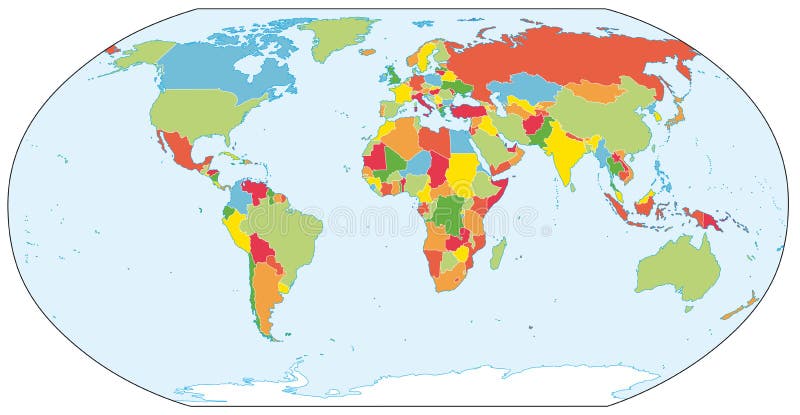
Free with trial Color Political World Map Illustration. Antarctica vectors Colored World Map. Color Political World Map Illustration. Color Political World Map Illustration.
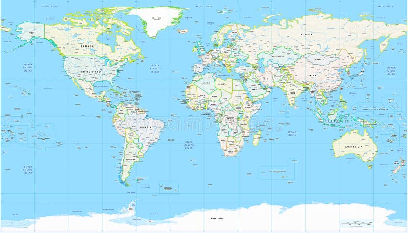
Free with trial Detailed Physical World Map with all names of countries, cities and capitals, river, lake, oceans, seas, islands, South Pole and North Pole. Antarctica vectors World Map Detailed Physical Map. Detailed Physical World Map with all names of countries, cities and capitals, river, lake, oceans, seas, islands, South Pole and. Detailed Physical World Map with all names of countries, cities and capitals, river, lake, oceans, seas, islands, South Pole and North Pole
Free with trial Detailed world map , Vector. Detailed world map with countries and cities. Antarctica vectors Detailed world map , Vector. Detailed world map with countries and cities
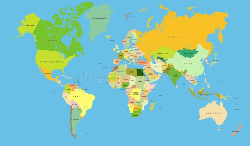
Free with trial Detailed Political World Map with all names of countries, cities and capitals, river, lake, oceans, seas, islands, South Pole and North Pole. Antarctica vectors World Map Detailed Political Map. Detailed Political World Map with all names of countries, cities and capitals, river, lake, oceans, seas, islands, South Pole. Detailed Political World Map with all names of countries, cities and capitals, river, lake, oceans, seas, islands, South Pole and North Pole
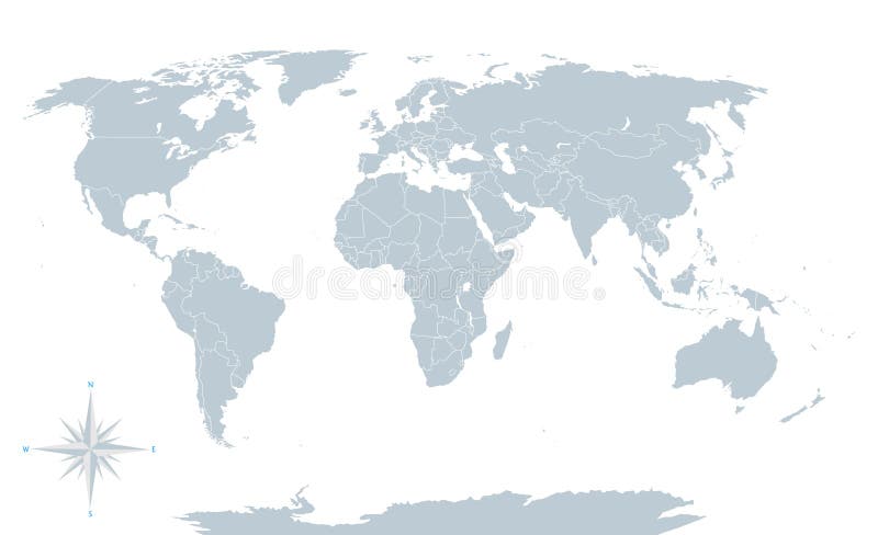
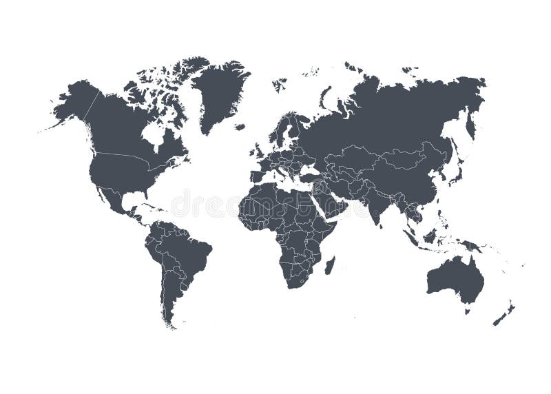
Free with trial Political world map, grey, with white borders. Every state and continent labeled and selectable. Versatile file, turn on an off visibility and color of each country in one click. Antarctica vectors Political world map, grey, with white borders. Every state and continent labeled and selectable. Versatile file, turn on an off visibility and color of each
Free with trial All the six continents of the world. Vectorial illustration of all continents of the world. Antarctica vectors All the six continents of the world. Vectorial illustration of all continents of the world
Free with trial Simple world map with countries. Silhouette of the world map with country boundaries. Antarctica vectors Simple world map with countries. Silhouette of the world map with country boundaries
Free with trial Seven Continents. Black images of the seven continents of the world. Antarctica vectors Seven Continents. Black images of the seven continents of the world
Free with trial Iceberg vector icon. On white background. Antarctica vectors Iceberg vector icon. On white background
Free with trial World map. Illustration with grids - vector. Antarctica vectors World map. Illustration with grids - vector
Free with trial World physical map. Robinson projection, centered on Africa, colored according to elevation, with contour lines, rivers and ocean depths. Isolated on white with clipping path. Fully editable vector version with 22 layers available. Antarctica vectors Globe centered on Africa. World physical map. Robinson projection, centered on Africa, colored according to elevation, with contour lines, rivers and ocean. World physical map. Robinson projection, centered on Africa, colored according to elevation, with contour lines, rivers and ocean depths. Isolated on white with clipping path. Fully editable vector version with 22 layers available.
Free with trial Map of the world. Extra detailed map of the world. Antarctica vectors Map of the world. Extra detailed map of the world
Free with trial Baby penguin sketch. Baby penguin small and cute is in full growth is symmetrical, the sketch vector graphics black and white drawing. Antarctica vectors Baby penguin sketch. Baby penguin small and cute is in full growth is symmetrical, the sketch vector graphics black and white drawing
Free with trial World map countries in vectors. World map with countries in vector format. Antarctica vectors World map countries in vectors. World map with countries in vector format
Free with trial Igloo. Illustration of an nice igloo. Antarctica vectors Igloo. Illustration of an nice igloo
Free with trial Iceberg. Illustration of an iceberg above and below the water line + vector eps file. Antarctica vectors Iceberg. Illustration of an iceberg above and below the water line + vector eps file
Free with trial Sea lion. Illustration of a happy seal with a colored ball. Antarctica vectors Sea lion. Illustration of a happy seal with a colored ball
Free with trial World map Illustration, world map showing the 7 continents. Antarctica vectors World map. Illustration, showing the 7 continents. World map Illustration, world map showing the 7 continents
Free with trial World Map. A world map background illustration. Antarctica vectors World Map. A world map background illustration
Free with trial Extra detailed map of the world. Vector. Antarctica vectors Extra detailed map of the world. Vector
Free with trial Cute penguin set. Cartoon penguin christmas set. Vector Illustration. Antarctica vectors Cute penguin set. Cartoon penguin christmas set. Vector Illustration
Free with trial Map of the world. Highly detailed map of the world. Antarctica vectors Map of the world. Highly detailed map of the world
Free with trial Iceberg illustration. Iceberg in water illustration in vector. Antarctica vectors Iceberg illustration. Iceberg in water illustration in vector
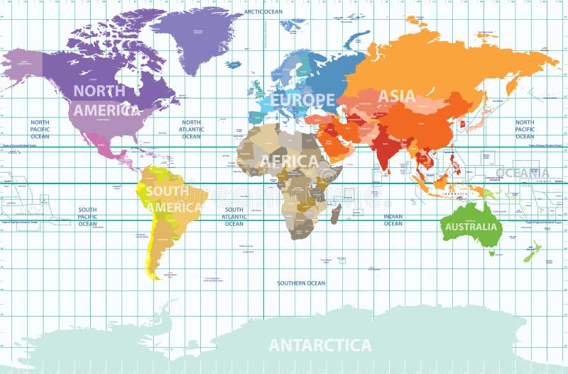
Free with trial Vector political map of the world with all continents separated by color, labeled countries and oceans, and with enumerated longitudes and latitudes on background. Antarctica vectors Political map of the world with all continents separated by color, labeled countries and oceans, and with enumerated longitudes an. Vector political map of the. Vector political map of the world with all continents separated by color, labeled countries and oceans, and with enumerated longitudes and latitudes on background
Free with trial Christmas penguins card. Christmas background with penguins and snowflakes. Antarctica vectors Christmas penguins card. Christmas background with penguins and snowflakes
Free with trial Illustrated world political map in vector. Included present political borders. Antarctica vectors Actual world political map. Illustrated world political map in vector. Included present political borders. Illustrated world political map in vector. Included present political borders.
Free with trial Illustrated world map with coordinates in vector. Included present political borders. Antarctica vectors World map with coordinates. Illustrated world map with coordinates in vector. Included present political borders. Illustrated world map with coordinates in vector. Included present political borders.
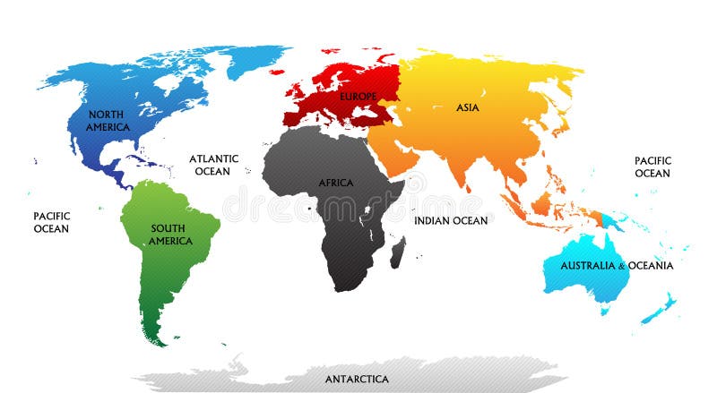
Free with trial World map with highlighted continents in different colors. All labels are in the separate layer. Antarctica vectors World map with highlighted continents. In different colors. All labels are in the separate layer
Free with trial Funny cartoon world map with traditional animals of all the continents and oceans. Vector illustration for preschool education. And kids design. Antarctica vectors Funny cartoon world map with traditional animals of all the continents and oceans. Vector illustration for preschool education. And kids design
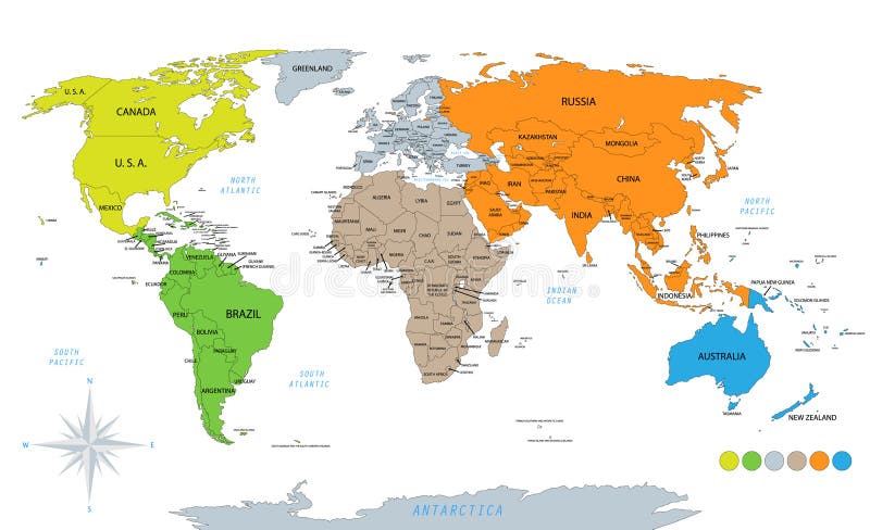
Free with trial Political world map on white background, with every state labeled and selectable. Colored by continents. Versatile file, turn on an off visibility and color of each country in one click. Antarctica vectors Political world map on white background. With every state labeled and selectable. Colored by continents. Versatile file, turn on an off visibility and color of. Political world map on white background, with every state labeled and selectable. Colored by continents. Versatile file, turn on an off visibility and color of each country in one click.
Free with trial Penguin. Vector image of penguin - usefull as logotype. Antarctica vectors Penguin. Vector image of penguin - usefull as logotype
Free with trial Penguin. Cute cartoon penguin vector illustration. Antarctica vectors Penguin. Cute cartoon penguin vector illustration
Free with trial Education paper game for children, Penguin. Use scissors and glue to create the image. Antarctica vectors Education paper game for children, Penguin. Use scissors and glue to create the image
Free with trial World map. A world map made up of 3d pillars. Bottom layer in vector file is flat squares which can be used instead or in conjunction with 3d parts. Antarctica vectors World map. A world map made up of 3d pillars. Bottom layer in vector file is flat squares which can be used instead or in conjunction with 3d parts
Free with trial World Map. Detailed map of the world on a white background. Antarctica vectors World Map. Detailed map of the world on a white background
Free with trial World map. Illustration of a nice world map cartoon. Antarctica vectors World map. Illustration of a nice world map cartoon
Free with trial World map - highly detailed black & white illustration. Antarctica vectors World map. Highly detailed black & white illustration
Free with trial Food chain. Vector illustration of Antarctic food chain. Antarctica vectors Food chain. Vector illustration of Antarctic food chain
Free with trial World map and kids of various nationalities. Vector illustration of world map and kids of various nationalities. Antarctica vectors World map and kids of various nationalities. Vector illustration of world map and kids of various nationalities
Free with trial 3D Globe - Red - Highly detailed and coloured illustration. Antarctica vectors 3D Globe - Red. Highly detailed and coloured illustration
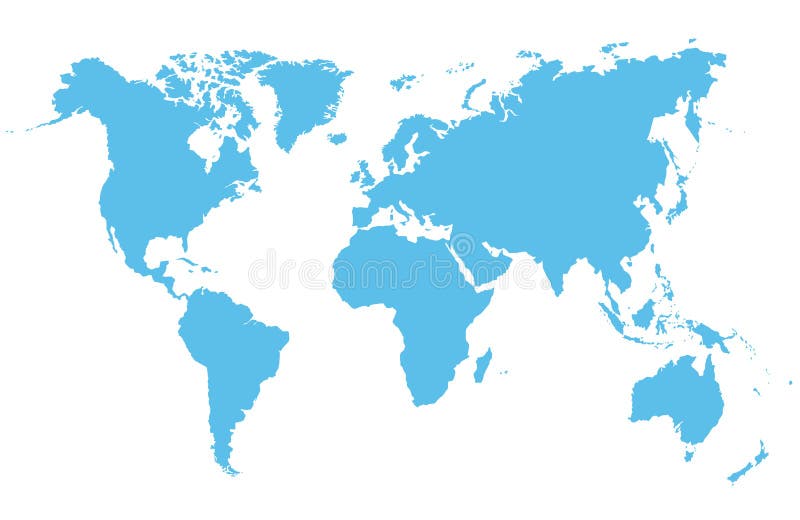
Free with trial Blue world map. World map with retro feel - slightly roughened map boundaries. Antarctica vectors Blue world map. World map with retro feel - slightly roughened map boundaries
Free with trial 3D Globe - Green - Highly detailed and coloured illustration. Antarctica vectors 3D Globe - Green. Highly detailed and coloured illustration
Free with trial World map blue - highly detailed world map illustration. Antarctica vectors World map blue. Highly detailed world map illustration
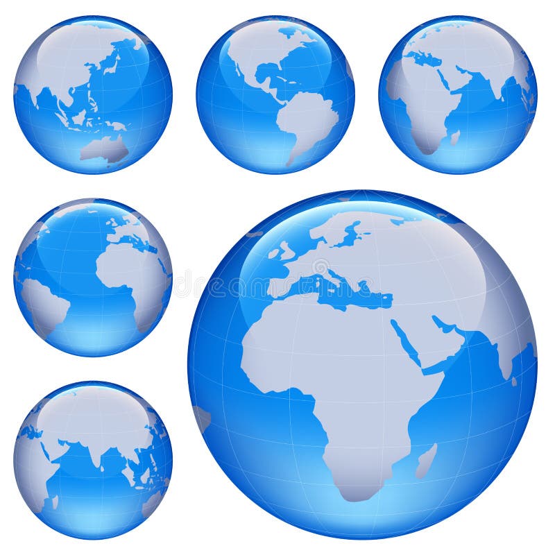
Free with trial Shiny earth map. Shiny planet earth map from six views; illustration. Antarctica vectors Shiny earth map. Shiny planet earth map from six views; illustration
Free with trial Globe collection. 8 views of the earth with country boundaries. Antarctica vectors Globe Collection. 8 views of the earth with country boundaries
Free with trial Map of the world. Highly detailed map of the world. Antarctica vectors Map of the world. Highly detailed map of the world
Free with trial People silhouettes. Against a world background - additional ai and eps format available on request. Antarctica vectors People silhouettes. Against a world background - additional ai and eps format available on request
Free with trial Penguin Collection is hand drawn original artwork. The vector file is in AI-EPS8 format,. Antarctica vectors Penguin Collection. Is hand drawn original artwork. The vector file is in AI-EPS8 format
Free with trial Iceberg and glacier. In der arktis, antarktik. Antarctica vectors Iceberg and glacier. In der arktis, antarktik
Free with trial World map and globe. Vector set of blue World map and five kinds of globe. Antarctica vectors World map and globe. Vector set of blue World map and five kinds of globe
Free with trial Cute penguin cartoon. Illustration of Cute penguin cartoon. Antarctica vectors Cute penguin cartoon. Illustration of Cute penguin cartoon
Free with trial Illustration of a igloo. Cartoon vector illustration of a igloo, vector icon igloo, white snow igloo, igloo illustration. Antarctica vectors Illustration of a igloo. Cartoon vector illustration of a igloo, vector icon igloo, white snow igloo, igloo illustration
Free with trial Fingerprint map of the world. On the white background. Antarctica vectors Fingerprint map of the world. On the white background
Free with trial World Map - Mollweide Projection. A colored vector world map in Mollweide projection, showing longitudes and latitudes. Antarctica vectors World Map - Mollweide Projection. A colored vector world map in Mollweide projection, showing longitudes and latitudes
Free with trial Funny cartoon world map with children of different nationalities, animals and monuments of all the continents and oceans. Vector illustration for preschool education and kids design. Antarctica vectors Funny cartoon world map with children of different nationalities, animals and monuments. Of all the continents and oceans. Vector illustration for preschool. Funny cartoon world map with children of different nationalities, animals and monuments of all the continents and oceans. Vector illustration for preschool education and kids design.
Free with trial Happy Valentine s Day Card. Vector format. Antarctica vectors Heart. Happy Valentine s Day Card. Vector format. Happy Valentine s Day Card. Vector format.
Free with trial A colored vector world map in Interrupted Goode projection, showing longitudes and latitudes. The projection splits the world in continental units. Antarctica vectors World Map - Interrupted Goode Projection. A colored vector world map in Interrupted Goode projection, showing longitudes and latitudes. The projection splits the. A colored vector world map in Interrupted Goode projection, showing longitudes and latitudes. The projection splits the world in continental units.
Free with trial A very highly detailed vector map of the world, with all country, capitals, and many city names, all organized with layers to suit any editing needs. Antarctica vectors Vector High Detail color map of the World. A very highly detailed vector map of the world, with all country, capitals, and many city names, all organized with. A very highly detailed vector map of the world, with all country, capitals, and many city names, all organized with layers to suit any editing needs.
Free with trial Funny cartoon world map with children of different nationalities, animals and monuments of all the continents and oceans. Names in spanish. Vector illustration for preschool education and kids design. Antarctica vectors Cartoon world map with children, animals and monuments Vector Illustration. Funny cartoon world map with children of different nationalities, animals and. Funny cartoon world map with children of different nationalities, animals and monuments of all the continents and oceans. Names in spanish. Vector illustration for preschool education and kids design.
Free with trial High Detail Vector Political World Map illustration, cleverly organized with layers. Original maps are from Cia for geographical Features. Antarctica vectors Hi Detail Blue Vector Political World Map illustration. High Detail Vector Political World Map illustration, cleverly organized with layers. Original maps are. High Detail Vector Political World Map illustration, cleverly organized with layers. Original maps are from Cia for geographical Features.
Free with trial High Detail Vector Political World Map illustration, cleverly organized with layers. With Country, Capitals, Main Cities, Seas and Lakes names all on different layers Original maps are from Cia ( for political borders and informations, NASA ( for geographical Features. Antarctica vectors Hi Detail colored Vector Political World Map illustration. High Detail Vector Political World Map illustration, cleverly organized with layers. With Country. High Detail Vector Political World Map illustration, cleverly organized with layers. With Country, Capitals, Main Cities, Seas and Lakes names all on different layers Original maps are from Cia ( for political borders and informations, NASA ( for geographical Features.
Free with trial Coloring pages with King Penguin, zentangle illustartion for adult anti stress Coloring books or tattoos with high details on black background. Vector monochrome bird sketch. Antarctica vectors Coloring pages with King Penguin, zentangle illustartion for adult anti stress Coloring books or tattoos with high details. On black background. Vector. Coloring pages with King Penguin, zentangle illustartion for adult anti stress Coloring books or tattoos with high details on black background. Vector monochrome bird sketch.
Free with trial World map with countries isolated on white background. Vector illustration. Eps 10. Antarctica vectors World map with countries isolated on white background. Vector illustration. Eps 10
 Sign in