Free with trial Japan map. Designed in illustration with regions colored in green colors. Vector illustration. Archipelago vectors Japan map. Designed in illustration with regions colored in green colors. Vector illustration
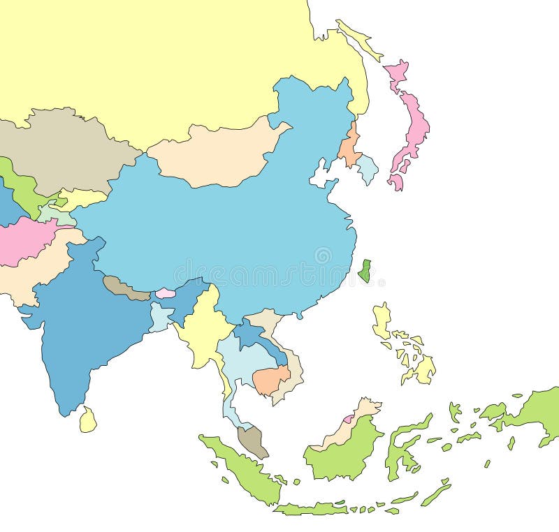
Free with trial Illustrated Map of Asia. Illustration of map of Asia with borders. Archipelago vectors Illustrated Map of Asia. Illustration of map of Asia with borders
Free with trial Japan. Map designed in illustration with regions colored in bright colors. Vector illustration. Archipelago vectors Japan. Map designed in illustration with regions colored in bright colors. Vector illustration
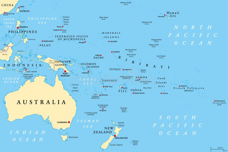
Free with trial Oceania political map. Region, centered on central Pacific Ocean islands. With Melanesia, Micronesia and Polynesia, including Australasia and Malay Archipelago. Illustration. English labeling. Vector. Archipelago vectors Oceania political map. Region, centered on central Pacific Ocean islands. With Melanesia, Micronesia and Polynesia, including Australasia and Malay Archipelago
Free with trial Color map of Japan with Russia, China, South and the North Korea. Very exact map. Archipelago vectors Color map of Japan. With Russia, China, South and the North Korea. Very exact map
Free with trial Galapagos islands map vector. Vector illustration of map of galapagos islands in ecuador. Archipelago vectors Galapagos islands map vector. Vector illustration of map of galapagos islands in ecuador
Free with trial Map of Japan. Japan map designed in illustration with regions colored in bright colors. Vector illustration. Archipelago vectors Map of Japan. Japan map designed in illustration with regions colored in bright colors. Vector illustration
Free with trial Japan. Map designed in illustration with regions colored in bright colors. Vector illustration. Archipelago vectors Japan. Map designed in illustration with regions colored in bright colors. Vector illustration
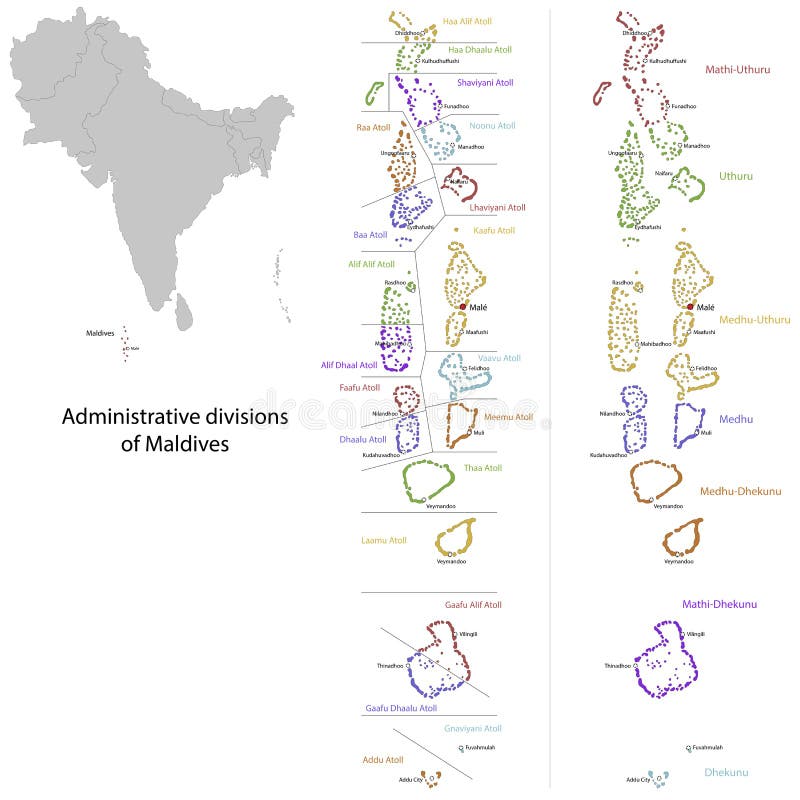
Free with trial Maldives map. Administrative division of the Republic of the Maldives. Archipelago vectors Maldives map. Administrative division of the Republic of the Maldives
Free with trial Japan map. Map of Japan with Russia, China, South and the North Korea. High resolution. Vector illustration. Archipelago vectors Japan map. Map of Japan with Russia, China, South and the North Korea. High resolution. Vector illustration
Free with trial Bahamas map. Administrative division of the Commonwealth of the Bahamas. Archipelago vectors Bahamas map. Administrative division of the Commonwealth of the Bahamas
Free with trial Illustration of a detailed political map of Cape Verde, with its islands, mountains and volcanos. Archipelago vectors Cape Verde map. Illustration of a detailed political map of Cape Verde, with its islands, mountains and volcanos. Illustration of a detailed political map of Cape Verde, with its islands, mountains and volcanos.
Free with trial Japan. Blind map of Japan with regions borders. Vector illustration. Archipelago vectors Japan. Blind map of Japan with regions borders. Vector illustration
Free with trial Map of Japan with Russia, China, South and the North Korea. Borders of the countries are shown by red colour. High resolution. Archipelago vectors Map of Japan. With Russia, China, South and the North Korea. Borders of the countries are shown by red colour. High resolution
Free with trial Welcome to bali design. Vector of welcome to bali design. Archipelago vectors Welcome to bali design. Vector of welcome to bali design
Free with trial The Bahamas Political Map with capital Nassau, important cities and places. English labeling and scaling. Illustration. Archipelago vectors The Bahamas Political Map. With capital Nassau, important cities and places. English labeling and scaling. Illustration
Free with trial Maldives map. Color Maldives map with airports over white. Archipelago vectors Maldives map. Color Maldives map with airports over white
Free with trial Galapagos Islands rubber stamp. Black grunge rubber stamp with the name of the Galapagos Islands written inside the stamp. Archipelago vectors Galapagos Islands rubber stamp. Black grunge rubber stamp with the name of the Galapagos Islands written inside the stamp
Free with trial Puerto Rico map. Puerto Rico, officially the Commonwealth of Puerto Rico is a United States territory located in the northeastern Caribbean. Archipelago vectors Puerto Rico map. Puerto Rico, officially the Commonwealth of Puerto Rico is a United States territory located in the northeastern Caribbean
Free with trial Indonesia map. Administrative division of the Republic of Indonesia. Archipelago vectors Indonesia map. Administrative division of the Republic of Indonesia
Free with trial Papua New Guinea Physical Map – highly detailed vector illustration. Image contains layers with shaded contours, land names, city names, water objects and it`s names, highways. Archipelago vectors Papua New Guinea Physical Map. – highly detailed vector illustration. Image contains layers with shaded contours, land names, city names, water objects and it
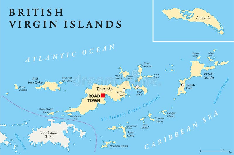
Free with trial British Virgin Islands Political Map, a british overseas territory located between the Caribbean Sea and the Atlantic Ocean and part of the Virgin islands archipelago. English labeling and scaling. Illustration. Archipelago vectors British Virgin Islands Political Map. A british overseas territory located between the Caribbean Sea and the Atlantic Ocean and part of the Virgin islands. British Virgin Islands Political Map, a british overseas territory located between the Caribbean Sea and the Atlantic Ocean and part of the Virgin islands archipelago. English labeling and scaling. Illustration.
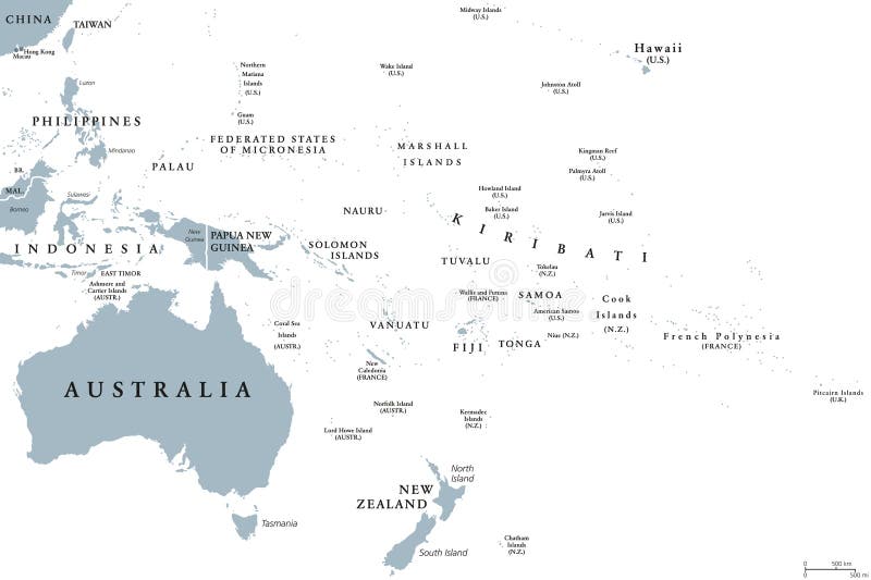
Free with trial Oceania political map with countries. English labeling. Region, comprising Australia and the Pacific islands with the regions Melanesia, Micronesia and Polynesia. Gray illustration over white. Vector. Archipelago vectors Oceania political map. With countries. English labeling. Region, comprising Australia and the Pacific islands with the regions Melanesia, Micronesia and. Oceania political map with countries. English labeling. Region, comprising Australia and the Pacific islands with the regions Melanesia, Micronesia and Polynesia. Gray illustration over white. Vector.
Free with trial Highly detailed physical map of Philippines,in vector format,with all the relief forms,regions and big cities. Archipelago vectors Philippines relief map. Highly detailed physical map of Philippines,in vector format,with all the relief forms,regions and big cities. Highly detailed physical map of Philippines,in vector format,with all the relief forms,regions and big cities.
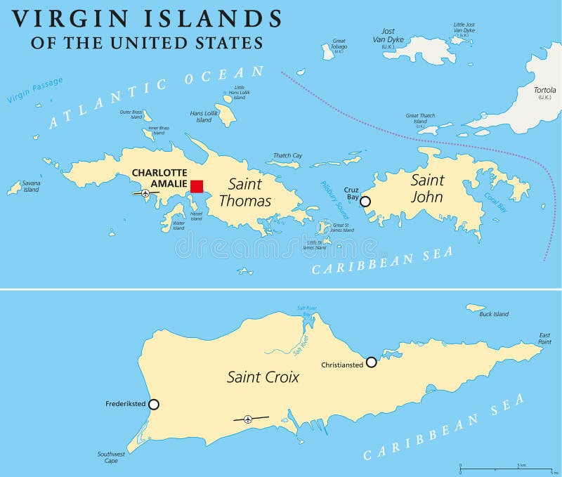
Free with trial United States Virgin Islands Political Map. A group of islands in the Caribbean that are an insular area of the United States. English labeling and scaling. Illustration. Archipelago vectors United States Virgin Islands Political Map. A group of islands in the Caribbean that are an insular area of the United States. English labeling and scaling
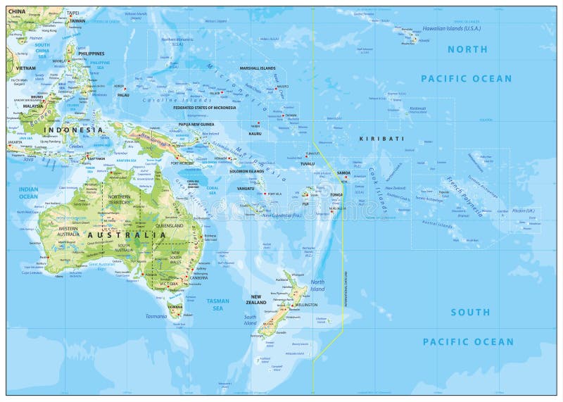
Free with trial Relief Map of Oceania. Names, town marks and national borders are in separate layers. Archipelago vectors Relief Map of Oceania. Names, town marks and national borders are in separate layers
Free with trial Vector color map of French Polynesia. Archipelago vectors French Polynesia. Vector color map of French Polynesia. Vector color map of French Polynesia .
Free with trial Detaild florida keys road and travel vector map. Archipelago vectors Detaild florida keys road and travel vector map.
Free with trial Isometric Islands elements for games. Isometric 3d Islands mountains lake waterfall volcano, Elements for games. Archipelago vectors Isometric Islands elements for games. Isometric 3d Islands mountains lake waterfall volcano, Elements for games
Free with trial Vector Map of Caribbean Islands with name. Map of Caribbean Islands is isolated on a white background. Simple flat geographic map. Archipelago vectors Vector Flat Map of Caribbean Islands with Name. Vector Map of Caribbean Islands with name. Map of Caribbean Islands is isolated on a white background. Simple. Vector Map of Caribbean Islands with name. Map of Caribbean Islands is isolated on a white background. Simple flat geographic map.
Free with trial Vancouver island Canada, British Columbia Province, North America map vector illustration, scribble sketch Vancouver map,. Archipelago vectors Vancouver island Canada, British Columbia Province, North America map vector illustration, scribble sketch Vancouver map.
Free with trial Japan. Map of Japan and flag illustration. Archipelago vectors Japan. Map of Japan and flag illustration
Free with trial Illustration of the flag of Trinidad and Tobago. Archipelago vectors Trinidad and Tobago flag. Illustration of the flag of Trinidad and Tobago. Illustration of the flag of Trinidad and Tobago.
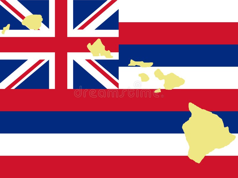
Free with trial Map of Hawaii. And Hawaiian flag illustration. Archipelago vectors Map of Hawaii. And Hawaiian flag illustration
Free with trial Map of Philippines. And filipino flag illustration. Archipelago vectors Map of Philippines. And filipino flag illustration
Free with trial Map of the Ecuadorian archipelago of Galapagos (galapagos islands). Archipelago vectors Map of the Ecuadorian archipelago of Galapagos. (galapagos islands
Free with trial Color graphic drawing - North, Scandinavian, Karelian landscape, Lake Ladoga. Wild cold nature, the archipelago of the many lakes and islands. Spruce, pine, forest, stones, clean and unspoiled wildlife. Vector travel illustration, isolated on background. Archipelago vectors Color graphic drawing - North, Scandinavian, Karelian landscape, Lake Ladoga. Wild cold nature, the archipelago of the many lakes. And islands. Spruce, pine. Color graphic drawing - North, Scandinavian, Karelian landscape, Lake Ladoga. Wild cold nature, the archipelago of the many lakes and islands. Spruce, pine, forest, stones, clean and unspoiled wildlife. Vector travel illustration, isolated on background.
Free with trial Seychelles political map with capital Victoria on the main island Mahe. Republic, archipelago and country in the Indian Ocean. Gray illustration isolated on white background. English labeling. Vector. Archipelago vectors Seychelles political map. With capital Victoria on the main island Mahe. Republic, archipelago and country in the Indian Ocean. Gray illustration isolated on. Seychelles political map with capital Victoria on the main island Mahe. Republic, archipelago and country in the Indian Ocean. Gray illustration isolated on white background. English labeling. Vector.
Free with trial Kiribati political map with capital Tarawa. Republic and island nation in central Pacific Ocean. Archipelago with three main groups, Gilbert, Phoenix and Line Islands. English labeling. Illustration. Archipelago vectors Kiribati Political Map. With capital Tarawa. Republic and island nation in central Pacific Ocean. Archipelago with three main groups, Gilbert, Phoenix and Line. Kiribati political map with capital Tarawa. Republic and island nation in central Pacific Ocean. Archipelago with three main groups, Gilbert, Phoenix and Line Islands. English labeling. Illustration.
Free with trial Seychelles Political Map with capital Victoria, important cities and islands and an overview map of the whole archipelago. English labeling and scaling. Illustration. Archipelago vectors Seychelles Political Map. With capital Victoria, important cities and islands and an overview map of the whole archipelago. English labeling and scaling
Free with trial Fiji political map with capital Suva. Republic, archipelago and island country in Melanesia in the South Pacific Ocean. Gray illustration on white background with English labeling. Vector. Archipelago vectors Fiji political map. With capital Suva. Republic, archipelago and island country in Melanesia in the South Pacific Ocean. Gray illustration on white background. Fiji political map with capital Suva. Republic, archipelago and island country in Melanesia in the South Pacific Ocean. Gray illustration on white background with English labeling. Vector.
Free with trial Azores political map with capital Ponta Delgada. Autonomous region of Portugal, an archipelago composed of nine volcanic islands in North Atlantic Ocean. Gray illustration, English labeling. Vector. Archipelago vectors Azores political map. With capital Ponta Delgada. Autonomous region of Portugal, an archipelago composed of nine volcanic islands in North Atlantic Ocean. Gray. Azores political map with capital Ponta Delgada. Autonomous region of Portugal, an archipelago composed of nine volcanic islands in North Atlantic Ocean. Gray illustration, English labeling. Vector.
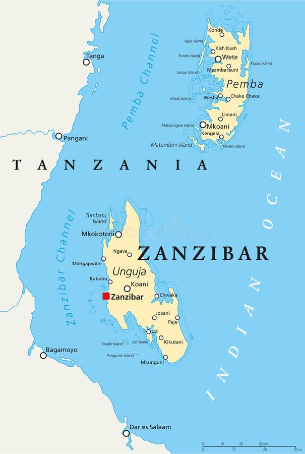
Free with trial Zanzibar, political map of the semi-autonomous part of Tanzania in East Africa, an archipelago in the Indian Ocean composed of the two islands Unguja and Pemba. English labeling and scaling. Archipelago vectors Zanzibar Political Map. Zanzibar, political map of the semi-autonomous part of Tanzania in East Africa, an archipelago in the Indian Ocean composed of the two. Zanzibar, political map of the semi-autonomous part of Tanzania in East Africa, an archipelago in the Indian Ocean composed of the two islands Unguja and Pemba. English labeling and scaling.
Free with trial Mauritius Political Map with capital Port Louis, the islands Rodrigues and Agalega and with the archipelago Saint Brandon. English labeling and scaling. Illustration. Archipelago vectors Mauritius Political Map. With capital Port Louis, the islands Rodrigues and Agalega and with the archipelago Saint Brandon. English labeling and scaling
Free with trial Shanghai and the Yangtze River Delta, political map with major cities. Megalopolis of China, located where the Yangtze River drains into the East China Sea, with Hangzhou Bay and Zhoushan Archipelago. Archipelago vectors Shanghai and the Yangtze River Delta, political map with major cities. Megalopolis of China, located where the Yangtze River drains into the East China Sea
Free with trial Gibraltar grunge rubber stamp. Blue grunge rubber stamp with the name of Gibraltar from the Iberian Peninsula written inside the stamp. Archipelago vectors Gibraltar grunge rubber stamp. Blue grunge rubber stamp with the name of Gibraltar from the Iberian Peninsula written inside the stamp
Free with trial Hawaii icon set. Vector collection of hawaii icon set. Archipelago vectors Hawaii icon set. Vector collection of hawaii icon set
Free with trial An image of a small cruise ship anchored just off shore. E. P. S. 10 vector file included with image, on white. Archipelago vectors Cruise ship near beach. An image of a small cruise ship anchored just off shore. E.P.S. 10 vector file included with image, on white. An image of a small cruise ship anchored just off shore. E.P.S. 10 vector file included with image, on white.
Free with trial United States Virgin Islands stamp. Black grunge rubber stamp with the name of United States Virgin Islands written inside the stamp. Archipelago vectors United States Virgin Islands stamp. Black grunge rubber stamp with the name of United States Virgin Islands written inside the stamp
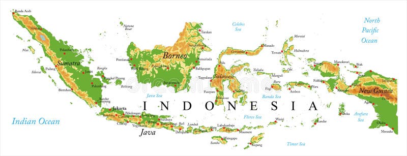
Free with trial Highly detailed physical map of Indonesia,in vector format,with all the relief forms,regions and big cities. Archipelago vectors Indonesia Relief map. Highly detailed physical map of Indonesia,in vector format,with all the relief forms,regions and big cities. Highly detailed physical map of Indonesia,in vector format,with all the relief forms,regions and big cities.
Free with trial Balearic islands spain vector map. Vectored illustration of spanish balearic islands in the mediterranean sea. Archipelago vectors Balearic islands spain vector map. Vectored illustration of spanish balearic islands in the mediterranean sea
Free with trial Desert islands. Two images of small desert islands, in the daytime and at sunset. E. P. S. 10 vector file included with image, isolated on white. Archipelago vectors Desert islands. Two images of small desert islands, in the daytime and at sunset. E.P.S. 10 vector file included with image, isolated on white
Free with trial Regions of Oceania, political map. Colored geographic regions, southeast of the Asia-Pacific region including Australasia, Melanesia, Micronesia and Polynesia. English. Illustration over white. Vector. Archipelago vectors Regions of Oceania, political map. Colored geographic regions, southeast of the Asia-Pacific region including Australasia, Melanesia, Micronesia and Polynesia
Free with trial US State Alaska Political Map with capital Juneau, national borders, important cities, rivers and lakes. English labeling and scaling. Illustration. Archipelago vectors Alaska Political Map. US State Alaska Political Map with capital Juneau, national borders, important cities, rivers and lakes. English labeling and scaling. US State Alaska Political Map with capital Juneau, national borders, important cities, rivers and lakes. English labeling and scaling. Illustration.
Free with trial Madeira Islands Political Map with Madeira, Porto Santo and Desertas. English labeling and scaling. Illustration. Archipelago vectors Madeira Islands Political Map. With Madeira, Porto Santo and Desertas. English labeling and scaling. Illustration
Free with trial Santorini, Greece. Vector illustration of the Greek island of Santorini. Archipelago vectors Santorini, Greece. Vector illustration of the Greek island of Santorini
Free with trial Canary Islands Political Map with Lanzarote, Fuerteventura, Gran Canaria, Tenerife, La Gomera, La Palma and El Hierro. English labeling and scaling. Illustration. Archipelago vectors Canary Islands Political Map. With Lanzarote, Fuerteventura, Gran Canaria, Tenerife, La Gomera, La Palma and El Hierro. English labeling and scaling
Free with trial Polynesia, subregion of Oceania, political map. A region, made up of more than 1000 islands scattered over the central and southern Pacific Ocean. English. Illustration on white background. Vector. Archipelago vectors Polynesia, subregion of Oceania, political map. A region, made up of more than 1000 islands scattered over the central and southern Pacific Ocean. English
Free with trial Alaska political map with capital Juneau. U. S. state in the northwest of the Americas with international borders and neighbor countries Russia and Canada. Gray colored illustration. English labeling. Archipelago vectors Alaska US state political map. Alaska political map with capital Juneau. U.S. state in the northwest of the Americas with international borders and neighbor. Alaska political map with capital Juneau. U.S. state in the northwest of the Americas with international borders and neighbor countries Russia and Canada. Gray colored illustration. English labeling.
Free with trial Cuba Political Map with capital Havana, national borders, most important cities and rivers. English labeling and scaling. Illustration. Archipelago vectors Cuba Political Map. With capital Havana, national borders, most important cities and rivers. English labeling and scaling. Illustration
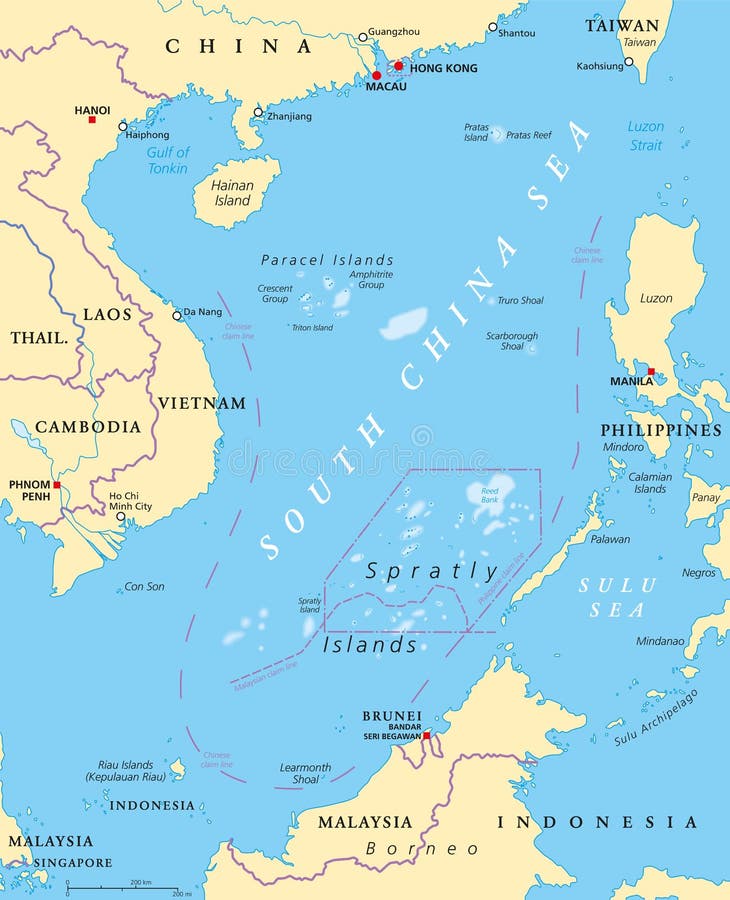
Free with trial South China Sea Islands, political map. Islands, atolls, cays, shoals, reefs and sandbars. Partially claimed by China and other neighboring states. Paracel and Spratly Islands. Illustration. Vector. Archipelago vectors South China Sea Islands, political map. Islands, atolls, cays, shoals, reefs and sandbars. Partially claimed by China and other neighboring states. Paracel and
Free with trial Denmark Political Map with capital Copenhagen, national borders, important cities and rivers. English labeling and scaling. Illustration. Archipelago vectors Denmark Political Map. With capital Copenhagen, national borders, important cities and rivers. English labeling and scaling. Illustration
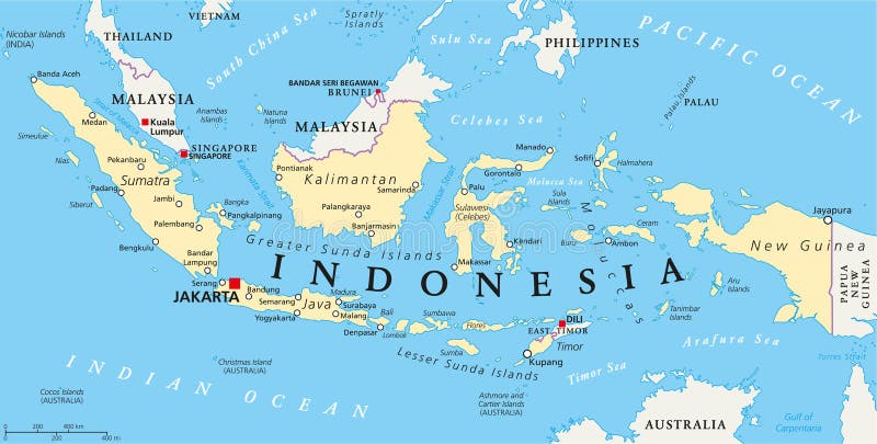
Free with trial Indonesia political map with capital Jakarta, national borders and important cities. English labeling and scaling. Illustration. Archipelago vectors Indonesia Political Map. With capital Jakarta, national borders and important cities. English labeling and scaling. Illustration
Free with trial Hawaiian Design Elements. Collection of various hawaiian and polynesian design elements. Archipelago vectors Hawaiian Design Elements. Collection of various hawaiian and polynesian design elements
Free with trial Island or isle with beach and mountain or volcano, house or bungalow, wood or forest, umbrella on sand beach, airplane and boat top or air view. Good for tourism and summer vacation, travel theme. Archipelago vectors Island or isle with beach and mountain top view. Island or isle with beach and mountain or volcano, house or bungalow, wood or forest, umbrella on sand beach. Island or isle with beach and mountain or volcano, house or bungalow, wood or forest, umbrella on sand beach, airplane and boat top or air view. Good for tourism and summer vacation, travel theme
Free with trial Patagonia political map. The southern end of continent South America, shared by Chile and Argentina. With Falkland Islands, a British overseas territory. English labeling. Gray illustration. Vector. Archipelago vectors Patagonia and Falkland Islands political map. Patagonia political map. The southern end of continent South America, shared by Chile and Argentina. With Falkland. Patagonia political map. The southern end of continent South America, shared by Chile and Argentina. With Falkland Islands, a British overseas territory. English labeling. Gray illustration. Vector.
Free with trial Melanesia, Micronesia and Polynesia, political map. Colored geographic regions of Oceania, southeast of the Asia-Pacific region. English labeling. Illustration on white background. Vector. Archipelago vectors Melanesia, Micronesia and Polynesia, political map. Colored geographic regions of Oceania, southeast of the Asia-Pacific region. English labeling. Illustration
Free with trial Svalbard, Bear Island and Jan Mayen political map. Norwegian archipelagos and island in the Arctic Ocean. Spitsbergen. Gray illustration with English labeling, on white background. Vector. Archipelago vectors Svalbard, Jan Mayen and Bear Island political map. Svalbard, Bear Island and Jan Mayen political map. Norwegian archipelagos and island in the Arctic Ocean. Svalbard, Bear Island and Jan Mayen political map. Norwegian archipelagos and island in the Arctic Ocean. Spitsbergen. Gray illustration with English labeling, on white background. Vector.
Free with trial Japan political map with capital Tokyo, national borders and important cities. English labeling and scaling. Illustration. Archipelago vectors Japan Political Map. With capital Tokyo, national borders and important cities. English labeling and scaling. Illustration
Free with trial Washington state road and national park vector map. Archipelago vectors Washington state road and national park vector map.
Free with trial Road map of zanzibar. Road map of West African island zanzibar. Archipelago vectors Road map of zanzibar. Road map of West African island zanzibar
Free with trial Cartoon tropical island in ocean. Top view exotic island map. Vector game design for app. Vector. Archipelago vectors Cartoon tropical island in ocean. Top view exotic island map. Vector game design for app. Cartoon tropical island in ocean. Top view exotic island map. Vector
Free with trial Road map of the indonesian island sumatra. Archipelago vectors Road map of the indonesian island sumatra.
Free with trial Plane flies over a few tropical islands of different sizes with beaches and houses. Around float boats. View from above. Air traffic or international flights concept. Archipelago vectors Plane flies over a few tropical islands. Of different sizes with beaches and houses. Around float boats. View from above. Air traffic or international flights
Free with trial Isometric Islands elements for games. Isometric 3d Islands mountains lake waterfall volcano, Elements for games. Archipelago vectors Isometric Islands elements for games. Isometric 3d Islands mountains lake waterfall volcano, Elements for games
Free with trial Administrative vector map of the indonesian part of borneo island, kalimantan, indonesia. Archipelago vectors Administrative vector map of the indonesian part of borneo island, kalimantan, indonesia.
Free with trial Country map of the East Asian island nation of the Philippines. Archipelago vectors Country map of the East Asian island nation of the Philippines.
Free with trial Hawaii cartoon vector doodles illustration. Hawaian round design. Tropical elements and objects background. Bright colors funny picture. All items are separated. Archipelago vectors Hawaii cartoon vector doodles illustration. Hawaian round design. Tropical elements and objects background. Bright colors funny picture. All items are
Free with trial One continuous line drawing of cute albatross for bird conservation logo identity. Adorable sea bird mascot concept for national zoo icon. Dynamic single line graphic draw design vector illustration. Archipelago vectors One continuous line drawing of cute albatross for bird conservation logo identity. Adorable sea bird mascot concept for national. Zoo icon. Dynamic single line. One continuous line drawing of cute albatross for bird conservation logo identity. Adorable sea bird mascot concept for national zoo icon. Dynamic single line graphic draw design vector illustration
Free with trial 3d isometric map of Vancouver Island is an island in Canada, isolated vector illustration. Archipelago vectors 3d isometric map of Vancouver Island is an island in Canada. Isolated vector illustration
 Sign in