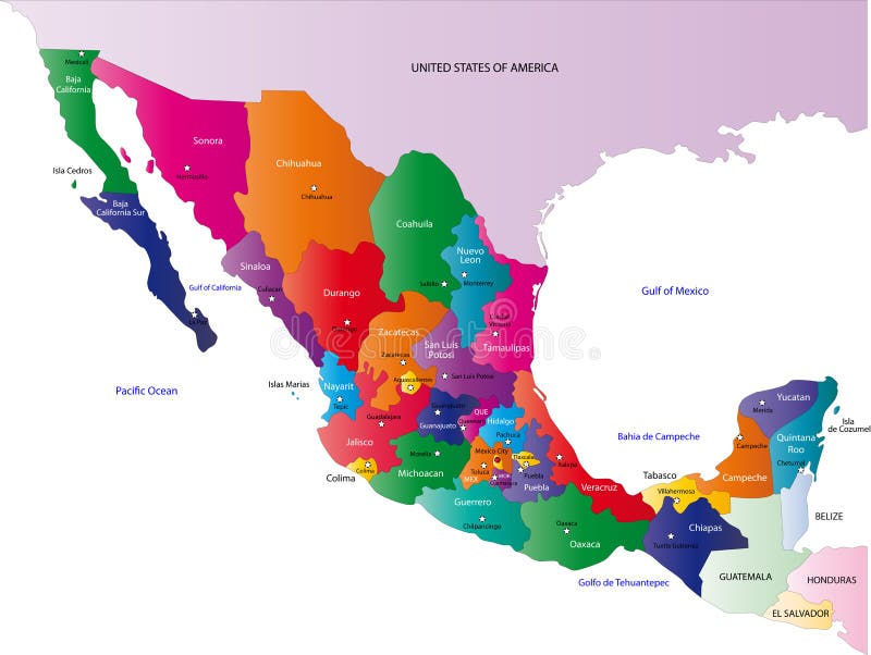
Free with trial Mexico map designed in illustration with the states colored in bright colors and with the main cities. On an illustration neighbouring countries are shown too. Bolivia vectors Map of Mexico. Mexico map designed in illustration with the states colored in bright colors and with the main cities. On an illustration neighbouring countries. Mexico map designed in illustration with the states colored in bright colors and with the main cities. On an illustration neighbouring countries are shown too
Free with trial Isolated raster version of vector set of world flags 3 (contain the Clipping Path of all objects) There is in addition a vector format (EPS 8). Bolivia vectors Set of world flags 3. Isolated raster version of vector set of world flags 3 (contain the Clipping Path of all objects) There is in addition a vector format (EPS. Isolated raster version of vector set of world flags 3 (contain the Clipping Path of all objects) There is in addition a vector format (EPS 8)
Free with trial Mexico flag. Vector illustration of a map and flag from Mexico. Bolivia vectors Mexico flag. Vector illustration of a map and flag from Mexico
Free with trial Children of the world-Bolivia-Ecuador-Peru-Venezuela. Kids in traditional costume-Bolivia-Ecuador-Peru-Venezuela. Bolivia vectors Children of the world-Bolivia-Ecuador-Peru-Venezuela. Kids in traditional costume-Bolivia-Ecuador-Peru-Venezuela
Free with trial Flag of bolivia. Vector illustration. Bolivia vectors Flag of bolivia. Vector illustration
Free with trial Illustrations showing all the North and South America countries flags (Antigua and Barbuda, Argentina, Bahamas, Barbados, Belize, Bolivia, Brazil, Canada, Chile, Colombia, Costa Rica, Cuba, Dominica, Dominican Republic, Ecuador, El Salvador, Grenada, Guatemala, Guyana, Haiti, Honduras, Jamaica, Mexico, Nicaragua, Panama, Paraguay, Peru, Saint Kitts and Nevis, Saint Lucia, Saint Vincent and the Grenadines, Suriname, Trinidad and Tobago, United States, Uruguay, Venezuela) and the flags of Greenland and Puerto Rico. Each flag is 750x500 pixels and thoroughly drawn. Eps file available. Bolivia vectors American Countries Flags. Illustrations showing all the North and South America countries flags (Antigua and Barbuda, Argentina, Bahamas, Barbados, Belize. Illustrations showing all the North and South America countries flags (Antigua and Barbuda, Argentina, Bahamas, Barbados, Belize, Bolivia, Brazil, Canada, Chile, Colombia, Costa Rica, Cuba, Dominica, Dominican Republic, Ecuador, El Salvador, Grenada, Guatemala, Guyana, Haiti, Honduras, Jamaica, Mexico, Nicaragua, Panama, Paraguay, Peru, Saint Kitts and Nevis, Saint Lucia, Saint Vincent and the Grenadines, Suriname, Trinidad and Tobago, United States, Uruguay, Venezuela) and the flags of Greenland and Puerto Rico. Each flag is 750x500 pixels and thoroughly drawn. Eps file available.
Free with trial South America. Vector map of america and illustration. Bolivia vectors South America. Vector map of america and illustration
Free with trial Maya glyphs background. Vector handmade illustration of some maya glyphs as background or wallpaper. Bolivia vectors Maya glyphs background. Vector handmade illustration of some maya glyphs as background or wallpaper
Free with trial Llama vector silhouette. Vectored illustration as silhouette of llama, typical andean and south american pack animal from the camel family. Bolivia vectors Llama vector silhouette. Vectored illustration as silhouette of llama, typical andean and south american pack animal from the camel family
Free with trial South america 01. A full color map of south america with the country names called out. Bolivia vectors South america 01. A full color map of south america with the country names called out
Free with trial Vector passport stamp. Nice collection of different vector passport stamp. Bolivia vectors Vector passport stamp. Nice collection of different vector passport stamp
Free with trial South America globe map, with the country in different colors. Bolivia vectors South America globe map. With the country in different colors
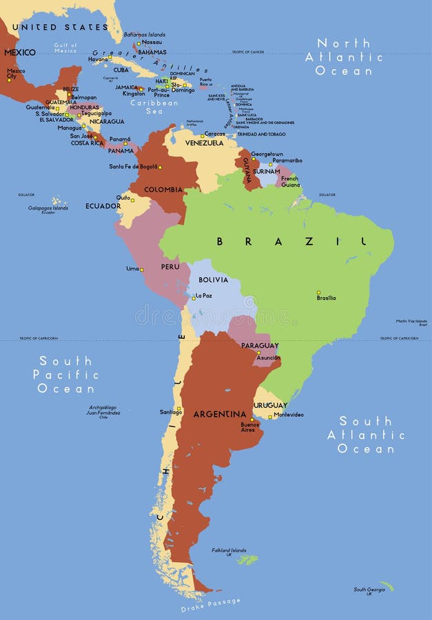
Free with trial Latin America single states political map. Countries in different colors, with national borders and English country names. From Mexico to the southern tip of South America, including the Caribbean. Bolivia vectors Latin America single states political map. Countries in different colors, with national borders and English country names. From Mexico to the southern tip of
Free with trial Central america with names of countries -Vector -. Bolivia vectors Central america. Central america with names of countries -Vector. Central america with names of countries -Vector -
Free with trial Vector passport stamp. Nice collection of different vector passport stamp. Bolivia vectors Vector passport stamp. Nice collection of different vector passport stamp
Free with trial Map of Latin America with national borders and country names. Pseudo-3d illustration. Bolivia vectors 3d map of Latin America. Map of Latin America with national borders and country names. Pseudo-3d illustration. Map of Latin America with national borders and country names. Pseudo-3d illustration.
Free with trial Coffee badges and labels. Bakery and Coffee shop vector sign set. Premium quality coffee sign. Coffee Man emblem. Bolivia vectors Coffee badges and labels. Bakery and Coffee shop vector sign set. Premium quality coffee sign. Coffee Man emblem
Free with trial Coffee labels and badges. Retro style coffee vintage collection. Bolivia vectors Coffee labels and badges. Retro style coffee vintage collection
Free with trial City skyline South America. For your design. Bolivia vectors City skyline South America. For your design
Free with trial Political map of South America with present states borders, detailed vector map. Bolivia vectors South America political map. Political map of South America with present states borders, detailed vector map. Political map of South America with present states borders, detailed vector map.
Free with trial Communication World, Global Commerce - America. Global Communications on the earth - Telecommunications concept. Bolivia vectors Communication World, Global Commerce - America. Global Communications on the earth - Telecommunications concept
Free with trial World showing communication across continents. Communication World, Global Commerce - North South America, Europe and Africa. Bolivia vectors World showing communication across continents. Communication World, Global Commerce - North South America, Europe and Africa
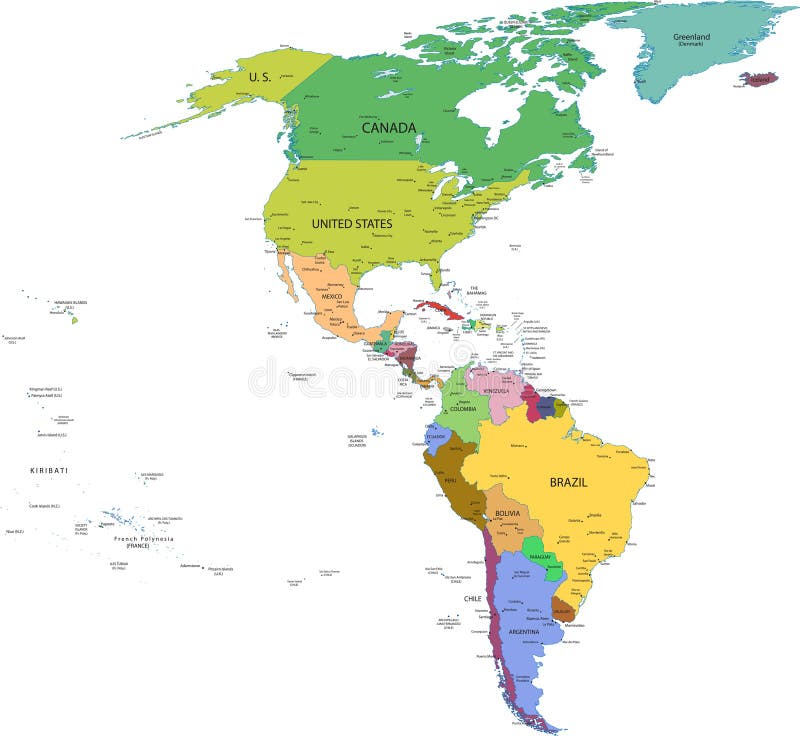
Free with trial Map of south and north america with countries, capitals and major cities. Bolivia vectors Map of south and north america with countries. Capitals and major cities
Free with trial Vector set of panorams countries South America - Venezuela, Brazil, Suriname, Ecuador, Colombia, Guyana. Bolivia vectors Vector set of panorams countries South America. Venezuela, Brazil, Suriname, Ecuador, Colombia, Guyana
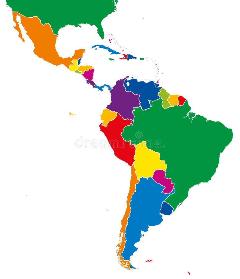
Free with trial Latin America single states map. All countries in different full intense colors and with national borders. From northern border of Mexico to the southern tip of South America, including the Caribbean. Bolivia vectors Latin America single states map full color. Latin America single states map. All countries in different full intense colors and with national borders. From. Latin America single states map. All countries in different full intense colors and with national borders. From northern border of Mexico to the southern tip of South America, including the Caribbean.
Free with trial Chile. Abstract vector color map of Chile country. Bolivia vectors Chile. Abstract vector color map of Chile country
Free with trial Brazil. Abstract vector color map of Brazil country. Bolivia vectors Brazil. Abstract vector color map of Brazil country
Free with trial Ecuador. Abstract vector color map of Ecuador country. Bolivia vectors Ecuador. Abstract vector color map of Ecuador country
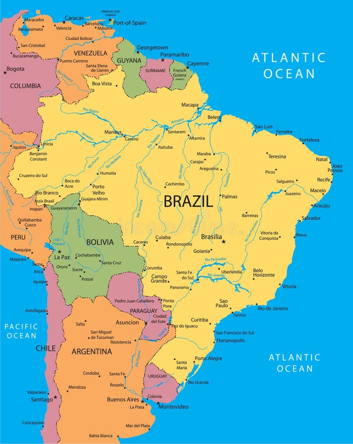
Free with trial Brazil vector map with the main cities. Bolivia vectors Brazil vector map. With the main cities
Free with trial Mexico. Abstract vector color map of Mexico country. Bolivia vectors Mexico. Abstract vector color map of Mexico country
Free with trial Political map of Latin America. Latin american states blue highlighted in the map of South America, Central America and Caribbean. Vector illustration. Bolivia vectors Political map of Latin America. Latin american states blue highlighted in the map of South America, Central America and. Caribbean. Vector illustration
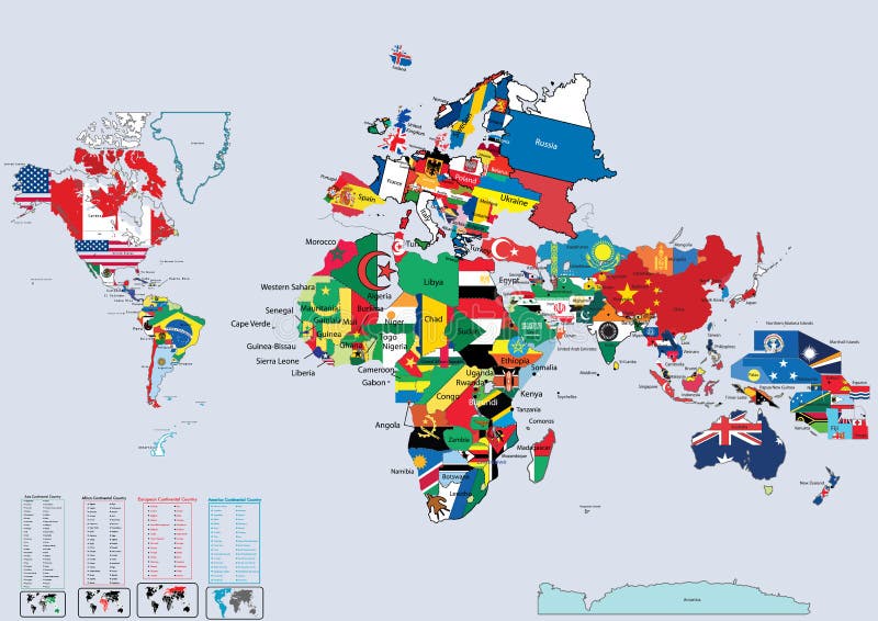
Free with trial World country flags and map. On a blue background. Bolivia vectors World country flags and map. On a blue background
Free with trial Mexico map designed in illustration with states colored in green colors and with the main cities. Neighbouring countries are in an additional format (. AI) in the latent layer. Bolivia vectors Vector Mexico map. Mexico map designed in illustration with states colored in green colors and with the main cities. Neighbouring countries are in an additional. Mexico map designed in illustration with states colored in green colors and with the main cities. Neighbouring countries are in an additional format (. AI) in the latent layer.
Free with trial Argentina map designed in illustration with states colored in bright colors and with the main cities. Neighbouring countries are in an additional format (. AI) in the latent layer. Bolivia vectors Argentina map. Designed in illustration with states colored in bright colors and with the main cities. Neighbouring countries are in an additional format (. AI
Free with trial Raster version of vector set world flag icons 3 There is in addition a vector format (EPS 8). Bolivia vectors World flag icons 3. Raster version of vector set world flag icons 3 There is in addition a vector format (EPS 8. Raster version of vector set world flag icons 3 There is in addition a vector format (EPS 8)
Free with trial Brazil. Vector illustration of a map and flag from Brazil. Bolivia vectors Brazil. Vector illustration of a map and flag from Brazil
Free with trial Big Wavy flags set - America (north, central & south). 24 Vector flags. Bolivia vectors Wavy flags set - America. Big Wavy flags set - America (north, central & south). 24 Vector flags. Big Wavy flags set - America (north, central & south). 24 Vector flags.
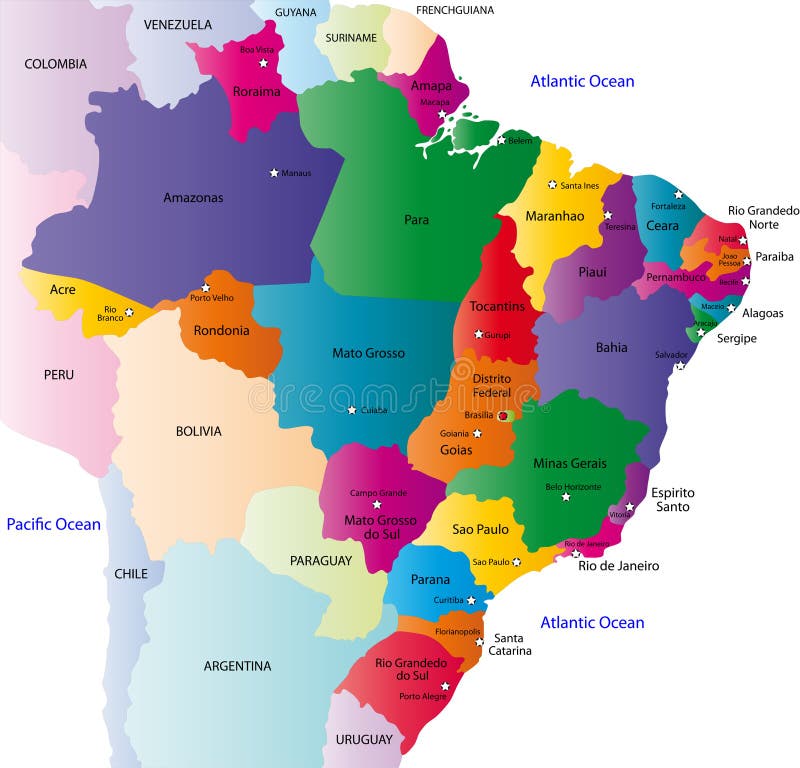
Free with trial Brazil map designed in illustration with the 26 states colored in bright colors and with the main cities. On an illustration neighbouring countries are shown too. Bolivia vectors Brazil map. Designed in illustration with the 26 states colored in bright colors and with the main cities. On an illustration neighbouring countries are shown
Free with trial Venezuela. Vector illustration of a map and flag from Venezuela. Bolivia vectors Venezuela. Vector illustration of a map and flag from Venezuela
Free with trial Outline maps of the world with. National flags vector illustration. Bolivia vectors Outline maps of the world with. National flags vector illustration
Free with trial Big glossy button flags set - America (north, central & south). 21 Vector flags, original size of USA flag in down right corner. Bolivia vectors Glossy button flags - America. Big glossy button flags set - America (north, central & south). 21 Vector flags, original size of USA flag in down right. Big glossy button flags set - America (north, central & south). 21 Vector flags, original size of USA flag in down right corner.
Free with trial Detailed South American flags. And map manually traced from public domain data. EPS file available. Bolivia vectors Detailed South American flags. And map manually traced from public domain data. EPS file available
Free with trial Big glossy flag set. American countries (North, Central, South) and Oceania. Vector illustration. Bolivia vectors Glossy flags set America & Oceania. Big glossy flag set. American countries (North, Central, South) and Oceania. Vector illustration. Big glossy flag set. American countries (North, Central, South) and Oceania. Vector illustration.
Free with trial A complete set of all Latin American Flags with last actual changes and rich details. Bolivia vectors Latin American Flags. A complete set of all Latin American Flags with last actual changes and rich details. A complete set of all Latin American Flags with last actual changes and rich details.
Free with trial Flags vector 1. Set of flags vector 1. Bolivia vectors Flags vector 1. Set of flags vector 1
Free with trial Flag web buttons. Shiny web buttons with american country flags. Bolivia vectors Flag web buttons. Shiny web buttons with american country flags
Free with trial 24 of Americas Flags. Vector Illustration of the Flags of different countries of the world. They are organized by location then in alphabetical in order. Dozens of flags in each file and hundreds all together. Bolivia vectors 24 Americas Flags. 24 of Americas Flags. Vector Illustration of the Flags of different countries of the world. They are organized by location then in. 24 of Americas Flags. Vector Illustration of the Flags of different countries of the world. They are organized by location then in alphabetical in order. Dozens of flags in each file and hundreds all together.
Free with trial Vector illustration of world flags. South America. Bolivia vectors World flags. South America. Vector illustration of world flags. South America. Vector illustration of world flags. South America.
Free with trial South America political map. With each country independently selectable. Bolivia vectors South America political map. With each country independently selectable
Free with trial Glossy button flags of American continent. Set of glossy button flags of north, south and central America. Bolivia vectors Glossy button flags of American continent. Set of glossy button flags of north, south and central America
Free with trial Argentina. Abstract vector color map of Argentina country. Bolivia vectors Argentina. Abstract vector color map of Argentina country
Free with trial Vector Collection of Flat Flags. There are Afghanistan, Albania, Algeria, Andorra, Angola, Antigua and Barbuda, Argentina, Armenia, Australia, Austria, Azerbaijan, Bahamas, Bahrain, Bangladesh, Barbados, Belarus, Belgium, Belize, Benin, Bhutan, Bolivia, Bosnia and Herzegovina, Botswana, Brazil, Brunei, Bulgaria, Burkina Faso, Burundi, Cambodia, Cameroon, Canada, Cape Verde, Central African Republic, Chad, Chile, China, Colombia, Comoros, Democratic Republic of the Congo, Congo, Costa Rica, Croatia, Cuba, Cyprus, Czech Republic, Denmark, Djibouti, Dominica, Dominican Republic, East Timor, Ecuador, Egypt, El Salvador, Equatorial Guinea, Eritrea, Estonia, Ethiopia, European Union, Fiji, Finland, France, Gabon, Gambia, Georgia, Germany, Ghana, Greece, Grenada, Guatemala, Guinea, Guinea-Bissau, Guyana, Haiti, Honduras, Hungary, Iceland, India, Indonesia, Iran, Iraq, Ireland, Israel, Italy, Ivory Coast, Jamaica, Japan, Jordan, Kazakhstan, Kenya, Kiribati, North Korea, South Korea, Kuwait, Kyrgyzstan, Laos, Latvia, Lebanon, Lesotho, Liberia, Libya, Liechtenstein, Lithuania, Luxembourg, Macedonia, Madagascar, Malawi, Malaysia, Maldives, Mali, Malta, Marshall Islands, Mauritania, Mauritius, Mexico, F. S. Micronesia, Moldova, Monaco, Mongolia, Montenegro, Morocco, Mozambique, Myanmar, Namibia, Nauru, Nepal, Netherlands, New Zealand, Nicaragua, Niger, Nigeria, Norway, Oman, Pakistan, Palau, Palestine, Papua New Guinea, Paraguay, Peru, Philippines, Poland, Portugal, Puerto Rico, Qatar,. Bolivia vectors All World Vector Flags. 210 items. Vector Collection of Flat Flags. There are Afghanistan, Albania, Algeria, Andorra, Angola, Antigua and Barbuda, Argentina. Vector Collection of Flat Flags. There are Afghanistan, Albania, Algeria, Andorra, Angola, Antigua and Barbuda, Argentina, Armenia, Australia, Austria, Azerbaijan, Bahamas, Bahrain, Bangladesh, Barbados, Belarus, Belgium, Belize, Benin, Bhutan, Bolivia, Bosnia and Herzegovina, Botswana, Brazil, Brunei, Bulgaria, Burkina Faso, Burundi, Cambodia, Cameroon, Canada, Cape Verde, Central African Republic, Chad, Chile, China, Colombia, Comoros, Democratic Republic of the Congo, Congo, Costa Rica, Croatia, Cuba, Cyprus, Czech Republic, Denmark, Djibouti, Dominica, Dominican Republic, East Timor, Ecuador, Egypt, El Salvador, Equatorial Guinea, Eritrea, Estonia, Ethiopia, European Union, Fiji, Finland, France, Gabon, Gambia, Georgia, Germany, Ghana, Greece, Grenada, Guatemala, Guinea, Guinea-Bissau, Guyana, Haiti, Honduras, Hungary, Iceland, India, Indonesia, Iran, Iraq, Ireland, Israel, Italy, Ivory Coast, Jamaica, Japan, Jordan, Kazakhstan, Kenya, Kiribati, North Korea, South Korea, Kuwait, Kyrgyzstan, Laos, Latvia, Lebanon, Lesotho, Liberia, Libya, Liechtenstein, Lithuania, Luxembourg, Macedonia, Madagascar, Malawi, Malaysia, Maldives, Mali, Malta, Marshall Islands, Mauritania, Mauritius, Mexico, F.S.Micronesia, Moldova, Monaco, Mongolia, Montenegro, Morocco, Mozambique, Myanmar, Namibia, Nauru, Nepal, Netherlands, New Zealand, Nicaragua, Niger, Nigeria, Norway, Oman, Pakistan, Palau, Palestine, Papua New Guinea, Paraguay, Peru, Philippines, Poland, Portugal, Puerto Rico, Qatar,
Free with trial ABSTRACT POLYGONAL GEOMETRIC DESIGN MAP OF SOUTH AMERICA. PAINTED INTO COUNTRIES FLAGS COLORS. Bolivia vectors GEOMETRIC DESIGN MAP OF SOUTH AMERICA. ABSTRACT POLYGONAL GEOMETRIC DESIGN MAP OF SOUTH AMERICA. PAINTED INTO COUNTRIES FLAGS COLORS. ABSTRACT POLYGONAL GEOMETRIC DESIGN MAP OF SOUTH AMERICA. PAINTED INTO COUNTRIES FLAGS COLORS.
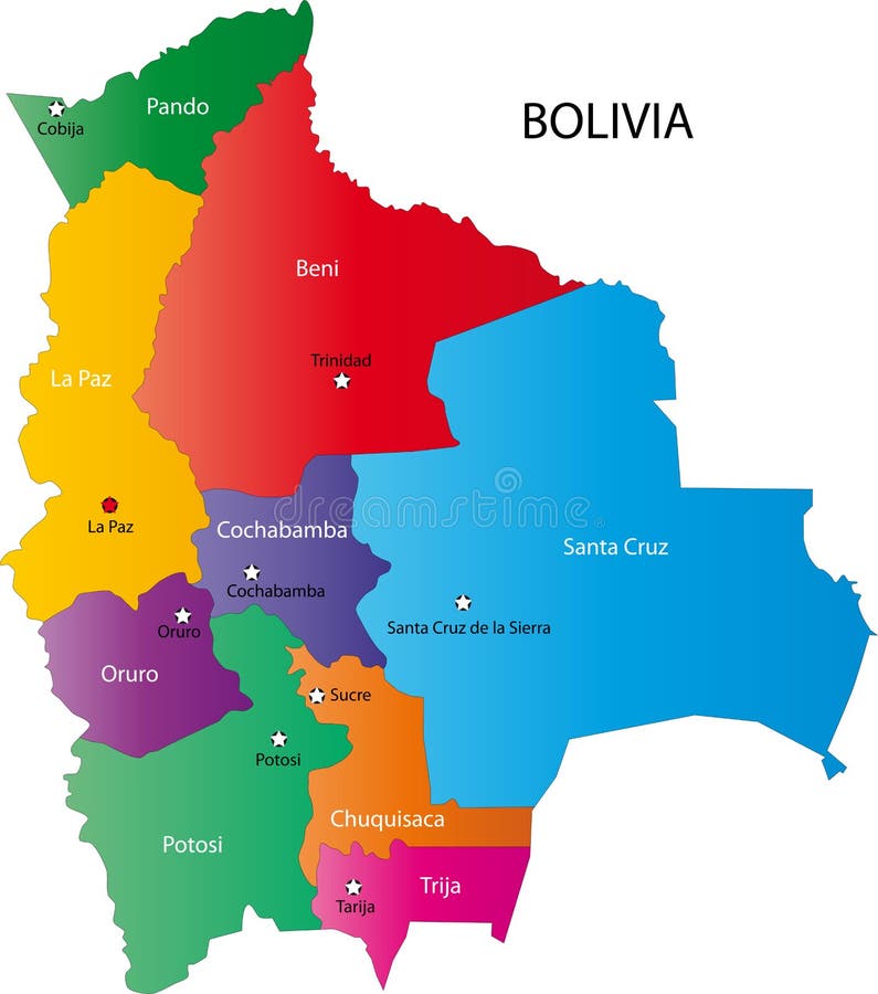
Free with trial Map of Bolivia. Bolivia map designed in illustration with the regions colored in bright colors and with the main cities. Bolivia vectors Map of Bolivia. Bolivia map designed in illustration with the regions colored in bright colors and with the main cities
Free with trial Vector illustration stickers or label of Bolivia with mountains and lamas. Flat design style. Bolivia vectors Round sticker label of Bolivia. Vector illustration stickers or label of Bolivia with mountains and lamas. Flat design style. Vector illustration stickers or label of Bolivia with mountains and lamas. Flat design style.
Free with trial Bolivia. Abstract vector color map of Bolivia country. Bolivia vectors Bolivia. Abstract vector color map of Bolivia country
Free with trial Parrot, Blue-and-Yellow Macaw (Ara ararauna), also known as the Blue-and-Gold Macaw. Llarge bird of the Ara genus, lived in the forest and woodland of tropical South America, in Trinidad, Venezuela, Peru, Brazil, Bolivia, Paraguay. Vector image. Bolivia vectors Parrot, Blue-and-Yellow Macaw. (Ara ararauna), also known as the Blue-and-Gold Macaw. Llarge bird of the Ara genus, lived in the forest and woodland of tropical. Parrot, Blue-and-Yellow Macaw (Ara ararauna), also known as the Blue-and-Gold Macaw. Llarge bird of the Ara genus, lived in the forest and woodland of tropical South America, in Trinidad, Venezuela, Peru, Brazil, Bolivia, Paraguay. Vector image
Free with trial Vector set of panorams countries South America - Chile, Peru, Argentina, Bolivia, Paraguay, Uruguay. Bolivia vectors Vector set of panorams countries South America. Chile, Peru, Argentina, Bolivia, Paraguay, Uruguay
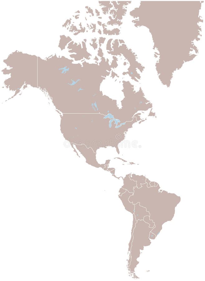
Free with trial America. Vector map america and illustration. Bolivia vectors America. Vector map america and illustration
Free with trial Ecuador map. Vector color map of Ecuador country. Bolivia vectors Ecuador map. Vector color map of Ecuador country
Free with trial A vector illustration of Toco Toucan (Ramphastos toco). Bolivia vectors Toco Toucan. Vector artwork. A vector illustration of Toco Toucan (Ramphastos toco. A vector illustration of Toco Toucan (Ramphastos toco).
Free with trial Parrot collection vector llustration. Parrot set isolated hand drawn vector llustration. Bolivia vectors Parrot collection vector llustration. Parrot set isolated hand drawn vector llustration
Free with trial Political map of Peru with capital Lima, national borders, most important cities, rivers and lakes. Vector illustration with English labeling and scaling. Bolivia vectors Peru Political Map. Political map of Peru with capital Lima, national borders, most important cities, rivers and lakes. Vector illustration with English labeling. Political map of Peru with capital Lima, national borders, most important cities, rivers and lakes. Vector illustration with English labeling and scaling.
Free with trial Peru map designed in illustration with the district colored in green and with the main cities. Bolivia vectors Vector Peru map. Peru map designed in illustration with the district colored in green and with the main cities. Peru map designed in illustration with the district colored in green and with the main cities.
Free with trial South america with names of countries -Vector -. Bolivia vectors South america. South america with names of countries -Vector. South america with names of countries -Vector -
Free with trial South America (coloured). Detailed vector South America, with border lines. Bolivia vectors South America (coloured). Detailed vector South America, with border lines
Free with trial Vector coffee labels. Set of vector coffee labels. Bolivia vectors Vector coffee labels. Set of vector coffee labels
Free with trial People in national dress. Set of Latin-American pairs dressed in traditional costume. National clothes. Vector illustration. Bolivia vectors Latin American people in national dress. People in national dress. Set of Latin-American pairs dressed in traditional costume. National clothes. Vector. People in national dress. Set of Latin-American pairs dressed in traditional costume. National clothes. Vector illustration.
Free with trial Political map of South America with single states,capitals and national borders. Vector illustration with english labeling and scale. Bolivia vectors South America Single States. Political map of South America with single states,capitals and national borders. Vector illustration with english labeling and scale. Political map of South America with single states,capitals and national borders. Vector illustration with english labeling and scale.
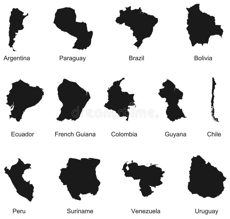
Free with trial Detailed vector illustration of 13 south america country maps. Bolivia vectors 13 South America Country Maps. Detailed vector illustration of 13 south america country maps. Detailed vector illustration of 13 south america country maps.
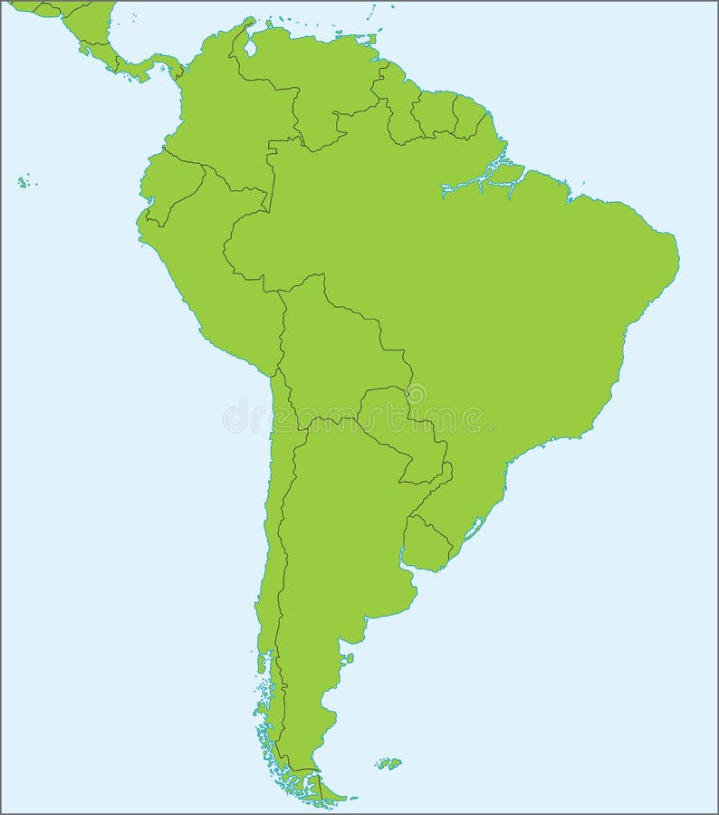
Free with trial South america 02. A basic map of south america with the countries in green and a blue background. Bolivia vectors South america 02. A basic map of south america with the countries in green and a blue background
Free with trial 3d North and Sout American continent. 3d Outline maps of the countries in North and South America continent. Bolivia vectors 3d North and Sout American continent. 3d Outline maps of the countries in North and South America continent
Free with trial An illustrated map of South America. Bolivia vectors South America. An illustrated map of South America. An illustrated map of South America.
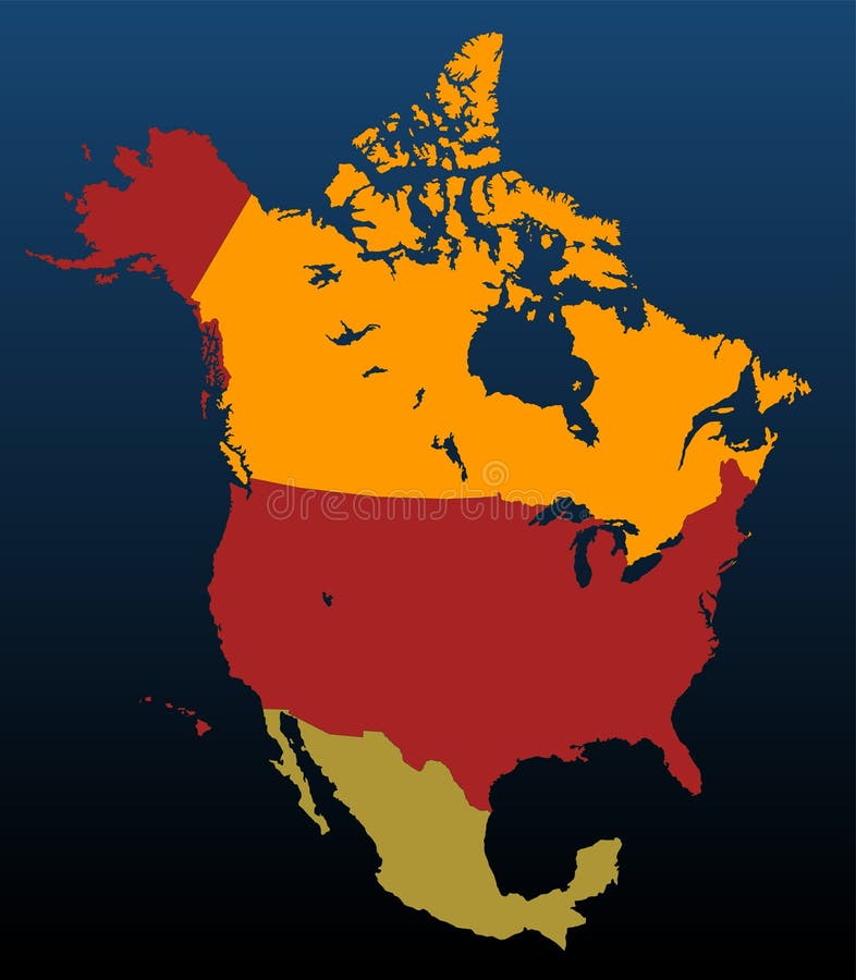
Free with trial North America (coloured). Detailed vector North America, with border lines. Bolivia vectors North America (coloured). Detailed vector North America, with border lines
Free with trial Southamerica map. Map of southamerica in green - every country seperated - editable in vector format. Bolivia vectors Southamerica map. Map of southamerica in green - every country seperated - editable in vector format
Free with trial North and Sout American continent. Outline maps of the countries in North and South America continent. Bolivia vectors North and Sout American continent. Outline maps of the countries in North and South America continent
Free with trial Map of Latin America. Vector illustration. Bolivia vectors Map of Latin America. Vector illustration
Free with trial Brazil map. Vector map of Brazil with regions and states. Bolivia vectors Brazil map. Vector map of Brazil with regions and states
Free with trial Chile Map. Highly detailed vector map of Chile with administrative regions, main cities and roads. Bolivia vectors Chile Map. Highly detailed vector map of Chile with administrative regions, main cities and roads
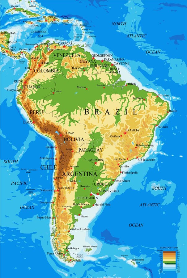
Free with trial Highly detailed physical map of South America, in vector format, with all the relief forms, countries and big cities. Bolivia vectors South America-physical map. Highly detailed physical map of South America, in vector format, with all the relief forms, countries and big cities. Highly detailed physical map of South America, in vector format, with all the relief forms, countries and big cities.
 Sign in