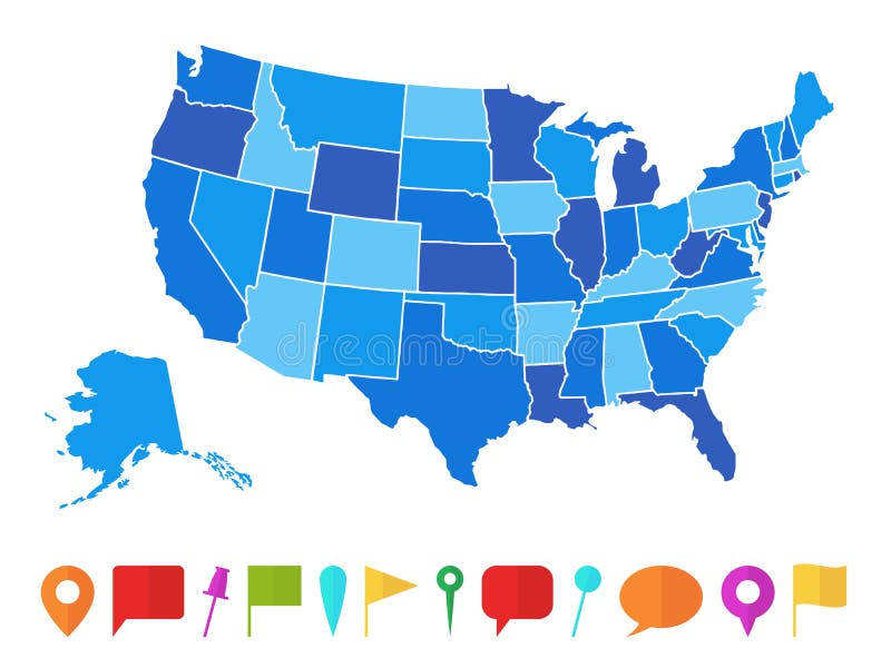
Free with trial Separable borders; United States. eps map in blue, with borders of states. Isolated against a white background. color is modifiable. Boundaries vectors USA/United States Map (Separable Borders Vector). Separable borders; United States .eps map in blue, with borders of states. Isolated against a white background. Separable borders; United States .eps map in blue, with borders of states. Isolated against a white background. color is modifiable.
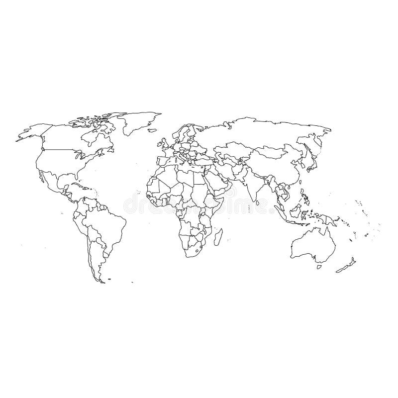
Free with trial Detailed world map and borders. Top quality vectorial world map with boundaries of all states. Boundaries vectors Detailed world map and borders. Top quality vectorial world map with boundaries of all states
Free with trial Map of the United States. A map of the United States wit. Boundaries vectors Map of the United States. A map of the United States wit
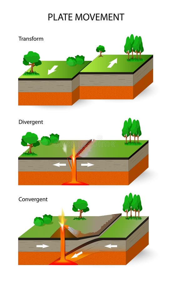
Free with trial A cross section illustrating the main types of tectonic plate boundaries. convergent, divergent, or transform. Earthquakes, volcanic activity, mountain-building, and oceanic trench formation occur along these plate boundaries. Boundaries vectors Tectonic plate boundaries. A cross section illustrating the main types of tectonic plate boundaries. convergent, divergent, or transform. Earthquakes, volcanic. A cross section illustrating the main types of tectonic plate boundaries. convergent, divergent, or transform. Earthquakes, volcanic activity, mountain-building, and oceanic trench formation occur along these plate boundaries.
Free with trial Vector antique world map with countries boundaries. Antique world vintage map, grunge america and europe illustration. Boundaries vectors Vector antique world map with countries boundaries. Antique world vintage map, grunge america and europe illustration
Free with trial Detailed vector World map with colorful continents, political boundaries, country names and 3D globes. Boundaries vectors Detailed vector World map with colorful continents. Political boundaries, country names and 3D globes
Free with trial Simple world map with countries. Silhouette of the world map with country boundaries. Boundaries vectors Simple world map with countries. Silhouette of the world map with country boundaries
Free with trial Map of Germany, national boundaries and national capitals. Boundaries vectors Map of Germany. National boundaries and national capitals
Free with trial Great Detail Illustration of the world map in vintage style with all countries boundaries and names on a old parchment background. Boundaries vectors Old Vintage World Map. Great Detail Illustration of the world map in vintage style with all countries boundaries and names on a old parchment background. Great Detail Illustration of the world map in vintage style with all countries boundaries and names on a old parchment background.
Free with trial Great Detail Illustration of the world map in vintage style with all countries boundaries and names on a old parchment background. Boundaries vectors Vintage Illustrated World Map. Great Detail Illustration of the world map in vintage style with all countries boundaries and names on a old parchment background. Great Detail Illustration of the world map in vintage style with all countries boundaries and names on a old parchment background.
Free with trial Tectonic Plates. Plate movement. A cross section illustrating the main types of tectonic plate boundaries. convergent, divergent, and transform. Boundaries vectors Tectonic Plates. Plate movement. Plate movement. A cross section illustrating the main types of tectonic plate boundaries. convergent, divergent, and transform
Free with trial Vector red map of Canada with state boundaries, isolated on white background. Boundaries vectors Canada Map (separable by province). Vector red map of Canada with state boundaries, isolated on white background. Vector red map of Canada with state boundaries, isolated on white background.
Free with trial A map of Europe with the boundaries of individual countries indicated by varying colors. Boundaries vectors Map of Europe. A map of Europe with the boundaries of individual countries indicated by varying colors. A map of Europe with the boundaries of individual countries indicated by varying colors.
Free with trial Grey world map globe isolated on white background. Detailed grey world map, mapped on an open globe, isolated on white background. Boundaries vectors Grey world map globe isolated on white background. Detailed grey world map, mapped on an open globe, isolated on white background
Free with trial Illustration of different sports courts and fields isolated against a black background. Boundaries vectors Sports courts and fields. Illustration of different sports courts and fields isolated against a black background. Illustration of different sports courts and fields isolated against a black background.
Free with trial Tennessee map. Illustrated design of the map of Tennessee (USA), including counties and county seats. Isolated against a white background. Boundaries vectors Tennessee map. Illustrated design of the map of Tennessee (USA), including counties and county seats. Isolated against a white background
Free with trial Colorful map of the state of Louisiana with counties and county seats. Boundaries vectors Map of Louisiana. Colorful map of the state of Louisiana with counties and county seats. Colorful map of the state of Louisiana with counties and county seats.
Free with trial Piano vector illustration in 2 versions, both editable: Color and Black/white options, EPS format available. Boundaries vectors Piano illustration. Piano vector illustration in 2 versions, both editable: Color and Black/white options, EPS format available. Piano vector illustration in 2 versions, both editable: Color and Black/white options, EPS format available.
Free with trial Asia map. Colorful Asia map with countries and capital cities. Boundaries vectors Asia map. Colorful Asia map with countries and capital cities
Free with trial A map of the African continent with each country on the continent colored in bright colors. Names of the countries and their capital are shown on a map too. Continent isolated on a white background. Boundaries vectors Map of Africa. A map of the African continent with each country on the continent colored in bright colors. Names of the countries and their capital are shown on. A map of the African continent with each country on the continent colored in bright colors. Names of the countries and their capital are shown on a map too. Continent isolated on a white background.
Free with trial Africa blind map. Blind map of Africa with country borders. Names of the countries and their capital are in an additional format (. AI) in the latent layer. Boundaries vectors Africa blind map. Blind map of Africa with country borders. Names of the countries and their capital are in an additional format (.AI) in the latent layer
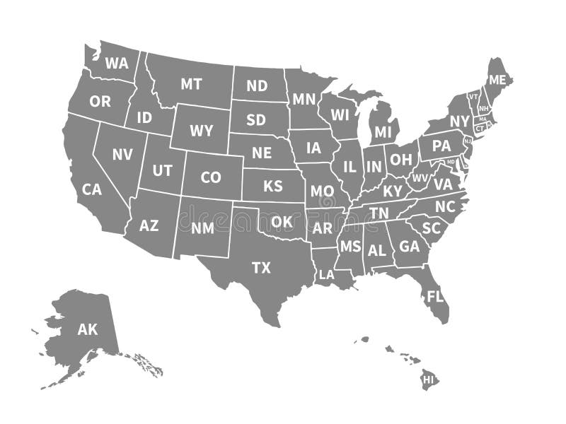
Free with trial Vector map of usa. On white background. Boundaries vectors Vector map of usa. On white background
Free with trial Color map of Japan with Russia, China, South and the North Korea. Very exact map. Boundaries vectors Color map of Japan. With Russia, China, South and the North Korea. Very exact map
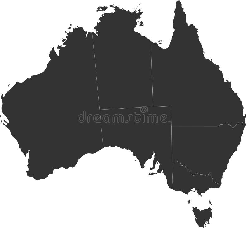
Free with trial Blind map of Australia with country borders. Names of the states and their the main cities are in an additional format (. AI) in the latent layer. Boundaries vectors Australia blind map. Blind map of Australia with country borders. Names of the states and their the main cities are in an additional format (. AI) in the latent. Blind map of Australia with country borders. Names of the states and their the main cities are in an additional format (. AI) in the latent layer
Free with trial Japan. Map designed in illustration with regions colored in bright colors. Vector illustration. Boundaries vectors Japan. Map designed in illustration with regions colored in bright colors. Vector illustration
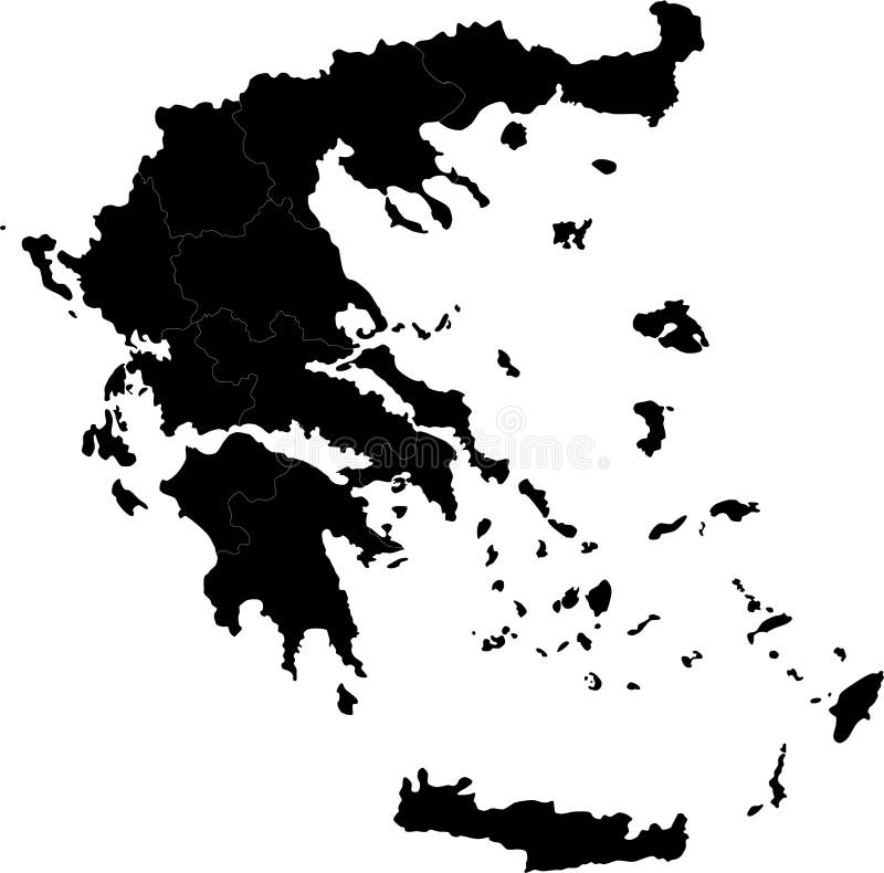
Free with trial Greece. Blind map of Greece with regions borders. Names of the regions, main cities, and neighbouring countries are in an additional format (. AI) in the latent. Boundaries vectors Greece. Blind map of Greece with regions borders. Names of the regions, main cities, and neighbouring countries are in an additional format (.AI) in the latent
Free with trial Vietnam map designed in illustration with the provinces and the main cities. (Map is hight resolution). Boundaries vectors Vietnam map. Designed in illustration with the provinces and the main cities. (Map is hight resolution
Free with trial Spain Map - Vector Illustration Design Element. Boundaries vectors SPAIN MAP. Vector Illustration Design Element. Spain Map - Vector Illustration Design Element
Free with trial Japan map. Designed in illustration with regions colored in green colors. Vector illustration. Boundaries vectors Japan map. Designed in illustration with regions colored in green colors. Vector illustration
Free with trial Panama map designed in illustration with the regions colored in bright colors and with the main cities. (Map is hight resolution). Boundaries vectors Panama map. Designed in illustration with the regions colored in bright colors and with the main cities. (Map is hight resolution
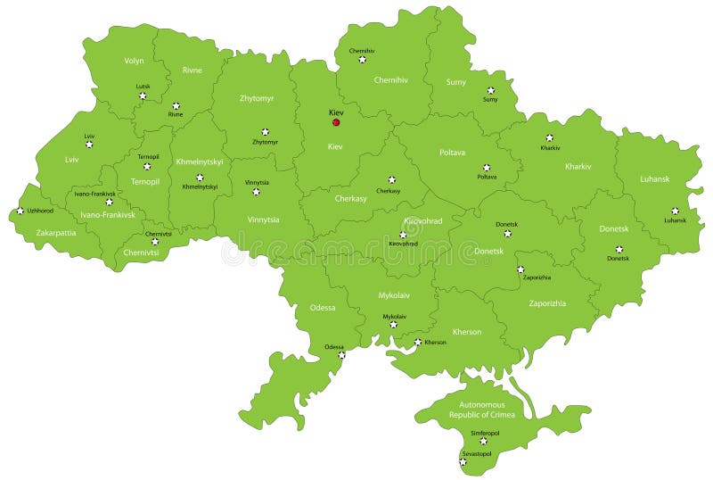
Free with trial Ukraine map designed in illustration with the oblasts colored in green colors and with the main cities. Neighbouring countries are in an additional format (. AI) in the latent layer. Boundaries vectors Ukraine map. Designed in illustration with the oblasts colored in green colors and with the main cities. Neighbouring countries are in an additional format (. Ukraine map designed in illustration with the oblasts colored in green colors and with the main cities. Neighbouring countries are in an additional format (. AI) in the latent layer.
Free with trial Indiana map. Colorful illustrated design of the map of Indiana (USA), including counties and county seats. Isolated against a white background. Boundaries vectors Indiana map. Colorful illustrated design of the map of Indiana (USA), including counties and county seats. Isolated against a white background
Free with trial Honduras map designed in illustration with the regions colored in bright colors and with the main cities. Boundaries vectors Honduras map. Designed in illustration with the regions colored in bright colors and with the main cities
Free with trial Sri Lanka map designed in illustration with the regions and provinces with the main cities. (Map is in high resolution). Boundaries vectors Sri Lanka map. Designed in illustration with the regions and provinces with the main cities. (Map is in high resolution
Free with trial Nicaragua map designed in illustration with the regions colored in bright colors and with the main cities. Boundaries vectors Nicaragua map. Designed in illustration with the regions colored in bright colors and with the main cities
Free with trial Map of Panama. Panama map designed in illustration with the regions colored in bright colors and with the main cities. (Map is hight resolution. Boundaries vectors Map of Panama. Panama map designed in illustration with the regions colored in bright colors and with the main cities. (Map is hight resolution
Free with trial Green map of the state of Louisiana with counties and county seats. Boundaries vectors Louisiana map. Green map of the state of Louisiana with counties and county seats. Green map of the state of Louisiana with counties and county seats.
Free with trial Map of Vietnam. Vietnam map designed in illustration with the regions and provinces colored in bright colors and with the main cities. (Map is hight resolution. Boundaries vectors Map of Vietnam. Vietnam map designed in illustration with the regions and provinces colored in bright colors and with the main cities. (Map is hight resolution
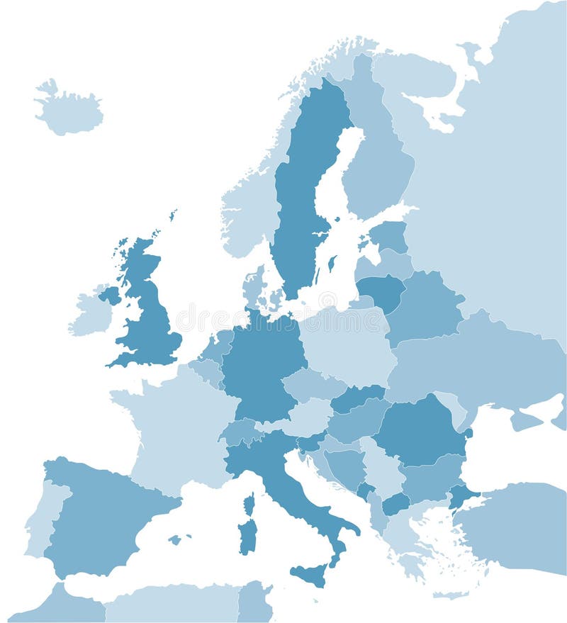
Free with trial Map of Europe in blue. Color coded map of the Europe. Boundaries vectors Map of Europe in blue. Color coded map of the Europe
Free with trial New Jersey State by counties. Vector map of New Jersey State by counties. Boundaries vectors New Jersey State by counties. Vector map of New Jersey State by counties
Free with trial Colorful Map of Maryland with county. Boundaries vectors Map of Maryland. Colorful Map of Maryland with county. Colorful Map of Maryland with county.
Free with trial A map of the Australian continent with the states on the continent colored in grey colors and the main cities. Boundaries vectors Map of Australia. A map of the Australian continent with the states on the continent colored in grey colors and the main cities. A map of the Australian continent with the states on the continent colored in grey colors and the main cities.
Free with trial State of New York designed in illustration with the counties and the main cities. (Map is hight resolution). Boundaries vectors State of New York. Designed in illustration with the counties and the main cities. (Map is hight resolution
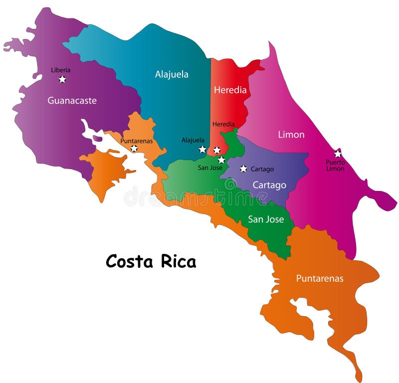
Free with trial Costa Rica map designed in illustration with 7 provinces colored in bright colors and with the main cities. Neighbouring countries are in an additional format (. AI) in the latent layer. Costa Rica map with. Boundaries vectors Map of Costa Rica. Costa Rica map designed in illustration with 7 provinces colored in bright colors and with the main cities. Neighbouring countries are in an. Costa Rica map designed in illustration with 7 provinces colored in bright colors and with the main cities. Neighbouring countries are in an additional format (.AI) in the latent layer. Costa Rica map with
Free with trial State of New York designed in illustration with the counties and the main cities. (Map is hight resolution). Boundaries vectors State of New York. Designed in illustration with the counties and the main cities. (Map is hight resolution
Free with trial Green Map of Maryland with county and cities. Boundaries vectors Maryland map (USA). Green Map of Maryland with county and cities. Green Map of Maryland with county and cities.
Free with trial Detailed Map of India. A Detailed Map of India with all states, names and boundaries. Boundaries vectors Detailed Map of India. A Detailed Map of India with all states, names and boundaries
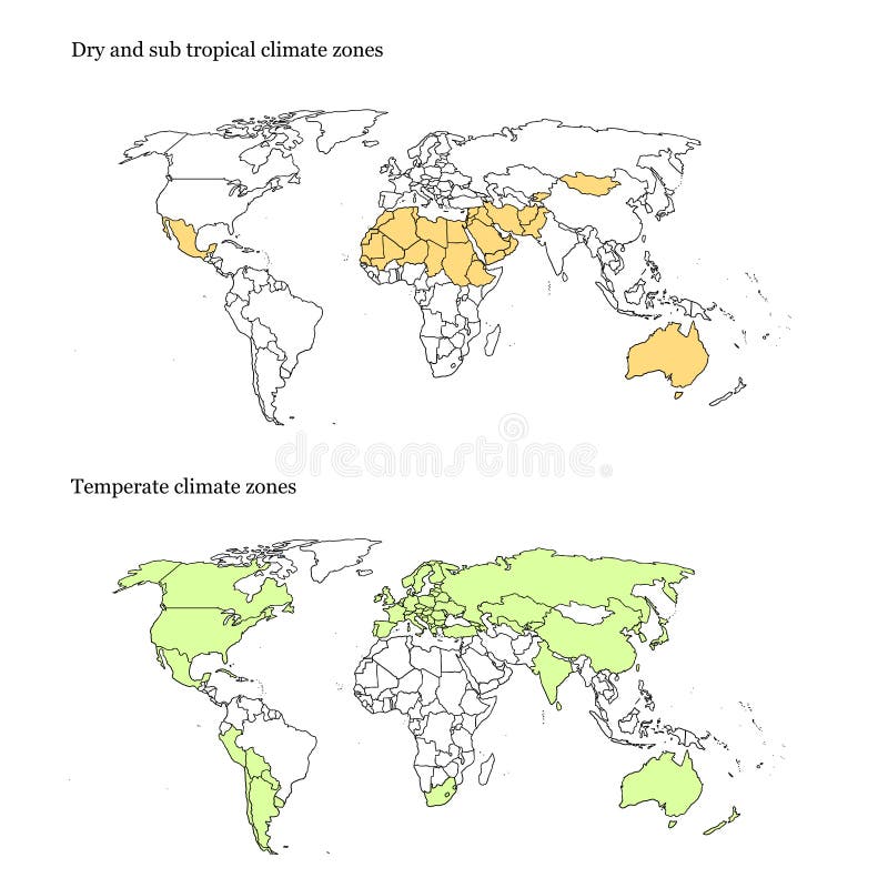
Free with trial World climate zones map. Vectorial and high resolution detailed map of the temperate and dry climates of the world. Boundaries vectors World climate zones map. Vectorial and high resolution detailed map of the temperate and dry climates of the world
Free with trial USA map. USA map with boundaries canada and mexico. Boundaries vectors USA map. USA map with boundaries canada and mexico
Free with trial Detailed vector shape of the Unites States of America including Alaska and Hawaii. This illustration is based on the maps of www. cia. gov. The states borders are on the separate layer and can be easily removed. Boundaries vectors USA shape. Detailed vector shape of the Unites States of America including Alaska and Hawaii. This illustration is based on the maps of . The states. Detailed vector shape of the Unites States of America including Alaska and Hawaii. This illustration is based on the maps of www.cia.gov. The states borders are on the separate layer and can be easily removed.
Free with trial Hawaii State map. Hawaii state vector map all islands. Boundaries vectors Hawaii State map. Hawaii state vector map all islands
Free with trial Europe vector map. European Union vector map - blue Europe map isolated on white background - all countries are separated by stroke boundaries. Boundaries vectors Europe vector map. European Union vector map - blue Europe map isolated on white background - all countries are separated by stroke boundaries
Free with trial Illinois State map. Illinois State vector map by counties. Boundaries vectors Illinois State map. Illinois State vector map by counties
Free with trial An illustrated view of the outline and borders of the countries of Europe. Boundaries vectors Map of Europe. An illustrated view of the outline and borders of the countries of Europe. An illustrated view of the outline and borders of the countries of Europe.
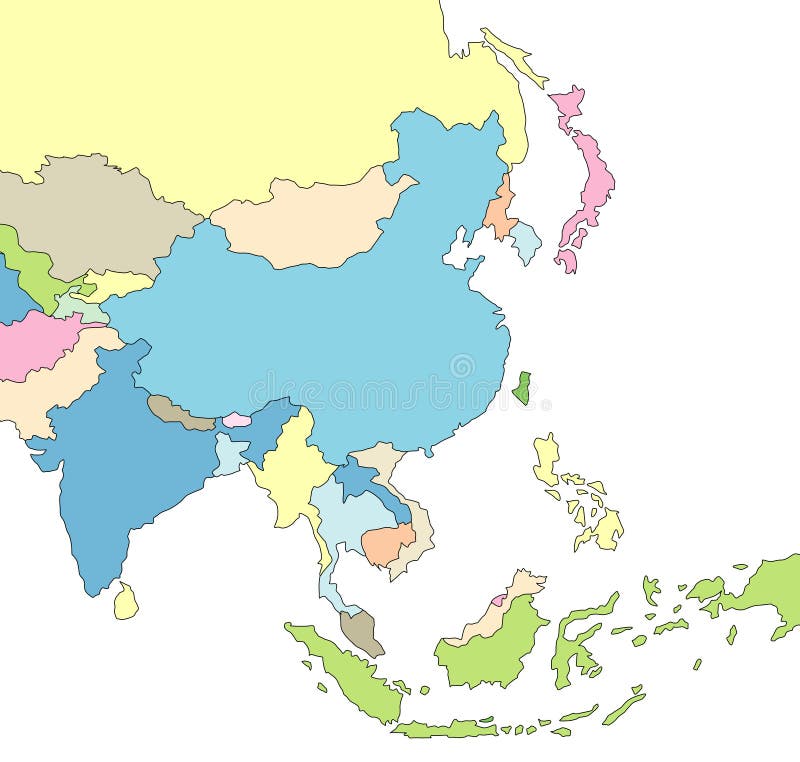
Free with trial Illustrated Map of Asia. Illustration of map of Asia with borders. Boundaries vectors Illustrated Map of Asia. Illustration of map of Asia with borders
Free with trial Detailed vector World map with colorful continents and flat map pointers. Boundaries vectors Detailed vector World map with colorful continents and flat map. Pointers
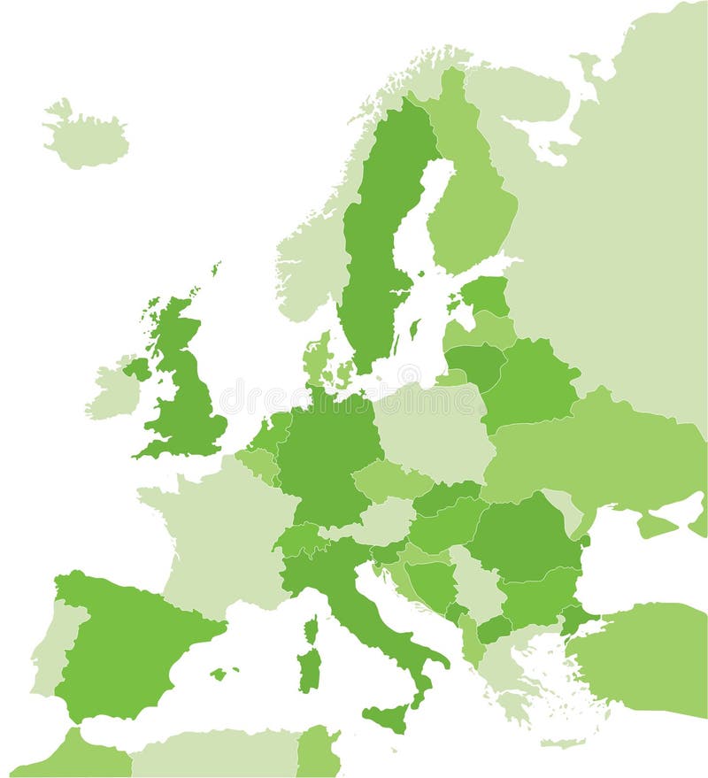
Free with trial Map of Europe in green. Color coded map of the Europe. Boundaries vectors Map of Europe in green. Color coded map of the Europe
Free with trial Map of Europe in orange. Color coded map of the Europe. Boundaries vectors Map of Europe in orange. Color coded map of the Europe
Free with trial Florida counties. Florida state counties map with boundaries and names. Eps file contains separate layers with county name, boundaries and layer with counties. Boundaries vectors Florida counties. Florida state counties map with boundaries and names. Eps file contains separate layers with county name, boundaries and layer with counties
Free with trial Costa Rica map designed in illustration with 7 provinces colored in green colors and with the main cities. Neighbouring countries are in an additional format (. AI) in the latent layer. Boundaries vectors Vector Costa Rica map. Costa Rica map designed in illustration with 7 provinces colored in green colors and with the main cities. Neighbouring countries are in. Costa Rica map designed in illustration with 7 provinces colored in green colors and with the main cities. Neighbouring countries are in an additional format (.AI) in the latent layer.
Free with trial Poland Map - Vector Illustration Design Element. Boundaries vectors POLAND MAP. Vector Illustration Design Element. Poland Map - Vector Illustration Design Element
Free with trial Blue world map. World map with retro feel - slightly roughened map boundaries. Boundaries vectors Blue world map. World map with retro feel - slightly roughened map boundaries
Free with trial Chicago Illinois city icons and attractions map. Icons of various chicago landmarks and city atractions. Boundaries vectors Chicago Illinois city icons and attractions map. Icons of various chicago landmarks and city atractions
Free with trial Globe collection. 8 views of the earth with country boundaries. Boundaries vectors Globe Collection. 8 views of the earth with country boundaries
Free with trial Black world map globe isolated on white background. Detailed black world map, mapped on an open globe, isolated on white background. Boundaries vectors Black world map globe isolated on white background. Detailed black world map, mapped on an open globe, isolated on white background
Free with trial Simplified World map, black on White background. Each country is a separate shape. (Vector). Boundaries vectors World Map Black Only. Simplified World map, black on White background. Each country is a separate shape. (Vector. Simplified World map, black on White background. Each country is a separate shape. (Vector)
Free with trial Illustrated Map of Africa. Illustration of map of Africa with country borders. Boundaries vectors Illustrated Map of Africa. Illustration of map of Africa with country borders
Free with trial Illustration of Australia and its territories. Brown tones isolated on white background. Boundaries vectors Australia Map Illustration. Illustration of Australia and its territories. Brown tones isolated on white background. Illustration of Australia and its territories. Brown tones isolated on white background.
Free with trial Maryland State by counties. Vector map of Maryland State by counties. Boundaries vectors Maryland State by counties. Vector map of Maryland State by counties
Free with trial Usa map. Infographic us map with grey states and pins, topographic info outline road, travel poster vote vector election president. Boundaries vectors Usa map. Infographic us map with states and pins, topographic info outline road, travel poster vote vector election. Usa map. Infographic us map with grey states. Usa map. Infographic us map with grey states and pins, topographic info outline road, travel poster vote vector election president
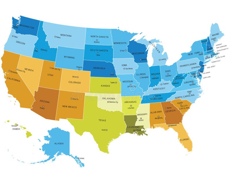
Free with trial USA states map with names of cities. Eps file contains separate layers with state and sities name, boundaries and layer with counties. Boundaries vectors USA map with names of states. USA states map with names of cities. Eps file contains separate layers with state and sities name, boundaries and layer with. USA states map with names of cities. Eps file contains separate layers with state and sities name, boundaries and layer with counties.
Free with trial GREECE MAP. Greece vector map silhouette illustration. Boundaries vectors GREECE MAP. Greece vector map silhouette illustration
Free with trial Minnesota State by counties. Vector map of Minnesota State by counties. Boundaries vectors Minnesota State by counties. Vector map of Minnesota State by counties
Free with trial Tennessee State by counties. Vector map of Tennessee State by counties. Boundaries vectors Tennessee State by counties. Vector map of Tennessee State by counties
Free with trial Kentucky State map by counties. Kentucky State vector map by counties. Boundaries vectors Kentucky State map by counties. Kentucky State vector map by counties
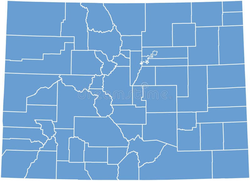
Free with trial Colorado State map by counties. Colorado state vector map by counties. Boundaries vectors Colorado State map by counties. Colorado state vector map by counties
Free with trial Usa map. Infographic us country map with multi-colored states and pins, topographic info outline road, travel poster vector illustration. Boundaries vectors Usa map. Infographic us map with multi-colored states and pins, topographic info outline road, travel poster vector. Usa map. Infographic us country map with. Usa map. Infographic us country map with multi-colored states and pins, topographic info outline road, travel poster vector illustration
Free with trial Indiana State map by counties. Indiana State vector map by counties. Boundaries vectors Indiana State map by counties. Indiana State vector map by counties
Free with trial Turkey Map - Vector Illustration Design Element. Boundaries vectors TURKEY MAP. Vector Illustration Design Element. Turkey Map - Vector Illustration Design Element
Free with trial The state of Texas outlined in a set of different versions. Vector illustration. Boundaries vectors State of Texas. The state of Texas outlined in a set of different versions. Vector illustration. The state of Texas outlined in a set of different versions. Vector illustration.
 Sign in