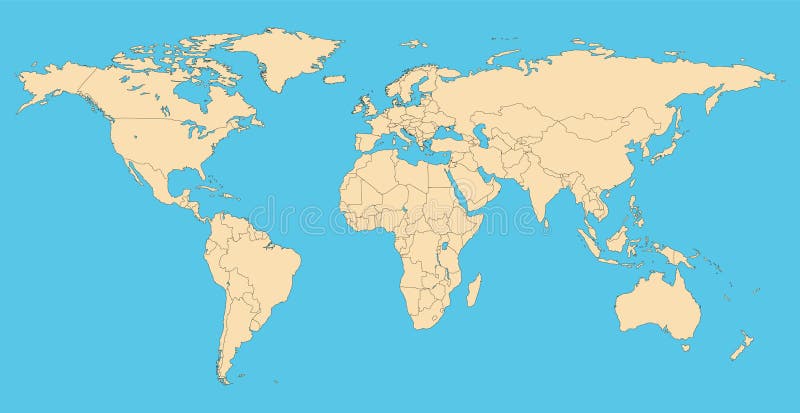
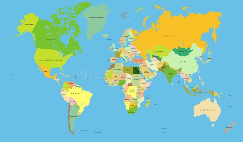
Free with trial World map with countries. High resolution and vector World map with countries America, Asia, Europe, Australia, Africa. Countries vectors World map with countries. High resolution and vector World map with countries America, Asia, Europe, Australia, Africa
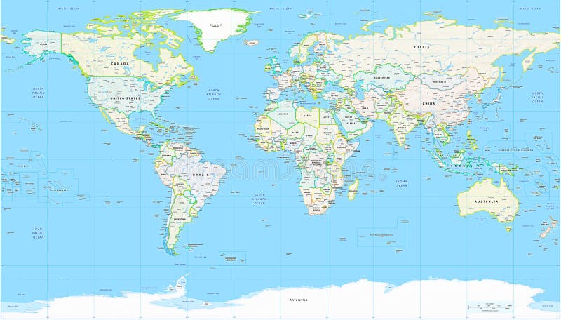
Free with trial Highly detailed physical map of the world,in vector format,with all the relief forms,countries and big cities. Countries vectors Physical map of the world. Highly detailed physical map of the world,in vector format,with all the relief forms,countries and big cities. Highly detailed physical map of the world,in vector format,with all the relief forms,countries and big cities.
Free with trial Vector map of the countries of Europe. Hand drawn vector file, every country on separate layer with names. Countries vectors Europe vector map. Vector map of the countries of Europe. Hand drawn vector file, every country on separate layer with names. Vector map of the countries of Europe. Hand drawn vector file, every country on separate layer with names.
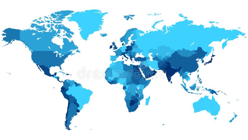
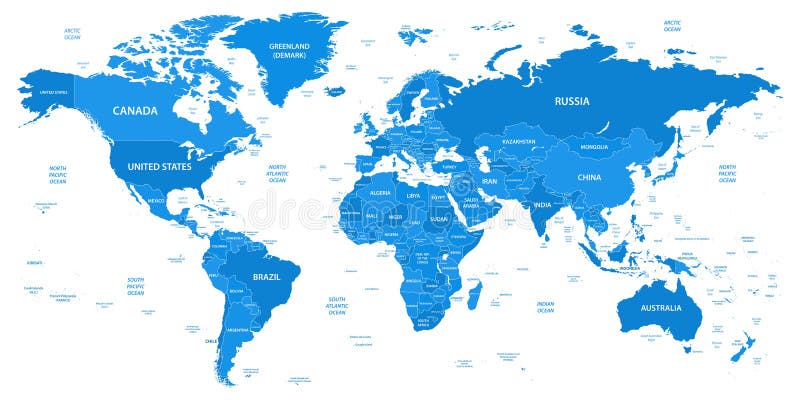
Free with trial Detailed map of the World with countries in blue colors. Vector illustration. Countries vectors Blue World map with countries. Detailed map of the World with countries in blue colors. Vector illustration. Detailed map of the World with countries in blue colors. Vector illustration.
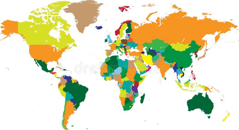
Free with trial World map countries in vectors. World map with countries in vector format. Countries vectors World map countries in vectors. World map with countries in vector format
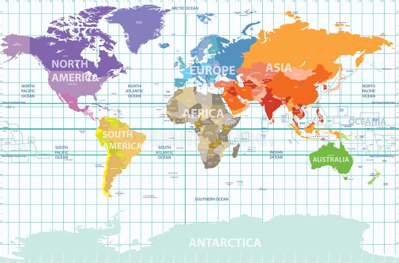
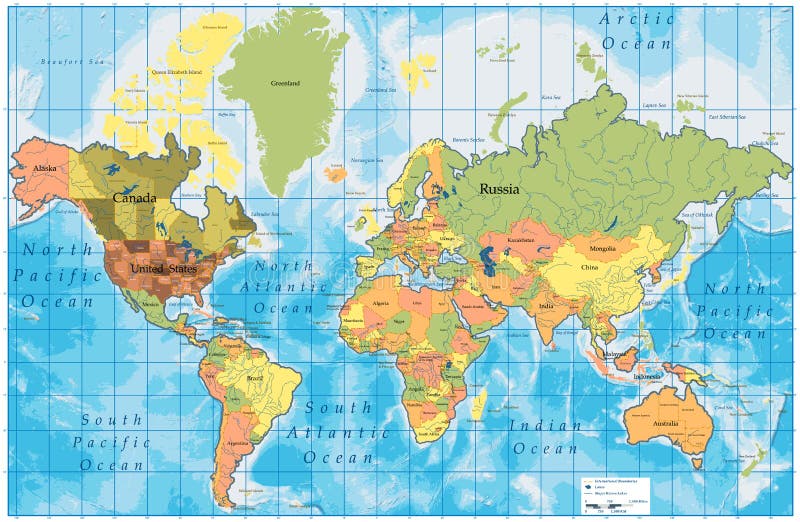
Free with trial Vector political map of the world with all continents separated by color, labeled countries and oceans, and with enumerated longitudes and latitudes on background. Countries vectors Political map of the world with all continents separated by color, labeled countries and oceans, and with enumerated longitudes an. Vector political map of the. Vector political map of the world with all continents separated by color, labeled countries and oceans, and with enumerated longitudes and latitudes on background
Free with trial World map with countries in cool colors. Vector illustration. Countries vectors Extruded World map with countries. World map with countries in cool colors. Vector illustration. World map with countries in cool colors. Vector illustration.
Free with trial Dot world map with countries, vector. Political dot world map with countries, vector illustration map source NASA Public Domain. Countries vectors Dot world map with countries, vector. Political dot world map with countries, vector illustration map source NASA Public Domain
Free with trial Hand drawing World Map with countries, Vector Illustration. Countries vectors Hand drawing World Map with countries. Vector Illustration
Free with trial Map of European Countries. In blue and grey tones. Countries vectors Map of European Countries. In blue and grey tones
Free with trial Popular food of different countries pattern. Popular food dishes of different countries pattern lots of sushi burgers pizza steak. Countries vectors Popular food of different countries pattern. Popular food dishes of different countries pattern lots of sushi burgers pizza steak
Free with trial Vector illustrations of all asian countries. Countries vectors Asian countries vectors. Vector illustrations of all asian countries. Vector illustrations of all asian countries.
Free with trial High detailed world political map with countries and oceans names and locationnavigation icons. All layers detached and labeled. Vector. Countries vectors Vector high detailed world political map with countries and oceans. High detailed world political map with countries and oceans names and locationnavigation. High detailed world political map with countries and oceans names and locationnavigation icons. All layers detached and labeled. Vector
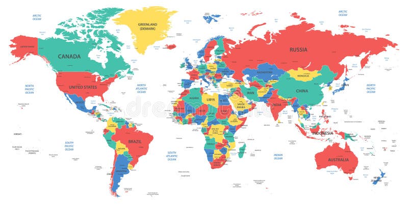
Free with trial Vector World map with countries borders. Abstract red and yellow World countries on map. Planet Earth with borders. Countries vectors Vector World map with countries borders. Abstract red and yellow World countries on map. Planet Earth with borders
Free with trial World map with countries in warm colors. Vector illustration. Countries vectors World map with countries in warm colors. Vector illustration
Free with trial Detailed world map with countries. Colored in various colors: from red on equator to deep blue near poles. Vector illustration. Countries vectors World map with countries colored from equator. Detailed world map with countries. Colored in various colors: from red on equator to deep blue near poles. Vector. Detailed world map with countries. Colored in various colors: from red on equator to deep blue near poles. Vector illustration.
Free with trial Vector set of vintage style post stamps from countries and cities around the world. Countries vectors Vector set of vintage style post stamps from countries and cities around the world.
Free with trial World map with countries borders. Worldmap background for reports and infographics. Countries vectors World map with countries borders. Worldmap background for reports and infographics
Free with trial World map with countries isolated on white background. Vector illustration. Eps 10. Countries vectors World map with countries isolated on white background. Vector illustration. Eps 10
Free with trial Funny cartoon map of Europe with childrens of different nationalities, representative monuments, animals and objects of all the countries. Vector illustration for preschool education and kids design. Countries vectors Funny cartoon map of Europe with childrens, representative monuments, animals and objects of all the countries. Funny cartoon map of Europe with childrens of. Funny cartoon map of Europe with childrens of different nationalities, representative monuments, animals and objects of all the countries. Vector illustration for preschool education and kids design
Free with trial Detailed world map with borders, countries and cities. Vector illustration. Countries vectors Detailed world map with borders, countries and cities. Vector illustration
Free with trial Detailed world map with borders, countries, water objects. Vector illustration. Countries vectors Detailed world map with borders, countries, water objects. Vector illustration
Free with trial Detailed World Map with all Names of Countries, river, lake, oceans, seas. EPS 10 file included. Countries vectors Detailed World Map with all Names of Countries. River, lake, oceans, seas. EPS 10 file included
Free with trial Vector set vintage postage stamps from countries all over world stamp different mail grunge postmark illustration. Old postcard retro border arrival frame. Countries vectors Vector set vintage postage stamps from countries all over world stamp different mail grunge postmark illustration. Old postcard retro border arrival frame
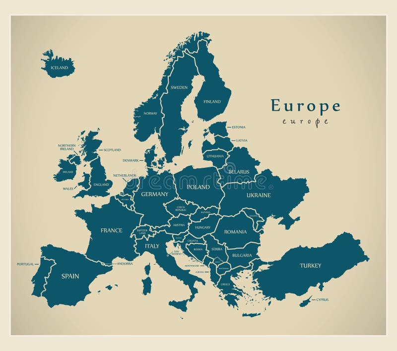
Free with trial Modern Map - Europe with countries and labels. Illustration. Countries vectors Modern Map - Europe with countries and labels. Illustration
Free with trial United Kingdom UK - Europe Countries Map Vector Icon Template Illustration Design. Editable Vector EPS 10. Countries vectors United Kingdom UK - Europe Countries Map Vector Icon Template Illustration Design. Vector EPS 10. United Kingdom UK - Europe Countries Map Vector Icon Template. United Kingdom UK - Europe Countries Map Vector Icon Template Illustration Design. Editable Vector EPS 10.
Free with trial World Countries flags with names. In white background drawing by illustration -World Countries flag collection-Vector. Countries vectors World Countries flags with names. In white background drawing by illustration -World Countries flag collection-Vector
Free with trial Illustrations showing all the European countries flags (Albania, Andorra, Austria, Belarus, Belgium, Bosnia, Bulgaria, Croatia, Czech Republic, Denmark, Estonia, Finland, France, Germany, Greece, Hungary, Iceland, Ireland, Italy, Latvia, Liechtenstein, Lithuania, Luxembourg, Macedonia, Malta, Moldova, Monaco, Montenegro, Netherlands, Norway, Poland, Portugal, Romania, Russia, San Marino, Serbia, Slovakia, Slovenia, Spain, Sweden, Switzerland, Turkey, Ukraine, United Kingdom, Vatican City), flags of Kosovo (independence declaration 17th February 2008), England, Northern Ireland, Scotland, Wales and European Union. Each flag is 750x500 pixels and thoroughly drawn. Eps file available. In my portfolio you can find also the 'Asian Countries Flags' illustration. Countries vectors European Countries Flags. Illustrations showing all the European countries flags (Albania, Andorra, Austria, Belarus, Belgium, Bosnia, Bulgaria, Croatia, Czech. Illustrations showing all the European countries flags (Albania, Andorra, Austria, Belarus, Belgium, Bosnia, Bulgaria, Croatia, Czech Republic, Denmark, Estonia, Finland, France, Germany, Greece, Hungary, Iceland, Ireland, Italy, Latvia, Liechtenstein, Lithuania, Luxembourg, Macedonia, Malta, Moldova, Monaco, Montenegro, Netherlands, Norway, Poland, Portugal, Romania, Russia, San Marino, Serbia, Slovakia, Slovenia, Spain, Sweden, Switzerland, Turkey, Ukraine, United Kingdom, Vatican City), flags of Kosovo (independence declaration 17th February 2008), England, Northern Ireland, Scotland, Wales and European Union. Each flag is 750x500 pixels and thoroughly drawn. Eps file available. In my portfolio you can find also the 'Asian Countries Flags' illustration.
Free with trial Illustrations showing all the North and South America countries flags (Antigua and Barbuda, Argentina, Bahamas, Barbados, Belize, Bolivia, Brazil, Canada, Chile, Colombia, Costa Rica, Cuba, Dominica, Dominican Republic, Ecuador, El Salvador, Grenada, Guatemala, Guyana, Haiti, Honduras, Jamaica, Mexico, Nicaragua, Panama, Paraguay, Peru, Saint Kitts and Nevis, Saint Lucia, Saint Vincent and the Grenadines, Suriname, Trinidad and Tobago, United States, Uruguay, Venezuela) and the flags of Greenland and Puerto Rico. Each flag is 750x500 pixels and thoroughly drawn. Eps file available. Countries vectors American Countries Flags. Illustrations showing all the North and South America countries flags (Antigua and Barbuda, Argentina, Bahamas, Barbados, Belize. Illustrations showing all the North and South America countries flags (Antigua and Barbuda, Argentina, Bahamas, Barbados, Belize, Bolivia, Brazil, Canada, Chile, Colombia, Costa Rica, Cuba, Dominica, Dominican Republic, Ecuador, El Salvador, Grenada, Guatemala, Guyana, Haiti, Honduras, Jamaica, Mexico, Nicaragua, Panama, Paraguay, Peru, Saint Kitts and Nevis, Saint Lucia, Saint Vincent and the Grenadines, Suriname, Trinidad and Tobago, United States, Uruguay, Venezuela) and the flags of Greenland and Puerto Rico. Each flag is 750x500 pixels and thoroughly drawn. Eps file available.
Free with trial Illustrations showing all the Asian countries flags (Afghanistan, Armenia, Azerbaijan, Bahrain, Bangladesh, Bhutan, Brunei, Cambodia, China, Cyprus, East Timor, Georgia, India, Indonesia, Iran, Iraq, Israel, Japan, Jordan, Kazakhstan, Kuwait, Kyrgyzstan, Laos, Lebanon, Malaysia, Maldives, Mongolia, Myanmar, Nepal, North Korea, Oman, Pakistan, Palestine, Philippines, Qatar, Saudi Arabia, Singapore, South Korea, Sri Lanka, Syria, Taiwan, Tajikistan, Thailand, Turkmenistan, United Arab Emirates, Uzbekistan, Vietnam, Yemen) and the flags of Hong Kong, Macau and Tibet. Check my portfolio for the Russia and Turkey flags, included in the ‘European Countries Flags’ illustration. Each flag is 750x500 pixels and thoroughly drawn. Eps file available. Countries vectors Asian Countries Flags. Illustrations showing all the Asian countries flags (Afghanistan, Armenia, Azerbaijan, Bahrain, Bangladesh, Bhutan, Brunei, Cambodia. Illustrations showing all the Asian countries flags (Afghanistan, Armenia, Azerbaijan, Bahrain, Bangladesh, Bhutan, Brunei, Cambodia, China, Cyprus, East Timor, Georgia, India, Indonesia, Iran, Iraq, Israel, Japan, Jordan, Kazakhstan, Kuwait, Kyrgyzstan, Laos, Lebanon, Malaysia, Maldives, Mongolia, Myanmar, Nepal, North Korea, Oman, Pakistan, Palestine, Philippines, Qatar, Saudi Arabia, Singapore, South Korea, Sri Lanka, Syria, Taiwan, Tajikistan, Thailand, Turkmenistan, United Arab Emirates, Uzbekistan, Vietnam, Yemen) and the flags of Hong Kong, Macau and Tibet. Check my portfolio for the Russia and Turkey flags, included in the ‘European Countries Flags’ illustration. Each flag is 750x500 pixels and thoroughly drawn. Eps file available.
Free with trial Illustration featuring set of 50 glossy round buttons or badges concerning European countries flags isolated on white background. Eps file is available. Countries vectors Glossy Buttons European Countries Flags. Illustration featuring set of 50 glossy round buttons or badges concerning European countries flags isolated on white. Illustration featuring set of 50 glossy round buttons or badges concerning European countries flags isolated on white background. Eps file is available
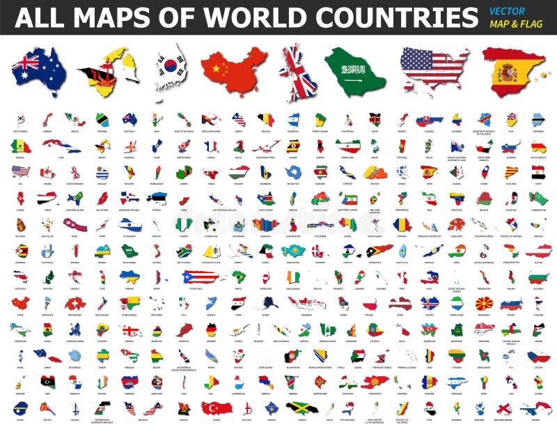
Free with trial All maps of world countries and flags. Collection of outline shape of international country map with shadow. Flat design. Vector. Countries vectors All maps of world countries and flags . Collection of outline shape of international country map with shadow . Flat design . Vector
Free with trial Vector map of Africa continent colored by regions. All flags of African countries arranged in alphabetical order. And singled out by regions. Countries vectors Vector map of Africa continent colored by regions. All flags of African countries arranged in alphabetical order. And singled out by regions
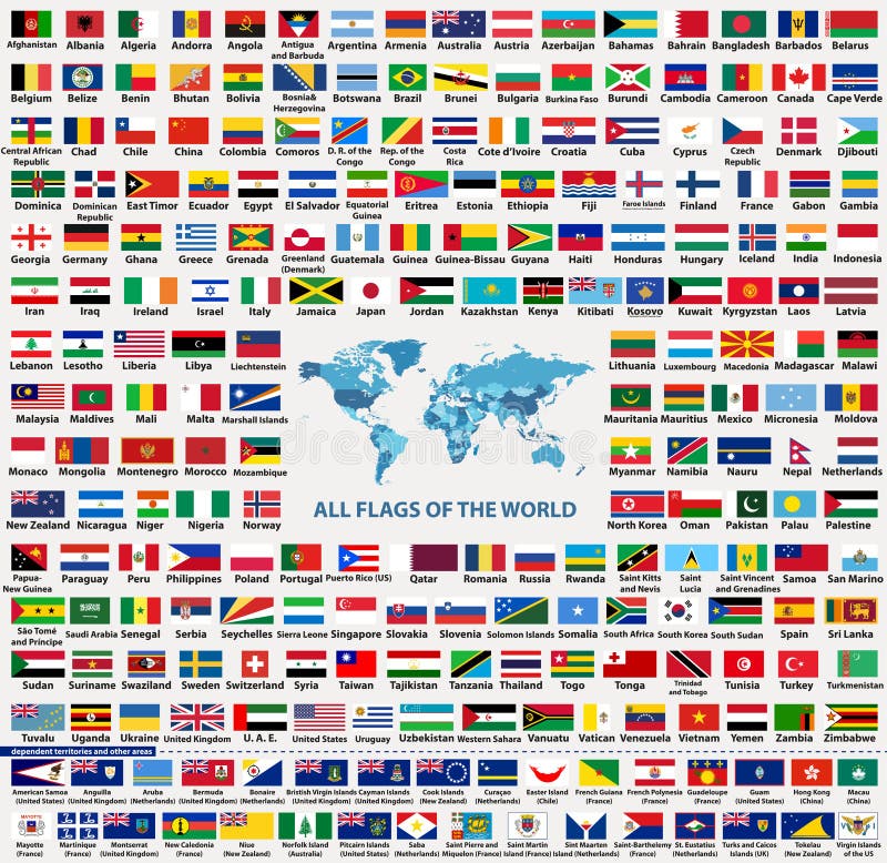
Free with trial Vector set of all world countries flags sovereign states, dependent, overseas territories and other areas,-total of 232 flags. Map of the world with countries names and borders in blue color palette. Countries vectors Vector set of all world countries flags sovereign states, dependent, overseas territories and other areas,-total of 232 flags. Map of the world with countries
Free with trial African countries flags. Frame made of African countries flags vector illustration. Countries vectors African countries flags. Frame made of African countries flags vector illustration
Free with trial Buttons with Asian countries flags. Set of buttons with Asian countries flags vector illustration. Countries vectors Buttons with Asian countries flags. Set of buttons with Asian countries flags vector illustration
Free with trial Soccer balls concerning flags of European countries participating to the final tournament of Euro 2016 football championship. Countries vectors Soccer Ball European Countries Flags Euro 2016. Soccer balls concerning flags of European countries participating to the final tournament of Euro 2016 football. Soccer balls concerning flags of European countries participating to the final tournament of Euro 2016 football championship
Free with trial Blind map of Germany with regions borders. Names of the regions, main cities, and neighbouring countries are in an additional format (. AI) in the latent layer. Countries vectors Blind map of Germany. With regions borders. Names of the regions, main cities, and neighbouring countries are in an additional format (.AI) in the latent layer
Free with trial Europe map. Europe colour vector map with the signed countries. (. eps file - high resolution. Countries vectors Europe map. Europe colour vector map with the signed countries. (.eps file - high resolution
Free with trial Detailed Physical World Map with all names of countries, cities and capitals, river, lake, oceans, seas, islands, South Pole and North Pole. Countries vectors World Map Detailed Physical Map. Detailed Physical World Map with all names of countries, cities and capitals, river, lake, oceans, seas, islands, South Pole and. Detailed Physical World Map with all names of countries, cities and capitals, river, lake, oceans, seas, islands, South Pole and North Pole
Free with trial Detailed world map. Of continents with countries on white background. Countries vectors Detailed world map. Of continents with countries on white background
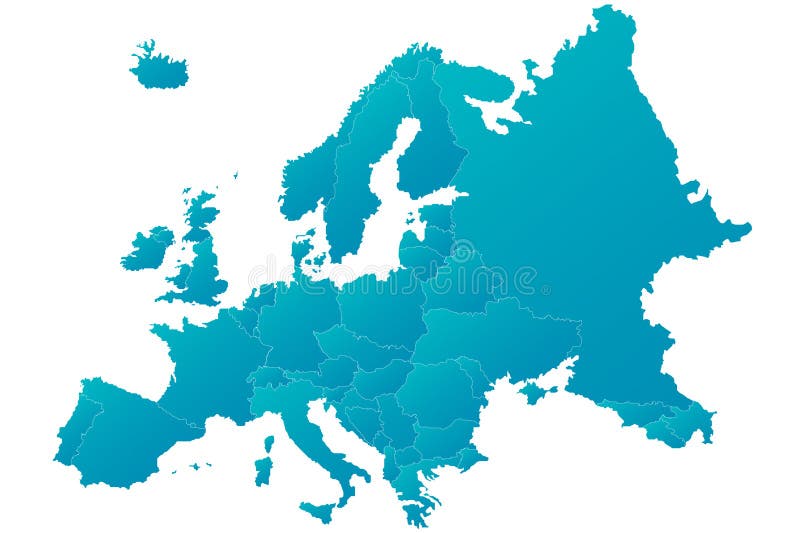
Free with trial Europe map highly detailed blue vector. Highly detailed blue Europe map with separated countries. Blue gradient with isolated background. Countries vectors Europe map highly detailed blue vector. Highly detailed blue Europe map with separated countries. Blue gradient with isolated background
Free with trial Asia map. Colorful Asia map with countries and capital cities. Countries vectors Asia map. Colorful Asia map with countries and capital cities
Free with trial A map of the African continent with each country on the continent colored in bright colors. Names of the countries and their capital are shown on a map too. Continent isolated on a white background. Countries vectors Map of Africa. A map of the African continent with each country on the continent colored in bright colors. Names of the countries and their capital are shown on. A map of the African continent with each country on the continent colored in bright colors. Names of the countries and their capital are shown on a map too. Continent isolated on a white background.
Free with trial Africa blind map. Blind map of Africa with country borders. Names of the countries and their capital are in an additional format (. AI) in the latent layer. Countries vectors Africa blind map. Blind map of Africa with country borders. Names of the countries and their capital are in an additional format (.AI) in the latent layer
Free with trial Europe vector map with the designated borders and the signed countries. (. eps file - high resolution). Countries vectors Europe vector map. With the designated borders and the signed countries. (.eps file - high resolution
Free with trial Detailed world map , Vector. Detailed world map with countries and cities. Countries vectors Detailed world map , Vector. Detailed world map with countries and cities
Free with trial Detailed Political World Map with all names of countries, cities and capitals, river, lake, oceans, seas, islands, South Pole and North Pole. Countries vectors World Map Detailed Political Map. Detailed Political World Map with all names of countries, cities and capitals, river, lake, oceans, seas, islands, South Pole. Detailed Political World Map with all names of countries, cities and capitals, river, lake, oceans, seas, islands, South Pole and North Pole
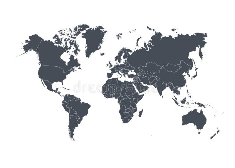
Free with trial Simple world map with countries. Silhouette of the world map with country boundaries. Countries vectors Simple world map with countries. Silhouette of the world map with country boundaries
Free with trial Globe views vector. Planet earth globe drawing, different views and countries + vector eps file. Countries vectors Globe views vector. Planet earth globe drawing, different views and countries + vector eps file. Planet earth globe drawing, different views and countries + vector eps file
Free with trial Detailed world map with countries, big cities and other labels. Countries vectors World map-countries. Detailed world map with countries, big cities and other labels. Detailed world map with countries, big cities and other labels.
Free with trial Great Detail Illustration of the world map in vintage style with all countries boundaries and names on a old parchment background. Countries vectors Old Vintage World Map. Great Detail Illustration of the world map in vintage style with all countries boundaries and names on a old parchment background. Great Detail Illustration of the world map in vintage style with all countries boundaries and names on a old parchment background.
Free with trial India map designed in illustration with the regions colored in bright colors and with the main cities. On an illustration neighbouring countries are shown too. Countries vectors Map of India. India map designed in illustration with the regions colored in bright colors and with the main cities. On an illustration neighbouring countries. India map designed in illustration with the regions colored in bright colors and with the main cities. On an illustration neighbouring countries are shown too
Free with trial World political map. Europe centered Mercator projection. Land areas have a drop shadow effect in the image format only. Countries and oceans labeled in EPS version. Countries vectors World Political Map. Europe centered Mercator projection. Land areas have a drop shadow effect in the image format only. Countries and oceans labeled in EPS
Free with trial Turkey map designed in illustration with the regions colored in bright colors and with the main cities. On an illustration neighbouring countries are shown too. Countries vectors Map of Turkey. Turkey map designed in illustration with the regions colored in bright colors and with the main cities. On an illustration neighbouring countries. Turkey map designed in illustration with the regions colored in bright colors and with the main cities. On an illustration neighbouring countries are shown too
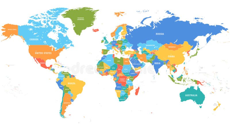
Free with trial Colored world map. Political maps, colourful world countries and country names. Geography politics map, world land atlas or planet cartography vector illustration. Countries vectors Colored world map. Political map. S, colourful world countries and country names. Geography politics map, world land atlas or planet cartography vector
Free with trial Regional world map. All countries, vector regional world map, done in illustrator. idea for developing regional experience. Countries vectors Regional world map. All countries, vector regional world map, done in illustrator. idea for developing regional experience
Free with trial Europe vector map. European Union vector map - blue Europe map isolated on white background - all countries are separated by stroke boundaries. Countries vectors Europe vector map. European Union vector map - blue Europe map isolated on white background - all countries are separated by stroke boundaries
Free with trial An illustrated view of the outline and borders of the countries of Europe. Countries vectors Map of Europe. An illustrated view of the outline and borders of the countries of Europe. An illustrated view of the outline and borders of the countries of Europe.
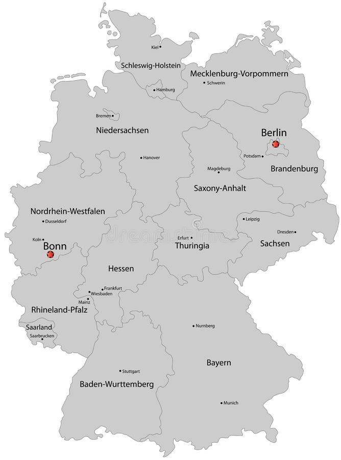
Free with trial Germany map designed in illustration with the regions colored in grey colors and with the main cities. Neighbouring countries are in an additional format (. AI) in the latent layer. Countries vectors Map of Germany. Germany map designed in illustration with the regions colored in grey colors and with the main cities. Neighbouring countries are in an. Germany map designed in illustration with the regions colored in grey colors and with the main cities. Neighbouring countries are in an additional format (. AI) in the latent layer.
Free with trial Vector Globe and World Map. With difference countries. Countries vectors Vector Globe and World Map. With difference countries
Free with trial Bulgaria map designed in illustration with provinces colored in green colors and with the main cities. Neighbouring countries are in an additional format (. AI) in the latent layer. Countries vectors Map of Bulgaria. Bulgaria map designed in illustration with provinces colored in green colors and with the main cities. Neighbouring countries are in an. Bulgaria map designed in illustration with provinces colored in green colors and with the main cities. Neighbouring countries are in an additional format (.AI) in the latent layer.
Free with trial World countries and capitals (map with precision). Countries vectors World countries and capitals. World countries and capitals (map with precision. World countries and capitals (map with precision)
Free with trial Great Detail Illustration of the world map in vintage style with all countries boundaries and names on a old parchment background. Countries vectors Vintage Illustrated World Map. Great Detail Illustration of the world map in vintage style with all countries boundaries and names on a old parchment background. Great Detail Illustration of the world map in vintage style with all countries boundaries and names on a old parchment background.
Free with trial World travel or communications map. A world map network background with flight paths or trade routes or communication between countries and cities. Countries vectors World travel or communications map. A world map network background with flight paths or trade routes or communication between countries and cities
Free with trial Map of the World. Vector illustration. Names of countries and cities, continents, state borders are located on separate layers. Countries vectors Map of the World. Vector illustration. Names of countries and cities, continents, state borders are located on separate layers
Free with trial Little Girl Wearing Traditional Dress , this dress may be used in traditional occasions in the following countries :Bahrain, Kuwait, Qatar, Saudi Arabia, and the United Arab Emirates. Countries vectors Arab Girl. Little Girl Wearing Traditional Dress , this dress may be used in traditional occasions in the following countries :Bahrain, Kuwait, Qatar, Saudi. Little Girl Wearing Traditional Dress , this dress may be used in traditional occasions in the following countries :Bahrain, Kuwait, Qatar, Saudi Arabia, and the United Arab Emirates
Free with trial Little Girl Wearing Traditional Dress and carrying Ramadan Lantern ,this dress may be used in traditional occasions in the following countries :Bahrain, Kuwait, Qatar, Saudi Arabia, and the United Arab Emirates. Countries vectors Happy Ramadan. Little Girl Wearing Traditional Dress and carrying Ramadan Lantern ,this dress may be used in traditional occasions in the following countries. Little Girl Wearing Traditional Dress and carrying Ramadan Lantern ,this dress may be used in traditional occasions in the following countries :Bahrain, Kuwait, Qatar, Saudi Arabia, and the United Arab Emirates
Free with trial High detail map of Central america, with a 3D Globe centered on these countries. Countries vectors High Detail Central america Green vector Map Set. High detail map of Central america, with a 3D Globe centered on these countries. High detail map of Central america, with a 3D Globe centered on these countries.
Free with trial World map, colorful countries with text Atlas illustration. EPS10 vector file organized in layers for easy editing. Countries vectors World map, colorful countries atlas EPS10 vector f. World map, colorful countries with text Atlas illustration. EPS10 vector file organized in layers for easy. World map, colorful countries with text Atlas illustration. EPS10 vector file organized in layers for easy editing.
Free with trial Vector antique world map with countries boundaries. Antique world vintage map, grunge america and europe illustration. Countries vectors Vector antique world map with countries boundaries. Antique world vintage map, grunge america and europe illustration
Free with trial Travel around the world vector design with famous landmarks and tourist destination of different countries and places in blue background. Vector illustration. Countries vectors Travel around the world vector design with famous landmarks and tourist destination. Of different countries and places in blue background. Vector illustration
Free with trial World Map Continent. An unfolded map of the world with countries with countries' color. Countries vectors World Map Continent. An unfolded map of the world with countries with countries' color
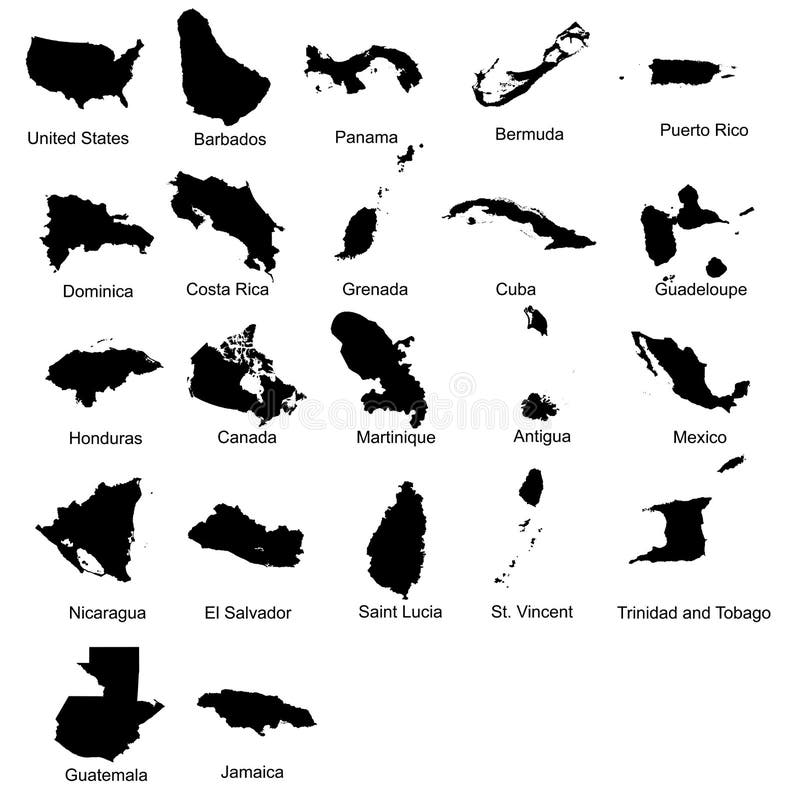
Free with trial Layered editable vector illustration silhouette country map of 22 north american countries. Countries vectors Layered editable vector illustration silhouette country map of 22 north american countries.
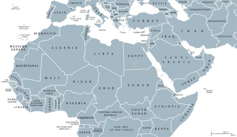
Free with trial North Africa and Middle East political map with countries and borders. English labeling. Maghreb, Mediterranean, West and Central Asian countries. Gray illustration on white background. Vector. Countries vectors North Africa and Middle East political map. With countries and borders. English labeling. Maghreb, Mediterranean, West and Central Asian countries. Gray. North Africa and Middle East political map with countries and borders. English labeling. Maghreb, Mediterranean, West and Central Asian countries. Gray illustration on white background. Vector.
Free with trial A map of Europe with the boundaries of individual countries indicated by varying colors. Countries vectors Map of Europe. A map of Europe with the boundaries of individual countries indicated by varying colors. A map of Europe with the boundaries of individual countries indicated by varying colors.
Free with trial Passport visa stamp seamless pattern. Travel background with visa stamp of different countries of Europe and Asia. Vector. Countries vectors Passport visa stamp seamless pattern. Travel background with visa stamp of different countries of Europe and Asia. Vector
Free with trial Editable world map with all Countries. Vector illustration EPS8. Countries vectors Editable world map with all Countries. Vector illustration EPS8
Free with trial Travel, journey concept. Famous monuments of world countries. Vector illustration. Isolated on white background. Countries vectors Travel, journey concept. Famous monuments of world countries. Vector illustration. Isolated on white background
Free with trial Layered editable vector illustration silhouette country map of 44 asian countries. Countries vectors Layered editable vector illustration silhouette country map of 44 asian countries.
 Sign in