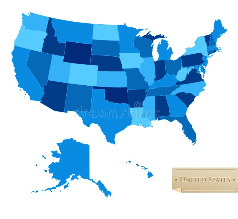
Free with trial US map - United States map with all 50 states - blue color - isolated on white - Vector. Elevation vectors US map - United States map with all 50 states. Blue color - isolated on white - Vector
Free with trial Mountains. Set of icons of silhouettes of the mountains. Elevation vectors Mountains. Set of icons of silhouettes of the mountains
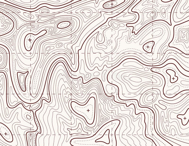
Free with trial Terrain map. Contours trails, image grid geographic relief topographic contour line maps cartography texture, vector geo charts mapping mountain topo sea navigation illustration. Elevation vectors Terrain map. Contours trails, image grid geographic relief topographic contour line maps cartography texture, vector. Geo charts mapping mountain topo sea. Terrain map. Contours trails, image grid geographic relief topographic contour line maps cartography texture, vector geo charts mapping mountain topo sea navigation illustration
Free with trial World physical map. Robinson projection, centered on Africa, colored according to elevation, with contour lines, rivers and ocean depths. Isolated on white with clipping path. Fully editable vector version with 22 layers available. Elevation vectors Globe centered on Africa. World physical map. Robinson projection, centered on Africa, colored according to elevation, with contour lines, rivers and ocean. World physical map. Robinson projection, centered on Africa, colored according to elevation, with contour lines, rivers and ocean depths. Isolated on white with clipping path. Fully editable vector version with 22 layers available.
Free with trial Atmospheric pressure example with lower and higher altitude outline diagram. Global kilopascals variation depending from elevation vector illustration. Basic educational physics explanation scheme. Elevation vectors Atmospheric pressure example with lower and higher altitude outline diagram. Global kilopascals variation depending from elevation vector illustration. Basic
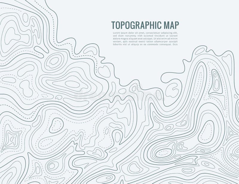
Free with trial Topographic map contour background. Topo map with elevation. Contour map vector. Geographic World Topography map grid abstract vector illustration. Elevation vectors Topographic map contour background. Topo map with elevation. Contour map vector. Geographic World Topography map grid abstract vector illustration
Free with trial Geodesy contouring land. Topographical line map. Geographic mountain contours vector background. Topography and cartography mountain landscape contour illustration. Elevation vectors Geodesy contouring land. Topographical line map. Geographic mountain contours vector background. Topography and cartography mountain landscape contour
Free with trial Topographic contour lines vector map seamless pattern. Map of terrain geographic, illustration of topography linear map area. Elevation vectors Topographic contour lines vector map seamless pattern. Map of terrain geographic, illustration of topography linear map area
Free with trial A cartoon goat on a mountain. Elevation vectors Mountain Goat. A cartoon goat on a mountain. A cartoon goat on a mountain.
Free with trial Topographic map. Trail mapping grid, contour terrain relief line texture. Cartography vector concept. Elevation vectors Topographic map. Trail mapping grid, contour terrain relief line texture. Cartography concept. Topographic map. Trail mapping grid, contour terrain relief line. Topographic map. Trail mapping grid, contour terrain relief line texture. Cartography vector concept
Free with trial Relief Of Europe isolated on white background. Elevation vectors Relief Of Europe. Isolated on white background
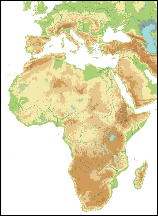
Free with trial Relief Of Africa isolated on white background. Elevation vectors Relief Of Africa. Relief Of Africa isolated on white background. Relief Of Africa isolated on white background.
Free with trial Vector illustration of mountains black icons set on white background. Elevation vectors Mountains Icons Set. Vector illustration of mountains black icons set on white background. Vector illustration of mountains black icons set on white background.
Free with trial Mountain Blue. Rugged mountain silhouette with blue background. Elevation vectors Mountain Blue. Rugged mountain silhouette with blue background
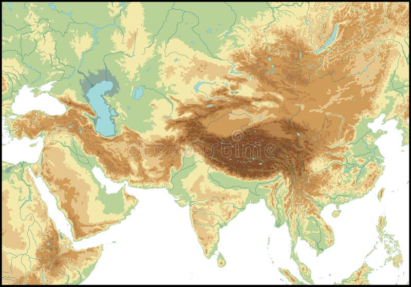
Free with trial Relief Of Central Asia isolated on white background. Elevation vectors Relief Of Central Asia. Relief Of Central Asia isolated on white background. Relief Of Central Asia isolated on white background.
Free with trial Hands drawing house plan. Illustration on house improvement and renovation. Elevation vectors Hands drawing house plan. Illustration on house improvement and renovation
Free with trial Vector black mountains icons set. This is file of EPS10 format. Elevation vectors Vector black mountains icons set. This is file of EPS10 format
Free with trial Fuming volcano among green forest. Fuming volcano among green mountain with forest illustration. Elevation vectors Fuming volcano among green forest. Fuming volcano among green mountain with forest illustration
Free with trial Black and white map pattern with abstract topographical contour line. Topography map art drawing. Vector illustration. Elevation vectors Black and white map pattern with abstract topographical contour line. Topography map art drawing. Vector illustration
Free with trial Relief Of USA isolated on white background. Elevation vectors Relief Of USA. Relief Of USA isolated on white background. Relief Of USA isolated on white background.
Free with trial Personal growth. Spiral personal growth conceptual illustration. Elevation vectors Personal growth. Spiral personal growth conceptual illustration
Free with trial Relief Of South America isolated on white background. Elevation vectors Relief Of South America. Relief Of South America isolated on white background. Relief Of South America isolated on white background.
Free with trial A seamless rendition of a topographic map, with contour lines, of a mountainous area with lakes and forest, now try not to get lost. Elevation vectors Seamless Topographic Map. A seamless rendition of a topographic map, with contour lines, of a mountainous area with lakes and forest, now try not to get lost. A seamless rendition of a topographic map, with contour lines, of a mountainous area with lakes and forest, now try not to get lost.
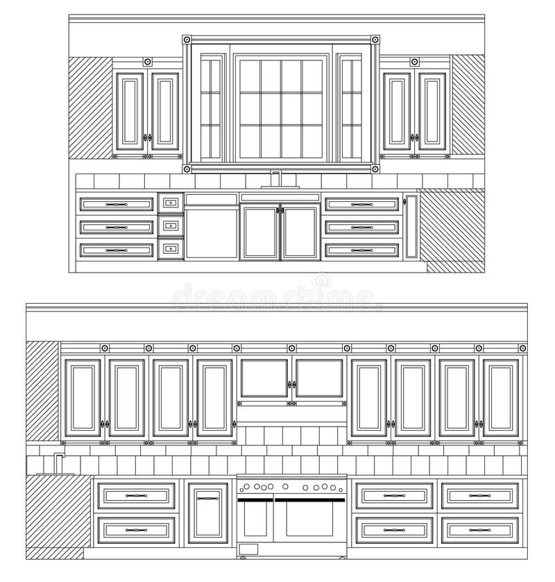
Free with trial Vector Home Kitchen drawing. Home Kitchen Elevations with cabinetry and fixtures in vector lines. Elevation vectors Vector Home Kitchen drawing. Home Kitchen Elevations with cabinetry and fixtures in vector lines
Free with trial Warehouse icons flat. Set of storage cart verification isolated vector illustration. Elevation vectors Warehouse icons flat. Set of storage cart verification isolated vector illustration
Free with trial Meter wall with palm tree and funny animals. Meterwall (stadiometer) with big high palm tree with monkey, panda, giraffe and zebra. Children vector illustration. Elevation vectors Meter wall with palm tree and funny animals. Meterwall (stadiometer) with big high palm tree with monkey, panda, giraffe and zebra. Children vector illustration
Free with trial High detailed Australia physical map with labeling. clearly labeled, separated layers, vector illustration. Elevation vectors High detailed Australia physical map with labeling. Clearly labeled, separated layers, vector illustration
Free with trial Topography landscape. Marine abstract modern blue texture. Dark relief vector trendy background for flyer and poster outline design gradient banner. Elevation vectors Topography landscape. Marine abstract modern texture. Dark relief vector trendy background for flyer and banner. Topography landscape. Marine abstract modern. Topography landscape. Marine abstract modern blue texture. Dark relief vector trendy background for flyer and poster outline design gradient banner
Free with trial Vector color map of Alaska state. Usa. Elevation vectors Alaska. Vector color map of Alaska state. Usa. Vector color map of Alaska state. Usa.
Free with trial High detailed Africa physical map with labeling, separated layers. Vector illustration. Elevation vectors High detailed Africa physical map with labeling. High detailed Africa physical map with labeling, separated layers. Vector illustration. High detailed Africa physical map with labeling, separated layers. Vector illustration.
Free with trial Eps10. Map of the topography line. Vector abstract topographic map concepts with perspective for your copy. mountain tourism. Elevation vectors Map of the topography line. Vector abstract topographic map concepts with perspective for your copy. mountain tourism. Eps10. Map of the topography line. Vector. Eps10. Map of the topography line. Vector abstract topographic map concepts with perspective for your copy. mountain tourism
Free with trial Contour line map. Elevation contouring outline cartography texture. Topographical relief map vector background. Elevation vectors Contour line map. Elevation contouring outline cartography texture. Topographical relief map background. Contour line map. Elevation contouring outline. Contour line map. Elevation contouring outline cartography texture. Topographical relief map vector background
Free with trial Set of isolated isometric house building, detailed urban and rural house design in top, side, front, and back elevation view and isometric view from all four angle, vector illustration organized for easy editable design. Elevation vectors Set of isolated house building kit creation, detailed urban and rural house concept design in top, side, front, and back elevation. Set of isolated isometric. Set of isolated isometric house building, detailed urban and rural house design in top, side, front, and back elevation view and isometric view from all four angle, vector illustration organized for easy editable design.
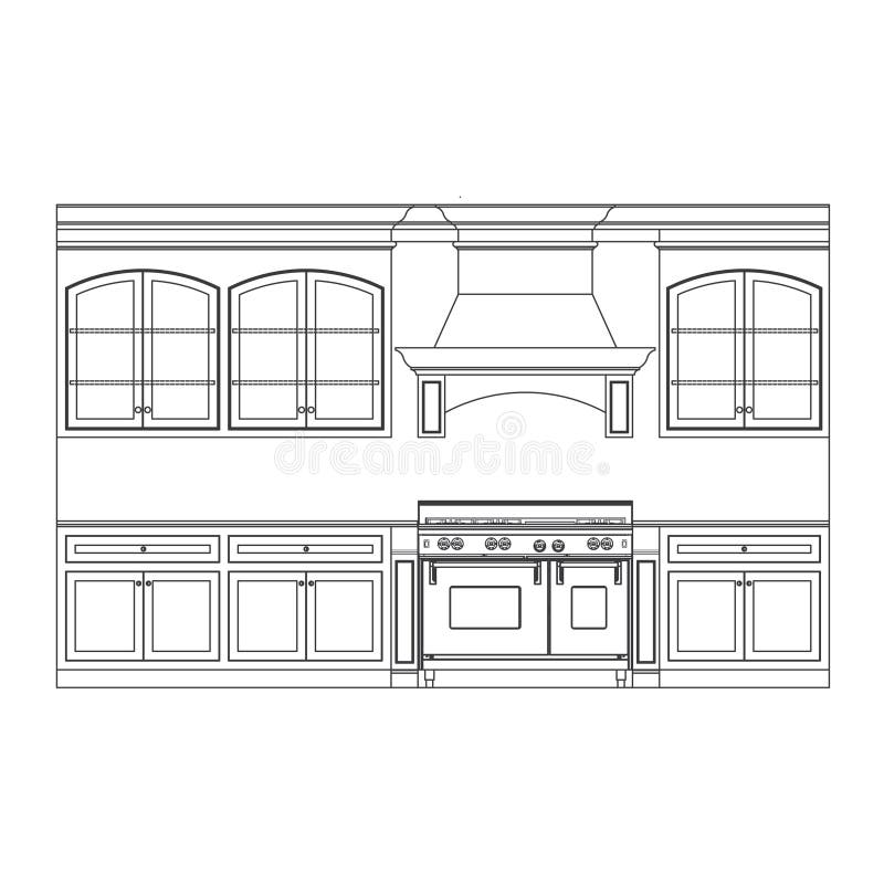
Free with trial Kitchen cabinets. Kitchen cabinet elevation line drawings. Elevation vectors Kitchen cabinets. Kitchen cabinet elevation line drawings
Free with trial Indian Ocean topographic map contour background. Contour map vector. Geographic World Topography map, abstract grid, vector illustration, outline art. Distorted line. NB: To simplify the path click on AI menu Object > Path > Simplify (Curve ≤ 100%, Angle < 50°). Elevation vectors Topographic map contour background. Topography map elevation. Contour map vector. Geographic World Topography map grid. Indian Ocean topographic map contour. Indian Ocean topographic map contour background. Contour map vector. Geographic World Topography map, abstract grid, vector illustration, outline art. Distorted line. NB: To simplify the path click on AI menu Object > Path > Simplify (Curve ≤ 100%, Angle < 50°).
Free with trial Topographic map contour background. Topo map with elevation. Contour map vector. Geographic World Topography map grid abstract vector illustration. Elevation vectors Topographic map contour background. Topo map with elevation. Contour map vector. Geographic World Topography map grid abstract vector illustration
Free with trial Topographic map contour background. Topo map with elevation. Contour map vector. Geographic World Topography map grid abstract vector illustration. Elevation vectors Topographic map contour background. Topo map with elevation. Contour map vector. Geographic World Topography map grid abstract vector illustration
Free with trial Grey contours vector topography. Geographic mountain topography vector illustration. Topographic pattern texture. Map on land vector terrain. Elevation graphic contour height lines. Topographic map height abstract polygonal land. Mountain topographic contour in lines and contours. Elevation vectors Grey contours vector topography. Geographic mountain topography vector illustration. Topographic pattern texture. Map on. Land vector terrain. Elevation graphic. Grey contours vector topography. Geographic mountain topography vector illustration. Topographic pattern texture. Map on land vector terrain. Elevation graphic contour height lines. Topographic map height abstract polygonal land. Mountain topographic contour in lines and contours.
Free with trial Topographic map contour background. Topo map with elevation. Contour map vector. Geographic World Topography map grid abstract vector illustration. Elevation vectors Topographic map contour background. Topo map with elevation. Contour map vector. Geographic World Topography map grid. Abstract vector illustration
Free with trial Topographic map contour background. Topo map with elevation. Contour map vector. Geographic World Topography map grid abstract vector illustration. Elevation vectors Topographic map contour background. Topo map with elevation. Contour map vector. Geographic World Topography map grid. Abstract vector illustration
Free with trial Vector 3d echo audio wavefrom spectrum. Music waves oscillation graph futuristic visualization. Black and white line impulse pattern. Or Abstract relief map. Landscape elevation concept. Elevation vectors Vector 3d echo audio wavefrom spectrum. Music waves oscillation graph futuristic visualization. Black and white line. Impulse pattern. Or Abstract relief map. Vector 3d echo audio wavefrom spectrum. Music waves oscillation graph futuristic visualization. Black and white line impulse pattern. Or Abstract relief map. Landscape elevation concept
Free with trial Set of different mountain icons in black. Elevation vectors Mountain Icons. Set of different mountain icons in black. Set of different mountain icons in black.
Free with trial Mountains logo. Illustration art of a mountains logo with isolated background. Elevation vectors Mountains logo. Illustration art of a mountains logo with isolated background
Free with trial Road Physical Map of USA with roads, railroads, water objects, cities and capitals. Elevation vectors Road Physical Map of USA. With roads, railroads, water objects, cities and capitals
Free with trial Sprained ankle treatment. A vector illustration of a pamphlet design for sprained ankle treatment. Elevation vectors Sprained ankle treatment. A vector illustration of a pamphlet design for sprained ankle treatment
Free with trial Snow covered mountain alpine scene with blue sky and pine tree horizon, copy space. EPS8 compatible. Elevation vectors Mountain Alpine Landscape. Snow covered mountain alpine scene with blue sky and pine tree horizon, copy space. EPS8 compatible. Snow covered mountain alpine scene with blue sky and pine tree horizon, copy space. EPS8 compatible.
Free with trial North America Physical Map. Vector illustration. Elevation vectors North America Physical Map. Vector illustration
Free with trial Italy Physical Map– highly detailed vector illustration. Image contains layers with shaded contours, land names, city names, water objects and it`s names, highways. Elevation vectors Italy Physical Map. – highly detailed vector illustration. Image contains layers with shaded contours, land names, city names, water objects and it`s names
Free with trial Image illustrating a lively, multi colored facade composed of different types of buildings, apartment buildings, cafe, and a fashion store, The pavement/sidewalk and the street also appear in the image. Images could be used separately or as a background with other icons placed in the foreground, for example pedestrians, newspapers and magazines stand…etc. EPS also available. Elevation vectors Facade. Image illustrating a lively, multi colored facade composed of different types of buildings, apartment buildings, cafe, and a fashion store, The pavement/. Image illustrating a lively, multi colored facade composed of different types of buildings, apartment buildings, cafe, and a fashion store, The pavement/sidewalk and the street also appear in the image. Images could be used separately or as a background with other icons placed in the foreground, for example pedestrians, newspapers and magazines stand…etc. EPS also available.
Free with trial Realistic Topographic map of an area west of Austin, Texas. Vector map is layered with isolines, rivers, bodies of water and background on different layers. Elevation vectors Colored Topographic map. Realistic Topographic map of an area west of Austin, Texas. Vector map is layered with isolines, rivers, bodies of water and background. Realistic Topographic map of an area west of Austin, Texas. Vector map is layered with isolines, rivers, bodies of water and background on different layers.
Free with trial Vector of mid century modern style house. Mid century modern style house. retro vector illustration. Elevation vectors Vector of mid century modern style house. Mid century modern style house. retro vector illustration
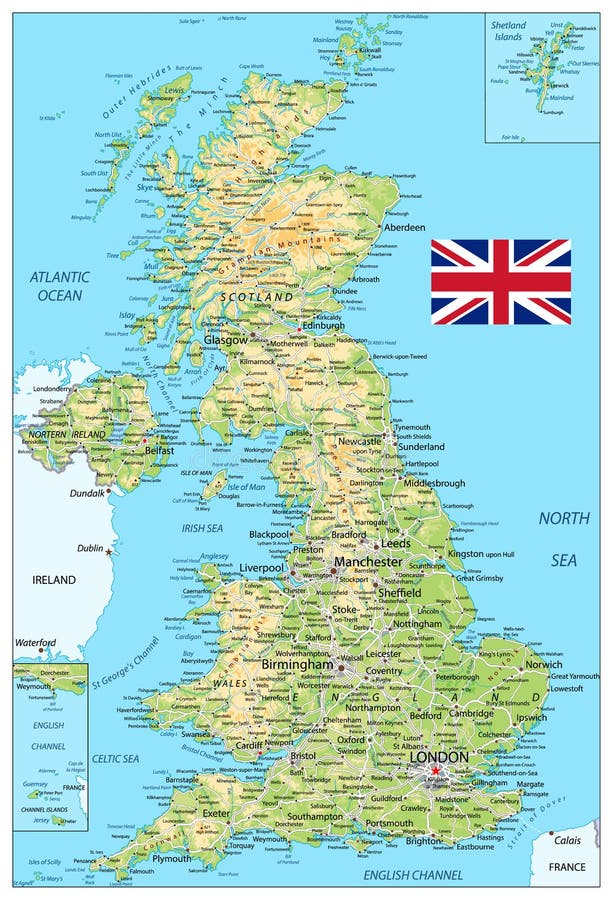
Free with trial United Kingdom physical map. Vector illustration. Elevation vectors United Kingdom physical map. Vector illustration
Free with trial Meter wall or height meter of Construction crane drived by funny man worker lifts the cargo. Another worker looks up and waves Children vector illustration with a scale to measure growth. Height chart. Elevation vectors Construction crane meter wall or height chart. Meter wall or height meter of Construction crane drived by funny man worker lifts the cargo. Another worker looks. Meter wall or height meter of Construction crane drived by funny man worker lifts the cargo. Another worker looks up and waves Children vector illustration with a scale to measure growth. Height chart
Free with trial A group of practitioners of different religions make a circle and pray joining their hands. Elevation vectors Spiritual Circle. A group of practitioners of different religions make a circle and pray joining their hands. A group of practitioners of different religions make a circle and pray joining their hands.
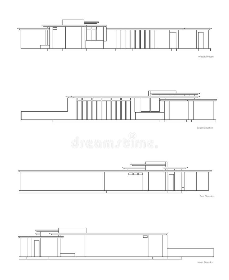
Free with trial Modern House Elevations set. Four elevations of jacobs house that is designed by the famous architect Frank Lloyd Wright. Elevation vectors Modern House Elevations set. Four elevations of jacobs house that is designed by the famous architect Frank Lloyd Wright
Free with trial Norway Physical Map – highly detailed vector illustration. Image contains layers with shaded contours, land names, city names, water objects and it`s names, highways. Elevation vectors Norway Physical Map. – highly detailed vector illustration. Image contains layers with shaded contours, land names, city names, water objects and it`s names
Free with trial Mountains wave logo. Concept for a business dedicated to travel, retreat, vacations, camping and recreation. Elevation vectors Mountains wave logo. Concept for a business dedicated to travel, retreat, vacations, camping and recreation
Free with trial Construction worker. Contruction worker on scaffold black and white silhouette. Elevation vectors Construction worker. Contruction worker on scaffold black and white silhouette
Free with trial Futuristic cityscape. Abstract illustration of a futuristic cityscape or skyline. Elevation vectors Futuristic cityscape. Abstract illustration of a futuristic cityscape or skyline
Free with trial Relief Of North Asia isolated on white background. Elevation vectors Relief Of North Asia. Relief Of North Asia isolated on white background. Relief Of North Asia isolated on white background.
Free with trial Relief Of Western Asia isolated on white background. Elevation vectors Relief Of Western Asia. Relief Of Western Asia isolated on white background. Relief Of Western Asia isolated on white background.
Free with trial USA detailed physical map with roads, railroads, water objects, cities and capitals. Elevation vectors USA detailed physical map. With roads, railroads, water objects, cities and capitals
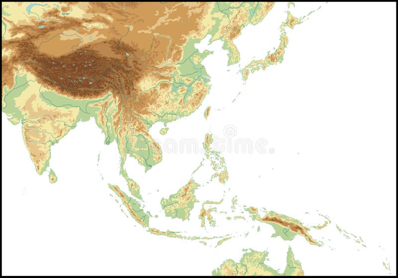
Free with trial Relief Of South East Asia. Relief Of South East Asia Relief Of South East Asia. Elevation vectors Relief Of South East Asia. Relief Of South East Asia Relief Of South East Asia
Free with trial Relief Of Central America isolated on white background. Elevation vectors Relief Of Central America. Relief Of Central America isolated on white background. Relief Of Central America isolated on white background.
Free with trial A man holds a woman on a hand (with vector). Elevation vectors Track and field athletics. A man holds a woman on a hand (with vector. A man holds a woman on a hand (with vector)
Free with trial Personal growth illustration. Spiral personal growth conceptual illustration. Elevation vectors Personal growth illustration. Spiral personal growth conceptual illustration
Free with trial Typical floorplan of s house. Upstairs and dwonstairs aerial view of the interior of a typical home. Elevation vectors Typical floorplan of s house. Upstairs and dwonstairs aerial view of the interior of a typical home
Free with trial Personal growth illustration. Personal / business growth conceptual illustration. Elevation vectors Personal growth illustration. Personal / business growth conceptual illustration
Free with trial Personal growth illustration. Spiral personal growth conceptual illustration. Elevation vectors Personal growth illustration. Spiral personal growth conceptual illustration
Free with trial Retro Color Physical map of USA with water objects, cities and capitals. Elevation vectors Retro Color Physical map of USA. With water objects, cities and capitals
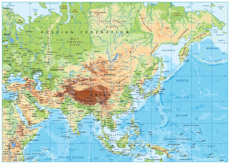
Free with trial Asia Physical Map with Rivers, Lakes and Elevations. Retro Colors. Elevation vectors Asia Physical Map with Rivers, Lakes and Elevations. Retro Colors
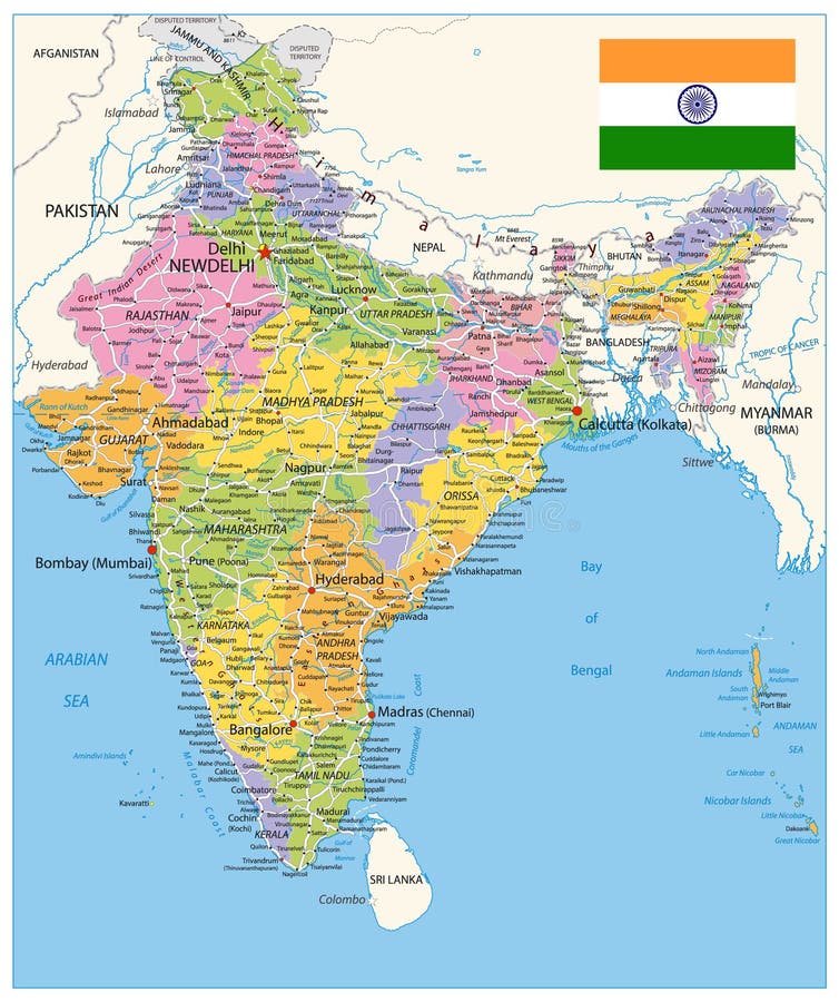
Free with trial India Political Map. Vector illustration. Elevation vectors India Political Map. Vector illustration
Free with trial Giraffe meter wall. Cheerful children's giraffe meter wall from 50 to 120 centimeter. Elevation vectors Giraffe meter wall. Cheerful children's giraffe meter wall from 50 to 120 centimeter
Free with trial Asia physical map with rivers, lakes and elevations. Elevation vectors Asia physical map. With rivers, lakes and elevations
Free with trial Vector abstract topography map banner. Topographic contour background. Topo grid. Linear illustration. Elevation vectors Vector abstract topography map banner. Topographic contour background. Topo grid. Linear illustration
Free with trial Italy Detailed Physical Map - No text - Image contains layers with shaded contours, water objects - Highly detailed vector illustration. Elevation vectors Italy Detailed Physical Map - No text. Image contains layers with shaded contours, water objects - Highly detailed vector illustration
Free with trial Relief Of Bering Detroit isolated on white background. Elevation vectors Relief Of Bering Detroit. Relief Of Bering Detroit isolated on white background. Relief Of Bering Detroit isolated on white background.
Free with trial Full size travel postcard, front & back, 8. 5 inch by 5. 5 inch, snow covered mountain landscape, hills, pine trees. Copy space for custom greetings & address. EPS8 in groups for easy editing. Elevation vectors Postcard, Mountain Landscape. Full size travel postcard, front & back, 8.5 inch by 5.5 inch, snow covered mountain landscape, hills, pine trees. Copy space for. Full size travel postcard, front & back, 8.5 inch by 5.5 inch, snow covered mountain landscape, hills, pine trees. Copy space for custom greetings & address. EPS8 in groups for easy editing.
Free with trial Relief Of Canada isolated on white background. Elevation vectors Relief Of Canada. Relief Of Canada isolated on white background. Relief Of Canada isolated on white background.
Free with trial Giraffe meter wall. Cheerful funny giraffe height meter or meter wall or wall sticker from 50 to 120 centimeter. Childrens vector illustration. Elevation vectors Giraffe meter wall. Cheerful funny giraffe height meter or meter wall or wall sticker from 50 to 120 centimeter. Childrens vector illustration
 Sign in