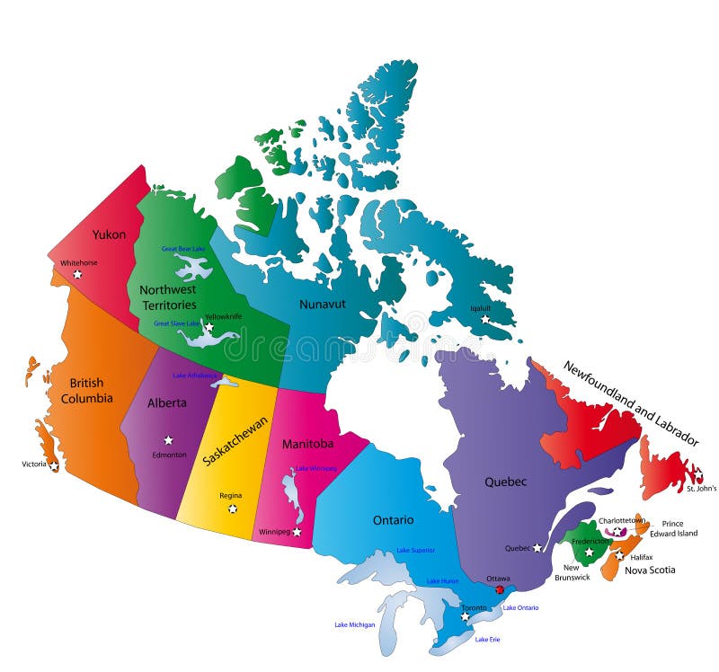
Free with trial Canada map designed in illustration with the states colored in bright colors and with the main cities. Neighbouring countries are in an additional format (. AI) in the latent layer. Latent vectors Canada map. Designed in illustration with the states colored in bright colors and with the main cities. Neighbouring countries are in an additional format (. AI
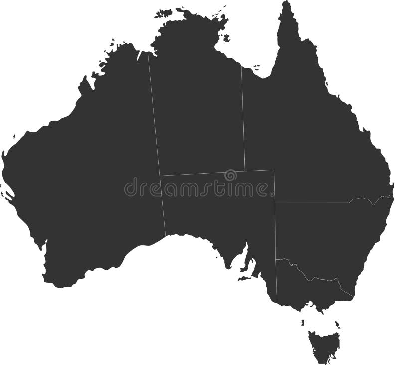
Free with trial Blind map of Australia with country borders. Names of the states and their the main cities are in an additional format (. AI) in the latent layer. Latent vectors Australia blind map. Blind map of Australia with country borders. Names of the states and their the main cities are in an additional format (. AI) in the latent. Blind map of Australia with country borders. Names of the states and their the main cities are in an additional format (. AI) in the latent layer
Free with trial Mexico map designed in illustration with states colored in green colors and with the main cities. Neighbouring countries are in an additional format (. AI) in the latent layer. Latent vectors Vector Mexico map. Mexico map designed in illustration with states colored in green colors and with the main cities. Neighbouring countries are in an additional. Mexico map designed in illustration with states colored in green colors and with the main cities. Neighbouring countries are in an additional format (. AI) in the latent layer.
Free with trial T cell infection by HIV. Latent and Active infection by HIV, eps8. Latent vectors T cell infection by HIV. Latent and Active infection by HIV, eps8
Free with trial Celiac disease Iceberg. Symptomatic, Silent and Latent celiac disease. Latent vectors Celiac iceberg. Celiac disease Iceberg. Symptomatic, Silent and Latent celiac disease. Celiac disease Iceberg. Symptomatic, Silent and Latent celiac disease.
Free with trial Tuberculosis types. Latent infection, active pulmonary with cavity formation and miliary tb. Latent vectors Tuberculosis types. Latent infection, active pulmonary with cavity formation and miliary tb
Free with trial Mexico map designed in illustration with states colored in bright colors and with the main cities. Neighbouring countries are in an additional format (. AI) in the latent layer. Latent vectors Mexico map. Designed in illustration with states colored in bright colors and with the main cities. Neighbouring countries are in an additional format (.AI) in
Free with trial Blind map of Germany with regions borders. Names of the regions, main cities, and neighbouring countries are in an additional format (. AI) in the latent layer. Latent vectors Blind map of Germany. With regions borders. Names of the regions, main cities, and neighbouring countries are in an additional format (.AI) in the latent layer
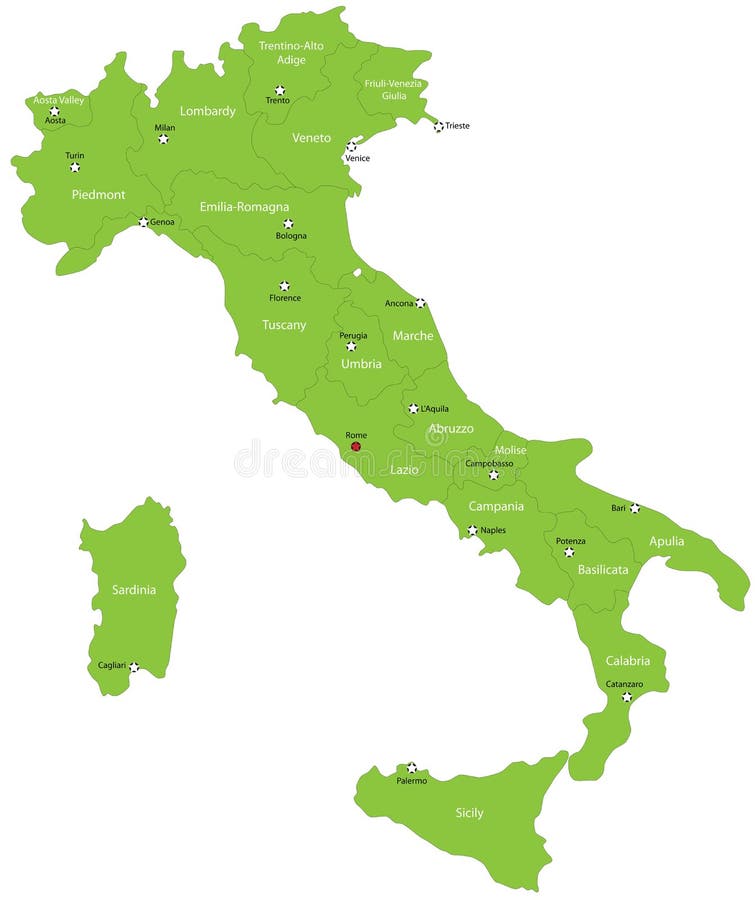
Free with trial Italy map designed in illustration with the 20 regions colored in green colors and with the main cities. Neighbouring countries are in an additional format (. AI) in the latent layer. Latent vectors Italy. Map designed in illustration with the 20 regions colored in green colors and with the main cities. Neighbouring countries are in an additional format (. Italy map designed in illustration with the 20 regions colored in green colors and with the main cities. Neighbouring countries are in an additional format (. AI) in the latent layer.
Free with trial Africa blind map. Blind map of Africa with country borders. Names of the countries and their capital are in an additional format (. AI) in the latent layer. Latent vectors Africa blind map. Blind map of Africa with country borders. Names of the countries and their capital are in an additional format (.AI) in the latent layer
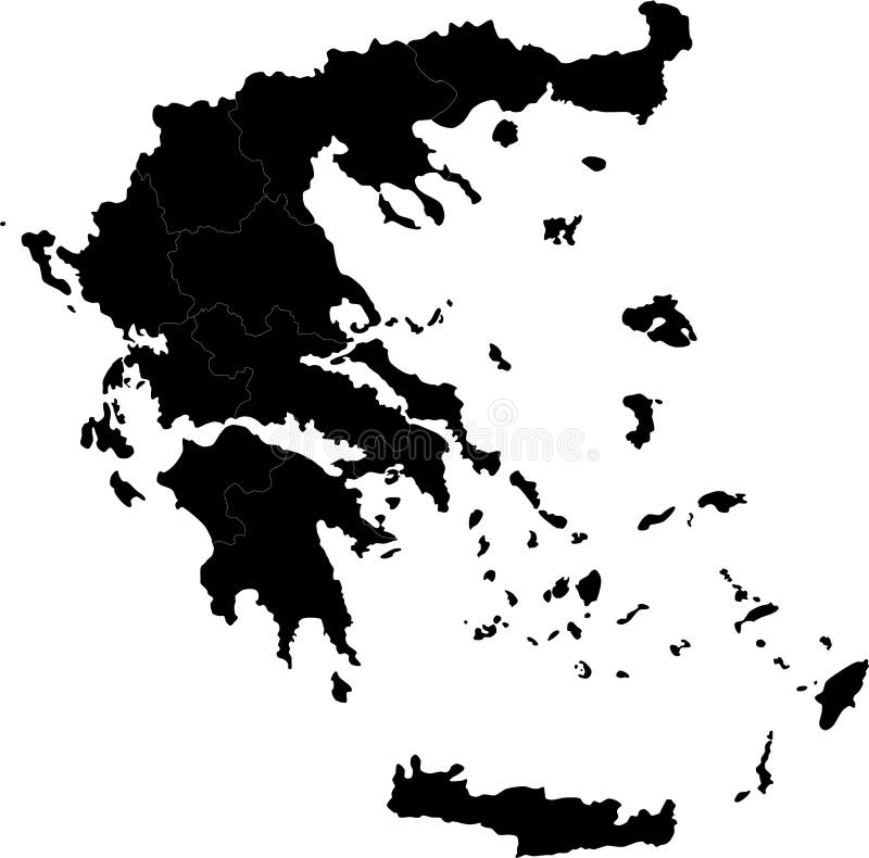
Free with trial Greece. Blind map of Greece with regions borders. Names of the regions, main cities, and neighbouring countries are in an additional format (. AI) in the latent. Latent vectors Greece. Blind map of Greece with regions borders. Names of the regions, main cities, and neighbouring countries are in an additional format (.AI) in the latent
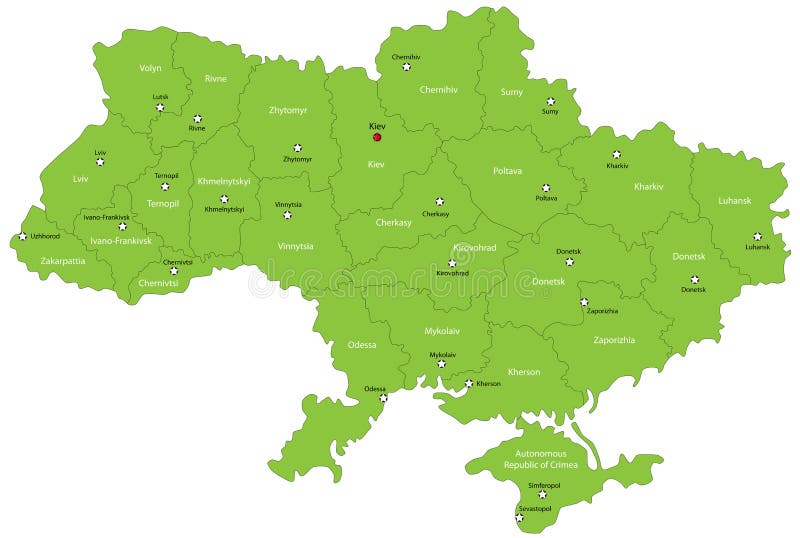
Free with trial Ukraine map designed in illustration with the oblasts colored in green colors and with the main cities. Neighbouring countries are in an additional format (. AI) in the latent layer. Latent vectors Ukraine map. Designed in illustration with the oblasts colored in green colors and with the main cities. Neighbouring countries are in an additional format (. Ukraine map designed in illustration with the oblasts colored in green colors and with the main cities. Neighbouring countries are in an additional format (. AI) in the latent layer.
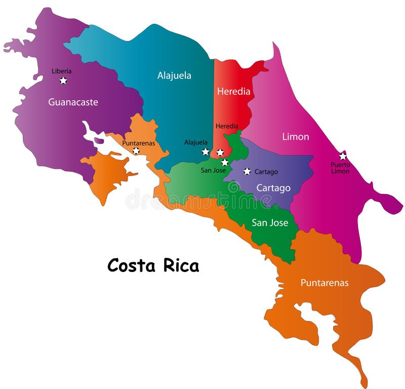
Free with trial Costa Rica map designed in illustration with 7 provinces colored in bright colors and with the main cities. Neighbouring countries are in an additional format (. AI) in the latent layer. Costa Rica map with. Latent vectors Map of Costa Rica. Costa Rica map designed in illustration with 7 provinces colored in bright colors and with the main cities. Neighbouring countries are in an. Costa Rica map designed in illustration with 7 provinces colored in bright colors and with the main cities. Neighbouring countries are in an additional format (.AI) in the latent layer. Costa Rica map with
Free with trial Poland map designed in illustration with the 16 provinces colored in green colors and with the main cities. Neighbouring countries are in an additional format (. AI) in the latent layer. Latent vectors Poland. Map designed in illustration with the 16 provinces colored in green colors and with the main cities. Neighbouring countries are in an additional format. Poland map designed in illustration with the 16 provinces colored in green colors and with the main cities. Neighbouring countries are in an additional format (.AI) in the latent layer.
Free with trial Brazilmap designed in illustration with states colored in green colors and with the main cities. Neighbouring countries are in an additional format (. AI) in the latent layer. Latent vectors Brazil. Map designed in illustration with states colored in green colors and with the main cities. Neighbouring countries are in an additional format (. AI) in
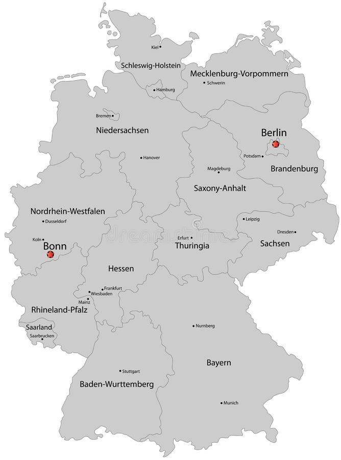
Free with trial Germany map designed in illustration with the regions colored in grey colors and with the main cities. Neighbouring countries are in an additional format (. AI) in the latent layer. Latent vectors Map of Germany. Germany map designed in illustration with the regions colored in grey colors and with the main cities. Neighbouring countries are in an. Germany map designed in illustration with the regions colored in grey colors and with the main cities. Neighbouring countries are in an additional format (. AI) in the latent layer.
Free with trial Bulgaria map designed in illustration with provinces colored in green colors and with the main cities. Neighbouring countries are in an additional format (. AI) in the latent layer. Latent vectors Map of Bulgaria. Bulgaria map designed in illustration with provinces colored in green colors and with the main cities. Neighbouring countries are in an. Bulgaria map designed in illustration with provinces colored in green colors and with the main cities. Neighbouring countries are in an additional format (.AI) in the latent layer.
Free with trial Costa Rica map designed in illustration with 7 provinces colored in green colors and with the main cities. Neighbouring countries are in an additional format (. AI) in the latent layer. Latent vectors Vector Costa Rica map. Costa Rica map designed in illustration with 7 provinces colored in green colors and with the main cities. Neighbouring countries are in. Costa Rica map designed in illustration with 7 provinces colored in green colors and with the main cities. Neighbouring countries are in an additional format (.AI) in the latent layer.
Free with trial Influenza Virus Replication Cycle. Schematic diagram. Latent vectors Influenza Virus Replication Cycle. Schematic diagram
Free with trial Virus Replication. Vector illustration. Scheme of virus replication cycle. Latent vectors Virus Replication. Vector illustration. Scheme of virus replication cycle. Vector illustration
Free with trial Pulmonary tuberculosis. Progression of pulmonary tuberculosis infection, eps8. Latent vectors Pulmonary tuberculosis. Progression of pulmonary tuberculosis infection, eps8
Free with trial Chickenpox and Shingles. Diagram of infection by herpesvirus varicella zoster, eps8, gradient and mesh printing compatible. Latent vectors Chickenpox and Shingles. Diagram of infection by herpesvirus varicella zoster, eps8, gradient and mesh printing compatible
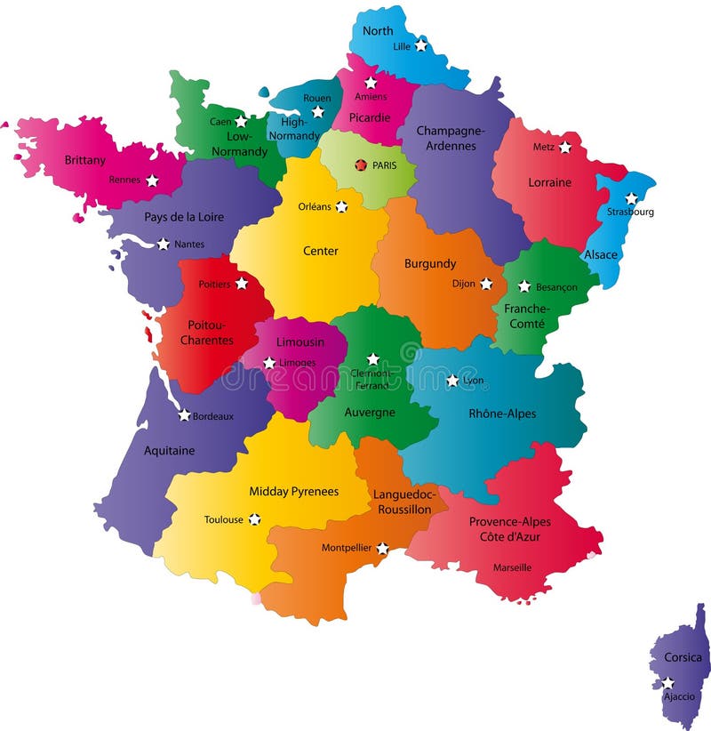
Free with trial France map designed in illustration with the regions colored in bright colors and with the main cities. Neighbouring countries are in an additional format (. AI) in the latent layer. Latent vectors Map of France. France map designed in illustration with the regions colored in bright colors and with the main cities. Neighbouring countries are in an. France map designed in illustration with the regions colored in bright colors and with the main cities. Neighbouring countries are in an additional format (. AI) in the latent layer.
Free with trial Blind map of Spain with regions borders. Names of the regions, main cities, and neighbouring countries are in an additional format (. AI) in the latent layer. Latent vectors Spain map. Blind map of Spain with regions borders. Names of the regions, main cities, and neighbouring countries are in an additional format (. AI) in the
Free with trial Blind map of Denmark with regions borders. Names of the regions, main cities, and neighbouring countries are in an additional format (. AI) in the latent layer. Latent vectors Denmark map. Blind map of Denmark with regions borders. Names of the regions, main cities, and neighbouring countries are in an additional format (.AI) in the. Blind map of Denmark with regions borders. Names of the regions, main cities, and neighbouring countries are in an additional format (.AI) in the latent layer.
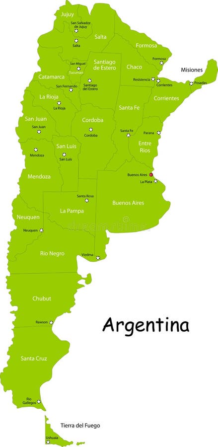
Free with trial Argentina map designed in illustration with states colored in bright colors and with the main cities. Neighbouring countries are in an additional format (. AI) in the latent layer. Latent vectors Argentina map. Designed in illustration with states colored in bright colors and with the main cities. Neighbouring countries are in an additional format (. AI
Free with trial Greece map designed in illustration with the regions colored in green colors and with the main cities. Neighbouring countries are in an additional format (. AI) in the latent layer. Latent vectors Map of Greece. Greece map designed in illustration with the regions colored in green colors and with the main cities. Neighbouring countries are in an additional. Greece map designed in illustration with the regions colored in green colors and with the main cities. Neighbouring countries are in an additional format (.AI) in the latent layer.
Free with trial Netherlands map designed in illustration with the regions colored in bright colors and with the main cities. Neighbouring countries are in an additional format (. AI) in the latent layer. Latent vectors Netherlands map. Designed in illustration with the regions colored in bright colors and with the main cities. Neighbouring countries are in an additional format. Netherlands map designed in illustration with the regions colored in bright colors and with the main cities. Neighbouring countries are in an additional format (. AI) in the latent layer.
Free with trial Belgium map designed in illustration with the regions colored in grey colors and with the main cities. Neighbouring countries are in an additional format (. AI) in the latent layer. Latent vectors Belgium map. Designed in illustration with the regions colored in grey colors and with the main cities. Neighbouring countries are in an additional format (.AI
Free with trial Canada map designed in illustration with states colored in green colors and with the main cities. Neighbouring countries are in an additional format (. AI) in the latent layer. Latent vectors Canada. Map designed in illustration with states colored in green colors and with the main cities. Neighbouring countries are in an additional format (.AI) in
Free with trial Spain map designed in illustration with the regions colored in bright colors and with the main cities. Neighbouring countries are in an additional format (. AI) in the latent layer. Latent vectors Spain map. Designed in illustration with the regions colored in bright colors and with the main cities. Neighbouring countries are in an additional format (. AI
Free with trial India map designed in illustration with regions colored in bright colors and with the main cities. Neighbouring countries are in an additional format (. AI) in the latent layer. Latent vectors India map. Designed in illustration with regions colored in bright colors and with the main cities. Neighbouring countries are in an additional format (.AI) in
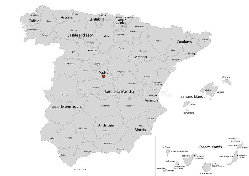
Free with trial Spain map designed in illustration with the regions colored in grey colors and with the main cities. Neighbouring countries are in an additional format (. AI) in the latent layer. Latent vectors Map of Spain. Spain map designed in illustration with the regions colored in grey colors and with the main cities. Neighbouring countries are in an additional. Spain map designed in illustration with the regions colored in grey colors and with the main cities. Neighbouring countries are in an additional format (.AI) in the latent layer.
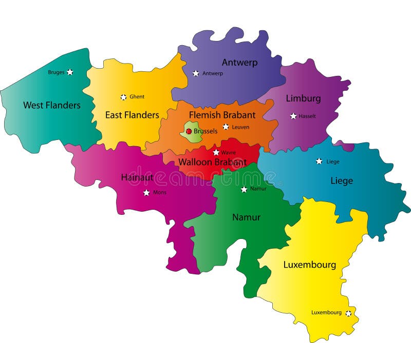
Free with trial Belgium map designed in illustration with the regions colored in bright colors and with the main cities. Neighbouring countries are in an additional format (. AI) in the latent layer. Latent vectors Map of Belgium. Belgium map designed in illustration with the regions colored in bright colors and with the main cities. Neighbouring countries are in an. Belgium map designed in illustration with the regions colored in bright colors and with the main cities. Neighbouring countries are in an additional format (. AI) in the latent layer.
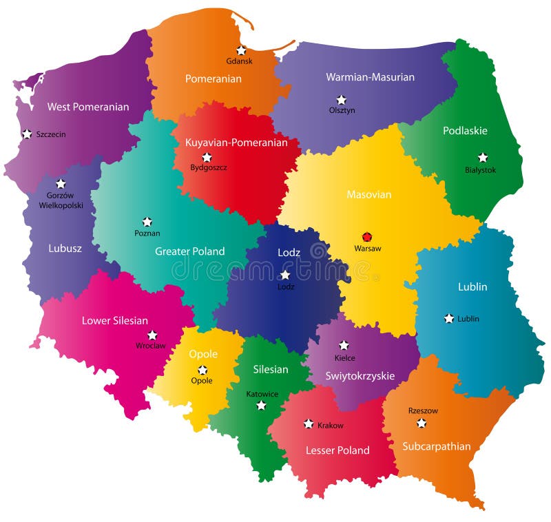
Free with trial Poland map designed in illustration with the 16 provinces colored in bright colors and with the main cities. Neighbouring countries are in an additional format (. AI) in the latent layer. Latent vectors Color Poland map. Poland map designed in illustration with the 16 provinces colored in bright colors and with the main cities. Neighbouring countries are in an. Poland map designed in illustration with the 16 provinces colored in bright colors and with the main cities. Neighbouring countries are in an additional format (.AI) in the latent layer.
Free with trial Switzerland map designed in illustration with the regions colored in bright colors and with the main cities. Neighbouring countries are in an additional format (. AI) in the latent layer. Latent vectors Switzerland map. Designed in illustration with the regions colored in bright colors and with the main cities. Neighbouring countries are in an additional format. Switzerland map designed in illustration with the regions colored in bright colors and with the main cities. Neighbouring countries are in an additional format (. AI) in the latent layer.
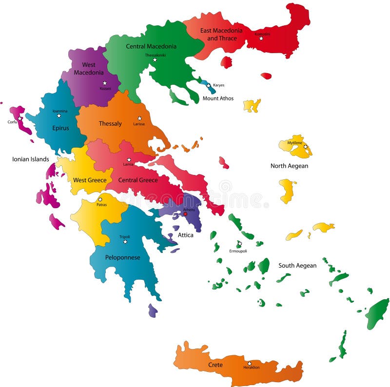
Free with trial Greece map designed in illustration with the regions colored in bright colors and with the main cities. Neighbouring countries are in an additional format (. AI) in the latent layer. Latent vectors Vector Greece map. Greece map designed in illustration with the regions colored in bright colors and with the main cities. Neighbouring countries are in an. Greece map designed in illustration with the regions colored in bright colors and with the main cities. Neighbouring countries are in an additional format (.AI) in the latent layer.
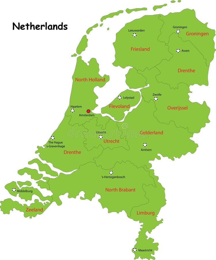
Free with trial Netherlands map designed in illustration with the regions colored in green colors and with the main cities. Neighbouring countries are in an additional format (. AI) in the latent layer. Latent vectors Vector Netherlands map. Netherlands map designed in illustration with the regions colored in green colors and with the main cities. Neighbouring countries are in. Netherlands map designed in illustration with the regions colored in green colors and with the main cities. Neighbouring countries are in an additional format (.AI) in the latent layer.
Free with trial Switzerland map designed in illustration with the regions colored in green colors and with the main cities. Neighbouring countries are in an additional format (. AI) in the latent layer. Latent vectors Switzerland map,. Switzerland map designed in illustration with the regions colored in green colors and with the main cities. Neighbouring countries are in an. Switzerland map designed in illustration with the regions colored in green colors and with the main cities. Neighbouring countries are in an additional format (. AI) in the latent layer.
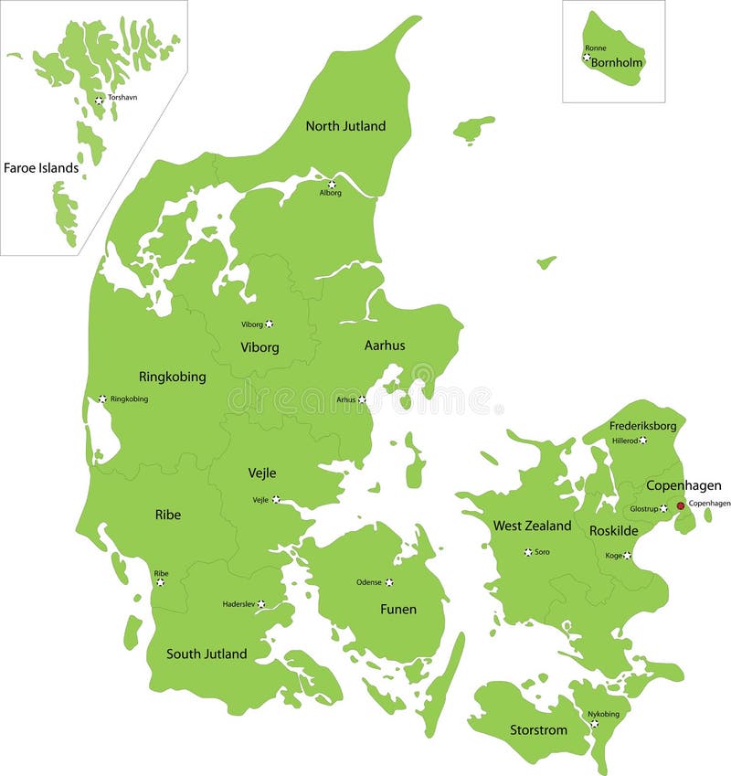
Free with trial Denmark map designed in illustration with the regions colored in green colors and with the main cities. Neighbouring countries are in an additional format (. AI) in the latent layer. Latent vectors Denmark map. Designed in illustration with the regions colored in green colors and with the main cities. Neighbouring countries are in an additional format (.AI
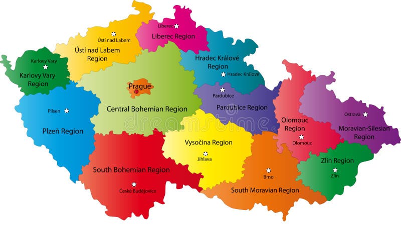
Free with trial Czech Republic map designed in illustration with the regions colored in bright colors and with the main cities. Neighbouring countries are in an additional format (. AI) in the latent layer. Latent vectors Czech Republic map. Designed in illustration with the regions colored in bright colors and with the main cities. Neighbouring countries are in an additional. Czech Republic map designed in illustration with the regions colored in bright colors and with the main cities. Neighbouring countries are in an additional format (.AI) in the latent layer.
Free with trial Blind map of Netherlands with regions borders. Names of the regions, main cities, and neighbouring countries are in an additional format (. AI) in the latent layer. Latent vectors Map of Netherlands. Blind map of Netherlands with regions borders. Names of the regions, main cities, and neighbouring countries are in an additional format (.AI. Blind map of Netherlands with regions borders. Names of the regions, main cities, and neighbouring countries are in an additional format (.AI) in the latent layer.
Free with trial Slovakia map designed in illustration with the regions colored in bright colors and with the main cities. Neighbouring countries are in an additional format (. AI) in the latent layer. Latent vectors Map of Slovakia. Slovakia map designed in illustration with the regions colored in bright colors and with the main cities. Neighbouring countries are in an. Slovakia map designed in illustration with the regions colored in bright colors and with the main cities. Neighbouring countries are in an additional format (. AI) in the latent layer.
Free with trial Latent and active HIV infection. Latent infection when a cell is infected, has the proviral DNA. The immune system cannot detect this cell as being infected. Active HIV infection if an infected cell is activated and produces new viruses. Latent vectors Latent and active HIV infection. Latent infection when a cell is infected, has the proviral DNA. The immune system cannot detect this cell as being infected
Free with trial Hungary map designed in illustration with the regions colored in green colors and with the main cities. Neighbouring countries are in an additional format (. AI) in the latent layer. Latent vectors Hungary map. Designed in illustration with the regions colored in green colors and with the main cities. Neighbouring countries are in an additional format (.AI
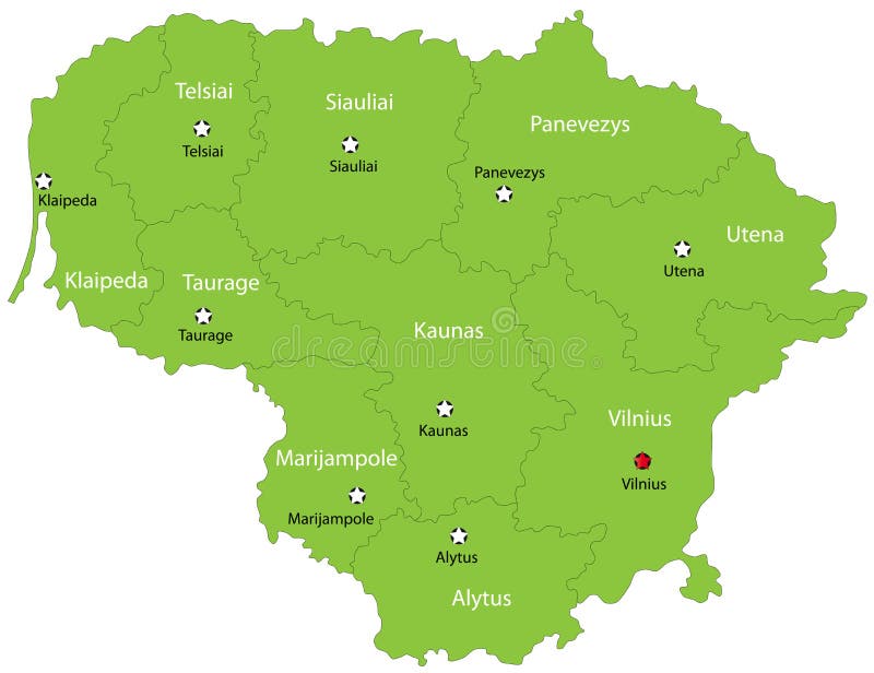
Free with trial Lithuania map designed in illustration with the 10 counties colored in green colors and with the main cities. Neighbouring countries are in an additional format (. AI) in the latent layer. Latent vectors Vector Lithuania map. Lithuania map designed in illustration with the 10 counties colored in green colors and with the main cities. Neighbouring countries are in. Lithuania map designed in illustration with the 10 counties colored in green colors and with the main cities. Neighbouring countries are in an additional format (.AI) in the latent layer.
Free with trial Iceland map designed in illustration with provinces colored in bright colors and with the main cities. Neighbouring countries are in an additional format (. AI) in the latent layer. Latent vectors Map of Iceland. Iceland map designed in illustration with provinces colored in bright colors and with the main cities. Neighbouring countries are in an. Iceland map designed in illustration with provinces colored in bright colors and with the main cities. Neighbouring countries are in an additional format (.AI) in the latent layer.
Free with trial Iceland map designed in illustration with provinces colored in green colors and with the main cities. Neighbouring countries are in an additional format (. AI) in the latent layer. Latent vectors Map of Iceland. Iceland map designed in illustration with provinces colored in green colors and with the main cities. Neighbouring countries are in an additional. Iceland map designed in illustration with provinces colored in green colors and with the main cities. Neighbouring countries are in an additional format (.AI) in the latent layer.
Free with trial Argentina map designed in illustration with states colored in green colors and with the main cities. Neighbouring countries are in an additional format (. AI) in the latent layer. Latent vectors Map of Argentina. Argentina map designed in illustration with states colored in green colors and with the main cities. Neighbouring countries are in an. Argentina map designed in illustration with states colored in green colors and with the main cities. Neighbouring countries are in an additional format (.AI) in the latent layer.
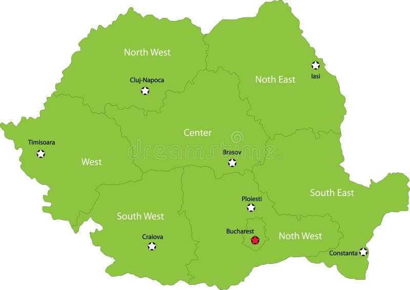
Free with trial Romania map designed in illustration with the regions colored in green colors and with the main cities. Neighbouring countries are in an additional format (. AI) in the latent layer. Latent vectors Romania map. Designed in illustration with the regions colored in green colors and with the main cities. Neighbouring countries are in an additional format (.AI
Free with trial Romania map designed in illustration with the regions colored in bright colors and with the main cities. Neighbouring countries are in an additional format (. AI) in the latent layer. Latent vectors Romania map. Designed in illustration with the regions colored in bright colors and with the main cities. Neighbouring countries are in an additional format (. Romania map designed in illustration with the regions colored in bright colors and with the main cities. Neighbouring countries are in an additional format (.AI) in the latent layer.
Free with trial Romania map designed in illustration with the regions colored in bright colors and with the main cities. Neighbouring countries are in an additional format (. AI) in the latent layer. Latent vectors Map of Romania. Romania map designed in illustration with the regions colored in bright colors and with the main cities. Neighbouring countries are in an. Romania map designed in illustration with the regions colored in bright colors and with the main cities. Neighbouring countries are in an additional format (.AI) in the latent layer.
Free with trial Austria map designed in illustration with the regions colored in bright colors and with the main cities. Neighbouring countries are in an additional format (. AI) in the latent layer. Latent vectors Vector map of Austria. Austria map designed in illustration with the regions colored in bright colors and with the main cities. Neighbouring countries are in an. Austria map designed in illustration with the regions colored in bright colors and with the main cities. Neighbouring countries are in an additional format (.AI) in the latent layer.
Free with trial Belgium map designed in illustration with the 21 counties colored in bright colors and with the main cities. Neighbouring countries are in an additional format (. AI) in the latent layer. Latent vectors Sweden. Belgium map designed in illustration with the 21 counties colored in bright colors and with the main cities. Neighbouring countries are in an additional. Belgium map designed in illustration with the 21 counties colored in bright colors and with the main cities. Neighbouring countries are in an additional format (.AI) in the latent layer.
Free with trial Austria map of Slovakia with regions borders. Names of the regions, main cities, and neighbouring countries are in an additional format (. AI) in the latent layer. Latent vectors Austria map. Of Slovakia with regions borders. Names of the regions, main cities, and neighbouring countries are in an additional format (.AI) in the latent
Free with trial Herpesvirus infection. Eps8, gradient and mesh printing compatible. Latent vectors Herpesvirus infection. Eps8, gradient and mesh printing compatible
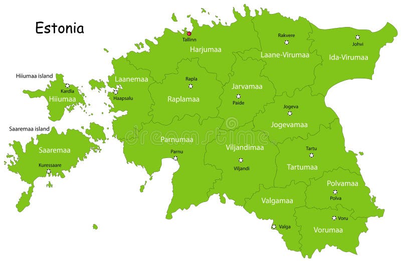
Free with trial Estonia map designed in illustration with states colored in green colors and with the main cities. Neighbouring countries are in an additional format (. AI) in the latent layer. Latent vectors Vector Estonia map. Estonia map designed in illustration with states colored in green colors and with the main cities. Neighbouring countries are in an. Estonia map designed in illustration with states colored in green colors and with the main cities. Neighbouring countries are in an additional format (.AI) in the latent layer.
Free with trial Different shapes of pathogens. viruses: hepatitis, and rotavirus, adenovirus, and papillomavirus, influenza. bacteria: staphylococci and streptococci, coli and bacilli. toxoplasma. Set icons. Latent vectors Pathogens shapes. Bacteria, germ, virus set. Different shapes of pathogens. viruses: hepatitis, and rotavirus, adenovirus, and papillomavirus, influenza. different shapes of pathogens. viruses: hepatitis, and rotavirus, adenovirus, and papillomavirus, influenza. bacteria: staphylococci and streptococci, coli and bacilli. toxoplasma. Set icons
Free with trial Czech Republic map designed in illustration with the regions colored in grey colors and with the main cities. Neighbouring countries are in an additional format (. AI) in the latent layer. Latent vectors Map of Czech Republic. Czech Republic map designed in illustration with the regions colored in grey colors and with the main cities. Neighbouring countries are. Czech Republic map designed in illustration with the regions colored in grey colors and with the main cities. Neighbouring countries are in an additional format (.AI) in the latent layer.
Free with trial France map designed in illustration with the regions colored in grey colors and with the main cities. Neighbouring countries are in an additional format (. AI) in the latent layer. Latent vectors Map of France. France map designed in illustration with the regions colored in grey colors and with the main cities. Neighbouring countries are in an additional. France map designed in illustration with the regions colored in grey colors and with the main cities. Neighbouring countries are in an additional format (.AI) in the latent layer.
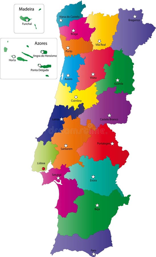
Free with trial Portugal map designed in illustration with the regions colored in bright colors and with the main cities. Neighbouring countries are in an additional format (. AI) in the latent layer. Latent vectors Map of Portugal. Portugal map designed in illustration with the regions colored in bright colors and with the main cities. Neighbouring countries are in an. Portugal map designed in illustration with the regions colored in bright colors and with the main cities. Neighbouring countries are in an additional format (.AI) in the latent layer.
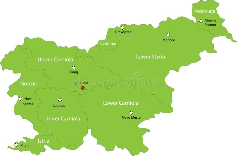
Free with trial Slovenia map designed in illustration with the regions colored in green colors and with the main cities. Neighbouring countries are in an additional format (. AI) in the latent layer. Latent vectors Map of Slovenia. Slovenia map designed in illustration with the regions colored in green colors and with the main cities. Neighbouring countries are in an. Slovenia map designed in illustration with the regions colored in green colors and with the main cities. Neighbouring countries are in an additional format (.AI) in the latent layer.
Free with trial Portugal map designed in illustration with the regions colored in bright colors and with the main cities. Neighbouring countries are in an additional format (. AI) in the latent layer. Latent vectors Vector map Portugal. Portugal map designed in illustration with the regions colored in bright colors and with the main cities. Neighbouring countries are in an. Portugal map designed in illustration with the regions colored in bright colors and with the main cities. Neighbouring countries are in an additional format (.AI) in the latent layer.
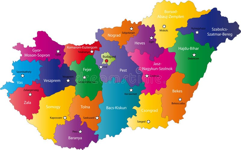
Free with trial Hungary map designed in illustration with the regions colored in bright colors and with the main cities. Neighbouring countries are in an additional format (. AI) in the latent layer. Latent vectors Map of Hungary. Hungary map designed in illustration with the regions colored in bright colors and with the main cities. Neighbouring countries are in an. Hungary map designed in illustration with the regions colored in bright colors and with the main cities. Neighbouring countries are in an additional format (. AI) in the latent layer.
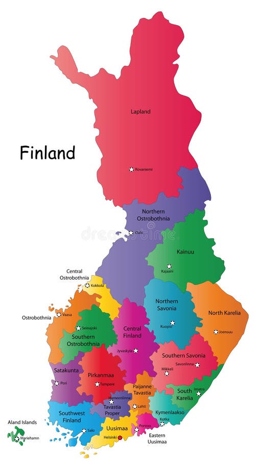
Free with trial Finland map designed in illustration with the 20 regions colored in bright colors and with the main cities. Neighbouring countries are in an additional format (. AI) in the latent layer. Latent vectors Map of Finland. Finland map designed in illustration with the 20 regions colored in bright colors and with the main cities. Neighbouring countries are in an. Finland map designed in illustration with the 20 regions colored in bright colors and with the main cities. Neighbouring countries are in an additional format (.AI) in the latent layer.
Free with trial Blind map of Slovakia with 20 regions borders. Names of the regions, main cities, and neighbouring countries are in an additional format (. AI) in the latent layer. Latent vectors Black Italy map. Blind map of Slovakia with 20 regions borders. Names of the regions, main cities, and neighbouring countries are in an additional format (.AI). Blind map of Slovakia with 20 regions borders. Names of the regions, main cities, and neighbouring countries are in an additional format (.AI) in the latent layer.
Free with trial India map designed in illustration with regions colored in green colors and with the main cities. Neighbouring countries are in an additional format (. AI) in the latent layer. Latent vectors India. Map designed in illustration with regions colored in green colors and with the main cities. Neighbouring countries are in an additional format (.AI) in
Free with trial Blind map of Portugal with regions borders. Names of the regions, main cities, and neighbouring countries are in an additional format (. AI) in the latent layer. Latent vectors Vector map of Portugal. Blind map of Portugal with regions borders. Names of the regions, main cities, and neighbouring countries are in an additional format (. Blind map of Portugal with regions borders. Names of the regions, main cities, and neighbouring countries are in an additional format (. AI) in the latent layer.
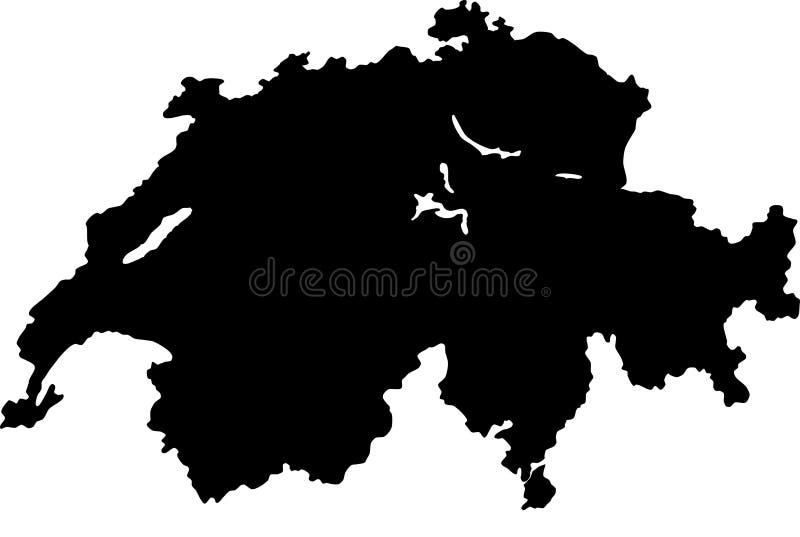
Free with trial Blind map of Switzerland with regions borders. Names of the regions, main cities, and neighbouring countries are in an additional format (. AI) in the latent layer. Latent vectors Vector map of Switzerland. Blind map of Switzerland with regions borders. Names of the regions, main cities, and neighbouring countries are in an additional. Blind map of Switzerland with regions borders. Names of the regions, main cities, and neighbouring countries are in an additional format (.AI) in the latent layer.
Free with trial Blind map of Sweden with regions borders. Names of the regions, main cities, and neighbouring countries are in an additional format (. AI) in the latent layer. Latent vectors Map of Sweden. Blind map of Sweden with regions borders. Names of the regions, main cities, and neighbouring countries are in an additional format (.AI) in the. Blind map of Sweden with regions borders. Names of the regions, main cities, and neighbouring countries are in an additional format (.AI) in the latent layer.
Free with trial Finland map designed in illustration with the 20 regions colored in green colors and with the main cities. Neighbouring countries are in an additional format (. AI) in the latent layer. Latent vectors Finland. Map designed in illustration with the 20 regions colored in green colors and with the main cities. Neighbouring countries are in an additional format. Finland map designed in illustration with the 20 regions colored in green colors and with the main cities. Neighbouring countries are in an additional format (.AI) in the latent layer.
Free with trial Portugal map designed in illustration with the regions colored in green colors and with the main cities. Neighbouring countries are in an additional format (. AI) in the latent layer. Latent vectors Portugal map. Designed in illustration with the regions colored in green colors and with the main cities. Neighbouring countries are in an additional format (. Portugal map designed in illustration with the regions colored in green colors and with the main cities. Neighbouring countries are in an additional format (.AI) in the latent layer.
Free with trial Blind map of Slovakia with regions borders. Names of the regions, main cities, and neighbouring countries are in an additional format (. AI) in the latent layer. Latent vectors Vector map of Slovakia. Blind map of Slovakia with regions borders. Names of the regions, main cities, and neighbouring countries are in an additional format (. Blind map of Slovakia with regions borders. Names of the regions, main cities, and neighbouring countries are in an additional format (.AI) in the latent layer.
Free with trial Tuberculosis vector illustration. Detailed diagnosis symptoms and treatment scheme. Diagram with latent infection, cavitary or miliary illness. Educational lung structure. Latent vectors Tuberculosis vector illustration. Detailed symptoms and treatment scheme. Tuberculosis vector illustration. Detailed diagnosis symptoms and treatment scheme. Tuberculosis vector illustration. Detailed diagnosis symptoms and treatment scheme. Diagram with latent infection, cavitary or miliary illness. Educational lung structure
Free with trial Belgium map designed in illustration with the regions colored in bright colors and with the main cities. Neighbouring countries are in an additional format (. AI) in the latent layer. Latent vectors Vector Luxembourg map. Belgium map designed in illustration with the regions colored in bright colors and with the main cities. Neighbouring countries are in an. Belgium map designed in illustration with the regions colored in bright colors and with the main cities. Neighbouring countries are in an additional format (.AI) in the latent layer.
Free with trial Poland map designed in illustration with the 26 districts colored in green colors and with the main cities. Neighbouring countries are in an additional format (. AI) in the latent layer. Latent vectors Latvia map. Poland map designed in illustration with the 26 districts colored in green colors and with the main cities. Neighbouring countries are in an. Poland map designed in illustration with the 26 districts colored in green colors and with the main cities. Neighbouring countries are in an additional format (.AI) in the latent layer.
Free with trial Hungary. Blind map of Hungary with regions borders. Names of the regions, main cities, and neighbouring countries are in an additional format (. AI) in the latent. Latent vectors Hungary. Blind map of Hungary with regions borders. Names of the regions, main cities, and neighbouring countries are in an additional format (.AI) in the latent
Free with trial Austria map designed in illustration with the regions colored in grey colors and with the main cities. Neighbouring countries are in an additional format (. AI) in the latent layer. Latent vectors Austria map. Designed in illustration with the regions colored in grey colors and with the main cities. Neighbouring countries are in an additional format (.AI
Free with trial Blind map of Romania with regions borders. Names of the regions, main cities, and neighbouring countries are in an additional format (. AI) in the latent layer. Latent vectors Vector map of Romania. Blind map of Romania with regions borders. Names of the regions, main cities, and neighbouring countries are in an additional format (.AI. Blind map of Romania with regions borders. Names of the regions, main cities, and neighbouring countries are in an additional format (.AI) in the latent layer.
Free with trial Infographic of Syphilis. Cute info graphic of Stroke. Latent vectors Infographic of Syphilis. Cute info graphic of Stroke
 Sign in