Free with trial Black compass rose isolated on whte. Additional vector format in EPS (v. 8). Longitude vectors Compass Rose. Black compass rose isolated on whte. Additional vector format in EPS (v. 8. Black compass rose isolated on whte. Additional vector format in EPS (v. 8).
Free with trial Globe grid - vector. Globe grid in white background, vector. Longitude vectors Globe grid - vector. Globe grid in white background, vector
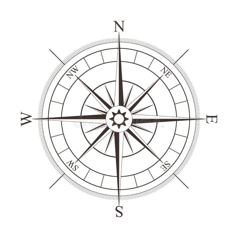
Free with trial Black compass rose isolated on whte. Additional vector format in EPS (v. 8). Longitude vectors Compass Rose. Black compass rose isolated on whte. Additional vector format in EPS (v.8. Black compass rose isolated on whte. Additional vector format in EPS (v.8).
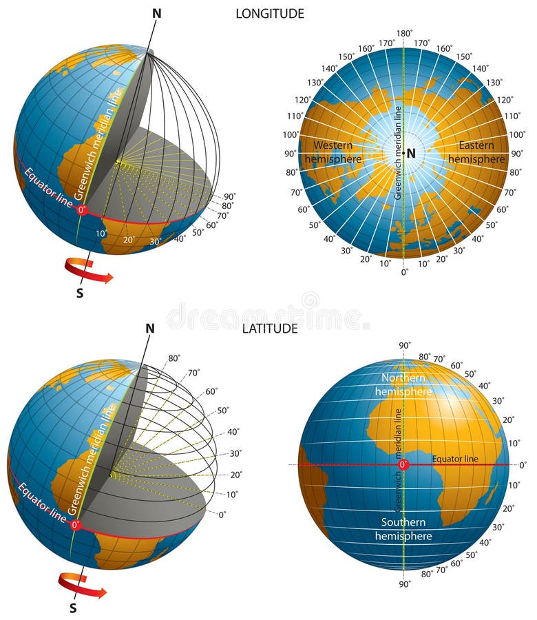
Free with trial Latitude-longitude-coordinates. Vector illustration of latitude-longitude-coordinates. Longitude vectors Latitude-longitude-coordinates. Vector illustration of latitude-longitude-coordinates
Free with trial Equator latitude and longitude vector illustration. Equator grid line explanation with northern and southern hemisphere, prime and tropic of cancer. Geographic axis position and location angle point. Longitude vectors Equator latitude or longitude vector illustration. Equator line explanation. Equator latitude and longitude vector illustration. Equator grid line explanation. Equator latitude and longitude vector illustration. Equator grid line explanation with northern and southern hemisphere, prime and tropic of cancer. Geographic axis position and location angle point.
Free with trial Latitude-longitude. Vector illustration of longitude and latitude. Longitude vectors Latitude-longitude. Vector illustration of longitude and latitude
Free with trial Latitude and longitude of earth globe. Latitude and longitude of the earth globe vector illustration. Longitude vectors Latitude and longitude of earth globe. Latitude and longitude of the earth globe vector illustration
Free with trial Blue Globe 2. A shiny blue globe with lines of longitude and latitude against white background created in Illustrator. Longitude vectors Blue Globe 2. A shiny blue globe with lines of longitude and latitude against white background created in Illustrator
Free with trial A Pole North Map with latitude and longitude. Longitude vectors North Map. A Pole North Map with latitude and longitude. A Pole North Map with latitude and longitude.
Free with trial Green earth. With longitude and latitude. Longitude vectors Green earth. With longitude and latitude
Free with trial Orange earth. With latitude and longitude. Longitude vectors Orange earth. With latitude and longitude
Free with trial Global wireframe latitude Atlantic Earth globe. Global wireframe latitude longitude grid Atlantic Earth 3D globe. Longitude vectors Global wireframe latitude Atlantic Earth globe. Global wireframe latitude longitude grid Atlantic Earth 3D globe
Free with trial A map of Earth on a globe symbol with East West latitude longitude lines on a black background. Longitude vectors Globe symbol Earth 3D map on black. A map of Earth on a globe symbol with East West latitude longitude lines on a black background. A map of Earth on a globe symbol with East West latitude longitude lines on a black background.
Free with trial Topographic Map Seamless Pattern. Vector Background. Longitude vectors Topographic Map Seamless Pattern. Vector Background
Free with trial Terrain map. Contours trails, image grid geographic relief topographic contour line maps cartography texture, vector geo charts mapping mountain topo sea navigation illustration. Longitude vectors Terrain map. Contours trails, image grid geographic relief topographic contour line maps cartography texture, vector. Geo charts mapping mountain topo sea. Terrain map. Contours trails, image grid geographic relief topographic contour line maps cartography texture, vector geo charts mapping mountain topo sea navigation illustration
Free with trial Gold world global sphere with accurate coordinate grid wire framework. PNG transparent background. Longitude vectors Golden Earth planet 3D Globe isolated. Gold world global sphere with accurate coordinate grid wire framework. PNG transparent background. Gold world global sphere with accurate coordinate grid wire framework. PNG transparent background.
Free with trial Antique map of the world illustration and vector. See additional formats for vector file. Longitude vectors Vector Illustration Antique world map. Antique map of the world illustration and vector. See additional formats for vector file. Antique map of the world illustration and vector. See additional formats for vector file.
Free with trial Compass Rose Vector Collection. Collection of compass rose design - Vector illustration. Longitude vectors Compass Rose Vector Collection. Collection of compass rose design - Vector illustration
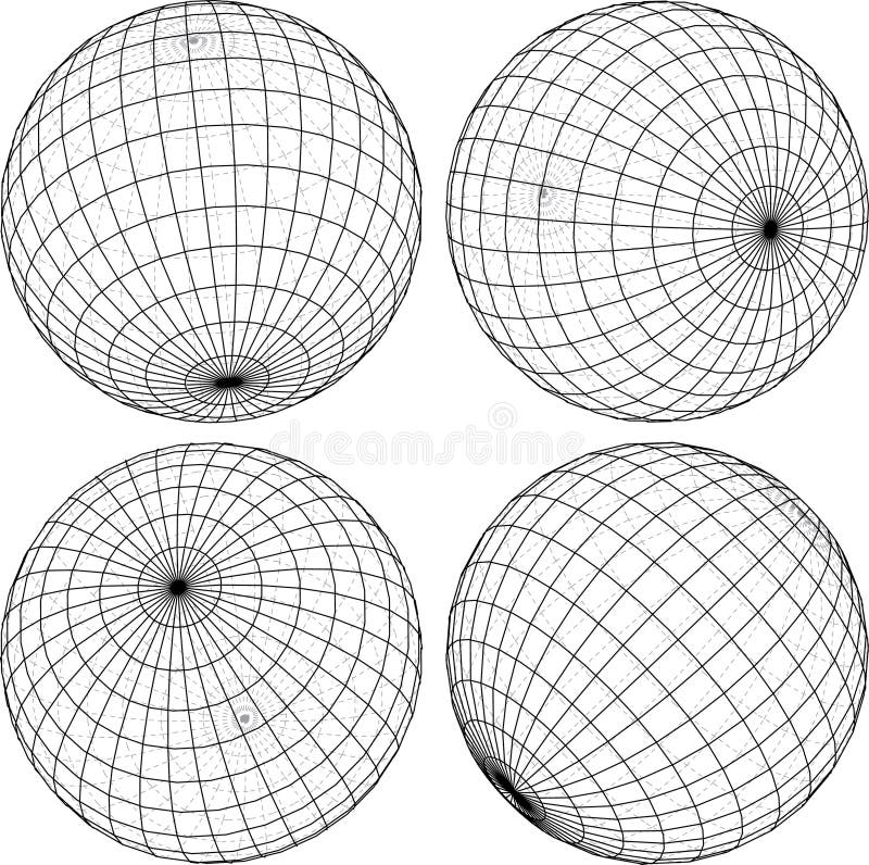
Free with trial Globe wireframe set. Set of four different sides of globe wireframe. Longitude vectors Globe wireframe set. Set of four different sides of globe wireframe
Free with trial Black compass rose isolated on white - vector illustration. Longitude vectors Black compass rose isolated on white. Vector illustration
Free with trial Globe grid reflection - vector. Globe grid reflection in white background, vector. Longitude vectors Globe grid reflection - vector. Globe grid reflection in white background, vector
Free with trial Brujula1c. Compass Rose Illustration in black and gold. Longitude vectors Brujula1c. Compass Rose Illustration in black and gold
Free with trial Black compass rose isolated on whte. Additional vector format in EPS (v. 8). Longitude vectors Compass Rose. Black compass rose isolated on whte. Additional vector format in EPS (v.8. Black compass rose isolated on whte. Additional vector format in EPS (v.8).
Free with trial Compass rose. Vector illustration of black compass rose. Longitude vectors Compass rose. Vector illustration of black compass rose
Free with trial Compass sketch. Doodle style. Vector. Longitude vectors Compass sketch. Doodle style. Vector
Free with trial Compass Rose #2. Vintage compass for design isolated on white. Longitude vectors Compass Rose #2. Vintage compass for design isolated on white
Free with trial Wireframe globe. Isolated on white background illustration. Longitude vectors Wireframe globe. Isolated on white background illustration
Free with trial Wind rose compas. Black wind rose compass isolated on white. Compass Icon Graphic. Nautical design elements. Compass Rose. Wind rose. Vector Illustration. Longitude vectors Wind rose compas. Black wind rose compass isolated on white. Compass Icon Graphic. Nautical design elements. Compass Rose. Wind rose. Vector Illustration
Free with trial Compass (vector). Compass isolated from background for design. Longitude vectors Compass (vector). Compass isolated from background for design
Free with trial Gold world global sphere with accurate coordinate grid wire framework. PNG transparent background. Longitude vectors Golden Earth planet 3D Globe isolated. Gold world global sphere with accurate coordinate grid wire framework. PNG transparent background. Gold world global sphere with accurate coordinate grid wire framework. PNG transparent background.
Free with trial Globe. Illustration of the world globe with grid. Longitude vectors Globe. Illustration of the world globe with grid
Free with trial Vector compass icons. Vector collection of black and white compass icons. Longitude vectors Vector compass icons. Vector collection of black and white compass icons
Free with trial Topographic map. Trail mapping grid, contour terrain relief line texture. Cartography vector concept. Longitude vectors Topographic map. Trail mapping grid, contour terrain relief line texture. Cartography concept. Topographic map. Trail mapping grid, contour terrain relief line. Topographic map. Trail mapping grid, contour terrain relief line texture. Cartography vector concept
Free with trial Abstract topographical map. With no names, vector. Longitude vectors Abstract topographical map. With no names, vector
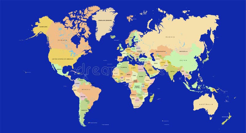
Free with trial A detailed world map with names of countries. Good for a presentation or for educational purposes. Also available in vector. Each country can be selected. Longitude vectors World map in detail - Vector. A detailed world map with names of countries. Good for a presentation or for educational purposes. Also available in vector. Each. A detailed world map with names of countries. Good for a presentation or for educational purposes. Also available in vector. Each country can be selected.
Free with trial Brown compass rose isolated on white. Additional vector format in EPS (v. 8). Longitude vectors Compass Rose. Brown compass rose isolated on white. Additional vector format in EPS (v. 8. Brown compass rose isolated on white. Additional vector format in EPS (v. 8).
Free with trial Black compass rose isolated on whte. Additional vector format in EPS (v. 8). Longitude vectors Compass Rose. Black compass rose isolated on whte. Additional vector format in EPS (v.8. Black compass rose isolated on whte. Additional vector format in EPS (v.8).
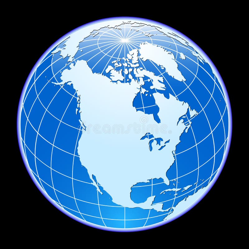
Free with trial Blue vector globe. North America. Longitude vectors Vector globe. Blue vector globe. North America. Blue vector globe. North America.
Free with trial Compass Rose#3. Vintage compass for design isolated on white. Longitude vectors Compass Rose#3. Vintage compass for design isolated on white
Free with trial Golden compass rose, isolated on white background. Vector illustration. Longitude vectors Golden compass rose. Isolated on white background. Vector illustration
Free with trial Wire frame globe - Gold. Golden Wire frame globe isolated on white background illustration. Longitude vectors Wire frame globe - Gold. Golden Wire frame globe isolated on white background illustration
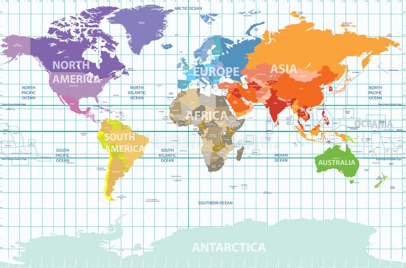
Free with trial Vector political map of the world with all continents separated by color, labeled countries and oceans, and with enumerated longitudes and latitudes on background. Longitude vectors Political map of the world with all continents separated by color, labeled countries and oceans, and with enumerated longitudes an. Vector political map of the. Vector political map of the world with all continents separated by color, labeled countries and oceans, and with enumerated longitudes and latitudes on background
Free with trial Globe grid. 3d sphere wires, earth network vector isolated set. Line sphere network, wire global grid, latitude structure illustration. Longitude vectors Globe grid. 3d sphere wires, earth network vector isolated set. Line sphere network, wire global grid, latitude structure illustration
Free with trial World countries and capitals (map with precision). Longitude vectors World countries and capitals. World countries and capitals (map with precision. World countries and capitals (map with precision)
Free with trial Wind rose compass vector symbol. Wind rose compass vintage vector symbol. Longitude vectors Wind rose compass vector symbol. Wind rose compass vintage vector symbol
Free with trial Vector abstract topographical map. With colorful lines. Longitude vectors Vector abstract topographical map. With colorful lines
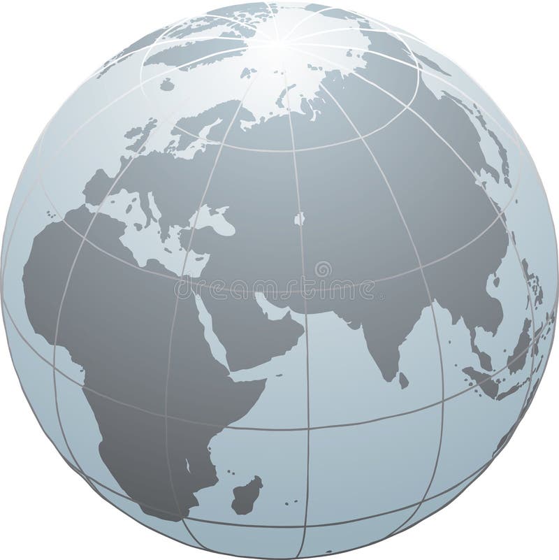
Free with trial Globe. Hand drawn globe with Africa, Europe and Asia. Longitude vectors Globe. Hand drawn globe with Africa, Europe and Asia
Free with trial Globe. Hand drawn globe with Africa, Europe, Asia and North America. Longitude vectors Globe. Hand drawn globe with Africa, Europe, Asia and North America
Free with trial Antique retro style metal compass set isolated on white background vector illustration. Longitude vectors Antique compass set. Antique retro style metal compass set isolated on white background vector illustration. Antique retro style metal compass set isolated on white background vector illustration.
Free with trial Vector compass icon set. On grey background. Longitude vectors Vector compass icon set. On grey background
Free with trial Compass3. Compass illustration with black background and marks for each of the 360 degrees. Longitude vectors Compass3. Compass illustration with black background and marks for each of the 360 degrees
Free with trial 4globes3d. Vector wire-frame globes in four positions. Longitude vectors 4globes3d. Vector wire-frame globes in four positions
Free with trial Wind rose. The direction of the compass. Longitude vectors Wind rose. The direction of the compass
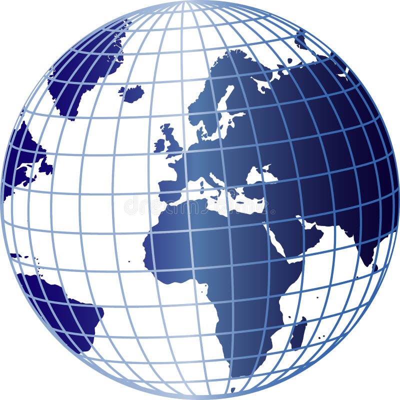
Free with trial World Globe. Clean blue World globe isolated on white background. Africa , Asia and Europe. Longitude vectors World Globe. Clean blue World globe isolated on white background. Africa , Asia and Europe
Free with trial Compass Rose. Black and silver compass rose vector, isolated on white. This is also available in an Illustrator ai file. Longitude vectors Compass Rose. Black and silver compass rose vector, isolated on white. This is also available in an Illustrator ai file
Free with trial A 3d illustrated background of a blue digital globe with an ecliptic around it. Longitude vectors 3D Blue Globe. A 3d illustrated background of a blue digital globe with an ecliptic around it. A 3d illustrated background of a blue digital globe with an ecliptic around it.
Free with trial A colored vector map of the northern hemisphere in Polar Stereographic projection, showing longitudes and latitudes. Longitude vectors Map of Northern Hemisphere - Polar Stereographic. A colored vector map of the northern hemisphere in Polar Stereographic projection, showing longitudes and. A colored vector map of the northern hemisphere in Polar Stereographic projection, showing longitudes and latitudes
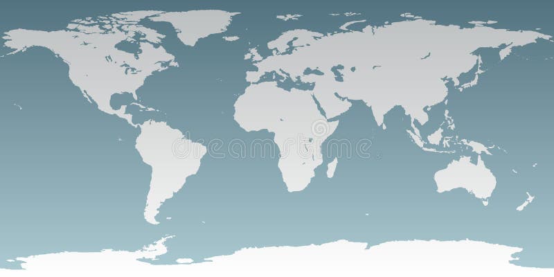
Free with trial Blue world map. World map with retro feel - slightly roughened map boundaries. Longitude vectors Blue world map. World map with retro feel - slightly roughened map boundaries
Free with trial Antique wind roses isolated on light background. Longitude vectors Antique wind roses. Isolated on light background
Free with trial Compass Design, (also know as wind rose in some places). Longitude vectors Compass1 (Brujula1). Compass Design, (also know as wind rose in some places. Compass Design, (also know as wind rose in some places)
Free with trial Wireframe globe icon. Black wireframe globe icon isolated on white background illustration. Longitude vectors Wireframe globe icon. Black wireframe globe icon isolated on white background illustration
Free with trial Topographic map background concept with space for your copy. Longitude vectors Topographic Background. Topographic map background concept with space for your copy. Topographic map background concept with space for your copy.
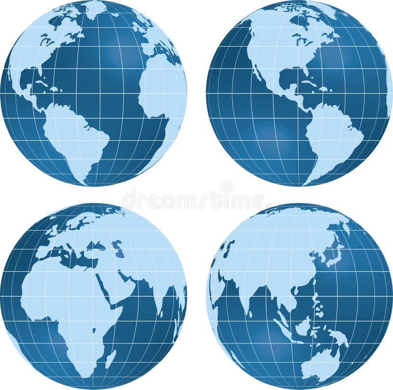
Free with trial Earth globe planet views isolated on white. Longitude vectors Earth globe planet view. Earth globe planet views isolated on white. Earth globe planet views isolated on white.
Free with trial Illustration of a blue and white globe with a grid overlay, isolated on a white background. Longitude vectors Globe with Grid Overlay. Illustration of a blue and white globe with a grid overlay, isolated on a white background. Illustration of a blue and white globe with a grid overlay, isolated on a white background.
Free with trial Accurate map of the world. Includes Antarctica. Maps to a sphere to make a globe accurately to latitude and longitude. Also includes many islands - Hawaii, Aleutians, Galapagos, Maldives, Canary, etc. The largest lakes and seas included. Particular care taken to make the arctic and antarctic map correctly to a sphere. Longitude vectors Neutral World High Detail. Accurate map of the world. Includes Antarctica. Maps to a sphere to make a globe accurately to latitude and longitude. Also includes. Accurate map of the world. Includes Antarctica. Maps to a sphere to make a globe accurately to latitude and longitude. Also includes many islands - Hawaii, Aleutians, Galapagos, Maldives, Canary, etc. The largest lakes and seas included. Particular care taken to make the arctic and antarctic map correctly to a sphere.
Free with trial Vector illustration of changing night and day. Longitude vectors Night and day. Vector illustration of changing night and day. Vector illustration of changing night and day.
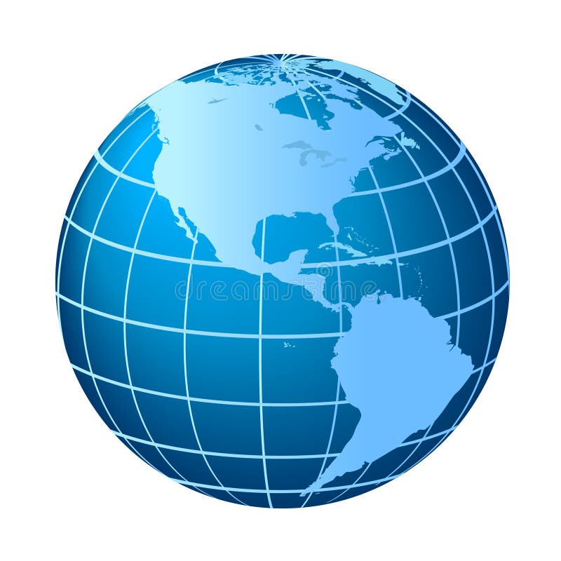
Free with trial North and South America globe. Globe with North and South America. Longitude vectors North and South America globe. Globe with North and South America
Free with trial World Map - Mollweide Projection. A colored vector world map in Mollweide projection, showing longitudes and latitudes. Longitude vectors World Map - Mollweide Projection. A colored vector world map in Mollweide projection, showing longitudes and latitudes
Free with trial Fantasy Space Navigation Sphere. Vector Illustration (EPS v. 8. 0). Longitude vectors Fantasy Space Navigation Sphere. Vector Illustration (EPS v.8.0
Free with trial Set of vintage antique wind rose nautical compass signs labels e. Mblems elements. Vector illustration. Longitude vectors Set of vintage antique wind rose nautical compass signs labels e. Mblems elements. Vector illustration
Free with trial Spheres. Illustration: original globe elements-spheres. Longitude vectors Spheres. Illustration: original globe elements-spheres
Free with trial Abstract contour map with different relief. Topographic vector illustration for navigation. Map line navigation, topography geographic terrain map. Longitude vectors Abstract contour map with different relief. Topographic vector illustration for navigation. Map line navigation, topography geographic terrain map
Free with trial A colored vector world map in Interrupted Goode projection, showing longitudes and latitudes. The projection splits the world in continental units. Longitude vectors World Map - Interrupted Goode Projection. A colored vector world map in Interrupted Goode projection, showing longitudes and latitudes. The projection splits the. A colored vector world map in Interrupted Goode projection, showing longitudes and latitudes. The projection splits the world in continental units.
Free with trial Retro nautical compass. Vintage rose of wind for sea world map navigation marine windrose icons. West and east or south and north arrows old travel antique equipment symbol isolated vector set. Longitude vectors Retro nautical compass. Vintage rose of wind for sea world map. West and east or south and north arrows symbol isolated. Retro nautical compass. Vintage rose of. Retro nautical compass. Vintage rose of wind for sea world map navigation marine windrose icons. West and east or south and north arrows old travel antique equipment symbol isolated vector set
Free with trial Wind rose. Map directions vintage compass. Ancient marine wind measure vector icons isolated. Isolated old sea or ocean navigation compass for ocean or marine retro cartography, boat or ship. Longitude vectors Wind rose. Map directions vintage compass. Ancient marine wind measure vector icons isolated. Isolated old sea or ocean navigation compass for ocean or marine
 Sign in