Free with trial House or home vector icon. On white background. Main state vectors House or home vector icon. On white background
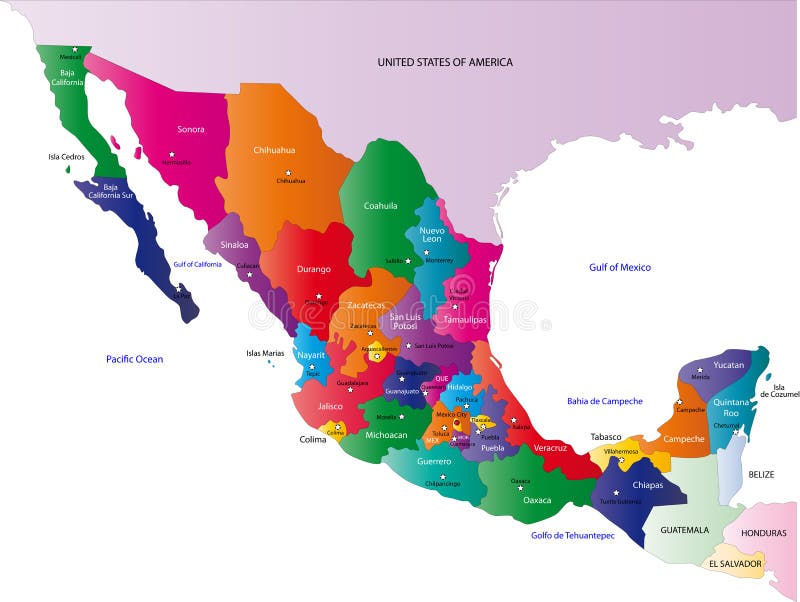
Free with trial Mexico map designed in illustration with the states colored in bright colors and with the main cities. On an illustration neighbouring countries are shown too. Main state vectors Map of Mexico. Mexico map designed in illustration with the states colored in bright colors and with the main cities. On an illustration neighbouring countries. Mexico map designed in illustration with the states colored in bright colors and with the main cities. On an illustration neighbouring countries are shown too
Free with trial Blind map of Australia with country borders. Names of the states and their the main cities are in an additional format (. AI) in the latent layer. Main state vectors Australia blind map. Blind map of Australia with country borders. Names of the states and their the main cities are in an additional format (. AI) in the latent. Blind map of Australia with country borders. Names of the states and their the main cities are in an additional format (. AI) in the latent layer
Free with trial State of New York designed in illustration with the counties and the main cities. (Map is hight resolution). Main state vectors State of New York. Designed in illustration with the counties and the main cities. (Map is hight resolution
Free with trial State of New York designed in illustration with the counties and the main cities. (Map is hight resolution). Main state vectors State of New York. Designed in illustration with the counties and the main cities. (Map is hight resolution
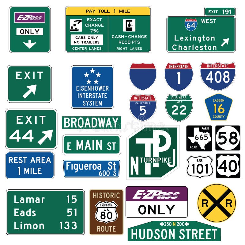
Free with trial Vector Illustration collection of the select Traffic Signs in the United States, isolated on white background. You can find other road signs in my portfolio. EPS file available. Guide signs are essential to direct road users along streets and highways, to inform them of intersecting routes, rnto direct them to cities, towns, villages, or other important destinations, to identify nearby rivers and streams, parks, forests, and historical sites, and generally to give such information as will help them along their way in the most simple, direct manner possible. rnrnIn the United States, road signs are, for the most part, standardized by federal regulations, most notably in the Manual on Uniform Traffic Control Devices (MUTCD) and its companion volume the Standard Highway Signs (SHS). There currently are no plans for adopting the Vienna Convention on Road Signs and Signals standards. Twenty-three states along with the District of Columbia and Puerto Rico use the manual without any alterations, 20 states have adopted it in conjunction with a supplemental volume, and seven states have a state version in substantial conformance to the MUTCD. There are also localized versions that are used in large cities such as New York City which use a naming system compatible with the MUTCD and/or state supplement. The MUTCD and SHS establish seven general categories of signs for road and highway use. rnrnIncluded illustrations are select examples of the MUTCD Guide Signs categories. rn. Main state vectors Traffic Guide Signs in the United States. Vector Illustration collection of the select Traffic Signs in the United States, isolated on white background. You can. Vector Illustration collection of the select Traffic Signs in the United States, isolated on white background. You can find other road signs in my portfolio. EPS file available. Guide signs are essential to direct road users along streets and highways, to inform them of intersecting routes, rnto direct them to cities, towns, villages, or other important destinations, to identify nearby rivers and streams, parks, forests, and historical sites, and generally to give such information as will help them along their way in the most simple, direct manner possible.rnrnIn the United States, road signs are, for the most part, standardized by federal regulations, most notably in the Manual on Uniform Traffic Control Devices (MUTCD) and its companion volume the Standard Highway Signs (SHS). There currently are no plans for adopting the Vienna Convention on Road Signs and Signals standards. Twenty-three states along with the District of Columbia and Puerto Rico use the manual without any alterations, 20 states have adopted it in conjunction with a supplemental volume, and seven states have a state version in substantial conformance to the MUTCD. There are also localized versions that are used in large cities such as New York City which use a naming system compatible with the MUTCD and/or state supplement. The MUTCD and SHS establish seven general categories of signs for road and highway use.rnrnIncluded illustrations are select examples of the MUTCD Guide Signs categories.rn
Free with trial Home icon. Main page button. Navigation sign. Black silhouette symbol isolated on white background. Simple vector icon for web site design or button to mobile app. Main state vectors Home icon. Main page button. Navigation sign. Black silhouette symbol isolated on white background. Simple vector icon for web site design or button to mobile
Free with trial Ohio Map. Illustration of the map of the Great State of Ohio, USA. Featuring its main cities, rivers, lakes and the highest peak of the state. Main state vectors Ohio Map. Illustration of the map of the Great State of Ohio, USA. Featuring its main cities, rivers, lakes and the highest peak of the state
Free with trial Panama map designed in illustration with the regions colored in bright colors and with the main cities. (Map is hight resolution). Main state vectors Panama map. Designed in illustration with the regions colored in bright colors and with the main cities. (Map is hight resolution
Free with trial Map of Panama. Panama map designed in illustration with the regions colored in bright colors and with the main cities. (Map is hight resolution. Main state vectors Map of Panama. Panama map designed in illustration with the regions colored in bright colors and with the main cities. (Map is hight resolution
Free with trial South Korea map designed in illustration with the regions colored in bright colors and with the main cities. (Map is hight resolution). Main state vectors South Korea map. Designed in illustration with the regions colored in bright colors and with the main cities. (Map is hight resolution
Free with trial Map of South Korea. South Korea map designed in illustration with the regions colored in bright colors and with the main cities. (Map is hight resolution. Main state vectors Map of South Korea. South Korea map designed in illustration with the regions colored in bright colors and with the main cities. (Map is hight resolution
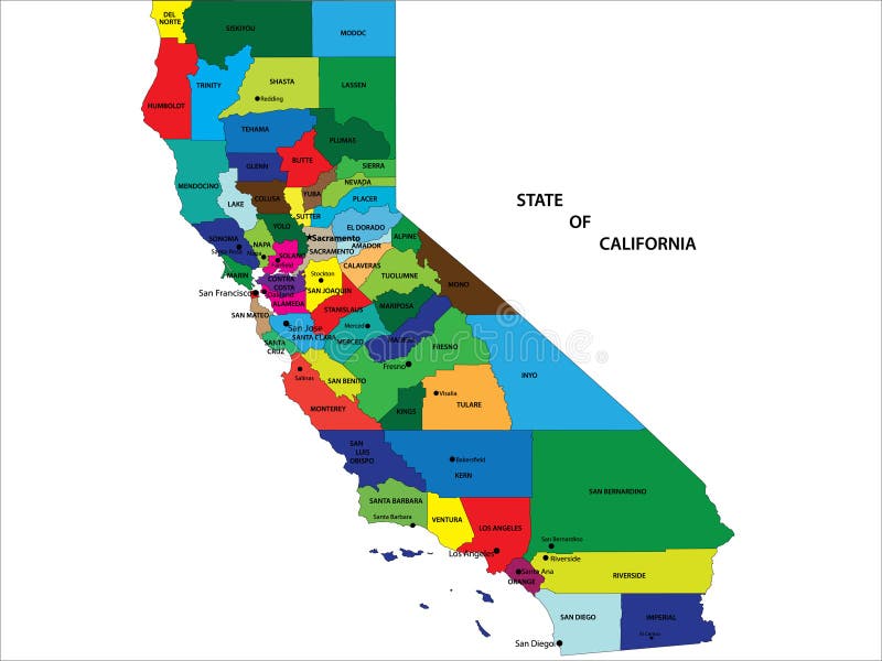
Free with trial State of California map. State of California vector map with counties and main cities. Main state vectors State of California map. State of California vector map with counties and main cities
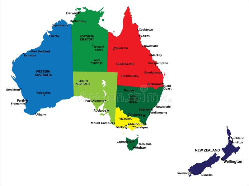
Free with trial Australia and New Zealand. Vector map of Australia and New Zealand with state borders and main cities. Main state vectors Australia and New Zealand. Vector map of Australia and New Zealand with state borders and main cities
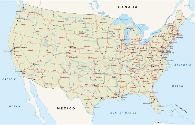
Free with trial Us interstate highway map. Map of the united states with the main streets, highways. Main state vectors Us interstate highway map. Map of the united states with the main streets, highways
Free with trial Mexico map designed in illustration with states colored in bright colors and with the main cities. Neighbouring countries are in an additional format (. AI) in the latent layer. Main state vectors Mexico map. Designed in illustration with states colored in bright colors and with the main cities. Neighbouring countries are in an additional format (.AI) in
Free with trial Jamaica map. Illustration of a detailed political map of Jamaica, with its main cities, mountains and rivers. Main state vectors Jamaica map. Illustration of a detailed political map of Jamaica, with its main cities, mountains and rivers
Free with trial Malaysia map designed in illustration with the provinces and the main cities. (Map is hight resolution). Main state vectors Malaysia map. Designed in illustration with the provinces and the main cities. (Map is hight resolution
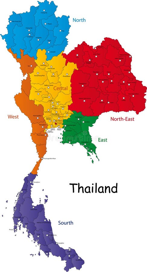
Free with trial Map of Thailand. Thailand map designed in illustration with the regions and provinces with the main cities. (Map is in high resolution. Main state vectors Map of Thailand. Thailand map designed in illustration with the regions and provinces with the main cities. (Map is in high resolution
Free with trial Saudi Arabia map designed in illustration with the provinces and the main cities. Main state vectors Saudi Arabia map. Designed in illustration with the provinces and the main cities
Free with trial South Africa map designed in illustration with the provinces and the main cities. Main state vectors South Africa map. Designed in illustration with the provinces and the main cities
Free with trial South Africa map designed in illustration with the provinces and the main cities. Main state vectors Map of South Africa. South Africa map designed in illustration with the provinces and the main cities. South Africa map designed in illustration with the provinces and the main cities.
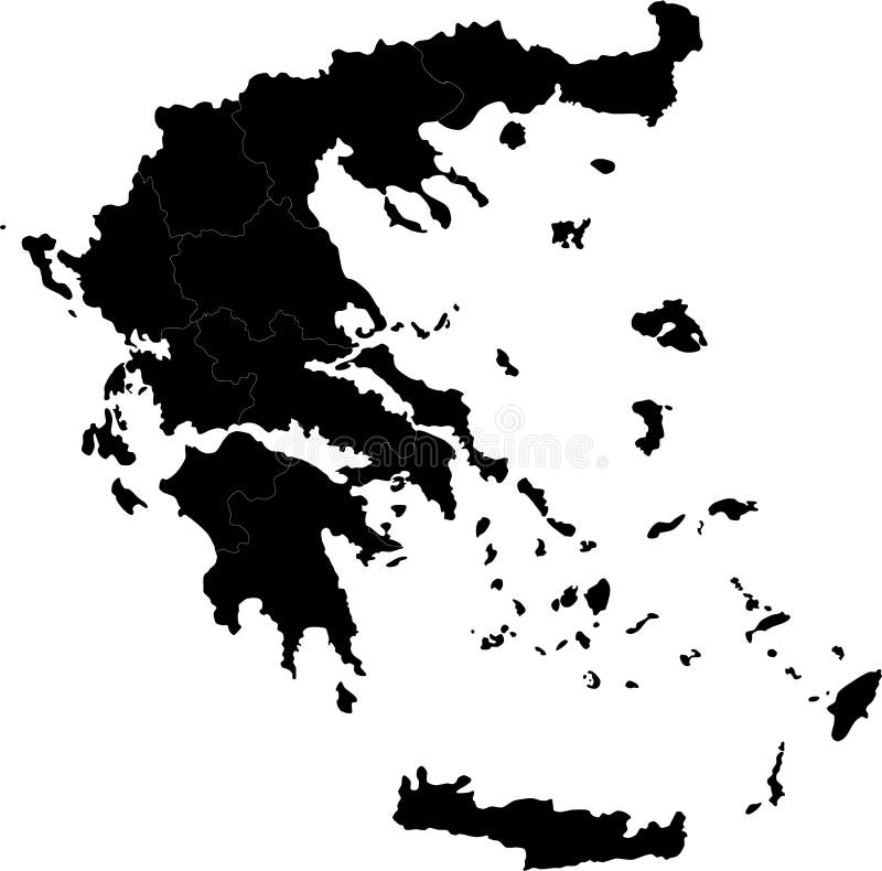
Free with trial Greece. Blind map of Greece with regions borders. Names of the regions, main cities, and neighbouring countries are in an additional format (. AI) in the latent. Main state vectors Greece. Blind map of Greece with regions borders. Names of the regions, main cities, and neighbouring countries are in an additional format (.AI) in the latent
Free with trial Vietnam map designed in illustration with the provinces and the main cities. (Map is hight resolution). Main state vectors Vietnam map. Designed in illustration with the provinces and the main cities. (Map is hight resolution
Free with trial Vector illustration with all the main monuments of the world together, useful for travel agencies and world events, with landmarks such as eiffel tower, liberty statue, pyramids, coliseum and saint basil cathedral in moscow. Main state vectors Travel destinations landmarks. Vector illustration with all the main monuments of the world together, useful for travel agencies and world events, with landmarks. Vector illustration with all the main monuments of the world together, useful for travel agencies and world events, with landmarks such as eiffel tower, liberty statue, pyramids, coliseum and saint basil cathedral in moscow
Free with trial Vectored silhouettes of most famous landmarks of the world, including thaj mahal in india, coliseum in rome, opera house of sydney, saint basil's cathedral in moscow, eiffel tower in paris, liberty statue in new york. london's big ben, petronas twin towers in kuala lumpur and more. Main state vectors World landmarks and monuments. Vectored silhouettes of most famous landmarks of the world, including thaj mahal in india, coliseum in rome, opera house of sydney. Vectored silhouettes of most famous landmarks of the world, including thaj mahal in india, coliseum in rome, opera house of sydney, saint basil's cathedral in moscow, eiffel tower in paris, liberty statue in new york. london's big ben, petronas twin towers in kuala lumpur and more
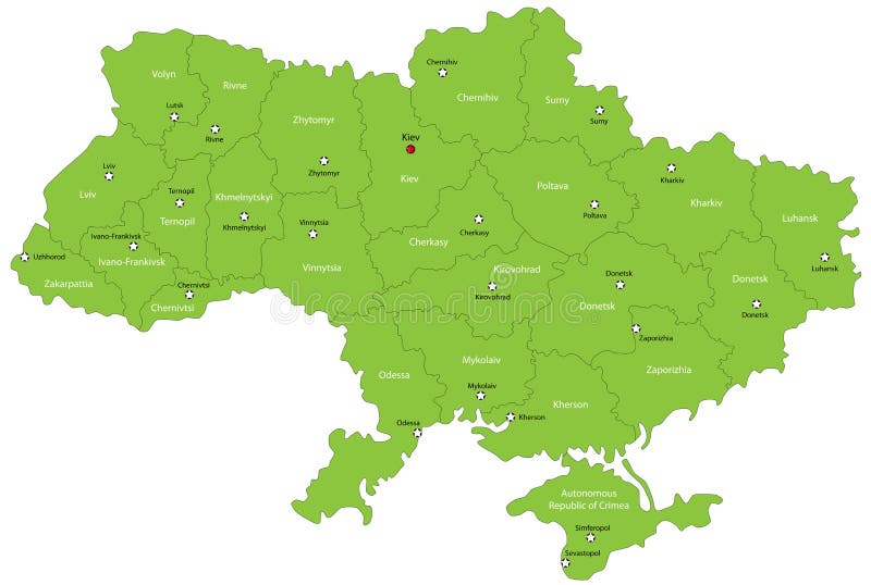
Free with trial Ukraine map designed in illustration with the oblasts colored in green colors and with the main cities. Neighbouring countries are in an additional format (. AI) in the latent layer. Main state vectors Ukraine map. Designed in illustration with the oblasts colored in green colors and with the main cities. Neighbouring countries are in an additional format (. Ukraine map designed in illustration with the oblasts colored in green colors and with the main cities. Neighbouring countries are in an additional format (. AI) in the latent layer.
Free with trial Thailand map designed in illustration with the provinces and the main cities. (Map is hight resolution). Main state vectors Thailand map. Designed in illustration with the provinces and the main cities. (Map is hight resolution
Free with trial Honduras map designed in illustration with the regions colored in bright colors and with the main cities. Main state vectors Honduras map. Designed in illustration with the regions colored in bright colors and with the main cities
Free with trial Sri Lanka map designed in illustration with the regions and provinces with the main cities. (Map is in high resolution). Main state vectors Sri Lanka map. Designed in illustration with the regions and provinces with the main cities. (Map is in high resolution
Free with trial Nicaragua map designed in illustration with the regions colored in bright colors and with the main cities. Main state vectors Nicaragua map. Designed in illustration with the regions colored in bright colors and with the main cities
Free with trial Map of Vietnam. Vietnam map designed in illustration with the regions and provinces colored in bright colors and with the main cities. (Map is hight resolution. Main state vectors Map of Vietnam. Vietnam map designed in illustration with the regions and provinces colored in bright colors and with the main cities. (Map is hight resolution
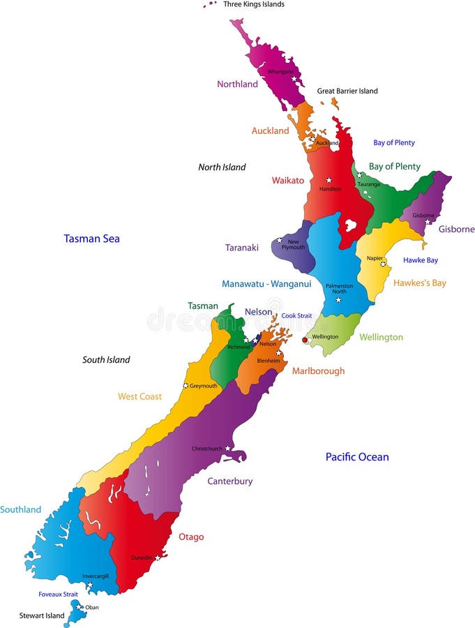
Free with trial New Zealand map with the regions colored in bright colors and with the main cities. Main state vectors New Zealand map. With the regions colored in bright colors and with the main cities
Free with trial Malaysia map designed in illustration with the provinces and the main cities. (Map is hight resolution). Main state vectors Map of Malaysia. Malaysia map designed in illustration with the provinces and the main cities. (Map is hight resolution. Malaysia map designed in illustration with the provinces and the main cities. (Map is hight resolution)
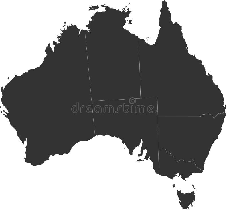
Free with trial A map of the Australian continent with the states on the continent colored in grey colors and the main cities. Main state vectors Map of Australia. A map of the Australian continent with the states on the continent colored in grey colors and the main cities. A map of the Australian continent with the states on the continent colored in grey colors and the main cities.
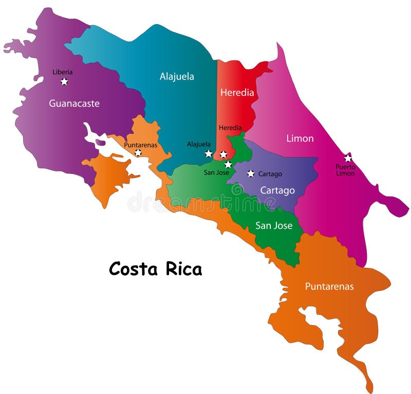
Free with trial Costa Rica map designed in illustration with 7 provinces colored in bright colors and with the main cities. Neighbouring countries are in an additional format (. AI) in the latent layer. Costa Rica map with. Main state vectors Map of Costa Rica. Costa Rica map designed in illustration with 7 provinces colored in bright colors and with the main cities. Neighbouring countries are in an. Costa Rica map designed in illustration with 7 provinces colored in bright colors and with the main cities. Neighbouring countries are in an additional format (.AI) in the latent layer. Costa Rica map with
Free with trial Vector map of North and Central America Continent with Countries, Capitals, Main Cities and Seas and islands names in strong brilliant colors. Main state vectors Colorful Vector map of North and Central America. Vector map of North and Central America Continent with Countries, Capitals, Main Cities and Seas and islands. Vector map of North and Central America Continent with Countries, Capitals, Main Cities and Seas and islands names in strong brilliant colors.
Free with trial Poland map designed in illustration with the 16 provinces colored in green colors and with the main cities. Neighbouring countries are in an additional format (. AI) in the latent layer. Main state vectors Poland. Map designed in illustration with the 16 provinces colored in green colors and with the main cities. Neighbouring countries are in an additional format. Poland map designed in illustration with the 16 provinces colored in green colors and with the main cities. Neighbouring countries are in an additional format (.AI) in the latent layer.
Free with trial Brazilmap designed in illustration with states colored in green colors and with the main cities. Neighbouring countries are in an additional format (. AI) in the latent layer. Main state vectors Brazil. Map designed in illustration with states colored in green colors and with the main cities. Neighbouring countries are in an additional format (. AI) in
Free with trial Costa Rica map designed in illustration with 7 provinces colored in green colors and with the main cities. Neighbouring countries are in an additional format (. AI) in the latent layer. Main state vectors Vector Costa Rica map. Costa Rica map designed in illustration with 7 provinces colored in green colors and with the main cities. Neighbouring countries are in. Costa Rica map designed in illustration with 7 provinces colored in green colors and with the main cities. Neighbouring countries are in an additional format (.AI) in the latent layer.
Free with trial Flat vector illustration with stylized travel map of Ireland. The landmarks and main cities like Dublin and Belfast. Text Welcome to Ireland. Main state vectors Travel map of Ireland with landmarks and cities. Flat vector illustration with stylized travel map of Ireland. The landmarks and main cities like Dublin and. Flat vector illustration with stylized travel map of Ireland. The landmarks and main cities like Dublin and Belfast. Text Welcome to Ireland
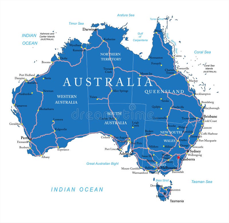
Free with trial Highly detailed vector map of Australia with administrative regions, main cities and roads. Main state vectors Australia road map. Highly detailed vector map of Australia with administrative regions, main cities and roads. Highly detailed vector map of Australia with administrative regions, main cities and roads.
Free with trial Dark grey Home outline icon vector eps10. House icon outline. Home icon. Main state vectors Dark grey Home outline icon vector eps10. House icon outline. Home icon. Dark grey Home outline icon vector eps10. House icon outline
Free with trial Mexico vector map with the main cities. Main state vectors Mexico vector map. With the main cities
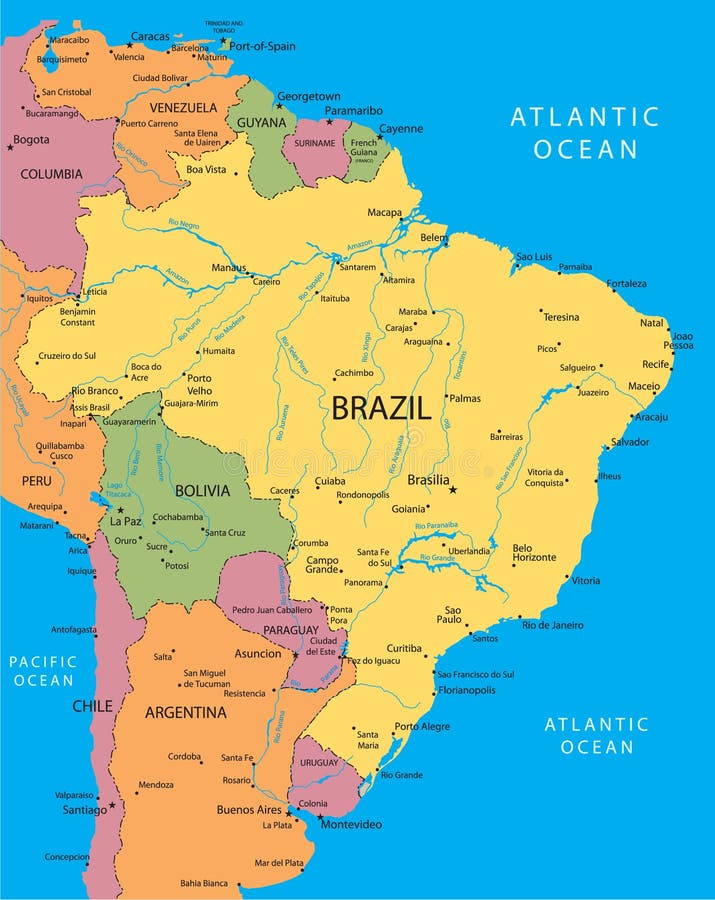
Free with trial Brazil vector map with the main cities. Main state vectors Brazil vector map. With the main cities
Free with trial Mexico map designed in illustration with states colored in green colors and with the main cities. Neighbouring countries are in an additional format (. AI) in the latent layer. Main state vectors Vector Mexico map. Mexico map designed in illustration with states colored in green colors and with the main cities. Neighbouring countries are in an additional. Mexico map designed in illustration with states colored in green colors and with the main cities. Neighbouring countries are in an additional format (. AI) in the latent layer.
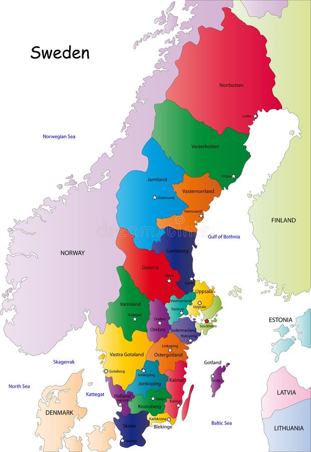
Free with trial Sweden map. Designed in illustration with the regions colored in bright colors and with the main cities. On an illustration neighbouring countries are shown too. Main state vectors Sweden map. Designed in illustration with the regions colored in bright colors and with the main cities. On an illustration neighbouring countries are shown too
Free with trial Blind map of Denmark with regions borders. Names of the regions, main cities, and neighbouring countries are in an additional format (. AI) in the latent layer. Main state vectors Denmark map. Blind map of Denmark with regions borders. Names of the regions, main cities, and neighbouring countries are in an additional format (.AI) in the. Blind map of Denmark with regions borders. Names of the regions, main cities, and neighbouring countries are in an additional format (.AI) in the latent layer.
Free with trial Argentina map designed in illustration with states colored in bright colors and with the main cities. Neighbouring countries are in an additional format (. AI) in the latent layer. Main state vectors Argentina map. Designed in illustration with states colored in bright colors and with the main cities. Neighbouring countries are in an additional format (. AI
Free with trial Greece map designed in illustration with the regions colored in green colors and with the main cities. Neighbouring countries are in an additional format (. AI) in the latent layer. Main state vectors Map of Greece. Greece map designed in illustration with the regions colored in green colors and with the main cities. Neighbouring countries are in an additional. Greece map designed in illustration with the regions colored in green colors and with the main cities. Neighbouring countries are in an additional format (.AI) in the latent layer.
Free with trial Netherlands map designed in illustration with the regions colored in bright colors and with the main cities. Neighbouring countries are in an additional format (. AI) in the latent layer. Main state vectors Netherlands map. Designed in illustration with the regions colored in bright colors and with the main cities. Neighbouring countries are in an additional format. Netherlands map designed in illustration with the regions colored in bright colors and with the main cities. Neighbouring countries are in an additional format (. AI) in the latent layer.
Free with trial Belgium map designed in illustration with the regions colored in grey colors and with the main cities. Neighbouring countries are in an additional format (. AI) in the latent layer. Main state vectors Belgium map. Designed in illustration with the regions colored in grey colors and with the main cities. Neighbouring countries are in an additional format (.AI
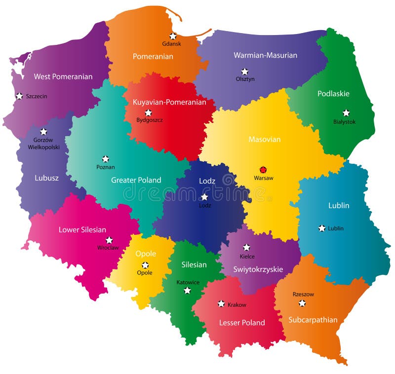
Free with trial Poland map designed in illustration with the 16 provinces colored in bright colors and with the main cities. On an illustration neighbouring countries are shown too. Main state vectors Poland map. Designed in illustration with the 16 provinces colored in bright colors and with the main cities. On an illustration neighbouring countries are
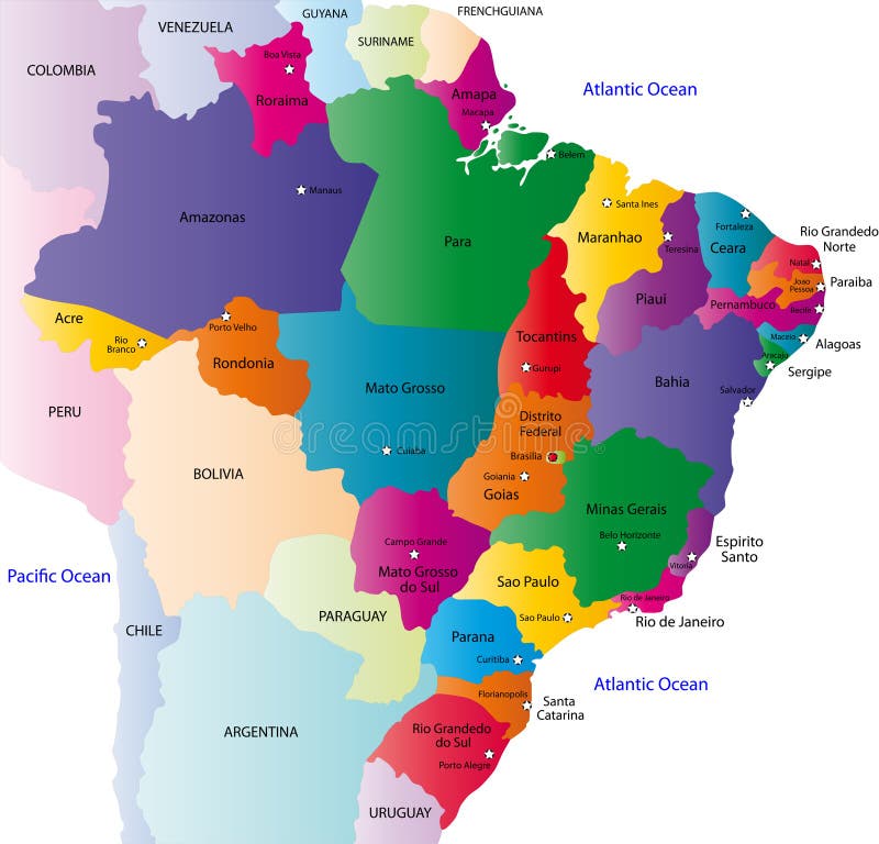
Free with trial Brazil map designed in illustration with the 26 states colored in bright colors and with the main cities. On an illustration neighbouring countries are shown too. Main state vectors Brazil map. Designed in illustration with the 26 states colored in bright colors and with the main cities. On an illustration neighbouring countries are shown
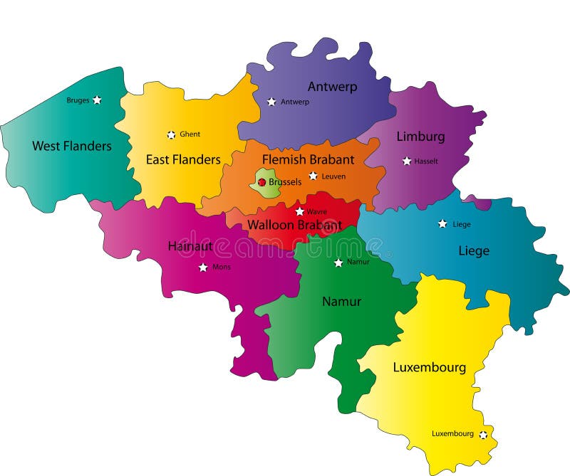
Free with trial Belgium map designed in illustration with the regions colored in bright colors and with the main cities. Neighbouring countries are in an additional format (. AI) in the latent layer. Main state vectors Map of Belgium. Belgium map designed in illustration with the regions colored in bright colors and with the main cities. Neighbouring countries are in an. Belgium map designed in illustration with the regions colored in bright colors and with the main cities. Neighbouring countries are in an additional format (. AI) in the latent layer.
Free with trial Poland map designed in illustration with the 16 provinces colored in bright colors and with the main cities. Neighbouring countries are in an additional format (. AI) in the latent layer. Main state vectors Color Poland map. Poland map designed in illustration with the 16 provinces colored in bright colors and with the main cities. Neighbouring countries are in an. Poland map designed in illustration with the 16 provinces colored in bright colors and with the main cities. Neighbouring countries are in an additional format (.AI) in the latent layer.
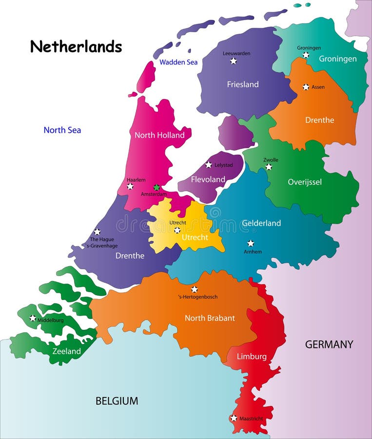
Free with trial Netherlands map designed in illustration with the regions colored in bright colors and with the main cities. On an illustration neighbouring countries are shown too. Main state vectors Netherlands map. Designed in illustration with the regions colored in bright colors and with the main cities. On an illustration neighbouring countries are
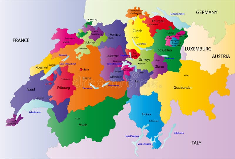
Free with trial Switzerland map designed in illustration with the regions colored in bright colors and with the main cities. Neighbouring countries are in an additional format (. AI) in the latent layer. Main state vectors Switzerland map. Designed in illustration with the regions colored in bright colors and with the main cities. Neighbouring countries are in an additional format. Switzerland map designed in illustration with the regions colored in bright colors and with the main cities. Neighbouring countries are in an additional format (. AI) in the latent layer.
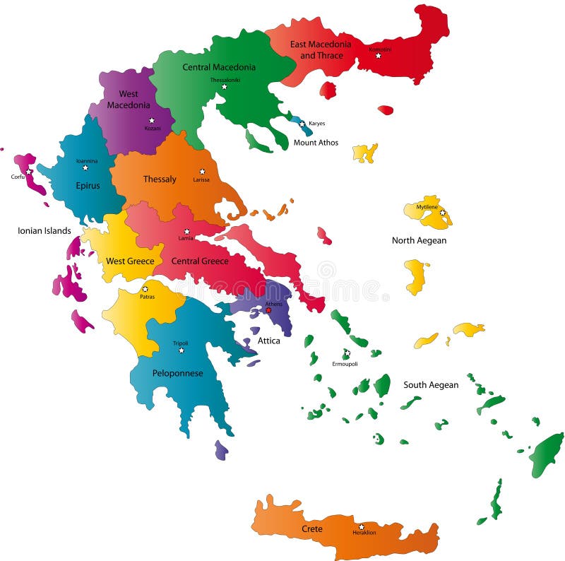
Free with trial Greece map designed in illustration with the regions colored in bright colors and with the main cities. Neighbouring countries are in an additional format (. AI) in the latent layer. Main state vectors Vector Greece map. Greece map designed in illustration with the regions colored in bright colors and with the main cities. Neighbouring countries are in an. Greece map designed in illustration with the regions colored in bright colors and with the main cities. Neighbouring countries are in an additional format (.AI) in the latent layer.
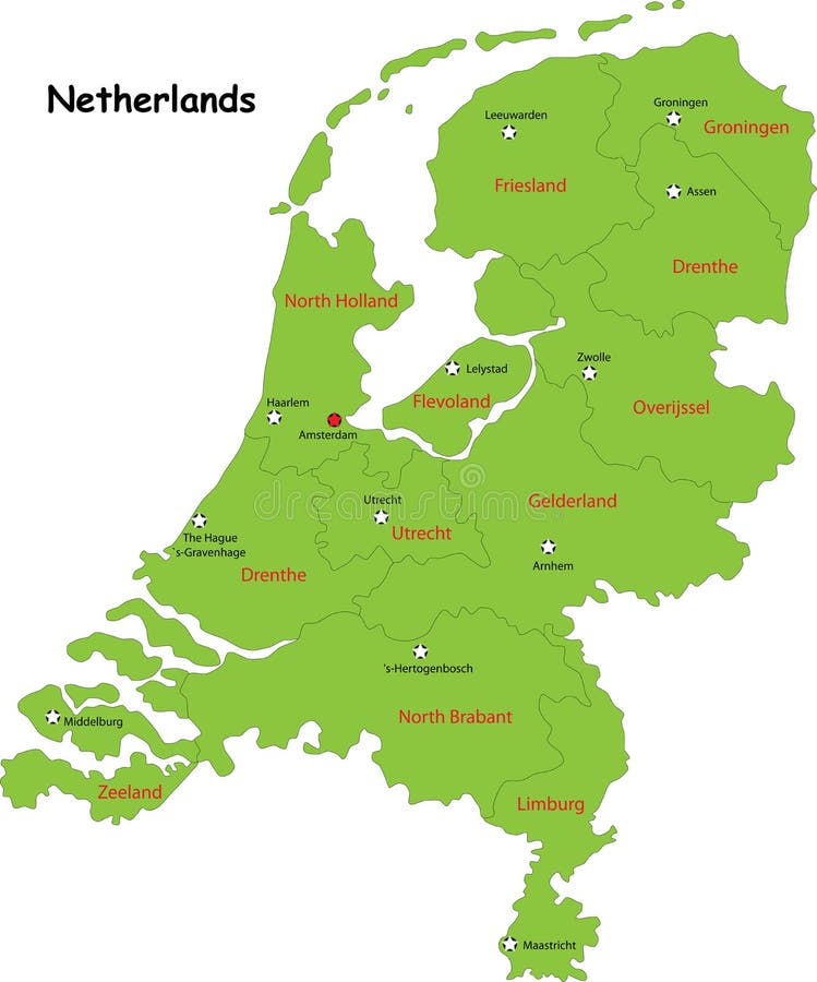
Free with trial Netherlands map designed in illustration with the regions colored in green colors and with the main cities. Neighbouring countries are in an additional format (. AI) in the latent layer. Main state vectors Vector Netherlands map. Netherlands map designed in illustration with the regions colored in green colors and with the main cities. Neighbouring countries are in. Netherlands map designed in illustration with the regions colored in green colors and with the main cities. Neighbouring countries are in an additional format (.AI) in the latent layer.
Free with trial Switzerland map designed in illustration with the regions colored in bright colors and with the main cities. On an illustration neighbouring countries are shown too. Main state vectors Vector Switzerland map. Switzerland map designed in illustration with the regions colored in bright colors and with the main cities. On an illustration. Switzerland map designed in illustration with the regions colored in bright colors and with the main cities. On an illustration neighbouring countries are shown too
Free with trial Netherlands map. Administrative division of Netherlands designed in illustration with the regions colored in bright colors and with the main cities. Main state vectors Netherlands map. Administrative division of Netherlands designed in illustration with the regions colored in bright colors and with the main cities
Free with trial Switzerland map designed in illustration with the regions colored in green colors and with the main cities. Neighbouring countries are in an additional format (. AI) in the latent layer. Main state vectors Switzerland map,. Switzerland map designed in illustration with the regions colored in green colors and with the main cities. Neighbouring countries are in an. Switzerland map designed in illustration with the regions colored in green colors and with the main cities. Neighbouring countries are in an additional format (. AI) in the latent layer.
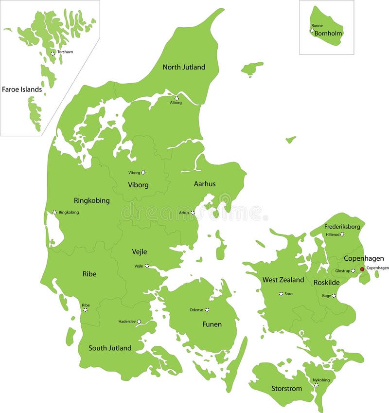
Free with trial Denmark map designed in illustration with the regions colored in green colors and with the main cities. Neighbouring countries are in an additional format (. AI) in the latent layer. Main state vectors Denmark map. Designed in illustration with the regions colored in green colors and with the main cities. Neighbouring countries are in an additional format (.AI
Free with trial Map of usa. A colorful map of the usa. Main state vectors Map of usa. A colorful map of the usa
Free with trial Blind map of Netherlands with regions borders. Names of the regions, main cities, and neighbouring countries are in an additional format (. AI) in the latent layer. Main state vectors Map of Netherlands. Blind map of Netherlands with regions borders. Names of the regions, main cities, and neighbouring countries are in an additional format (.AI. Blind map of Netherlands with regions borders. Names of the regions, main cities, and neighbouring countries are in an additional format (.AI) in the latent layer.
Free with trial Slovakia map designed in illustration with the regions colored in bright colors and with the main cities. Neighbouring countries are in an additional format (. AI) in the latent layer. Main state vectors Map of Slovakia. Slovakia map designed in illustration with the regions colored in bright colors and with the main cities. Neighbouring countries are in an. Slovakia map designed in illustration with the regions colored in bright colors and with the main cities. Neighbouring countries are in an additional format (. AI) in the latent layer.
Free with trial Wall street main street intersection. Realistic Wall street main street intersection illustration. Main state vectors Wall street main street intersection. Realistic Wall street main street intersection illustration
Free with trial Nevada streets and administrative map with interstate US highways and main roads. Main state vectors Nevada streets and administrative map with interstate US highways and main roads.
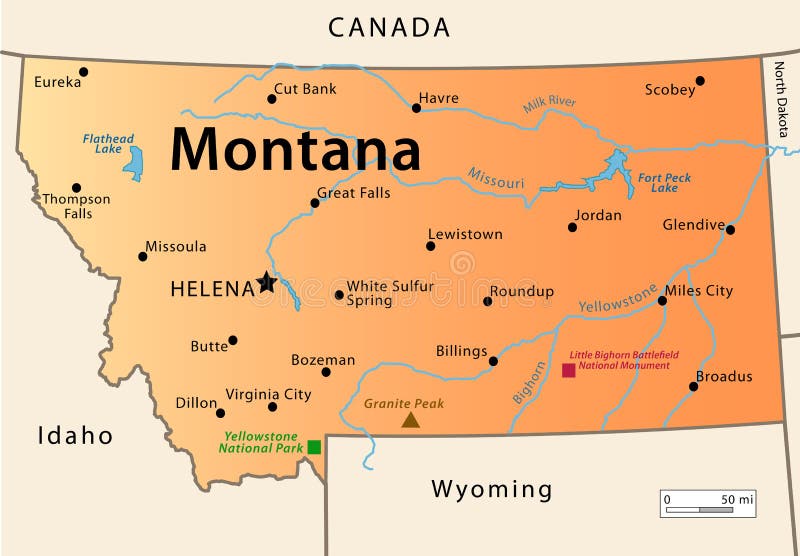
Free with trial Montana Map. Illustration of the map of the Great State of Montana, USA. Featuring its main cities, rivers, lakes and the highest peak of the state. Main state vectors Montana Map. Illustration of the map of the Great State of Montana, USA. Featuring its main cities, rivers, lakes and the highest peak of the state
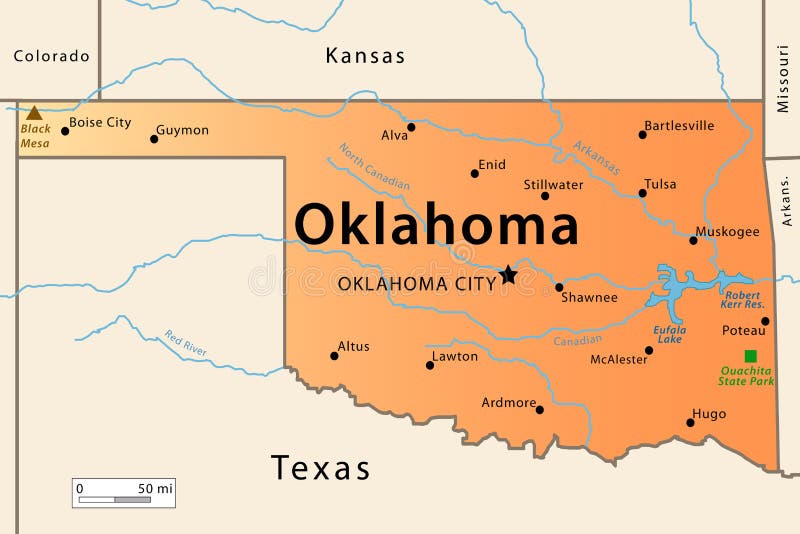
Free with trial Oklahoma Map. Illustration of the map of the Great State of Oklahoma , USA. Featuring its main cities, rivers, lakes and the highest peak of the state. Main state vectors Oklahoma Map. Illustration of the map of the Great State of Oklahoma , USA. Featuring its main cities, rivers, lakes and the highest peak of the state
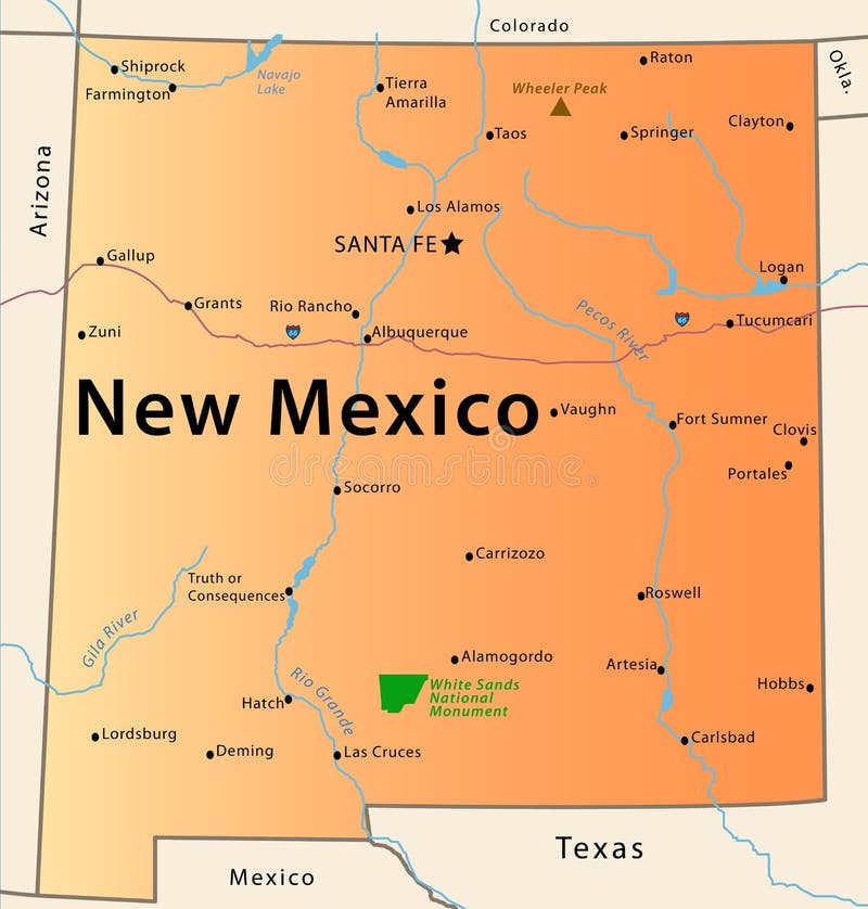
Free with trial Illustration of the map of the Great State of New Mexico, USA. Featuring rivers, the highest peak of the state, the route 66, White Sands National Park and main cities. Main state vectors New Mexico Map. Illustration of the map of the Great State of New Mexico, USA. Featuring rivers, the highest peak of the state, the route 66, White Sands. Illustration of the map of the Great State of New Mexico, USA. Featuring rivers, the highest peak of the state, the route 66, White Sands National Park and main cities.
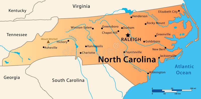
Free with trial North Carolina Map. Illustration of the map of the Great State of North Carolina, USA. Featuring its main cities, rivers, lakes and the highest peak of the state. Main state vectors North Carolina Map. Illustration of the map of the Great State of North Carolina, USA. Featuring its main cities, rivers, lakes and the highest peak of the state
Free with trial Vector illustration of travel related header for web sites and blogs, with famous landmarks as coliseum in rome, empire state building and pyramids, and nice design artworks. Main state vectors Travel web site header template. Vector illustration of travel related header for web sites and blogs, with famous landmarks as coliseum in rome, empire state. Vector illustration of travel related header for web sites and blogs, with famous landmarks as coliseum in rome, empire state building and pyramids, and nice design artworks
Free with trial Qatar map designed in illustration with the regions colored in bright colors and with the main cities. Main state vectors Qatar map. Designed in illustration with the regions colored in bright colors and with the main cities
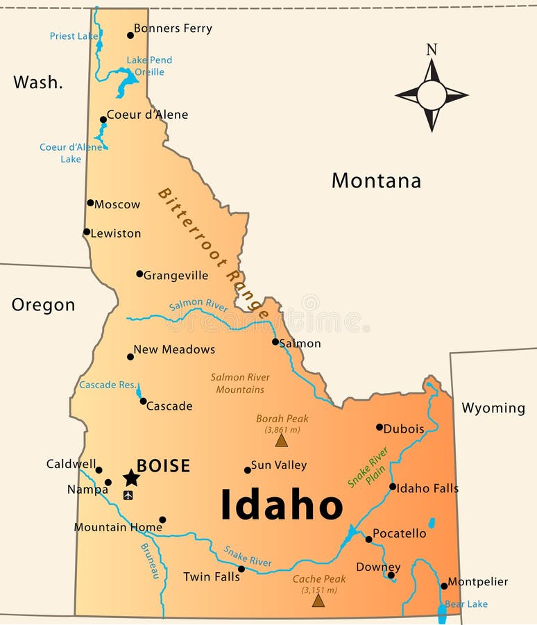
Free with trial Idaho Map. Illustration of the map of the Great State of Idaho, USA. Featuring its main cities, rivers, lakes and the highest peak of the state. Main state vectors Idaho Map. Illustration of the map of the Great State of Idaho, USA. Featuring its main cities, rivers, lakes and the highest peak of the state
Free with trial Highly detailed vector map of Alaska with administrative division and main cities. Main state vectors State of Alaska map. Highly detailed vector map of Alaska with administrative division and main cities. Highly detailed vector map of Alaska with administrative division and main cities.
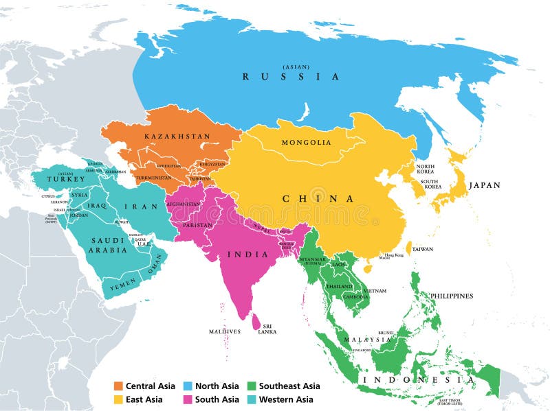
Free with trial Main regions of Asia. Political map with single countries. Colored subregions of the Asian continent. Central, East, North, South, Southeast and Western Asia. English labeled. Illustration. Vector. Main state vectors Asia, continent, main regions, political map with subregions. Main regions of Asia. Political map with single countries. Colored subregions of the Asian. Main regions of Asia. Political map with single countries. Colored subregions of the Asian continent. Central, East, North, South, Southeast and Western Asia. English labeled. Illustration. Vector.
Free with trial Australia map. Australia road map with the most important cities and main roads. Main state vectors Australia map. Australia road map with the most important cities and main roads
Free with trial Hungary map designed in illustration with the regions colored in green colors and with the main cities. Neighbouring countries are in an additional format (. AI) in the latent layer. Main state vectors Hungary map. Designed in illustration with the regions colored in green colors and with the main cities. Neighbouring countries are in an additional format (.AI
 Sign in