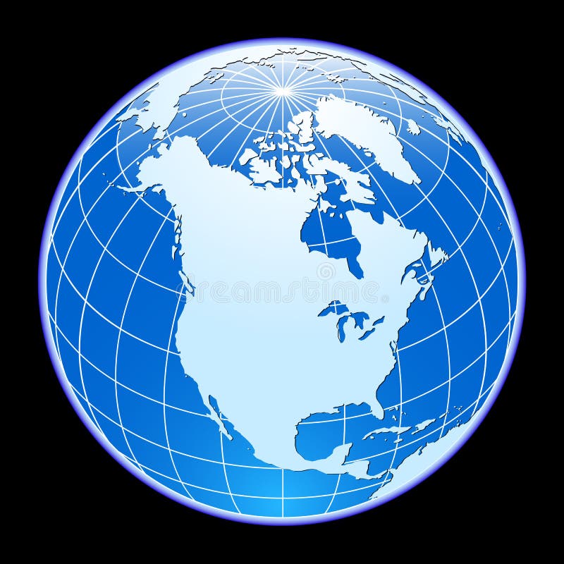
Free with trial World Globe. Blue world globe isolated on white background. with North and south America. North vectors World Globe. Blue world globe isolated on white background. with North and south America
Free with trial City skyline North America. Large set of silhouettes of American cities. North vectors City skyline North America. Large set of silhouettes of American cities
Free with trial Compass. Illustration with north south east west. North vectors Compass. Illustration with north south east west
Free with trial North arrow icon or N direction point symbol. Vector logo for GPS navigator map isolated on transparent background. North vectors North arrow icon N direction vector point symbol. North arrow icon or N direction point symbol. Vector logo for GPS navigator map isolated on transparent. North arrow icon or N direction point symbol. Vector logo for GPS navigator map isolated on transparent background
Free with trial South North Pole Globe vector. South and North Pole Globe surounding with white background in vector. North vectors South North Pole Globe vector. South and North Pole Globe surounding with white background in vector
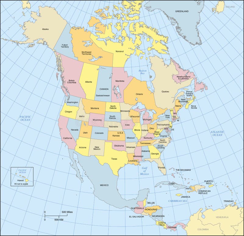
Free with trial North America map showing countries, states, provinces, lat/long grid and oceans. Countries, states, provinces and oceans are labeled. Conic Projection. North vectors North America Map. Showing countries, states, provinces, lat/long grid and oceans. Countries, states, provinces and oceans are labeled. Conic Projection
Free with trial Vintage map of North America. Vector Illustration of Vintage map of North America. North vectors Vintage map of North America. Vector Illustration of Vintage map of North America
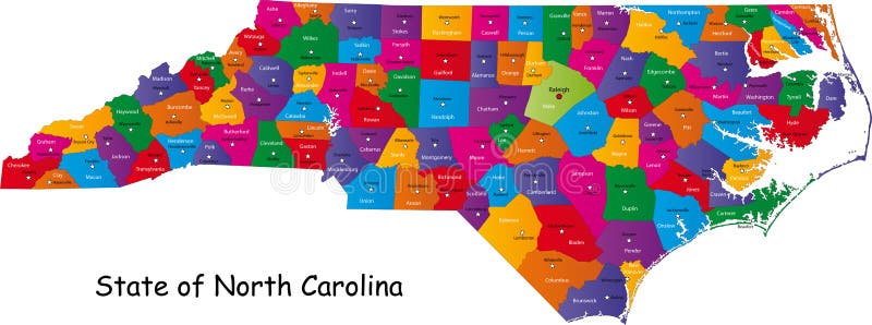
Free with trial North Carolina map. Colorful illustrated design of the map of North Carolina (USA), including counties and county seats. Isolated against a white background. North vectors North Carolina map. Colorful illustrated design of the map of North Carolina (USA), including counties and county seats. Isolated against a white background
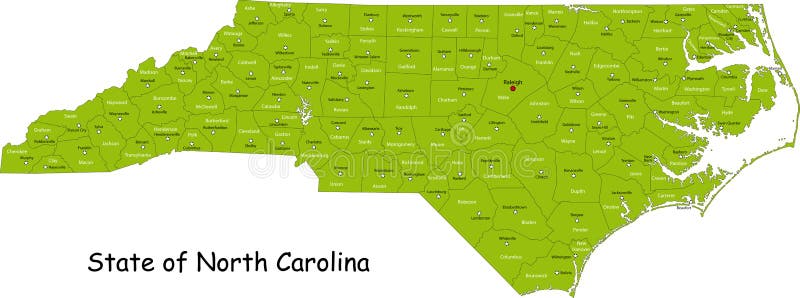
Free with trial Illustrated design of the map of North Carolina (USA), including counties and county seats. Isolated against a white background. North vectors State of North Carolina. Illustrated design of the map of North Carolina (USA), including counties and county seats. Isolated against a white background. Illustrated design of the map of North Carolina (USA), including counties and county seats. Isolated against a white background.
Free with trial A Pole North Map with latitude and longitude. North vectors North Map. A Pole North Map with latitude and longitude. A Pole North Map with latitude and longitude.
Free with trial Map of North America. North America map drawn on Adobe Illustrator. North vectors Map of North America. North America map drawn on Adobe Illustrator
Free with trial North carolina map by counties. Vector and high resolution north carolina map by counties. North vectors North carolina map by counties. Vector and high resolution north carolina map by counties
Free with trial Vector map of North and Central America Continent with Countries, Capitals, Main Cities and Seas and islands names in strong brilliant colors. North vectors Colorful Vector map of North and Central America. Vector map of North and Central America Continent with Countries, Capitals, Main Cities and Seas and islands. Vector map of North and Central America Continent with Countries, Capitals, Main Cities and Seas and islands names in strong brilliant colors.
Free with trial Vector compass icons. North south west and east. Wind rose icon, north arrow. Black and white symbols. Editable stroke. North vectors Vector compass icons. North south west and east. Wind rose icon, north arrow. Black and white symbols. Editable stroke.
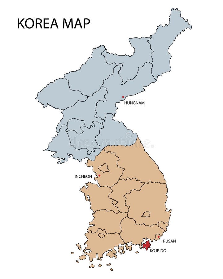
Free with trial Map of North and South Korea. Isolated on white background. Hungnam,Pusan,Incheon cities and Koge-do island are highlighted. EPS file available. North vectors Map of North and South Korea. Isolated on white background. Hungnam,Pusan,Incheon cities and Koge-do island are highlighted.EPS file available
Free with trial North Dakota, United States travel poster or luggage sticker. Scenic illustration of golden wheat fields withbirds and cirrus clouds overhead. North vectors North Dakota, United States travel poster. Or luggage sticker. Scenic illustration of golden wheat fields withbirds and cirrus clouds overhead
Free with trial North pole. Christmas illustration with a North Pole sign. North vectors North pole. Christmas illustration with a North Pole sign
Free with trial North pole landscape. Illustration of a North Pole sign in the woods. North vectors North pole landscape. Illustration of a North Pole sign in the woods
Free with trial North Brabant - province of the Netherlands. Administrative division of the Netherlands. Map of North Brabant with municipalities. North vectors North Brabant - province of the Netherlands. Administrative division of the Netherlands. Map of North Brabant with municipalities
Free with trial Top clothing brands logos. Set of most popular logo - NIKE, Adidas, Reebok, Puma, New Balance, Under Armour, The North Face, Jordan, Columbia, Converse, Vans, Asics and others. Editorial vector. North vectors Top clothing brands logos. Set of most popular logo - NIKE, Adidas, Reebok, Puma, New Balance, Under Armour, The North Face,Jordan. Top clothing brands logos. Top clothing brands logos. Set of most popular logo - NIKE, Adidas, Reebok, Puma, New Balance, Under Armour, The North Face, Jordan, Columbia, Converse, Vans, Asics and others. Editorial vector
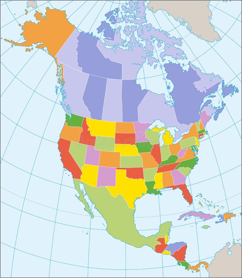
Free with trial Political map of North America with coordinates, present states borders, detailed vector map. North vectors North America political map. Political map of North America with coordinates, present states borders, detailed vector map. Political map of North America with coordinates, present states borders, detailed vector map.
Free with trial Compass with north south east west. Vector. North vectors Compass with north south east west. Vector
Free with trial Vintage Christmas postmark stamp from Santa Claus at the North Pole. North vectors North Pole Santa Claus Letter Postmark. Vintage Christmas postmark stamp from Santa Claus at the North Pole. Vintage Christmas postmark stamp from Santa Claus at the North Pole.
Free with trial North Pole. A snow white winter scene at the North Pole - snowflakes in the sky and pine trees in the distance. North vectors North Pole. A snow white winter scene at the North Pole - snowflakes in the sky and pine trees in the distance
Free with trial Dear santa claus mail envelope. Christmas surprise letter, child postcard with north pole postmark cachet. Postage surprised correspondence envelope, letters blank vector illustration. North vectors Dear santa claus mail envelope. Christmas surprise letter, child postcard with north pole postmark cachet vector. Dear santa claus mail envelope. Christmas. Dear santa claus mail envelope. Christmas surprise letter, child postcard with north pole postmark cachet. Postage surprised correspondence envelope, letters blank vector illustration
Free with trial North Pole sign. Christmas theme. North Pole sign with copy space. North vectors North Pole sign. Christmas theme. North Pole sign with copy space
Free with trial Set of 3D images of the State of North Carolina with icons. North vectors North Carolina 3D. Set of 3D images of the State of North Carolina with icons. Set of 3D images of the State of North Carolina with icons.
Free with trial Retro style travel poster or sticker. North Carolina. United States, North Carolina, Great Smoky Mountains, Sunrise. North vectors Retro style travel poster or sticker. North Carolina. United States, North Carolina, Great Smoky Mountains, Sunrise
Free with trial Montana, North Dakota, South Dakota, United States illustrations with state attractions. North vectors Montana, North Dakota, South Dakota, United States retro designs. Montana, North Dakota, South Dakota, United States illustrations with state attractions. Montana, North Dakota, South Dakota, United States illustrations with state attractions.
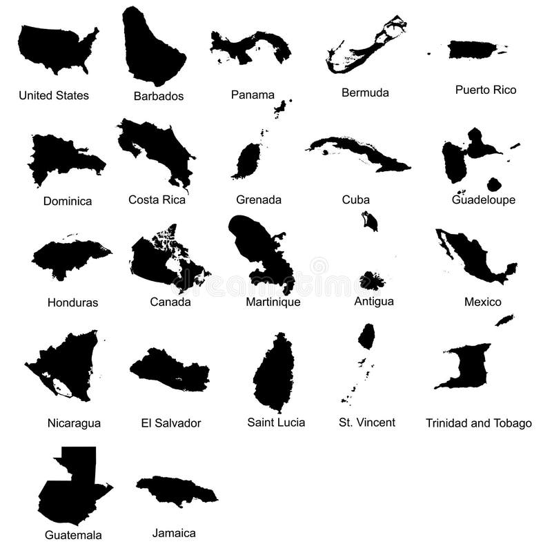
Free with trial Layered editable vector illustration silhouette country map of 22 north american countries. North vectors Layered editable vector illustration silhouette country map of 22 north american countries.
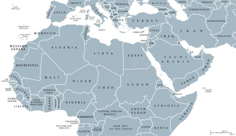
Free with trial North Africa and Middle East political map with countries and borders. English labeling. Maghreb, Mediterranean, West and Central Asian countries. Gray illustration on white background. Vector. North vectors North Africa and Middle East political map. With countries and borders. English labeling. Maghreb, Mediterranean, West and Central Asian countries. Gray. North Africa and Middle East political map with countries and borders. English labeling. Maghreb, Mediterranean, West and Central Asian countries. Gray illustration on white background. Vector.
Free with trial Political map of North America. In vector format. North vectors Political map of North America. In vector format
Free with trial A sign of North pole with happy Christmas Santa while snowing. Vector cartoon illustration. North vectors Happy Christmas Santa with North pole sign. A sign of North pole with happy Christmas Santa while snowing. Vector cartoon illustration. A sign of North pole with happy Christmas Santa while snowing. Vector cartoon illustration.
Free with trial Retro nautical compass. Vintage rose of wind for sea world map navigation marine windrose icons. West and east or south and north arrows old travel antique equipment symbol isolated vector set. North vectors Retro nautical compass. Vintage rose of wind for sea world map. West and east or south and north arrows symbol isolated. Retro nautical compass. Vintage rose of. Retro nautical compass. Vintage rose of wind for sea world map navigation marine windrose icons. West and east or south and north arrows old travel antique equipment symbol isolated vector set
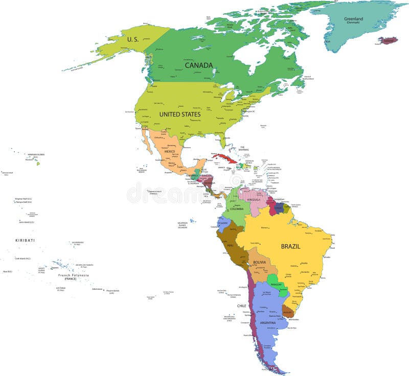
Free with trial Map of south and north america with countries, capitals and major cities. North vectors Map of south and north america with countries. Capitals and major cities
Free with trial North direction compass icon. Vector illustration. North vectors North direction compass icon. Vector illustration
Free with trial State of North Carolina Icons. North Carolina Icons in Red, White and Blue. North vectors State of North Carolina Icons. North Carolina Icons in Red, White and Blue
Free with trial Earth Magnetic Field scientific vector illustration diagram with south, north poles, earth rotation axis and inner core convection currents. Earth cross section inner layers - crust, mantle and core. North vectors Earth Magnetic Field scientific vector illustration diagram - south, north poles and rotation axis. Earth cross section layers. Earth Magnetic Field scientific. Earth Magnetic Field scientific vector illustration diagram with south, north poles, earth rotation axis and inner core convection currents. Earth cross section inner layers - crust, mantle and core.
Free with trial North Carolina simple logo. State map outline - smooth simplified US state shape map vector. North vectors North Carolina. Simple logo. State map outline - smooth simplified US state shape map vector
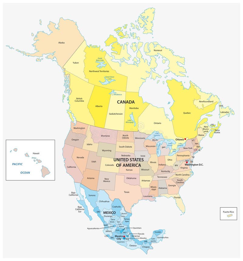
Free with trial Administrative and political vector map of the three North American states, Mexico, Canada and the United States of America. North vectors Administrative and political vector map of the three North American states, Mexico, Canada and the United States of America.
Free with trial Compass icon. Location symbol. West north south east indicator. Navigation element. EPS 10. North vectors Compass icon. Location symbol. West north south east indicator. Navigation element. EPS 10
Free with trial North America Map Vector illustration. North vectors North America Map. Vector illustration. North America Map Vector illustration. North America Map Vector illustration.
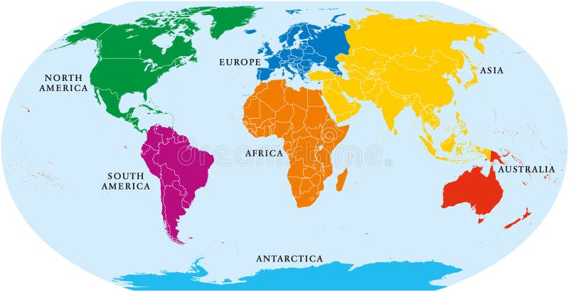
Free with trial Map of World. Political map divided to six continents - North America, South America, Africa, Europe, Asia and Australia. Vector illustration in shades of grey with country name labels. North vectors Map of World. Political map divided to six continents - North America, South America, Africa, Europe, Asia and Australia. Vector illustration in shades of grey
Free with trial Map of North Carolina. Detailed and accurate illustration of map of North Carolina. North vectors Map of North Carolina. Detailed and accurate illustration of map of North Carolina
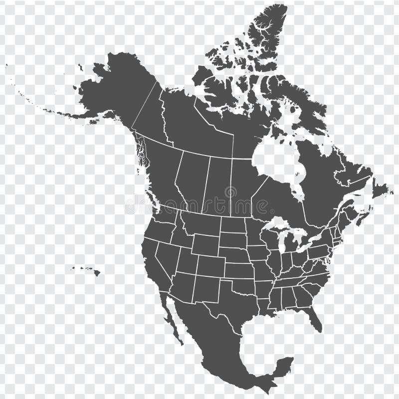
Free with trial Map of North America. Detailed map of North America with States of the USA and Provinces of Canada. Template. Stock vector. EPS10. North vectors Map of North America. Detailed map of North America with States of the USA and Provinces of Canada. Template. Stock vector. EPS10
Free with trial Planet Earth, globe vector linear picture. Outline. North and South America. Central America. The Atlantic Ocean and the Pacific O. Cean. For coloring. North vectors Planet Earth, globe vector linear picture. Outline. North and South America. Central America. The Atlantic Ocean and the Pacific O. Cean. For coloring
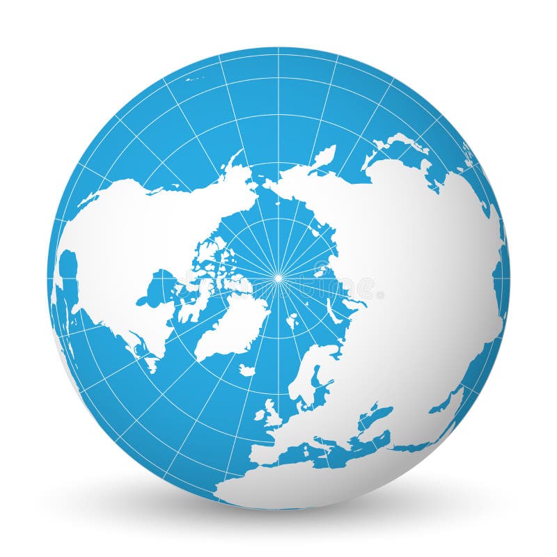
Free with trial Earth globe with green world map and blue seas and oceans focused on Arctic Ocean and North Pole. With thin white meridians and parallels. 3D vector illustration. North vectors Earth globe with white world map and blue seas and oceans focused on Arctic Ocean and North Pole. With thin white. Earth globe with green world map and blue seas. Earth globe with green world map and blue seas and oceans focused on Arctic Ocean and North Pole. With thin white meridians and parallels. 3D vector illustration.
Free with trial Flags of the World, North America. Illustration. North vectors Flags of the World, North America. Illustration
Free with trial North American flags. North American flag buttons - Canada, Quebec, USA and Mexico. North vectors North American flags. North American flag buttons - Canada, Quebec, USA and Mexico
Free with trial Vector map of North America. All states are separated, so they can be used individually. It also contains the U. S. A. flag. North vectors North America political map. Vector map of North America. All states are separated, so they can be used individually. It also contains the U.S.A. flag. Vector map of North America. All states are separated, so they can be used individually. It also contains the U.S.A. flag.
Free with trial Detailed North American flags. And map manually traced from public domain data. EPS file available. North vectors Detailed North American flags. And map manually traced from public domain data. EPS file available
Free with trial Vector illustration of world flags. North America. North vectors World flags. North America. Vector illustration of world flags. North America. Vector illustration of world flags. North America.
Free with trial Map pointers with flags illustration. North America. North vectors Map pointers with flags. North America. Map pointers with flags illustration. North America. Map pointers with flags illustration. North America.
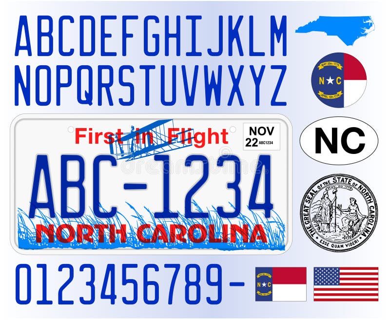
Free with trial North Carolina car license plate pattern, USA. North Carolina car license plate pattern, letters, numbers and symbols, vector illustration, USA. North vectors North Carolina car license plate pattern, USA. North Carolina car license plate pattern, letters, numbers and symbols, vector illustration, USA
Free with trial North America map. Vector illustration. North vectors North America map. Vector illustration
Free with trial Ireland flag - island country in the North Atlantic. Vector file of Ireland flag - island country in the North Atlantic. North vectors Ireland flag - island country in the North Atlantic. Vector file of Ireland flag - island country in the North Atlantic
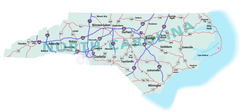
Free with trial North Carolina state road map with Interstates, U. S. Highways and state roads. All elements on separate layers (Fill, Roads, Cities, Outline) for easy editing. Map created December 3, 2009. ZIP File contains EPS-8 Adobe Illustrator file, Illustrator CS3 file, and large JPG file, 6806x3120. Source: Public domain National Planning Network ( and United States. North vectors North Carolina State Interstate Map. North Carolina state road map with Interstates, U.S. Highways and state roads. All elements on separate layers (Fill. North Carolina state road map with Interstates, U.S. Highways and state roads. All elements on separate layers (Fill, Roads, Cities, Outline) for easy editing. Map created December 3, 2009. ZIP File contains EPS-8 Adobe Illustrator file, Illustrator CS3 file, and large JPG file, 6806x3120. Source: Public domain National Planning Network ( and United States
Free with trial Compass. Golden compass illustration with north south east west. North vectors Compass. Golden compass illustration with north south east west
Free with trial Detailed Physical World Map with all names of countries, cities and capitals, river, lake, oceans, seas, islands, South Pole and North Pole. North vectors World Map Detailed Physical Map. Detailed Physical World Map with all names of countries, cities and capitals, river, lake, oceans, seas, islands, South Pole and. Detailed Physical World Map with all names of countries, cities and capitals, river, lake, oceans, seas, islands, South Pole and North Pole
Free with trial Globe. Turned the North America. Black and white vector illustration. North vectors Globe. Turned the North America. Black and white vector illustration
Free with trial Hand drawn sketch of Bison / Buffalo. North vectors North American Bison or Buffalo. Hand drawn sketch of Bison / Buffalo. Hand drawn sketch of Bison / Buffalo.
Free with trial Bison. The American bison and the European wisent are the largest terrestrial animals in North America and Europe. North vectors Bison. The American bison and the European wisent are the largest terrestrial animals in North America and Europe
Free with trial Compass. Illustration with north south east west. North vectors Compass. Illustration with north south east west
Free with trial Brown bear, wild animal, Lives in the woods of the northern Eurasia, North America and in the zoo, image. North vectors Brown bear. Wild animal, Lives in the woods of the northern Eurasia, North America and in the zoo, image
Free with trial Blue vector globe. North America. North vectors Vector globe. Blue vector globe. North America. Blue vector globe. North America.
Free with trial Simple nativity done in a single rough line on a red background with a glowing north star. Vector format available. North vectors Nativity on Red with Glowing Star. Simple nativity done in a single rough line on a red background with a glowing north star. Vector format available. Simple nativity done in a single rough line on a red background with a glowing north star. Vector format available.
Free with trial Luggage stickers Tennessee, South Carolina, North Carolina. Illustrations of south eastern united states. North vectors Luggage stickers Tennessee, South Carolina, North Carolina. Illustrations of south eastern united states
Free with trial World globe. Isolated in vectors North America. North vectors World globe. Isolated in vectors North America
Free with trial Seven continents world map. Asia, Africa, North and South America, Antarctica, Europe and Australia. Detailed map with shorelines and national borders under Robinson projection on white background. North vectors Seven Continents World Map. Asia, Africa, North and South America, Antarctica, Europe and Australia. Detailed map with shorelines and national borders under
Free with trial Vector image of a moose in the north in the winter forest. North vectors Siberian moose in winter forest. Vector image of a moose in the north in the winter forest. Vector image of a moose in the north in the winter forest.
Free with trial Globe. Hand drawn globe with Africa, Europe, Asia and North America. North vectors Globe. Hand drawn globe with Africa, Europe, Asia and North America
Free with trial High-resolution realistic 3D render of planet Earth showing North and South America, detailed oceans, and atmospheric glow isolated on a clean white background. Ideal for global business strategy presentations, environmental sustainability campaigns, geography education, international logistics, and technology marketing banners. North vectors Realistic Planet Earth Isolated on White Background, Americas Globe Graphic with Copy Space. High-resolution realistic 3D render of planet Earth showing North. High-resolution realistic 3D render of planet Earth showing North and South America, detailed oceans, and atmospheric glow isolated on a clean white background. Ideal for global business strategy presentations, environmental sustainability campaigns, geography education, international logistics, and technology marketing banners.
Free with trial Region of lands around the Mediterranean Sea. South Europe, North Africa and Near East with capitals, national borders, rivers and lakes. English labeling and scaling. Illustration. North vectors Mediterranean Sea Region Political Map. Region of lands around the Mediterranean Sea. South Europe, North Africa and Near East with capitals, national borders. Region of lands around the Mediterranean Sea. South Europe, North Africa and Near East with capitals, national borders, rivers and lakes. English labeling and scaling. Illustration.
Free with trial America. The continent of North America. North vectors America. The continent of North America
Free with trial Compass. With North South East West, the kind you would find on a map. North vectors Compass. With North South East West, the kind you would find on a map
Free with trial Magnetic field of a current-carrying coil. Electromagnetic coil, conductor, made of a copper wire spiral. In the helix the field lines are parallel and directed from north to south pole. Illustration. North vectors Magnetic field of a current-carrying coil. Electromagnetic coil, conductor, made of a copper wire spiral. In the helix the field lines are parallel and
Free with trial North Star. A great background for actors, dreamers, a newborn, or Christmas. The North Light vector in in easy edit layers and AI-EPS8 format. North vectors North Star. A great background for actors, dreamers, a newborn, or Christmas. The North Light vector in in easy edit layers and AI-EPS8 format
Free with trial Illustrated pictorial map of Midwest United States. Includes North and South Dakota, Nebraska, Minnesota, Iowa and Wisconsin. Vector Illustration. North vectors Illustrated pictorial map of Midwest United States. Includes North and South Dakota, Nebraska, Minnesota, Iowa and Wisconsin. Vector Illustration
Free with trial Cute forest animals. Cute north forest animals. Illustration of rabbit, bear, hedgehog, bird, snail, fox and owl in cartoon style. Cute flowers and hearts. North vectors Cute forest animals. Cute north forest animals. Illustration of rabbit, bear, hedgehog, bird, snail, fox and owl in cartoon style. Cute flowers and hearts
 Sign in