Free with trial Virginia County Map. Colorful County Map With Counties Names of the US Federal State of Virginia. Parishes vectors Virginia County Map. Colorful County Map With Counties Names of the US Federal State of Virginia
Free with trial Colorado Relief Map. Topographic Relief Peaks and Valleys Map of US Federal State of Colorado. Parishes vectors Colorado Relief Map. Topographic Relief Peaks and Valleys Map of US Federal State of Colorado
Free with trial Pennsylvania County Map. Colorful County Map With Counties Names of the US Federal State of Pennsylvania. Parishes vectors Pennsylvania County Map. Colorful County Map With Counties Names of the US Federal State of Pennsylvania
Free with trial Bermuda map. Administrative division of The Islands of Bermuda. Parishes vectors Bermuda map. Administrative division of The Islands of Bermuda
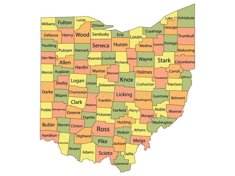
Free with trial Ohio County Map. Colorful County Map With Counties Names of the US Federal State of Ohio. Parishes vectors Ohio County Map. Colorful County Map With Counties Names of the US Federal State of Ohio
Free with trial Minnesota County Map. Colorful County Map With Counties Names of the US Federal State of Minnesota. Parishes vectors Minnesota County Map. Colorful County Map With Counties Names of the US Federal State of Minnesota
Free with trial Washington Relief Map. Topographic Relief Peaks and Valleys Map of US Federal State of Washington. Parishes vectors Washington Relief Map. Topographic Relief Peaks and Valleys Map of US Federal State of Washington
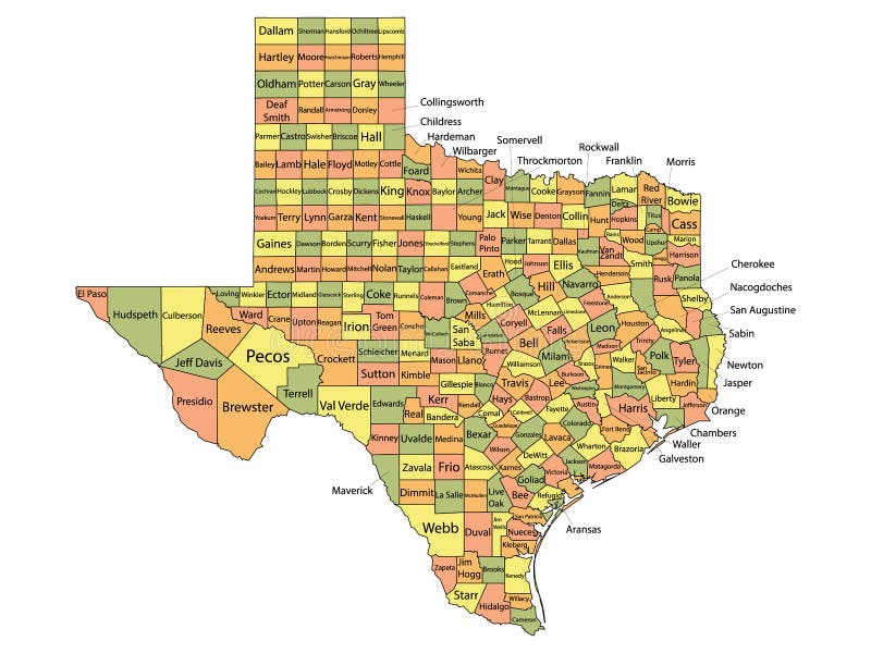
Free with trial Texas County Map. Colorful County Map With Counties Names of the US Federal State of Texas. Parishes vectors Texas County Map. Colorful County Map With Counties Names of the US Federal State of Texas
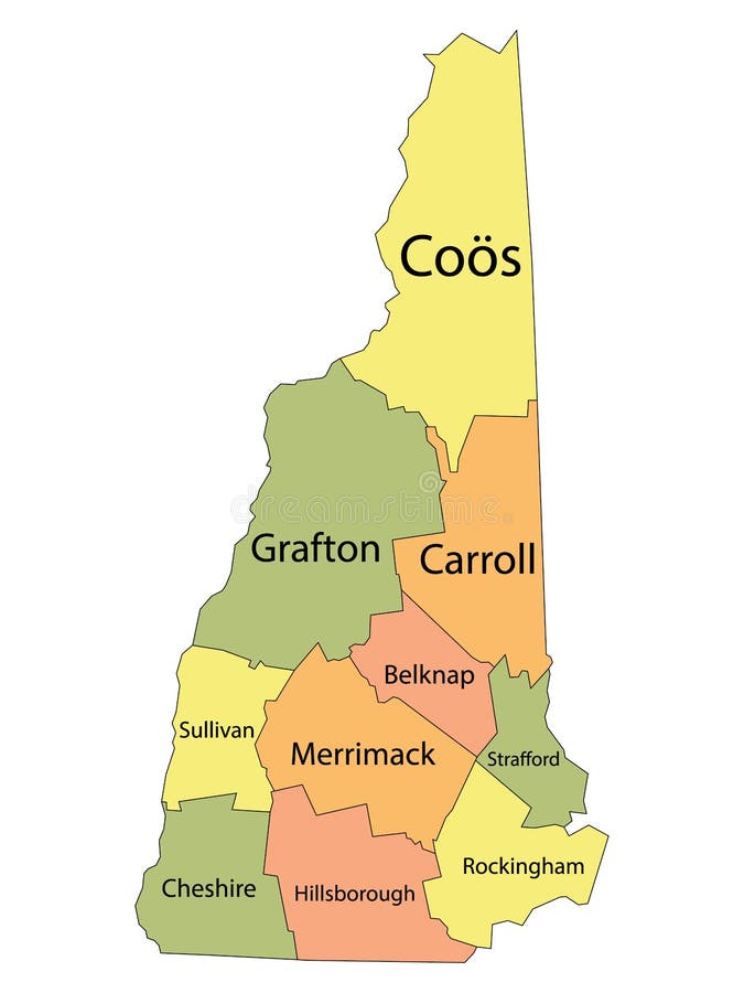
Free with trial New Hampshire County Map. Colorful County Map With Counties Names of the US Federal State of New Hampshire. Parishes vectors New Hampshire County Map. Colorful County Map With Counties Names of the US Federal State of New Hampshire
Free with trial Oregon County Map. Colorful County Map With Counties Names of the US Federal State of Oregon. Parishes vectors Oregon County Map. Colorful County Map With Counties Names of the US Federal State of Oregon
Free with trial Alabama County Map. Colorful County Map With Counties Names of the US Federal State of Alabama. Parishes vectors Alabama County Map. Colorful County Map With Counties Names of the US Federal State of Alabama
Free with trial New York County Map. Colorful County Map With Counties Names of the US Federal State of New York. Parishes vectors New York County Map. Colorful County Map With Counties Names of the US Federal State of New York
Free with trial Washington County Map. Colorful County Map With Counties Names of the US Federal State of Washington. Parishes vectors Washington County Map. Colorful County Map With Counties Names of the US Federal State of Washington
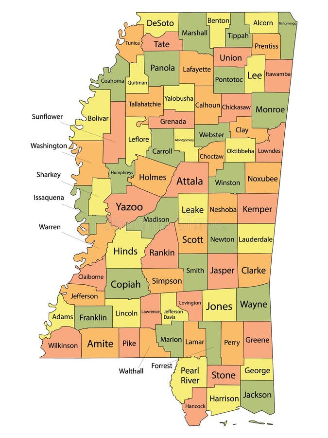
Free with trial Mississippi County Map. Colorful County Map With Counties Names of the US Federal State of Mississippi. Parishes vectors Mississippi County Map. Colorful County Map With Counties Names of the US Federal State of Mississippi
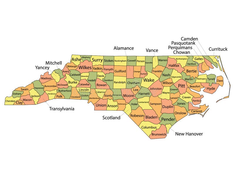
Free with trial North Carolina County Map. Colorful County Map With Counties Names of the US Federal State of North Carolina. Parishes vectors North Carolina County Map. Colorful County Map With Counties Names of the US Federal State of North Carolina
Free with trial Coat of arms of Saint Kitts and Nevis. Official current vector coat of arms of federal parliamentary constitutional monarchy of Saint Kitts and Nevis. Parishes vectors Coat of arms of Saint Kitts and Nevis. Official current vector coat of arms of federal parliamentary constitutional monarchy of Saint Kitts and Nevis
Free with trial Louisiana Parish Map. Colorful Parish Map With Parishes Names of the US Federal State of Louisiana. Parishes vectors Louisiana Parish Map. Colorful Parish Map With Parishes Names of the US Federal State of Louisiana
Free with trial Map with the political division of the QUITO METROPOLITAN DISTRICT includes the urban and rural parishes on a blue background. Vector image. Parishes vectors Map with the political division of the QUITO METROPOLITAN DISTRICT includes the urban and rural parishes on a blue background. Vector image
Free with trial Dominica map - cdr format. Dominica map with parishes main cities and flag. Parishes vectors Dominica map - cdr format. Dominica map with parishes main cities and flag
Free with trial White map of Saint Kitts and Nevis. White vector map of Saint Kitts and Nevis with black borders and names of it`s parishes. Parishes vectors White map of Saint Kitts and Nevis. White vector map of Saint Kitts and Nevis with black borders and names of it`s parishes
Free with trial Louisiana's parishes map and congressional districts since 2023 map. Skylines of Baton Rouge (state's capital), New Orleans and Shreveport. Vector set. Parishes vectors Louisiana\'s parishes map and congressional districts since 2023 map. Skylines of Baton Rouge, New Orleans and Shreveport. Louisiana's parishes map and. Louisiana's parishes map and congressional districts since 2023 map. Skylines of Baton Rouge (state's capital), New Orleans and Shreveport. Vector set
Free with trial Bermuda is a British Overseas Territory in the North Atlantic Ocean, located off the east coast of North America. Parishes vectors The Bermudas or Somers Isles. Bermuda is a British Overseas Territory in the North Atlantic Ocean, located off the east coast of North America. Bermuda is a British Overseas Territory in the North Atlantic Ocean, located off the east coast of North America.
Free with trial Blue Mississippi Relief Map. Blue Smooth Topographic Relief Peaks and Valleys Map of US Federal State of Mississippi. Parishes vectors Blue Mississippi Relief Map. Blue Smooth Topographic Relief Peaks and Valleys Map of US Federal State of Mississippi
Free with trial Colorado County Map. Colorful County Map With Counties Names of the US Federal State of Colorado. Parishes vectors Colorado County Map. Colorful County Map With Counties Names of the US Federal State of Colorado
Free with trial Arizona Relief Map. Topographic Relief Peaks and Valleys Map of US Federal State of Arizona. Parishes vectors Arizona Relief Map. Topographic Relief Peaks and Valleys Map of US Federal State of Arizona
Free with trial Wisconsin County Map. Colorful County Map With Counties Names of the US Federal State of Wisconsin. Parishes vectors Wisconsin County Map. Colorful County Map With Counties Names of the US Federal State of Wisconsin
Free with trial Rhode Island County Map. Colorful County Map With Counties Names of the US Federal State of Rhode Island. Parishes vectors Rhode Island County Map. Colorful County Map With Counties Names of the US Federal State of Rhode Island
Free with trial Montana Relief Map. Topographic Relief Peaks and Valleys Map of US Federal State of Montana. Parishes vectors Montana Relief Map. Topographic Relief Peaks and Valleys Map of US Federal State of Montana
Free with trial Terrebonne outline map. Terrebonne Parish (Louisiana) blank outline map. Parishes vectors Terrebonne outline map. Terrebonne Parish (Louisiana) blank outline map. Terrebonne Parish (Louisiana) blank outline map
Free with trial Arizona County Map. Colorful County Map With Counties Names of the US Federal State of Arizona. Parishes vectors Arizona County Map. Colorful County Map With Counties Names of the US Federal State of Arizona
Free with trial Missouri County Map. Colorful County Map With Counties Names of the US Federal State of Missouri. Parishes vectors Missouri County Map. Colorful County Map With Counties Names of the US Federal State of Missouri
Free with trial Regions of Italy. Labeled Colorful Regions Map of European Country of Italy. Parishes vectors Regions of Italy. Labeled Colorful Regions Map of European Country of Italy
Free with trial Nevada County Map. Colorful County Map With Counties Names of the US Federal State of Nevada. Parishes vectors Nevada County Map. Colorful County Map With Counties Names of the US Federal State of Nevada
Free with trial Tennessee County Map. Colorful County Map With Counties Names of the US Federal State of Tennessee. Parishes vectors Tennessee County Map. Colorful County Map With Counties Names of the US Federal State of Tennessee
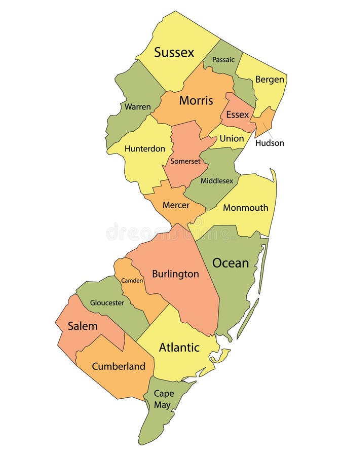
Free with trial New Jersey County Map. Colorful County Map With Counties Names of the US Federal State of New Jersey. Parishes vectors New Jersey County Map. Colorful County Map With Counties Names of the US Federal State of New Jersey
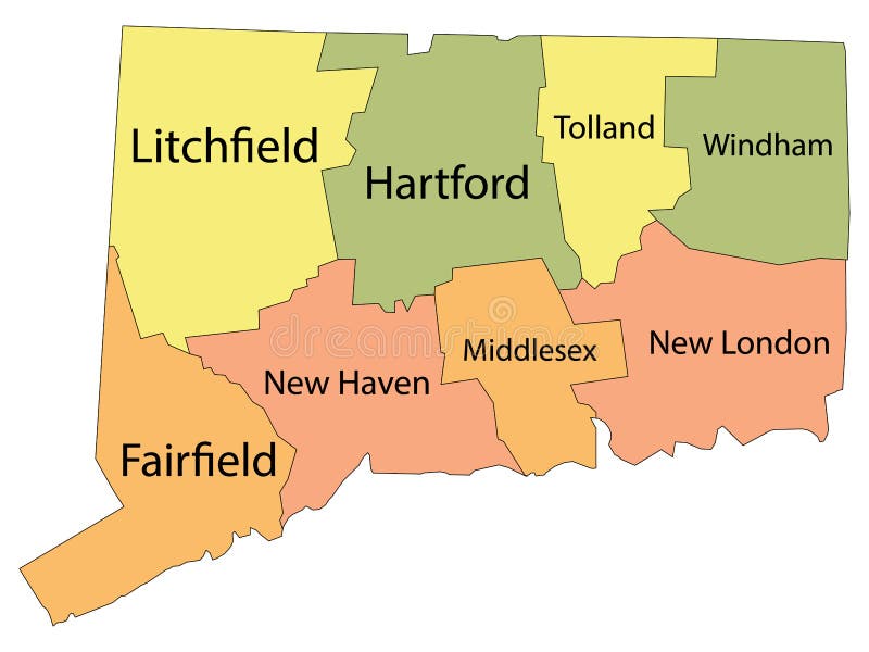
Free with trial Connecticut County Map. Colorful County Map With Counties Names of the US Federal State of Connecticut. Parishes vectors Connecticut County Map. Colorful County Map With Counties Names of the US Federal State of Connecticut
Free with trial West Virginia County Map. Colorful County Map With Counties Names of the US Federal State of West Virginia. Parishes vectors West Virginia County Map. Colorful County Map With Counties Names of the US Federal State of West Virginia
Free with trial Blue New Jersey Relief Map. Blue Smooth Topographic Relief Peaks and Valleys Map of US Federal State of New Jersey. Parishes vectors Blue New Jersey Relief Map. Blue Smooth Topographic Relief Peaks and Valleys Map of US Federal State of New Jersey
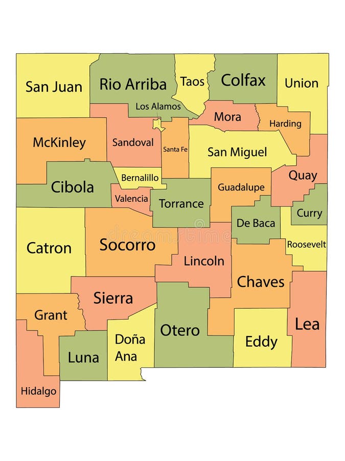
Free with trial New Mexico County Map. Colorful County Map With Counties Names of the US Federal State of New Mexico. Parishes vectors New Mexico County Map. Colorful County Map With Counties Names of the US Federal State of New Mexico
Free with trial California County Map. Colorful County Map With Counties Names of the US Federal State of California. Parishes vectors California County Map. Colorful County Map With Counties Names of the US Federal State of California
Free with trial Blue Maine Relief Map. Blue Smooth Topographic Relief Peaks and Valleys Map of US Federal State of Maine. Parishes vectors Blue Maine Relief Map. Blue Smooth Topographic Relief Peaks and Valleys Map of US Federal State of Maine
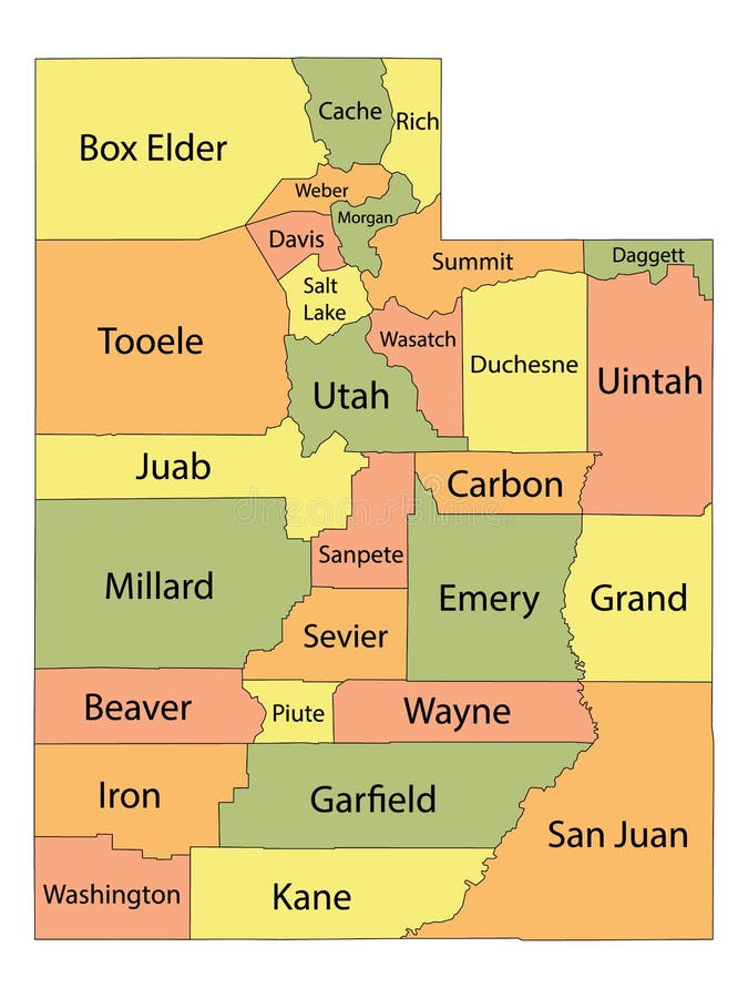
Free with trial Utah County Map. Colorful County Map With Counties Names of the US Federal State of Utah. Parishes vectors Utah County Map. Colorful County Map With Counties Names of the US Federal State of Utah
Free with trial Alaska County Map. Colorful County Map With Counties Names of the US Federal State of Alaska. Parishes vectors Alaska County Map. Colorful County Map With Counties Names of the US Federal State of Alaska
Free with trial Vermont County Map. Colorful County Map With Counties Names of the US Federal State of Vermont. Parishes vectors Vermont County Map. Colorful County Map With Counties Names of the US Federal State of Vermont
Free with trial Wyoming County Map. Colorful County Map With Counties Names of the US Federal State of Wyoming. Parishes vectors Wyoming County Map. Colorful County Map With Counties Names of the US Federal State of Wyoming
Free with trial Montana County Map. Colorful County Map With Counties Names of the US Federal State of Montana. Parishes vectors Montana County Map. Colorful County Map With Counties Names of the US Federal State of Montana
Free with trial Arkansas County Map. Colorful County Map With Counties Names of the US Federal State of Arkansas. Parishes vectors Arkansas County Map. Colorful County Map With Counties Names of the US Federal State of Arkansas
Free with trial Michigan Relief Map. Topographic Relief Peaks and Valleys Map of US Federal State of Michigan. Parishes vectors Michigan Relief Map. Topographic Relief Peaks and Valleys Map of US Federal State of Michigan
Free with trial Nebraska County Map. Colorful County Map With Counties Names of the US Federal State of Nebraska. Parishes vectors Nebraska County Map. Colorful County Map With Counties Names of the US Federal State of Nebraska
Free with trial Oklahoma County Map. Colorful County Map With Counties Names of the US Federal State of Oklahoma. Parishes vectors Oklahoma County Map. Colorful County Map With Counties Names of the US Federal State of Oklahoma
Free with trial California Relief Map. Topographic Relief Peaks and Valleys Map of US Federal State of California. Parishes vectors California Relief Map. Topographic Relief Peaks and Valleys Map of US Federal State of California
Free with trial Blue Hawaii Relief Map. Blue Smooth Topographic Relief Peaks and Valleys Map of US Federal State of Hawaii. Parishes vectors Blue Hawaii Relief Map. Blue Smooth Topographic Relief Peaks and Valleys Map of US Federal State of Hawaii
Free with trial South Dakota County Map. Colorful County Map With Counties Names of the US Federal State of South Dakota. Parishes vectors South Dakota County Map. Colorful County Map With Counties Names of the US Federal State of South Dakota
Free with trial North Dakota County Map. Colorful County Map With Counties Names of the US Federal State of North Dakota. Parishes vectors North Dakota County Map. Colorful County Map With Counties Names of the US Federal State of North Dakota
Free with trial Blue Colorado Relief Map. Blue Smooth Topographic Relief Peaks and Valleys Map of US Federal State of Colorado. Parishes vectors Blue Colorado Relief Map. Blue Smooth Topographic Relief Peaks and Valleys Map of US Federal State of Colorado
Free with trial West Virginia Relief Map. Topographic Relief Peaks and Valleys Map of US Federal State of West Virginia. Parishes vectors West Virginia Relief Map. Topographic Relief Peaks and Valleys Map of US Federal State of West Virginia
Free with trial South Carolina County Map. Colorful County Map With Counties Names of the US Federal State of South Carolina. Parishes vectors South Carolina County Map. Colorful County Map With Counties Names of the US Federal State of South Carolina
Free with trial South Dakota Relief Map. Topographic Relief Peaks and Valleys Map of US Federal State of South Dakota. Parishes vectors South Dakota Relief Map. Topographic Relief Peaks and Valleys Map of US Federal State of South Dakota
Free with trial Blue West Virginia Relief Map. Blue Smooth Topographic Relief Peaks and Valleys Map of US Federal State of West Virginia. Parishes vectors Blue West Virginia Relief Map. Blue Smooth Topographic Relief Peaks and Valleys Map of US Federal State of West Virginia
Free with trial Alaska Relief Map. Topographic Relief Peaks and Valleys Map of US Federal State of Alaska. Parishes vectors Alaska Relief Map. Topographic Relief Peaks and Valleys Map of US Federal State of Alaska
Free with trial Utah Relief Map. Topographic Relief Peaks and Valleys Map of US Federal State of Utah. Parishes vectors Utah Relief Map. Topographic Relief Peaks and Valleys Map of US Federal State of Utah
Free with trial Blue Minnesota Relief Map. Blue Smooth Topographic Relief Peaks and Valleys Map of US Federal State of Minnesota. Parishes vectors Blue Minnesota Relief Map. Blue Smooth Topographic Relief Peaks and Valleys Map of US Federal State of Minnesota
Free with trial US Louisiana parish map. US Louisiana map with 64 parishes’ Names and Boundaries. Parishes vectors US Louisiana parish map. US Louisiana map with 64 parishes’ Names and Boundaries
Free with trial Oregon Relief Map. Topographic Relief Peaks and Valleys Map of US Federal State of Oregon. Parishes vectors Oregon Relief Map. Topographic Relief Peaks and Valleys Map of US Federal State of Oregon
Free with trial Blue New Mexico Relief Map. Blue Smooth Topographic Relief Peaks and Valleys Map of US Federal State of New Mexico. Parishes vectors Blue New Mexico Relief Map. Blue Smooth Topographic Relief Peaks and Valleys Map of US Federal State of New Mexico
Free with trial Arkansas Relief Map. Topographic Relief Peaks and Valleys Map of US Federal State of Arkansas. Parishes vectors Arkansas Relief Map. Topographic Relief Peaks and Valleys Map of US Federal State of Arkansas
Free with trial Blue Oregon Relief Map. Blue Smooth Topographic Relief Peaks and Valleys Map of US Federal State of Oregon. Parishes vectors Blue Oregon Relief Map. Blue Smooth Topographic Relief Peaks and Valleys Map of US Federal State of Oregon
Free with trial Blue Tennessee Relief Map. Blue Smooth Topographic Relief Peaks and Valleys Map of US Federal State of Tennessee. Parishes vectors Blue Tennessee Relief Map. Blue Smooth Topographic Relief Peaks and Valleys Map of US Federal State of Tennessee
Free with trial Antigua and Barbuda set. Detailed country shape with region borders, flags and icons isolated on white background. Parishes vectors Antigua and Barbuda set. Detailed country shape with region borders, flags and icons isolated on white background
Free with trial Coat of arms of Grenada. Official current vector coat of arms of unitary two-party parliamentary constitutional monarchy of Grenada. Parishes vectors Coat of arms of Grenada. Official current vector coat of arms of unitary two-party parliamentary constitutional monarchy of Grenada
Free with trial Flag map of Jamaica. Flag of Jamaica cropped inside it`s map. Parishes vectors Flag map of Jamaica. Flag of Jamaica cropped inside it`s map
Free with trial Topographic map of Jamaica. With black contour lines. Parishes vectors Topographic map of Jamaica. With black contour lines
Free with trial Topographic map of Grenada. With black contour lines. Parishes vectors Topographic map of Grenada. With black contour lines
Free with trial Topographic map of Antigua and Barbuda. With black contour lines. Parishes vectors Topographic map of Antigua and Barbuda. With black contour lines
Free with trial Coat of arms of Jamaica. Official current vector coat of arms of unitary parliamentary constitutional monarchy of Jamaica. Parishes vectors Coat of arms of Jamaica. Official current vector coat of arms of unitary parliamentary constitutional monarchy of Jamaica
Free with trial State of Louisiana, subdivided into 64 parishes, outline map. State in the Deep South and South Central regions of the United States, nicknamed Pelican State. Parishes correspond to counties. Vector. Parishes vectors State of Louisiana, subdivided into 64 parishes, outline map. State in the Deep South and South Central regions of the United States, nicknamed Pelican State
Free with trial Louisiana, U. S. state, gray political map with borders and parish names. State in the Deep South and South Central regions of the United States, subdivided into 64 parishes. Nicknamed Pelican State. Parishes vectors Louisiana, U.S. state, subdivided into 64 parishes, gray political map. Louisiana, U.S. state, gray political map with borders and parish names. State in the. Louisiana, U.S. state, gray political map with borders and parish names. State in the Deep South and South Central regions of the United States, subdivided into 64 parishes. Nicknamed Pelican State.
Free with trial Louisiana, U. S. state, subdivided into 64 parishes, multi colored political map with capital Baton Rouge, borders and parish names. State in Deep South and South Central regions of the United States. Parishes vectors Louisiana, U.S. state, subdivided into 64 parishes, multi colored map. Louisiana, U.S. state, subdivided into 64 parishes, multi colored political map with. Louisiana, U.S. state, subdivided into 64 parishes, multi colored political map with capital Baton Rouge, borders and parish names. State in Deep South and South Central regions of the United States.
Free with trial Parishes of Jersey glitch flag vector, RGB split distortion, digital abstract video frame illustration. Parishes vectors Parishes of Jersey Glitch Flag Vector - RGB Split Digital Video Frame Design. Parishes of Jersey glitch flag vector, RGB split distortion, digital abstract video. Parishes of Jersey glitch flag vector, RGB split distortion, digital abstract video frame illustration
Free with trial Parishes of Jersey comet flag, grunge brush vector. Parishes vectors Parishes of Jersey comet flag, grunge brush vector. Parishes of Jersey comet flag fly, grunge brush vector
 Sign in