Free with trial Hi Detail Black Vector Political World Map illustration. High Detail Vector Political World Map illustration, cleverly organized with layers. Positioning vectors Hi Detail Black Vector Political World Map illustration. High Detail Vector Political World Map illustration, cleverly organized with layers
Free with trial Map with a pin. Isolated on white. Positioning vectors Map with a pin. Isolated on white
Free with trial Collection of GPS navigation and map icons and symbols, on white background. Eps file available. Positioning vectors GPS Navigation & Map Icons. Collection of GPS navigation and map icons and symbols, on white background. Eps file available. Collection of GPS navigation and map icons and symbols, on white background. Eps file available.
Free with trial Positioning in consumer customer mind marketing market strategy concept position human head mind chess vector. Positioning vectors Strategy target positioning in consumer customer mind marketing market concept position human head chess. Positioning in consumer customer mind marketing market. Positioning in consumer customer mind marketing market strategy concept position human head mind chess vector
Free with trial Dotted lines constitute the world map, GPS positioning constitute the world`s big data technology vector background, meaning globalization, internationalization, science and technology concept. Positioning vectors Dotted lines constitute the world map, GPS positioning constitute the world`s big data technology vector background, meaning globa. Lization. Dotted lines constitute the world map, GPS positioning constitute the world`s big data technology vector background, meaning globalization, internationalization, science and technology concept.
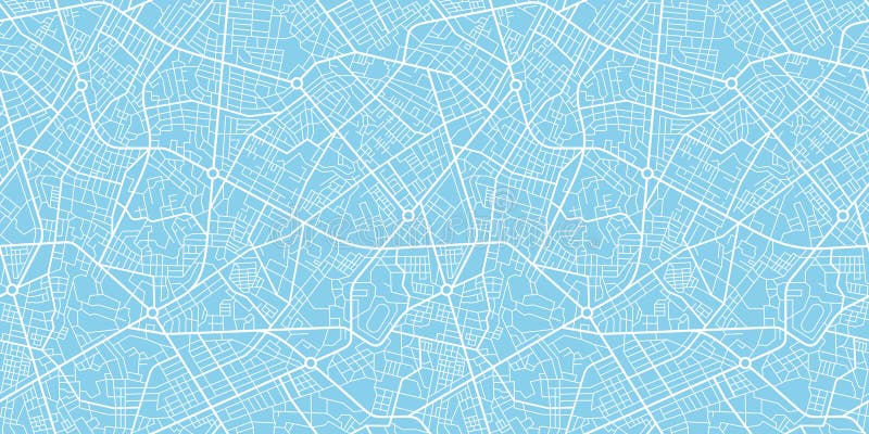
Free with trial Urban vector city map seamless texture. Urban vector blue city map seamless texture pattern. Positioning vectors Urban vector city map seamless texture. Urban vector blue city map seamless texture pattern
Free with trial Collection of eight colorful blank GPS navigation and map icons or symbols, on white background. Eps file available. Positioning vectors GPS and Navigation Blank Icons. Collection of eight colorful blank GPS navigation and map icons or symbols, on white background. Eps file available. Collection of eight colorful blank GPS navigation and map icons or symbols, on white background. Eps file available.
Free with trial A Pole North Map with latitude and longitude. Positioning vectors North Map. A Pole North Map with latitude and longitude. A Pole North Map with latitude and longitude.
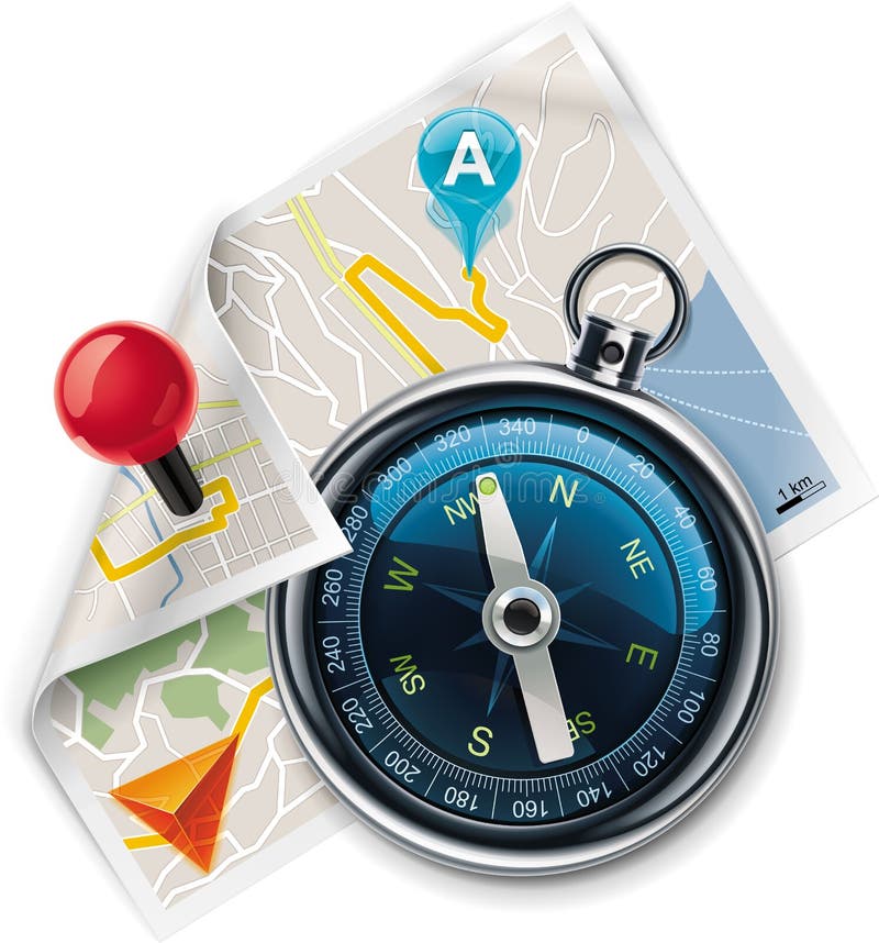
Free with trial Road Map and compass, computer illustration on a white background. Positioning vectors Road Map and compass. Computer illustration on a white background
Free with trial Illustration of marketing success design isolated on white background. Positioning vectors Marketing success. Illustration of marketing success design isolated on white background. Illustration of marketing success design isolated on white background.
Free with trial Customizable map location icon. Detailed square icon representing map with color markers. Positioning vectors Customizable map location icon. Detailed square icon representing map with color markers
Free with trial Map pins with icons. Map pins with different colored icons. Positioning vectors Map pins with icons. Map pins with different colored icons
Free with trial Red road map pin pointer with roadmap vector icon design. Pin pointer roadmap. Location pin illustration. GPS navigation locator, new roadmap pin. Positioning vectors Road map vector illustration, GPS navigation locator, new roadmap pin. Red road map pin pointer with roadmap vector icon design. Pin pointer roadmap. Location. Red road map pin pointer with roadmap vector icon design. Pin pointer roadmap. Location pin illustration . GPS navigation locator, new roadmap pin
Free with trial Generic GPS navigation device with map and path, isolated on white background. Eps file available. Positioning vectors Generic GPS Navigation Device. With map and path, isolated on white background. Eps file available
Free with trial Route Icons. Simple Set of Route Related Vector Icons for Your Design. Positioning vectors Route Icons. Simple Set of Route Related Vector Icons for Your Design
Free with trial Map with a pin. Isolated on white. Positioning vectors Map with a pin. Isolated on white
Free with trial Success Target, Dart on the target, Successful and focus concept. Positioning vectors Success Target. Dart on the target, Successful and focus concept
Free with trial Golden compass rose, isolated on white background. Vector illustration. Positioning vectors Golden compass rose. Isolated on white background. Vector illustration
Free with trial Vector map icon set. Detailed square icon representing map with markers. Positioning vectors Vector map icon set. Detailed square icon representing map with markers
Free with trial High detail illustration of navigation icons. Positioning vectors GPS Navigation Icons. High detail illustration of navigation icons. High detail illustration of navigation icons.
Free with trial Map markers and flat map icon. S. Positioning vectors Map markers and flat map icon. S
Free with trial Travel, car auto tourism and route planning concept: GPS satellite navigation application in modern black glossy smartphone or touchscreen mobile phone isolated on white background. Positioning vectors GPS navigation in smartphone. Travel, car auto tourism and route planning concept: GPS satellite navigation application in modern black glossy smartphone or. Travel, car auto tourism and route planning concept: GPS satellite navigation application in modern black glossy smartphone or touchscreen mobile phone isolated on white background
Free with trial Global cellular network background. Available AI-10 vector format separated by groups and layers for easy edit. Positioning vectors Vector cellular network theme. Global cellular network background. Available AI-10 vector format separated by groups and layers for easy edit. Global cellular network background. Available AI-10 vector format separated by groups and layers for easy edit.
Free with trial Modern flat design vector illustration concept of man holding smartphone with mobile gps navigation on a screen and route with check-in symbols. Isolated on red background. Positioning vectors Mobile GPS navigation flat illustration. Modern flat design vector illustration concept of man holding smartphone with mobile gps navigation on a screen and. Modern flat design vector illustration concept of man holding smartphone with mobile gps navigation on a screen and route with check-in symbols. Isolated on red background
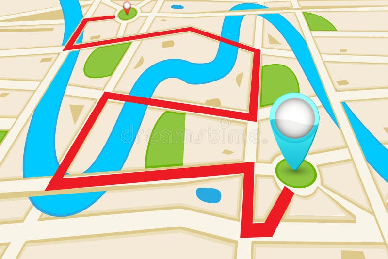
Free with trial Vector Infographic with a tortuous road separating blank space from a Perspective city map with red markers and rounded icons. Positioning vectors Vector Perspective city map infographic. Vector Infographic with a tortuous road separating blank space from a Perspective city map with red markers and rounded. Vector Infographic with a tortuous road separating blank space from a Perspective city map with red markers and rounded icons.
Free with trial Road Map. Easy to edit vector illustration of highlighted route in road map. Positioning vectors Road Map. Easy to edit vector illustration of highlighted route in road map
Free with trial Navigation, road, grass and blue sky. Positioning vectors Navigation. Road, grass and blue sky
Free with trial A Hand pointing to you. Positioning vectors Hand pointing. A Hand pointing to you. A Hand pointing to you.
Free with trial Location icons. Set of 12 location icons. Positioning vectors Location icons. Set of 12 location icons
Free with trial Success Target, Dart on the target, Successful and focus concept. Positioning vectors Success Target. Dart on the target, Successful and focus concept
Free with trial Success Target, Dart on the target, Successful and focus concept. Positioning vectors Success Target. Dart on the target, Successful and focus concept
Free with trial Vector pathway road map with route with location pin icon on the way track. Roadmap direction navigation map GPS infographic leaflet template design. Positioning vectors Vector pathway road map with GPS route pin icon. Vector pathway road map with route with location pin icon on the way track. Roadmap direction navigation map GPS. Vector pathway road map with route with location pin icon on the way track. Roadmap direction navigation map GPS infographic leaflet template design
Free with trial Vector navigation / route map XXL detailed icon. Extralarge icon - compass with map and navigation markers. Positioning vectors Vector navigation / route map XXL detailed icon. Extralarge icon - compass with map and navigation markers
Free with trial GPS Device Icon. Generic GPS Device icon with reflection. Positioning vectors GPS Device Icon. Generic GPS Device icon with reflection
Free with trial Vector city map. With typical locations and objects like roads, houses, river, gardens, parks, industrial zones, hospitals and government. Positioning vectors Vector city map. With typical locations and objects like roads, houses, river, gardens, parks, industrial zones, hospitals and government
Free with trial GPS Device Icon. Generic GPS Device icon with reflection. Positioning vectors GPS Device Icon. Generic GPS Device icon with reflection
Free with trial GPS Device Icon. Generic GPS Device icon with reflection. Positioning vectors GPS Device Icon. Generic GPS Device icon with reflection
Free with trial Flat 3d isometric mobile navigation illustration. Over blue background. Positioning vectors Flat 3d isometric mobile navigation illustration. Over blue background
Free with trial Happy St. Patrick`s Day isolated on a white background. Vector banner. Positioning vectors Happy St. Patrick`s Day isolated on a white background. Vector banner
Free with trial City map illustration. With location pins. Positioning vectors City map illustration. With location pins
Free with trial Conceptual piece. Business people building with blocks representing an organisation. No meshes used. Main image on separate layers for easy editing. Also includes several different colour versions. Positioning vectors Business Building Blocks. Conceptual piece. Business people building with blocks representing an organisation. No meshes used. Main image on separate layers for. Conceptual piece. Business people building with blocks representing an organisation. No meshes used. Main image on separate layers for easy editing. Also includes several different colour versions
Free with trial GPS and Navigation Icon Set. GPS and Navigation Icons on the white. Positioning vectors GPS and Navigation Icon Set. GPS and Navigation Icons on the white
Free with trial Map with a pin on white. Fully transparent. Any background can be used. Positioning vectors Vector map with pin pointer. Map with a pin on white. Fully transparent. Any background can be used. Map with a pin on white. Fully transparent. Any background can be used.
Free with trial Hand pointing (pop art style). A Hand pointing to you. It is pop art style. Positioning vectors Hand pointing (pop art style). A Hand pointing to you. It is pop art style
Free with trial Flat map mobile GPS navigation infographic 3d isometric concept. Tablet, phone, digital map paper route pin markers. Aerial transport plane land car van satellite antenna receiver signal transmitter. Positioning vectors Flat map mobile GPS navigation infographic 3d isometric concept. Tablet, phone, digital map paper route pin markers. Aerial transport plane land car van
Free with trial Vector Greyscale City Map pattern. A generic city map pattern of an imaginary location in shades of grey. Positioning vectors Vector Greyscale City Map pattern. A generic city map pattern of an imaginary location in shades of grey
Free with trial Vector GPS navigation icons. Part 1. Set of the detailed satellite navigation icons. Positioning vectors Vector GPS navigation icons. Part 1. Set of the detailed satellite navigation icons
Free with trial Gps red pin. Map marker or travel symbol vector icon on white background. With shadow. Positioning vectors Gps red pin. Map marker or travel symbol vector icon on white background. With shadow
Free with trial Latin America map technology composition. Vector image available. Positioning vectors Latin America map technology background. Latin America map technology composition. Vector image available. Latin America map technology composition. Vector image available.
Free with trial Road with GPS navigation. Car road, street, highway roadmap infographics – stock vector. Positioning vectors Road with GPS navigation. Car road, street, highway roadmap infographics – vector. Road with GPS navigation. Car road, street, highway roadmap infographics. Road with GPS navigation. Car road, street, highway roadmap infographics – stock vector
Free with trial City Map with Pins and an Intelligent House. Smartphone. On it screen a map of the city, where appear pins with the location of different service icons and an intelligent residential building. Positioning vectors City Map with Pins and an Intelligent House. Smartphone. On it screen a map of the city, where appear pins with the location of different service icons and an
Free with trial GPS satellite. Orbiting satellite isolated on white. Flat 3d vector isometric illustration. Flat 3d vector. Positioning vectors GPS satellite. Orbiting satellite isolated on white. Flat 3d vector isometric illustration. GPS satellite. Orbiting satellite isolated on white. Flat 3d vector
Free with trial High Detail Vector Political World Map illustration, cleverly organized with layers. Original maps are from Cia for geographical Features. Positioning vectors Hi Detail Blue Vector Political World Map illustration. High Detail Vector Political World Map illustration, cleverly organized with layers. Original maps are. High Detail Vector Political World Map illustration, cleverly organized with layers. Original maps are from Cia for geographical Features.
Free with trial Pin map navigation localization icon image. Pointer minimal vector symbol, marker sign. Positioning vectors Pin map navigation localization icon image. Pointer minimal vector symbol, marker sign
Free with trial High Detail Vector Political World Map illustration, cleverly organized with layers. With Country, Capitals, Main Cities, Seas and Lakes names all on different layers Original maps are from Cia ( for political borders and informations, NASA ( for geographical Features. Positioning vectors Hi Detail colored Vector Political World Map illustration. High Detail Vector Political World Map illustration, cleverly organized with layers. With Country. High Detail Vector Political World Map illustration, cleverly organized with layers. With Country, Capitals, Main Cities, Seas and Lakes names all on different layers Original maps are from Cia ( for political borders and informations, NASA ( for geographical Features.
Free with trial Map Interest Points. City Map Main Interest Points. Positioning vectors Map Interest Points. City Map Main Interest Points
Free with trial Highway roadmap with pins. Car road direction, gps route pin road trip navigation and asphalt roads business way direction infographic, marker transportation vector illustration. Positioning vectors Highway roadmap with pins. Car road direction, gps route pin road trip navigation and roads business infographic vector. Highway roadmap with pins. Car road. Highway roadmap with pins. Car road direction, gps route pin road trip navigation and asphalt roads business way direction infographic, marker transportation vector illustration
Free with trial Navigation map. Street 3d location pin locator, pins pointer navigator maps and locations marker. Navigate gps plan, geography location mapping vector illustration. Positioning vectors Navigation map. Street 3d location pin locator, pins pointer navigator maps and locations marker vector illustration. Navigation map. Street 3d location pin. Navigation map. Street 3d location pin locator, pins pointer navigator maps and locations marker. Navigate gps plan, geography location mapping vector illustration
Free with trial Parking lot displayed on laptop. Wireless device with locater map app device. Vector flat 3d isometric illustration of car park location on tablet internet Icon. Positioning vectors Parking lot displayed on laptop. Wireless device with locater map app device. Vector flat 3d isometric illustration. Of car park location on tablet internet
Free with trial Highly detailed vector map of Lower and Mid Manhattan in New York. Map includes all streets, parks, names of subdistricts, points of interests, labels, neighborhoods. Positioning vectors New York Map - Lower and Mid Manhattan. Highly detailed vector map of Lower and Mid Manhattan in New York. Map includes all streets, parks, names of. Highly detailed vector map of Lower and Mid Manhattan in New York. Map includes all streets, parks, names of subdistricts, points of interests, labels, neighborhoods.
Free with trial Home Icon Pin. Deal. Vector illustration isolated on white. Positioning vectors Home Icon Pin. Deal. Vector illustration isolated on white
Free with trial Simple Icons related to Navigation. Positioning vectors Navigation Icons. Simple Icons related to Navigation. Simple Icons related to Navigation.
Free with trial Map-icon-gps. City map and gps icons and pushpins. Positioning vectors Map-icon-gps. City map and gps icons and pushpins
Free with trial City map with labels. Vector illustration. Positioning vectors City map with labels. Vector illustration
Free with trial Vector map markers set. Set of the glossy map markers, 6 colors. Positioning vectors Vector map markers set. Set of the glossy map markers, 6 colors
Free with trial Gps phone interface icons. Gps phone interface vector icons set and map with pin. Positioning vectors Gps phone interface icons. Gps phone interface vector icons set and map with pin
Free with trial Set colorful map pointer location pin icon marker flag symbol vector illustration. EPS10. Positioning vectors Set colorful map pointer location pin icon marker flag symbol vector illustration. EPS10
Free with trial GPS global positioning system satellite phone location tracking how method technical. Vector. Positioning vectors GPS global positioning system satellite phone location tracking how method technical. Vector
Free with trial GPS satellite in Earth orbit. Positioning vectors Global Positioning System gps. GPS satellite in Earth orbit. GPS satellite in Earth orbit.
Free with trial Thin lines icons set of geo-location mapping pin, global positioning system navigation, geo targeting marker, satellite signal. Modern infographic outline vector design, simple logo pictogram concept. Positioning vectors Geo location and navigation line icons set. Thin lines icons set of geo-location mapping pin, global positioning system navigation, geo targeting marker. Thin lines icons set of geo-location mapping pin, global positioning system navigation, geo targeting marker, satellite signal. Modern infographic outline vector design, simple logo pictogram concept.
Free with trial Best and worst sleep positioning. Comfortable bed with orthopedic pillow and mattress for correct sleeping posture. Correct orthopedic comfortable pillow illustration. Positioning vectors Best and worst sleep positioning. Comfortable bed with orthopedic pillow and mattress for correct sleeping posture. Correct orthopedic comfortable pillow
Free with trial Surveyor. Isolated brush stroke line art work. Positioning vectors Surveyor. Isolated brush stroke line art work
Free with trial Green Globe. Illustration of Earth. Positioning vectors Green Globe. Illustration of Earth
Free with trial Hand click on Tablet PC illustration. Positioning vectors Tablet PC with Hand. Hand click on Tablet PC illustration. Hand click on Tablet PC illustration.
Free with trial Generic city map with colorful GPS navigation icons or symbols. Eps file available. Positioning vectors Map with Colorful Pins. Generic city map with colorful GPS navigation icons or symbols. Eps file available. Generic city map with colorful GPS navigation icons or symbols. Eps file available.
Free with trial Hand pointing. Point the finger at someone. Positioning vectors Hand pointing. Point the finger at someone
Free with trial Creating Jobs. Group of corporate men, in teamwork to form large text JOBS. Positioning vectors Creating Jobs. Group of corporate men, in teamwork to form large text JOBS
 Sign in