Free with trial Italy flag. Vector illustration of a map and flag from Italy. Provinces vectors Italy flag. Vector illustration of a map and flag from Italy
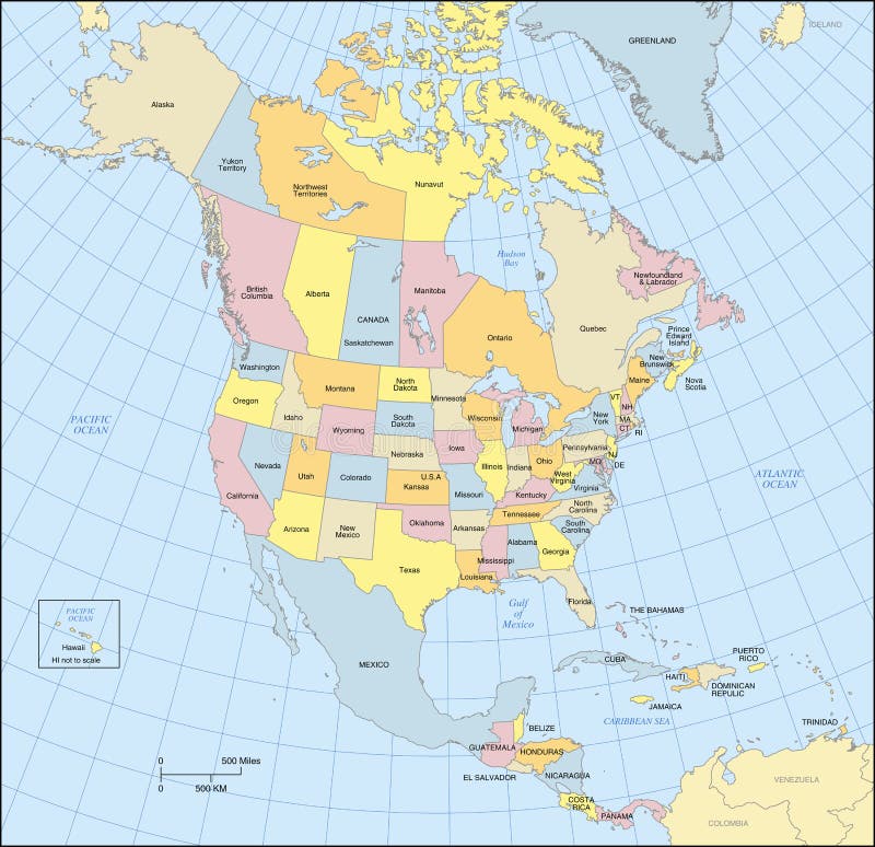
Free with trial North America map showing countries, states, provinces, lat/long grid and oceans. Countries, states, provinces and oceans are labeled. Conic Projection. Provinces vectors North America Map. Showing countries, states, provinces, lat/long grid and oceans. Countries, states, provinces and oceans are labeled. Conic Projection
Free with trial China map. People's Republic of China map designed in illustration with regions colored in bright colors. Vector illustration. Provinces vectors China map. People's Republic of China map designed in illustration with regions colored in bright colors. Vector illustration
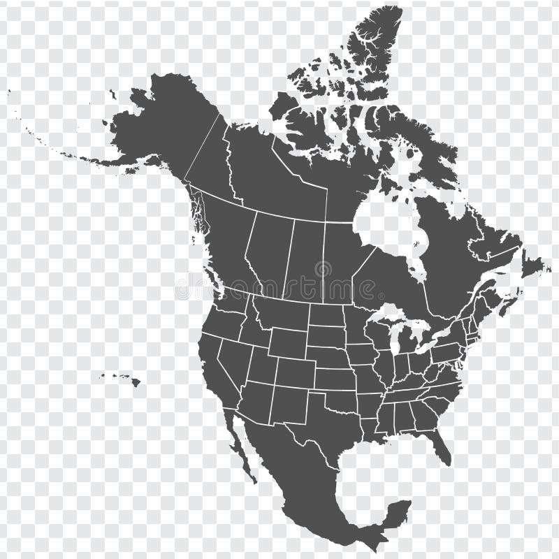
Free with trial Map of North America. Detailed map of North America with States of the USA and Provinces of Canada. Template. Stock vector. EPS10. Provinces vectors Map of North America. Detailed map of North America with States of the USA and Provinces of Canada. Template. Stock vector. EPS10
Free with trial A fully scalable vector illustration of all Canadian provinces and territory flags. Provinces vectors Canadian provinces flags. A fully scalable vector illustration of all Canadian provinces and territory flags. A fully scalable vector illustration of all Canadian provinces and territory flags.
Free with trial Map Mexico. A map of Mexico showing the different provinces in blue tone. Provinces vectors Map Mexico. A map of Mexico showing the different provinces in blue tone
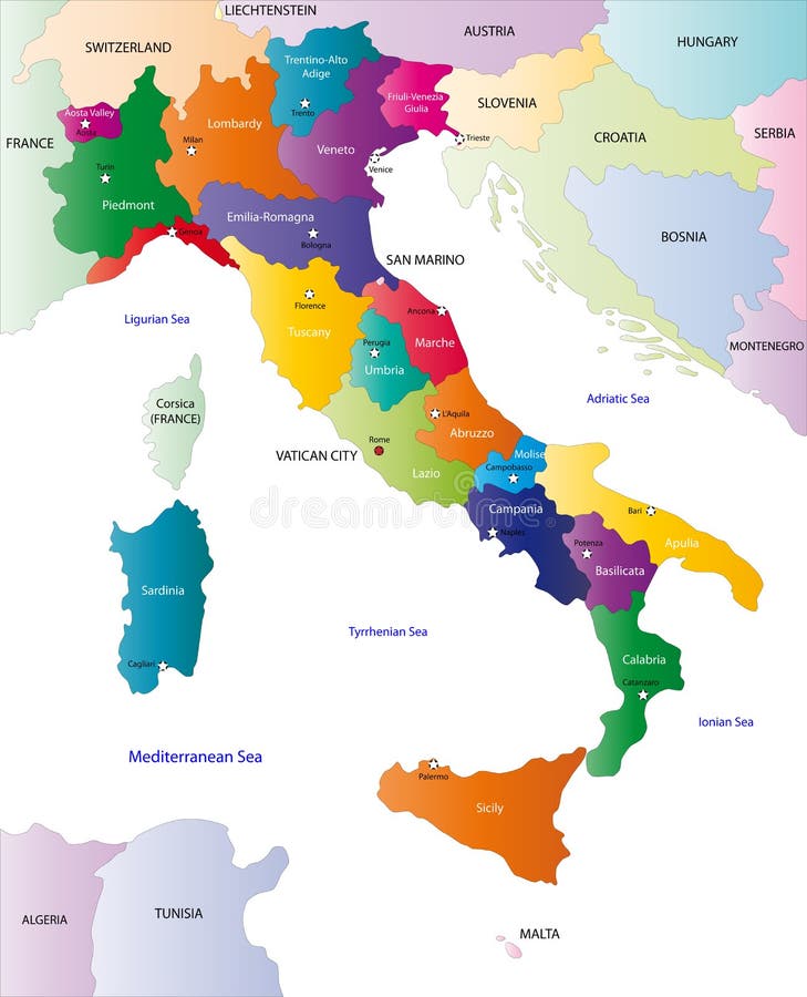
Free with trial Map of Italy. A stylized map of Italy showing the different provinces. All isolated on white background. Provinces vectors Map of Italy. A stylized map of Italy showing the different provinces. All isolated on white background
Free with trial Map Netherlands. A map of the netherlands showing the different provinces. Provinces vectors Map Netherlands. A map of the netherlands showing the different provinces
Free with trial Map Netherlands. A map of the netherlands showing the different provinces in green tone. Provinces vectors Map Netherlands. A map of the netherlands showing the different provinces in green tone
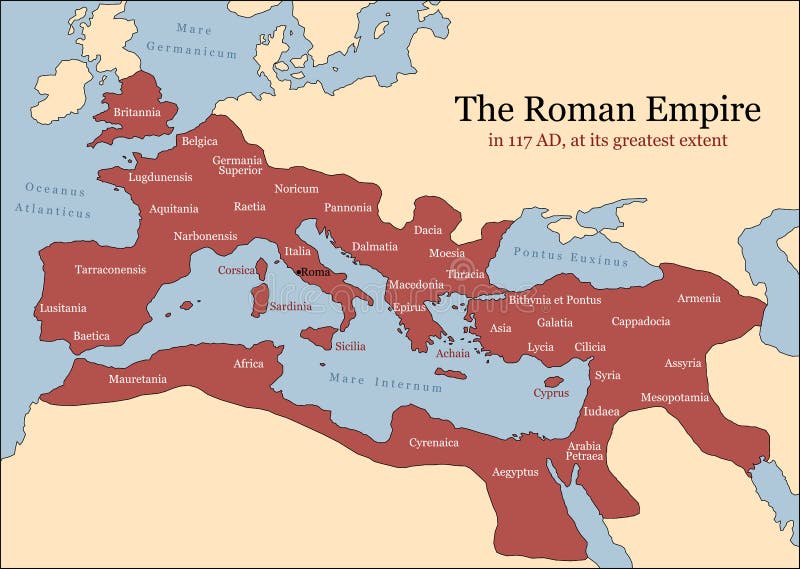
Free with trial The Roman Empire at its greatest extent in 117 AD at the time of Trajan, plus principal provinces. Vector illustration. Provinces vectors Roman Empire Provinces. The Roman Empire at its greatest extent in 117 AD at the time of Trajan, plus principal provinces. Vector illustration. The Roman Empire at its greatest extent in 117 AD at the time of Trajan, plus principal provinces. Vector illustration.
Free with trial Map of Brazil. With the single provinces in green tones. Provinces vectors Map of Brazil. With the single provinces in green tones
Free with trial Map of China - blank. An illustrated map of china with its single provinces. Provinces vectors Map of China - blank. An illustrated map of china with its single provinces
Free with trial Map Mexico. A map of Mexico showing the different provinces in green tone. Provinces vectors Map Mexico. A map of Mexico showing the different provinces in green tone
Free with trial Canada map with provinces and boundary. Provinces vectors Canada map. Canada map with provinces and boundary. Canada map with provinces and boundary.
Free with trial Map South Korea. A map of South Korea showing the different provinces in blue tone. Provinces vectors Map South Korea. A map of South Korea showing the different provinces in blue tone
Free with trial A stylized map of South Africa showing the different provinces. All isolated on white background. Provinces vectors Map of South Africa. A stylized map of South Africa showing the different provinces. All isolated on white background. A stylized map of South Africa showing the different provinces. All isolated on white background.
Free with trial Vector map of China provinces colored by regions. Chinese names gives in parentheses. Provinces vectors Vector map of China provinces colored by regions. Chinese names gives in parentheses
Free with trial Canada Map. 3D map of Canada, showing the capitals of the provinces and territories, as well as the borders. Provinces vectors Canada Map. 3D map of Canada, showing the capitals of the provinces and territories, as well as the borders
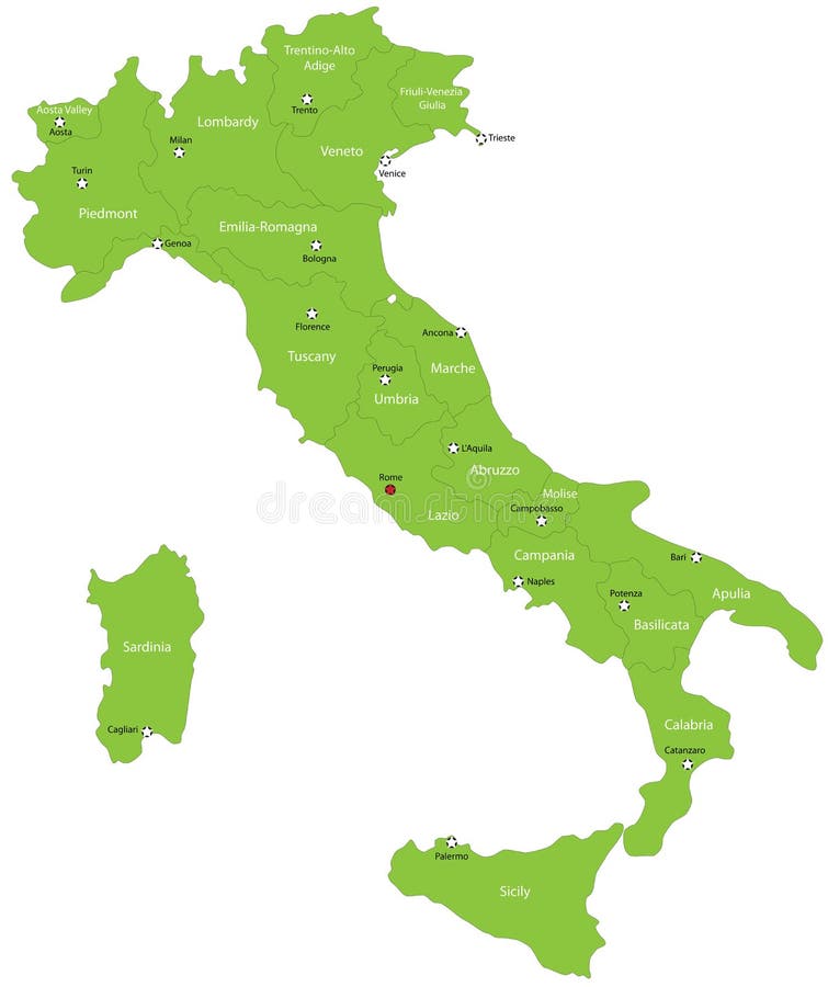
Free with trial Italy map designed in illustration with the 20 regions colored in green colors and with the main cities. Neighbouring countries are in an additional format (. AI) in the latent layer. Provinces vectors Italy. Map designed in illustration with the 20 regions colored in green colors and with the main cities. Neighbouring countries are in an additional format (. Italy map designed in illustration with the 20 regions colored in green colors and with the main cities. Neighbouring countries are in an additional format (. AI) in the latent layer.
Free with trial Malaysia map designed in illustration with the provinces and the main cities. (Map is hight resolution). Provinces vectors Malaysia map. Designed in illustration with the provinces and the main cities. (Map is hight resolution
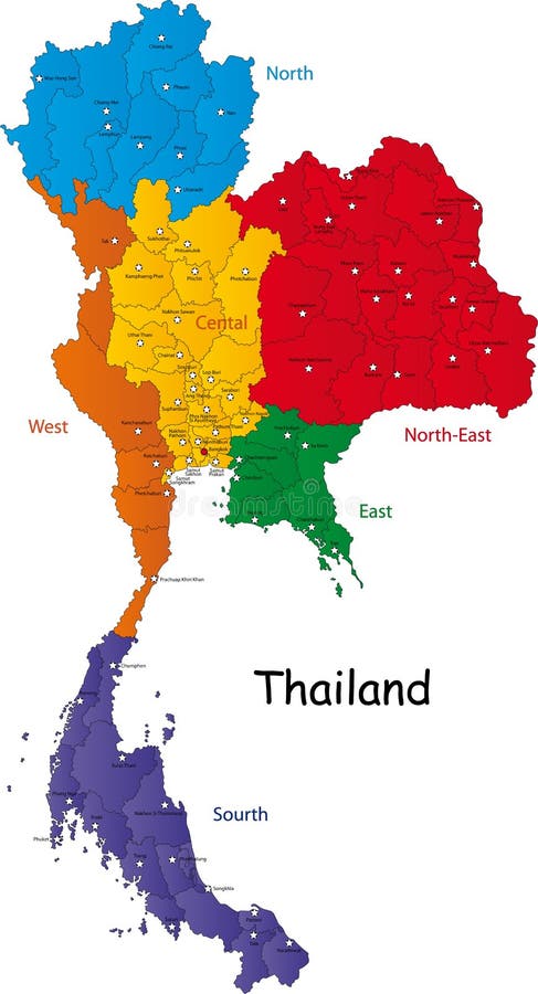
Free with trial Map of Thailand. Thailand map designed in illustration with the regions and provinces with the main cities. (Map is in high resolution. Provinces vectors Map of Thailand. Thailand map designed in illustration with the regions and provinces with the main cities. (Map is in high resolution
Free with trial Saudi Arabia map designed in illustration with the provinces and the main cities. Provinces vectors Saudi Arabia map. Designed in illustration with the provinces and the main cities
Free with trial South Africa map designed in illustration with the provinces and the main cities. Provinces vectors South Africa map. Designed in illustration with the provinces and the main cities
Free with trial Vector China map. Green China map with regions colored in green. Vector illustration. Provinces vectors Vector China map. Green China map with regions colored in green. Vector illustration
Free with trial South Africa map designed in illustration with the provinces and the main cities. Provinces vectors Map of South Africa. South Africa map designed in illustration with the provinces and the main cities. South Africa map designed in illustration with the provinces and the main cities.
Free with trial Vietnam map designed in illustration with the provinces and the main cities. (Map is hight resolution). Provinces vectors Vietnam map. Designed in illustration with the provinces and the main cities. (Map is hight resolution
Free with trial Thailand map designed in illustration with the provinces and the main cities. (Map is hight resolution). Provinces vectors Thailand map. Designed in illustration with the provinces and the main cities. (Map is hight resolution
Free with trial Sri Lanka map designed in illustration with the regions and provinces with the main cities. (Map is in high resolution). Provinces vectors Sri Lanka map. Designed in illustration with the regions and provinces with the main cities. (Map is in high resolution
Free with trial Map of Vietnam. Vietnam map designed in illustration with the regions and provinces colored in bright colors and with the main cities. (Map is hight resolution. Provinces vectors Map of Vietnam. Vietnam map designed in illustration with the regions and provinces colored in bright colors and with the main cities. (Map is hight resolution
Free with trial South Korea map designed in illustration with the regions colored in bright colors and with the main cities. (Map is hight resolution). Provinces vectors South Korea map. Designed in illustration with the regions colored in bright colors and with the main cities. (Map is hight resolution
Free with trial Malaysia map designed in illustration with the provinces and the main cities. (Map is hight resolution). Provinces vectors Map of Malaysia. Malaysia map designed in illustration with the provinces and the main cities. (Map is hight resolution. Malaysia map designed in illustration with the provinces and the main cities. (Map is hight resolution)
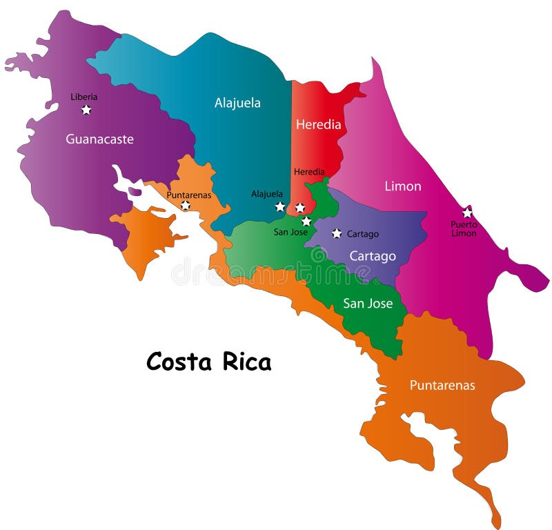
Free with trial Costa Rica map designed in illustration with 7 provinces colored in bright colors and with the main cities. Neighbouring countries are in an additional format (. AI) in the latent layer. Costa Rica map with. Provinces vectors Map of Costa Rica. Costa Rica map designed in illustration with 7 provinces colored in bright colors and with the main cities. Neighbouring countries are in an. Costa Rica map designed in illustration with 7 provinces colored in bright colors and with the main cities. Neighbouring countries are in an additional format (.AI) in the latent layer. Costa Rica map with
Free with trial Map of South Korea. South Korea map designed in illustration with the regions colored in bright colors and with the main cities. (Map is hight resolution. Provinces vectors Map of South Korea. South Korea map designed in illustration with the regions colored in bright colors and with the main cities. (Map is hight resolution
Free with trial Canada map. Blue vector Canada and provinces map. Provinces vectors Canada map. Blue vector Canada and provinces map
Free with trial Map of India. An illustrated map of india. Provinces vectors Map of India. An illustrated map of india
Free with trial Poland map designed in illustration with the 16 provinces colored in green colors and with the main cities. Neighbouring countries are in an additional format (. AI) in the latent layer. Provinces vectors Poland. Map designed in illustration with the 16 provinces colored in green colors and with the main cities. Neighbouring countries are in an additional format. Poland map designed in illustration with the 16 provinces colored in green colors and with the main cities. Neighbouring countries are in an additional format (.AI) in the latent layer.
Free with trial Brazilmap designed in illustration with states colored in green colors and with the main cities. Neighbouring countries are in an additional format (. AI) in the latent layer. Provinces vectors Brazil. Map designed in illustration with states colored in green colors and with the main cities. Neighbouring countries are in an additional format (. AI) in
Free with trial The Empire of Alexander the Great an his conquest course from Greece to India to Babylon in 334-323 B. C. with towns, provinces and year dates. Isolated vector illustration o black background. Provinces vectors Alexander the Great Empire. The Empire of Alexander the Great an his conquest course from Greece to India to Babylon in 334-323 B.C. with towns, provinces and. The Empire of Alexander the Great an his conquest course from Greece to India to Babylon in 334-323 B.C. with towns, provinces and year dates. Isolated vector illustration o black background.
Free with trial Bulgaria map designed in illustration with provinces colored in green colors and with the main cities. Neighbouring countries are in an additional format (. AI) in the latent layer. Provinces vectors Map of Bulgaria. Bulgaria map designed in illustration with provinces colored in green colors and with the main cities. Neighbouring countries are in an. Bulgaria map designed in illustration with provinces colored in green colors and with the main cities. Neighbouring countries are in an additional format (.AI) in the latent layer.
Free with trial Costa Rica map designed in illustration with 7 provinces colored in green colors and with the main cities. Neighbouring countries are in an additional format (. AI) in the latent layer. Provinces vectors Vector Costa Rica map. Costa Rica map designed in illustration with 7 provinces colored in green colors and with the main cities. Neighbouring countries are in. Costa Rica map designed in illustration with 7 provinces colored in green colors and with the main cities. Neighbouring countries are in an additional format (.AI) in the latent layer.
Free with trial Map of provinces and territories of Canada. Detailed map of administrative divisions of Canada. Provinces vectors Map of provinces and territories of Canada. Detailed map of administrative divisions of Canada
Free with trial Haiti map. Showing zones and capital. Provinces vectors Haiti map. Showing zones and capital
Free with trial Stylized map of the United Kingdom showing cities, rivers and borders. Provinces vectors Map of United Kingdom. Stylized map of the United Kingdom showing cities, rivers and borders. Stylized map of the United Kingdom showing cities, rivers and borders.
Free with trial Map of Germany. Vectorial map of Germany with provinces. No gradients and blends. Every province is separate curve. Names of provinces and cities are in separate. Provinces vectors Map of Germany. Vectorial map of Germany with provinces. No gradients and blends. Every province is separate curve. Names of provinces and cities are in separate
Free with trial Detailed Vector illustration of map of Turkey with all 81 cities. Provinces / Cities, City and Country Borders, Lakes are on separate layers. Each city can be selected and recoloured separately. Provinces vectors Map Of Turkey. Detailed Vector illustration of map of Turkey with all 81 cities. Provinces / Cities, City and Country Borders, Lakes are on separate layers. Each. Detailed Vector illustration of map of Turkey with all 81 cities. Provinces / Cities, City and Country Borders, Lakes are on separate layers. Each city can be selected and recoloured separately.
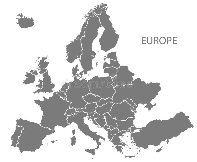
Free with trial Grey Europe map Vector illustrations. Vector illustrations of Europe map with grey countries and white borders. Provinces vectors Grey Europe map Vector illustrations. Vector illustrations of Europe map with grey countries and white borders
Free with trial Italy vector map. With mayor cities. Provinces vectors Italy vector map. With mayor cities
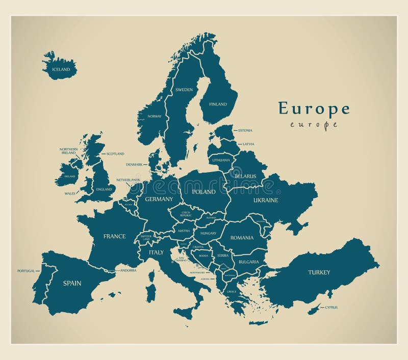
Free with trial Modern Map - Europe with countries and labels. Illustration. Provinces vectors Modern Map - Europe with countries and labels. Illustration
Free with trial Italy map. Italy with 20 color regions on white background. Provinces vectors Italy map. Italy with 20 color regions on white background
Free with trial Blind map of Denmark with regions borders. Names of the regions, main cities, and neighbouring countries are in an additional format (. AI) in the latent layer. Provinces vectors Denmark map. Blind map of Denmark with regions borders. Names of the regions, main cities, and neighbouring countries are in an additional format (.AI) in the. Blind map of Denmark with regions borders. Names of the regions, main cities, and neighbouring countries are in an additional format (.AI) in the latent layer.
Free with trial Italy map designed in illustration with the regions colored in bright colors and with the main cities. On an illustration neighbouring countries are shown too. Provinces vectors Color map of Italy. Italy map designed in illustration with the regions colored in bright colors and with the main cities. On an illustration neighbouring. Italy map designed in illustration with the regions colored in bright colors and with the main cities. On an illustration neighbouring countries are shown too
Free with trial China. Map of China and chinese flag illustration. Provinces vectors China. Map of China and chinese flag illustration
Free with trial Brazil. Vector illustration of a map and flag from Brazil. Provinces vectors Brazil. Vector illustration of a map and flag from Brazil
Free with trial Canada. Provinces of Canada with flag. Provinces vectors Canada. Provinces of Canada with flag
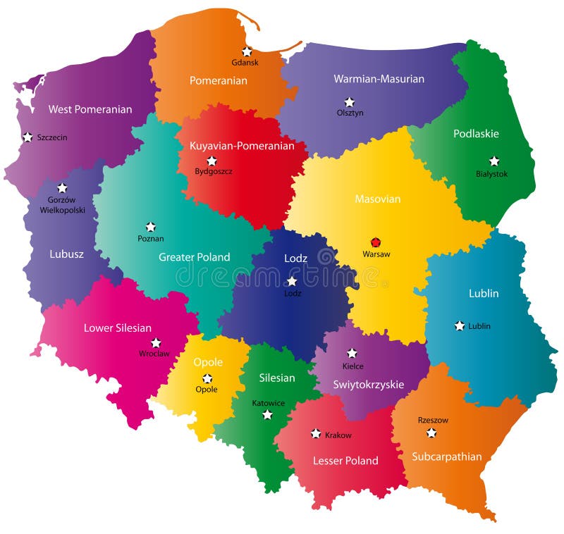
Free with trial Poland map designed in illustration with the 16 provinces colored in bright colors and with the main cities. On an illustration neighbouring countries are shown too. Provinces vectors Poland map. Designed in illustration with the 16 provinces colored in bright colors and with the main cities. On an illustration neighbouring countries are
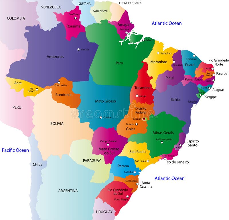
Free with trial Brazil map designed in illustration with the 26 states colored in bright colors and with the main cities. On an illustration neighbouring countries are shown too. Provinces vectors Brazil map. Designed in illustration with the 26 states colored in bright colors and with the main cities. On an illustration neighbouring countries are shown
Free with trial Poland map designed in illustration with the 16 provinces colored in bright colors and with the main cities. Neighbouring countries are in an additional format (. AI) in the latent layer. Provinces vectors Color Poland map. Poland map designed in illustration with the 16 provinces colored in bright colors and with the main cities. Neighbouring countries are in an. Poland map designed in illustration with the 16 provinces colored in bright colors and with the main cities. Neighbouring countries are in an additional format (.AI) in the latent layer.
Free with trial Denmark flag. Vector illustration of a map and flag from Denmark. Provinces vectors Denmark flag. Vector illustration of a map and flag from Denmark
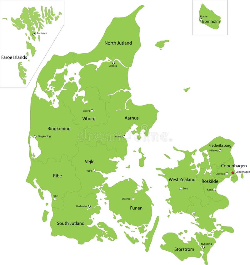
Free with trial Denmark map designed in illustration with the regions colored in green colors and with the main cities. Neighbouring countries are in an additional format (. AI) in the latent layer. Provinces vectors Denmark map. Designed in illustration with the regions colored in green colors and with the main cities. Neighbouring countries are in an additional format (.AI
Free with trial Puerto Rico set. Detailed country shape with region borders, flags and icons isolated on white background. Provinces vectors Puerto Rico set. Detailed country shape with region borders, flags and icons isolated on white background
Free with trial Canada vector map and flag, vector illustration. Provinces vectors Canada vector map and flag. Vector illustration
Free with trial Modern Map - Europe with updated states from 2019 in grey. Illustration. Provinces vectors Modern Map - Europe with updated states from 2019 in grey. Illustration
Free with trial Spain map with provinces. Vector map of spain with borders for regions and provinces, canary islands and balearic islands. Provinces vectors Spain map with provinces. Vector map of spain with borders for regions and provinces, canary islands and balearic islands
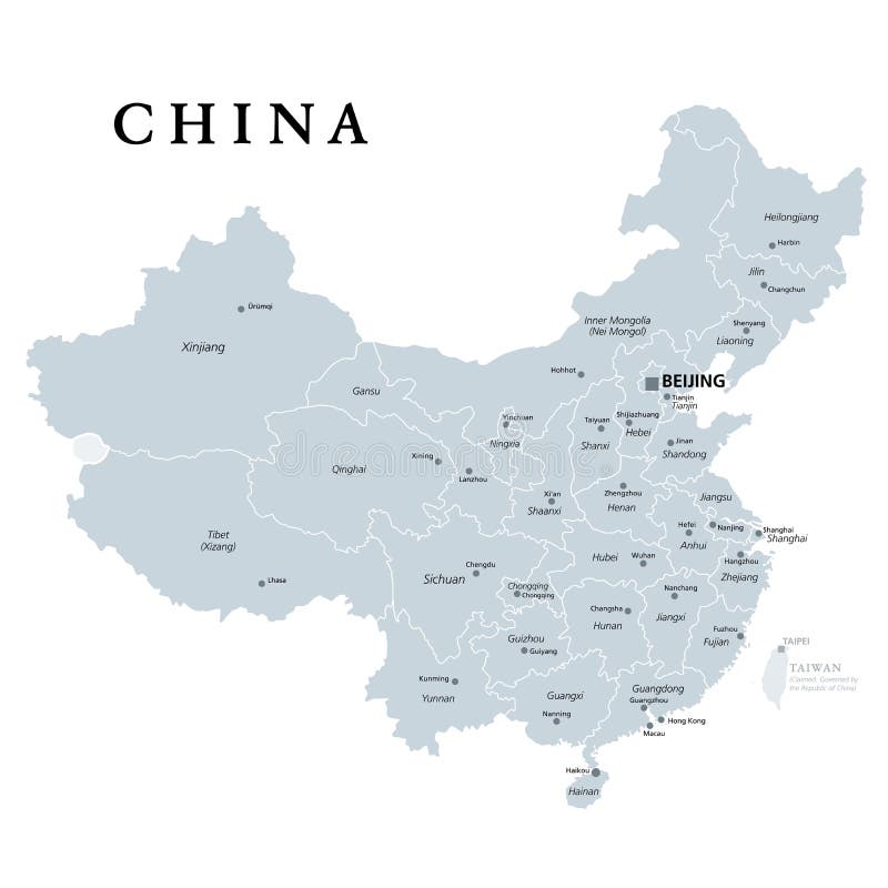
Free with trial China, gray political map, with administrative divisions. PRC, People`s Republic of China with capital Beijing, provinces with capitals and borders. English labeling. Illustration over white. Vector. Provinces vectors China, gray political map, provinces, administrative divisions. China, gray political map, with administrative divisions. PRC, People`s Republic of China with. China, gray political map, with administrative divisions. PRC, People`s Republic of China with capital Beijing, provinces with capitals and borders. English labeling. Illustration over white. Vector.
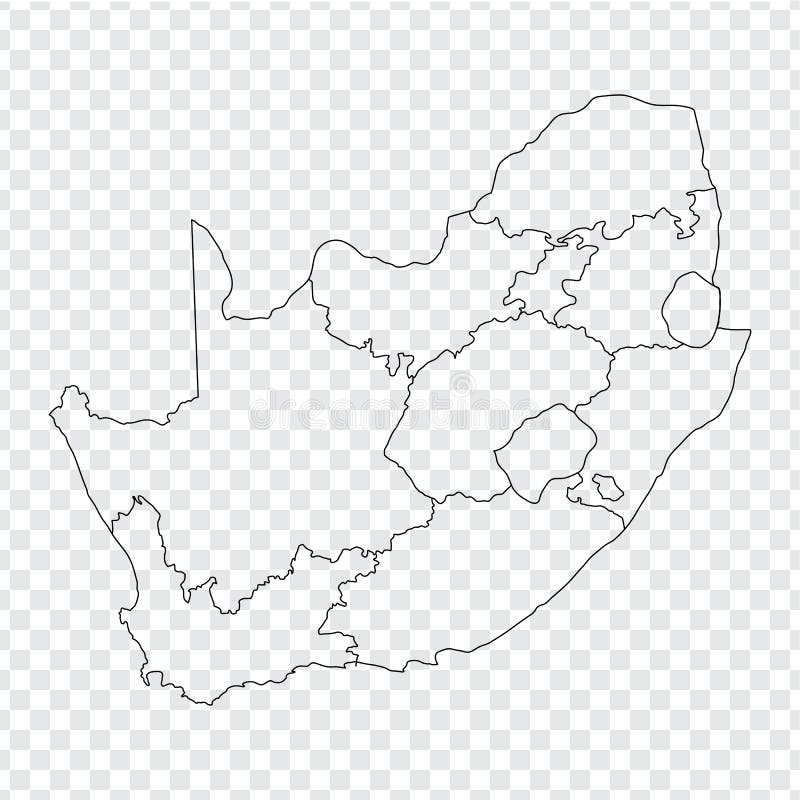
Free with trial Blank map South Africa. High quality map of South Africa with the provinces on transparent background. Stock vector. Vector illustration EPS10. Provinces vectors Blank map South Africa. High quality map of South Africa with the provinces on transparent background. Stock vector. Vector illustration EPS10
Free with trial Blank map China. Map of China with the provinces. High quality map of China on transparent background. Stock vector. Vector illustration EPS10. Provinces vectors Blank map China. Map of China with the provinces. High quality map of China on transparent background. Stock vector. Vector illustration EPS10
Free with trial Blank map Republic of Poland. High quality map of Poland with provinces on transparent background for your web site design, logo, app, UI. Stock vector. EPS10. Provinces vectors Blank map Republic of Poland. High quality map of Poland with provinces on transparent background for your web site design, logo,. App, UI. Stock vector
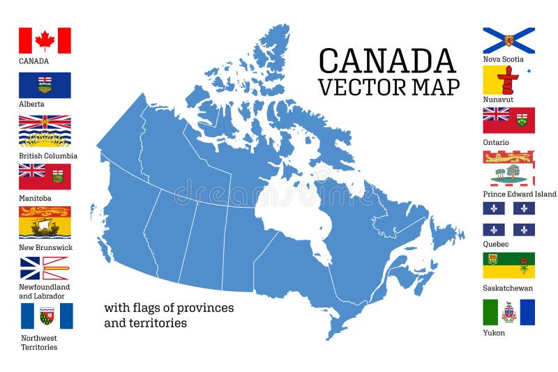
Free with trial Canada map with flags of provinces and territories. Vector illustration. Ottawa, Toronto, Vancouver. Provinces vectors Canada map with flags of provinces and territories. Vector illustration. Ottawa, Toronto, Vancouver
Free with trial Canada All Provinces & Territories Flag Vector Illustration on White Background. Flags of Canada. Correct Size, Proportion and Colors. Provinces vectors Canada All Provinces & Territories Flag Vector Illustration on White Background. Flags of Canada. Correct Size, Proportion and Colors
Free with trial Vector set. Map of Canada with provinces and territories borders and vector flags. Provinces vectors Vector set. Map of Canada with provinces and territories flags. Vector set. Map of Canada with provinces and territories borders and vector flags. Vector set. Map of Canada with provinces and territories borders and vector flags.
Free with trial Laos map designed in illustration with the regions and provinces with the main cities. (Map is hight resolution). Provinces vectors Laos map. Designed in illustration with the regions and provinces with the main cities. (Map is hight resolution
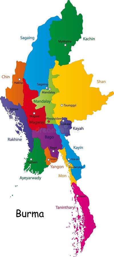
Free with trial Burma map designed in illustration with the provinces and the main cities. (Map is hight resolution). Provinces vectors Burma map. Designed in illustration with the provinces and the main cities. (Map is hight resolution
Free with trial A stylized map of Cuba showing the different provinces. Provinces vectors Map Cuba. A stylized map of Cuba showing the different provinces. A stylized map of Cuba showing the different provinces.
Free with trial Map of Italy. Stylized map of Italy showing cities, provinces and various rivers. All on white background. Italian caption. Provinces vectors Map of Italy. Stylized map of Italy showing cities, provinces and various rivers. All on white background. Italian caption
Free with trial Australia provinces isolated on white background. Provinces vectors Australia provinces. Australia provinces isolated on white background. Australia provinces isolated on white background.
Free with trial A stylized map of Austria showing the different provinces. Provinces vectors Map Austria. A stylized map of Austria showing the different provinces. A stylized map of Austria showing the different provinces.
Free with trial A stylized map of Thailand showing the different provinces. Provinces vectors Map Thailand. A stylized map of Thailand showing the different provinces. A stylized map of Thailand showing the different provinces.
Free with trial USA and Canada large detailed political map with states, provinces and capital cities in USA and Canada. Provinces vectors USA and Canada large detailed political map with states, provinces and capital cities. In USA and Canada
Free with trial Map Spain. A map of Spain showing the different provinces in green tone. Provinces vectors Map Spain. A map of Spain showing the different provinces in green tone
 Sign in