Free with trial Detailed political world map with capitals, rivers and lakes. Vector illustration. Rivers vectors Detailed political world map with capitals, rivers and lakes. Vector illustration
Free with trial Large detailed vintage color political World Map with lakes and rivers. Highly detailed vector illustration of World Map. Rivers vectors Large detailed vintage color political World Map with lakes and. Rivers. Highly detailed vector illustration of World Map
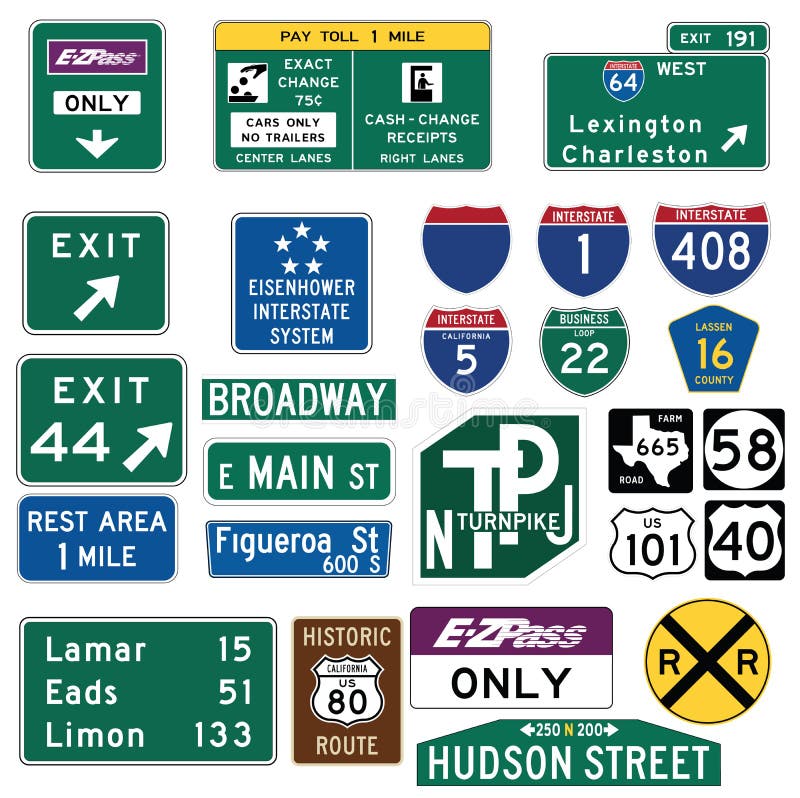
Free with trial Vector Illustration collection of the select Traffic Signs in the United States, isolated on white background. You can find other road signs in my portfolio. EPS file available. Guide signs are essential to direct road users along streets and highways, to inform them of intersecting routes, rnto direct them to cities, towns, villages, or other important destinations, to identify nearby rivers and streams, parks, forests, and historical sites, and generally to give such information as will help them along their way in the most simple, direct manner possible. rnrnIn the United States, road signs are, for the most part, standardized by federal regulations, most notably in the Manual on Uniform Traffic Control Devices (MUTCD) and its companion volume the Standard Highway Signs (SHS). There currently are no plans for adopting the Vienna Convention on Road Signs and Signals standards. Twenty-three states along with the District of Columbia and Puerto Rico use the manual without any alterations, 20 states have adopted it in conjunction with a supplemental volume, and seven states have a state version in substantial conformance to the MUTCD. There are also localized versions that are used in large cities such as New York City which use a naming system compatible with the MUTCD and/or state supplement. The MUTCD and SHS establish seven general categories of signs for road and highway use. rnrnIncluded illustrations are select examples of the MUTCD Guide Signs categories. rn. Rivers vectors Traffic Guide Signs in the United States. Vector Illustration collection of the select Traffic Signs in the United States, isolated on white background. You can. Vector Illustration collection of the select Traffic Signs in the United States, isolated on white background. You can find other road signs in my portfolio. EPS file available. Guide signs are essential to direct road users along streets and highways, to inform them of intersecting routes, rnto direct them to cities, towns, villages, or other important destinations, to identify nearby rivers and streams, parks, forests, and historical sites, and generally to give such information as will help them along their way in the most simple, direct manner possible.rnrnIn the United States, road signs are, for the most part, standardized by federal regulations, most notably in the Manual on Uniform Traffic Control Devices (MUTCD) and its companion volume the Standard Highway Signs (SHS). There currently are no plans for adopting the Vienna Convention on Road Signs and Signals standards. Twenty-three states along with the District of Columbia and Puerto Rico use the manual without any alterations, 20 states have adopted it in conjunction with a supplemental volume, and seven states have a state version in substantial conformance to the MUTCD. There are also localized versions that are used in large cities such as New York City which use a naming system compatible with the MUTCD and/or state supplement. The MUTCD and SHS establish seven general categories of signs for road and highway use.rnrnIncluded illustrations are select examples of the MUTCD Guide Signs categories.rn
Free with trial Ohio Map. Illustration of the map of the Great State of Ohio, USA. Featuring its main cities, rivers, lakes and the highest peak of the state. Rivers vectors Ohio Map. Illustration of the map of the Great State of Ohio, USA. Featuring its main cities, rivers, lakes and the highest peak of the state
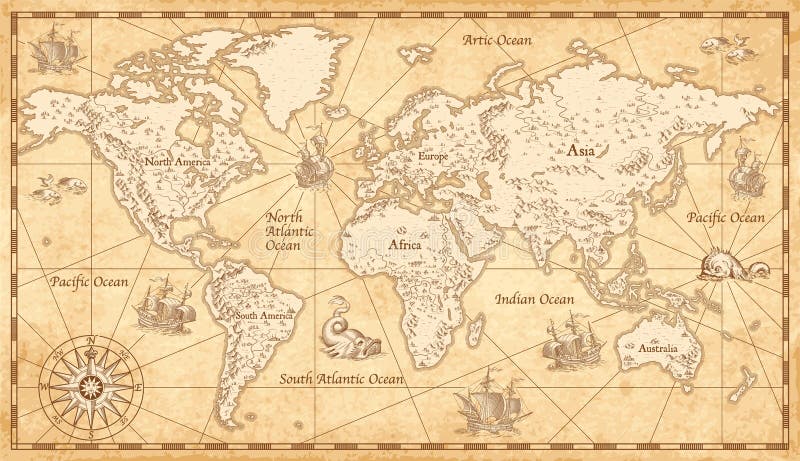
Free with trial Great Detail Illustration of the world map in vintage style with mountains, trees, cities and main rivers on a old parchment background. Rivers vectors Vintage Illustrated World Map. Great Detail Illustration of the world map in vintage style with mountains, trees, cities and main rivers on a old parchment. Great Detail Illustration of the world map in vintage style with mountains, trees, cities and main rivers on a old parchment background.
Free with trial Map Germany. Stylized map of germany showing states, rivers and big cities. City names in german language. Rivers vectors Map Germany. Stylized map of germany showing states, rivers and big cities. City names in german language
Free with trial Highly Detailed Map of United States. With cities, roads, lakes, rivers, states, Alaska and Hawaii. Rivers vectors Highly detailed road map of United States and colorful map point. Highly Detailed Map of United States. With cities, roads, lakes, rivers, states, Alaska and. Highly Detailed Map of United States. With cities, roads, lakes, rivers, states, Alaska and Hawaii.
Free with trial Snow capped mountains, meadows, rivers and forest on a sunny day. Rivers vectors Landscape view of snow covered mountains, green meadows and a river. Snow capped mountains, meadows, rivers and forest on a sunny day. Snow capped mountains, meadows, rivers and forest on a sunny day.
Free with trial Vintage physical world map with rivers and mountains vector illustration. Retro vintage old world map with antique travel ship. Rivers vectors Vintage physical world map with rivers and mountains vector illustration. Retro vintage old world map with antique travel ship
Free with trial Mountains river engraving. Outdoors travel, mountain adventures and snake rivers vintage hand drawn landscape. Mountain valley sketch, tourism landscape drawing vector illustration. Rivers vectors Mountains river engraving. Outdoors travel, mountain adventures and snake rivers vintage hand drawn landscape vector. Mountains river engraving. Outdoors travel. Mountains river engraving. Outdoors travel, mountain adventures and snake rivers vintage hand drawn landscape. Mountain valley sketch, tourism landscape drawing vector illustration
Free with trial Realistic Topographic map of an area west of Austin, Texas. Vector map is layered with isolines, rivers, bodies of water and background on different layers. Rivers vectors Topographic Map. Realistic Topographic map of an area west of Austin, Texas. Vector map is layered with isolines, rivers, bodies of water and background on. Realistic Topographic map of an area west of Austin, Texas. Vector map is layered with isolines, rivers, bodies of water and background on different layers.
Free with trial Sicily map. Illustration of the map of Sicily with its main cities, rivers, mountains and archaeological sites. Rivers vectors Sicily map. Illustration of the map of Sicily with its main cities, rivers, mountains and archaeological sites
Free with trial Jamaica map. Illustration of a detailed political map of Jamaica, with its main cities, mountains and rivers. Rivers vectors Jamaica map. Illustration of a detailed political map of Jamaica, with its main cities, mountains and rivers
Free with trial Map of Egypt with national borders, cities rivers and lakes. Rivers vectors Map of Egypt. With national borders, cities rivers and lakes
Free with trial China political map with capital Beijing, national borders, important cities, rivers and lakes. English labeling and scaling. Illustration. Rivers vectors China Political Map. With capital Beijing, national borders, important cities, rivers and lakes. English labeling and scaling. Illustration
Free with trial Indiana Map. Illustration of the map of the Great State of Indiana, USA. Featuring rivers, lakes and the highest peak of the state. Rivers vectors Indiana Map. Illustration of the map of the Great State of Indiana, USA. Featuring rivers, lakes and the highest peak of the state
Free with trial World physical map. Robinson projection, centered on Africa, colored according to elevation, with contour lines, rivers and ocean depths. Isolated on white with clipping path. Fully editable vector version with 22 layers available. Rivers vectors Globe centered on Africa. World physical map. Robinson projection, centered on Africa, colored according to elevation, with contour lines, rivers and ocean. World physical map. Robinson projection, centered on Africa, colored according to elevation, with contour lines, rivers and ocean depths. Isolated on white with clipping path. Fully editable vector version with 22 layers available.
Free with trial Spain Map. Map of Spain with national borders, most important cities, rivers and lakes. Rivers vectors Spain Map. Map of Spain with national borders, most important cities, rivers and lakes
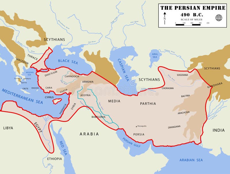
Free with trial Illustation of a detailed map of the Persian Empire, at the moment of the its maximum extension, with real region names. Rivers vectors Persian Empire map (detailed). Illustation of a detailed map of the Persian Empire, at the moment of the its maximum extension, with real region names. Illustation of a detailed map of the Persian Empire, at the moment of the its maximum extension, with real region names.
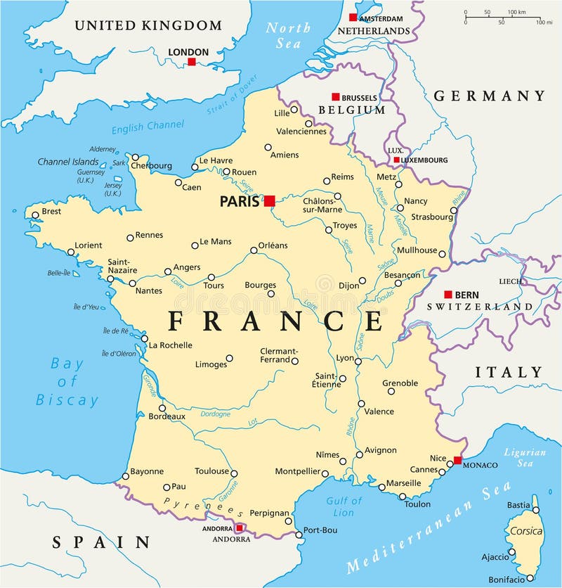
Free with trial France Political Map with capital Paris, national borders, most important cities and rivers. English labeling and scaling. Illustration. Rivers vectors France Political Map. With capital Paris, national borders, most important cities and rivers. English labeling and scaling. Illustration
Free with trial Israel political map with capital Jerusalem, national borders, important cities, rivers and lakes. English labeling and scaling. Illustration. Rivers vectors Israel Political Map. With capital Jerusalem, national borders, important cities, rivers and lakes. English labeling and scaling. Illustration
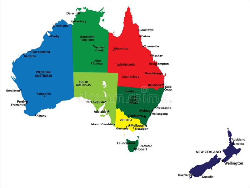
Free with trial Australia and New Zealand. Vector map of Australia and New Zealand with state borders and main cities. Rivers vectors Australia and New Zealand. Vector map of Australia and New Zealand with state borders and main cities
Free with trial Vector Globe featuring a Vintage illustrated map of the World. Rivers vectors Vector Globe Vintage World Map. Vector Globe featuring a Vintage illustrated map of the World. Vector Globe featuring a Vintage illustrated map of the World.
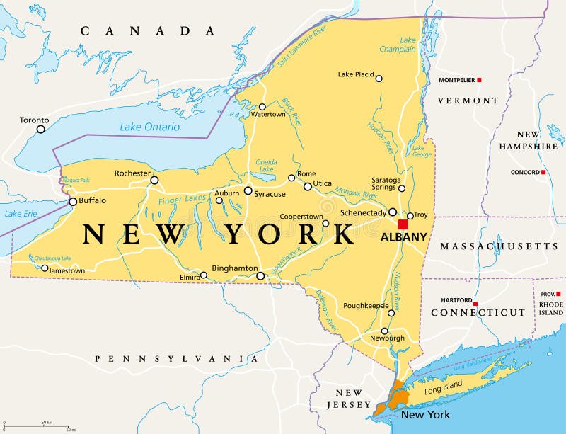
Free with trial New York State NYS, political map, with capital Albany, borders, important cities, rivers and lakes. State in the Northeastern United States of America. English labeling. Illustration. Vector. Rivers vectors New York State NYS, political map. With capital Albany, borders, important cities, rivers and lakes. State in the Northeastern United States of America. New York State NYS, political map, with capital Albany, borders, important cities, rivers and lakes. State in the Northeastern United States of America. English labeling. Illustration. Vector.
Free with trial Region of lands around the Mediterranean Sea. South Europe, North Africa and Near East with capitals, national borders, rivers and lakes. English labeling and scaling. Illustration. Rivers vectors Mediterranean Sea Region Political Map. Region of lands around the Mediterranean Sea. South Europe, North Africa and Near East with capitals, national borders. Region of lands around the Mediterranean Sea. South Europe, North Africa and Near East with capitals, national borders, rivers and lakes. English labeling and scaling. Illustration.
Free with trial Political map of the Caribbean - Large and Lesser Antilles - with their capitals, national borders, rivers and lakes. Vector illustration with english labeling and scale. Rivers vectors Large And Lesser Antilles Political Map. Political map of the Caribbean - Large and Lesser Antilles - with their capitals, national borders, rivers and lakes. Political map of the Caribbean - Large and Lesser Antilles - with their capitals, national borders, rivers and lakes. Vector illustration with english labeling and scale.
Free with trial City map Amsterdam, travel vector poster design. Detailed plan of the city, rivers and streets. Rivers vectors City map Amsterdam, travel vector poster design. Detailed plan of the city, rivers and streets
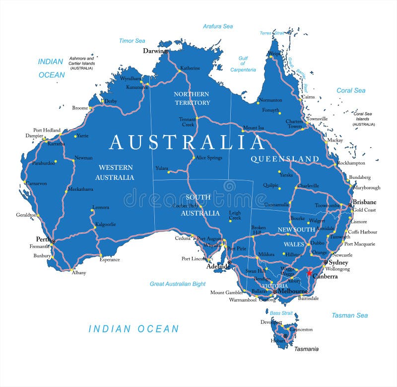
Free with trial Highly detailed vector map of Australia with administrative regions, main cities and roads. Rivers vectors Australia road map. Highly detailed vector map of Australia with administrative regions, main cities and roads. Highly detailed vector map of Australia with administrative regions, main cities and roads.
Free with trial Stylized map of the United Kingdom showing cities, rivers and borders. Rivers vectors Map of United Kingdom. Stylized map of the United Kingdom showing cities, rivers and borders. Stylized map of the United Kingdom showing cities, rivers and borders.
Free with trial Illustrated Map of Africa. Illustration of map of Africa with country borders. Rivers vectors Illustrated Map of Africa. Illustration of map of Africa with country borders
Free with trial Hispaniola Political Map with Haiti and Dominican Republic, located in the Caribbean island group, the Greater Antilles. With capitals, national borders, important cities, rivers and lakes. English labeling and scaling. Illustration. Rivers vectors Hispaniola Political Map with Haiti and Dominican Republic. Located in the Caribbean island group, the Greater Antilles. With capitals, national borders. Hispaniola Political Map with Haiti and Dominican Republic, located in the Caribbean island group, the Greater Antilles. With capitals, national borders, important cities, rivers and lakes. English labeling and scaling. Illustration.
Free with trial Political map of Central America with capitals, national borders, most important rivers and lakes. Vector illustration with english labeling and scale. Rivers vectors Central America Political Map. Political map of Central America with capitals, national borders, most important rivers and lakes. Vector illustration with. Political map of Central America with capitals, national borders, most important rivers and lakes. Vector illustration with english labeling and scale.
Free with trial Collection of landscapes logos - mountains and rivers. Rivers vectors Collection of landscapes logos. Mountains and rivers
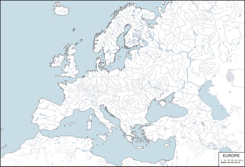
Free with trial Europe - contour map, vector illustration. Contour map of Europe with rivers and lakes. Rivers vectors Europe - contour map, vector illustration. Contour map of Europe with rivers and lakes
Free with trial Florida political map with capital Tallahassee, borders, important places, rivers and lakes. State, located in the southeastern region of the United States. Illustration with English labeling. Vector. Rivers vectors Florida political map. With capital Tallahassee, borders, important places, rivers and lakes. State, located in the southeastern region of the United States. Florida political map with capital Tallahassee, borders, important places, rivers and lakes. State, located in the southeastern region of the United States. Illustration with English labeling. Vector.
Free with trial High detailed Australia physical map with labeling. clearly labeled, separated layers, vector illustration. Rivers vectors High detailed Australia physical map with labeling. Clearly labeled, separated layers, vector illustration
Free with trial Phosphorus cycle vector illustration. Labeled earth chemical element scheme. Educational diagram with explained substance movement from rivers, fertilizer runoff, marine environment to rock formation. Rivers vectors Phosphorus cycle vector illustration. Labeled earth chemical element scheme. Educational diagram with explained substance movement from rivers, fertilizer
Free with trial Acid rain cycle in nature ecosystem, isometric infographic scene, vector illustration. Planet earth global environmental balance harmful dangers. Pollution in nature. Rivers vectors Acid rain cycle in nature ecosystem, isometric infographic scene, vector illustration. Planet earth global environmental balance. Acid rain cycle in nature. Acid rain cycle in nature ecosystem, isometric infographic scene, vector illustration. Planet earth global environmental balance harmful dangers. Pollution in nature.
Free with trial Vector color map of Alaska state. Usa. Rivers vectors Alaska. Vector color map of Alaska state. Usa. Vector color map of Alaska state. Usa.
Free with trial Ecuador and Galapagos Islands political map with capital Quito, with national borders, most important cities, rivers and lakes. Illustration with English labeling and scaling. Vector. Rivers vectors Ecuador and Galapagos Islands Political Map. With capital Quito, with national borders, most important cities, rivers and lakes. Illustration with English. Ecuador and Galapagos Islands political map with capital Quito, with national borders, most important cities, rivers and lakes. Illustration with English labeling and scaling. Vector.
Free with trial Evergreen pine tree logo vintage with river creek vector emblem illustration design. Rivers vectors Evergreen pine tree logo vintage with river creek vector emblem illustration design.
Free with trial High detailed Africa physical map with labeling, separated layers. Vector illustration. Rivers vectors High detailed Africa physical map with labeling. High detailed Africa physical map with labeling, separated layers. Vector illustration. High detailed Africa physical map with labeling, separated layers. Vector illustration.
Free with trial World Map Vintage Color Pacific Centred. Detailed Vector Illustration of Pacific Centered Political World Map Vintage Color. Rivers vectors World Map Vintage Color Pacific Centred. Detailed Vector Illustration of Pacific Centered Political World Map Vintage Color
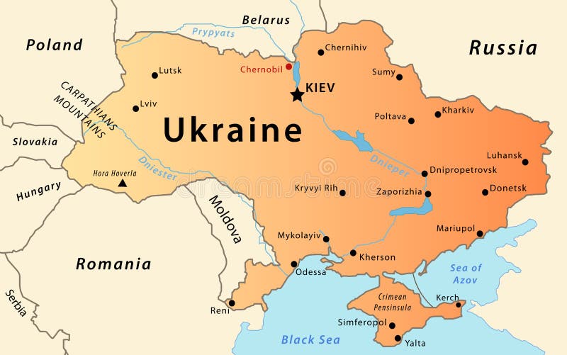
Free with trial Ukraine map. Illustration of a detailed political map of Ukraine, with the most important cities, rivers and mountains. Rivers vectors Ukraine map. Illustration of a detailed political map of Ukraine, with the most important cities, rivers and mountains
Free with trial Dragon Boat Festival. Illustration of Dragon Boat Festival. Rivers vectors Dragon Boat Festival. Illustration of Dragon Boat Festival
Free with trial Vector illustration for the continent of Africa. Over 50 countries including several small islands, rivers and lakes not visible unless zoomed in. Very editable if needed. Rivers vectors Africa Continent Flag Map. Vector illustration for the continent of Africa. Over 50 countries including several small islands, rivers and lakes not visible. Vector illustration for the continent of Africa. Over 50 countries including several small islands, rivers and lakes not visible unless zoomed in. Very editable if needed.
Free with trial Dragon Boat Festival. Illustration of long Dragon Boat Festival. Rivers vectors Dragon Boat Festival. Illustration of long Dragon Boat Festival
Free with trial Folded maps navigation with red color point markers. Design background, illustration. Rivers vectors Folded maps navigation with red color point markers. Design background, illustration
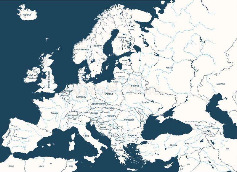
Free with trial High detailed vector map of Europe main rivers. Rivers vectors High detailed vector map of Europe main rivers. High detailed map of Europe main rivers
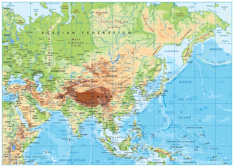
Free with trial Asia Physical Map with Rivers, Lakes and Elevations. Retro Colors. Rivers vectors Asia Physical Map with Rivers, Lakes and Elevations. Retro Colors
Free with trial Mountain abstract poster. Geometric landscape banners with hills, rivers and lakes, minimalist nature scenes. Vector illustration graphic flyers with flows and curved stream. Rivers vectors Mountain abstract poster. Geometric landscape banners with hills, rivers and lakes, minimalist nature scenes. Vector. Illustration graphic flyers with flows and
Free with trial Mountain logo, elegant mountain vector logo design and creeks or rivers. Rivers vectors Mountain logo, elegant mountain vector logo design and creeks or rivers.
Free with trial Europe high detailed political map with main rivers. All elements separated in detachable layers. Rivers vectors Europe high detailed political map with main rivers. All elements separated in detachable layers.
Free with trial Isometric landscapes with city buildings, village, roads, parks, plains, hills, mountains, lakes, rivers and waterfall. Set of detailed city buildings. 3d isometric map. Rivers vectors Isometric landscapes with city buildings, village, roads, parks, plains, hills, mountains, lakes, rivers and waterfall. Set of de. Tailed city buildings. 3d
Free with trial Isometric landscapes with city buildings, parks, plains, hills, mountains, lakes and rivers. Set of detailed city buildings. 3d is. Isometric landscapes with. Rivers vectors Isometric landscapes with city buildings, parks, plains, hills, mountains, lakes and rivers. Set of detailed city buildings. 3d is. Isometric landscapes with
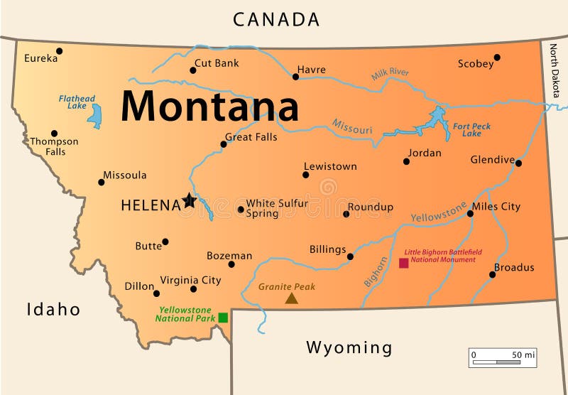
Free with trial Montana Map. Illustration of the map of the Great State of Montana, USA. Featuring its main cities, rivers, lakes and the highest peak of the state. Rivers vectors Montana Map. Illustration of the map of the Great State of Montana, USA. Featuring its main cities, rivers, lakes and the highest peak of the state
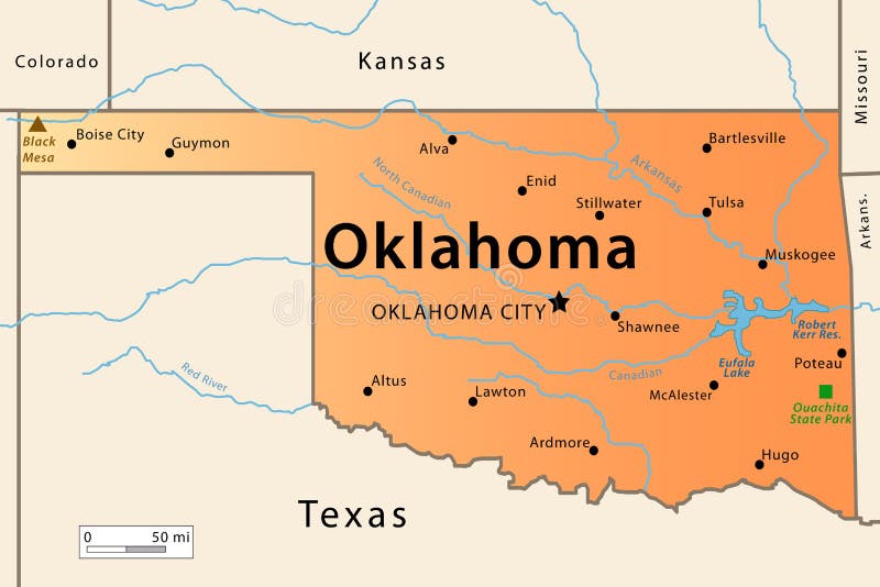
Free with trial Oklahoma Map. Illustration of the map of the Great State of Oklahoma , USA. Featuring its main cities, rivers, lakes and the highest peak of the state. Rivers vectors Oklahoma Map. Illustration of the map of the Great State of Oklahoma , USA. Featuring its main cities, rivers, lakes and the highest peak of the state
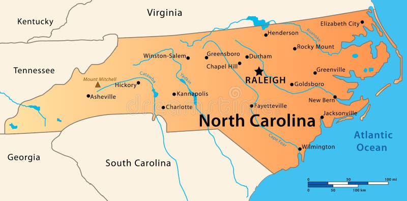
Free with trial North Carolina Map. Illustration of the map of the Great State of North Carolina, USA. Featuring its main cities, rivers, lakes and the highest peak of the state. Rivers vectors North Carolina Map. Illustration of the map of the Great State of North Carolina, USA. Featuring its main cities, rivers, lakes and the highest peak of the state
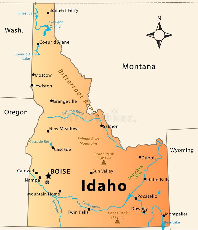
Free with trial Idaho Map. Illustration of the map of the Great State of Idaho, USA. Featuring its main cities, rivers, lakes and the highest peak of the state. Rivers vectors Idaho Map. Illustration of the map of the Great State of Idaho, USA. Featuring its main cities, rivers, lakes and the highest peak of the state
Free with trial Old retro World Map with lakes and rivers. Highly detailed vector illustration of large political World Map. Rivers vectors Old retro World Map with lakes and rivers. Highly detailed vector illustration of large political World Map
Free with trial Asia physical map with rivers, lakes and elevations. Rivers vectors Asia physical map. With rivers, lakes and elevations
Free with trial Meandrous river beds in perspective. Wobbling river bending stream or creek various rivers vector illustration isolated on white. Rivers vectors Meandrous river beds in perspective. Wobbling river bending stream or creek various rivers vector illustration isolated on white
Free with trial Map of France. Stylized map of France showing cities, provinces and various rivers. All on white background. Rivers vectors Map of France. Stylized map of France showing cities, provinces and various rivers. All on white background. Stylized map of France showing cities, provinces and various rivers. All on white background.
Free with trial Vector map elements, colorful, hand draw - water, rivers, lakes, islands. Vector colorful map hand draw stock elements for fantasy map and board games. Rivers vectors Vector map elements, colorful, hand draw - water, rivers, lakes, islands. Vector colorful map hand draw stock elements for fantasy map and board games
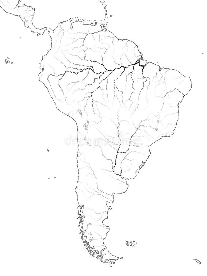
Free with trial World Map of SOUTH AMERICA: Latin America, Argentina, Brazil, Peru, Andes, Cordilleras, Amazon River, Selva, Llanos, Pampa, Patagonia. Geographic chart of continent with coastline, landscape & rivers. Rivers vectors World Map of SOUTH AMERICA: Latin America, Argentina, Brazil, Peru, Patagonia, Amazon River. Geographic chart. World Map of SOUTH AMERICA: Latin America. World Map of SOUTH AMERICA: Latin America, Argentina, Brazil, Peru, Andes, Cordilleras, Amazon River, Selva, Llanos, Pampa, Patagonia. Geographic chart of continent with coastline, landscape & rivers.
Free with trial Detailed South America Map and location pin icons with roads, lakes and rivers. Highly detailed vector map. Rivers vectors Detailed South America Map and location pin icons. With roads, lakes and rivers. Highly detailed vector map
Free with trial A cute nature landscape image for relaxing activity,with mountains rivers ,plants,trees and animals. Line art style illustration for print. Rivers vectors Adult coloring book,page a cute nature landscape image for relaxing. A cute nature landscape image for relaxing activity,with mountains rivers ,plants,trees and. A cute nature landscape image for relaxing activity,with mountains rivers ,plants,trees and animals.Line art style illustration for print.
Free with trial Set Abstract Landscape of Mountains and Rivers with the Sun in a Minimal Trendy Style. Vector Background in Terracotta Colors for covers, Posters, Postcards, social media Stories. Boho Art Prints. Rivers vectors Abstract Landscape of Mountains and Rivers with the Sun in a Minimal Trend Style. Vector Background in Pastel Colors. Set Abstract Landscape of Mountains and. Set Abstract Landscape of Mountains and Rivers with the Sun in a Minimal Trendy Style. Vector Background in Terracotta Colors for covers, Posters, Postcards, social media Stories. Boho Art Prints.
Free with trial High detailed South America physical map with rivers and surface elements. Rivers vectors High detailed South America physical map with labeling. High detailed South America physical map with rivers and surface elements. High detailed South America physical map with rivers and surface elements.
Free with trial High detailed Europe physical map with rivers and surface elements. Vector illustration. Rivers vectors High detailed Europe physical map with labeling. High detailed Europe physical map with rivers and surface elements. Vector illustration. High detailed Europe physical map with rivers and surface elements. Vector illustration.
Free with trial High detailed Africa physical map with rivers and surface elements. Rivers vectors High detailed Africa physical map. High detailed Africa physical map with rivers and surface elements. High detailed Africa physical map with rivers and surface elements.
Free with trial Erosion diagram. A vector An image of Erosion diagram. Rivers vectors Erosion diagram. A vector An image of Erosion diagram
Free with trial Germany Political Map with capital Berlin, national borders, most important cities, rivers and lakes. English labeling and scaling. Illustration. Rivers vectors Germany Political Map. With capital Berlin, national borders, most important cities, rivers and lakes. English labeling and scaling. Illustration
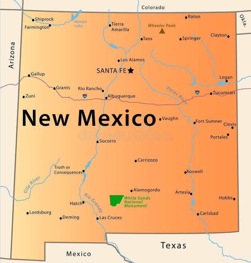
Free with trial Illustration of the map of the Great State of New Mexico, USA. Featuring rivers, the highest peak of the state, the route 66, White Sands National Park and main cities. Rivers vectors New Mexico Map. Illustration of the map of the Great State of New Mexico, USA. Featuring rivers, the highest peak of the state, the route 66, White Sands. Illustration of the map of the Great State of New Mexico, USA. Featuring rivers, the highest peak of the state, the route 66, White Sands National Park and main cities.
Free with trial Political World Map Retro Colors - borders, countries and cities - Detailed World Map vector illustration - All elements are separated in editable layers clearly labeled - Vector. Rivers vectors Political World Map Retro Colors. Borders, countries and cities - Detailed World Map vector illustration - All elements are separated in editable layers. Political World Map Retro Colors - borders, countries and cities - Detailed World Map vector illustration - All elements are separated in editable layers clearly labeled - Vector
Free with trial North Korea and South Korea political map with capitals Pyongyang and Seoul. Korean peninsula, national borders, important cities, rivers and lakes. English labeling and scaling. Illustration. Rivers vectors North Korea and South Korea Political Map. With capitals Pyongyang and Seoul. Korean peninsula, national borders, important cities, rivers and lakes. English. North Korea and South Korea political map with capitals Pyongyang and Seoul. Korean peninsula, national borders, important cities, rivers and lakes. English labeling and scaling. Illustration.
Free with trial Vector map (adobe illustrator format) of Russia, Ukrain, Belorussia, Georgia, Moldova, Kazakhstan, Uzbekistan, Turkmenistan, Kirghistan, Tadjikistan, Armenia Azerbaijan, Mongolia. Every country is in a separate layer. Also in separate layers all largest rivers, lakes, cities, their names. All layers can be turned off, delete. The contour of Russia includes all islands, included in territory of Russia. Rivers vectors Russia and nearest countrys map. Vector map (adobe illustrator format) of Russia, Ukrain, Belorussia, Georgia, Moldova, Kazakhstan, Uzbekistan, Turkmenistan. Vector map (adobe illustrator format) of Russia, Ukrain, Belorussia, Georgia, Moldova, Kazakhstan, Uzbekistan, Turkmenistan, Kirghistan, Tadjikistan, Armenia Azerbaijan, Mongolia. Every country is in a separate layer. Also in separate layers all largest rivers, lakes, cities, their names. All layers can be turned off, delete. The contour of Russia includes all islands, included in territory of Russia.
Free with trial Railroad ferry bridge vector. Vector illustration of old iron bridge as silhouette, in specific this is a stylized version of the bridge in calcutta. Rivers vectors Railroad ferry bridge vector. Vector illustration of old iron bridge as silhouette, in specific this is a stylized version of the bridge in calcutta
Free with trial Topographic map background concept with space for your copy. Rivers vectors Topographic Map. Background concept with space for your copy
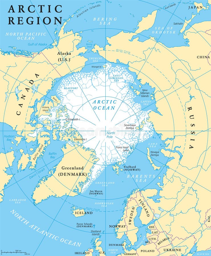
Free with trial Arctic region map with countries, capitals, national borders, rivers and lakes. Arctic Ocean with average minimum extent of sea ice. English labeling and scaling. Rivers vectors Arctic Region Map. With countries, capitals, national borders, rivers and lakes. Arctic Ocean with average minimum extent of sea ice. English labeling and
 Sign in