Free with trial Blue US 3D State map. An US State map in Blue 3D tones. Territory vectors Blue US 3D State map. An US State map in Blue 3D tones
Free with trial An illustrated map of the United States. Territory vectors United States Map. An illustrated map of the United States. An illustrated map of the United States.
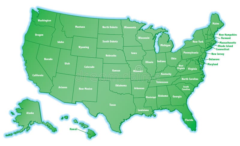
Free with trial USA map vector. With names of states. Territory vectors USA map vector. With names of states
Free with trial Detailed Map of Canadian Territories, each territory labeled on a seperate layer. Territory vectors Detailed Map of Canadian Territories. Each territory labeled on a seperate layer
Free with trial Zoo entrance gates cartoon poster with elephant giraffe lion safari animals and visitors on territory vector. Illustration. Territory vectors Zoo entrance gates cartoon poster with elephant giraffe lion safari animals and visitors on territory vector. Illustration
Free with trial Zoo entrance gates cartoon poster with elephant giraffe lion safari animals and visitors on territory vector. Illustration. Territory vectors Zoo entrance gates cartoon poster with elephant giraffe lion safari animals and visitors on territory vector. Illustration
Free with trial A fully scalable vector illustration of all Canadian provinces and territory flags. Territory vectors Canadian provinces flags. A fully scalable vector illustration of all Canadian provinces and territory flags. A fully scalable vector illustration of all Canadian provinces and territory flags.
Free with trial Gray topographic line contour map background, geographic grid map, stock vector illustration. Territory vectors Gray topographic line contour map background, geographic grid map. Stock vector illustration
Free with trial Africa - vector. Africa map outline and silhouette shadowed green vector map. Territory vectors Africa - vector. Africa map outline and silhouette shadowed green vector map
Free with trial Tennessee map. Illustrated design of the map of Tennessee (USA), including counties and county seats. Isolated against a white background. Territory vectors Tennessee map. Illustrated design of the map of Tennessee (USA), including counties and county seats. Isolated against a white background
Free with trial Happy Earth Day Banner. Illustration of a happy earth day banner, for environment safety celebration. Territory vectors Happy Earth Day Banner. Illustration of a happy earth day banner, for environment safety celebration
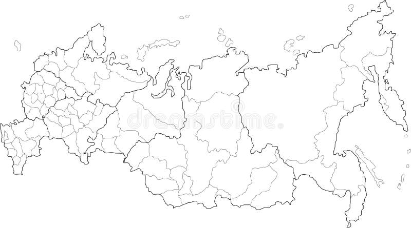
Free with trial Russia map. Vector map of Russia on white background. The Russia map has borders of areas and regions. Territory vectors Russia map. Vector map of Russia on white background. The Russia map has borders of areas and regions
Free with trial Malaysia map designed in illustration with the provinces and the main cities. (Map is hight resolution). Territory vectors Malaysia map. Designed in illustration with the provinces and the main cities. (Map is hight resolution
Free with trial A map of the African continent with each country on the continent colored in bright colors. Names of the countries and their capital are shown on a map too. Continent isolated on a white background. Territory vectors Map of Africa. A map of the African continent with each country on the continent colored in bright colors. Names of the countries and their capital are shown on. A map of the African continent with each country on the continent colored in bright colors. Names of the countries and their capital are shown on a map too. Continent isolated on a white background.
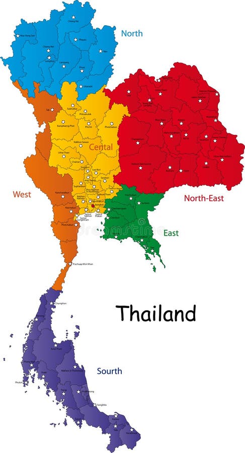
Free with trial Map of Thailand. Thailand map designed in illustration with the regions and provinces with the main cities. (Map is in high resolution. Territory vectors Map of Thailand. Thailand map designed in illustration with the regions and provinces with the main cities. (Map is in high resolution
Free with trial Saudi Arabia map designed in illustration with the provinces and the main cities. Territory vectors Saudi Arabia map. Designed in illustration with the provinces and the main cities
Free with trial Africa blind map. Blind map of Africa with country borders. Names of the countries and their capital are in an additional format (. AI) in the latent layer. Territory vectors Africa blind map. Blind map of Africa with country borders. Names of the countries and their capital are in an additional format (.AI) in the latent layer
Free with trial South Africa map designed in illustration with the provinces and the main cities. Territory vectors South Africa map. Designed in illustration with the provinces and the main cities
Free with trial Vector China map. Green China map with regions colored in green. Vector illustration. Territory vectors Vector China map. Green China map with regions colored in green. Vector illustration
Free with trial Europe Political Map and Roads. Detailed illustration of Europe Map. Territory vectors Europe Political Map and Roads. Detailed illustration of Europe Map
Free with trial Blind map of Australia with country borders. Names of the states and their the main cities are in an additional format (. AI) in the latent layer. Territory vectors Australia blind map. Blind map of Australia with country borders. Names of the states and their the main cities are in an additional format (. AI) in the latent. Blind map of Australia with country borders. Names of the states and their the main cities are in an additional format (. AI) in the latent layer
Free with trial South Africa map designed in illustration with the provinces and the main cities. Territory vectors Map of South Africa. South Africa map designed in illustration with the provinces and the main cities. South Africa map designed in illustration with the provinces and the main cities.
Free with trial Map Mexico. A map of Mexico showing the different provinces in blue tone. Territory vectors Map Mexico. A map of Mexico showing the different provinces in blue tone
Free with trial Map of Italy. A stylized map of Italy showing the different provinces. All isolated on white background. Territory vectors Map of Italy. A stylized map of Italy showing the different provinces. All isolated on white background
Free with trial Map Netherlands. A map of the netherlands showing the different provinces. Territory vectors Map Netherlands. A map of the netherlands showing the different provinces
Free with trial Map Netherlands. A map of the netherlands showing the different provinces in green tone. Territory vectors Map Netherlands. A map of the netherlands showing the different provinces in green tone
Free with trial Pit bull. Easy to resize or change color. Territory vectors Pit bull. Easy to resize or change color
Free with trial Ohio Map. Illustration of the map of the Great State of Ohio, USA. Featuring its main cities, rivers, lakes and the highest peak of the state. Territory vectors Ohio Map. Illustration of the map of the Great State of Ohio, USA. Featuring its main cities, rivers, lakes and the highest peak of the state
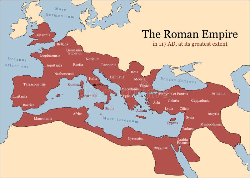
Free with trial The Roman Empire at its greatest extent in 117 AD at the time of Trajan, plus principal provinces. Vector illustration. Territory vectors Roman Empire Provinces. The Roman Empire at its greatest extent in 117 AD at the time of Trajan, plus principal provinces. Vector illustration. The Roman Empire at its greatest extent in 117 AD at the time of Trajan, plus principal provinces. Vector illustration.
Free with trial China map. People's Republic of China map designed in illustration with regions colored in bright colors. Vector illustration. Territory vectors China map. People's Republic of China map designed in illustration with regions colored in bright colors. Vector illustration
Free with trial Indiana Map. Illustration of the map of the Great State of Indiana, USA. Featuring rivers, lakes and the highest peak of the state. Territory vectors Indiana Map. Illustration of the map of the Great State of Indiana, USA. Featuring rivers, lakes and the highest peak of the state
Free with trial Indiana map. Colorful illustrated design of the map of Indiana (USA), including counties and county seats. Isolated against a white background. Territory vectors Indiana map. Colorful illustrated design of the map of Indiana (USA), including counties and county seats. Isolated against a white background
Free with trial Thailand map designed in illustration with the provinces and the main cities. (Map is hight resolution). Territory vectors Thailand map. Designed in illustration with the provinces and the main cities. (Map is hight resolution
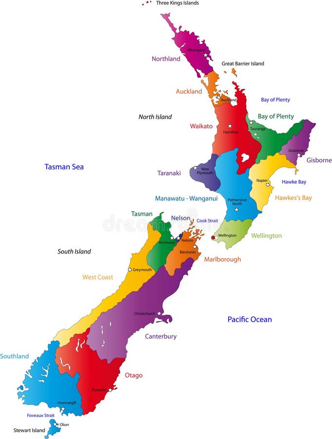
Free with trial New Zealand map with the regions colored in bright colors and with the main cities. Territory vectors New Zealand map. With the regions colored in bright colors and with the main cities
Free with trial South Korea map designed in illustration with the regions colored in bright colors and with the main cities. (Map is hight resolution). Territory vectors South Korea map. Designed in illustration with the regions colored in bright colors and with the main cities. (Map is hight resolution
Free with trial Malaysia map designed in illustration with the provinces and the main cities. (Map is hight resolution). Territory vectors Map of Malaysia. Malaysia map designed in illustration with the provinces and the main cities. (Map is hight resolution. Malaysia map designed in illustration with the provinces and the main cities. (Map is hight resolution)
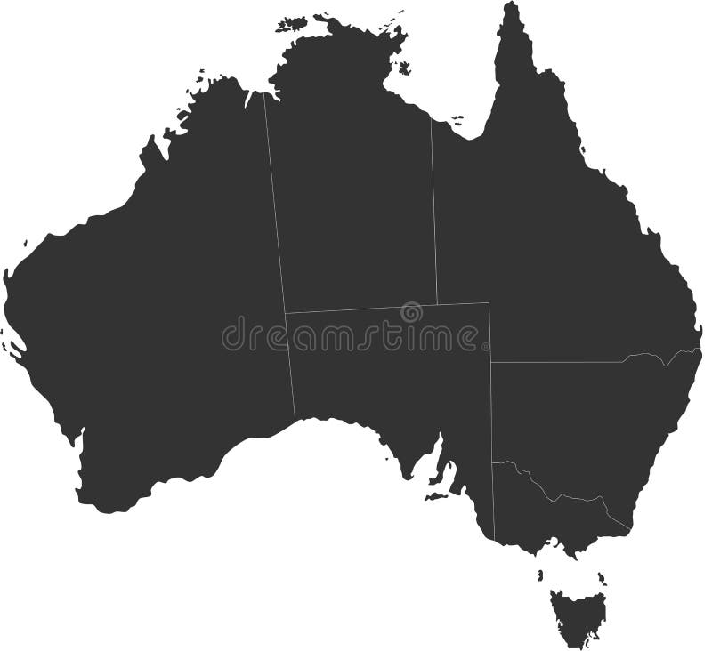
Free with trial A map of the Australian continent with the states on the continent colored in grey colors and the main cities. Territory vectors Map of Australia. A map of the Australian continent with the states on the continent colored in grey colors and the main cities. A map of the Australian continent with the states on the continent colored in grey colors and the main cities.
Free with trial Pit bull warning. Sings easy to resize or change color. Territory vectors Pit bull warning. Sings easy to resize or change color
Free with trial Map of South Korea. South Korea map designed in illustration with the regions colored in bright colors and with the main cities. (Map is hight resolution. Territory vectors Map of South Korea. South Korea map designed in illustration with the regions colored in bright colors and with the main cities. (Map is hight resolution
Free with trial Detailed Map of India. A Detailed Map of India with all states, names and boundaries. Territory vectors Detailed Map of India. A Detailed Map of India with all states, names and boundaries
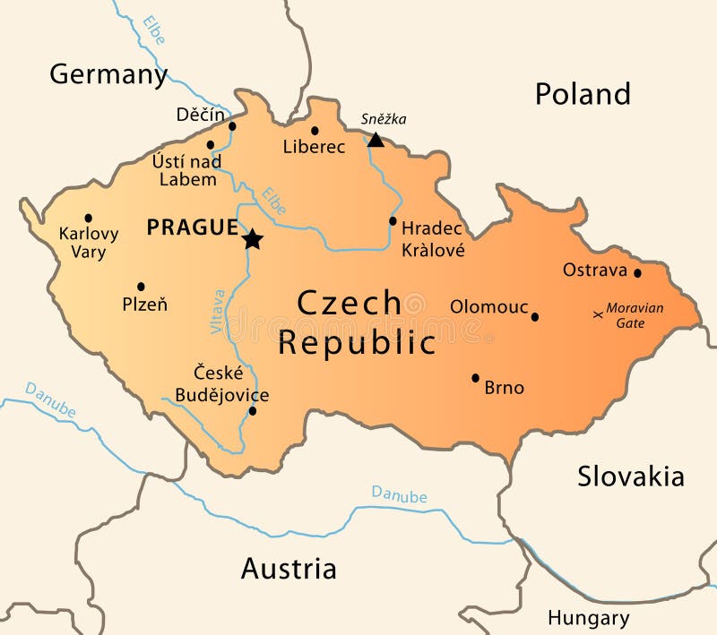
Free with trial Illustration of a detailed political map of Czech Republic. The X indicates the most important gate of the Moravian mountains. Territory vectors Czech Republic political map. Illustration of a detailed political map of Czech Republic. The X indicates the most important gate of the Moravian mountains. Illustration of a detailed political map of Czech Republic. The X indicates the most important gate of the Moravian mountains.
Free with trial Detailed vector shape of the Unites States of America including Alaska and Hawaii. This illustration is based on the maps of www. cia. gov. The states borders are on the separate layer and can be easily removed. Territory vectors USA shape. Detailed vector shape of the Unites States of America including Alaska and Hawaii. This illustration is based on the maps of . The states. Detailed vector shape of the Unites States of America including Alaska and Hawaii. This illustration is based on the maps of www.cia.gov. The states borders are on the separate layer and can be easily removed.
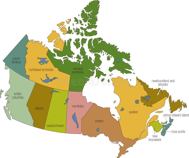
Free with trial Canada 01. A full color map of canada with province names called out. Territory vectors Canada 01. A full color map of canada with province names called out
Free with trial Map of India. An illustrated map of india. Territory vectors Map of India. An illustrated map of india
Free with trial Map of Canada. A detailed map of Canada. Each province/territory is separated into it's own object and is easily isolated. Territory vectors Map of Canada. A detailed map of Canada. Each province/territory is separated into it's own object and is easily isolated
Free with trial US 3D State map. An US State map in Black and White 3D. Territory vectors US 3D State map. An US State map in Black and White 3D
Free with trial Map of Puerto Rico. With three-dimensional variations. Territory vectors Map of Puerto Rico. With three-dimensional variations
Free with trial Vector map of Canada. Vector blue canada map on white with territory and regions isolated. Territory vectors Vector map of Canada. Vector blue canada map on white with territory and regions isolated
Free with trial Map of Alberta, Canada. Detailed Map of Alberta, Canada with several variations. Territory vectors Map of Alberta, Canada. Detailed Map of Alberta, Canada with several variations
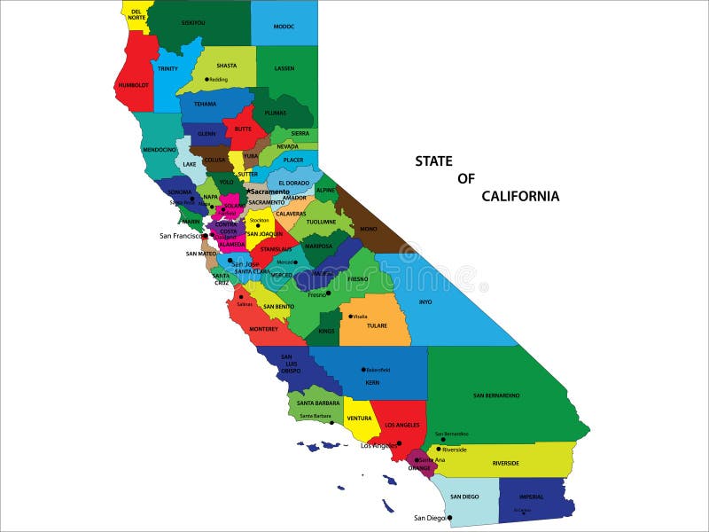
Free with trial State of California map. State of California vector map with counties and main cities. Territory vectors State of California map. State of California vector map with counties and main cities
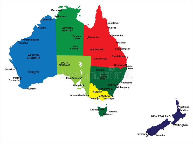
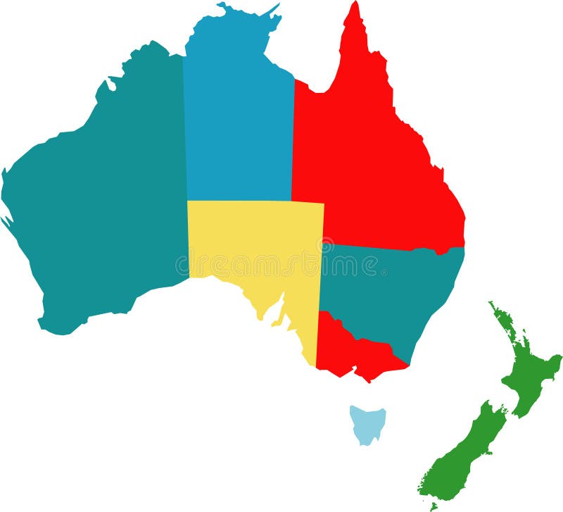
Free with trial Australia and New Zealand. Vector map of Australia and New Zealand with state borders and main cities. Territory vectors Australia and New Zealand. Vector map of Australia and New Zealand with state borders and main cities
Free with trial Regions and districts of Czech republic on vector map. Territory vectors Czech republic vector map. Regions and districts of Czech republic on vector map. Regions and districts of Czech republic on vector map.
Free with trial Map Mexico. A map of Mexico showing the different provinces in green tone. Territory vectors Map Mexico. A map of Mexico showing the different provinces in green tone
Free with trial The Empire of Alexander the Great an his conquest course from Greece to India to Babylon in 334-323 B. C. with towns, provinces and year dates. Isolated vector illustration o black background. Territory vectors Alexander the Great Empire. The Empire of Alexander the Great an his conquest course from Greece to India to Babylon in 334-323 B.C. with towns, provinces and. The Empire of Alexander the Great an his conquest course from Greece to India to Babylon in 334-323 B.C. with towns, provinces and year dates. Isolated vector illustration o black background.
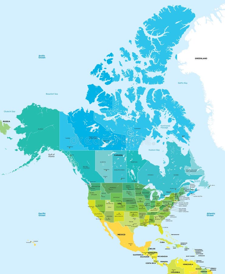
Free with trial Color map of the USA and Canada. Administrative color map of the USA and Canada. Territory vectors Color map of the USA and Canada. Administrative color map of the USA and Canada
Free with trial Color map of China. Administrative vector сolor map of China. Territory vectors Color map of China. Administrative vector сolor map of China
Free with trial Vector red map of Canada with state boundaries, isolated on white background. Territory vectors Canada Map (separable by province). Vector red map of Canada with state boundaries, isolated on white background. Vector red map of Canada with state boundaries, isolated on white background.
Free with trial Map of provinces and territories of Canada. Detailed map of administrative divisions of Canada. Territory vectors Map of provinces and territories of Canada. Detailed map of administrative divisions of Canada
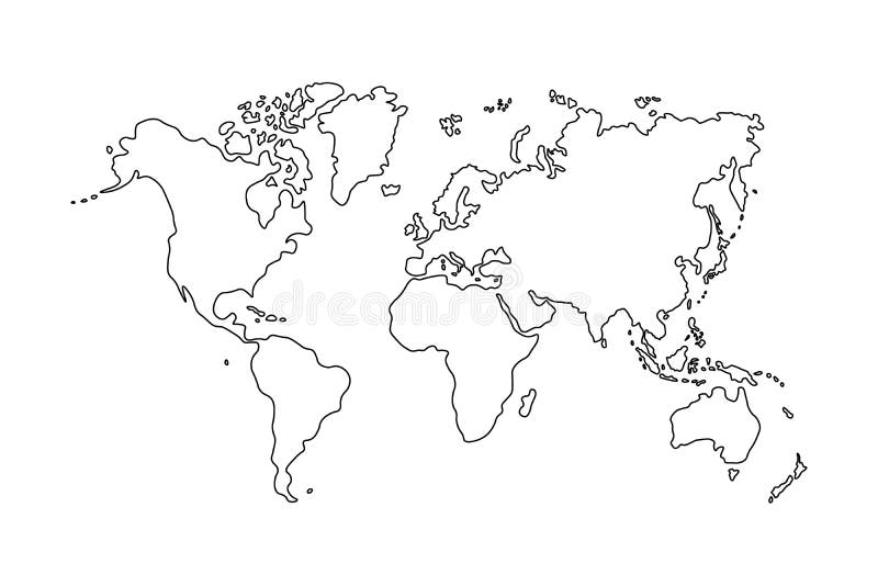
Free with trial Outline of world map on white background. Territory vectors Outline of world map on white background
Free with trial Australia. Vector map of australia counties. Territory vectors Australia. Vector map of australia counties
Free with trial Canada 02. A basic map of canada with water in blue and land in green. Territory vectors Canada 02. A basic map of canada with water in blue and land in green
Free with trial Antique signboard - Ready for Your Label. Vector illustration. Territory vectors Viveska big. Antique signboard - Ready for Your Label. Vector illustration. Antique signboard - Ready for Your Label. Vector illustration.
Free with trial Vector urban motifs/ stencils. Territory vectors Urban imagery. Vector urban motifs/ stencils. Vector urban motifs/ stencils.
Free with trial A woman with spray can, all blends and gradients no meshes. Territory vectors Graffiti Girl. A woman with spray can, all blends and gradients no meshes. A woman with spray can, all blends and gradients no meshes.
Free with trial Map South Korea. A map of South Korea showing the different provinces in blue tone. Territory vectors Map South Korea. A map of South Korea showing the different provinces in blue tone
Free with trial A stylized map of South Africa showing the different provinces. All isolated on white background. Territory vectors Map of South Africa. A stylized map of South Africa showing the different provinces. All isolated on white background. A stylized map of South Africa showing the different provinces. All isolated on white background.
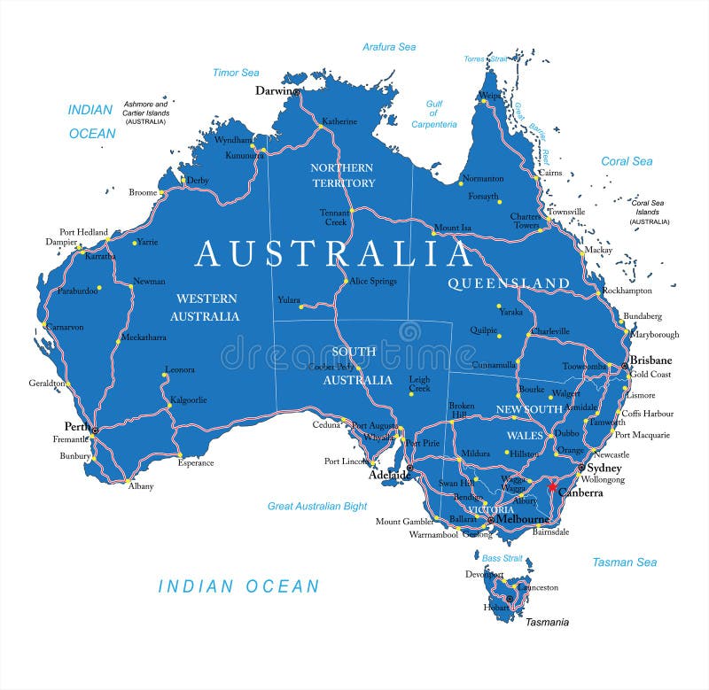
Free with trial Highly detailed vector map of Australia with administrative regions, main cities and roads. Territory vectors Australia road map. Highly detailed vector map of Australia with administrative regions, main cities and roads. Highly detailed vector map of Australia with administrative regions, main cities and roads.
Free with trial Map of Ontario, Canada. Detailed Map of Ontario, Canada with several variations. Territory vectors Map of Ontario, Canada. Detailed Map of Ontario, Canada with several variations
Free with trial Vector Blank Wood Sign... add your own text! Enjoy. Territory vectors Vector Blank Wood Sign. Add your own text! Enjoy
Free with trial India map. Color India map with regions over white. Territory vectors India map. Color India map with regions over white
Free with trial Illustration of Australia and its territories. Brown tones isolated on white background. Territory vectors Australia Map Illustration. Illustration of Australia and its territories. Brown tones isolated on white background. Illustration of Australia and its territories. Brown tones isolated on white background.
Free with trial 3D Map of United state of america. Territory vectors 3D Map of United state of america.
Free with trial Neighbourhood town with school abuildings and trees (sitting around illusion of globe). Territory vectors Stylized Neighborhood around globe. Neighbourhood town with school abuildings and trees (sitting around illusion of globe. Neighbourhood town with school abuildings and trees (sitting around illusion of globe)
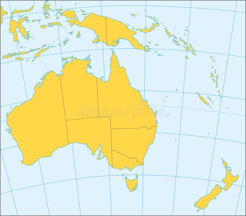
Free with trial Political map of Australia and Oceania with coordinates, present states borders, detailed vector map. Territory vectors Australia and Oceania political map. Political map of Australia and Oceania with coordinates, present states borders, detailed vector map. Political map of Australia and Oceania with coordinates, present states borders, detailed vector map.
Free with trial Australian landscape. Black silhouette of trees and kangaroo on white background. The nature of Australia. Isolated vector graphic. Territory vectors Australian landscape. Black silhouette of trees and kangaroo on white background. The nature of Australia. Isolated vector graphic
Free with trial The Ottoman Empire at its greatest extent in 1683, and Turkey today. Vector illustration. Territory vectors Ottoman Empire Turkey. The Ottoman Empire at its greatest extent in 1683, and Turkey today. Vector illustration. The Ottoman Empire at its greatest extent in 1683, and Turkey today. Vector illustration.
Free with trial Fairy-tale house in yard with wooden fence. Illustration isolated on white background. Territory vectors Fairy-tale house in yard with wooden fence. Illustration isolated on white background
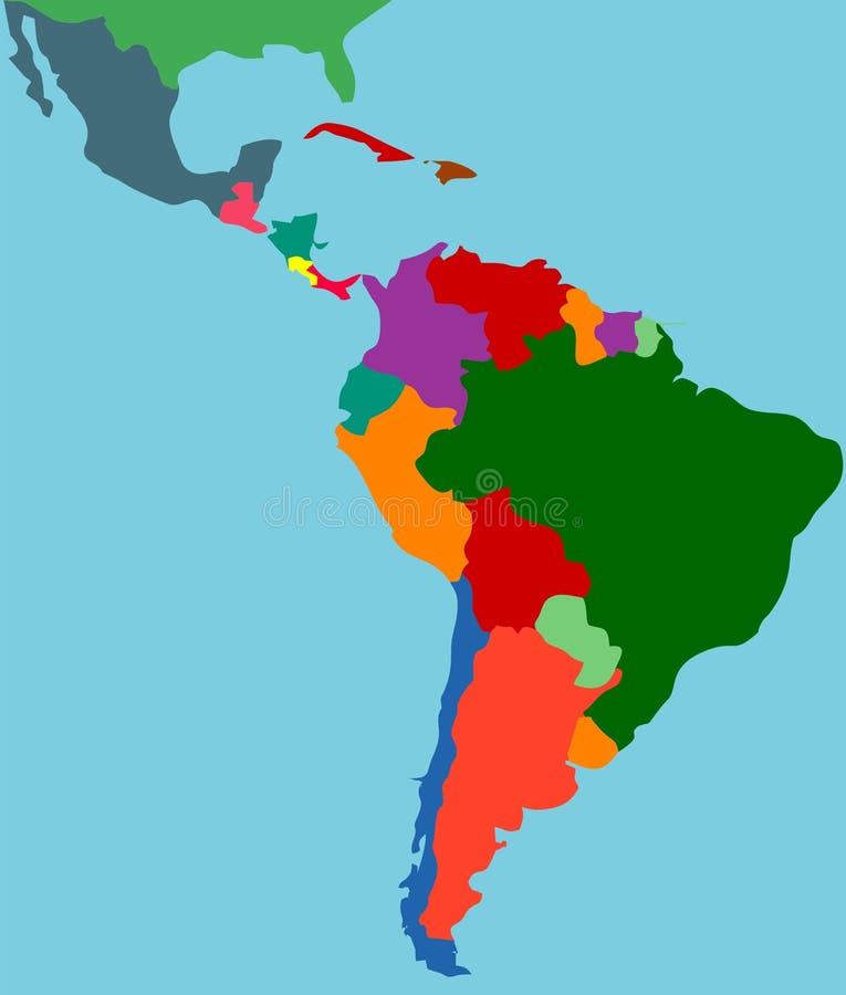
Free with trial The name Latin America was introduced by the French Emperor Napoleon III as a political term. Latin America and Indochina were considered while in the territory of the specific national interests of the Second Empire. This term originally meant those parts of America, which speak Romance languages, that is, the territory inhabited by people from the Iberian Peninsula and France during the XV-XVI centuries. Territory vectors Latin America. The name Latin America was introduced by the French Emperor Napoleon III as a political term. Latin America and Indochina were considered while in. The name Latin America was introduced by the French Emperor Napoleon III as a political term. Latin America and Indochina were considered while in the territory of the specific national interests of the Second Empire. This term originally meant those parts of America, which speak Romance languages, that is, the territory inhabited by people from the Iberian Peninsula and France during the XV-XVI centuries.
Free with trial Flat simple Brazil map, vector background illustration. Territory vectors Flat simple Brazil map. Vector background illustration
Free with trial High detailed Australia physical map with labeling. clearly labeled, separated layers, vector illustration. Territory vectors High detailed Australia physical map with labeling. Clearly labeled, separated layers, vector illustration
 Sign in