Free with trial Black Location Map of Welsh County of Swansea within Grey Map of Wales. Carmarthenshire county vectors Location Map of Swansea County. Black Location Map of Welsh County of Swansea within Grey Map of Wales
Free with trial Black Location Map of Welsh County of Cardiff within Grey Map of Wales. Carmarthenshire county vectors Location Map of Cardiff County. Black Location Map of Welsh County of Cardiff within Grey Map of Wales
Free with trial Carmarthenshire Wales map with Welsh national flag illustration. Carmarthenshire county vectors Carmarthenshire Wales map with Welsh national flag
Free with trial Carmarthenshire outline map. Carmarthenshire county blank outline map. Carmarthenshire county vectors Carmarthenshire outline map. Carmarthenshire county blank outline map
Free with trial Carmarthenshire blank outline map set. Carmarthenshire county vectors Carmarthenshire outline map. Carmarthenshire blank outline map set
Free with trial Black Location Map of Welsh County of Carmarthenshire within Grey Map of Wales. Carmarthenshire county vectors Location Map of Carmarthenshire County. Black Location Map of Welsh County of Carmarthenshire within Grey Map of Wales
Free with trial Harmsworth`s Universal Encyclopedia 1940s. Carmarthenshire, Wales: Map of the largest county in Wales, mainly a rich agricultural district. Carmarthenshire is a unitary authority in southwest Wales, and one of the historic counties of Wales. The three largest towns are Llanelli, Carmarthen and Ammanford. Carmarthen is the county town and administrative centre. Carmarthenshire county illustrations Vintage map of Carmarthenshire 1900s. Harmsworth`s Universal Encyclopedia 1940s. Carmarthenshire, Wales: Map of the largest county in Wales, mainly a rich agricultural district. Carmarthenshire is a unitary authority in southwest Wales, and one of the historic counties of Wales. The three largest towns are Llanelli, Carmarthen and Ammanford. Carmarthen is the county town and administrative centre.
Free with trial Carmarthenshire United Kingdom, Wales, Cymru, Principal areas of Wales map vector illustration, scribble sketch County of Carmarthenshire map. Carmarthenshire county vectors Carmarthenshire map vector. Carmarthenshire United Kingdom, Wales, Cymru, Principal areas of Wales map vector illustration, scribble sketch County of Carmarthenshire map
Free with trial Carmarthenshire United Kingdom, Wales, Cymru, Principal areas of Wales map vector illustration, scribble sketch County of Carmarthenshire map. Carmarthenshire county vectors Carmarthenshire map vector. Carmarthenshire United Kingdom, Wales, Cymru, Principal areas of Wales map vector illustration, scribble sketch County of Carmarthenshire map
Free with trial Carmarthenshire United Kingdom, Wales, Cymru, Principal areas of Wales map vector illustration, scribble sketch County of Carmarthenshire map. Carmarthenshire county vectors Carmarthenshire map vector. Carmarthenshire United Kingdom, Wales, Cymru, Principal areas of Wales map vector illustration, scribble sketch County of Carmarthenshire map
Free with trial Black Location Map of Welsh County Borough of Bridgend within Grey Map of Wales. Carmarthenshire county vectors Location Map of Bridgend County Borough. Black Location Map of Welsh County Borough of Bridgend within Grey Map of Wales
Free with trial Black Location Map of Welsh County Borough of Rhondda Cynon Taf within Grey Map of Wales. Carmarthenshire county vectors Location Map of Rhondda Cynon Taf County Borough. Black Location Map of Welsh County Borough of Rhondda Cynon Taf within Grey Map of Wales
Free with trial Black Location Map of Welsh County Borough of Caerphilly within Grey Map of Wales. Carmarthenshire county vectors Location Map of Caerphilly County Borough. Black Location Map of Welsh County Borough of Caerphilly within Grey Map of Wales
Free with trial Carmarthenshire red highlighted in map of Wales illustration. Carmarthenshire county illustrations Carmarthenshire red highlighted in map of Wales
Free with trial Modern Map - Carmarthenshire Wales UK illustration. Carmarthenshire county illustrations Modern Map - Carmarthenshire Wales UK
Free with trial Black Location Map of Welsh County Borough of Torfaen within Grey Map of Wales. Carmarthenshire county vectors Location Map of Torfaen County Borough. Black Location Map of Welsh County Borough of Torfaen within Grey Map of Wales
Free with trial Black Location Map of Welsh County Borough of Blaenau Gwent within Grey Map of Wales. Carmarthenshire county vectors Location Map of Blaenau Gwent County Borough. Black Location Map of Welsh County Borough of Blaenau Gwent within Grey Map of Wales
Free with trial Black Location Map of Welsh County Borough of Vale of Glamorgan within Grey Map of Wales. Carmarthenshire county vectors Location Map of Vale of Glamorgan County Borough. Black Location Map of Welsh County Borough of Vale of Glamorgan within Grey Map of Wales
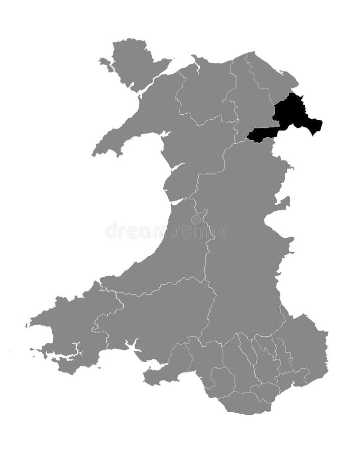
Free with trial Black Location Map of Welsh County Borough of Wrexham within Grey Map of Wales. Carmarthenshire county vectors Location Map of Wrexham County Borough. Black Location Map of Welsh County Borough of Wrexham within Grey Map of Wales
Free with trial Carmarthenshire watercolor principal area map of Wales illustration. Carmarthenshire county illustrations Carmarthenshire watercolor principal area map of Wales
Free with trial Carmarthenshire WALES UK principal area map with Coronavirus warning illustration. Carmarthenshire county vectors Carmarthenshire WALES UK principal area map with Coronavirus warning illustration