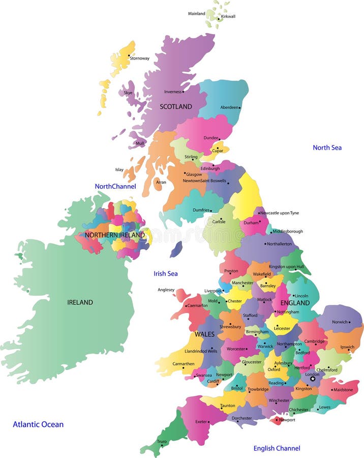
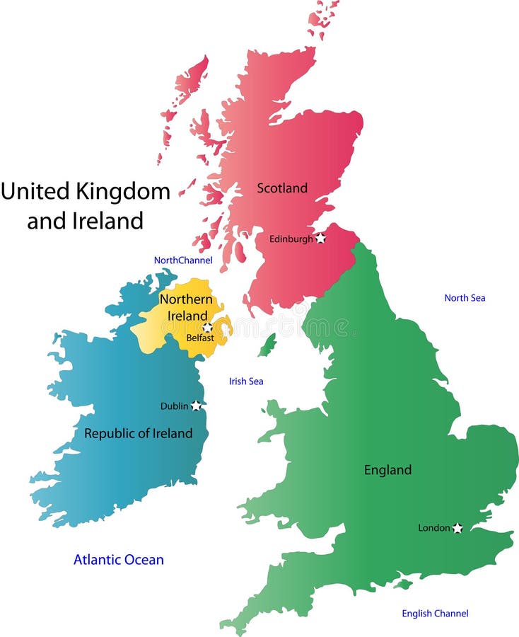
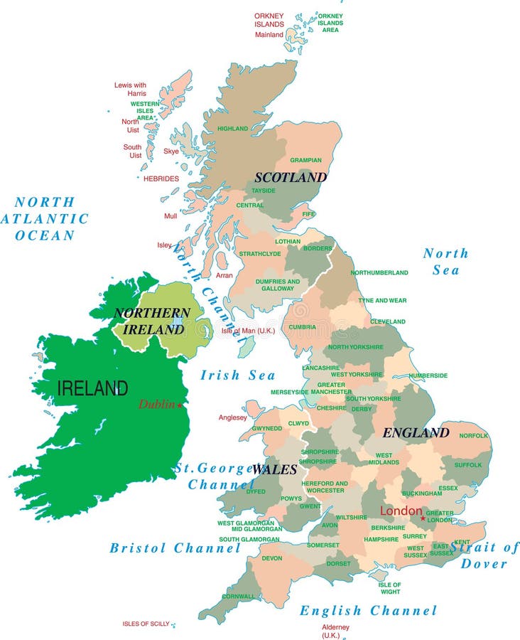
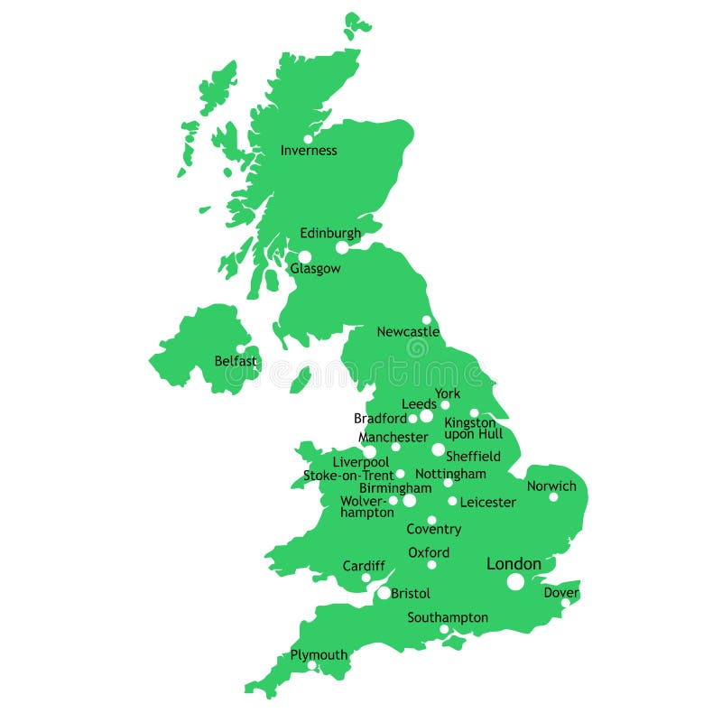
Free with trial A map of the UK with the regions on the continent colored in bright colors and the main cities. Continent isolated on a white background. Great britain vectors UK and Ireland map. A map of the UK with the regions on the continent colored in bright colors and the main cities. Continent isolated on a white background.
Free with trial Set of the simple icons representing popular travel destinations. Great britain vectors Vector travel destinations icon set. Set of the simple icons representing popular travel destinations
Free with trial Great Britain outline map with shadow. Detailed, Mercator projection. Great britain illustrations Great Britain map with shadow. Great Britain outline map with shadow. Detailed, Mercator projection.
Free with trial Abstract red grunge rubber stamp with the name of Great Britain written inside the stamp. Great britain vectors Great Britain rubber stamp. Abstract red grunge rubber stamp with the name of Great Britain written inside the stamp
Free with trial City skyline set. Great Britain. Vector silhouette illustration. Great britain vectors City skyline set. 10 cities of Great Britain #1. City skyline set. Great Britain. Vector silhouette illustration.
Free with trial Abstract vector color map of Great Britain country. Great britain vectors Great Britain
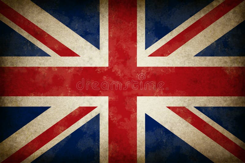
Free with trial Grunge Great Britain Flag as an old vintage British symbol of patriotism and English culture on an antique textured United Kingdom government and political icon created to support England Scotland and Whales. Great britain illustrations Grunge Great Britain Flag
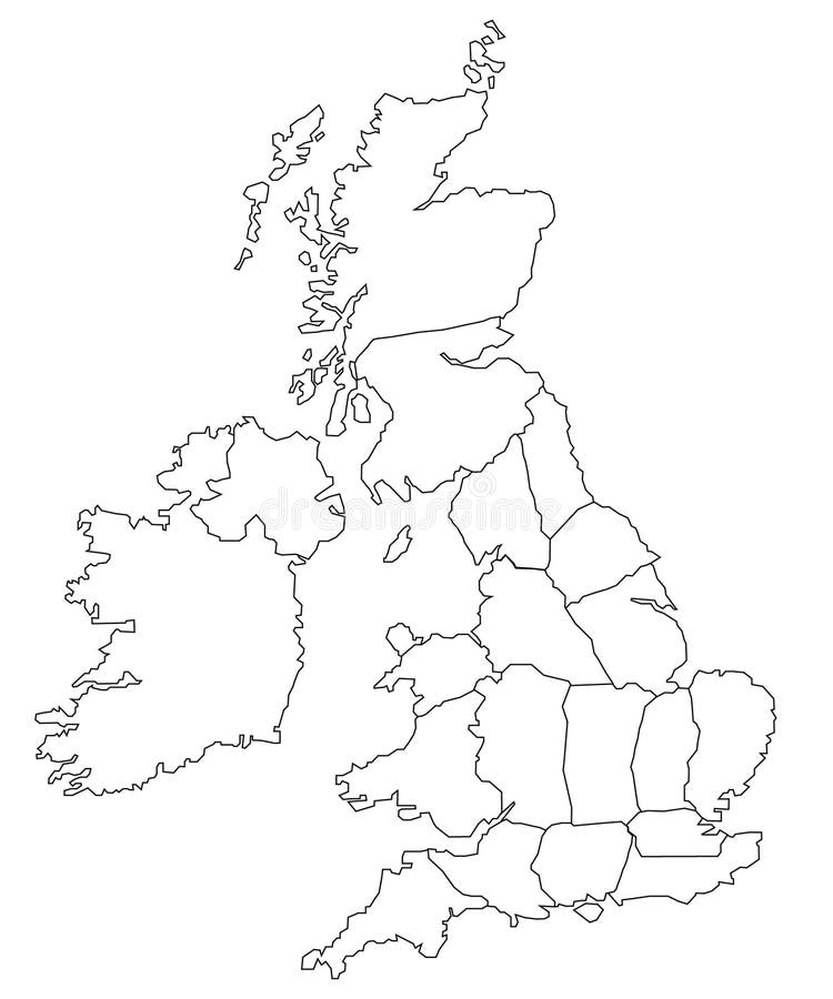
Free with trial Outline map of great britain, uk. Great britain illustrations Outline map of great britain
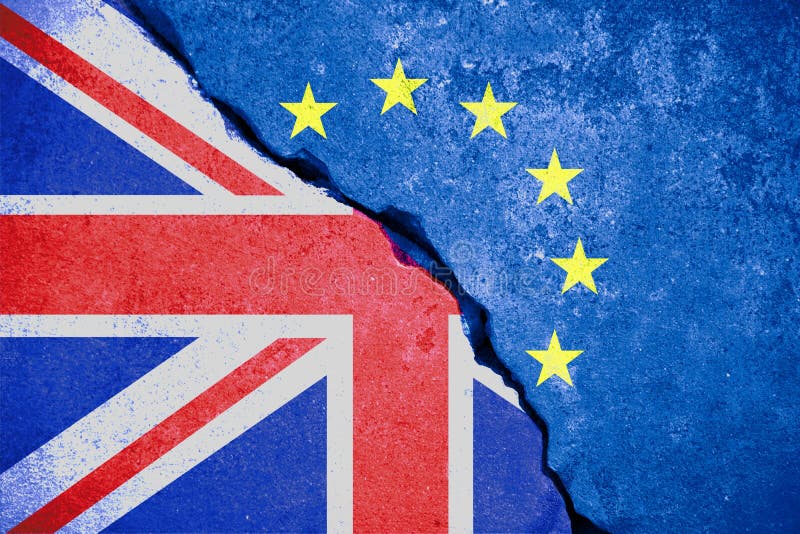
Free with trial Brexit blue european union EU flag on broken wall and half great britain flag, vote for united kingdom exit concept. Great britain illustrations Brexit blue european union EU flag on broken wall and half great britain flag
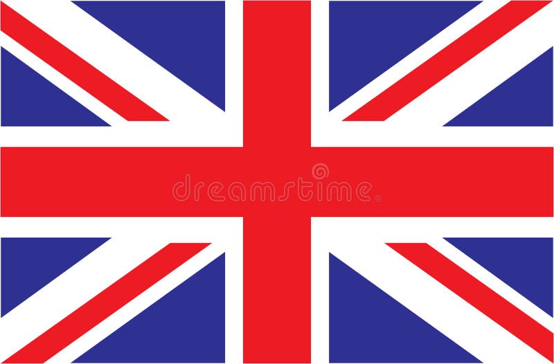
Free with trial Official flag of United Kingdom of Great Britain and Northern Ireland. UK flag aka Union Jack. Vector illustration. Great britain vectors Official flag of United Kingdom of Great Britain and Northern Ireland. UK flag aka Union Jack. Vector illustration
Free with trial Rubber grunge stamp London Great Britain, Big Ben tower and British flag vector. Great britain vectors Rubber grunge stamp London Great Britain
Free with trial Original 1870 Antique Map of the British Isles including England, Scotland, Ireland, Wales and two nice vignettes of London. Great britain illustrations Antique 1870 Map of Great Britain and Ireland. Original 1870 Antique Map of the British Isles including England, Scotland, Ireland, Wales and two nice vignettes of London.
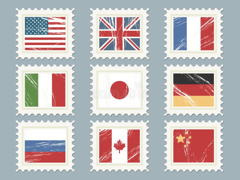
Free with trial A collection of nine flag stamps, usa, great britain, france, italy, japan, germany, russia, canada, china. Great britain vectors Flag stamps set 1. A collection of nine flag stamps, usa, great britain, france, italy, japan, germany, russia, canada, china.
Free with trial Cartoon Maps of Britain and Ireland for child. Great britain vectors Maps of Britain and Ireland
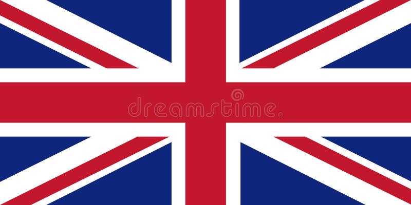
Free with trial Union Jack flag of the UK, Great Britain. Great britain illustrations UK flag. Union Jack flag of the UK, Great Britain
Free with trial Vector flag of GREAT BRITAIN by dirty brush. Great britain vectors Vector flag by dirty brush. Vector flag of GREAT BRITAIN by dirty brush
Free with trial Flag of Great Britain - high resolution detail of the british flag. Great britain illustrations British Flag
Free with trial Many London Icons Landmarks and attractions in a crown shape. Great britain vectors London Great Britain Icons Landmarks and attractio. Many London Icons Landmarks and attractions in a crown shape
Free with trial UK. Union Jack. Flag of United Kingdom. Official colors. Correct proportion. Vector illustration. The British flag is flying in the wind. Colorful, national flag of Great Britain. Patriotism. Great britain illustrations UK. Union Jack. Flag of United Kingdom. Official colors. Correct proportion.
Free with trial Flag of United Kingdom of Great Britain and Northern Ireland. Union Jack background. Royal Union Flag symbol. Canton at flags of Australia, New Zealand, Tuvalu, Cook Islands, Fiji. Great britain vectors Union Jack flag. Flag of United Kingdom of Great Britain and Northern Ireland. Union Jack background. Royal Union Flag symbol. Canton at flags of Australia, New Zealand, Tuvalu, Cook Islands, Fiji.
Free with trial UK. Union Jack. Flag of United Kingdom. Official colors. Correct proportion. Vector illustration. The British flag is flying in the wind. Colorful, national flag of Great Britain. Patriotism. Great britain illustrations UK. Union Jack. Flag of United Kingdom. Official colors. Correct proportion. Vector illustration. The British flag is flying in th
Free with trial Illustration of an imaginary skyline of the world with a lot of famous monumentas: Liberty Statue (USA), Toru Eiffel (France), Pantheon (Rome, Italy), Empire State Building (USA), Christ Statue of Rio (Brazil), Brooklyn Bridge (USA), Big Ben (Great Britain) and Coliseum (Rome, Italy). Great britain vectors Skyline of the world landmarks. Illustration of an imaginary skyline of the world with a lot of famous monumentas: Liberty Statue (USA), Toru Eiffel (France), Pantheon (Rome, Italy), Empire State Building (USA), Christ Statue of Rio (Brazil), Brooklyn Bridge (USA), Big Ben (Great Britain) and Coliseum (Rome, Italy).
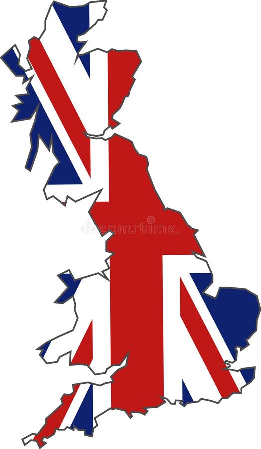
Free with trial Map of Britain and the union jack illustration. Great britain vectors British Flag Map. Map of Britain and the union jack illustration
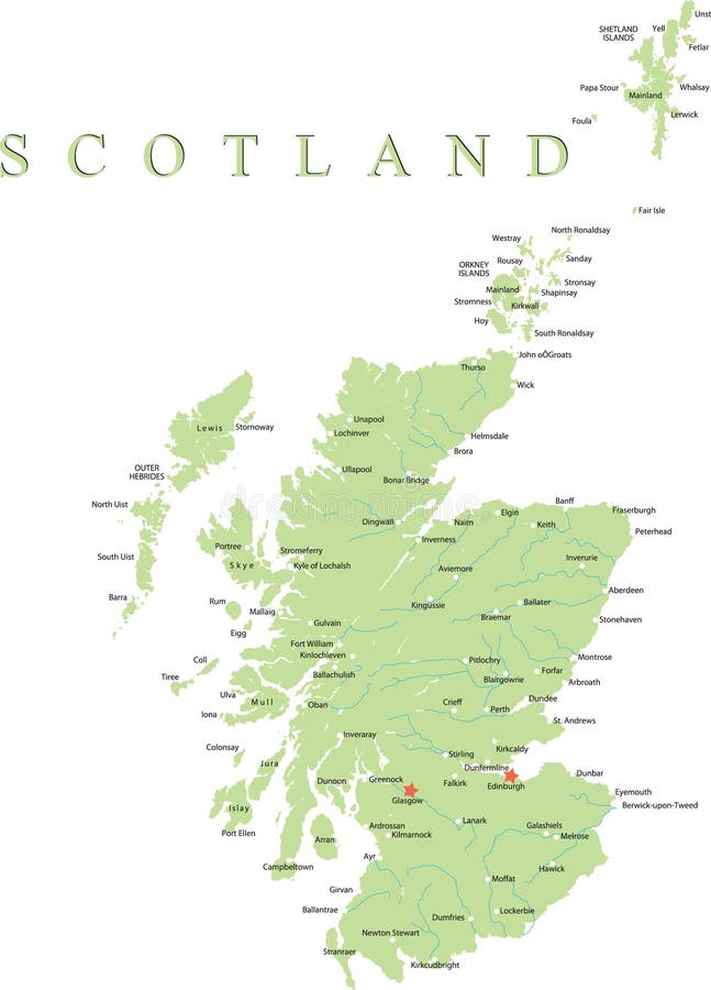
Free with trial Scotland is divided into 32 areas designated as council areas which are all governed by unitary authorities designated as councils. Great britain vectors Scotland map. Scotland is divided into 32 areas designated as council areas which are all governed by unitary authorities designated as councils.
Free with trial Administrative Wales map which is divided into 22 unitary authority areas. Great britain vectors Wales map
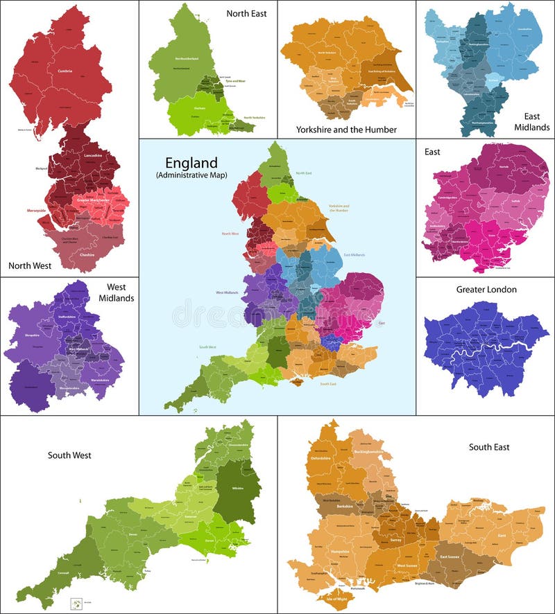
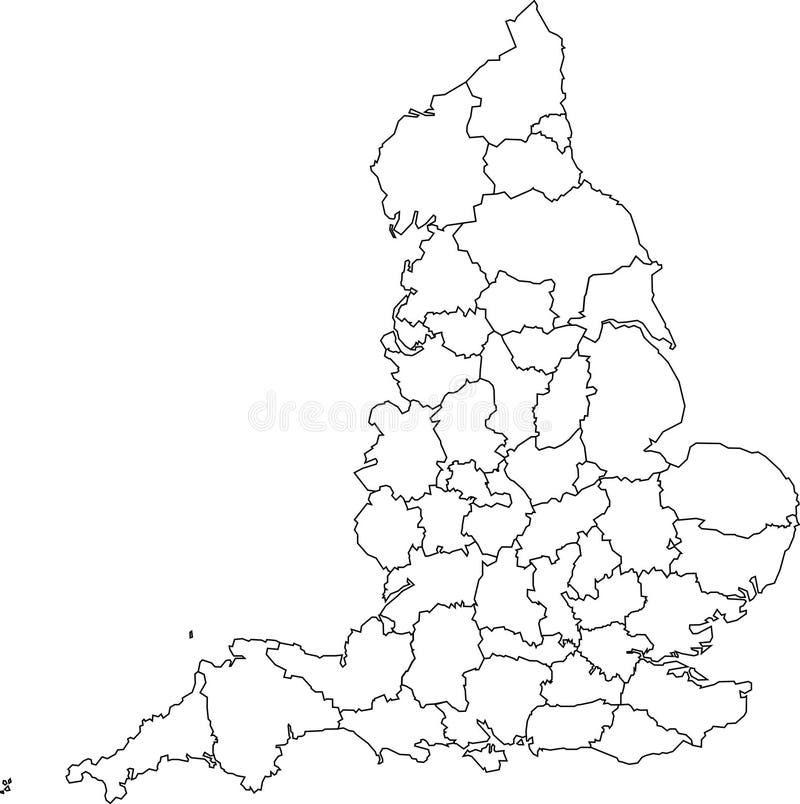
Free with trial The map shows the current subdivisions of England with a principal local authority: two-tier non-metropolitan counties and their non-metropolitan districts, metropolitan boroughs, unitary authorities, London boroughs and the sui generis City of London and Isles of Scilly. Great britain vectors England map. The map shows the current subdivisions of England with a principal local authority: two-tier non-metropolitan counties and their non-metropolitan districts, metropolitan boroughs, unitary authorities, London boroughs and the sui generis City of London and Isles of Scilly
Free with trial Illustration of a detailed political map of Jamaica, with its main cities, mountains and rivers. Great britain vectors Jamaica map. Illustration of a detailed political map of Jamaica, with its main cities, mountains and rivers.
Free with trial Illustration of a detailed political map of New Zealand. Great britain vectors New Zealand map. Illustration of a detailed political map of New Zealand.
Free with trial Uk and ireland map designed in illustration with the regions on the continent colored in bright colors and the main cities. Great britain vectors UK and Ireland map
Free with trial Scotland map part of the United Kingdom. Great britain vectors Scotland map. Scotland map part of the United Kingdom.
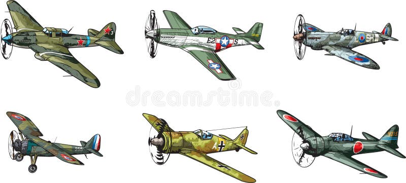
Free with trial Vector collection of military aircraft of World War II. Great britain vectors WW2 aircraft. Vector collection of military aircraft of World War II.
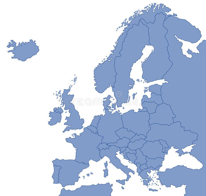
Free with trial Map of Europe with national borders and country names. Pseudo-3d illustration. Great britain vectors 3d map of Europe. Map of Europe with national borders and country names. Pseudo-3d illustration.
Free with trial A scottish knights ghost returns to his castle in the highlands. Great britain illustrations Scottish ghost. A scottish knights ghost returns to his castle in the highlands.
Free with trial Illustration of four different versions and angles of a red English double-decker bus. Isolated against a gray background. Great britain vectors Double-decker bus
Free with trial A blank map of England featuring geographical counties (also known as ceremonial counties or Lieutenancy Areas). Great britain vectors Blank map of England - counties. A blank map of England featuring geographical counties (also known as ceremonial counties or Lieutenancy Areas)
Free with trial What's on your network. With the production of smaller mobile computers like Apple iPads and larger capacity iPhones it it now possible to these these to brows the internet and get a lot of things done on the move rather than having to wait to access the internet with a high capacity desktop computer. More people are using central servers to store items that can be accesses on the move. It is now possible to store photo images on servers that flickr host or video on you tube and myspace and put links in emails or on world social networks like Twitter and Facebook so your friends and work mates can keep up with you. Plus, myspace is now more easy to access and keep up with your items and skype or ichat conferencing also helps to keep face to face communications instant. So now that computer items are getting smaller and more mobile it is possible with bluetooth and wi-fi to access the internet using your favourite browser like google chrome firefox or safari and using search engines like yahoo to have all the information you need instantly and keep all your favorite network apps in one place. Great britain illustrations What's on your Network
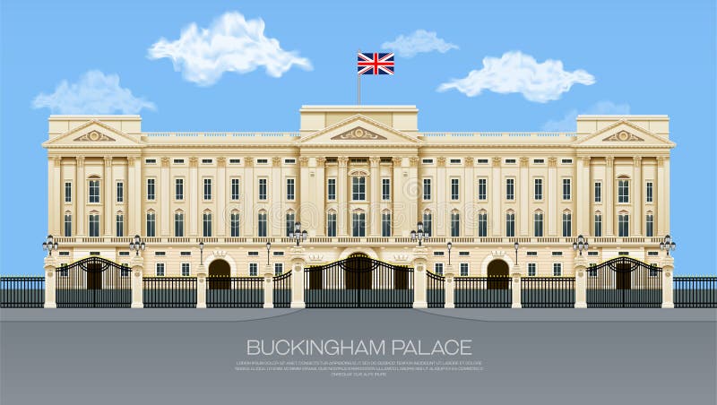
Free with trial England buckingham palace with cloud mesh gradient object vector illustration. Great britain vectors England buckingham palace
Free with trial A cartoon drawing of Sherlock Holmes examining through a magnifying glass. Great britain vectors Sherlock Holmes cartoon vector. A cartoon drawing of Sherlock Holmes examining through a magnifying glass.
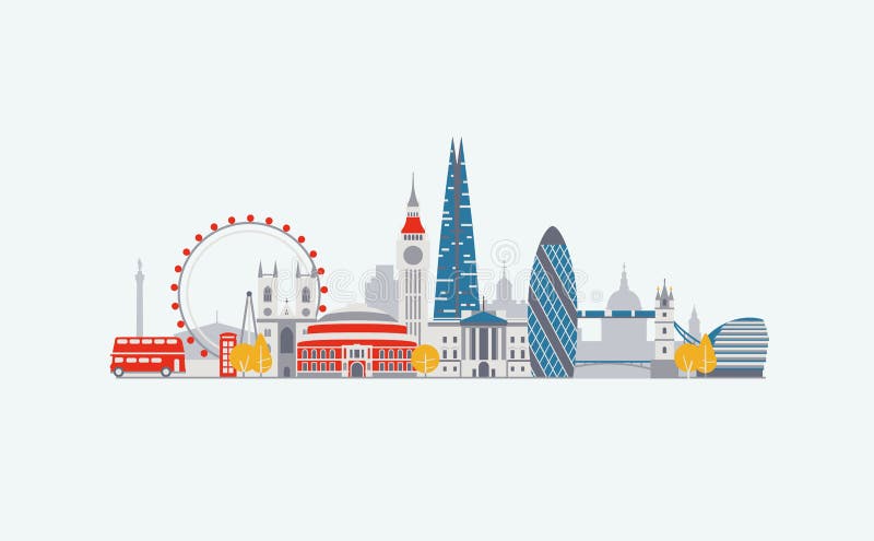
Free with trial Illustration of London symbols and landmarks. Great britain vectors London View. Illustration of London symbols and landmarks.
Free with trial Illustration of the british isles in different shades of green isolated from the background. Great britain vectors Uk map green. Illustration of the british isles in different shades of green isolated from the background
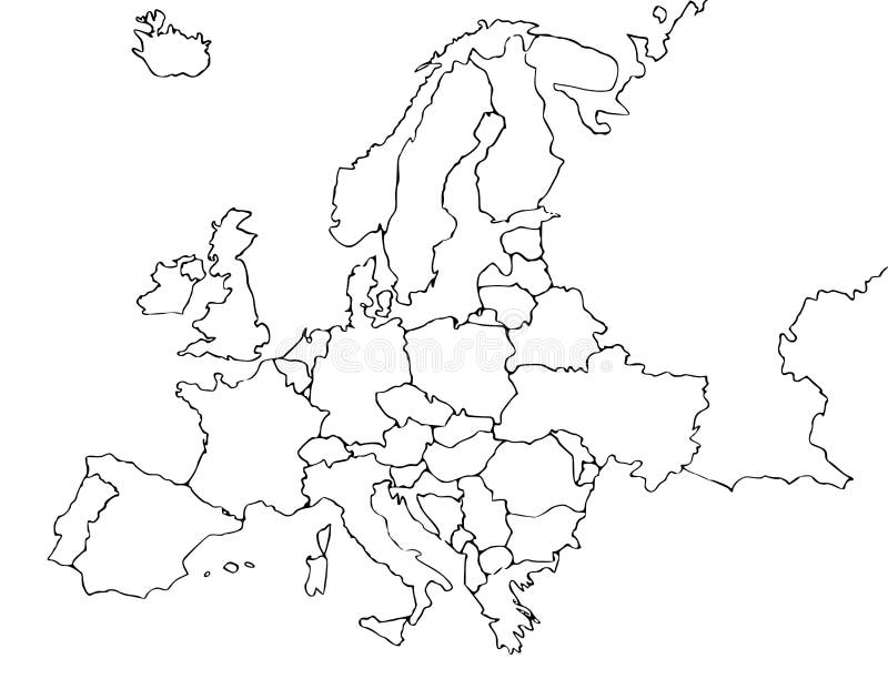
Free with trial Illustration of map of Europe showing country borders. Great britain illustrations Map of Europe
Free with trial Vectored illustration of the city of edinburgh in scotland, with famous landmarks as the castle. Great britain vectors Edinburgh skyline vector isolated. Vectored illustration of the city of edinburgh in scotland, with famous landmarks as the castle
Free with trial An illustration of London city skyline. Great britain vectors London Skyline. An illustration of London city skyline
Free with trial Uk map isolated on white background Vector. Great britain vectors Uk map isolated. Uk map isolated on white background Vector
Free with trial Blank europe map isolated on blue background. Great britain vectors Blank europe map. Blank europe map isolated on blue background.
Free with trial Vector illustration of London skyline at sunset with reflection on the Thames. Great britain vectors London at sunset. Vector illustration of London skyline at sunset with reflection on the Thames
Free with trial A map of the UK with postcode areas identified and coloured, created within Adobe Illustrator CS2 and can be edited. Continent placed on a white background. Great britain vectors Postcode Map of UK. A map of the UK with postcode areas identified and coloured, created within Adobe Illustrator CS2 and can be edited. Continent placed on a white background.
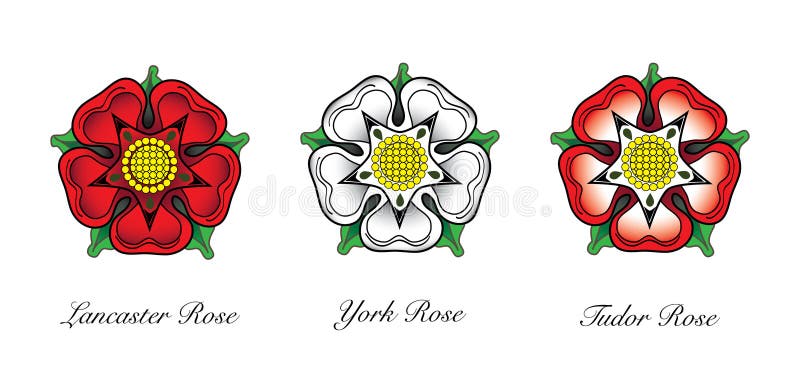
Free with trial Representaions or english Rose emlems. Following the War of the Roses, the red rose of the house of Lancaster and the White rose of the house of York combined to make the dual coloured Tudor rose. Great britain vectors English Rose Emblem. Representaions or english Rose emlems. Following the War of the Roses, the red rose of the house of Lancaster and the White rose of the house of York combined to make the dual coloured Tudor rose.
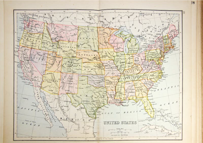
Free with trial Historical map of USA. Photo from atlas published in 1879 in Great Britain. Great britain illustrations Historical map of USA
Free with trial Historical map of Canada. Photo from atlas published in 1879 in Great Britain. Great britain illustrations Historical map of Canada
Free with trial Apps are a must for all mobile phones and are available from the Apple Apps Store and other various popular media organisations including Facebook, Youtube, Twitter, Flickr and Skype. They allow you to keep in touch while on the move allowing access from all around the world to paypal, ebay, myspace, travel news, flight information and much more. Apple with the iPhone in black or white finish are the company who seem to be driving the demand for this type of technology. Features Apple iphone 4S. Great britain illustrations What's apps are on your mobile network today?. Apps are a must for all mobile phones and are available from the Apple Apps Store and other various popular media organisations including Facebook, Youtube, Twitter, Flickr and Skype. They allow you to keep in touch while on the move allowing access from all around the world to paypal, ebay, myspace, travel news, flight information and much more. Apple with the iPhone in black or white finish are the company who seem to be driving the demand for this type of technology. Features Apple iphone 4S
Free with trial Apps are a must for all mobile phones and are available from the Apple Apps Store and other various popular media organisations including Facebook, Youtube, Twitter, Flickr and Skype. They allow you to keep in touch while on the move allowing access from all around the world to paypal, ebay, myspace, travel news, flight information and much more. Apple with the iPhone in black or white finish are the company who seem to be driving the demand for this type of technology and with the introduction of Apple iCloud the digital data on all mobile and static computer technology networks can be coordinated and synchronized. Features here are two Apple media iphone 4S with apps in a circle around them. Great britain illustrations What's apps are on your mobile phone network?. Apps are a must for all mobile phones and are available from the Apple Apps Store and other various popular media organisations including Facebook, Youtube, Twitter, Flickr and Skype. They allow you to keep in touch while on the move allowing access from all around the world to paypal, ebay, myspace, travel news, flight information and much more. Apple with the iPhone in black or white finish are the company who seem to be driving the demand for this type of technology and with the introduction of Apple iCloud the digital data on all mobile and static computer technology networks can be coordinated and synchronized . Features here are two Apple media iphone 4S with apps in a circle around them.
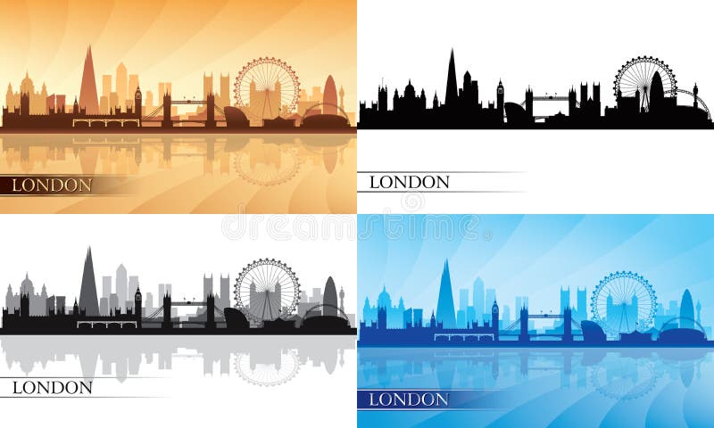
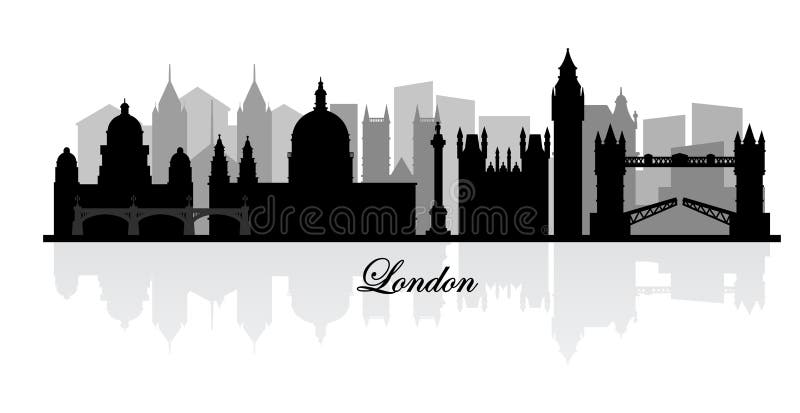
Free with trial London city skyline silhouette set, vector illustration. Great britain vectors London city skyline silhouette set
Free with trial Hand drawn black and white illustration of London. Great britain vectors Seamless banner of London's skyline. Hand drawn black and white illustration of London
Free with trial Seamless pattern with symbols of cities New York, London, Paris on the black background. Great britain vectors Black seamless pattern with popular cities. Seamless pattern with symbols of cities New York, London, Paris on the black background
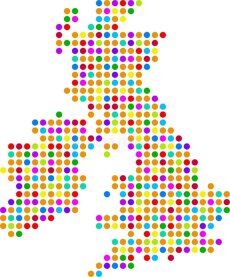
Free with trial Polka dot map of the united Kingdom. Great britain illustrations Uk dot map. Polka dot map of the united Kingdom
Free with trial London phone booth isolated on white photo-realistic vector illustration. Great britain vectors London phone booth isolated on white vector. London phone booth isolated on white photo-realistic vector illustration
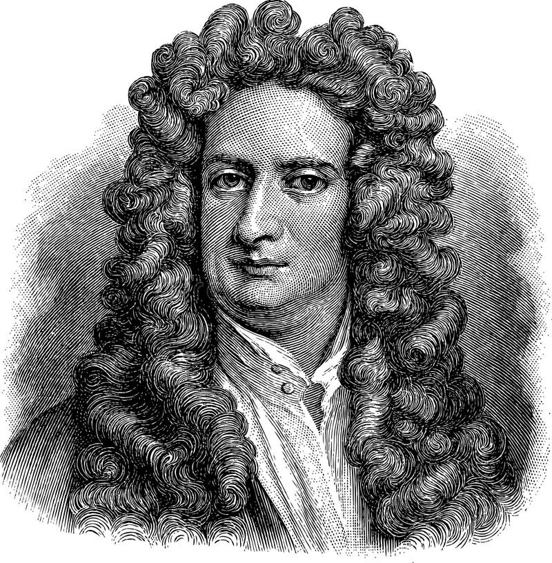
Free with trial Vectorized old illustration of Isaac Newton, engraving is from Meyers Lexicon published 1914. Great britain vectors Isaac Newton
Free with trial John Dalton (1766-1844) on engraving from 1800s. English chemist, meteorologist and physicist. Engraved by C. Cook after a picture by Allen and published by W. Mackenzie. Great britain illustrations John Dalton
Free with trial Map of Europe. 3d Very beautiful three-dimensional illustration, figure. Great britain illustrations Map of Europe. 3d
Free with trial Vector map with the English regions. Great britain vectors Regions of England. Vector map with the English regions.
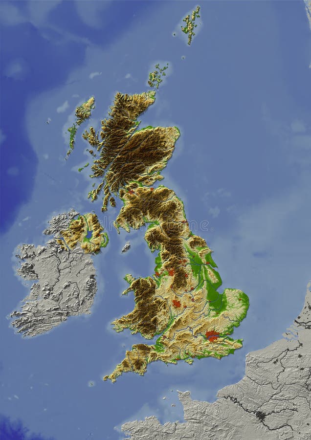
Free with trial Shaded relief map of United Kingdom. Shows major cities and rivers, surrounding territory greyed out. Artificially colored according to terrain height. Rivers and cities are shown embossed, the interior of the country is slightly elevated. The map projection is mercator. Great britain illustrations United Kingdom, relief map. Shaded relief map of United Kingdom. Shows major cities and rivers, surrounding territory greyed out. Artificially colored according to terrain height. Rivers and cities are shown embossed, the interior of the country is slightly elevated. The map projection is mercator.
Free with trial London architectural symbols: St. Paul Cathedral, Big Ben and Tower of London (pencil drawings). Great britain vectors London architectural symbols
Free with trial Vector london skyline silhouette. This is file of EPS10 format. Great britain vectors Vector london skyline silhouette
Free with trial Suitcase full of sights landmarks showplace flat 3d isometric isometry vacation travel tourism concept vector web site illustration. Creative travel collection. Great britain vectors Suitcase sights landmarks vacation travel flat isometric vector. Suitcase full of sights landmarks showplace flat 3d isometric isometry vacation travel tourism concept vector web site illustration. Creative travel collection.
Free with trial Abstract map of United Kingdom in blue colour. Great britain illustrations Map of United Kingdom
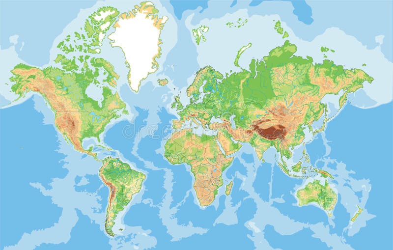
Free with trial Highly detailed physical map of the World. Vector illustration. Great britain vectors Highly detailed physical map of the World.
Free with trial City skyline, vector graphics, eps 10. Great britain vectors London skyline. City skyline, vector graphics, eps 10
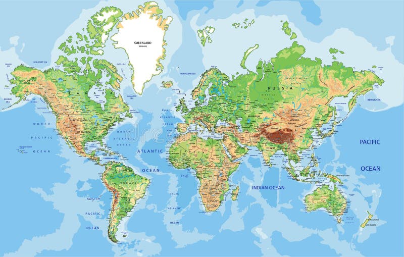
Free with trial Physical World map in Mercator projection with clearly labeled, separated layers. Vector illustration. Great britain vectors Highly detailed physical World map with labeling. Vector illustration. Physical World map in Mercator projection with clearly labeled, separated layers. Vector illustration.
Free with trial United Kingdom UK - Europe Countries Map Vector Icon Template Illustration Design. Editable Vector EPS 10. Great britain vectors United Kingdom UK - Europe Countries Map Vector Icon Template Illustration Design. Vector EPS 10. United Kingdom UK - Europe Countries Map Vector Icon Template. United Kingdom UK - Europe Countries Map Vector Icon Template Illustration Design. Editable Vector EPS 10.