
Royalty-Free Illustration

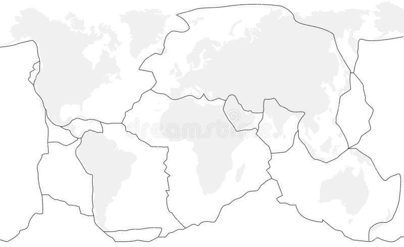
Tectonic plates. Physical. Winkel I projection 180. Tectonic plate boundaries on a physical map of the world in the Winkel I projection centered on the meridian 180 longitude
- ?
Size MAX
5498x2880px •
18.3" x 9.6" • @300dpi •
8.8MB • jpg
Author credit line

Image keywords
Related searches
More similar stock illustrations


More stock photos from Yarr65's portfolio


