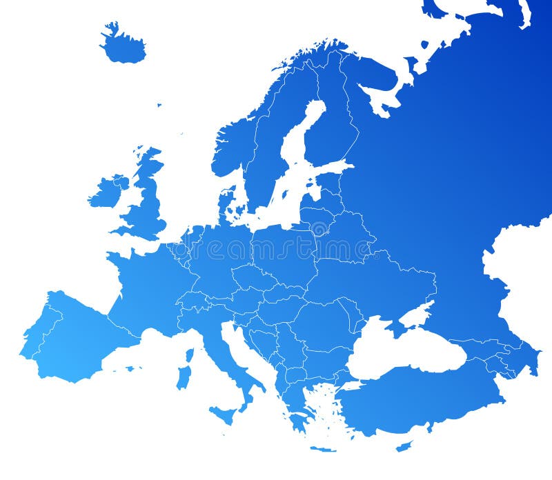
Free with trial Europe map, Vector map - size and color can be changed. Administrative vectors Europe vector map. Europe map, Vector map - size and color can be changed. Europe map, Vector map - size and color can be changed.
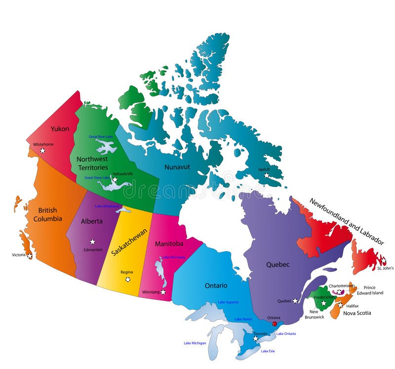
Free with trial Canada map designed in illustration with the states colored in bright colors and with the main cities. Neighbouring countries are in an additional format (. AI) in the latent layer. Administrative vectors Canada map. Designed in illustration with the states colored in bright colors and with the main cities. Neighbouring countries are in an additional format (. AI
Free with trial Europe map, Vector map - size and color can be changed. Administrative vectors Europe vector map. Europe map, Vector map - size and color can be changed. Europe map, Vector map - size and color can be changed.
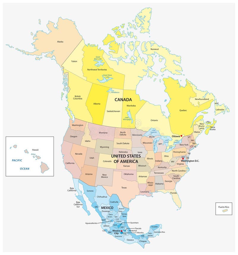
Free with trial Administrative and political vector map of the three North American states, Mexico, Canada and the United States of America. Administrative vectors Administrative and political vector map of the three North American states, Mexico, Canada and the United States of America.
Free with trial Us interstate highway, administrative and political vector map. Administrative vectors Us interstate highway, administrative and political vector map.
Free with trial South Holland - province of the Netherlands. Administrative division of the Netherlands. Map of South Holland with municipalities. Administrative vectors South Holland - province of the Netherlands. Administrative division of the Netherlands. Map of South Holland with municipalities
Free with trial Wales map. Administrative Wales map which is divided into 22 unitary authority areas. Administrative vectors Wales map. Administrative Wales map which is divided into 22 unitary authority areas
Free with trial Province of Canada - Quebec. Administrative division of Canada. Map of Quebec with regions and main cities, vector illustration. Administrative vectors Province of Canada - Quebec. Administrative division of Canada. Map of Quebec with regions and main cities, vector illustration
Free with trial Administrative division of Canada with regions and main cities. Administrative vectors Canada map. Administrative division of Canada with regions and main cities. Administrative division of Canada with regions and main cities.
Free with trial Limburg - province of the Netherlands. Administrative division of the Netherlands. Map of Limburg with municipalities. Administrative vectors Limburg - province of the Netherlands. Administrative division of the Netherlands. Map of Limburg with municipalities
Free with trial North Brabant - province of the Netherlands. Administrative division of the Netherlands. Map of North Brabant with municipalities. Administrative vectors North Brabant - province of the Netherlands. Administrative division of the Netherlands. Map of North Brabant with municipalities
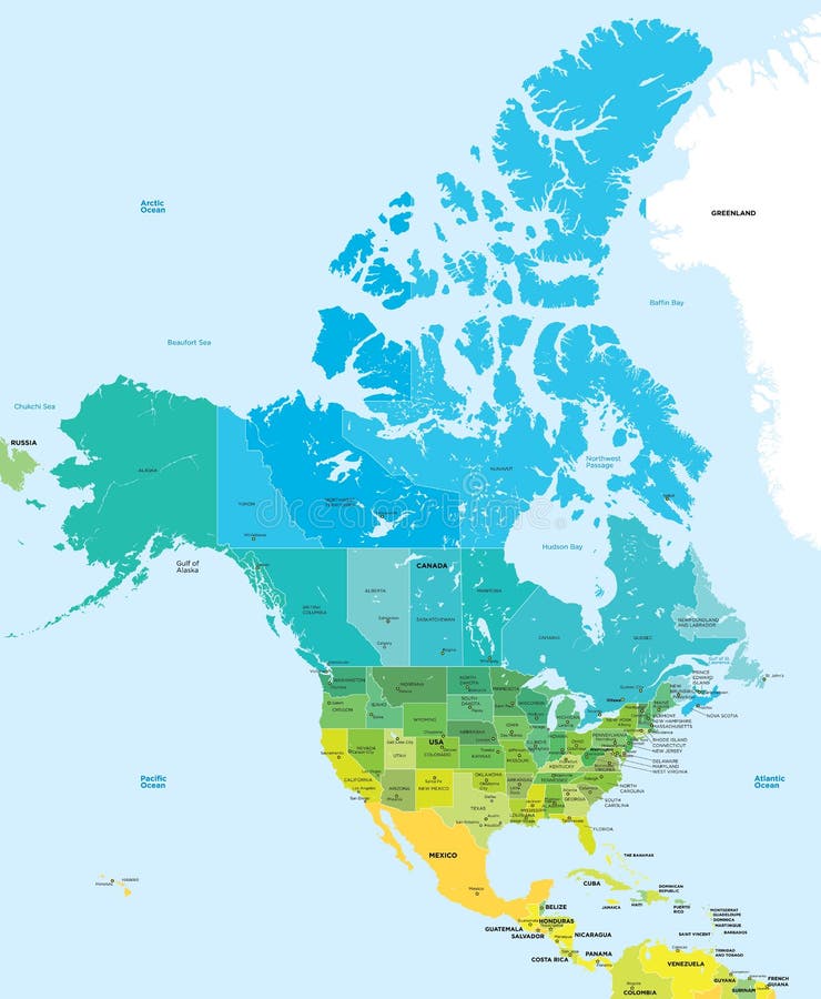
Free with trial Color map of the USA and Canada. Administrative color map of the USA and Canada. Administrative vectors Color map of the USA and Canada. Administrative color map of the USA and Canada
Free with trial Color map of China. Administrative vector сolor map of China. Administrative vectors Color map of China. Administrative vector сolor map of China
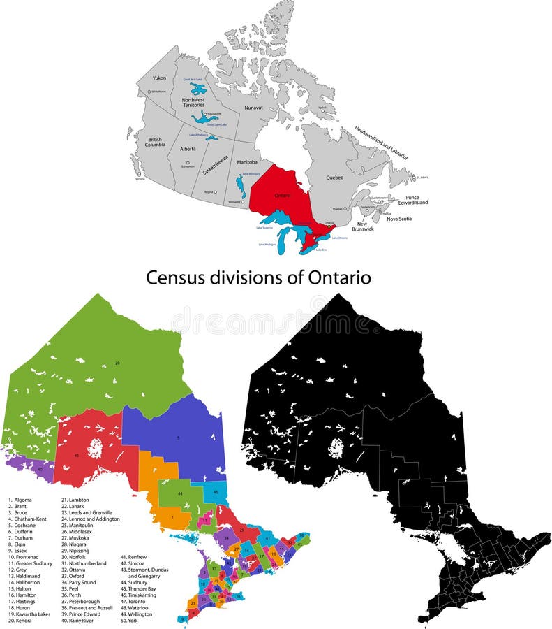
Free with trial Province of Canada - Ontario. Administrative division of Canada. Map of Ontario with census divisions, vector illustration. Administrative vectors Province of Canada - Ontario. Administrative division of Canada. Map of Ontario with census divisions, vector illustration
Free with trial Map of provinces and territories of Canada. Detailed map of administrative divisions of Canada. Administrative vectors Map of provinces and territories of Canada. Detailed map of administrative divisions of Canada
Free with trial Europe vector map. Europe colour administrative vector map. Administrative vectors Europe vector map. Europe colour administrative vector map
Free with trial Province of Canada - New Brunswick. Administrative division of Canada. Map of New Brunswick with counties and main cities, vector illustration. Administrative vectors Province of Canada - New Brunswick. Administrative division of Canada. Map of New Brunswick with counties and main cities, vector illustration
Free with trial Dubai vector map. Detailed vector map of Dubai city administrative area. Cityscape poster metropolitan aria view. Black land with white streets, roads and avenues. White background. Administrative vectors Dubai vector map. Detailed black map of Dubai city poster with streets. Cityscape urban vector. Dubai vector map. Detailed vector map of Dubai city. Dubai vector map. Detailed vector map of Dubai city administrative area. Cityscape poster metropolitan aria view. Black land with white streets, roads and avenues. White background
Free with trial Netherlands map. Administrative division of Netherlands designed in illustration with the regions colored in bright colors and with the main cities. Administrative vectors Netherlands map. Administrative division of Netherlands designed in illustration with the regions colored in bright colors and with the main cities
Free with trial Federal states of Germany map with administrative districts and subdivisions. Administrative vectors Federal states of Germany map with administrative districts and subdivisions. Vector federal states of Germany map with administrative districts and subdivisions
Free with trial Mexico map designed in illustration with states colored in bright colors and with the main cities. Neighbouring countries are in an additional format (. AI) in the latent layer. Administrative vectors Mexico map. Designed in illustration with states colored in bright colors and with the main cities. Neighbouring countries are in an additional format (.AI) in
Free with trial Map of California state designed in illustration with the counties and the county seats. (Map is hight resolution). Administrative vectors State of California. Map of California state designed in illustration with the counties and the county seats. (Map is hight resolution. Map of California state designed in illustration with the counties and the county seats. (Map is hight resolution)
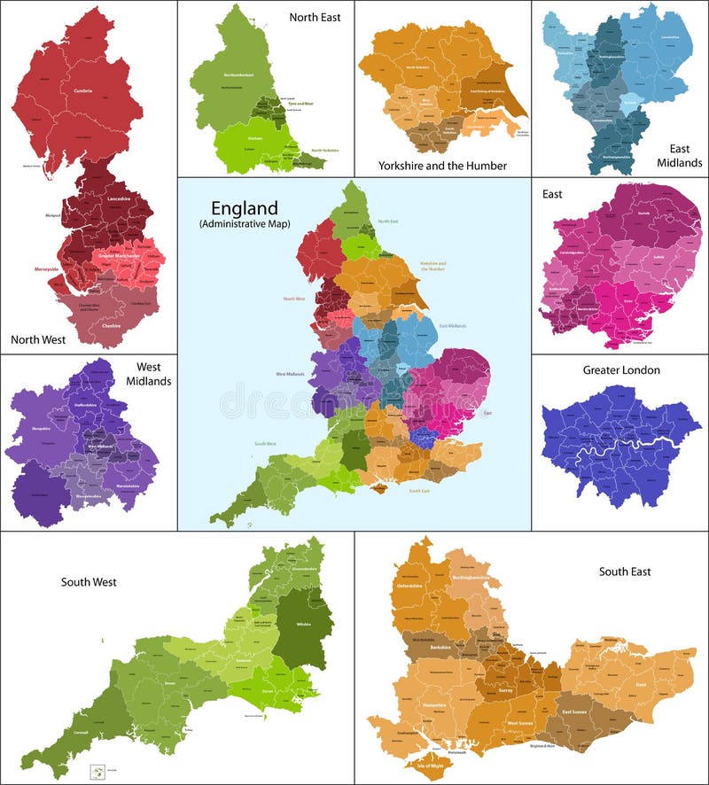
Free with trial The map shows the current subdivisions of England with a principal local authority: two-tier non-metropolitan counties and their non-metropolitan districts, metropolitan boroughs, unitary authorities, London boroughs and the sui generis City of London and Isles of Scilly. Administrative vectors England map. The map shows the current subdivisions of England with a principal local authority: two-tier non-metropolitan counties and their non-metropolitan. The map shows the current subdivisions of England with a principal local authority: two-tier non-metropolitan counties and their non-metropolitan districts, metropolitan boroughs, unitary authorities, London boroughs and the sui generis City of London and Isles of Scilly
Free with trial Scotland map. Scotland is divided into 32 areas designated as council areas which are all governed by unitary authorities designated as councils. Administrative vectors Scotland map. Scotland is divided into 32 areas designated as council areas which are all governed by unitary authorities designated as councils
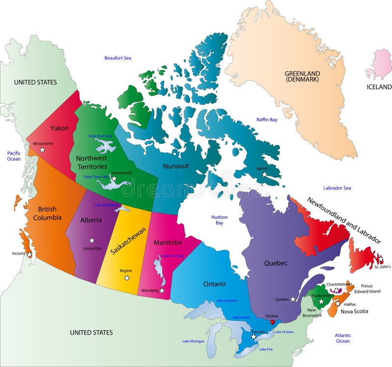
Free with trial Canada map designed in illustration with states colored in bright colors and with the main cities. On an illustration neighbouring countries are shown too. Administrative vectors Canada color map. Canada map designed in illustration with states colored in bright colors and with the main cities. On an illustration neighbouring countries. Canada map designed in illustration with states colored in bright colors and with the main cities. On an illustration neighbouring countries are shown too
Free with trial State of Arizona. Map of Arizona state designed in illustration with the counties and the county seats. (Map is hight resolution. Administrative vectors State of Arizona. Map of Arizona state designed in illustration with the counties and the county seats. (Map is hight resolution
Free with trial Map of Florida state designed in illustration with the counties and the county seats. (Map is hight resolution). Administrative vectors Map of Florida state. Designed in illustration with the counties and the county seats. (Map is hight resolution
Free with trial Expired grunge stamps. Set of four expired grunge stamps, red and black,isolated on white background. EPS file available. Administrative vectors Expired grunge stamps. Set of four expired grunge stamps, red and black,isolated on white background.EPS file available
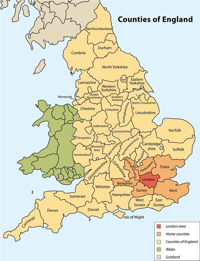
Free with trial Counties of England on vector map. Administrative vectors Counties of England. On vector map
Free with trial Asia map. Colorful Asia map with countries and capital cities. Administrative vectors Asia map. Colorful Asia map with countries and capital cities
Free with trial Texas map. Illustrated design of the map of Texas (USA), including counties and county seats. Isolated against a white background. Administrative vectors Texas map. Illustrated design of the map of Texas (USA), including counties and county seats. Isolated against a white background
Free with trial Political map of Europe in vector with present states borders. Administrative vectors Political map of Europe. In vector with present states borders
Free with trial Kentucky map. Illustrated design of the map of Kentucky (USA), including counties and county seats. Isolated against a white background. Administrative vectors Kentucky map. Illustrated design of the map of Kentucky (USA), including counties and county seats. Isolated against a white background
Free with trial Malaysia map designed in illustration with the provinces and the main cities. (Map is hight resolution). Administrative vectors Malaysia map. Designed in illustration with the provinces and the main cities. (Map is hight resolution
Free with trial A map of the African continent with each country on the continent colored in bright colors. Names of the countries and their capital are shown on a map too. Continent isolated on a white background. Administrative vectors Map of Africa. A map of the African continent with each country on the continent colored in bright colors. Names of the countries and their capital are shown on. A map of the African continent with each country on the continent colored in bright colors. Names of the countries and their capital are shown on a map too. Continent isolated on a white background.
Free with trial Caribbean map. Colorful Caribbean map with countries and capital cities. Administrative vectors Caribbean map. Colorful Caribbean map with countries and capital cities
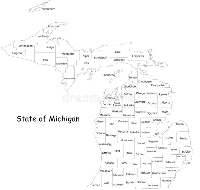
Free with trial Michigan state. Map of Michigan state designed in illustration with the counties and the county seats. (Map is hight resolution. Administrative vectors Michigan state. Map of Michigan state designed in illustration with the counties and the county seats. (Map is hight resolution
Free with trial State of Texas. Colorful illustrated design of the map of Texas (USA), including counties and county seats. Isolated against a white background. Administrative vectors State of Texas. Colorful illustrated design of the map of Texas (USA), including counties and county seats. Isolated against a white background
Free with trial Map of Mississippi state designed in illustration with the counties and the county seats. Administrative vectors Mississippi map. Map of Mississippi state designed in illustration with the counties and the county seats. Map of Mississippi state designed in illustration with the counties and the county seats.
Free with trial Tax free stamps. Set of four tax free grunge stamps isolated on white background. EPS file available. Administrative vectors Tax free stamps. Set of four tax free grunge stamps isolated on white background.EPS file available
Free with trial State of Oregon. Map of Oregon state designed in illustration with the counties and the county seats. (Map is hight resolution. Administrative vectors State of Oregon. Map of Oregon state designed in illustration with the counties and the county seats. (Map is hight resolution
Free with trial Map of Virginia. Illustrated design of the map of Virginia (USA), including counties and county seats. Isolated against a white background. Administrative vectors Map of Virginia. Illustrated design of the map of Virginia (USA), including counties and county seats. Isolated against a white background
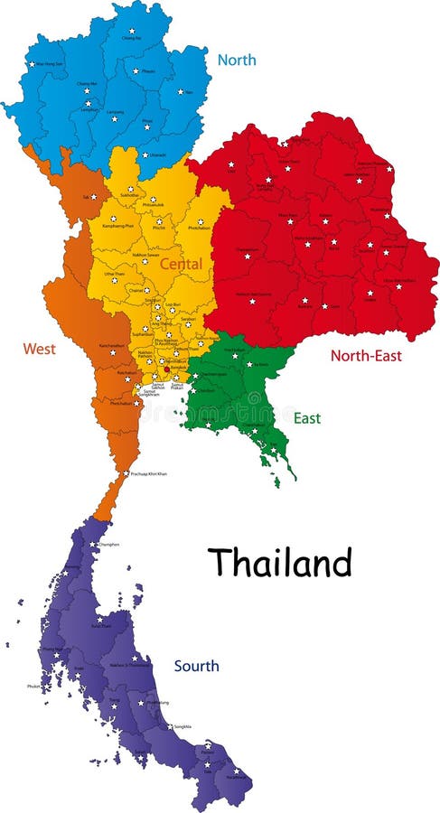
Free with trial Map of Thailand. Thailand map designed in illustration with the regions and provinces with the main cities. (Map is in high resolution. Administrative vectors Map of Thailand. Thailand map designed in illustration with the regions and provinces with the main cities. (Map is in high resolution
Free with trial Saudi Arabia map designed in illustration with the provinces and the main cities. Administrative vectors Saudi Arabia map. Designed in illustration with the provinces and the main cities
Free with trial Africa blind map. Blind map of Africa with country borders. Names of the countries and their capital are in an additional format (. AI) in the latent layer. Administrative vectors Africa blind map. Blind map of Africa with country borders. Names of the countries and their capital are in an additional format (.AI) in the latent layer
Free with trial State of Florida. Map of Florida state designed in illustration with the counties and the county seats. (Map is hight resolution. Administrative vectors State of Florida. Map of Florida state designed in illustration with the counties and the county seats. (Map is hight resolution
Free with trial South Africa map designed in illustration with the provinces and the main cities. Administrative vectors South Africa map. Designed in illustration with the provinces and the main cities
Free with trial State of Georgia. Map of Georgia state designed in illustration with the counties and the county seats. (Map is hight resolution. Administrative vectors State of Georgia. Map of Georgia state designed in illustration with the counties and the county seats. (Map is hight resolution
Free with trial State of Illinois. Illustrated design of the map of Illinois (USA), including counties and county seats. Isolated against a white background. Administrative vectors State of Illinois. Illustrated design of the map of Illinois (USA), including counties and county seats. Isolated against a white background
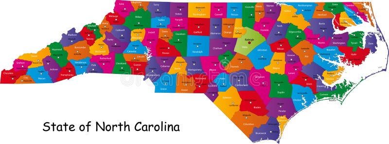
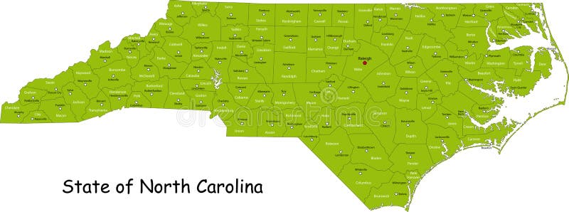
Free with trial North Carolina map. Colorful illustrated design of the map of North Carolina (USA), including counties and county seats. Isolated against a white background. Administrative vectors North Carolina map. Colorful illustrated design of the map of North Carolina (USA), including counties and county seats. Isolated against a white background
Free with trial Map of Wisconsin state designed in illustration with the counties and the county seats. (Map is hight resolution). Administrative vectors State of Wisconsin. Map of Wisconsin state designed in illustration with the counties and the county seats. (Map is hight resolution. Map of Wisconsin state designed in illustration with the counties and the county seats. (Map is hight resolution)
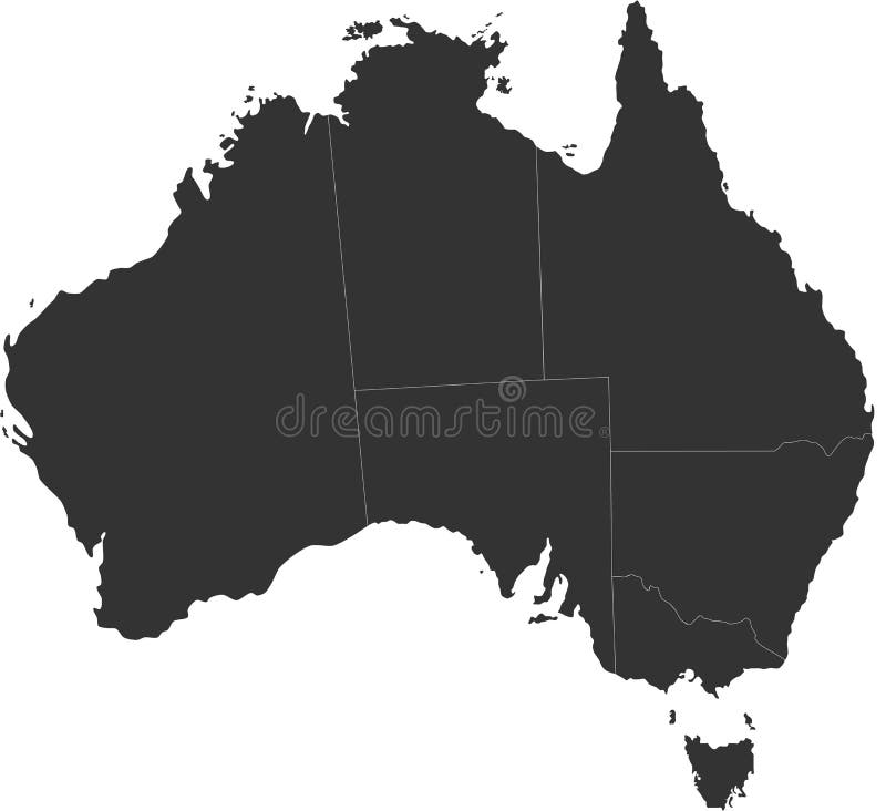
Free with trial Blind map of Australia with country borders. Names of the states and their the main cities are in an additional format (. AI) in the latent layer. Administrative vectors Australia blind map. Blind map of Australia with country borders. Names of the states and their the main cities are in an additional format (. AI) in the latent. Blind map of Australia with country borders. Names of the states and their the main cities are in an additional format (. AI) in the latent layer
Free with trial South Africa map designed in illustration with the provinces and the main cities. Administrative vectors Map of South Africa. South Africa map designed in illustration with the provinces and the main cities. South Africa map designed in illustration with the provinces and the main cities.
Free with trial Map of South Carolina state designed in illustration with the counties and the county seats. (Map is hight resolution). Administrative vectors South Carolina state. Map of South Carolina state designed in illustration with the counties and the county seats. (Map is hight resolution. Map of South Carolina state designed in illustration with the counties and the county seats. (Map is hight resolution)
Free with trial Map of Michigan state designed in illustration with the counties and the county seats. (Map is hight resolution). Administrative vectors Map of Michigan state. Designed in illustration with the counties and the county seats. (Map is hight resolution
Free with trial Map of California state designed in illustration with the counties and the county seats. (Map is hight resolution). Administrative vectors Map of California state. Designed in illustration with the counties and the county seats. (Map is hight resolution
Free with trial Illustrated design of the map of North Carolina (USA), including counties and county seats. Isolated against a white background. Administrative vectors State of North Carolina. Illustrated design of the map of North Carolina (USA), including counties and county seats. Isolated against a white background. Illustrated design of the map of North Carolina (USA), including counties and county seats. Isolated against a white background.
Free with trial Map of New Hampshire state designed in illustration with the counties and the county seats. (Map is hight resolution). Administrative vectors Map of New Hampshire state. Designed in illustration with the counties and the county seats. (Map is hight resolution
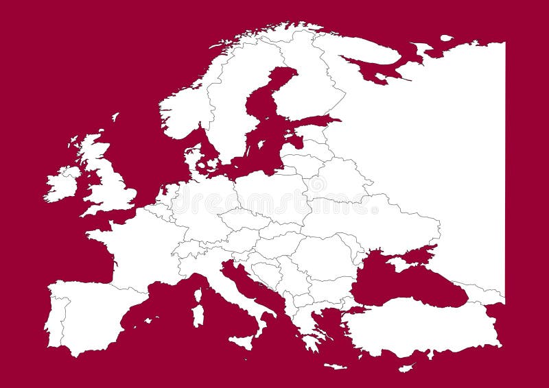
Free with trial This is a Europe map, Vector map - size and color can be changed for additional format! Great for your editorial article, news repport and other media!. Administrative vectors Europe vectorial map on red. This is a Europe map, Vector map - size and color can be changed for additional format! Great for your editorial article, news. This is a Europe map, Vector map - size and color can be changed for additional format! Great for your editorial article, news repport and other media!
Free with trial Commonwealth of Pennsylvania designed in illustration with the counties and the county seats. (Map is hight resolution). Administrative vectors Commonwealth of Pennsylvania. Designed in illustration with the counties and the county seats. (Map is hight resolution
Free with trial Commonwealth of Pennsylvania designed in illustration with the counties and the county seats. (Map is hight resolution). Administrative vectors Commonwealth of Pennsylvania. Designed in illustration with the counties and the county seats. (Map is hight resolution
Free with trial Map of Washington state designed in illustration with the counties and the county seats. (Map is hight resolution). Administrative vectors State of Washington. Map of Washington state designed in illustration with the counties and the county seats. (Map is hight resolution. Map of Washington state designed in illustration with the counties and the county seats. (Map is hight resolution)
Free with trial Vector map of Africa with present political borders. Administrative vectors Africa vector map. Vector map of Africa with present political borders. Vector map of Africa with present political borders.
Free with trial Turkey. Map designed in illustration with regions colored in bright colors. Vector illustration. Administrative vectors Turkey. Map designed in illustration with regions colored in bright colors. Vector illustration
Free with trial China political map with capital Beijing, national borders, important cities, rivers and lakes. English labeling and scaling. Illustration. Administrative vectors China Political Map. With capital Beijing, national borders, important cities, rivers and lakes. English labeling and scaling. Illustration
Free with trial Top secret - confidential grunge stamp set. Set of four top secret confidential grunge stamp, red and black,isolated on white. EPS file available. Administrative vectors Top secret - confidential grunge stamp set. Set of four top secret confidential grunge stamp, red and black,isolated on white.EPS file available
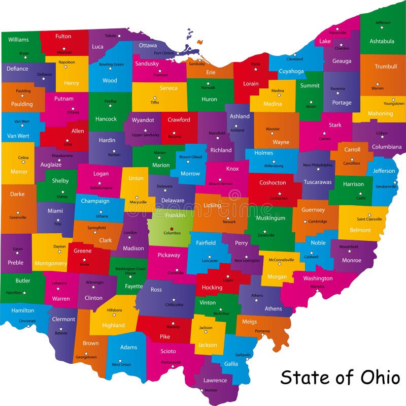
Free with trial Ohio map. Map of Ohio state designed in illustration with the counties and the county seats. Administrative vectors Ohio map. Map of Ohio state designed in illustration with the counties and the county seats
Free with trial China map. People's Republic of China map designed in illustration with regions colored in bright colors. Vector illustration. Administrative vectors China map. People's Republic of China map designed in illustration with regions colored in bright colors. Vector illustration
Free with trial Hawaii map. Map of Hawaii state designed in illustration with the counties and the county seats. Administrative vectors Hawaii map. Map of Hawaii state designed in illustration with the counties and the county seats
Free with trial Panama map designed in illustration with the regions colored in bright colors and with the main cities. (Map is hight resolution). Administrative vectors Panama map. Designed in illustration with the regions colored in bright colors and with the main cities. (Map is hight resolution
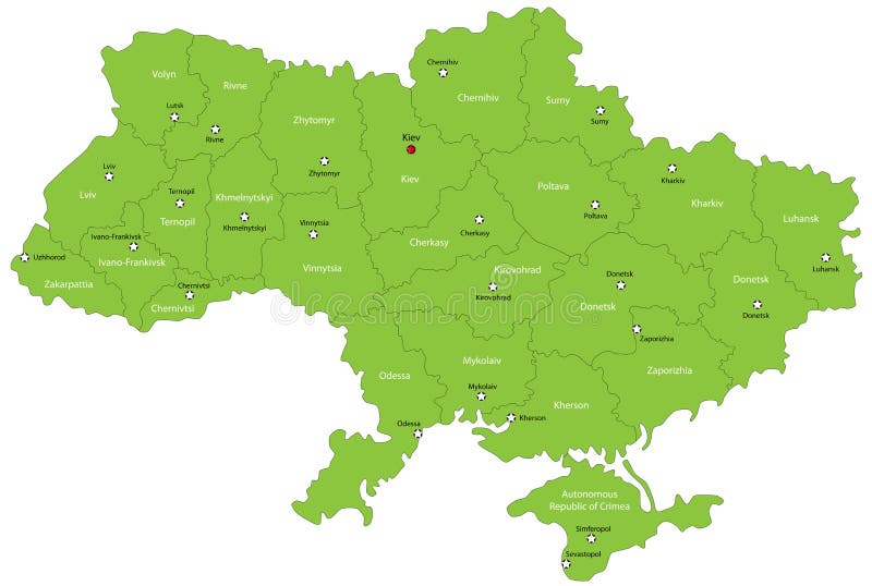
Free with trial Ukraine map designed in illustration with the oblasts colored in green colors and with the main cities. Neighbouring countries are in an additional format (. AI) in the latent layer. Administrative vectors Ukraine map. Designed in illustration with the oblasts colored in green colors and with the main cities. Neighbouring countries are in an additional format (. Ukraine map designed in illustration with the oblasts colored in green colors and with the main cities. Neighbouring countries are in an additional format (. AI) in the latent layer.
Free with trial Illinois map. Colorful illustrated design of the map of Illinois (USA), including counties and county seats. Isolated against a white background. Administrative vectors Illinois map. Colorful illustrated design of the map of Illinois (USA), including counties and county seats. Isolated against a white background
Free with trial Thailand map designed in illustration with the provinces and the main cities. (Map is hight resolution). Administrative vectors Thailand map. Designed in illustration with the provinces and the main cities. (Map is hight resolution
Free with trial India map designed in illustration with the regions colored in bright colors and with the main cities. On an illustration neighbouring countries are shown too. Administrative vectors Map of India. India map designed in illustration with the regions colored in bright colors and with the main cities. On an illustration neighbouring countries. India map designed in illustration with the regions colored in bright colors and with the main cities. On an illustration neighbouring countries are shown too
Free with trial Honduras map designed in illustration with the regions colored in bright colors and with the main cities. Administrative vectors Honduras map. Designed in illustration with the regions colored in bright colors and with the main cities
Free with trial Map of Minnesota state designed in illustration with the counties and the county seats. Administrative vectors Minnesota map. Map of Minnesota state designed in illustration with the counties and the county seats. Map of Minnesota state designed in illustration with the counties and the county seats.
Free with trial Nicaragua map designed in illustration with the regions colored in bright colors and with the main cities. Administrative vectors Nicaragua map. Designed in illustration with the regions colored in bright colors and with the main cities
Free with trial Map of Panama. Panama map designed in illustration with the regions colored in bright colors and with the main cities. (Map is hight resolution. Administrative vectors Map of Panama. Panama map designed in illustration with the regions colored in bright colors and with the main cities. (Map is hight resolution
Free with trial Map of Ohio state designed in illustration with the counties and the county seats. Administrative vectors State of Ohio. Map of Ohio state designed in illustration with the counties and the county seats. Map of Ohio state designed in illustration with the counties and the county seats.
Free with trial Turkey map designed in illustration with the regions colored in bright colors and with the main cities. On an illustration neighbouring countries are shown too. Administrative vectors Map of Turkey. Turkey map designed in illustration with the regions colored in bright colors and with the main cities. On an illustration neighbouring countries. Turkey map designed in illustration with the regions colored in bright colors and with the main cities. On an illustration neighbouring countries are shown too
 Sign in